Elevation of Lyalta, AB T0J, Canada
Location: Canada > Alberta > Division No. 5 > Wheatland County >
Longitude: -113.60208
Latitude: 51.113996
Elevation: 964m / 3163feet
Barometric Pressure: 90KPa
Elevation Map:
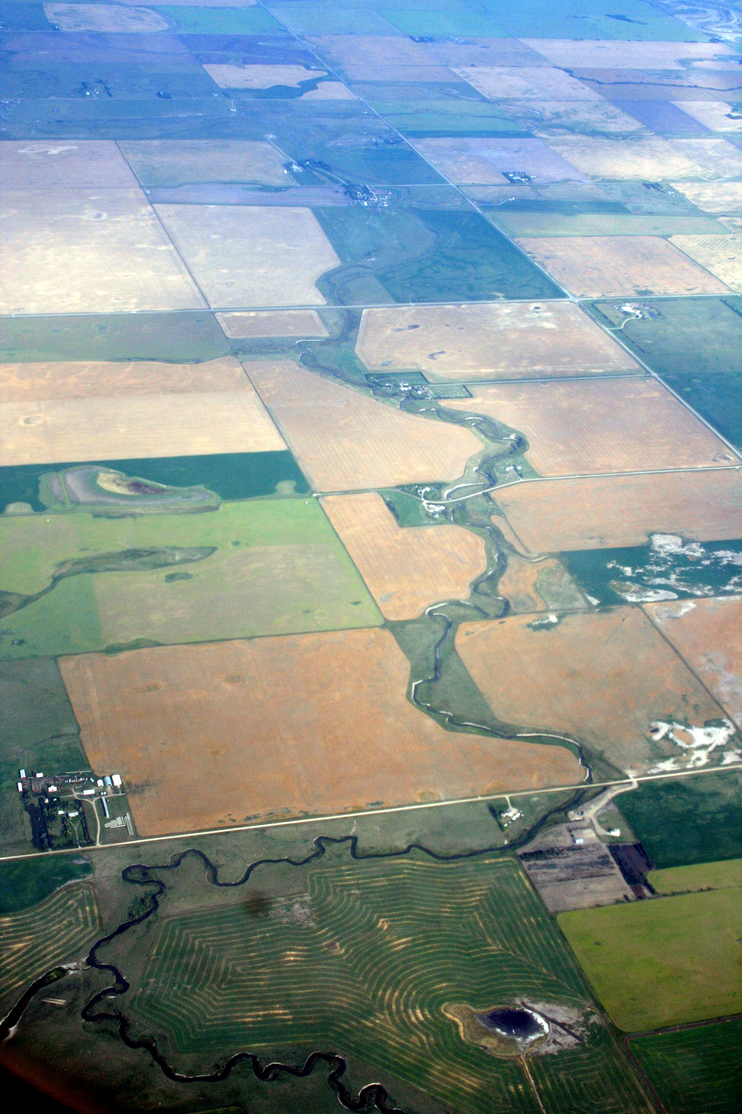
Satellite Map:
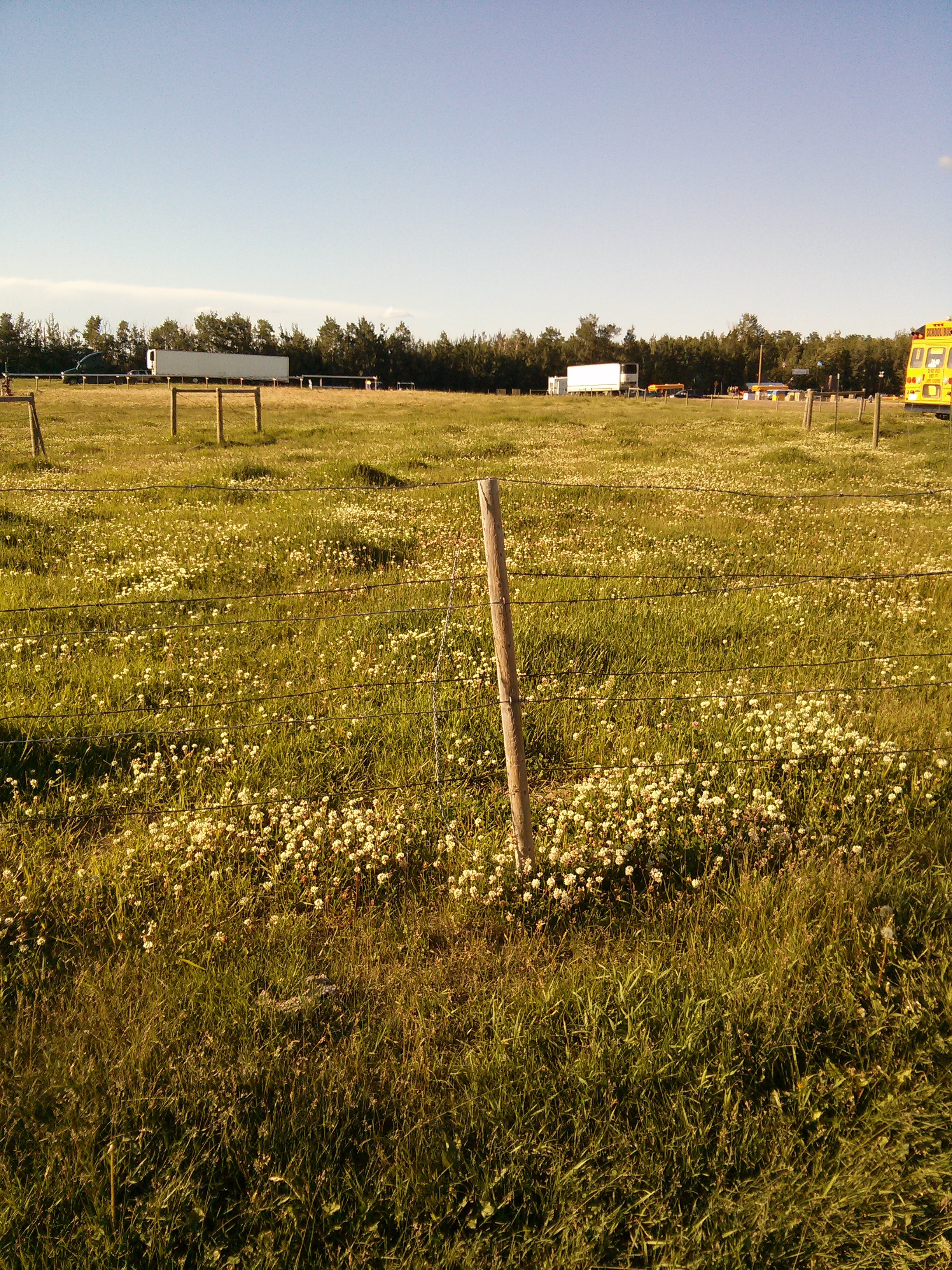
Related Photos:
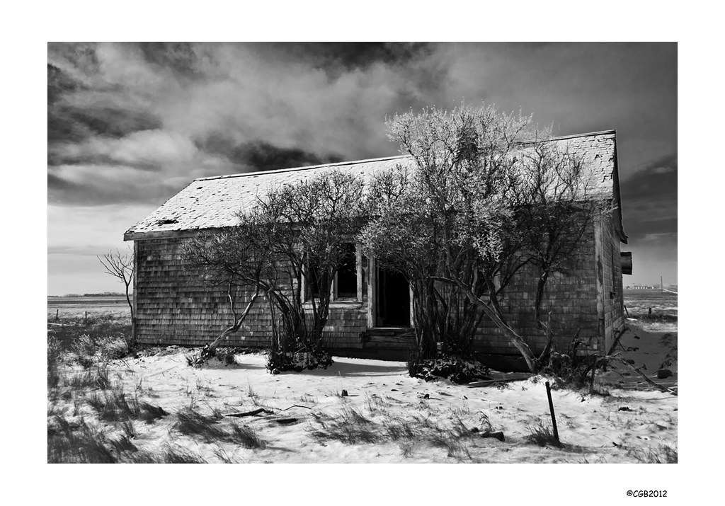
House 566.
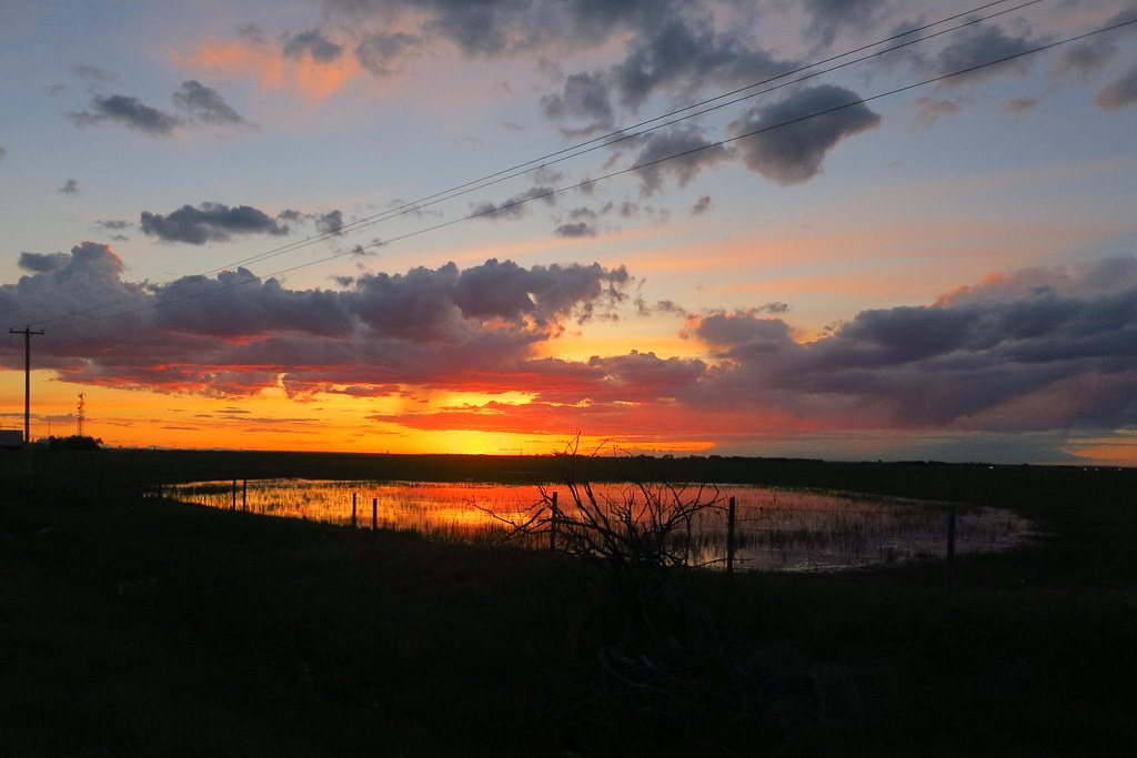
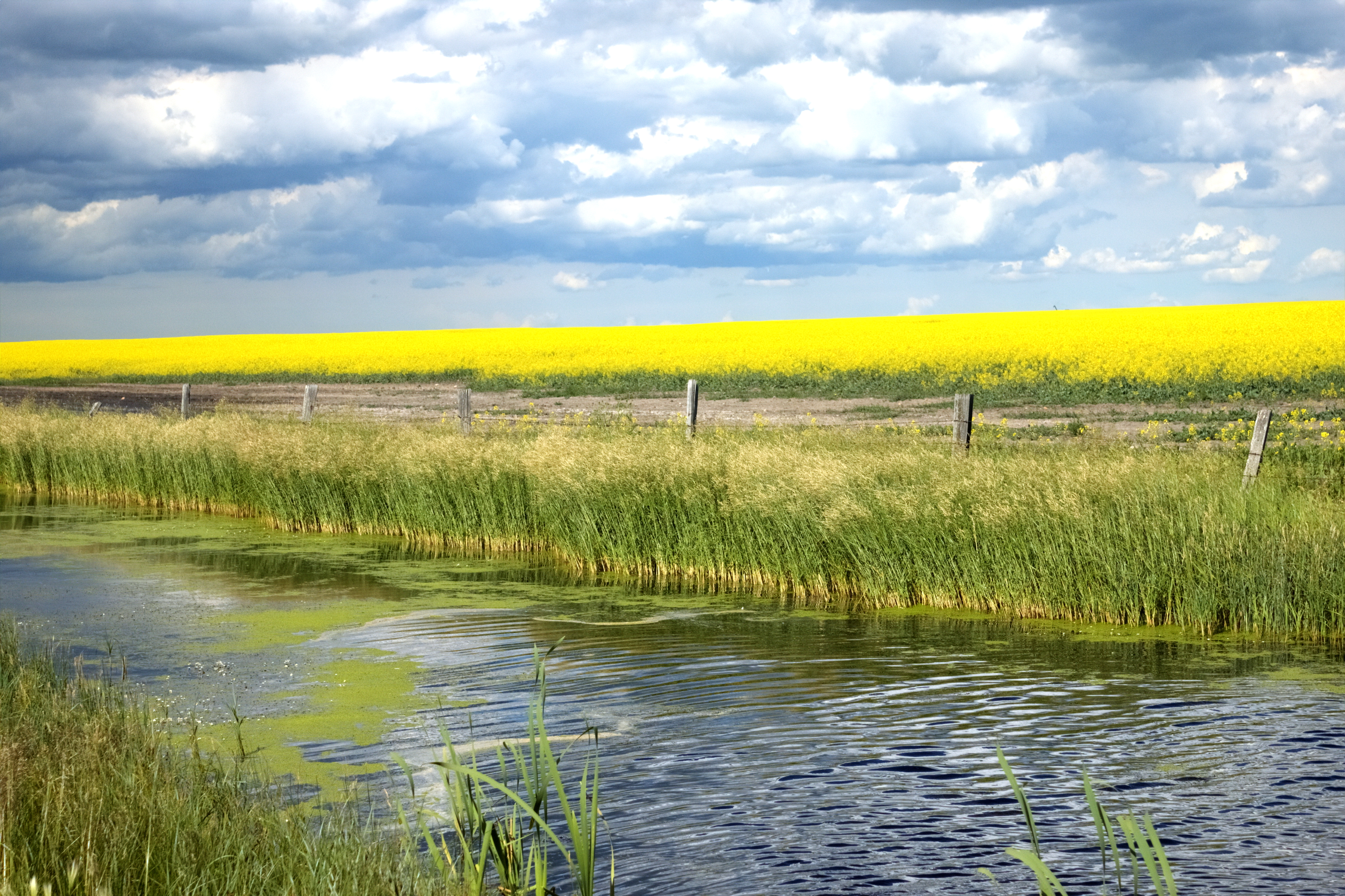
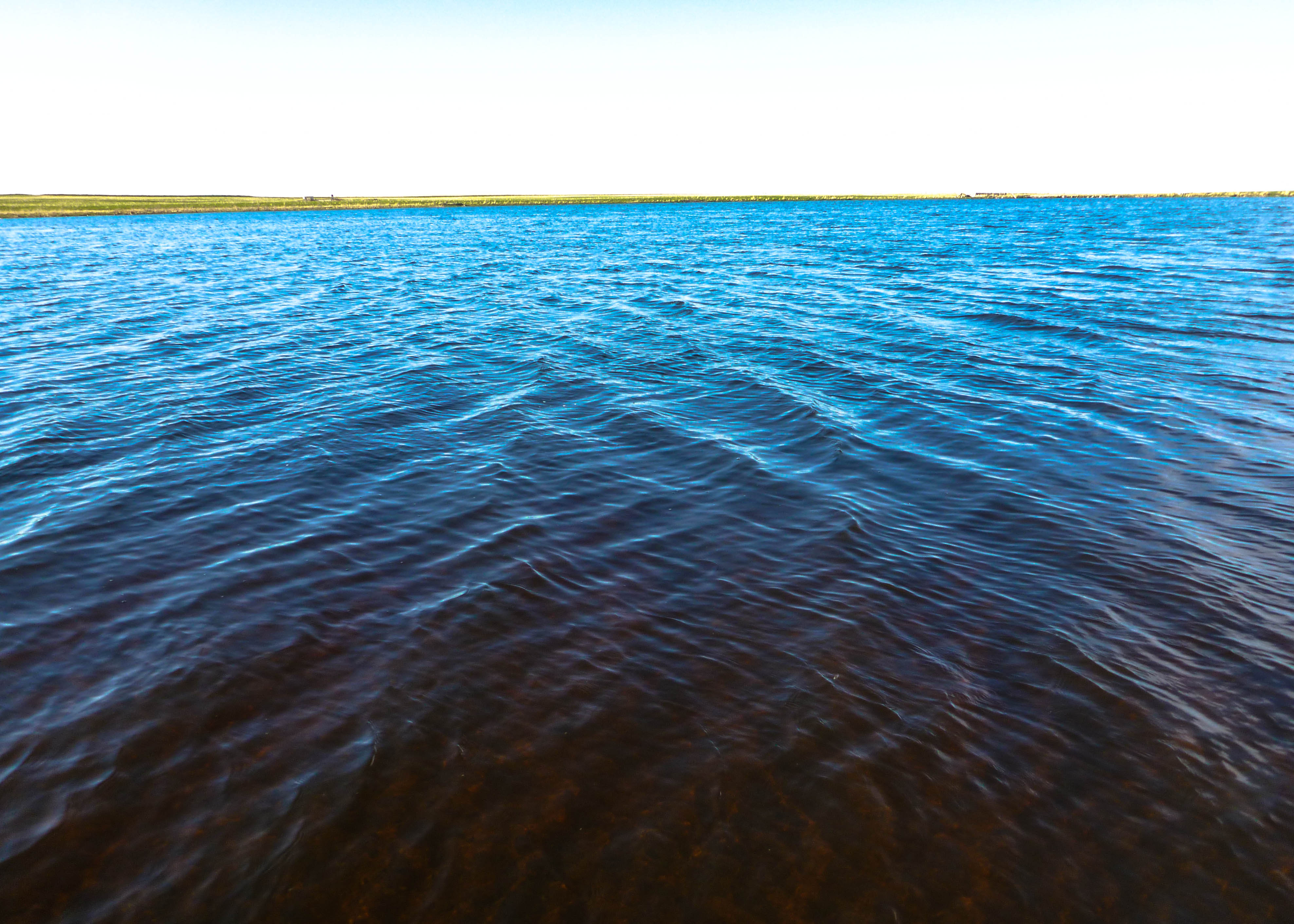
Country Slew Sunset ip_1128

AB10f07 Highway 1 view of Calgary, AB 2010
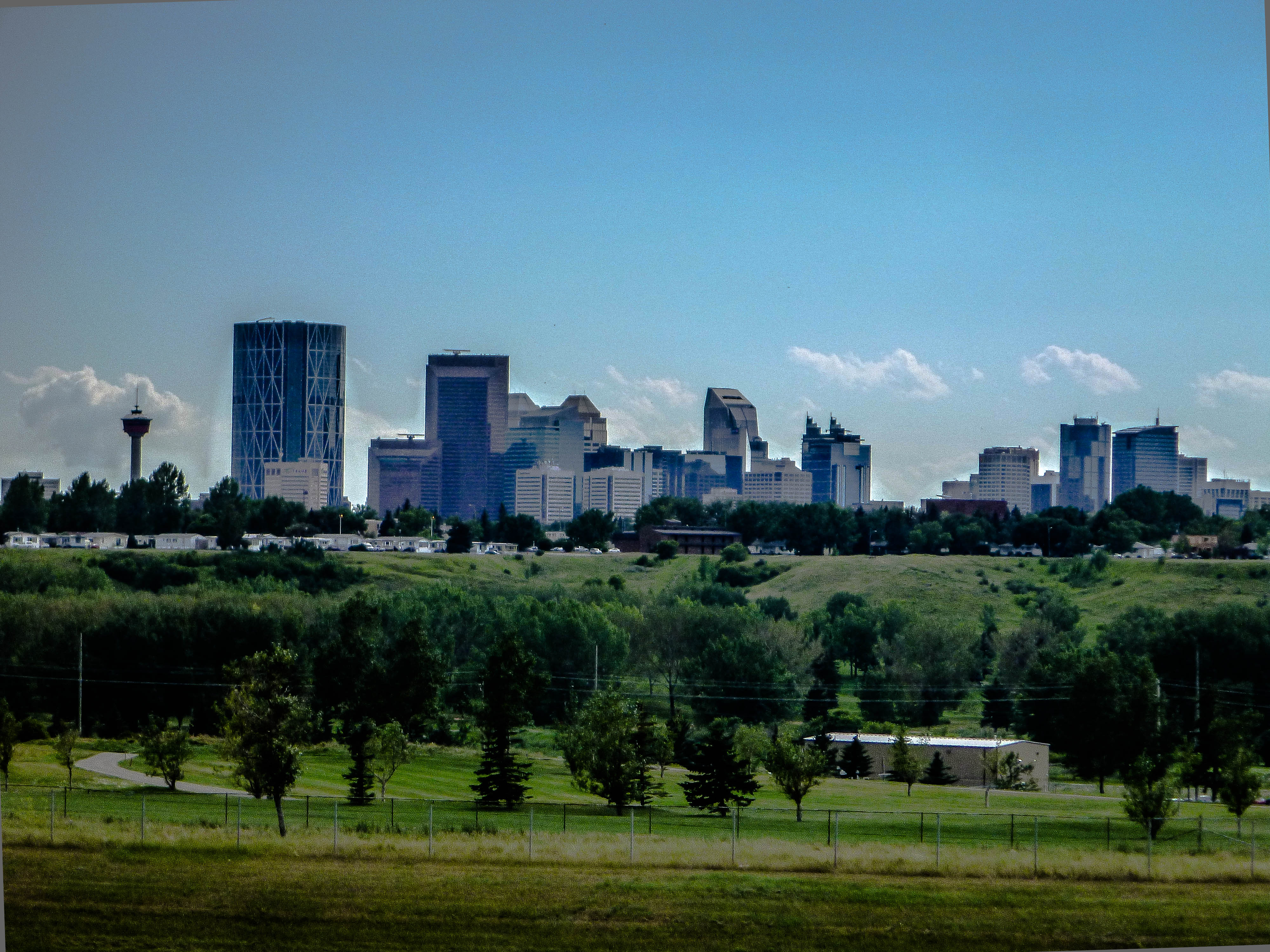
Calgary, as seen from my office
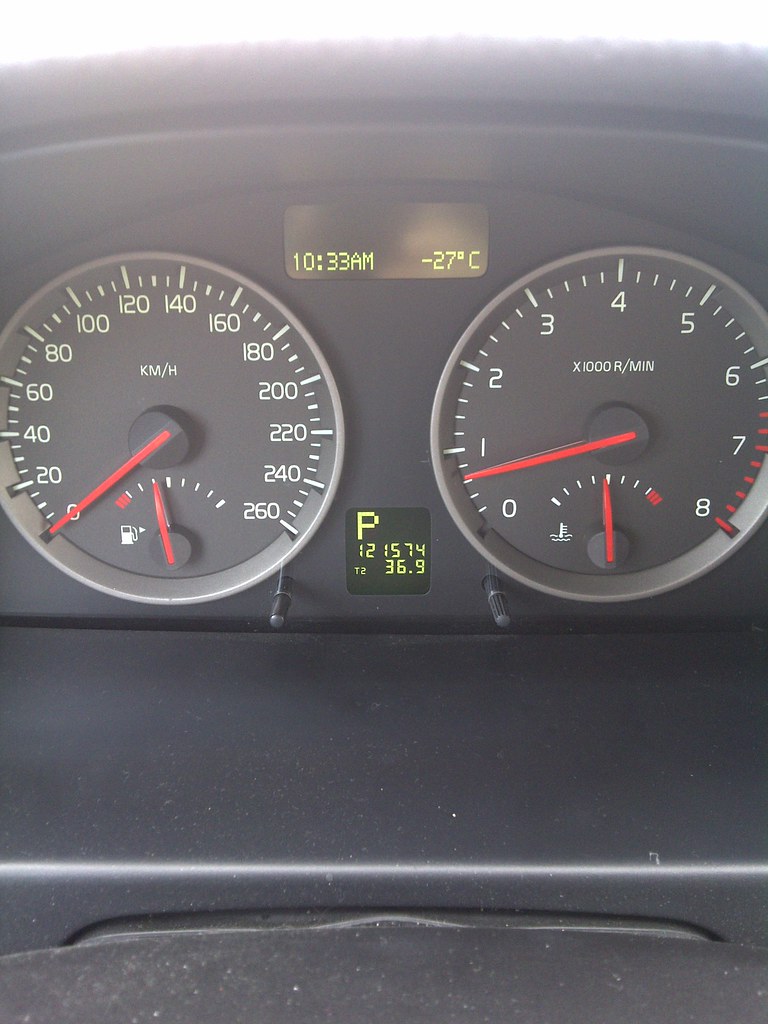
Rocky View No. 44-20101123-00054.jpg
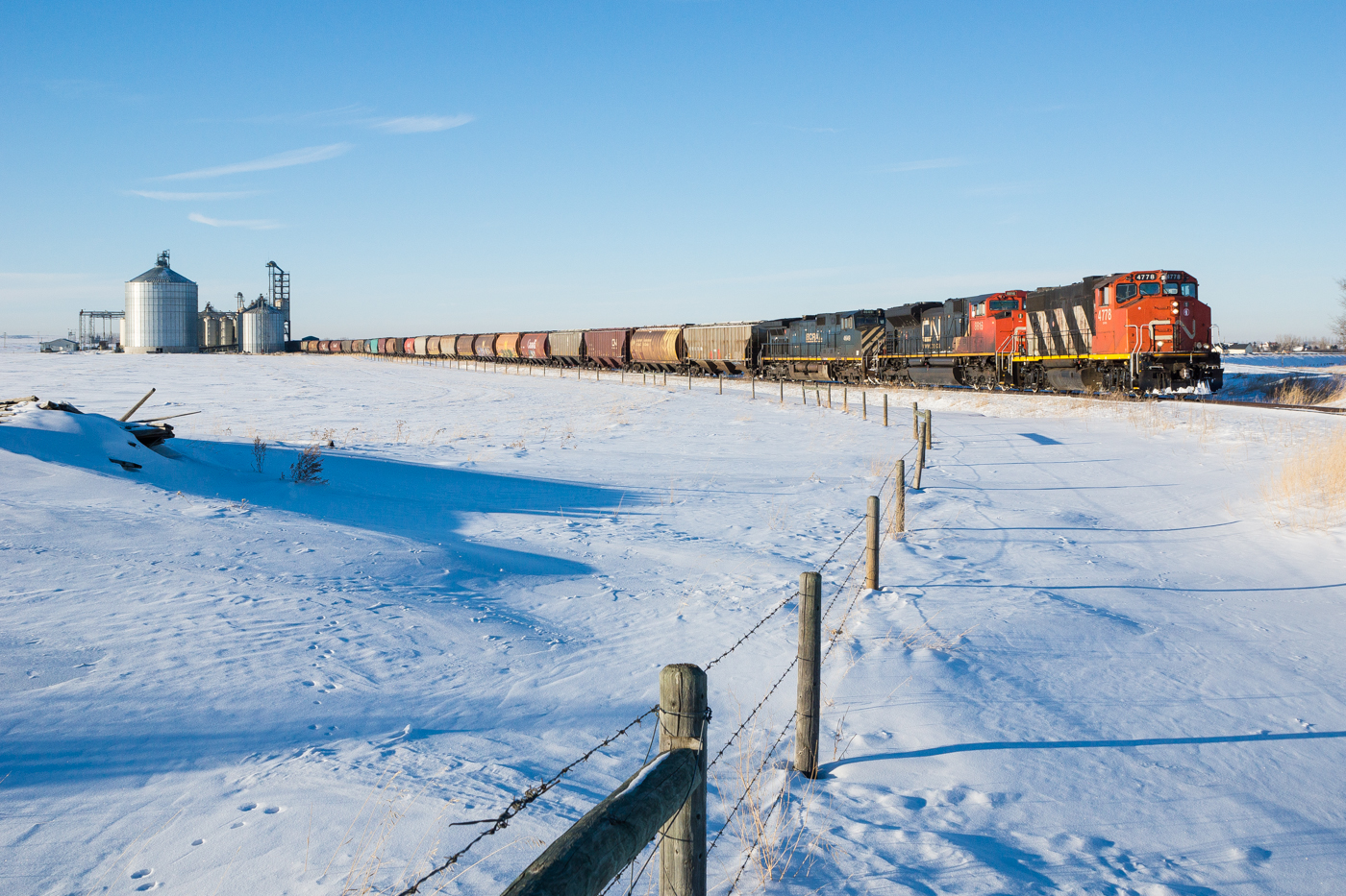
CN 566 @ Lyalta, AB
IMG_0168_cb.jpg
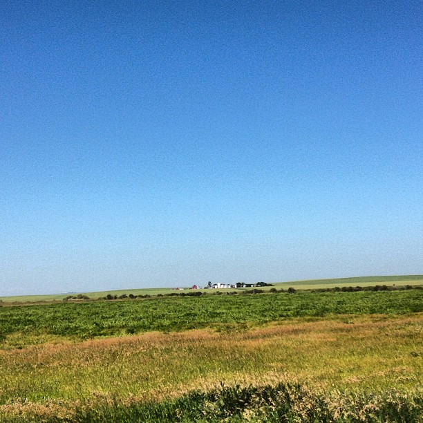
Sky and farm
IMG_0172-cb.jpg

Nature walk

The Catalyst

Shelter from the storm
Back Country
Matute wall. Part 1 #ab #canada #prairies
Wide open spaces
Let's do this!! #golf
Alberta Wasteland
A farm. Prairies. AB Canada
Lonley Alberta Bush

Silos and Sunshine
Jets at Sunset
Straight and... not straight
Canadian Jamboree 2013
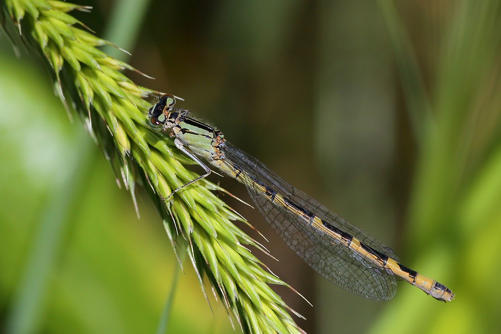
Enallagma sp

We're out of here

Wilson's Phalarope
Topographic Map of Lyalta, AB T0J, Canada
Find elevation by address:

Places in Lyalta, AB T0J, Canada:
Places near Lyalta, AB T0J, Canada:
79 Muirfield Cl, Lyalta, AB T0J 1Y1, Canada
Inverlake Road
The Cove
Cove Dr, Chestermere, AB T1X 1E9, Canada
Kinniburgh Crescent
Kinniburgh Place
Kinniburgh Place
Kinniburgh
Chestermere
Sandpiper Crescent
Westmere
329 Marina Dr
Trico Homes Dawson's Landing
Morrison Homes - Dawson's Landing Duplex
Chelsea Bay
32 Chelsea Cape
Chelsea Road
Nativity Bay, Calgary, AB T1X 1R1, Canada
317 Triune Bay
303 Triune Bay
Recent Searches:
- Elevation of Pykes Down, Ivybridge PL21 0BY, UK
- Elevation of Jalan Senandin, Lutong, Miri, Sarawak, Malaysia
- Elevation of Bilohirs'k
- Elevation of 30 Oak Lawn Dr, Barkhamsted, CT, USA
- Elevation of Luther Road, Luther Rd, Auburn, CA, USA
- Elevation of Unnamed Road, Respublika Severnaya Osetiya — Alaniya, Russia
- Elevation of Verkhny Fiagdon, North Ossetia–Alania Republic, Russia
- Elevation of F. Viola Hiway, San Rafael, Bulacan, Philippines
- Elevation of Herbage Dr, Gulfport, MS, USA
- Elevation of Lilac Cir, Haldimand, ON N3W 2G9, Canada