Elevation of Luttie Rd, Myrtle Beach, SC, USA
Location: United States > South Carolina > Horry County > Myrtle Beach >
Longitude: -78.980456
Latitude: 33.6890337
Elevation: 7m / 23feet
Barometric Pressure: 101KPa
Elevation Map:
Satellite Map:
Related Photos:

tiny dancer

Little golf getaway weekend. ????⛳
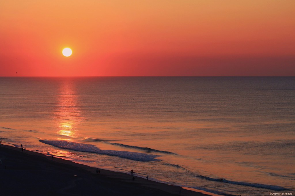
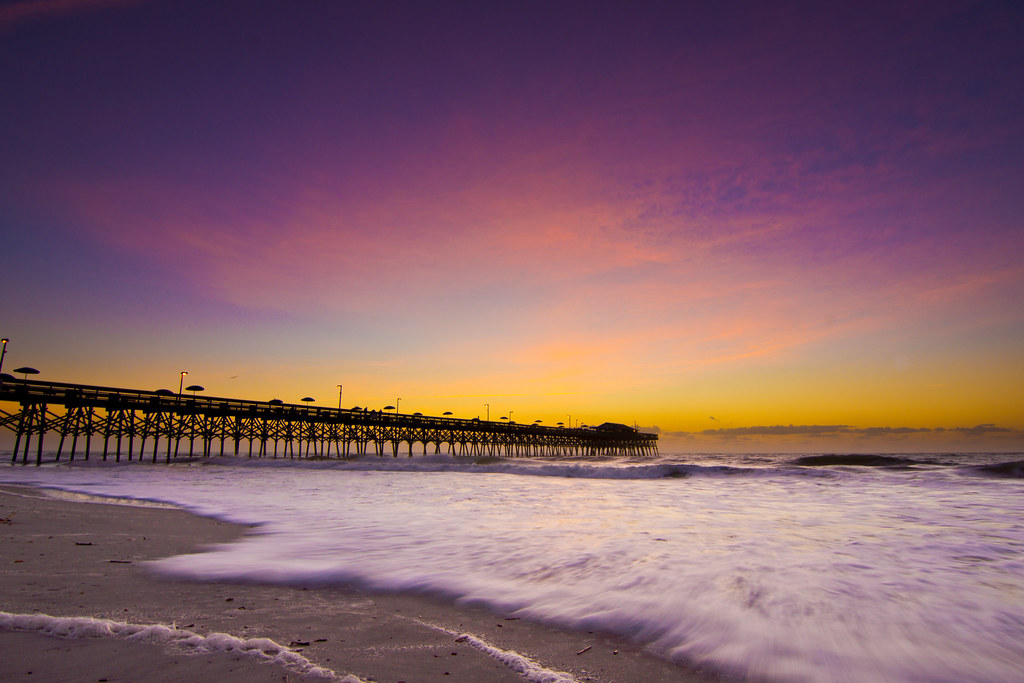
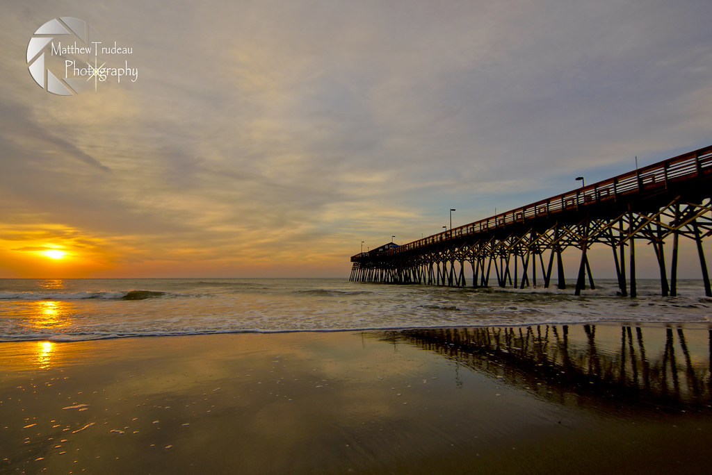
Myrtle Beach Sunset

Feeling Blue

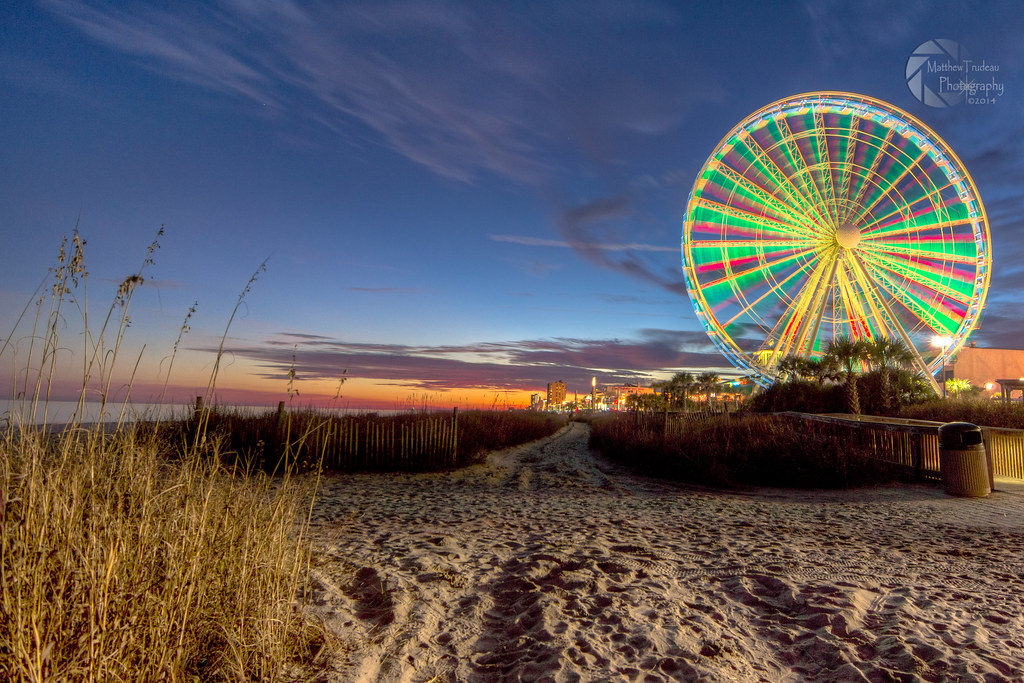
Night Skyline - Myrtle Beach (South Carolina)

Fishing at Dusk
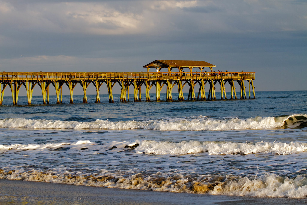
Life's a Beach
Myrtle Beach Sunset
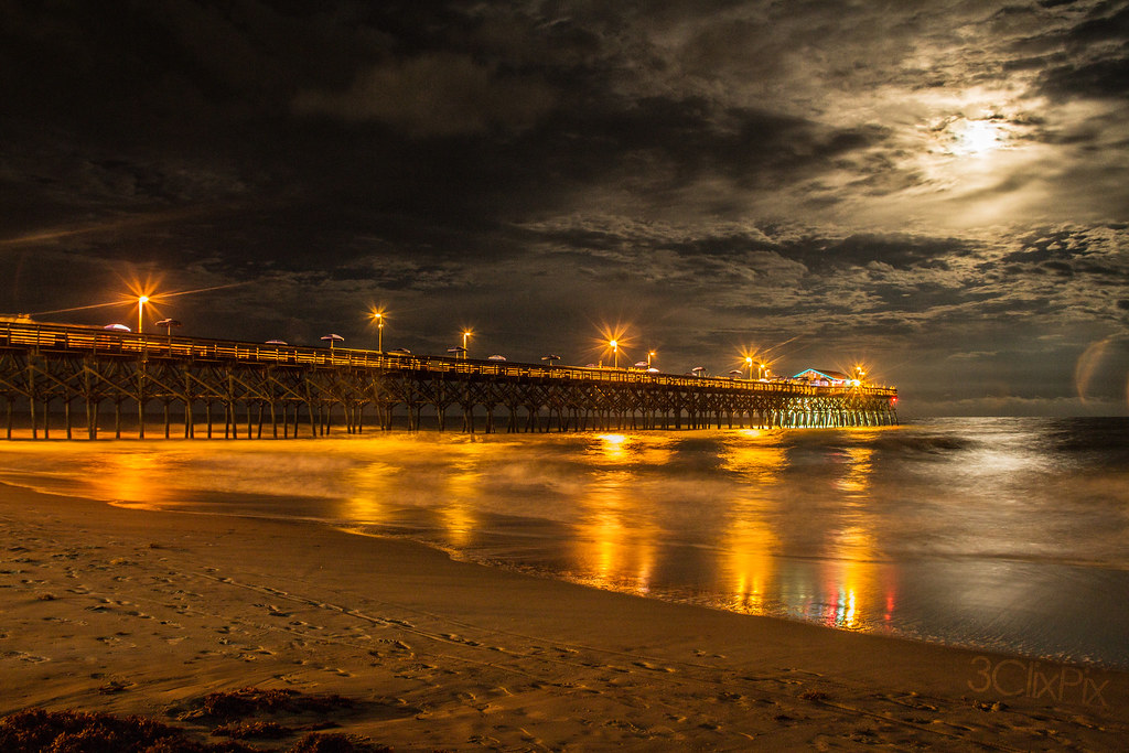
Moon Light
IMG_0438x3hdr.jpg

The Atlantic
Rolling Tide
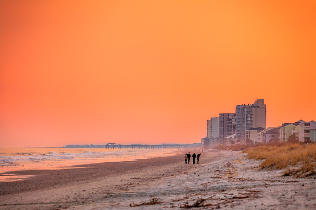
Orange Myrtle Beach

Early start to the day

Sea Oats
Dawn at the Beach

B&W Beach

"John's Sunrise"

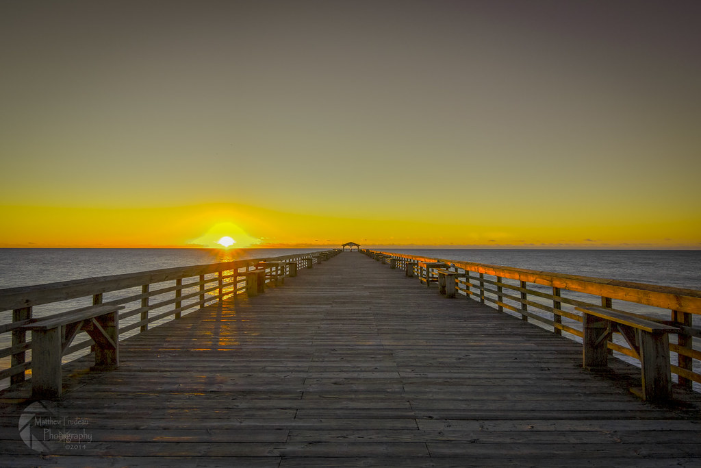
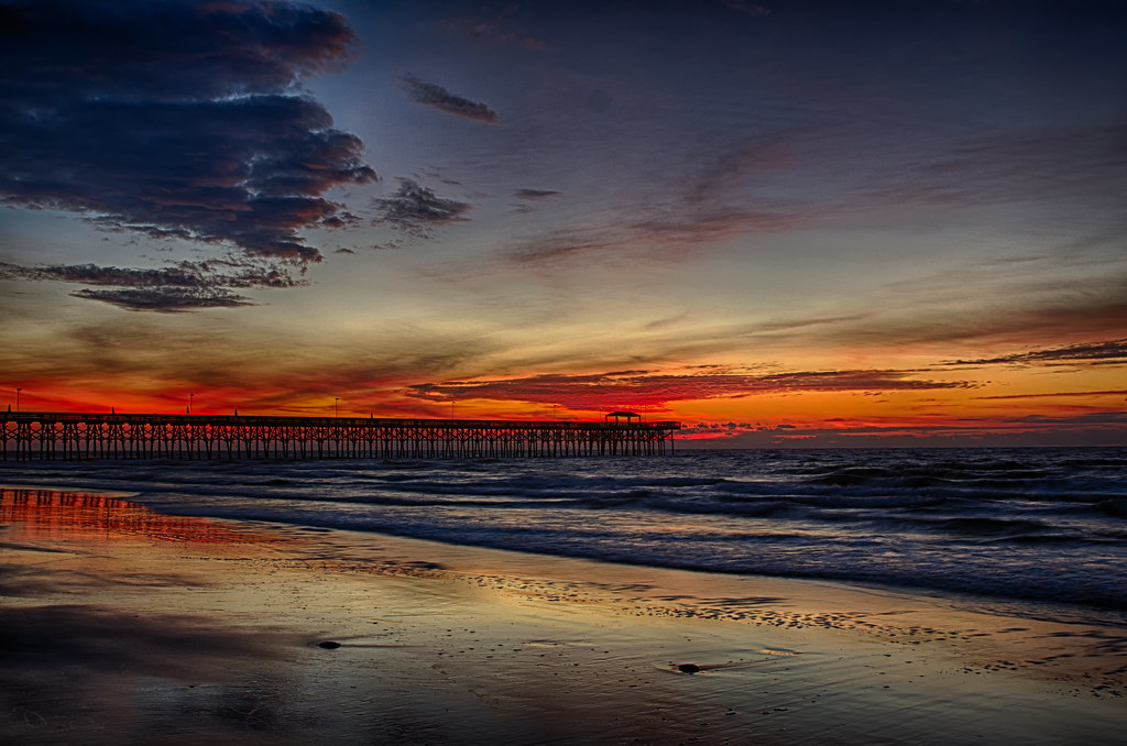
Sunrise at the Pier
_DSC1551 copy

Happy Fourth of July!
Topographic Map of Luttie Rd, Myrtle Beach, SC, USA
Find elevation by address:

Places near Luttie Rd, Myrtle Beach, SC, USA:
401 Luttie Rd
403 Luttie Rd
403 Luttie Rd
410 Luttie Rd
542 Oak Cir Dr
1013 Gavin Ct
4232 Socastee Blvd
1205 Peyton Ct
297 Foxpath Loop
700 Ruth Dr
702 Luttie Rd
305 Rung Rd
155 Folly Rd
1401 Reid Ct
710 Luttie Rd
1405 Reid Ct
409 Foxbrook Dr
256 Colby Ct
164 Governors Loop
1505 Riley Ct
Recent Searches:
- Elevation of SW 57th Ave, Portland, OR, USA
- Elevation of Crocker Dr, Vacaville, CA, USA
- Elevation of Pu Ngaol Community Meeting Hall, HWHM+3X7, Krong Saen Monourom, Cambodia
- Elevation of Royal Ontario Museum, Queens Park, Toronto, ON M5S 2C6, Canada
- Elevation of Groblershoop, South Africa
- Elevation of Power Generation Enterprises | Industrial Diesel Generators, Oak Ave, Canyon Country, CA, USA
- Elevation of Chesaw Rd, Oroville, WA, USA
- Elevation of N, Mt Pleasant, UT, USA
- Elevation of 6 Rue Jules Ferry, Beausoleil, France
- Elevation of Sattva Horizon, 4JC6+G9P, Vinayak Nagar, Kattigenahalli, Bengaluru, Karnataka, India