Elevation of Lutilhous, France
Location: France > Hautes-pyrénées >
Longitude: 0.329552
Latitude: 43.1306439
Elevation: 577m / 1893feet
Barometric Pressure: 95KPa
Elevation Map:
Satellite Map:
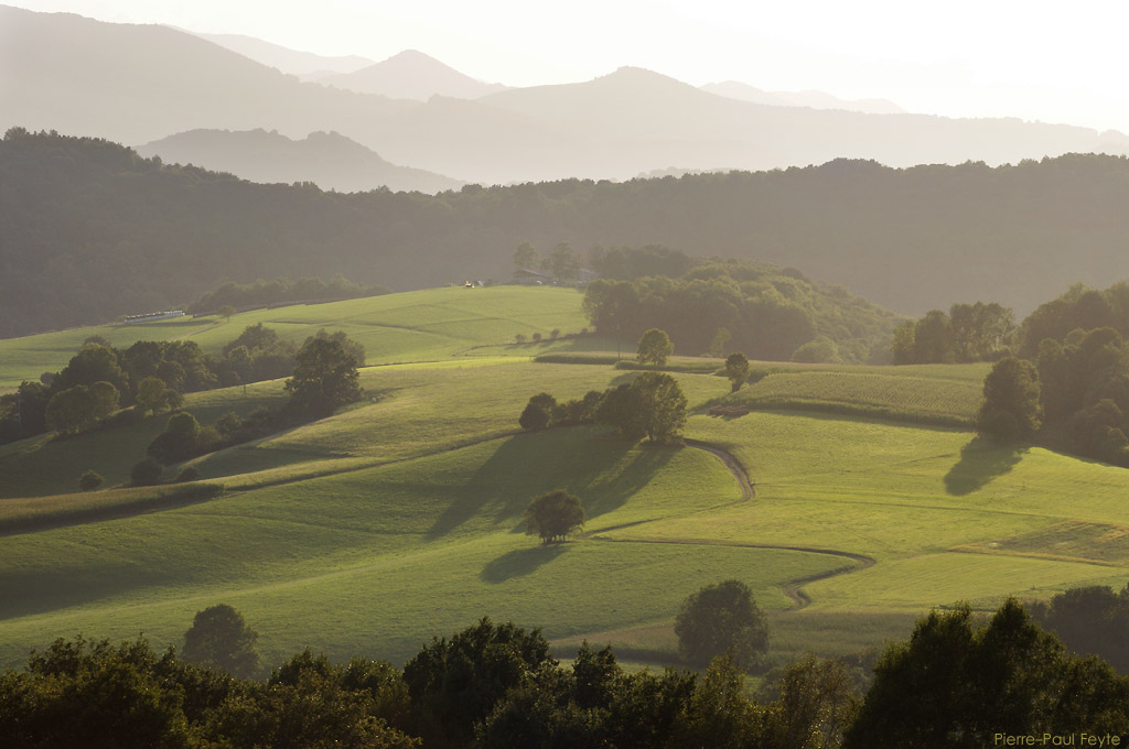
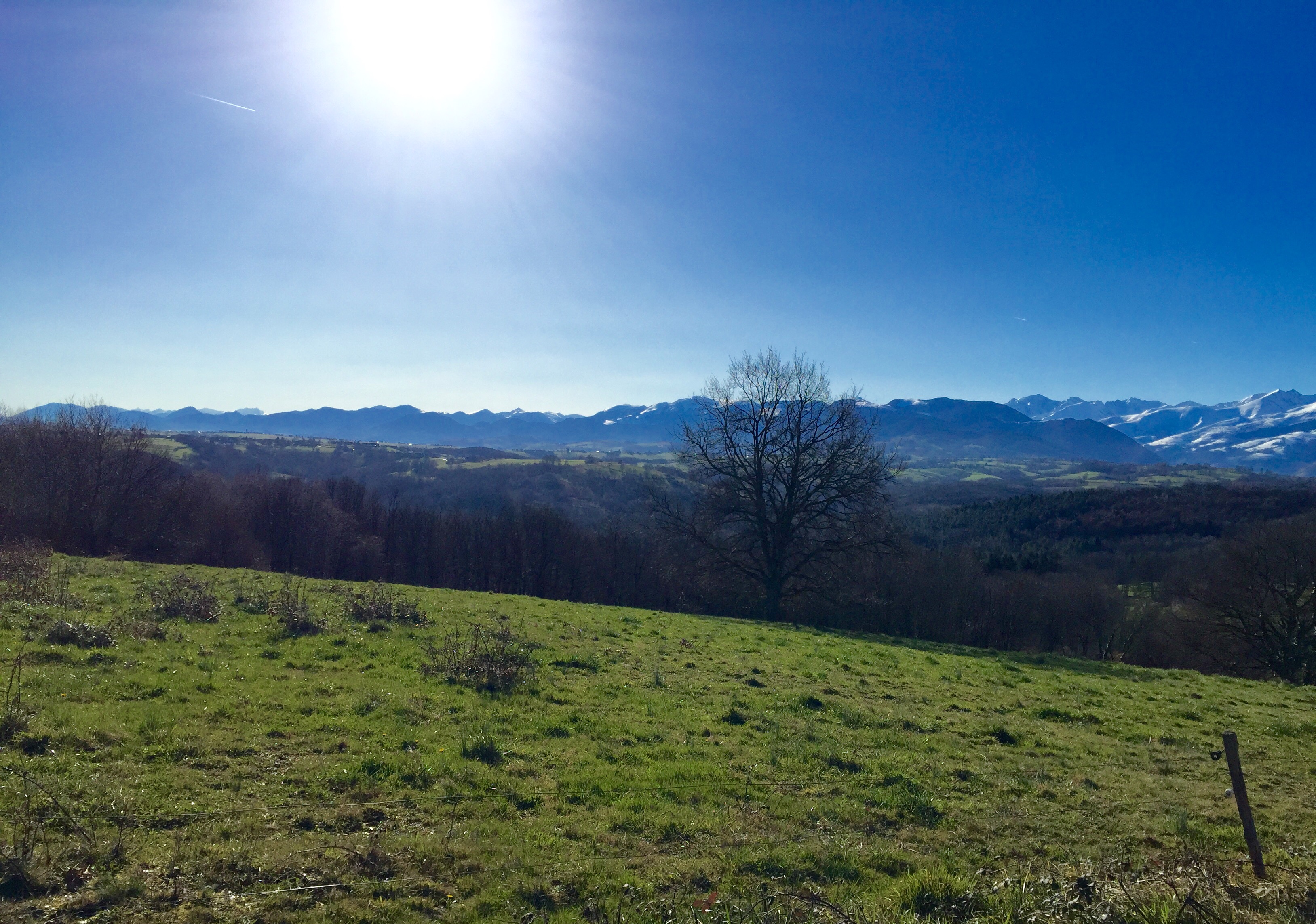
Related Photos:

PYRENEES 11 Lac de l'Arrêt Darré avec vue sur les Pyrénées
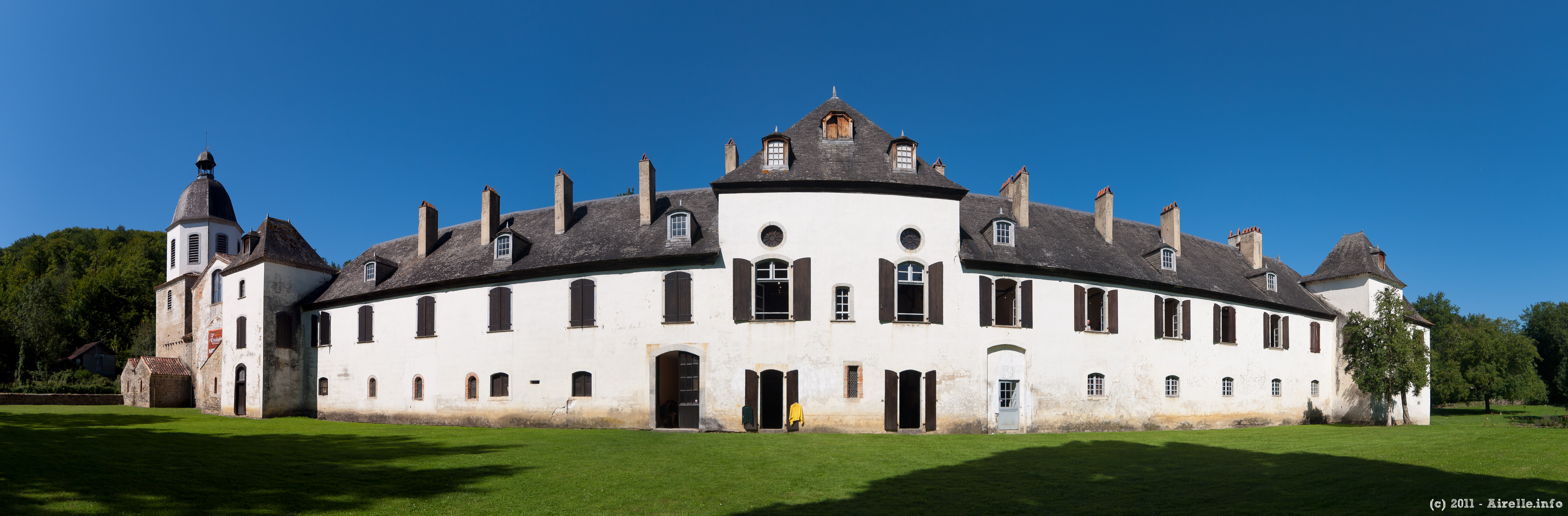
Abbaye de l'Escaladieu

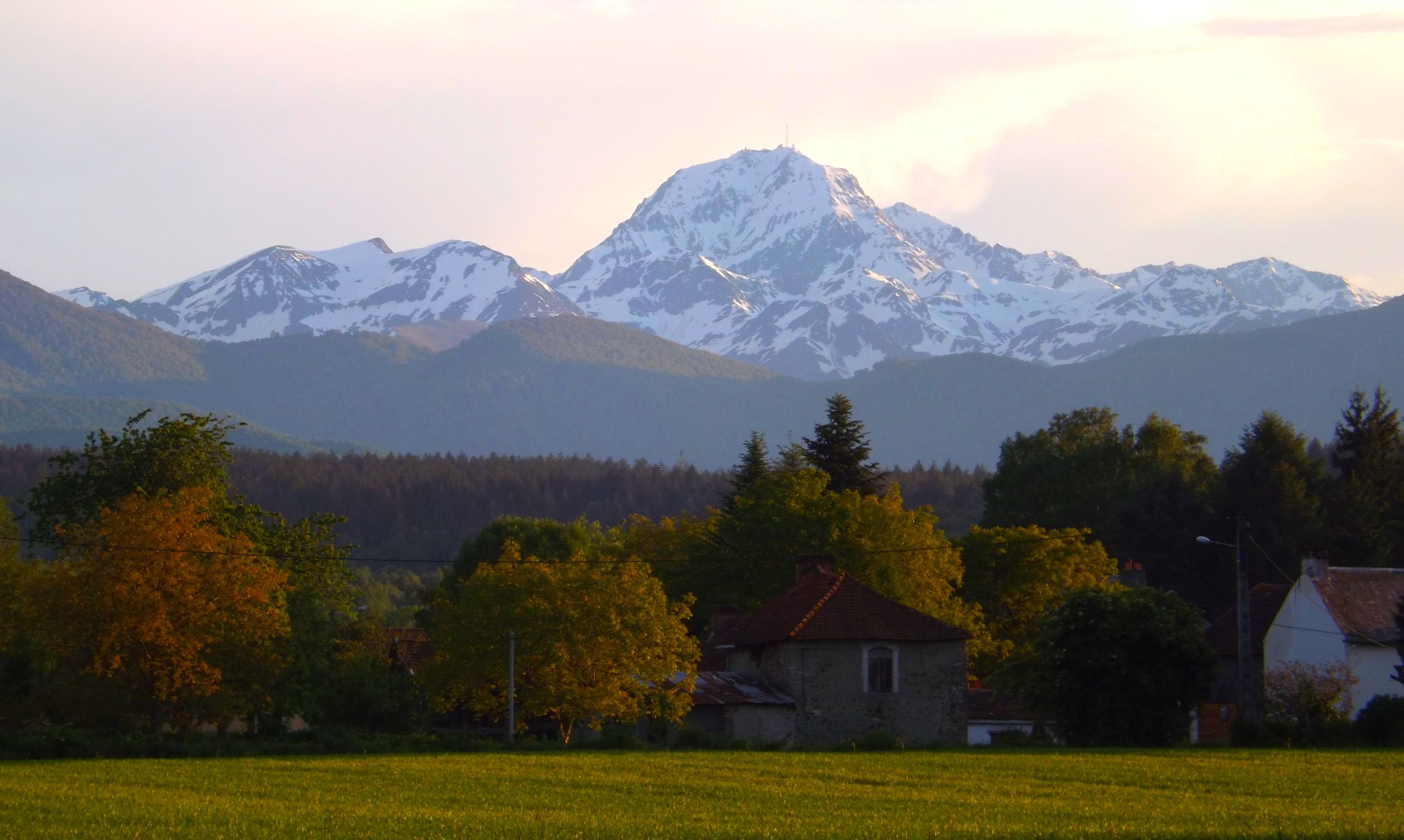
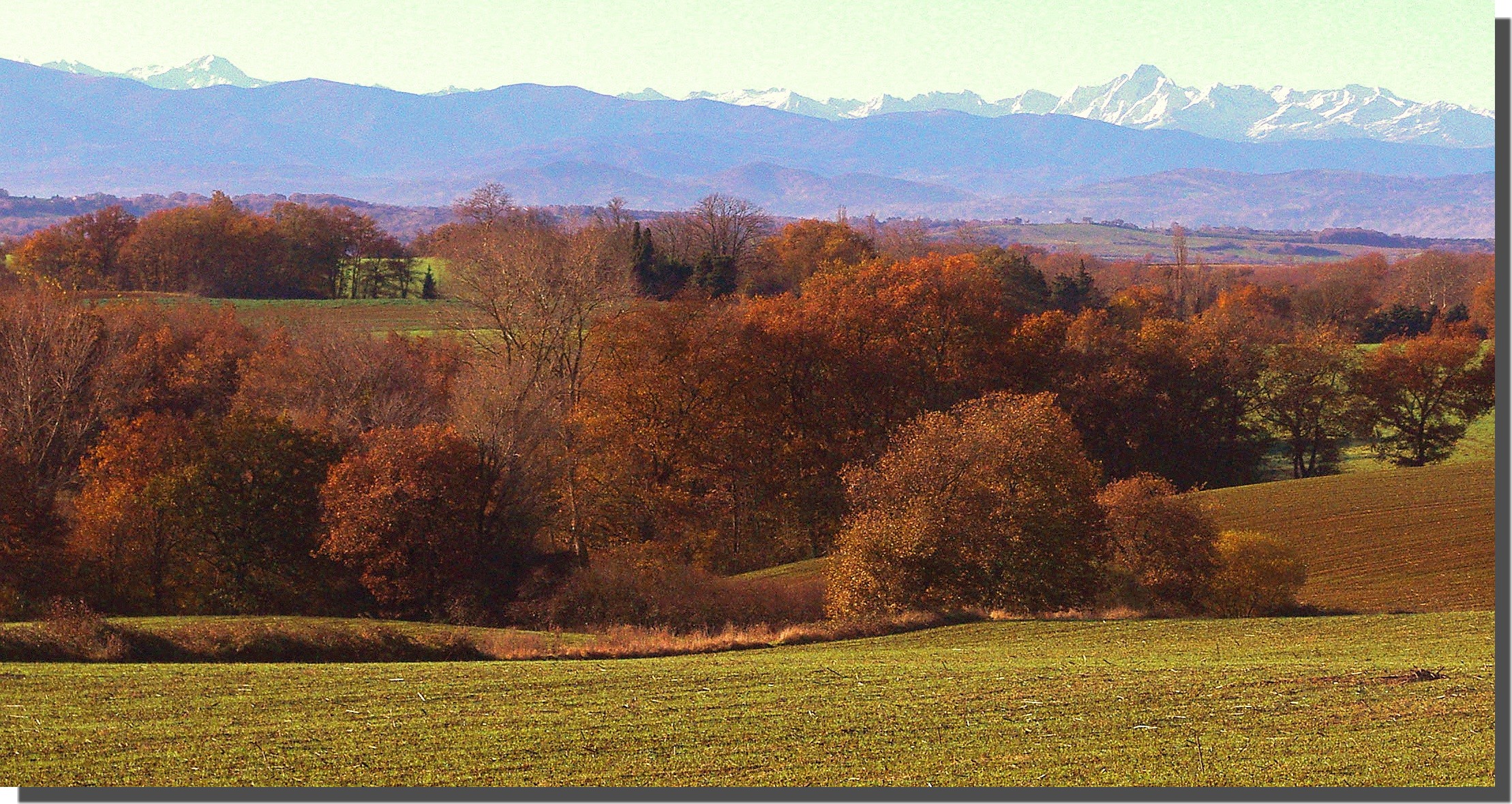
Somewhere on a rolling hill between Lies and Bagnères-de-Bigorre on the Hautes-Pyrenees. View of fields and mountain peaks, of which Pic du Midi is covered in clouds. #France #travelfrance #pyrenees #pyrenees #euro_shot #instagood #instalike #instatrav
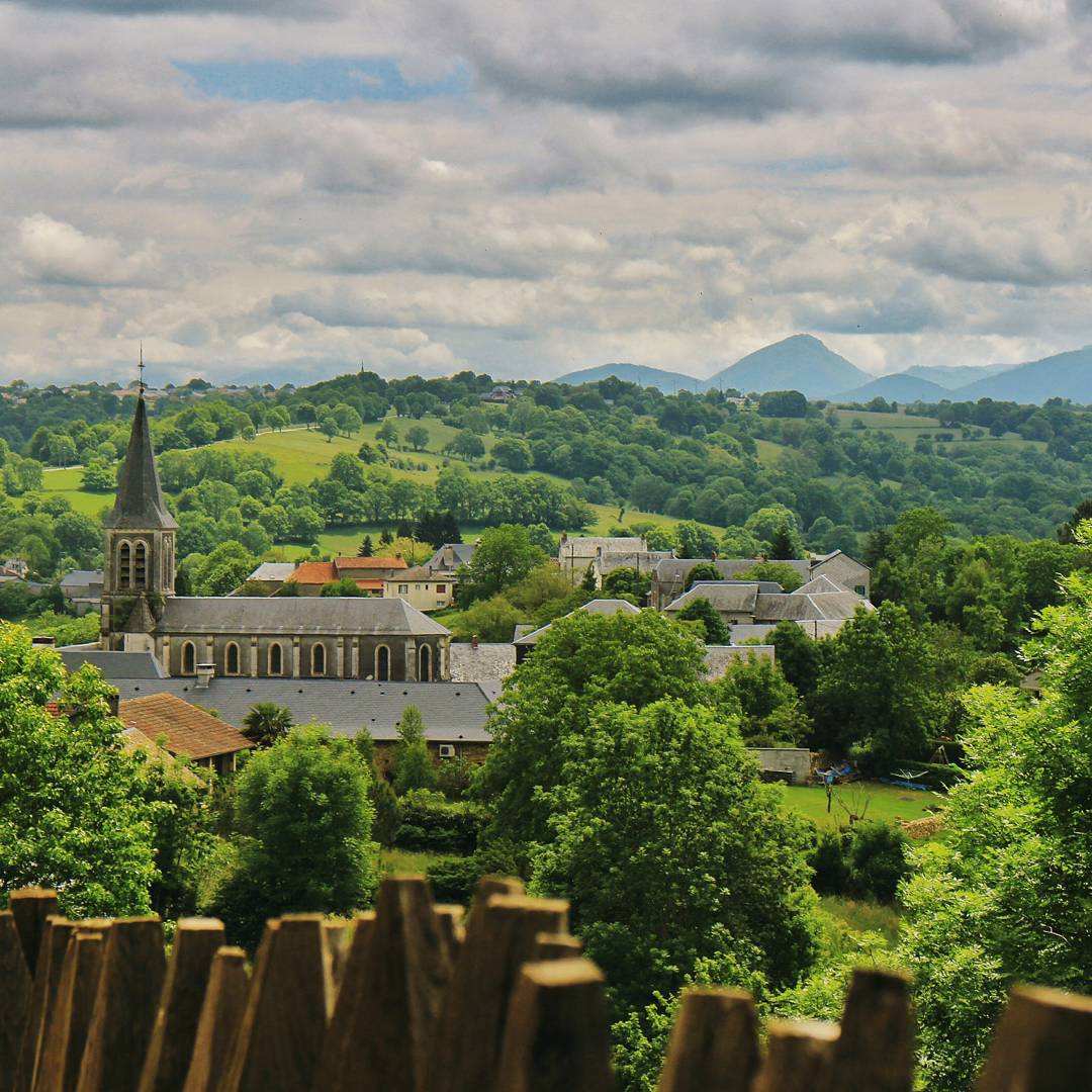
View of the village by the Château de Mauvezin. After the Wars of Religion in the late 1500s, when the castle crumbled, majority of the stones were taken apart to build other buildings in the village. Each stone from the Middle Ages still in existence to
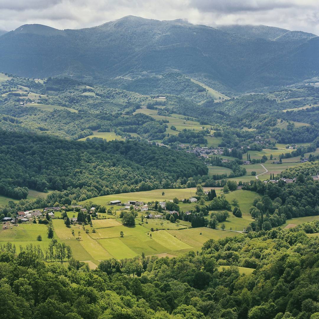
One of the many pretty views from the top of Château de Mauvezin. Castles are almost always built at the peak of a hill/mountain, a spot that makes enemies swear in exhaustion when climbing up to attack. I'm thankful we climbed up the mountain on 4 wheels
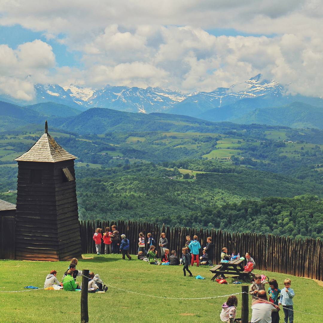
French kindergarten kids playing at the garden before their tour to the castle, with the view of the Pyrenees in the background. If I were one of them, I'd never want to grow up. I'd want to play at this garden all my life and enjoy the peace, quiet and b
La Gourgue d'Asque
La Gourgue d'Asque
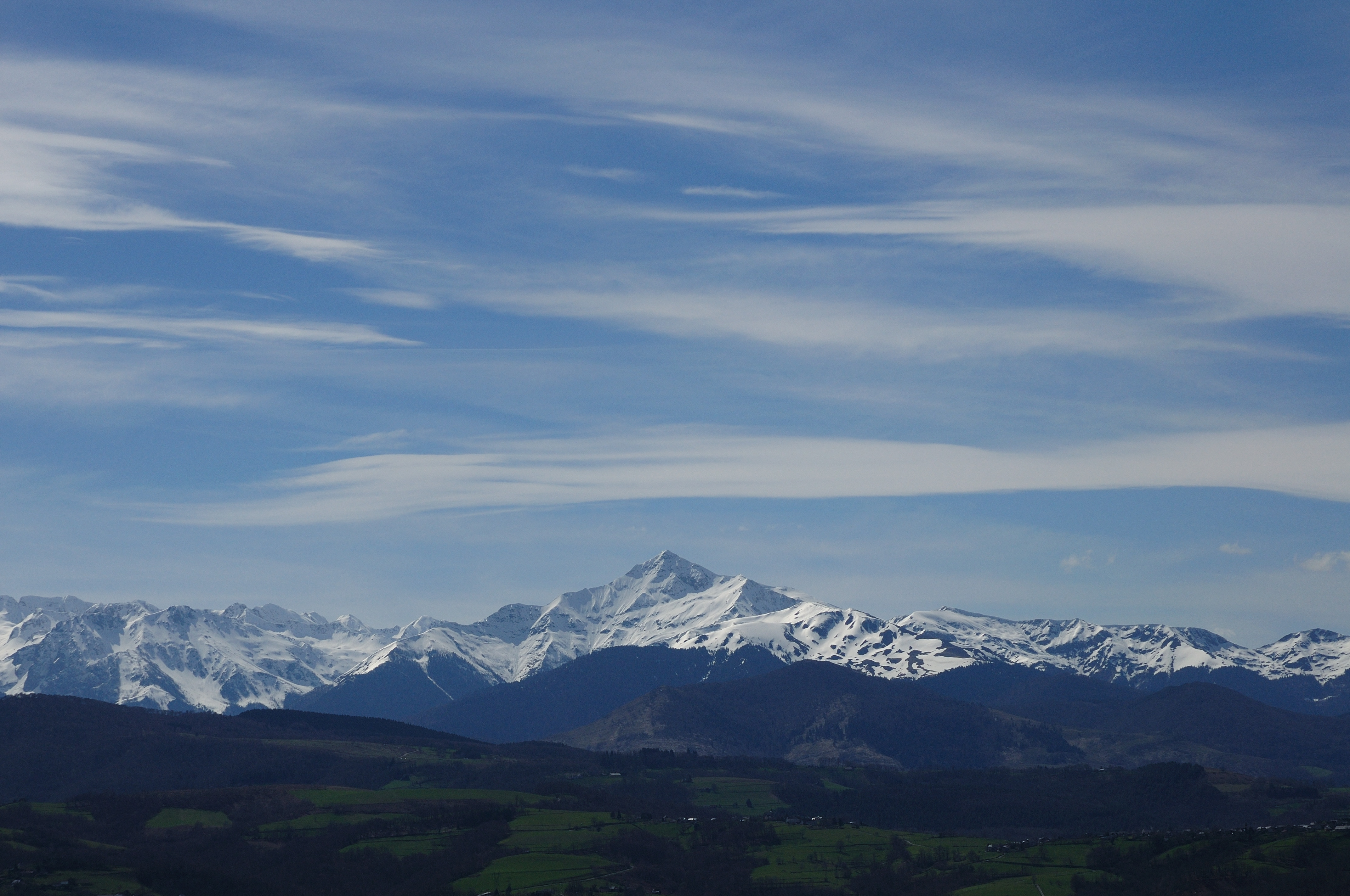
Last snow in the Pyrénées...
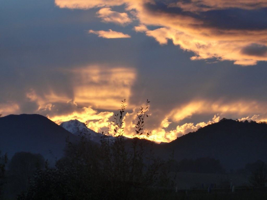
Image 3
Pyrénées EL PADRE picture. Pic du Montaigu.
Lortet, Hautes Pyrénées, paysage des Quatres vallées
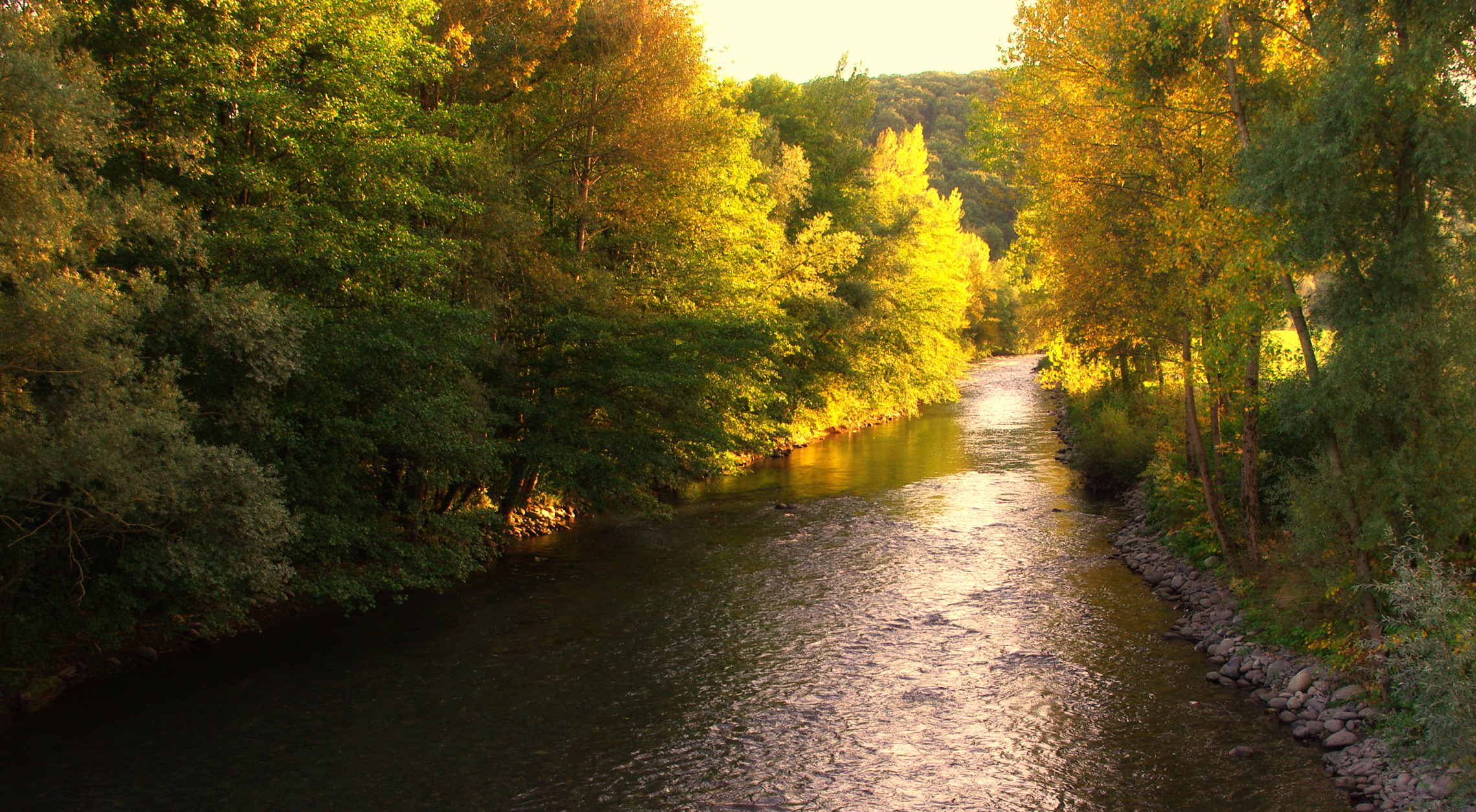
La Neste d'Aure à La Barthe. (Hautes Pyrénées, France).
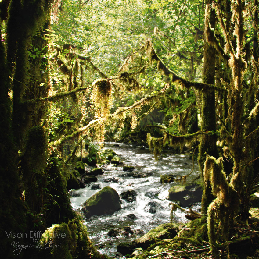
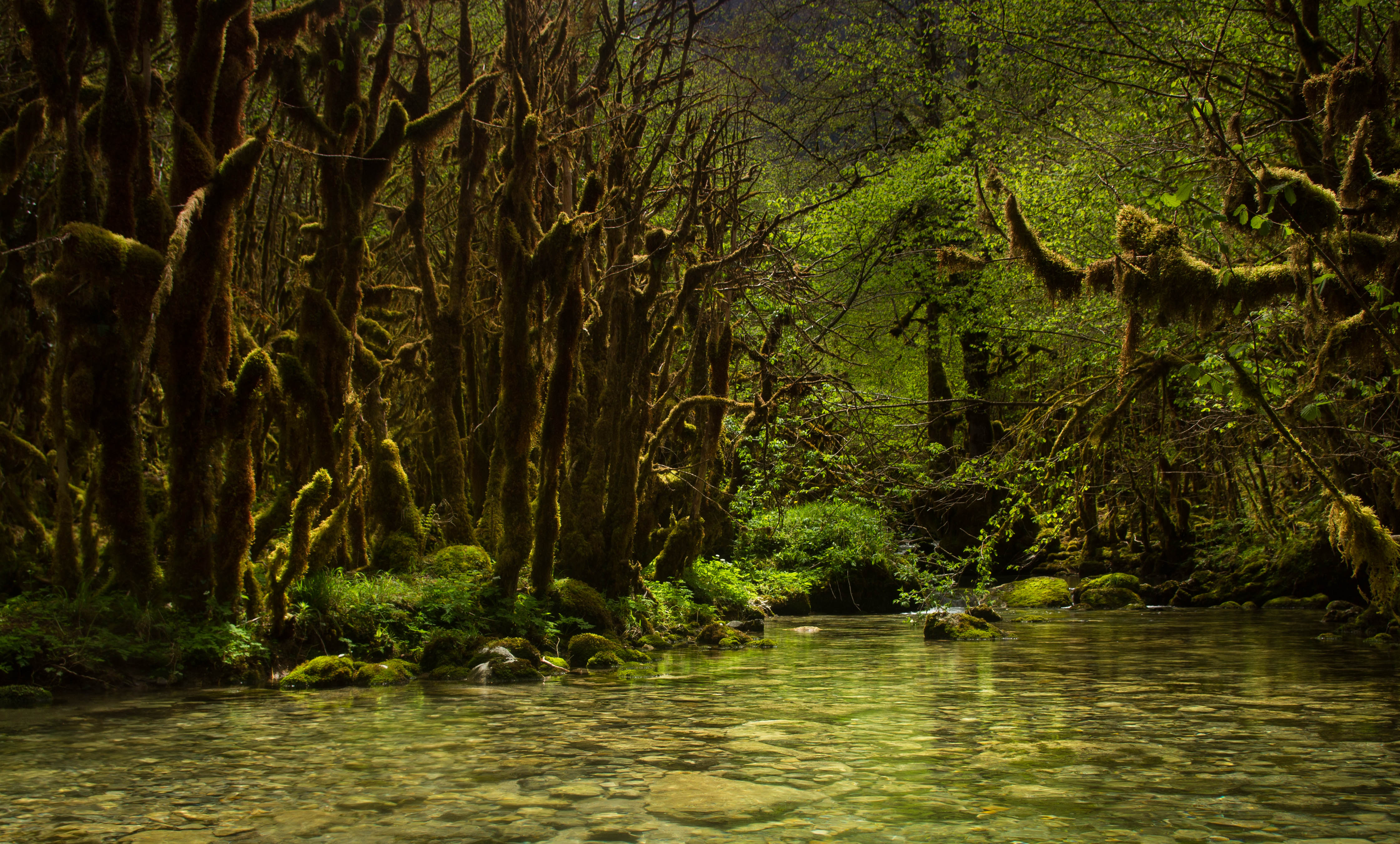
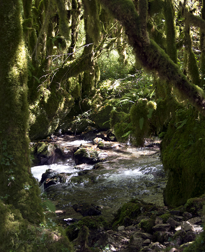
Through the moss

Vue du château de Mauvezin (Htes-Pyrénées), dimanche 21 juin 2015
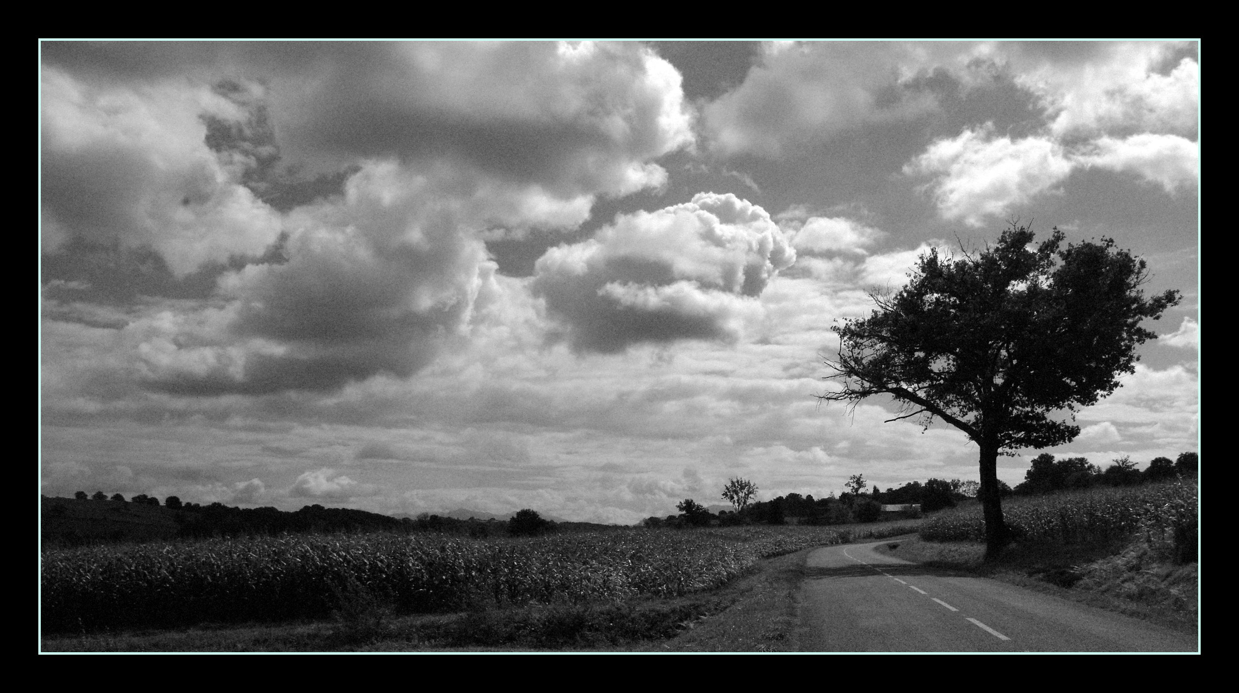
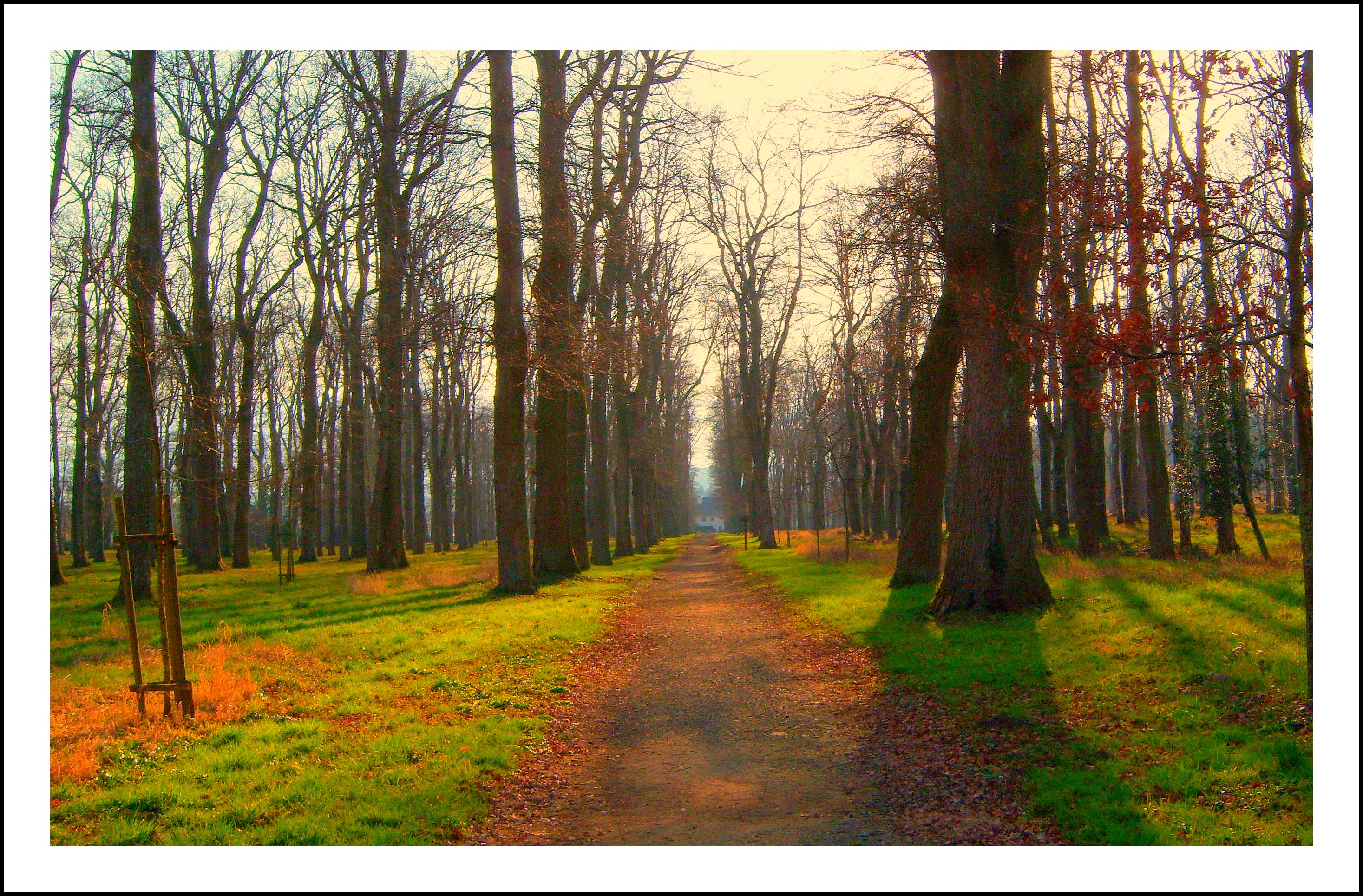
La petite départementale...
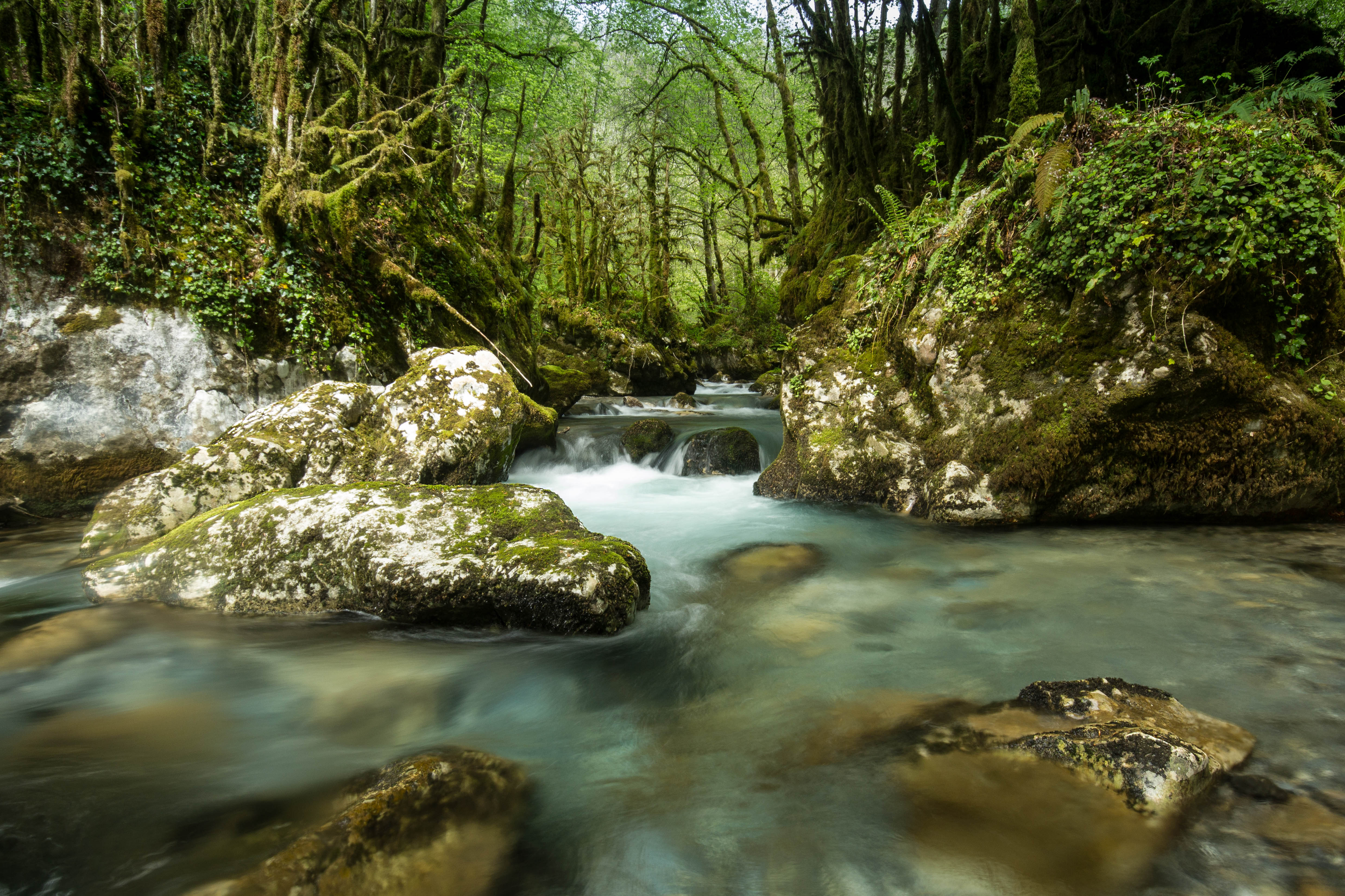
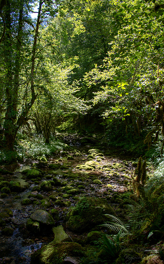
Amazing 'Little french Amazonia'
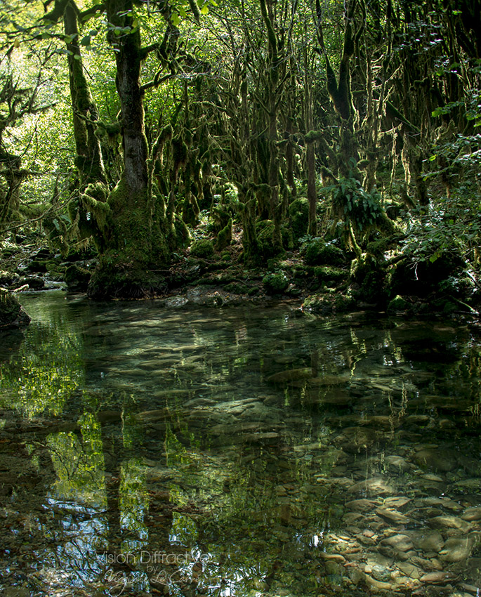
Like Mononoke landscape
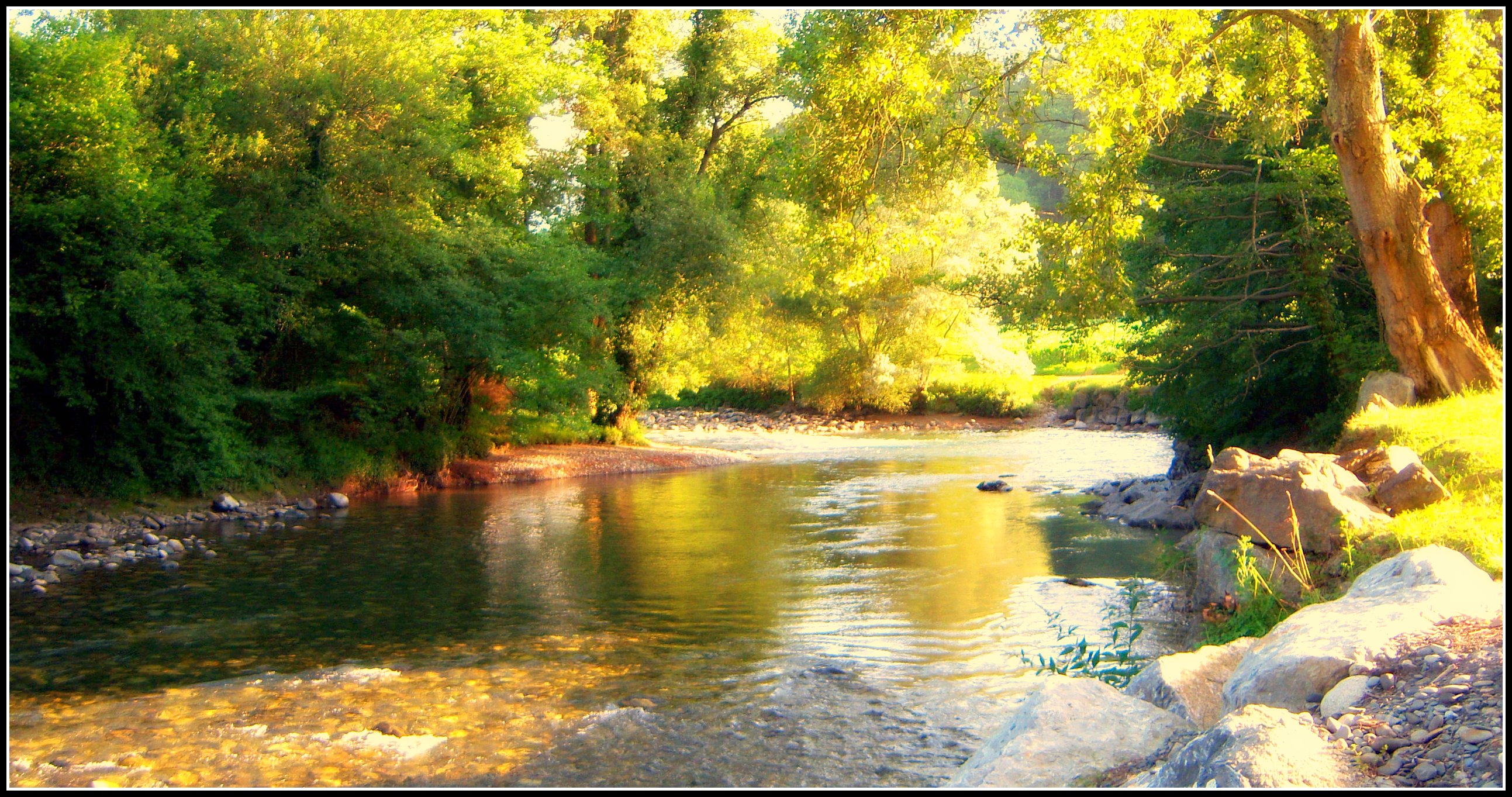
La Neste d' Aure (Hautes Pyrénées).
La Barthe de Neste, sentier des Plantades.
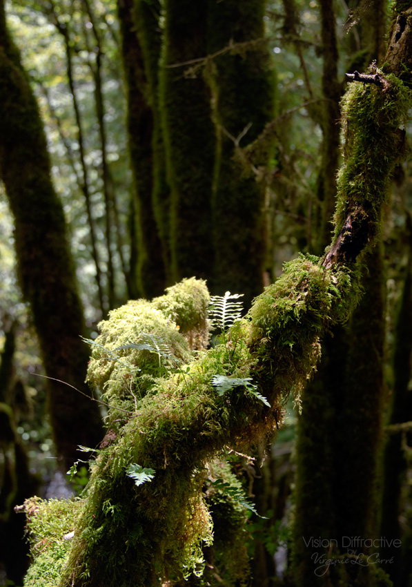
Moss & fern on tree
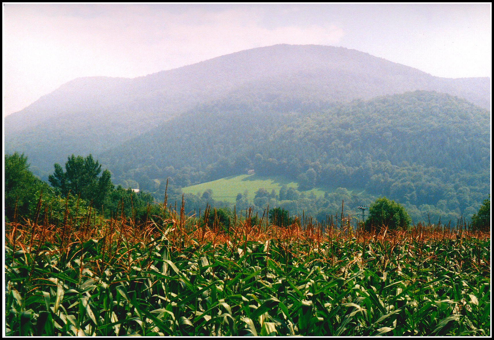
Le piémont pyrénéen (France).
Green path
Such a small lovely world
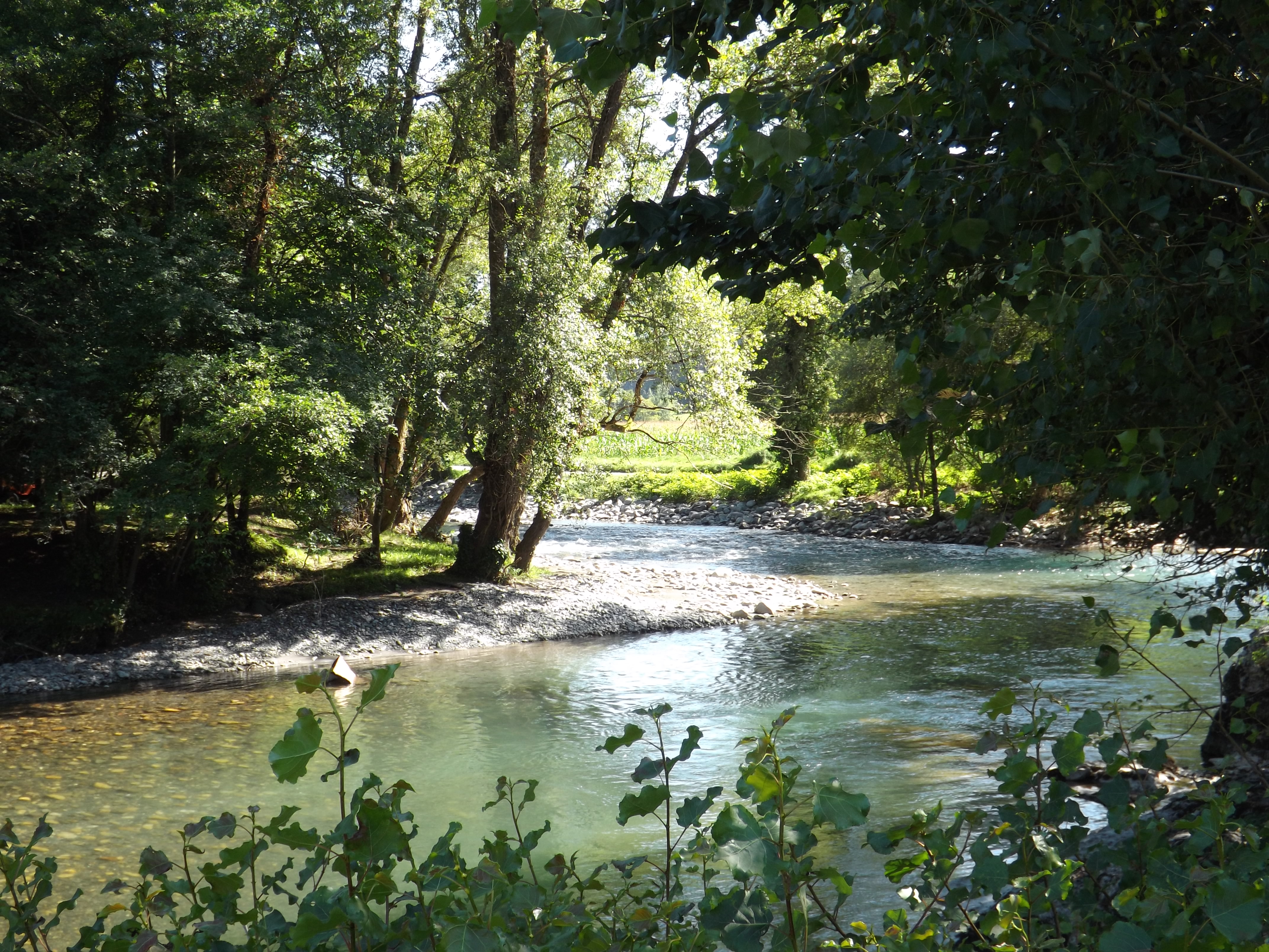
La Neste d'Aure à son étiage d'été...
Vielle Adour : le sentier de l'Alaric
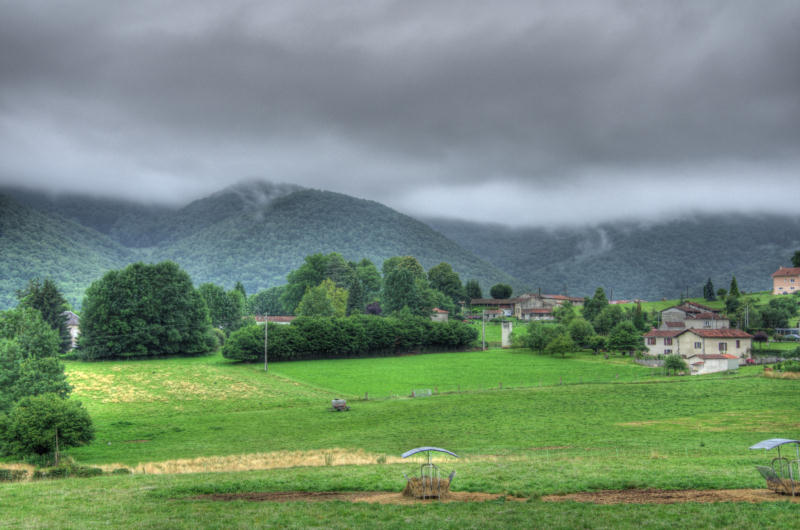
IMGP6698_699_700 HDR Bize
Topographic Map of Lutilhous, France
Find elevation by address:

Places in Lutilhous, France:
Places near Lutilhous, France:
81 Chemin de la Palisse, Lutilhous, France
61 Chemin de la Serre, Mauvezin, France
Mauvezin
27 Cami de Palouma, Avezac-Prat-Lahitte, France
Avezac-prat-lahitte
Ricaud
1 La Cazalere, Ricaud, France
Tournay
6 Lartigue, Clarac, France
Clarac
13 Route de la Coume, Mérilheu, France
Mérilheu
Orignac
19 Cami Deth Casteriou, Orignac, France
13 Rue des Pyrénées, Momères, France
Momères
Arbizon
Tarbes
Odos
Hospital Center De Bigorre
Recent Searches:
- Elevation of Gateway Blvd SE, Canton, OH, USA
- Elevation of East W.T. Harris Boulevard, E W.T. Harris Blvd, Charlotte, NC, USA
- Elevation of West Sugar Creek, Charlotte, NC, USA
- Elevation of Wayland, NY, USA
- Elevation of Steadfast Ct, Daphne, AL, USA
- Elevation of Lagasgasan, X+CQH, Tiaong, Quezon, Philippines
- Elevation of Rojo Ct, Atascadero, CA, USA
- Elevation of Flagstaff Drive, Flagstaff Dr, North Carolina, USA
- Elevation of Avery Ln, Lakeland, FL, USA
- Elevation of Woolwine, VA, USA