Elevation of Lusaka, Zambia
Location: Zambia > Lusaka Province >
Longitude: 28.3461948
Latitude: -15.448042
Elevation: 1293m / 4242feet
Barometric Pressure: 87KPa
Elevation Map:
Satellite Map:
Related Photos:
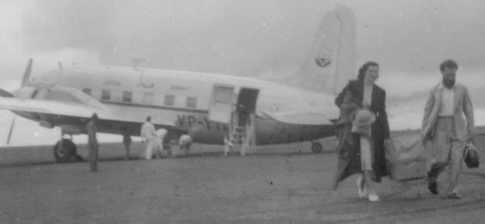
1950 Kasama landing: CAA Vickers Viking (possibly VP-YIE)
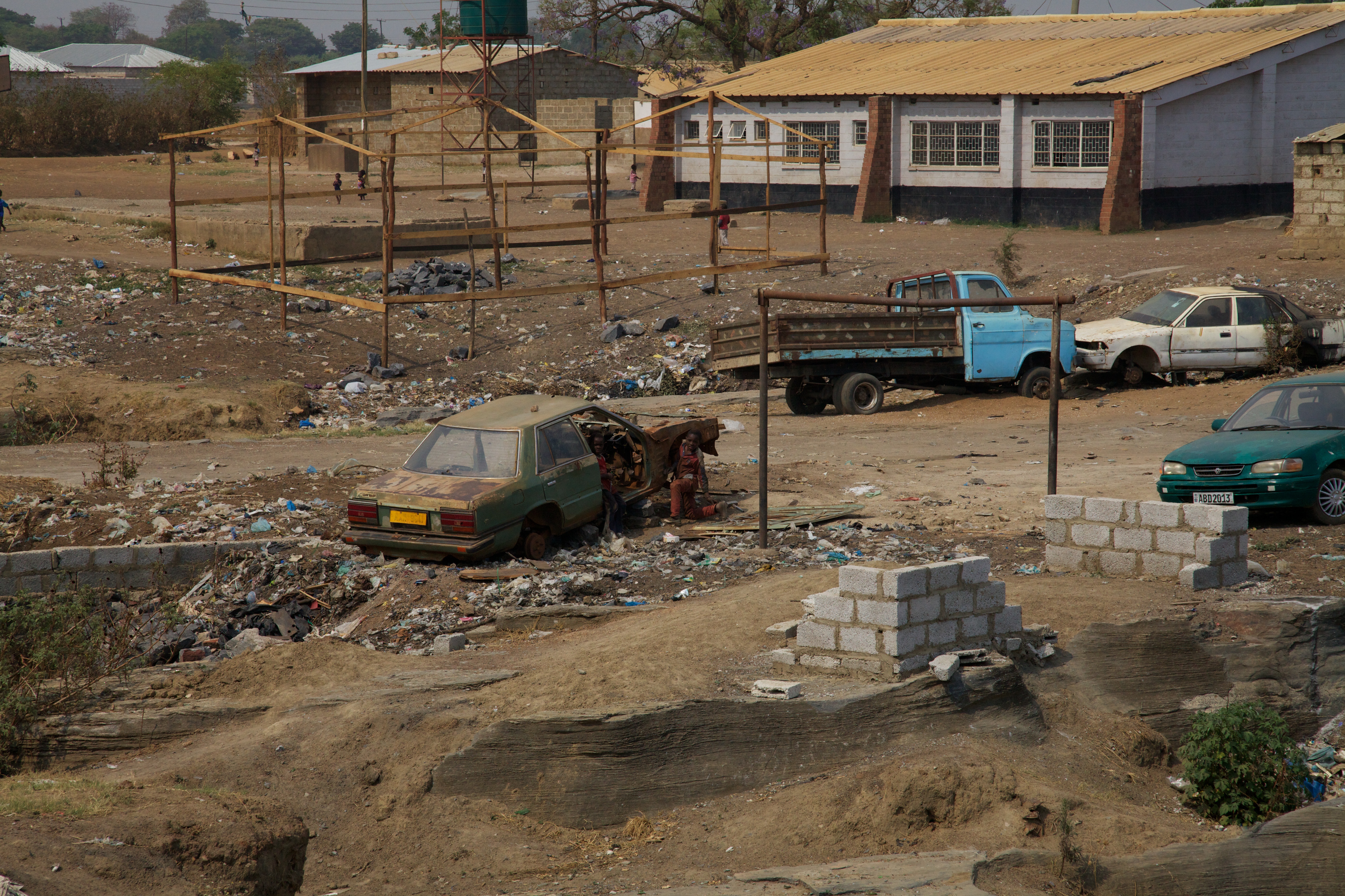
Frame house and automotive repair

Page 66
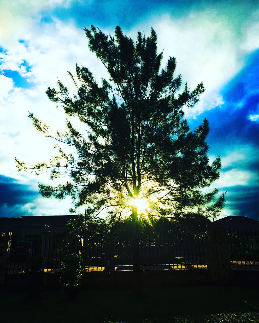
#366daysofprogress do you notice the tree OR the sun? perspective shapes what you see as the bigger (more meaningful) object in your view #day101 #perspective

4Y1A0712 Zambia

South Luangwa, Zambia

Effettivamente anche oggi la #stagionedellepiogge si è proprio fatta sentire! #luoghicomuni #africa #africawildtruck #iphoneography

Kenneth Kaunda International Airport #Zambia

Heading north

Week 5: Black & White (Landscape)
Topographic Map of Lusaka, Zambia
Find elevation by address:

Places in Lusaka, Zambia:
Places near Lusaka, Zambia:
Woodlands
Mutende Road
Chipongwe Road
Lusaka
Roma
Ngwezi Road
Lusaka Province
Kabwe
Natuseko Primary School
Kabwe
Central Province
Recent Searches:
- Elevation of N 82nd Pl, Mesa, AZ, USA
- Elevation of Snake Hill Rd, North Scituate, RI, USA
- Elevation of Lake Shore Dr, Warwick, RI, USA
- Elevation of E Brightview Ave, Pittsburgh, PA, USA
- Elevation of Cavendish Rd, Harringay Ladder, London N4 1RR, UK
- Elevation of 1 Zion Park Blvd, Springdale, UT, USA
- Elevation of Ganderbal
- Elevation map of Konkan Division, Maharashtra, India
- Elevation of Netaji Nagar, Hallow Pul, Kurla, Mumbai, Maharashtra, India
- Elevation of Uralsk, Kazakhstan