Elevation of Luis F. Tagle, Monte Cristo, Córdoba, Argentina
Location: Argentina > Cordoba >
Longitude: -63.94705
Latitude: -31.343927
Elevation: 348m / 1142feet
Barometric Pressure: 97KPa
Elevation Map:
Satellite Map:
Related Photos:

View from inside a car bottling factory "Coca-Cola" in the city of Córdoba, Argentina.

COMADREJA II .

Mariposa II en invierno

'' ROSA & ROSA ''

'' TARDE TORMENTOSA ''

Travelling towards the sun...
Caminar a casa

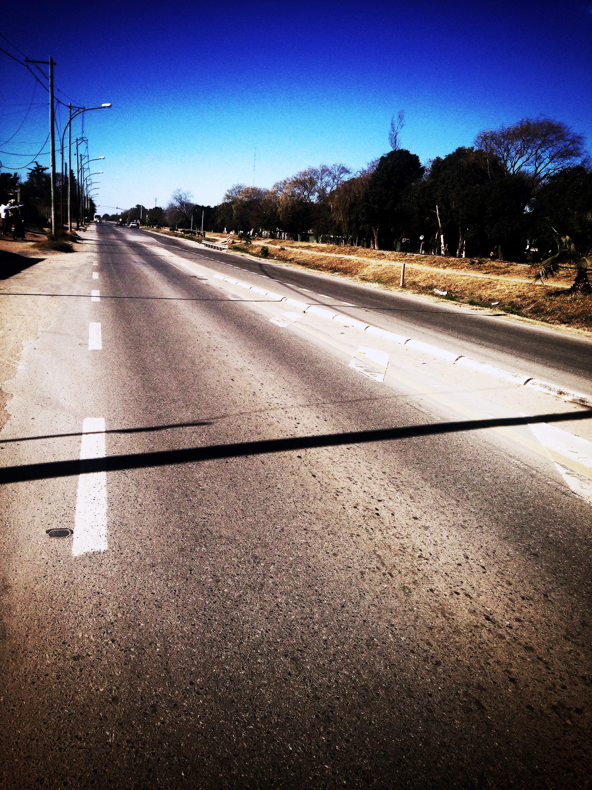
En el camino
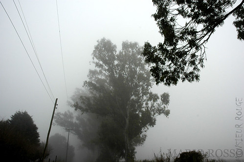
Neblina en el campo
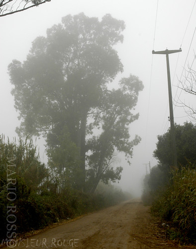
Neblina en el campo
Topographic Map of Luis F. Tagle, Monte Cristo, Córdoba, Argentina
Find elevation by address:

Places near Luis F. Tagle, Monte Cristo, Córdoba, Argentina:
Querini, Córdoba, Argentina
El Quebracho, Córdoba, Argentina
Jujuy, XKBB Córdoba, Argentina
Córdoba
Mariano Fragueiro 11
Ingeniero Aeronáutico Ambrosio L.v. Taravella International Airport
Cordoba
Capital Department
Monseñor Ferreyra, Córdoba, Argentina
Colón Department
Villa Allende
Cumbres Park
Rio Ceballos
Colón, Río Ceballos, Córdoba, Argentina
Calle Observatorio
El Manzano
Santa María Department
RN38, Córdoba, Argentina
Villa Carlos Paz
RP10, Matorrales, Córdoba, Argentina
Recent Searches:
- Elevation of Vista Blvd, Sparks, NV, USA
- Elevation of 15th Ave SE, St. Petersburg, FL, USA
- Elevation of Beall Road, Beall Rd, Florida, USA
- Elevation of Leguwa, Nepal
- Elevation of County Rd, Enterprise, AL, USA
- Elevation of Kolchuginsky District, Vladimir Oblast, Russia
- Elevation of Shustino, Vladimir Oblast, Russia
- Elevation of Lampiasi St, Sarasota, FL, USA
- Elevation of Elwyn Dr, Roanoke Rapids, NC, USA
- Elevation of Congressional Dr, Stevensville, MD, USA