Elevation of Ludwig Dr, Bayfield, CO, USA
Location: United States > Colorado > Bayfield >
Longitude: -107.61354
Latitude: 37.31017
Elevation: 2225m / 7300feet
Barometric Pressure: 77KPa
Elevation Map:
Satellite Map:
Related Photos:
View from the Deck
Ready to Fly

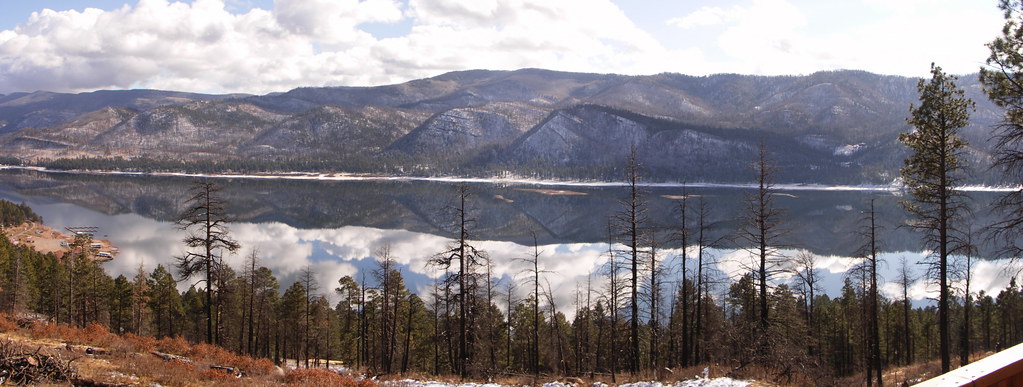
Vallecito Resevoir

Vallecito Resevoir
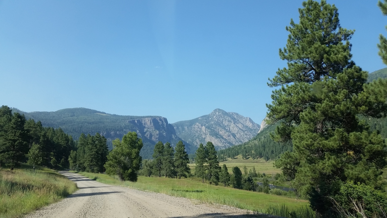
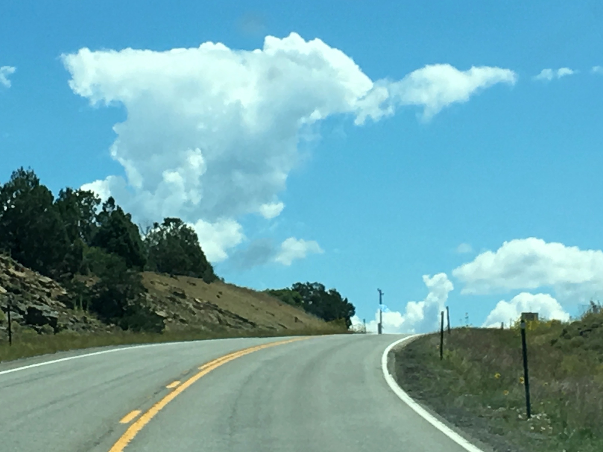
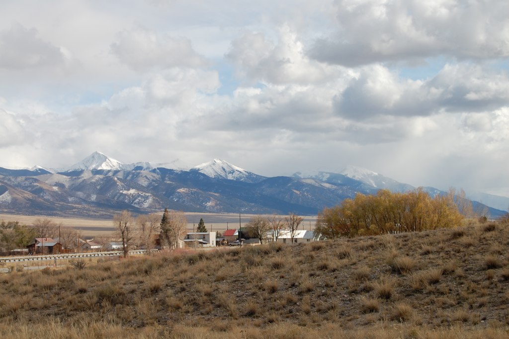
5844 View from Route 501 of the Pine River Valley as I drive the car back to the Pine River Campground
The view from the cabin
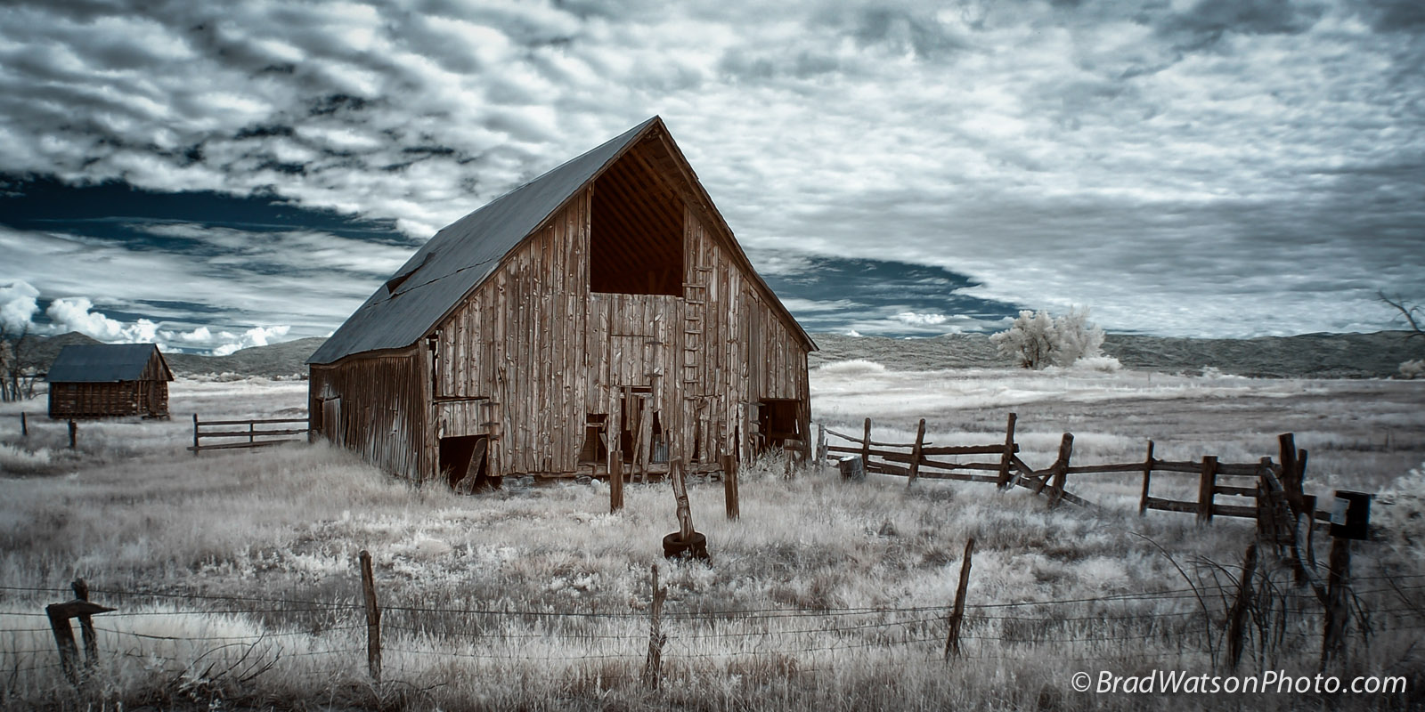
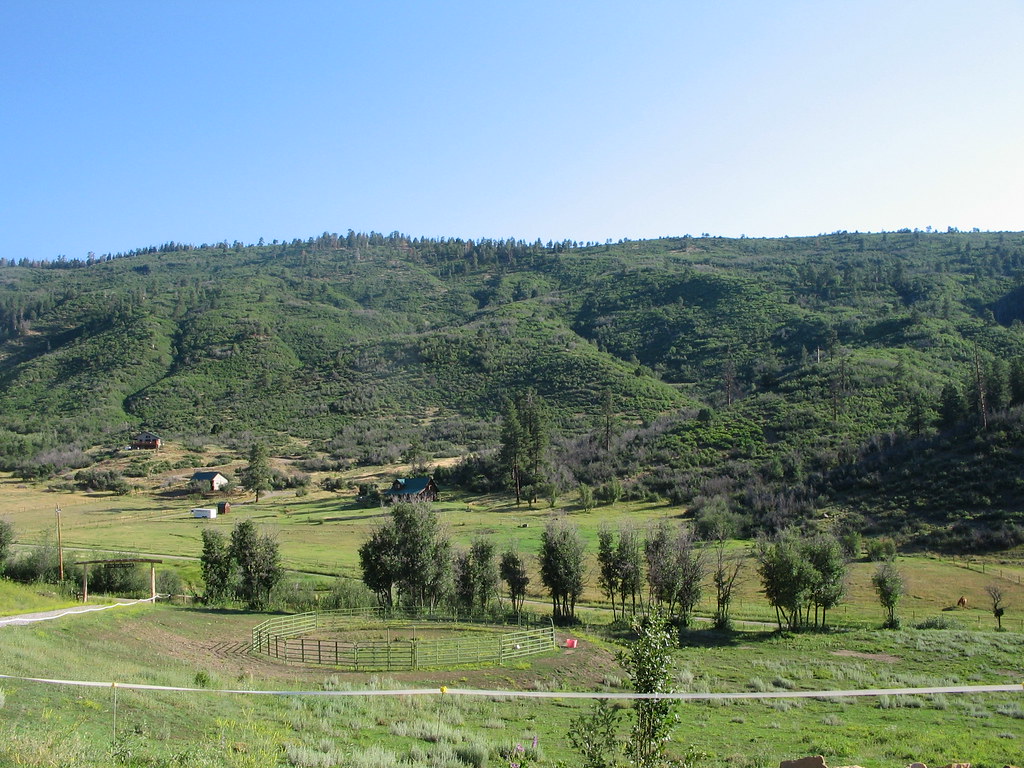
Bayfield Barn
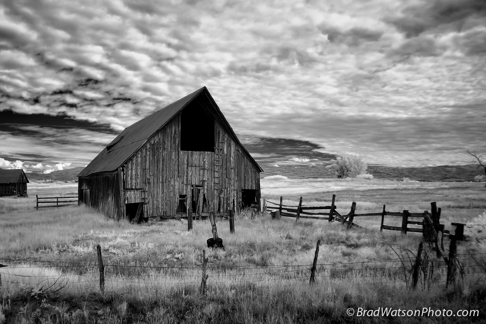
Bayfield Barn

Morning Descends, II

Meadow in snow
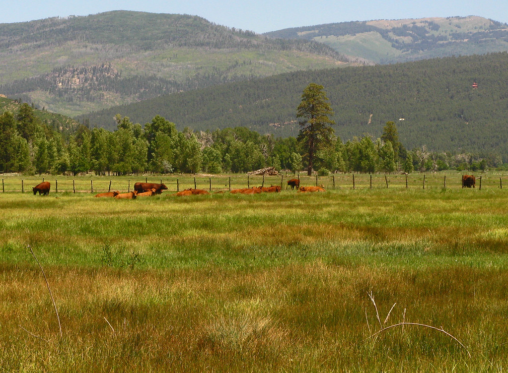
Red Angus: River Ranch: North of Bayfield, Colorado (CO)
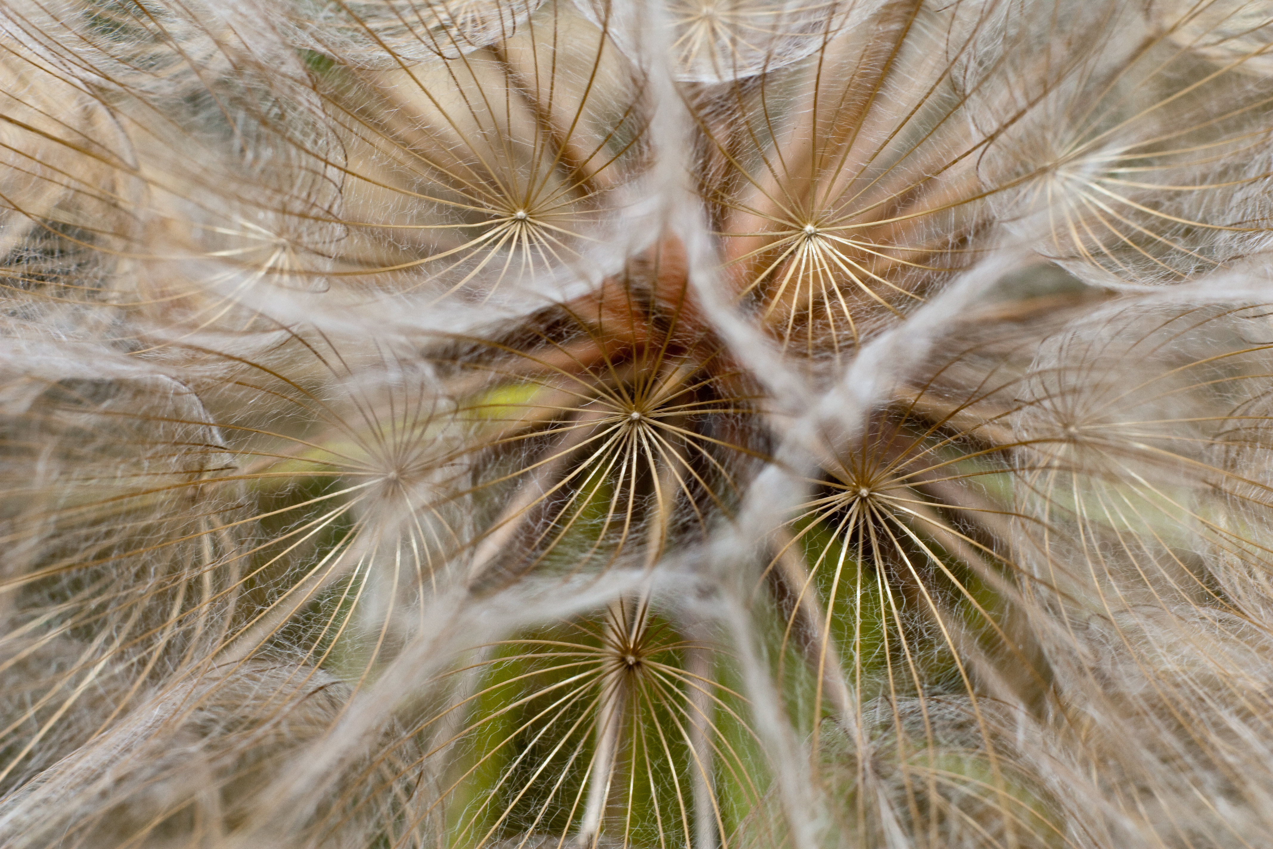
Lurching Cloud Dragon
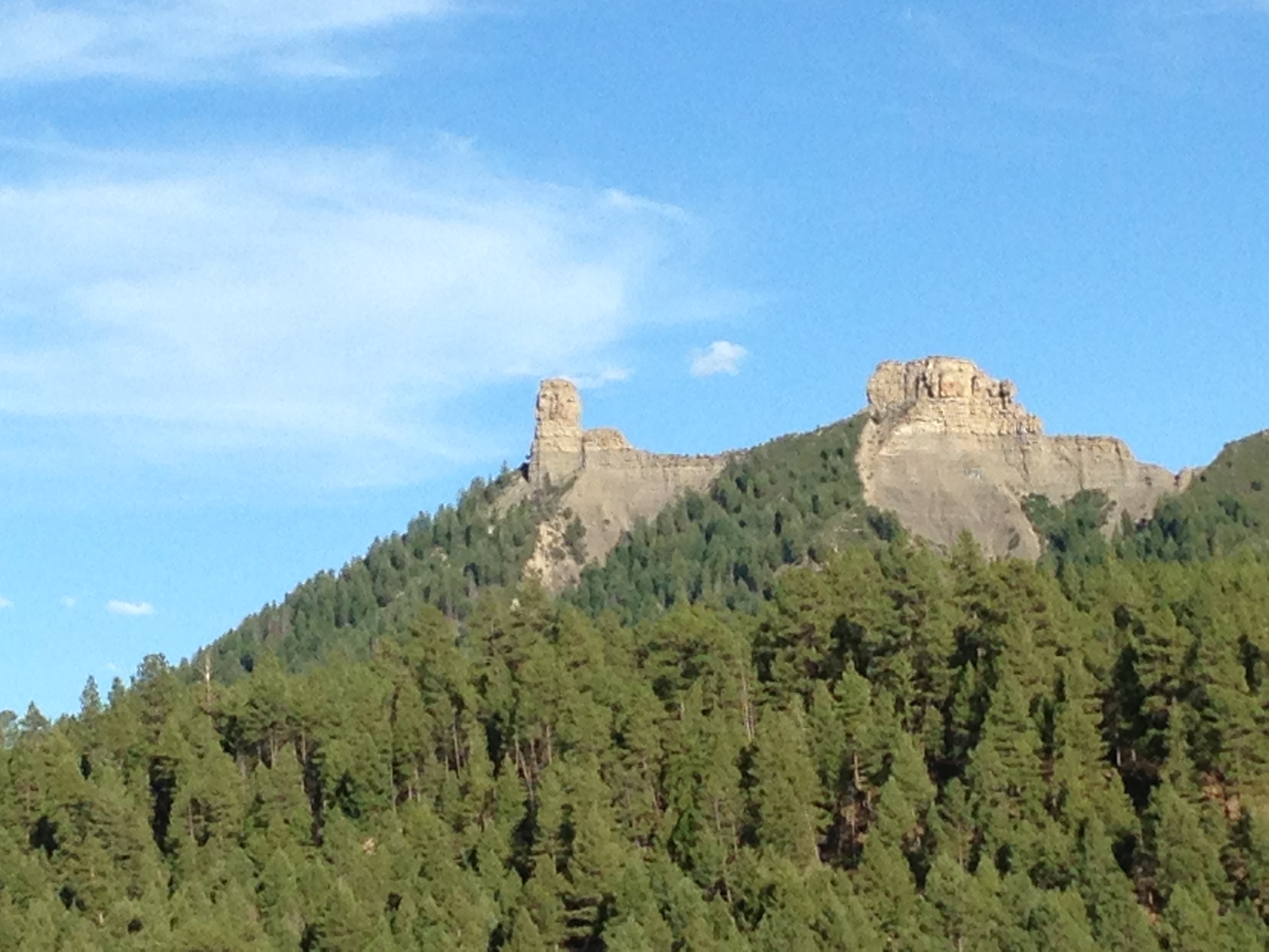
Pine River Valley
Sheep on a country road

Sunset out in the sticks
Mesa Verde Trip-3

P1010779.jpg

P1010780.jpg

2615 Sunrise over Vallecito Reservoir with Irving Peak (13218 feet elevation) and a fisherman in a boat

Mesa Verde Trip-2

Lakeside Campfire
FourCorners 061
2013-07-31 Four Corners and Beyond - 141
Mesa Verde Trip-6
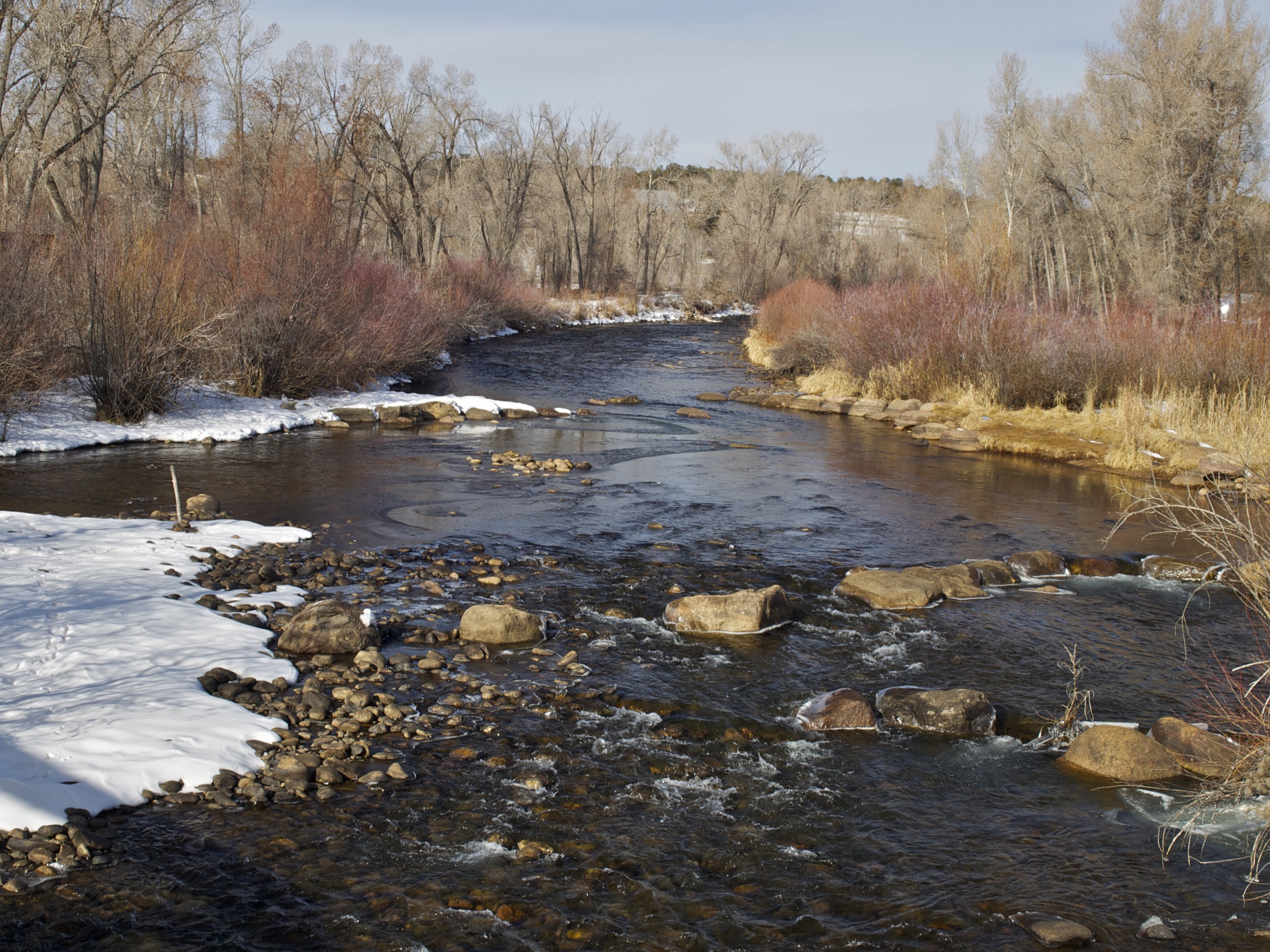
Los Pinos River C
Topographic Map of Ludwig Dr, Bayfield, CO, USA
Find elevation by address:

Places near Ludwig Dr, Bayfield, CO, USA:
913 Ludwig Dr
1424 Ludwig Dr
802 Forest Lakes Dr
108 Chateau Ln
34 San Moritz Dr
166 Spruce Way
204 Snowbird Ct
456 Mesa Dr
224 Meadowbrook Dr
246 San Moritz Dr
Forest Lakes Drive
583 Deer Ridge Dr
200 Forest Lakes Dr
75 Forest Lakes Dr
32 Forest Lakes Dr
529 San Moritz Dr
82 Deer Ridge Dr
597 San Moritz Dr
891 Deer Ridge Dr
1142 Deer Ridge Dr
Recent Searches:
- Elevation of Luther Road, Luther Rd, Auburn, CA, USA
- Elevation of Unnamed Road, Respublika Severnaya Osetiya — Alaniya, Russia
- Elevation of Verkhny Fiagdon, North Ossetia–Alania Republic, Russia
- Elevation of F. Viola Hiway, San Rafael, Bulacan, Philippines
- Elevation of Herbage Dr, Gulfport, MS, USA
- Elevation of Lilac Cir, Haldimand, ON N3W 2G9, Canada
- Elevation of Harrod Branch Road, Harrod Branch Rd, Kentucky, USA
- Elevation of Wyndham Grand Barbados Sam Lords Castle All Inclusive Resort, End of Belair Road, Long Bay, Bridgetown Barbados
- Elevation of Iga Trl, Maggie Valley, NC, USA
- Elevation of N Co Rd 31D, Loveland, CO, USA