Elevation of Lower Springs Rd, Redding, CA, USA
Location: United States > California > Shasta County > Redding >
Longitude: -122.45126
Latitude: 40.581528
Elevation: 233m / 764feet
Barometric Pressure: 99KPa
Elevation Map:
Satellite Map:
Related Photos:

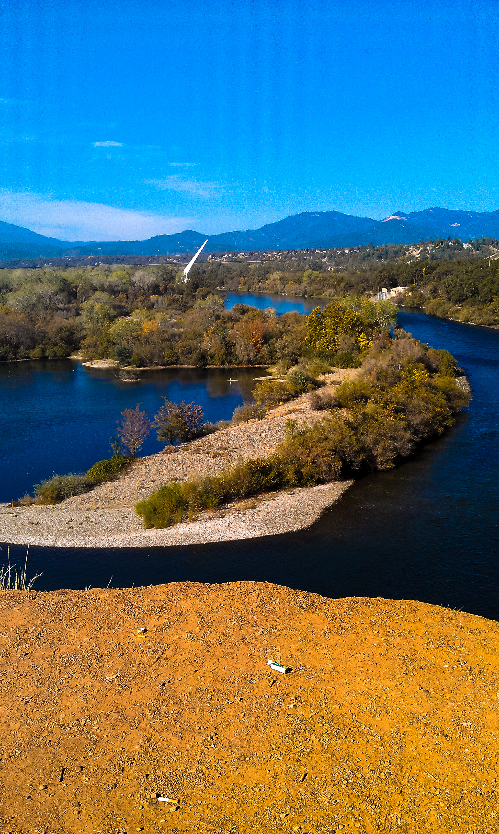
Sundial Bridge at Turtle Bay (II)

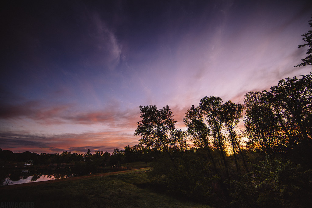
Sunset over Sacramento River

Redding, CA OES Fire Engine 329 for Shasta County
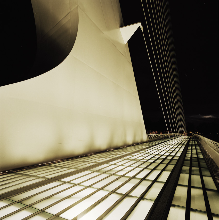
Sundial Bridge, Redding

Just realized I hadn't #grammed anything from my recent trip to Redding, California. Here's the view from the Sundial Bridge over the Sacramento River. #NorCal #latergram #naturegram #photooftheday

Self Portrait - 1

Bald Eagle with Fish in Talons - This is "Liberty", the female of the nesting pair at Turtle Bay, Redding, California

Sundial Bridge at Turtle Bay

Sundial Bridge at Turtle Bay Exploration Park facing southeast view in Redding, California.

Sundial Bridge at Turtle Bay Exploration Park facing west view in Redding, California.
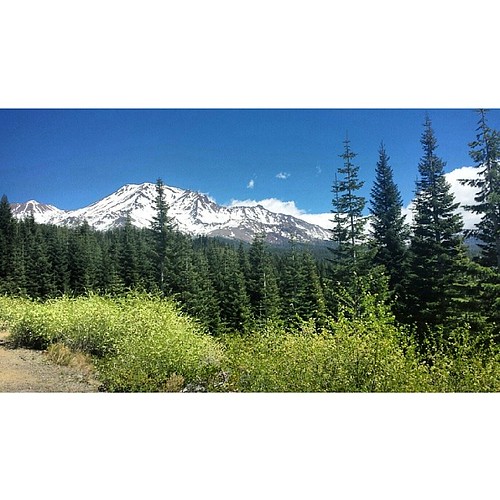
A perfect view of #MtShasta to end the weekend.
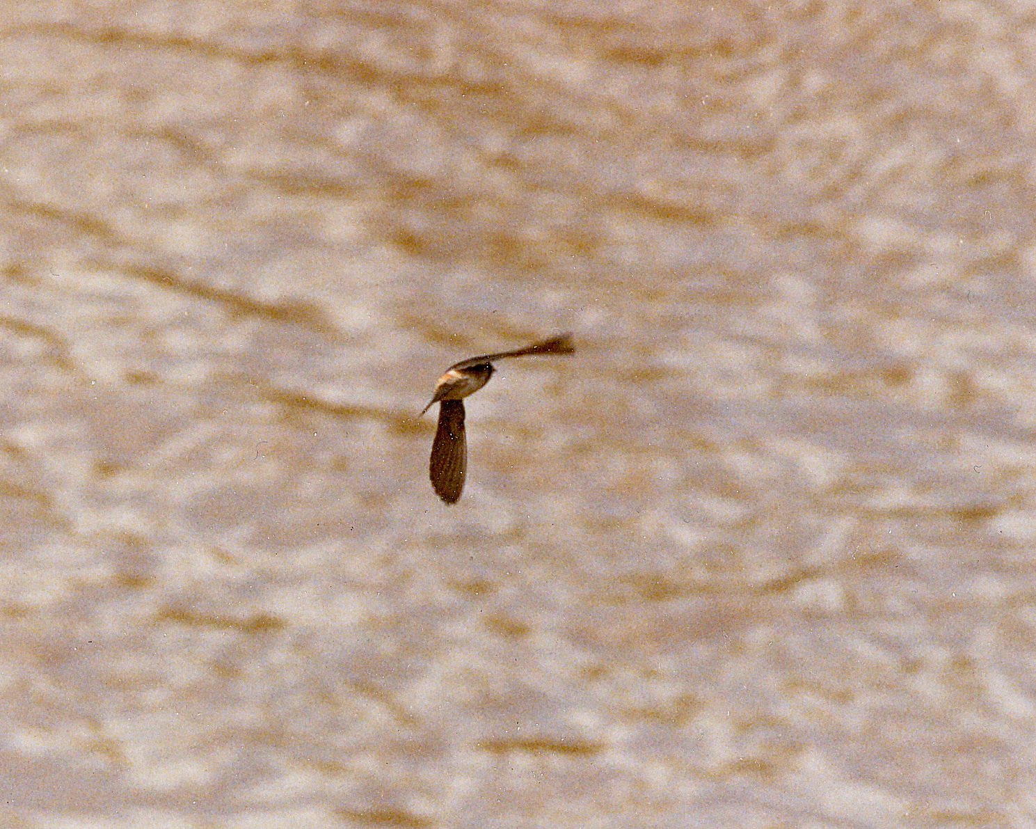
Cliff Swallow Redding 1991 7
Sundial Bridge in September

Sundial Bridge Lightning, The Sundial Bridge, Redding, CA

Self Portrait - 3
Heaven Came Down
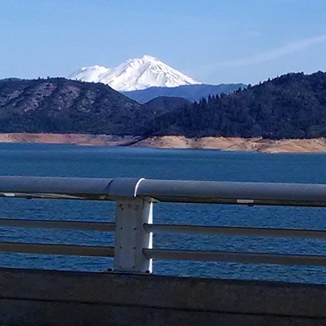
A beautiful view of Mt. Shasta from Shasta Dam.

Sundial in Blue

Calatrava's Sundial Bridge, Redding, California

Self Portrait - 2
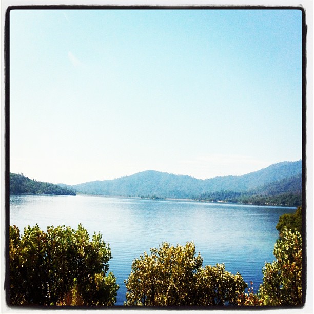
Pretty views at #whiskeytown lake

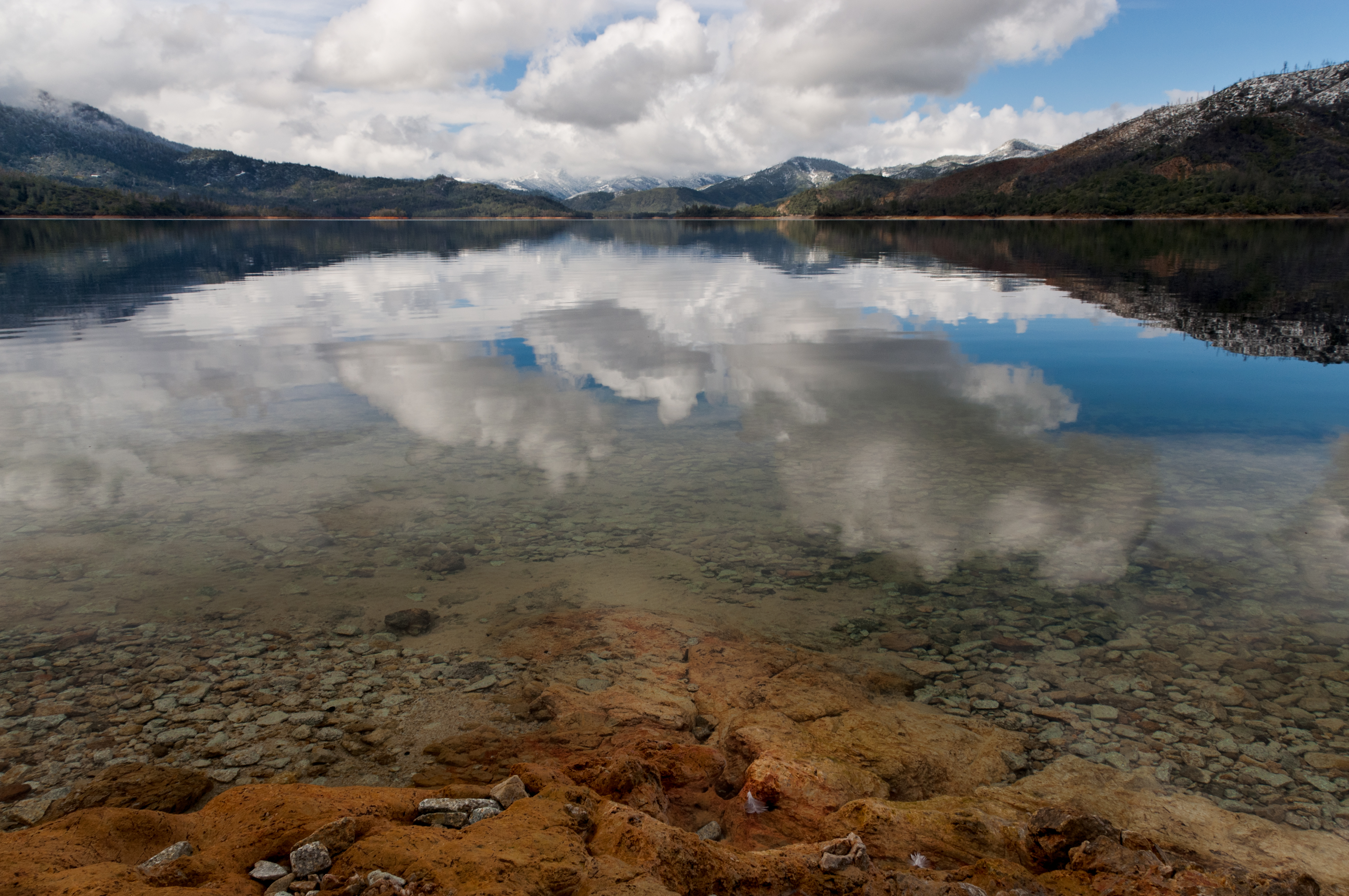
Whiskeytown Lake, California, USA
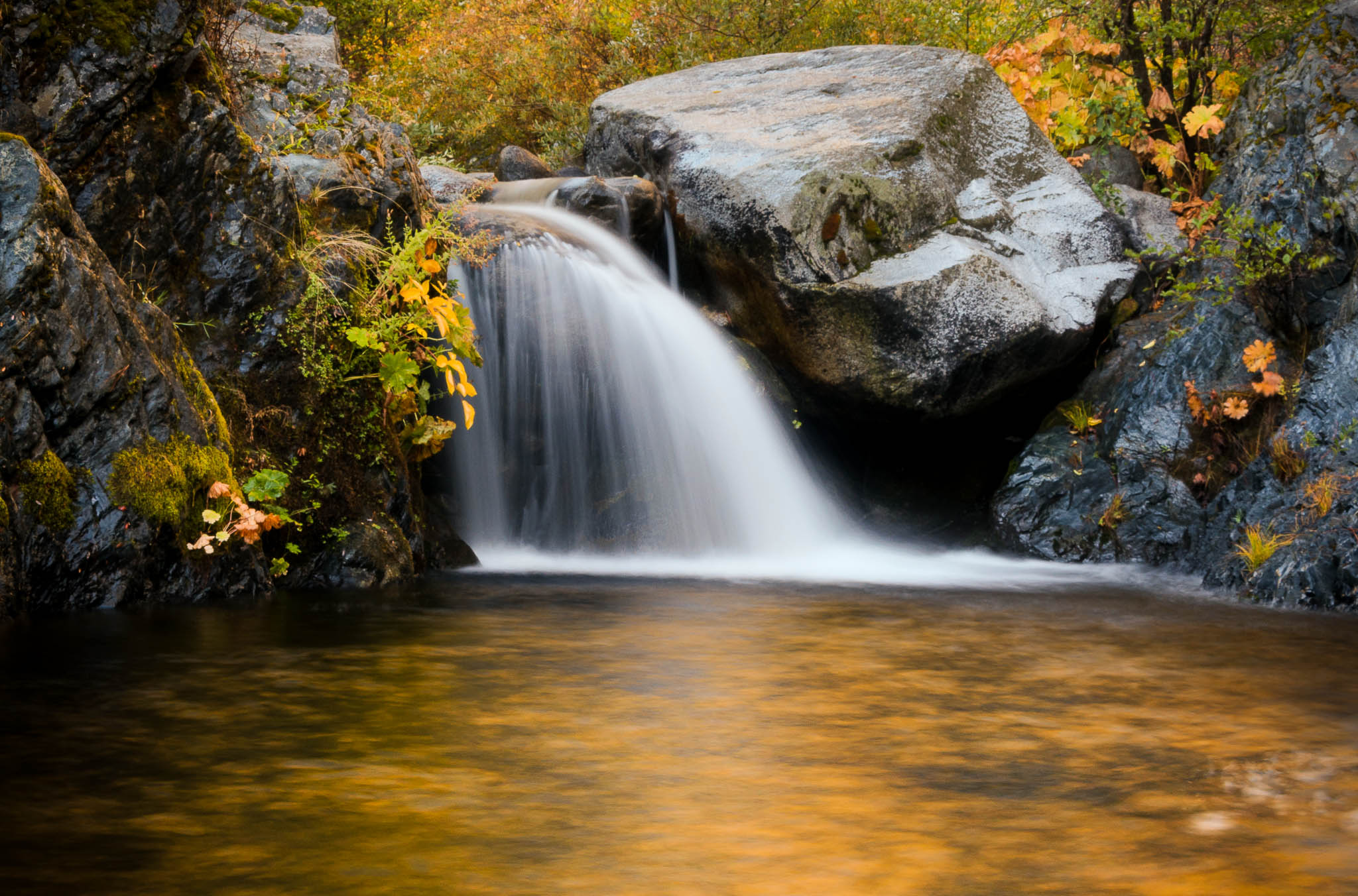
Heart of Gold (Brand Creek)
Brandy Creek (Least Expectations)

Sunset at the Sundial Bridge
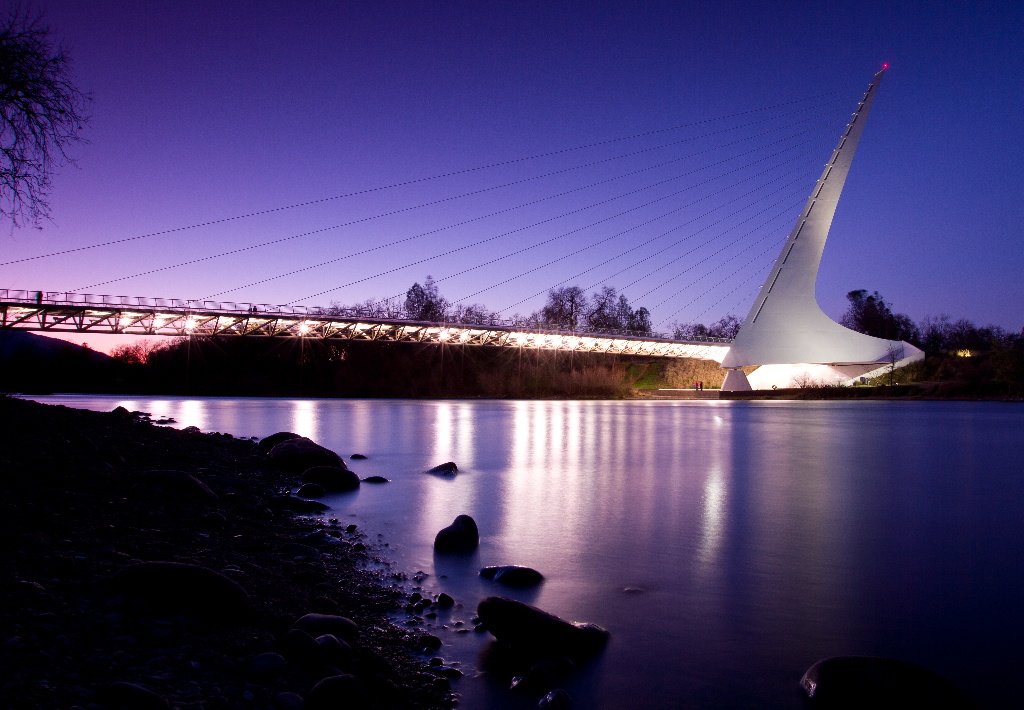
Sundial Bridge Redding Ca.

Red Along a River
Sunrise at Simpson [03.30.13]
Brand Creek (Hold On)
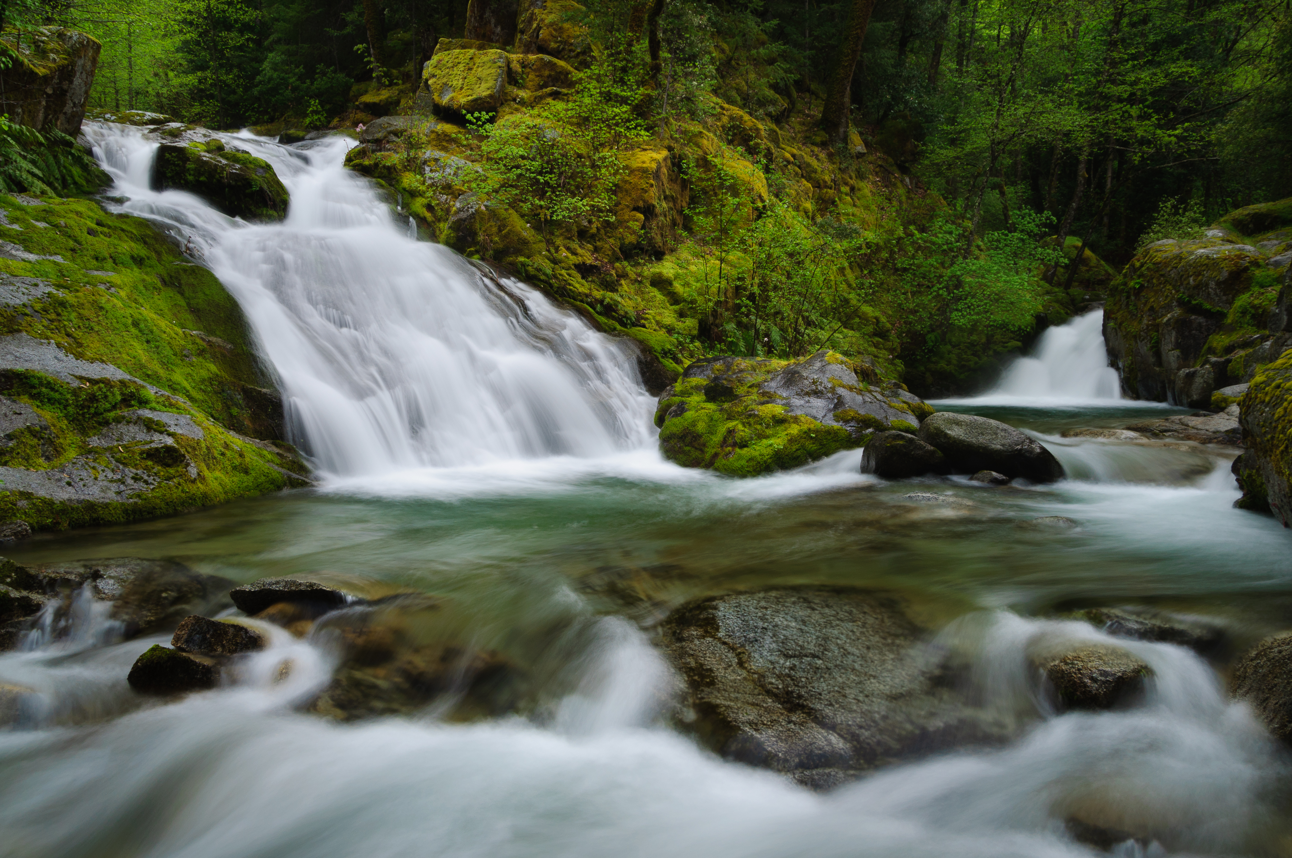
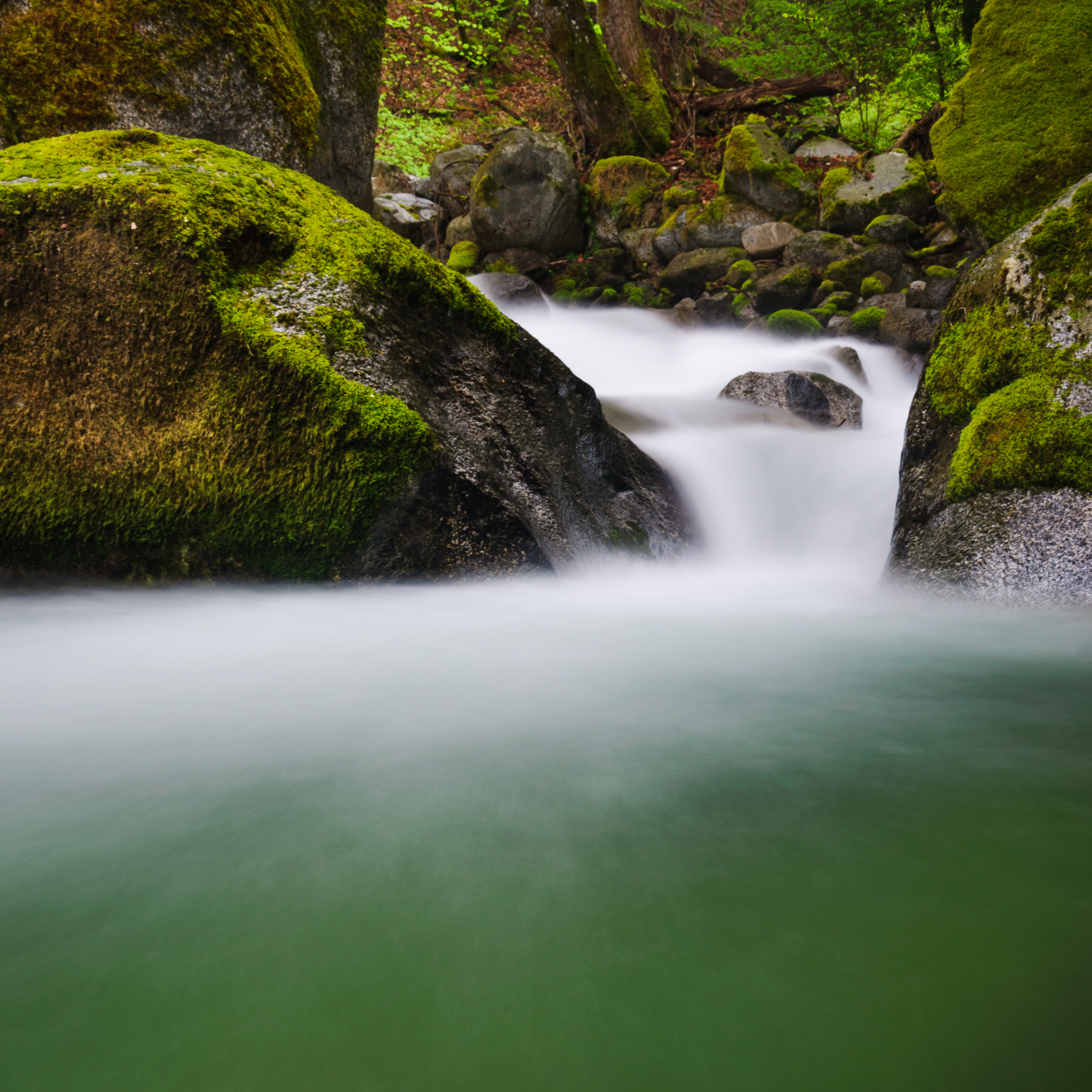
Lower Brand Creek Falls (Been a Long Time Coming)
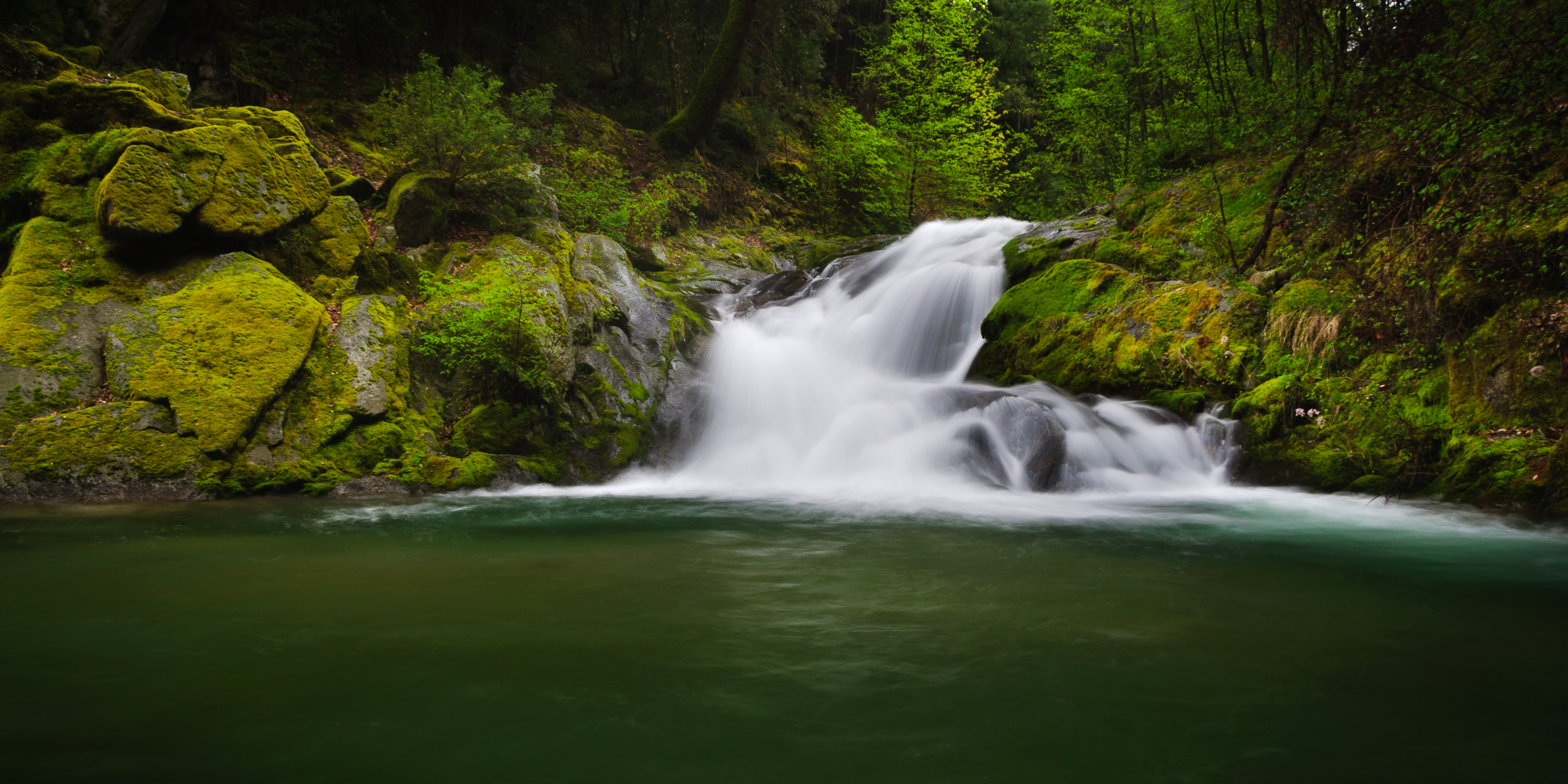
Golden Ticket (Brandy Creek Falls)
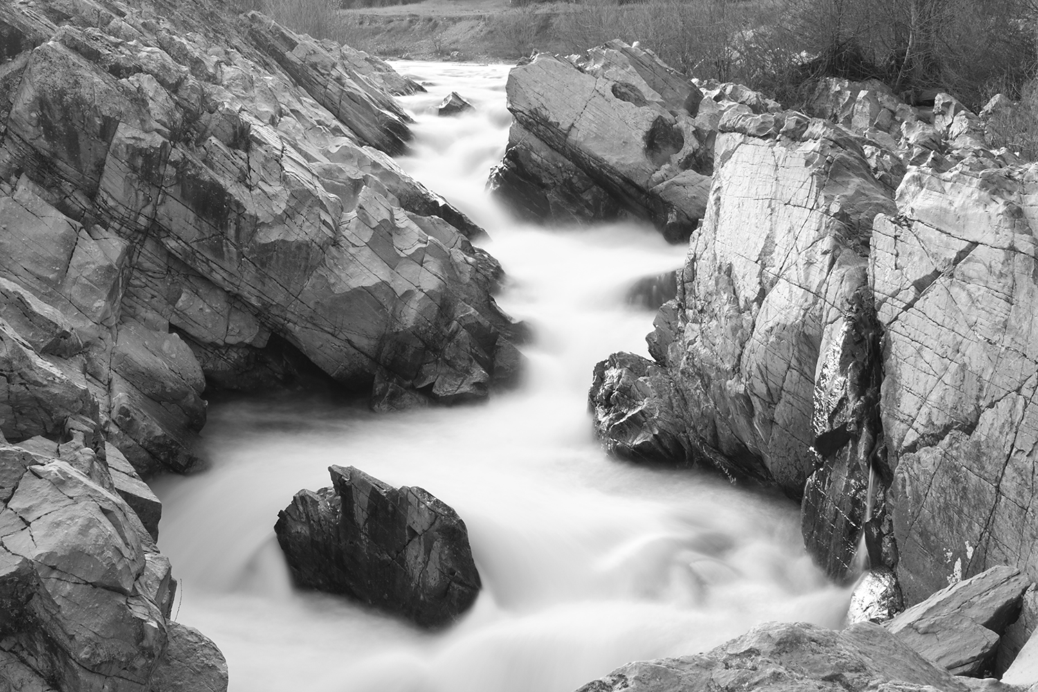
Brand Creek (Dropped)
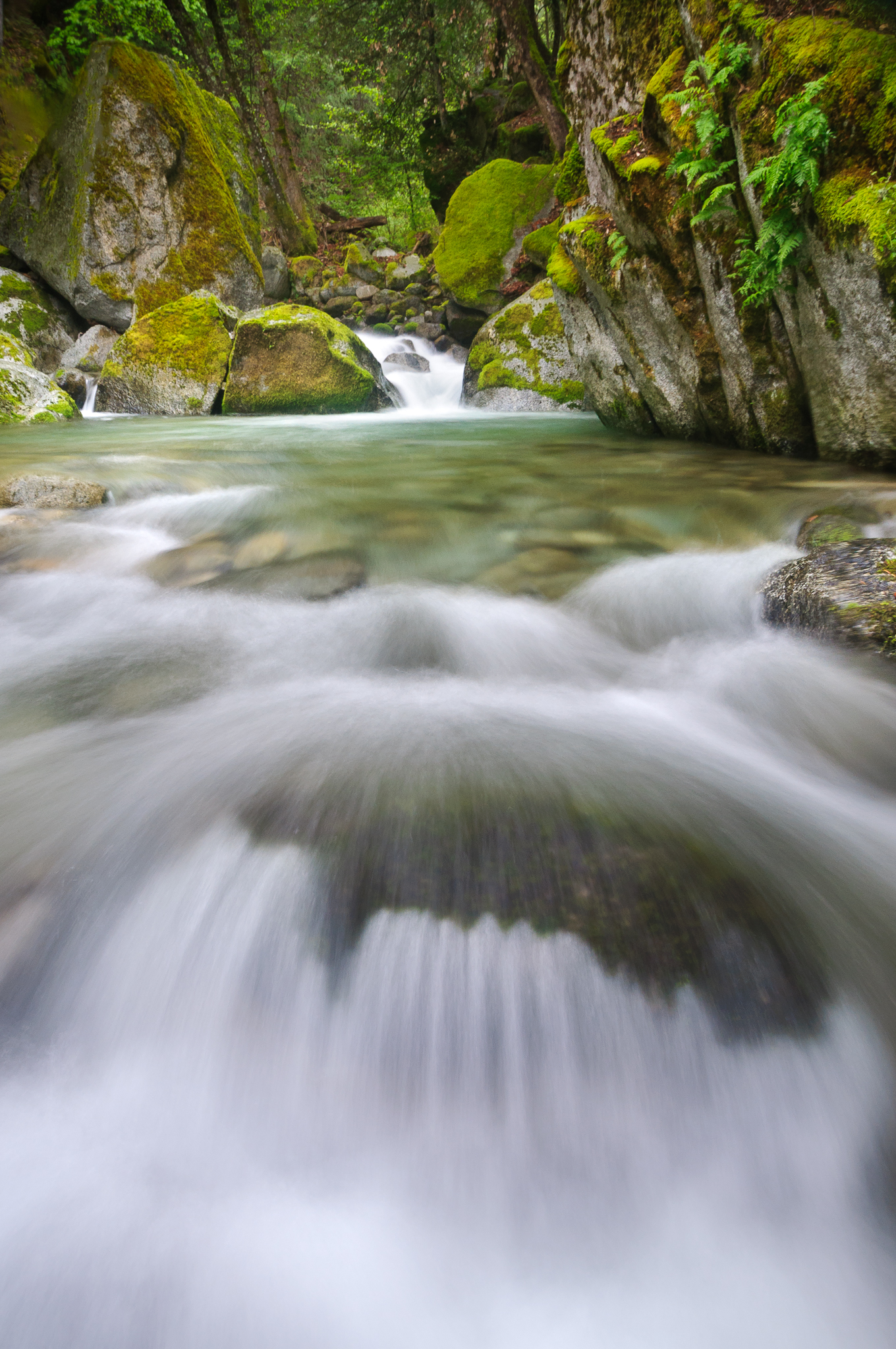
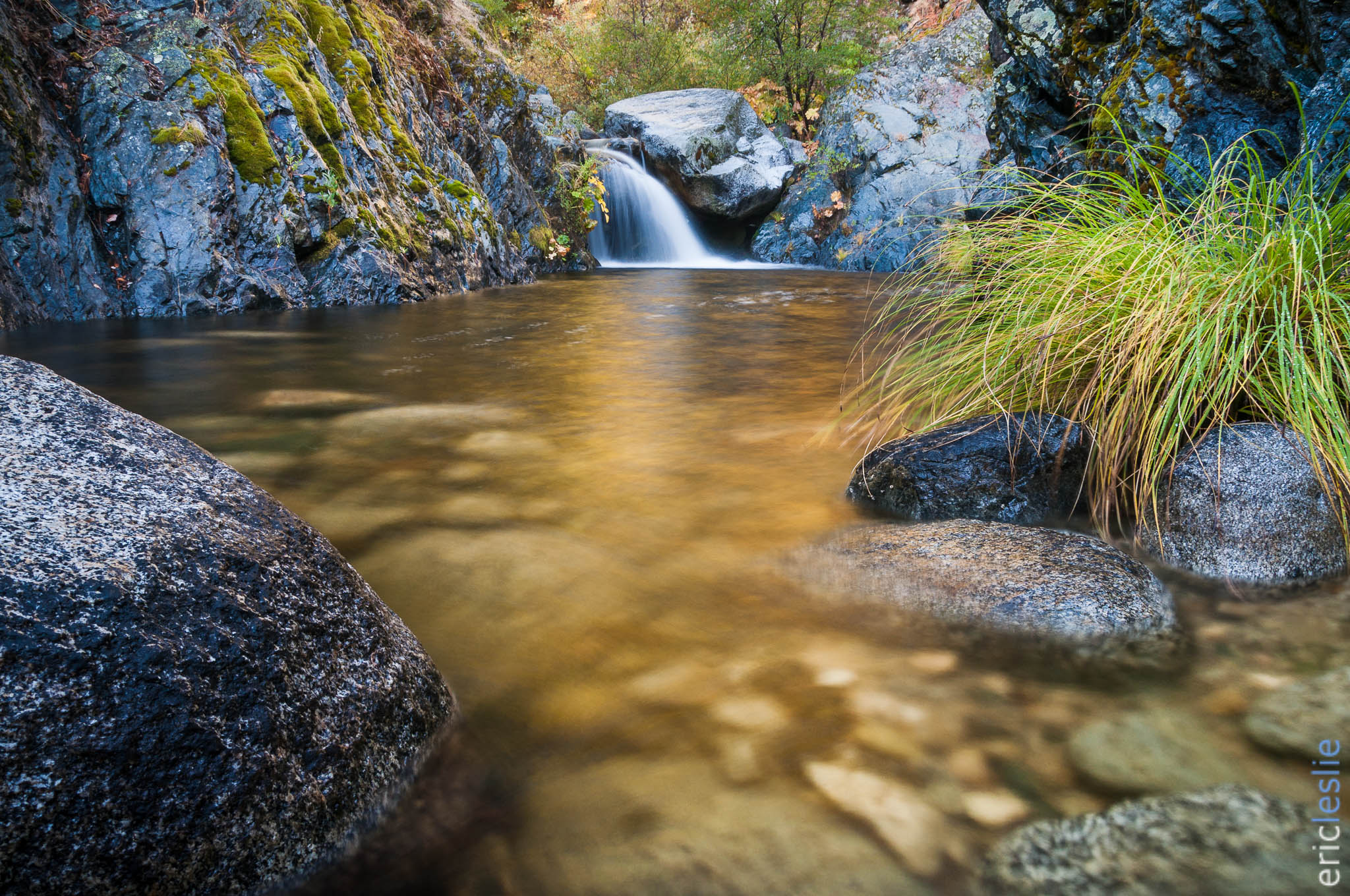
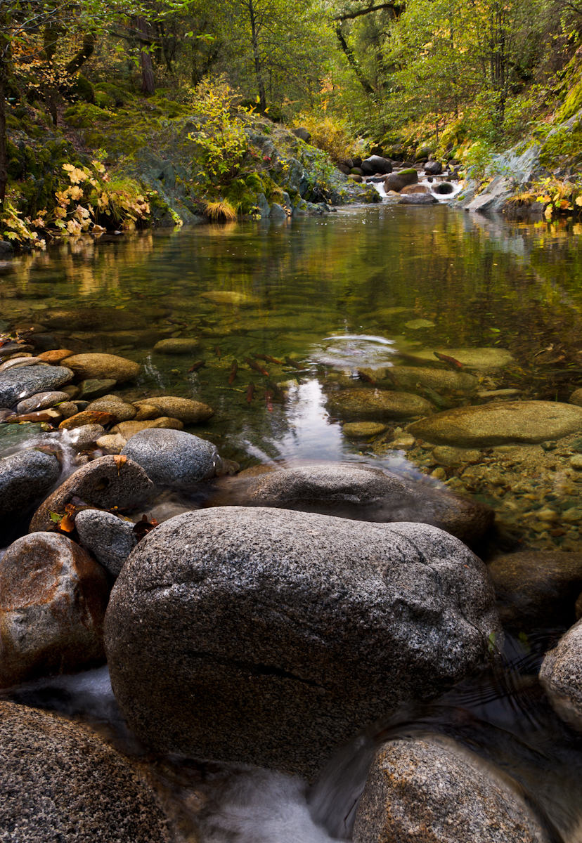
Clear Creek, near Redding
There we go (Brandy Creek)

Whiskeytown Lake Sunset [04.02.13]
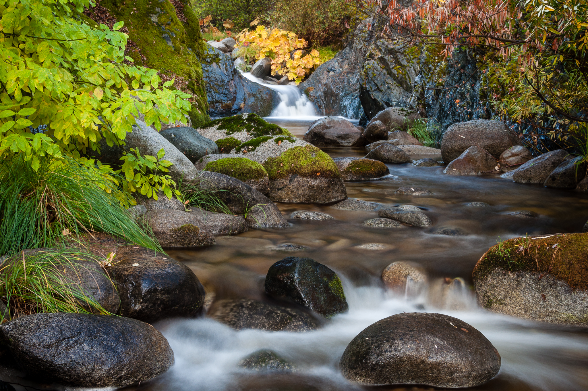
Salmon in Brandy Creek

Been a Long Time Coming
Topographic Map of Lower Springs Rd, Redding, CA, USA
Find elevation by address:

Places near Lower Springs Rd, Redding, CA, USA:
Mary Lake
4475 Moyvane Dr
Sunset West
715 Sunriver Ln
1759 Record Ln
1192 Sunriver Ln
Sunset
4575 Nantucket Dr
2781 Gladstone Ct
2781 Gladstone Ct
9668 Swasey Dr
Drexel Way
3950 Oro St
4156 Boston Ave
6866 Placer St
968 Albion Ave
Shasta Rail Trail
Westside Estates
Westgate
16945 Campo Calle
Recent Searches:
- Elevation of Congressional Dr, Stevensville, MD, USA
- Elevation of Bellview Rd, McLean, VA, USA
- Elevation of Stage Island Rd, Chatham, MA, USA
- Elevation of Shibuya Scramble Crossing, 21 Udagawacho, Shibuya City, Tokyo -, Japan
- Elevation of Jadagoniai, Kaunas District Municipality, Lithuania
- Elevation of Pagonija rock, Kranto 7-oji g. 8"N, Kaunas, Lithuania
- Elevation of Co Rd 87, Jamestown, CO, USA
- Elevation of Tenjo, Cundinamarca, Colombia
- Elevation of Côte-des-Neiges, Montreal, QC H4A 3J6, Canada
- Elevation of Bobcat Dr, Helena, MT, USA