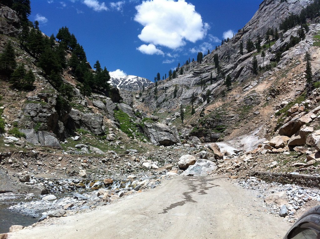
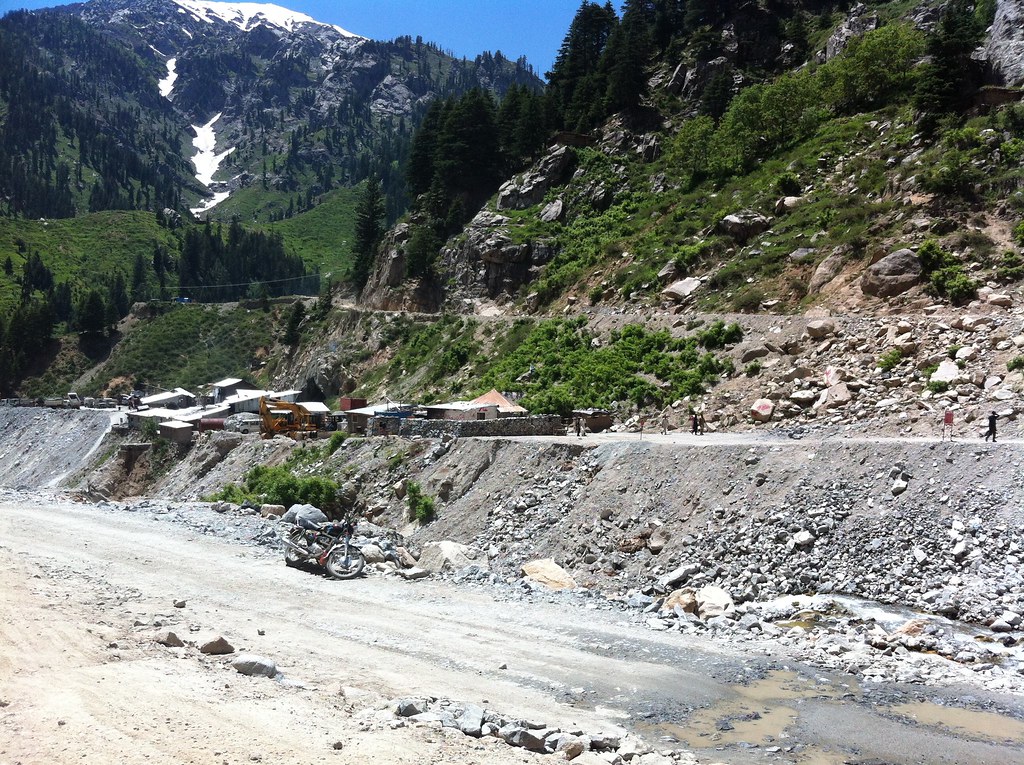
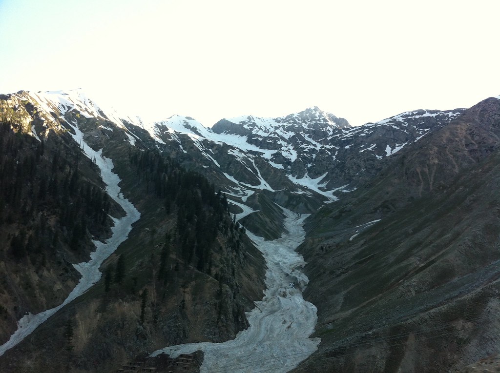
Elevation of Lowari Tunnel, Upper Dir, Khyber Pakhtunkhwa, Pakistan
Location: Pakistan > Khyber Pakhtunkhwa > Upper Dir >
Longitude: 71.809119
Latitude: 35.3499171
Elevation: 3080m / 10105feet
Barometric Pressure: 69KPa
Elevation Map:
Satellite Map:
Related Photos:

All Photos-318

All Photos-319

All Photos-367
All Photos-320

All Photos-317
All Photos-322

All Photos-325

All Photos-364

All Photos-368

All Photos-366
All Photos-324

All Photos-323

All Photos-327
Topographic Map of Lowari Tunnel, Upper Dir, Khyber Pakhtunkhwa, Pakistan
Find elevation by address:

Places near Lowari Tunnel, Upper Dir, Khyber Pakhtunkhwa, Pakistan:
Lowari Tunnel
Lowari Tunnel
Lowari Tunnel
Lowari Top
Lowari Pass
Lowari Tunnel Road
Dir
Dir
Sheringal
Shaheed Benazir Bhutto University, Sheringal
Drosh
Upper Dir
University Of Chitral
Ayun
Ayun
Bumburet Valley Bridge
Police Checkpost Bumburet Valley
Shandur Lake
Kumrat Valley
Chitral
Recent Searches:
- Elevation of Kreuzburger Weg 13, Düsseldorf, Germany
- Elevation of Gateway Blvd SE, Canton, OH, USA
- Elevation of East W.T. Harris Boulevard, E W.T. Harris Blvd, Charlotte, NC, USA
- Elevation of West Sugar Creek, Charlotte, NC, USA
- Elevation of Wayland, NY, USA
- Elevation of Steadfast Ct, Daphne, AL, USA
- Elevation of Lagasgasan, X+CQH, Tiaong, Quezon, Philippines
- Elevation of Rojo Ct, Atascadero, CA, USA
- Elevation of Flagstaff Drive, Flagstaff Dr, North Carolina, USA
- Elevation of Avery Ln, Lakeland, FL, USA