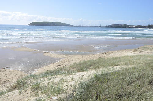
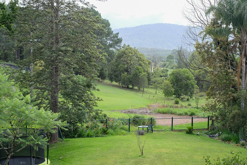
Elevation of Lowanna NSW, Australia
Location: Australia > New South Wales > Coffs Harbour City Council >
Longitude: 152.899759
Latitude: -30.202219
Elevation: 587m / 1926feet
Barometric Pressure: 94KPa
Related Photos:
Topographic Map of Lowanna NSW, Australia
Find elevation by address:

Places near Lowanna NSW, Australia:
492 Timber Top Rd
Upper Orara
280d Upper Orara Rd
356 N Island Loop Rd
693 Upper Orara Rd
Megan
Coffs Harbour City Council
Glenreagh
38b Roselands Dr
Bellingen Shire Council
7 Charlotte Ct
Korora
St Josephs Hostel
West High Street
Coffs Harbour
Thora
Bellingen
Sawtell
7 Fourth Ave
Waterfall Way
Recent Searches:
- Elevation of Jalan Senandin, Lutong, Miri, Sarawak, Malaysia
- Elevation of Bilohirs'k
- Elevation of 30 Oak Lawn Dr, Barkhamsted, CT, USA
- Elevation of Luther Road, Luther Rd, Auburn, CA, USA
- Elevation of Unnamed Road, Respublika Severnaya Osetiya — Alaniya, Russia
- Elevation of Verkhny Fiagdon, North Ossetia–Alania Republic, Russia
- Elevation of F. Viola Hiway, San Rafael, Bulacan, Philippines
- Elevation of Herbage Dr, Gulfport, MS, USA
- Elevation of Lilac Cir, Haldimand, ON N3W 2G9, Canada
- Elevation of Harrod Branch Road, Harrod Branch Rd, Kentucky, USA


