Elevation of Louisiana 60, LA-60, Bogalusa, LA, USA
Location: United States > Louisiana > Washington Parish > >
Longitude: -89.969019
Latitude: 30.751434
Elevation: 70m / 230feet
Barometric Pressure: 100KPa
Elevation Map:
Satellite Map:
Related Photos:
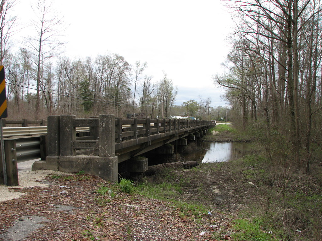
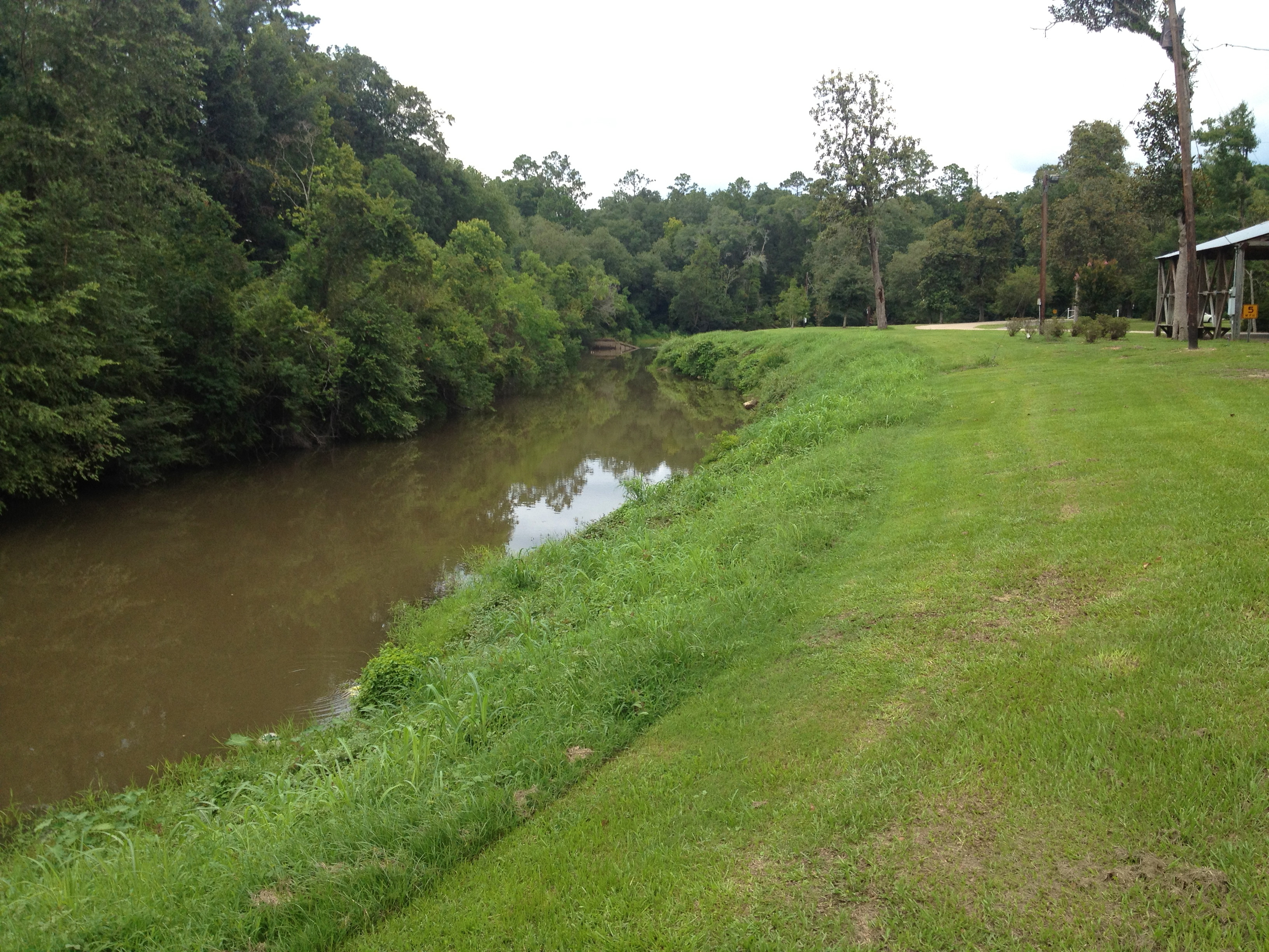
Coburn Creek-Side View

@mordecai02 practicing canoe techniques and working on his canoe merit badge.
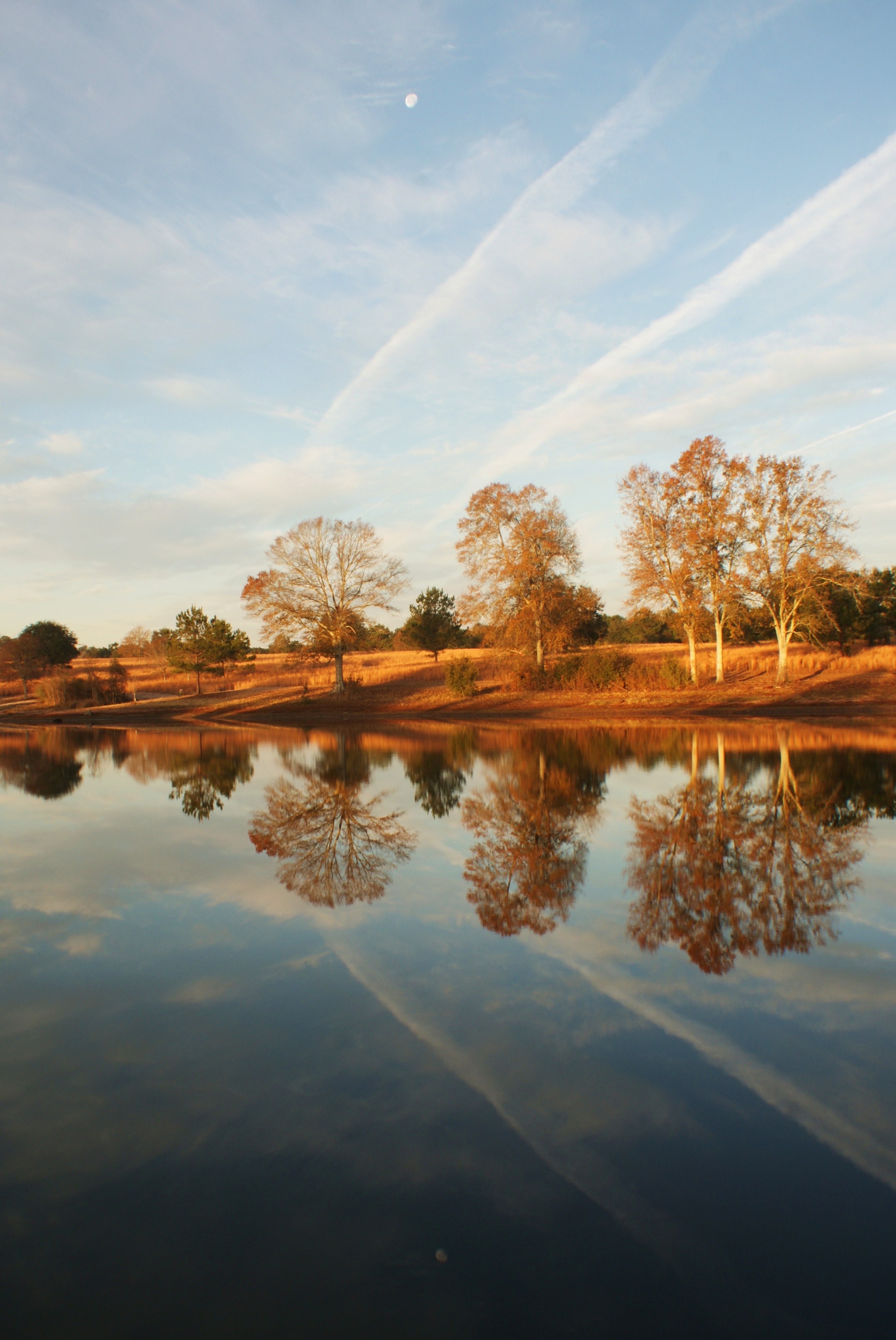
Mimi and papa's pond
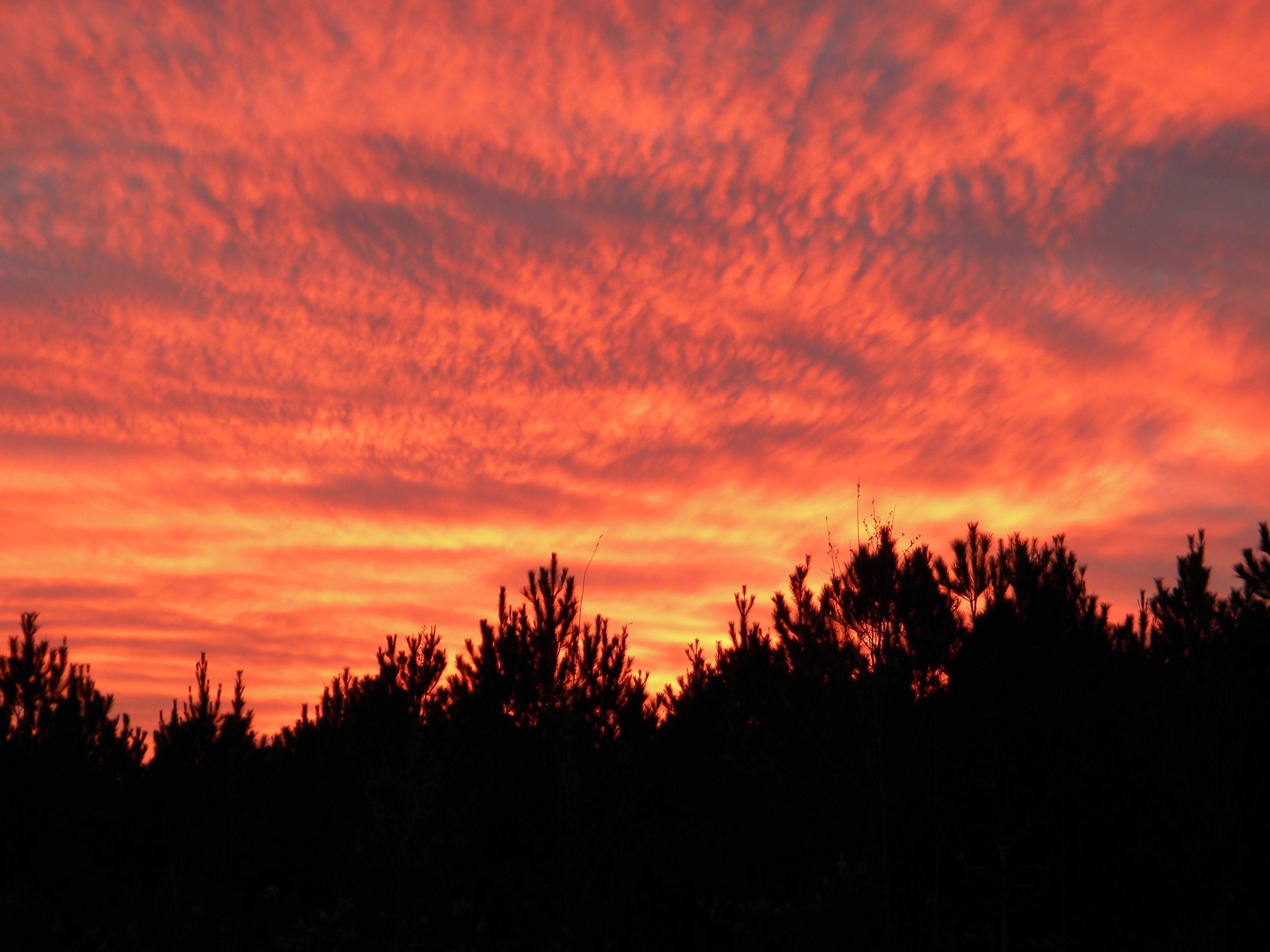
Sunset in Sun,LA
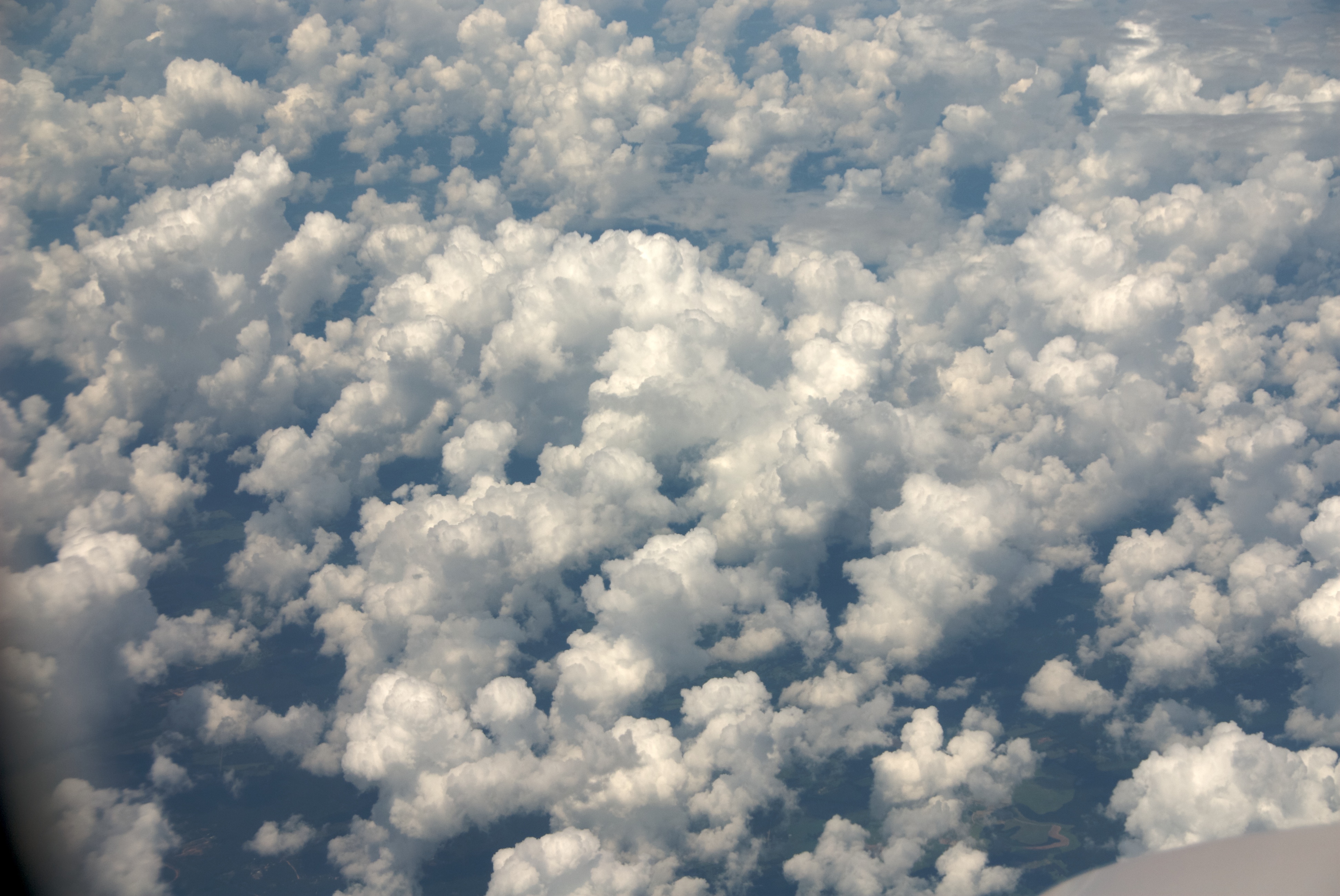
Flight Home 14
The bogue

Men on the move

LA 1074 Route Shield

LA 60 Route Shield

LA 1073 Route Shield

The Feng Shui Consultants of Bogalusa prepare to work their magic on the alley behind Harvey's Dance Club

"Can I take your picture?" "I don't care." "I'm gonna put it on the Internet." "That's okay, I'm not wanted anymore." Jerome and Otis. #cigars #afuente #arturofuente #tobaccooutcast #tobacco #bogalusa #Louisiana

Ashton Maduro. #cigars #tobaccooutcast #tobacco

Stinky. #bogalusa #usa #Louisiana

Fantastic! #Louisiana #secondamendment #opencarry #america
Topographic Map of Louisiana 60, LA-60, Bogalusa, LA, USA
Find elevation by address:

Places near Louisiana 60, LA-60, Bogalusa, LA, USA:
2, LA, USA
57807 Spring Valley Rd
57573 Spring Valley Rd
LA-, Bogalusa, LA, USA
690 Quave Rd
1, LA, USA
80573 Ben Williams Rd
Charles Kelly Road
82052 Charles Kelly Rd
117 Fairgrounds Blvd
80663 La-1083
Bush
Ben Williams Road
Churchill Downs Drive
104 Gallant Fox Ct
104 Gallant Fox Ct
80475 Oaklawn Dr
Jim Williams Road
80138 Railroad Ave
Railroad Avenue
Recent Searches:
- Elevation of Elwyn Dr, Roanoke Rapids, NC, USA
- Elevation of Congressional Dr, Stevensville, MD, USA
- Elevation of Bellview Rd, McLean, VA, USA
- Elevation of Stage Island Rd, Chatham, MA, USA
- Elevation of Shibuya Scramble Crossing, 21 Udagawacho, Shibuya City, Tokyo -, Japan
- Elevation of Jadagoniai, Kaunas District Municipality, Lithuania
- Elevation of Pagonija rock, Kranto 7-oji g. 8"N, Kaunas, Lithuania
- Elevation of Co Rd 87, Jamestown, CO, USA
- Elevation of Tenjo, Cundinamarca, Colombia
- Elevation of Côte-des-Neiges, Montreal, QC H4A 3J6, Canada