Elevation map of Louga Region, Senegal
Location: Senegal >
Longitude: -15.219480
Latitude: 15.4370399
Elevation: 37m / 121feet
Barometric Pressure: 101KPa
Elevation Map:
Satellite Map:
Related Photos:

Weapons

Desert de Lompoul

Desert de Lompoul
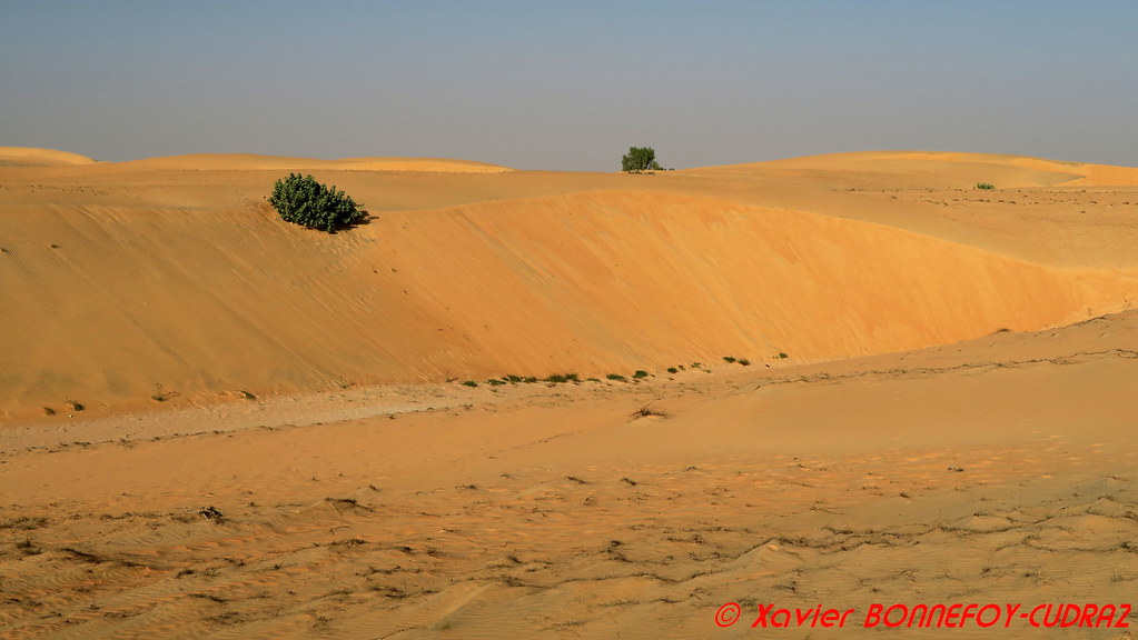
Desert de Lompoul
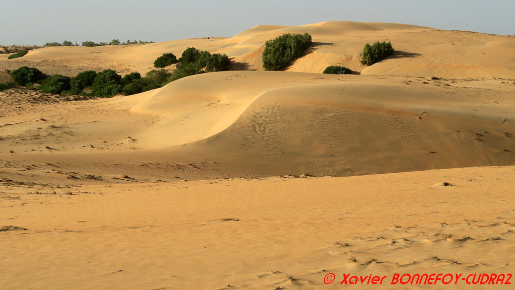
Desert de Lompoul

Desert de Lompoul

DSC01169 A herd of cattle crossing a road in search of pasture in Louga region, Senegal
Topographic Map of Louga Region, Senegal
Find elevation by address:

Places in Louga Region, Senegal:
Places near Louga Region, Senegal:
Recent Searches:
- Elevation of Scenic Shore Dr, Kingwood Area, TX, USA
- Elevation of W Prive Cir, Delray Beach, FL, USA
- Elevation of S Layton Cir W, Layton, UT, USA
- Elevation of F36W+3M, Mussoorie, Uttarakhand, India
- Elevation of Fairland Ave, Fairhope, AL, USA
- Elevation of Sunset Dr, Richmond, VA, USA
- Elevation of Grodna District, Hrodna Region, Belarus
- Elevation of Hrodna, Hrodna Region, Belarus
- Elevation of Sandia Derby Estates, Tijeras, NM, USA
- Elevation of 23 Sunrise View Ct, Tijeras, NM, USA