Elevation of Lotts Creek Rd, Hazard, KY, USA
Location: United States > Kentucky > Perry County > Hazard >
Longitude: -83.059006
Latitude: 37.246419
Elevation: 341m / 1119feet
Barometric Pressure: 97KPa
Elevation Map:
Satellite Map:
Related Photos:
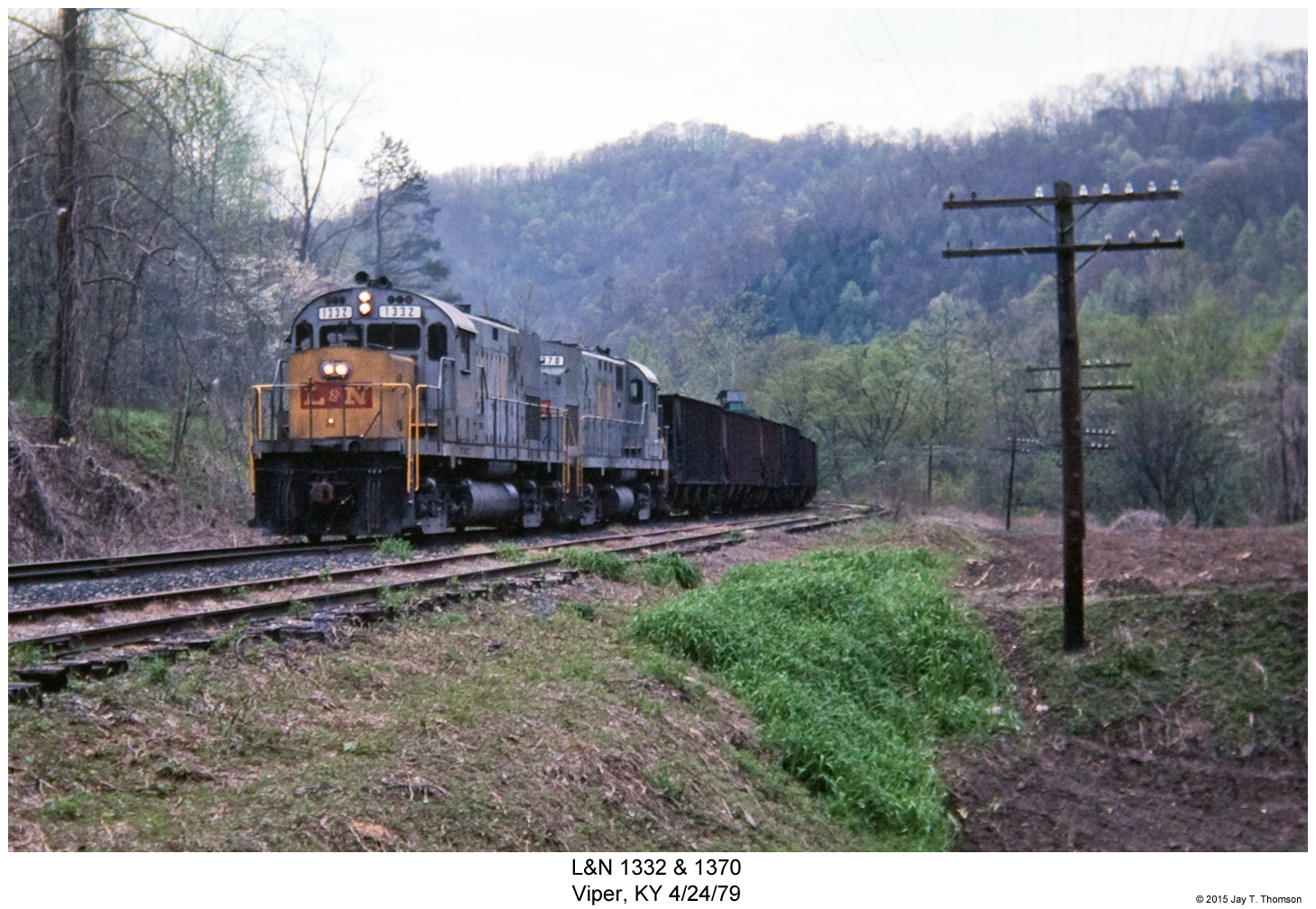
L&N 1332 & 1370
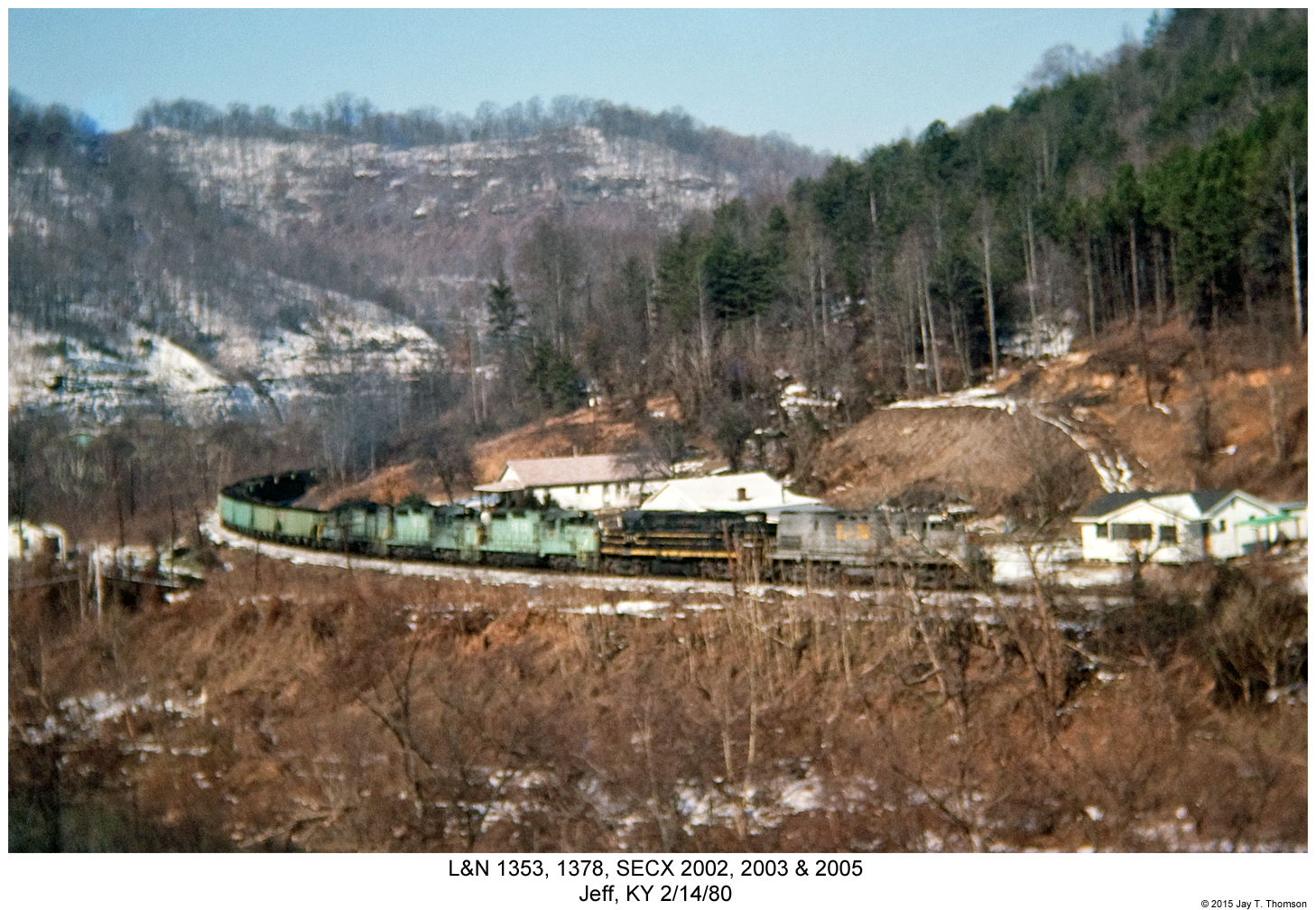
L&N 1353, 1378, SECX 2002, 2003 & 2005
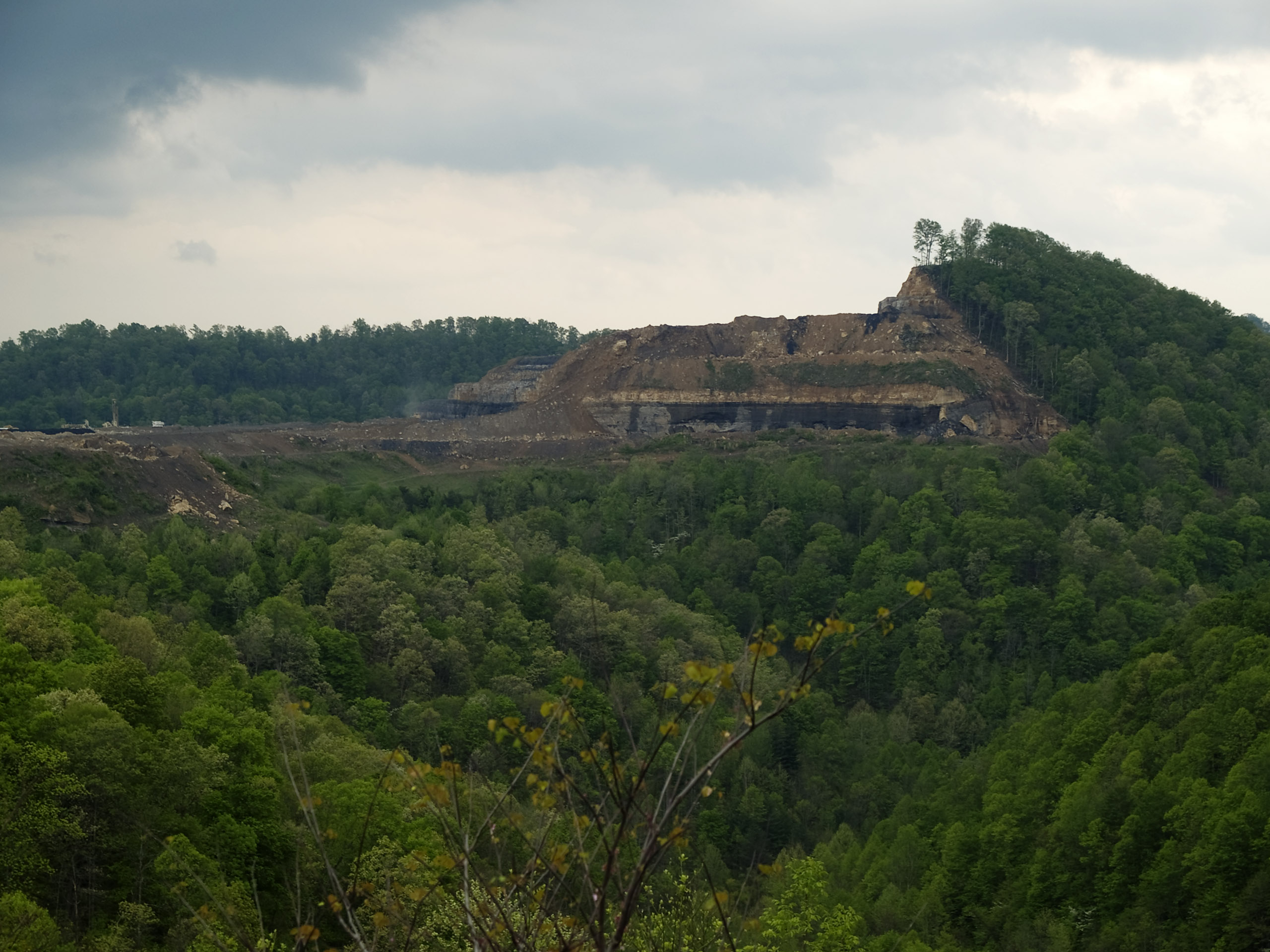
How Mountains Die in Kentucky
Upper Booger Hollow.

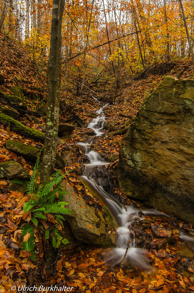
Rainy day....

BLUEGRASS TRIP 08.06.2005 030
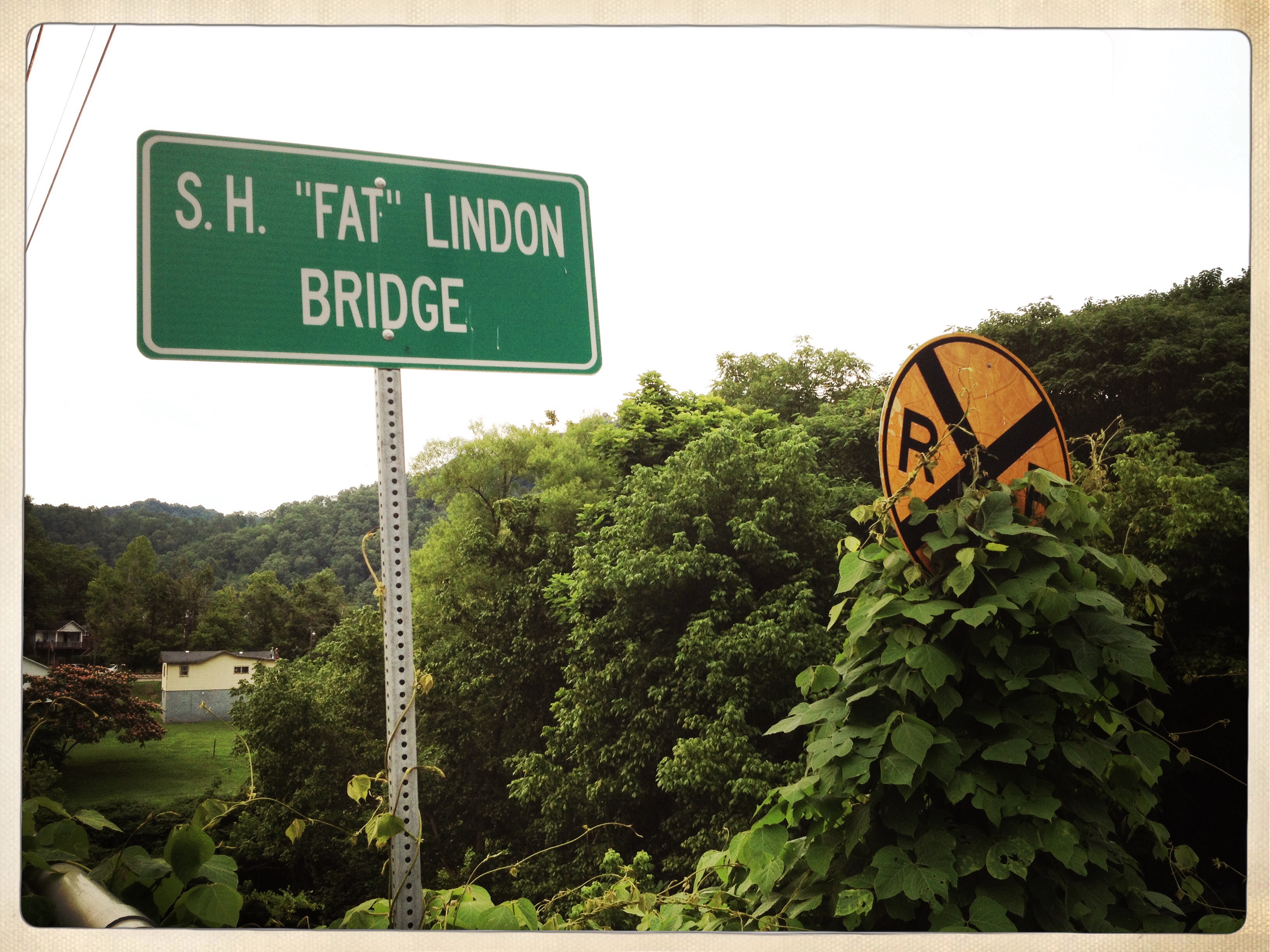
Bridge shaming

slide6 (1)

slide1 _edit

Hindman, Kentucky United Methodist Women Opening Umbrellas to intercept human traffickers.

Why is anyone allowed to own multiple pistols showing up in plaid and a #Dogpatch Hat? @drewshd_net @Jimdrews2
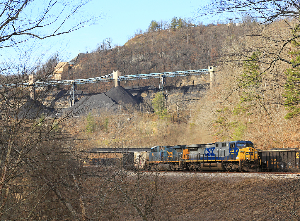
CSX EK Sub-Crawford Yard
Topographic Map of Lotts Creek Rd, Hazard, KY, USA
Find elevation by address:

Places near Lotts Creek Rd, Hazard, KY, USA:
Vicco
25 Main St, Vicco, KY, USA
Happy
Happy Cir, Happy, KY, USA
Caleb Trail
Carrie Loop, Emmalena, KY, USA
Carrie Post Office
Emmalena
Carrie
Civil War Gap, Blackey, KY, USA
Booth Ridge Rd, Hazard, KY, USA
Viper
Cornettsville
Hindman
Knott County
Locust St, Hazard, KY, USA
Riverview Dr, Hazard, KY, USA
69 Main St Loop, Blackey, KY, USA
Blackey
Kentucky 476
Recent Searches:
- Elevation of Congressional Dr, Stevensville, MD, USA
- Elevation of Bellview Rd, McLean, VA, USA
- Elevation of Stage Island Rd, Chatham, MA, USA
- Elevation of Shibuya Scramble Crossing, 21 Udagawacho, Shibuya City, Tokyo -, Japan
- Elevation of Jadagoniai, Kaunas District Municipality, Lithuania
- Elevation of Pagonija rock, Kranto 7-oji g. 8"N, Kaunas, Lithuania
- Elevation of Co Rd 87, Jamestown, CO, USA
- Elevation of Tenjo, Cundinamarca, Colombia
- Elevation of Côte-des-Neiges, Montreal, QC H4A 3J6, Canada
- Elevation of Bobcat Dr, Helena, MT, USA