Elevation of Lot 15, PE, Canada
Location: Canada > Prince Edward Island > Prince County >
Longitude: -64.122154
Latitude: 46.3958034
Elevation: 0m / 0feet
Barometric Pressure: 101KPa
Elevation Map:
Satellite Map:
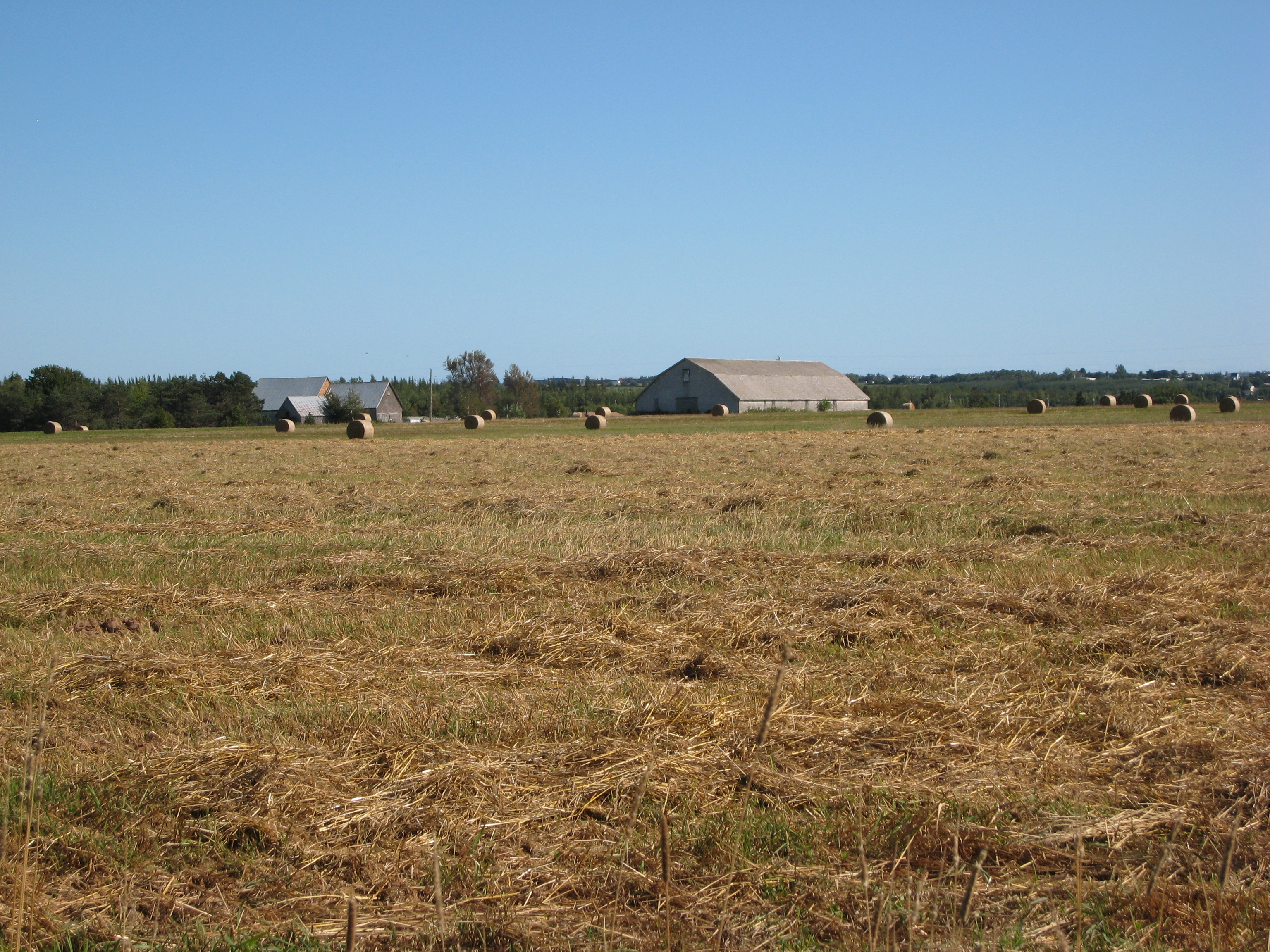
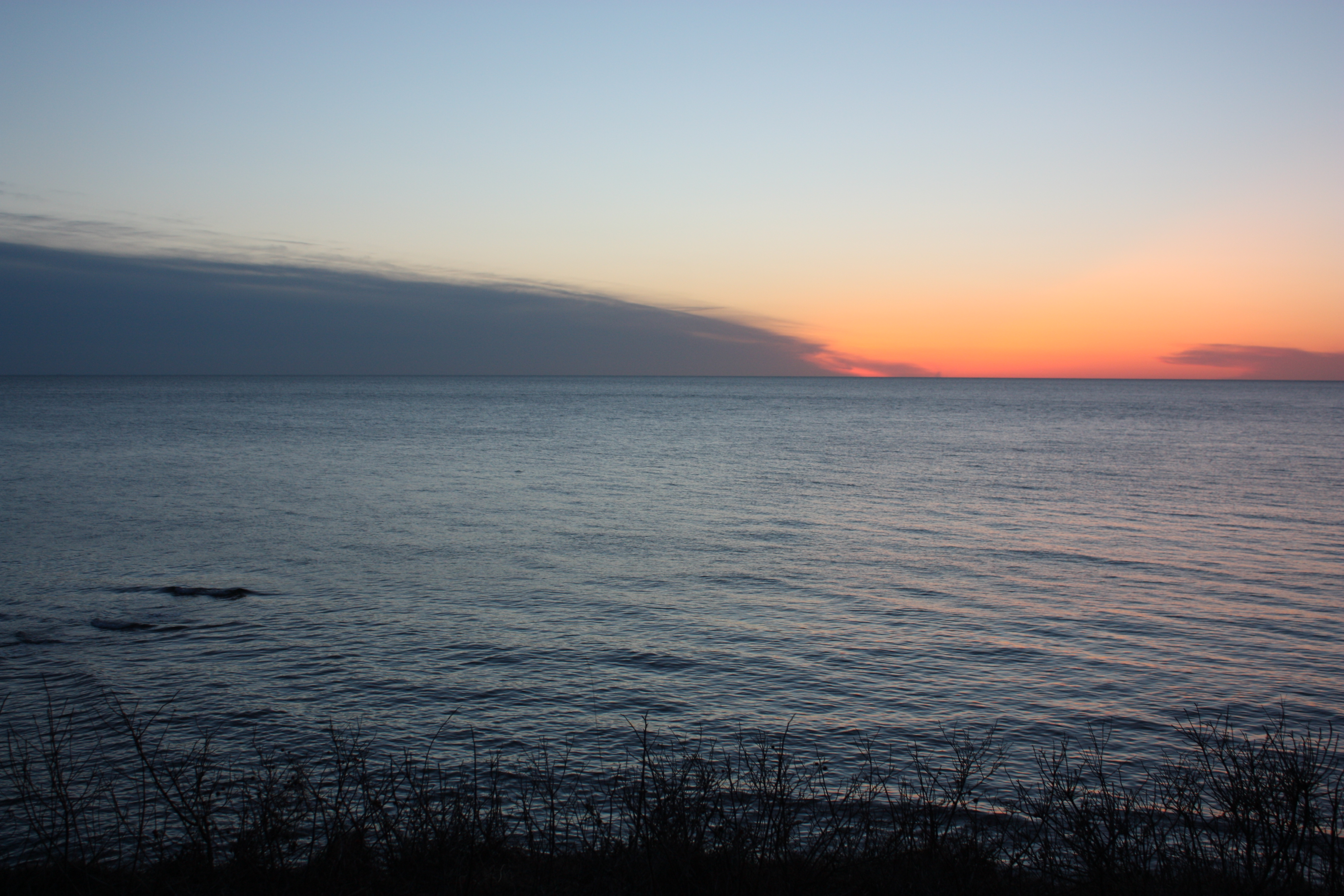
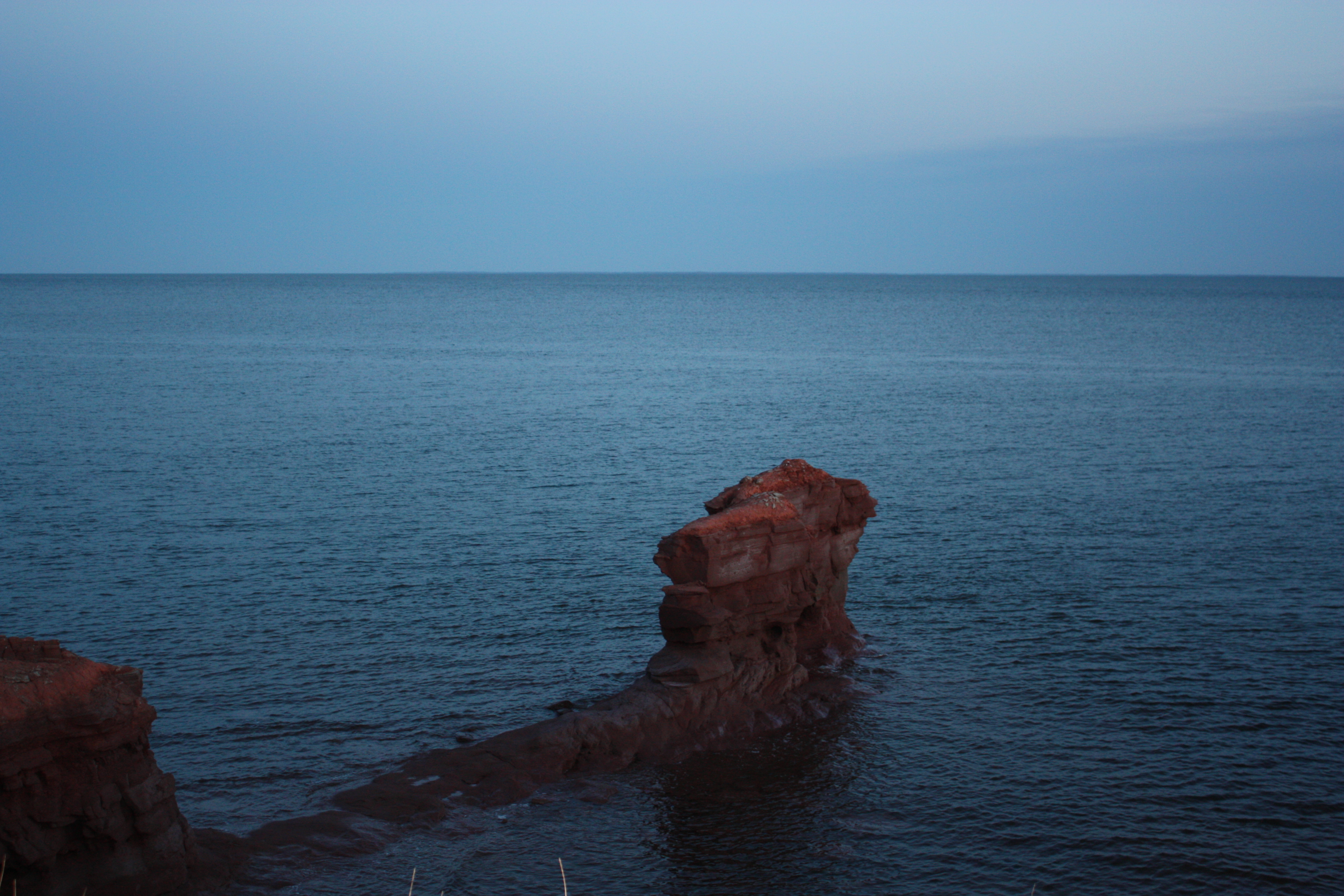
Related Photos:
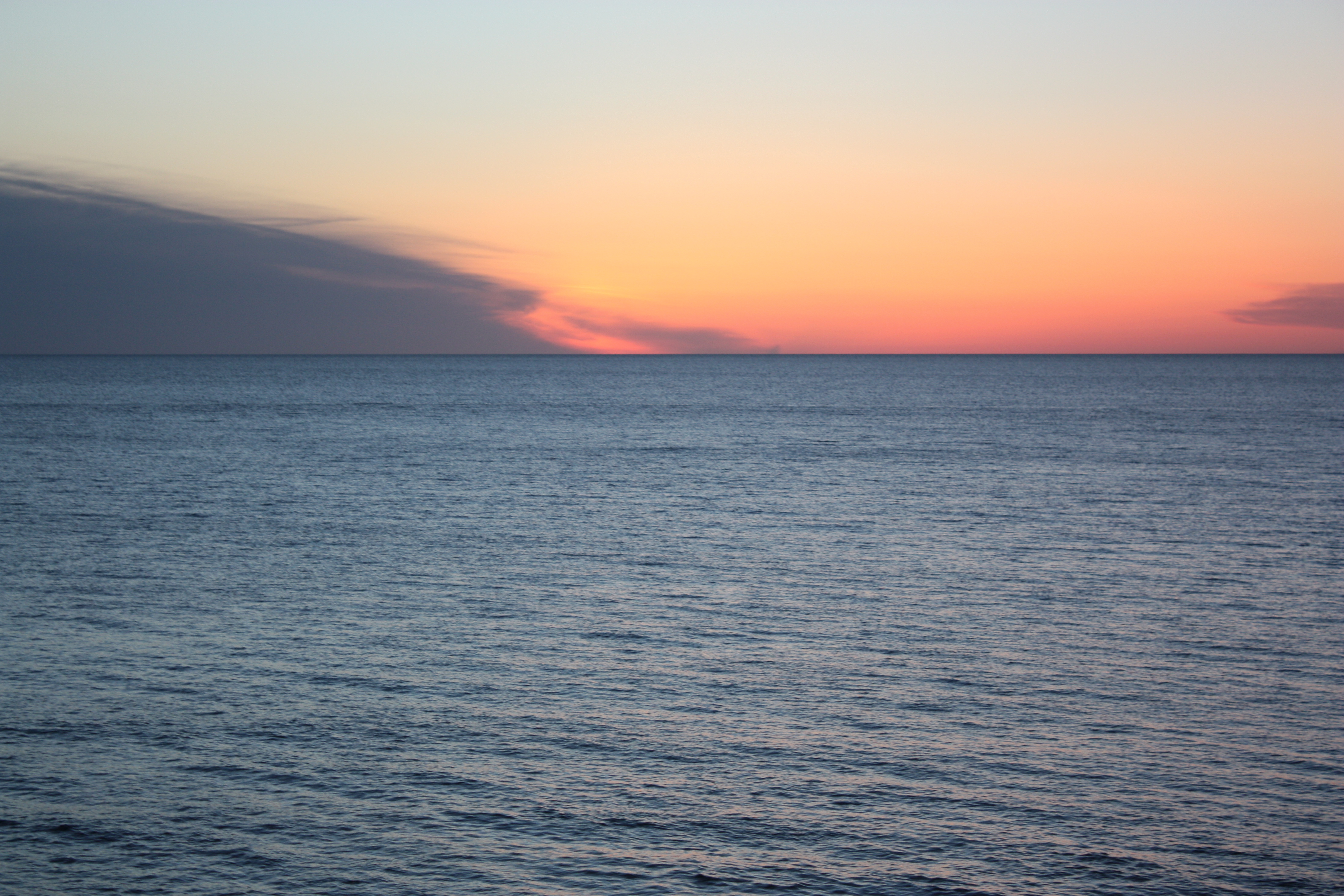
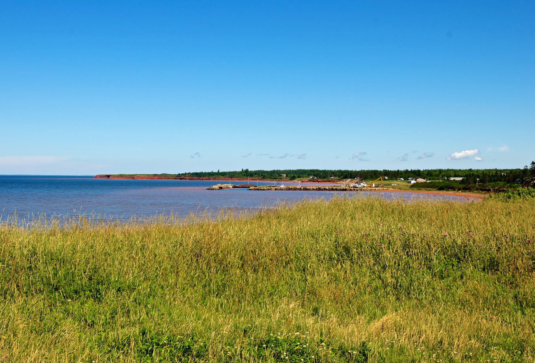
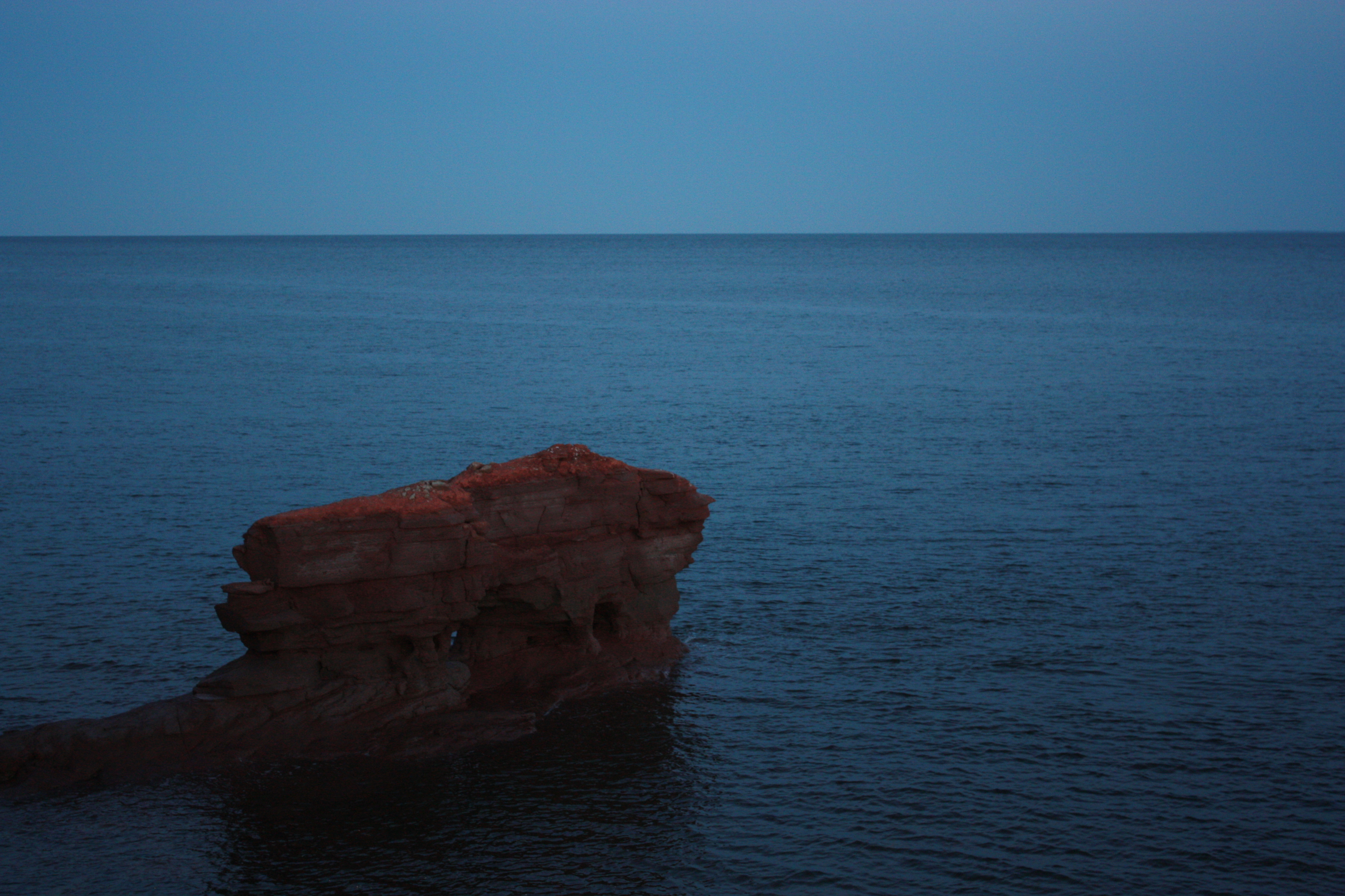
Cap-Egmont, PEI
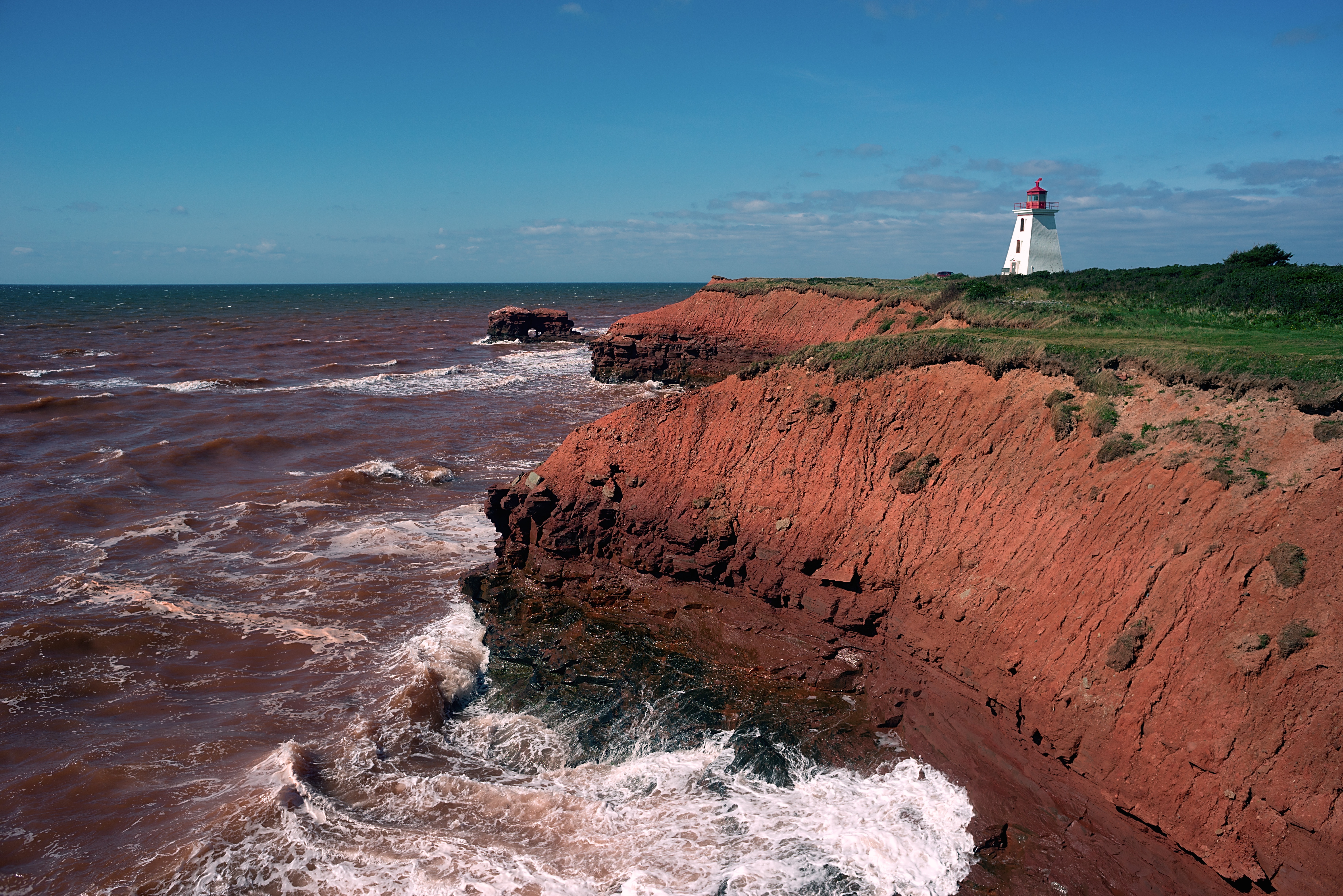
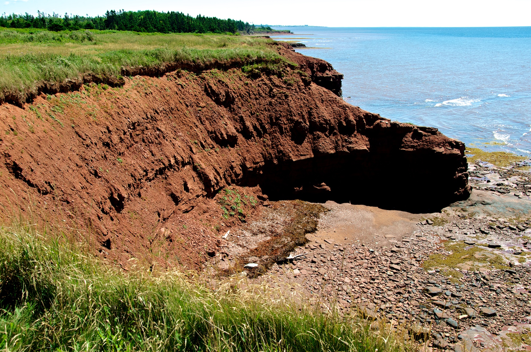
Sandstone cliffs at Cape Egmont
Summerside, PE
Prince Edward Island
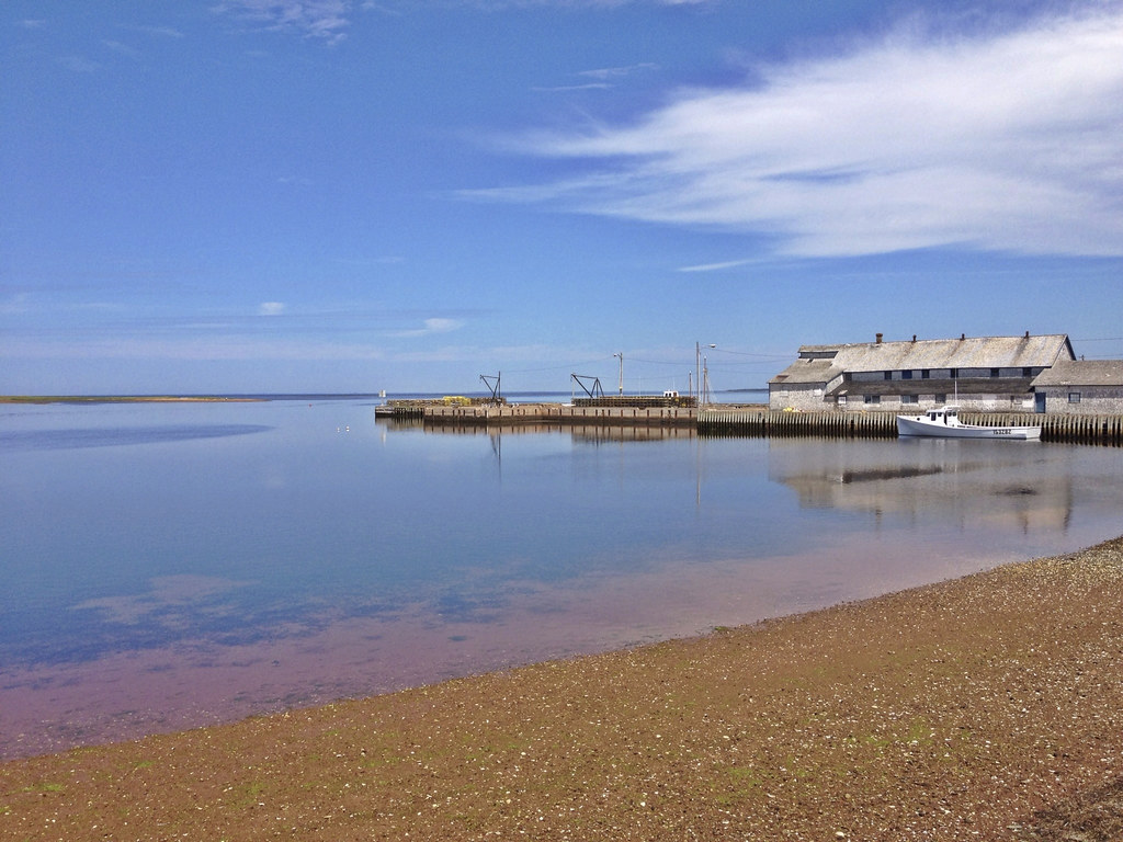
Lobster Factory

Cavendish Beach, Prince Edward Island, Canada

Bottle Houses, Cape Egmont, Prince Edward Island

Cape Egmont

Bottle Houses, Cape Egmont, Prince Edward Island

Bottle Houses, Cape Egmont, Prince Edward Island
PEI 2013
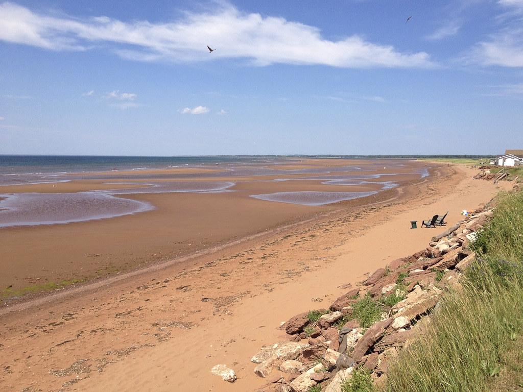
the beach @ low tide
Just north beyond the point at Cap Egmont
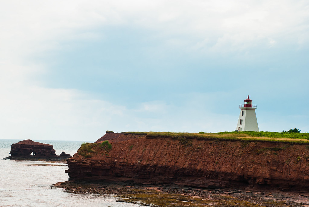
Lighthouse at Cape Egremont
Cap Egmont
2009 Trip - Prince Edward Island
130905-084856.jpg
2009 Trip - Prince Edward Island
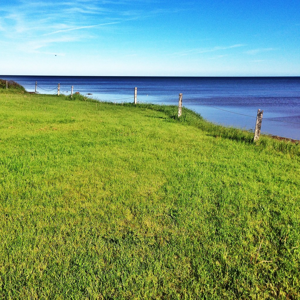
Cap-Egmont, PEI
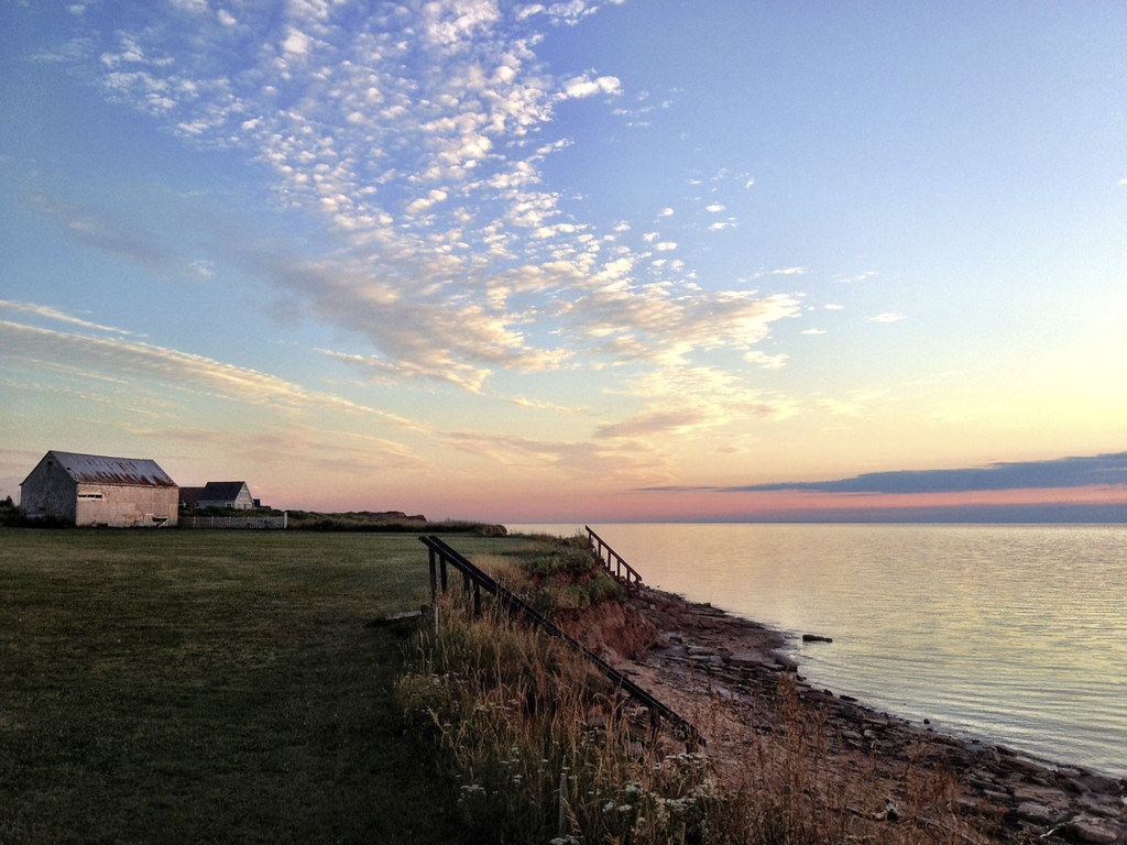
Cap-Egmont, PEI
Cap-Egmont, PEI
Cap-Egmont, PEI
Topographic Map of Lot 15, PE, Canada
Find elevation by address:

Places in Lot 15, PE, Canada:
Places near Lot 15, PE, Canada:
Mount Carmel
NB-, Cap-Pelé, NB E4N 1M1, Canada
Cap-pelé
112 Rue Robichaud
Sandy Beach Tent & Trailer Park
NB-, Grand-Barachois, NB E4P 8K3, Canada
NB-, Little Shemogue, NB E4M 2J8, Canada
Murray Corner
1975 Nb-133
Botsford
Lot 26
241 Cormier Village Rd
1663 Nb-133
1663 Nb-133
1663 Nb-133
Cormier Village Rd, Cormier-Village, NB E4P 5W3, Canada
74 Olscamp Ln, Bedeque, PE C0B 1C0, Canada
20 Des Perdrix Promenade
21 Des Perdrix Promenade
25 Ocean Breeze Dr
Recent Searches:
- Elevation of Badaber, Peshawar, Khyber Pakhtunkhwa, Pakistan
- Elevation of SE Heron Loop, Lincoln City, OR, USA
- Elevation of Slanický ostrov, 01 Námestovo, Slovakia
- Elevation of Spaceport America, Co Rd A, Truth or Consequences, NM, USA
- Elevation of Warwick, RI, USA
- Elevation of Fern Rd, Whitmore, CA, USA
- Elevation of 62 Abbey St, Marshfield, MA, USA
- Elevation of Fernwood, Bradenton, FL, USA
- Elevation of Felindre, Swansea SA5 7LU, UK
- Elevation of Leyte Industrial Development Estate, Isabel, Leyte, Philippines