Elevation of Lorraine, NY, USA
Location: United States > New York > Jefferson County > Lorraine >
Longitude: -75.959364
Latitude: 43.7664564
Elevation: 304m / 997feet
Barometric Pressure: 98KPa
Elevation Map:
Satellite Map:
Related Photos:

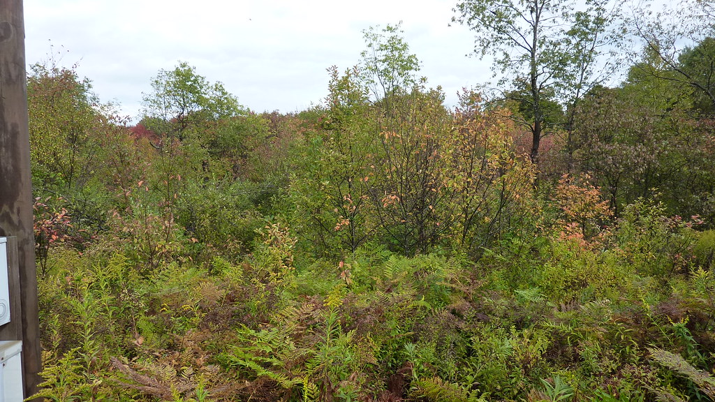
More Trees Blocking Views Into Gulf

Aug-0024

Pic-0024

Pic-0026
P1000060 View from potential building site at western edge of Lot 23dot07 CR 15 Boylston NY

Cold Air, Warm Hearts

Looking Up

Hiking on Timber Road

Swing Along Oak Ridge Trail

Looking Into Valley Above Gorge

Trying Out My New Backlit Flag

Walking Through Glacially Cut Ridge

Trees Along the Edge

Pic-0029

Right on Edge of the Gulf

East Into Gorge

Start of the Rim Trail

Walking Through Recently Thinned Forest

Into the Gorge

The Gulf

Gulf in Open Area Where Powerline Is

Peering Into the Gulf

Looking Into Inman Gulf

P1000028 Tagged tree line Eastern Edge Lot 23dot08 CR 15 Boylston NY

Talcott Falls
Topographic Map of Lorraine, NY, USA
Find elevation by address:

Places in Lorraine, NY, USA:
Places near Lorraine, NY, USA:
Lorraine
Marsh Rd, Adams, NY, USA
Boylston
757 County Rte 13
Mannsville
Smartville Rd, Lacona, NY, USA
1511 County Rte 15
365 New Scriba Dr
365 New Scriba Dr
Lacona
Harwood Dr, Lacona, NY, USA
83 Salisbury St
6-12
23 Salina St
112 New Scriba Dr
Ellisburg
Sandy Creek
Harwood Dr, Sandy Creek, NY, USA
Ellisburg
Main St, Ellisburg, NY, USA
Recent Searches:
- Elevation of Jadagoniai, Kaunas District Municipality, Lithuania
- Elevation of Pagonija rock, Kranto 7-oji g. 8"N, Kaunas, Lithuania
- Elevation of Co Rd 87, Jamestown, CO, USA
- Elevation of Tenjo, Cundinamarca, Colombia
- Elevation of Côte-des-Neiges, Montreal, QC H4A 3J6, Canada
- Elevation of Bobcat Dr, Helena, MT, USA
- Elevation of Zu den Ihlowbergen, Althüttendorf, Germany
- Elevation of Badaber, Peshawar, Khyber Pakhtunkhwa, Pakistan
- Elevation of SE Heron Loop, Lincoln City, OR, USA
- Elevation of Slanický ostrov, 01 Námestovo, Slovakia