Elevation of Lorne, NB E8G, Canada
Location: Canada > New Brunswick > Restigouche County > Durham >
Longitude: -66.126731
Latitude: 47.8736109
Elevation: 159m / 522feet
Barometric Pressure: 99KPa
Elevation Map:
Satellite Map:
Related Photos:

Screaming Skies

Chaleureuse Baie des Chaleur

Benjamin River Sunset
Summer Storms
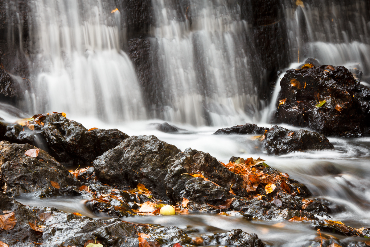
New Mills Falls 3

Benjamin River Evening

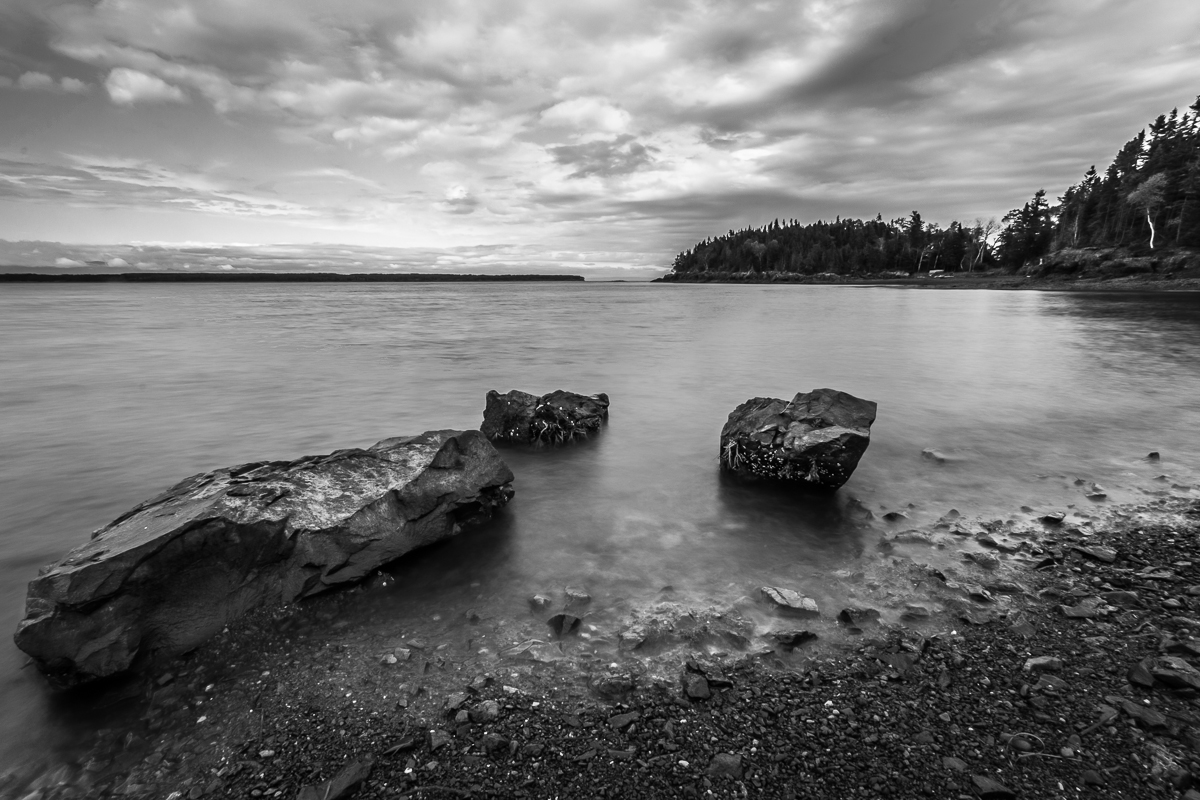
Benjamin River en blanc et noir

New Mills Falls 4

Morning After

New Mills Falls 2
Topographic Map of Lorne, NB E8G, Canada
Find elevation by address:

Places in Lorne, NB E8G, Canada:
Places near Lorne, NB E8G, Canada:
4 Lorne Rd, Lorne, NB E8G 1K1, Canada
844 Main St
NB-, Charlo, NB E8E 2H4, Canada
Charlo
Charlo Airport
Charlo South
Rue Bélanger
Saint-omer, Gaspésie–Îles-de-la-madeleine, Quebec
Carleton-sur-mer
Rue l'Anse, Eel River Crossing, NB E8E 1R5, Canada
Des Pionniers Ave, Balmoral, NB E8E 1E3, Canada
Dalhousie
526 Riverview St
Eel River Crossing
Balmoral
22 NB-, Dalhousie, NB E8E, Canada
77 Route de la Pointe à Fleurant, Escuminac, QC G0C 1N0, Canada
434 Nb-280
434 Nb-280
434 Nb-280
Recent Searches:
- Elevation of Warwick, RI, USA
- Elevation of Fern Rd, Whitmore, CA, USA
- Elevation of 62 Abbey St, Marshfield, MA, USA
- Elevation of Fernwood, Bradenton, FL, USA
- Elevation of Felindre, Swansea SA5 7LU, UK
- Elevation of Leyte Industrial Development Estate, Isabel, Leyte, Philippines
- Elevation of W Granada St, Tampa, FL, USA
- Elevation of Pykes Down, Ivybridge PL21 0BY, UK
- Elevation of Jalan Senandin, Lutong, Miri, Sarawak, Malaysia
- Elevation of Bilohirs'k