Elevation of Loretta Way, Union City, CA, USA

Location: United States > California > Alameda County > Union City >
Longitude: -122.07837

Latitude: 37.5784914

Elevation: 3m / 10feet

Barometric Pressure: 101KPa

Elevation Map:

elevation map of Loretta Way, Union City, CA, USA

Satellite Map:

Satellite map of Loretta Way, Union City, CA, USA

Related Photos:

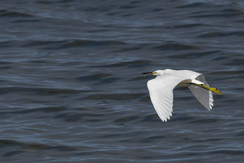
snowyegret mountainviewshoreline
Snowy Egret
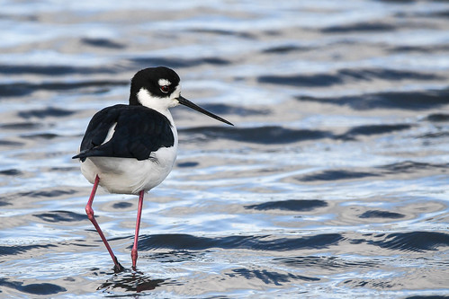
blackneckedstilt mountainviewshoreline caseyforebay
Black-necked Stilt
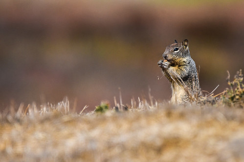
groundsquirrel mountainviewshoreline
California Ground Squirrel
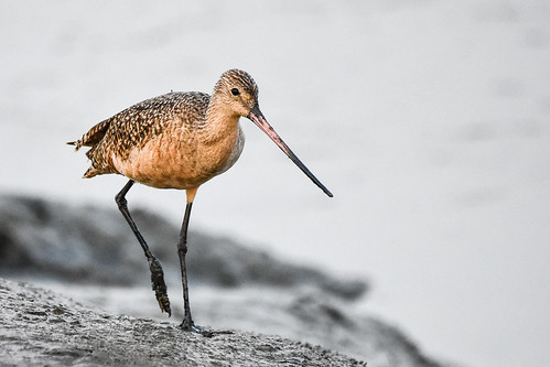
marbledgodwit shorelineatmountainview paloalto california unitedstates us
Marbled Godwit
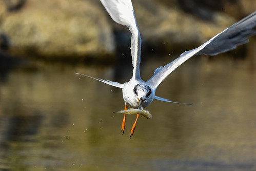
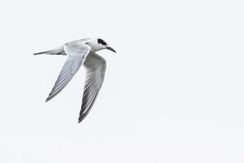
forsterstern shorelineatmountainview paloalto california unitedstates us
Proficient dive bomber - Forster's Tern
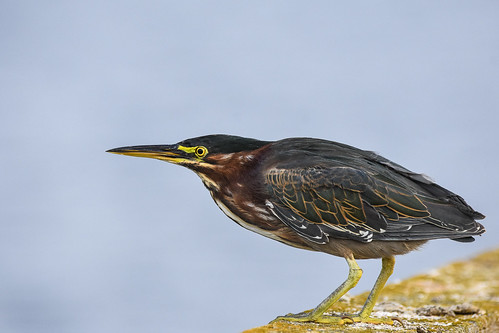
greenheron shorelineatmountainview paloalto california unitedstates us
Green Heron (1st summer)
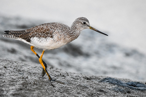
shorelineatmountainview greateryellowlegs paloalto california unitedstates us
Greater Yellowlegs
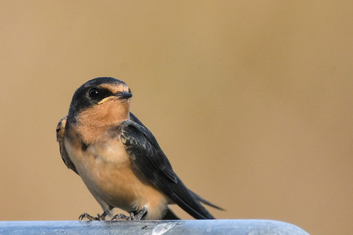
barnswallow shorelineatmountainview paloalto california unitedstates us
Barn Swallow (immature)
forsterstern shorelineatmountainview paloalto california unitedstates us
Forster's Tern
forsterstern shorelineatmountainview paloalto california unitedstates us
Forster's Tern (1st year)
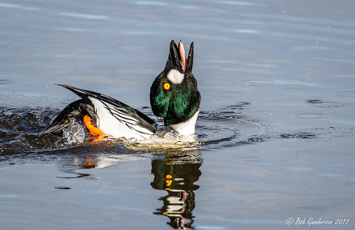
bucephalaclangula california commongoldeneye northerncalifornia santaclaracounty seaducks shorelinelake southbay
Common Goldeneye (m) - Courtship Display
oakland california eastbay alamedacounty july 2016 boury pbo31 nikon d810 over view dark night dusk city urban traffic lightstream motion color highway red 580 freeway expressway hillcrestknolls 150th overpass roadway black
150th avenue
anasplatyrbynchos birds california dabblingducks ducks mallards northerncalifornia santaclaracounty shorelinelake southbay
Mallard (f)
newark california unitedstatesofamerica birds nature northerncalifornia bayarea egret lakeshorepark
Mum’s Watchful Eye
birds bucephalaclangula california commongoldeneye divingducks ducks northerncalifornia santaclaracounty seaducks shorelinelake southbay
Common Goldeneye
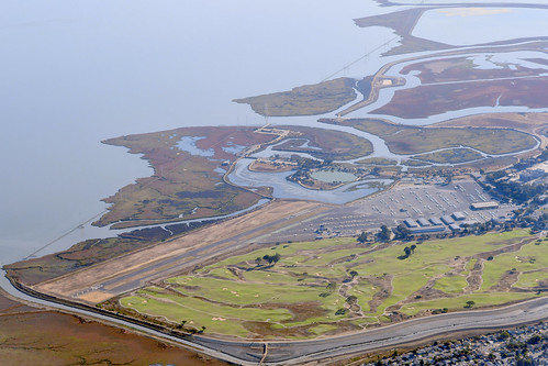
aerialphotograph nikkor nature paloaltoairport paloaltomunicipalgolfcourse duckpond baylandsnatureinterpretivecenter sanfranciscobay santaclaracounty sanmateocounty california eastpaloalto sanfrancisquitocreek paloalto aerial
Aerial view of Palo Alto Airport, Palo Alto Municipal Golf Course, the duck pond, the Baylands Nature Interpretive Center, and San Francisco Bay, Palo Alto, Santa Clara and San Mateo Counties, California.
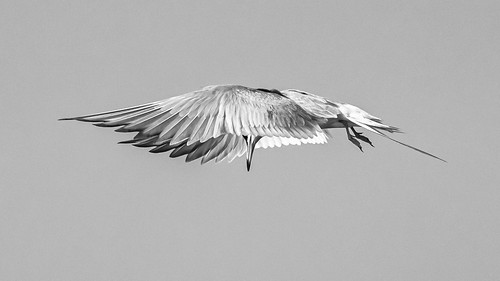
aerialwaterbirds birds california canoneos7dmarkii forsterstern northerncalifornia santaclaracounty shorelinelake southbay sternaforsteri terns paloalto unitedstatesofamerica
Forster's Tern
birds birdsofprey buteojamaicensis buteos california northerncalifornia redtailedhawk santaclaracounty shorelinelake southbay
Red-tailed Hawk - the push-off
mountainview california unitedstates
20200802-DSCF0956-0965-HUGIN-GIMP-C1
bucephalaclangula california commongoldeneye northerncalifornia santaclaracounty seaducks shorelinelake southbay
Common Goldeneye (m) - Courtship Display
forsterstern sternaforsteri shorelinelake
Forster's tern (Sterna forsteri) making a steep right turn, showing off its flight feathers
canon5dsr sunrise colour clouds sky landscape water reflection california usa outdoors nature dawn
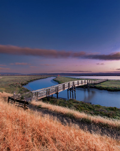
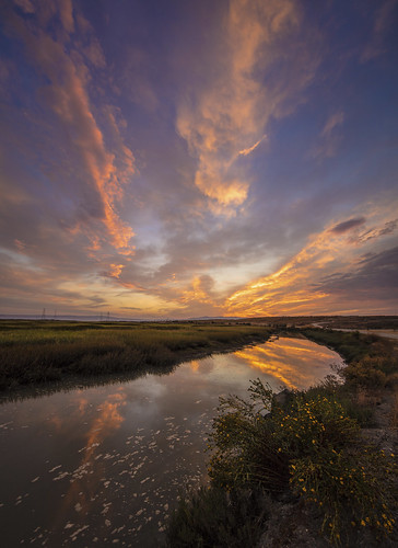
Baylands Sunrise
ebparksok
Lake Chabot
ebparksok
rain and sun alternating
ebparksok
Hayward Regional Shoreline
ebparksok
Lake Chabot
ebparksok
Lake Chabot
california us unitedstates fremont coyotehillsregionalpark
Dry lake bed (California's drought)
ebparksok
Lake Chabot
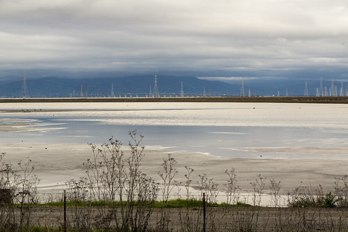
city bridge storm water rain clouds bay harbor san francisco power cloudy gray explore rainy rainstorm redwood pylons explored day29366 29jan16 366the2016edition 3662016 4b4a9329
29/2016 - The Redwood City Weather Forecast
Black and blue baylands
ebparksok
Garin Regional Park
Baylands Inlet
simontsegay
Vivid Whispers
birds clouds sunrise reflections dawn bay san francisco peaceful estuary 100views palo alto baylands 7505 7506 vertorama
My Sunrise Place
coyotehillsregionalpark fremont california ebparksok ch
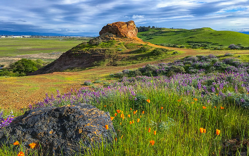
Poppies, Lupines and Rocks
menlopark california unitedstates oldfashioned flickrfriday
20180908-DSCF4428
ca flower field clouds landscape cloudy hill bluesky fremont hills sanfranciscobayarea greenery eastbay willows coyotehills fremontca eastbayregionalparks cloudseastbay
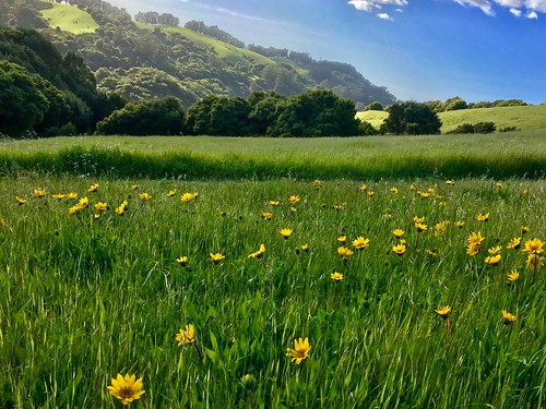
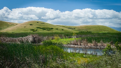
A Spring Day in Coyote Hills
california coyotehillsregionalpreserve fremont pond unitedstates water clouds wetlands marsh landscape
Coyote Hills Regional Preserve
ca california cloud clouds cloudseastbay coyotehills eastbay eastbayregionalparks fremontca landscape marsh marshland sanfranciscobayarea water wildlife winter
Coyoto Hils Marsh No3
newark california unitedstates us don edwards wildlife refuge south san francisco bay
Don Edwards Wildlife Refuge
canon5dsr landscape sunrise sky clouds water reflection usa california outdoors nature dawn morning
Bay Area Sunrise