Elevation of Loreburn, SK S0H, Canada
Location: Canada > Saskatchewan > Division No. 11 > Loreburn No. 254 >
Longitude: -106.59854
Latitude: 51.2300764
Elevation: 616m / 2021feet
Barometric Pressure: 94KPa
Elevation Map:
Satellite Map:
Related Photos:

Saskatchewan: Elbow View Trail
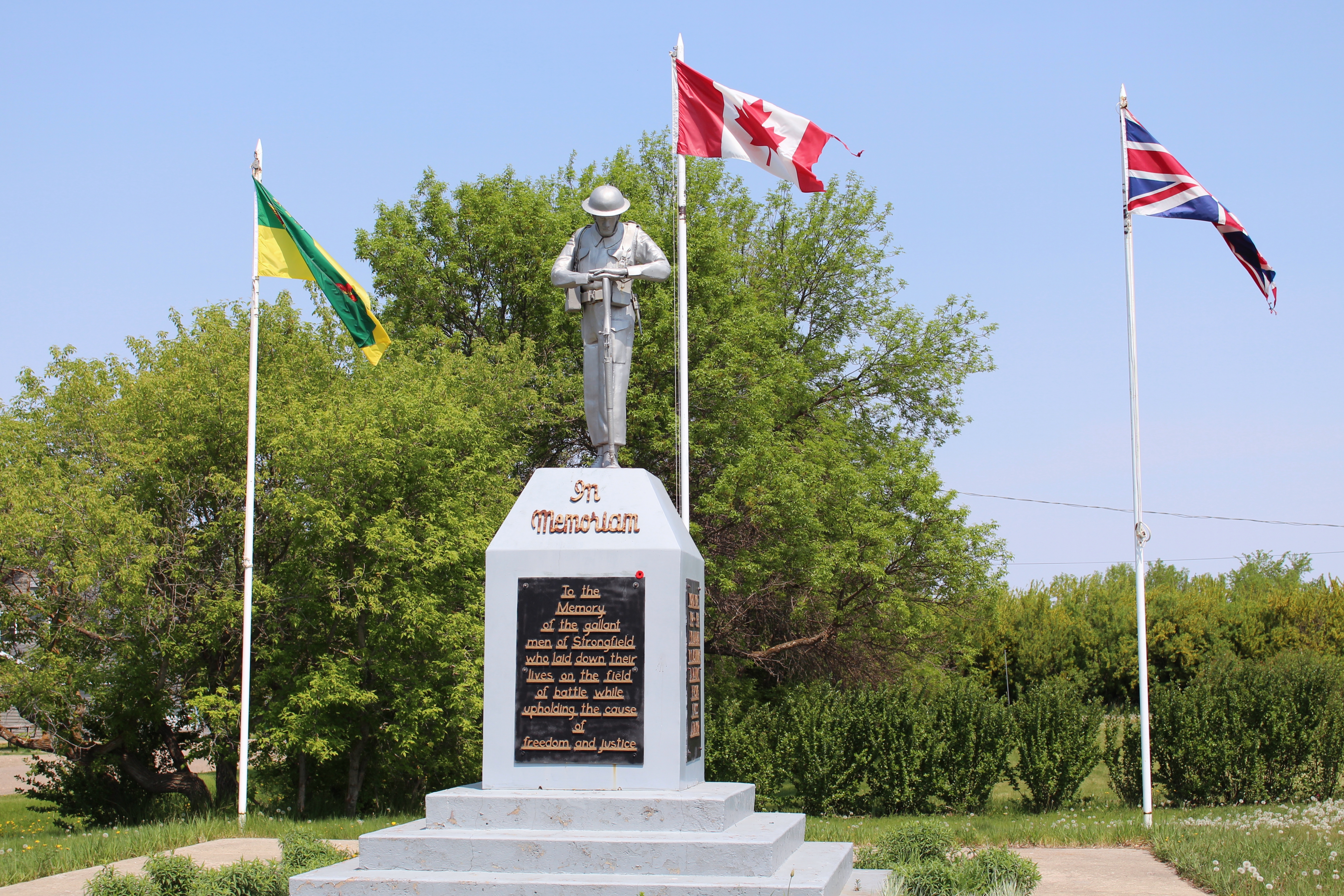
Strongfield Cenotaph (Strongfield, Saskatchewan)
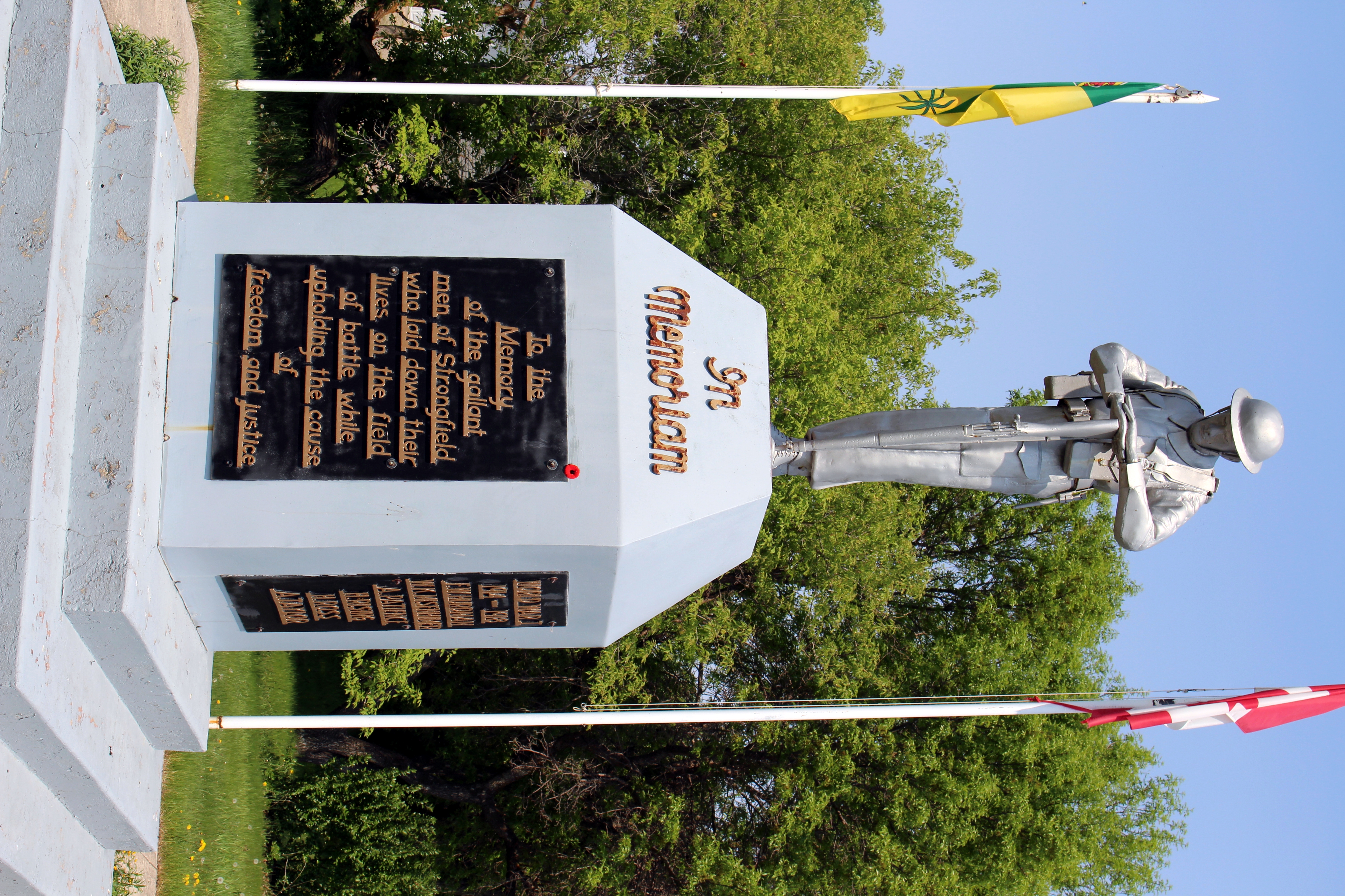
Strongfield Cenotaph (Strongfield, Saskatchewan)
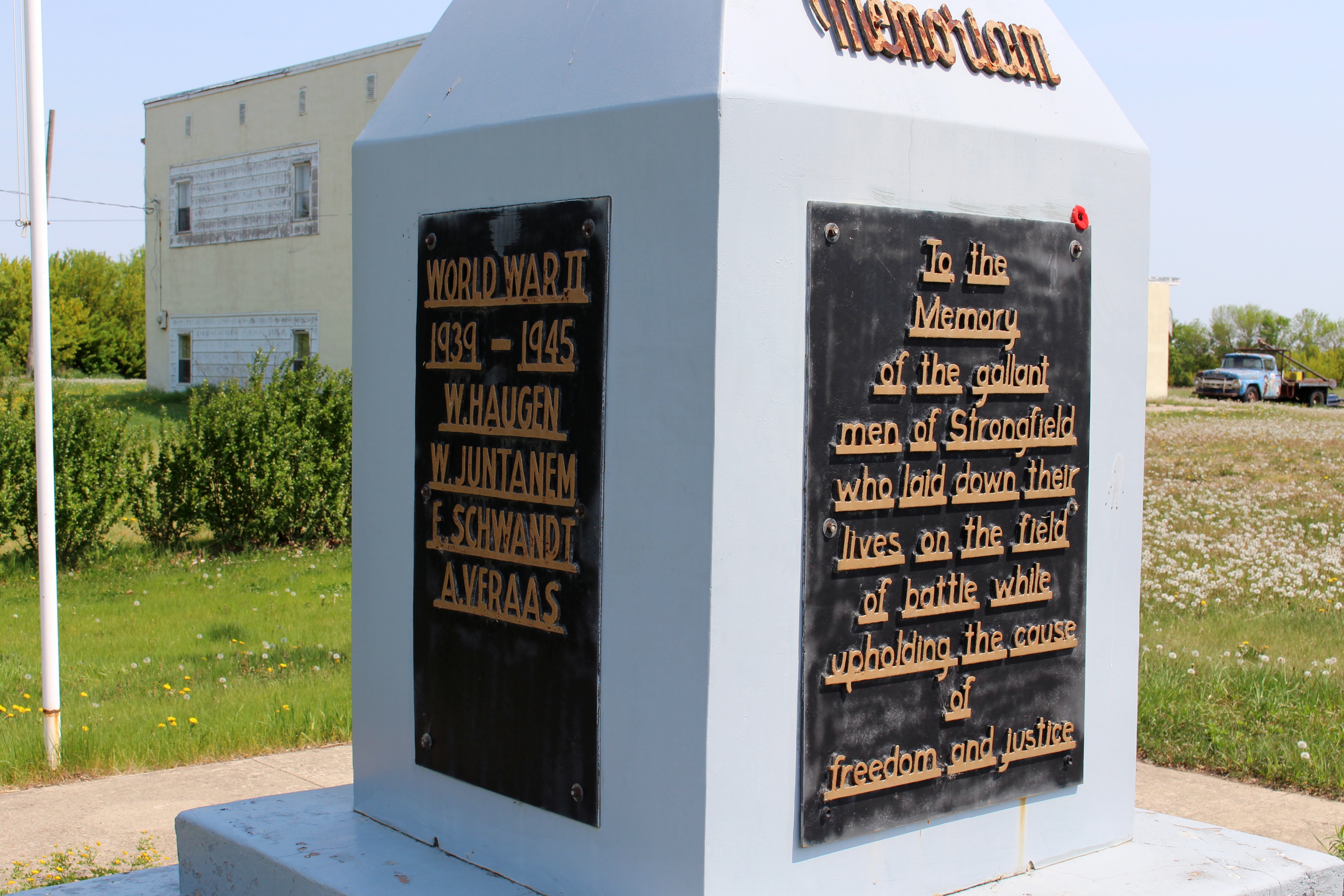
Strongfield Cenotaph (Strongfield, Saskatchewan)
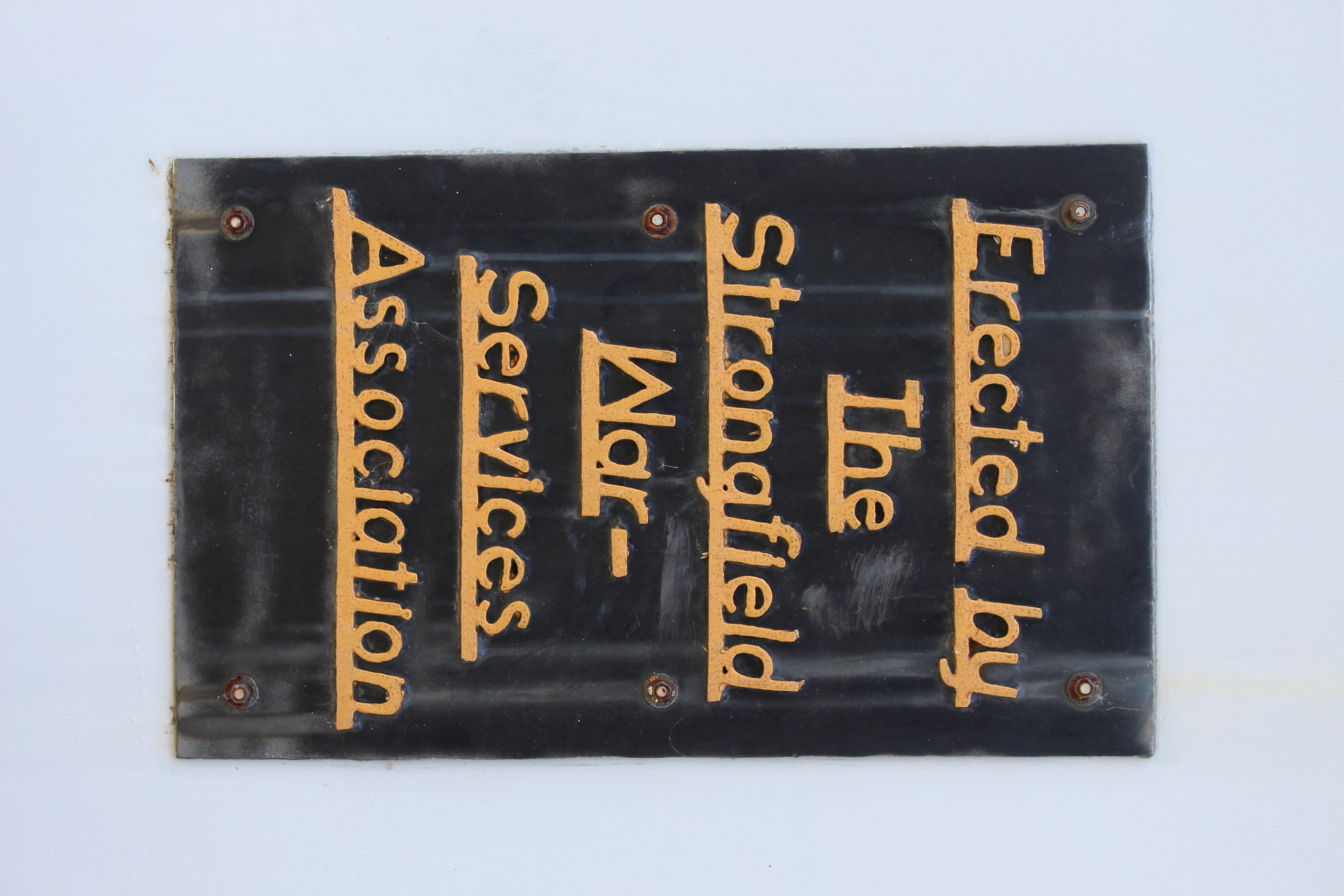
Strongfield Cenotaph (Strongfield, Saskatchewan)
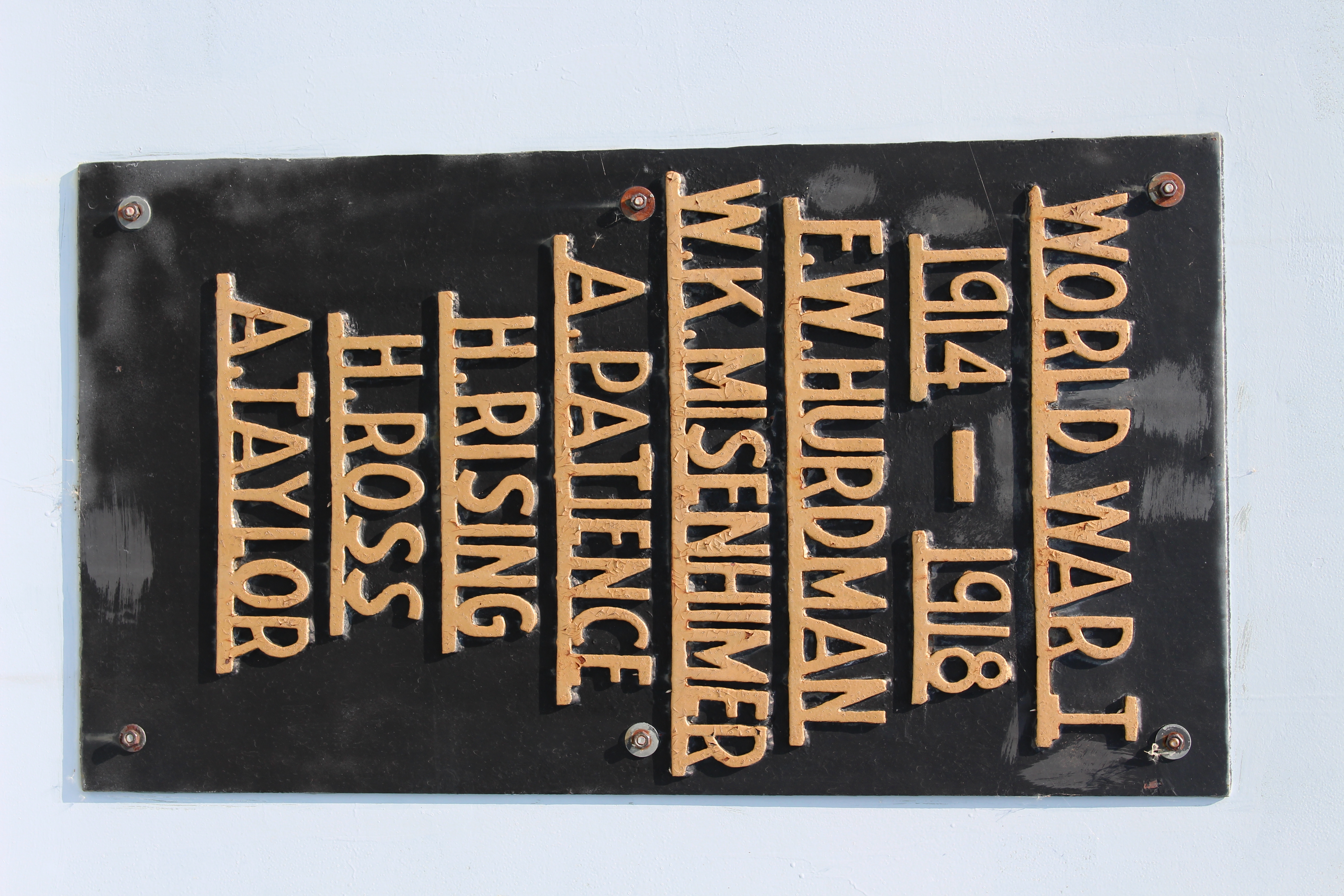
Strongfield Cenotaph (Strongfield, Saskatchewan)
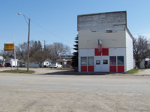
SK10d152 Flatlander & May's, Elbow Saskatchewan 2010
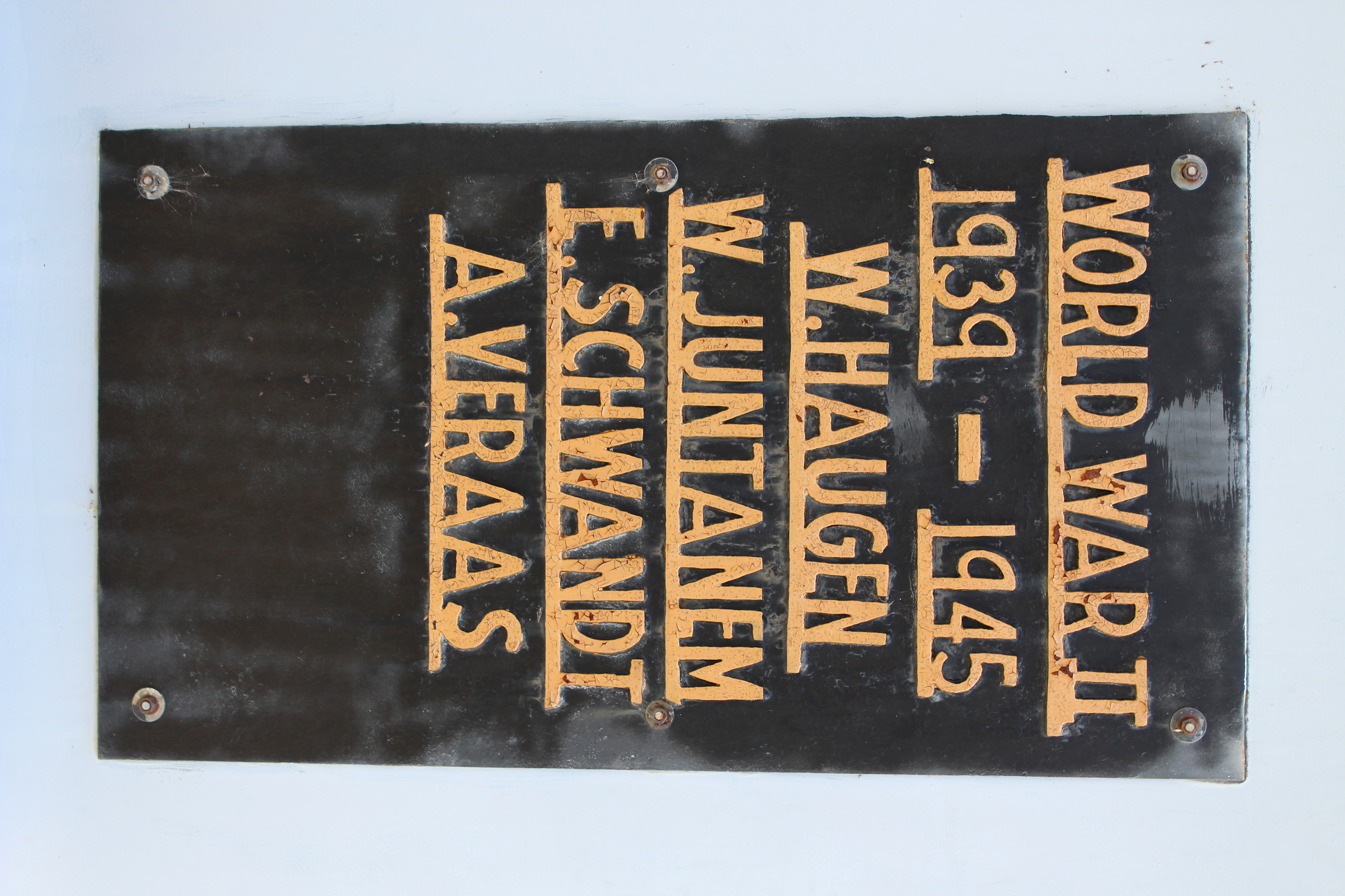
Strongfield Cenotaph (Strongfield, Saskatchewan)
2013-08-04 15.14.37_Snapseed
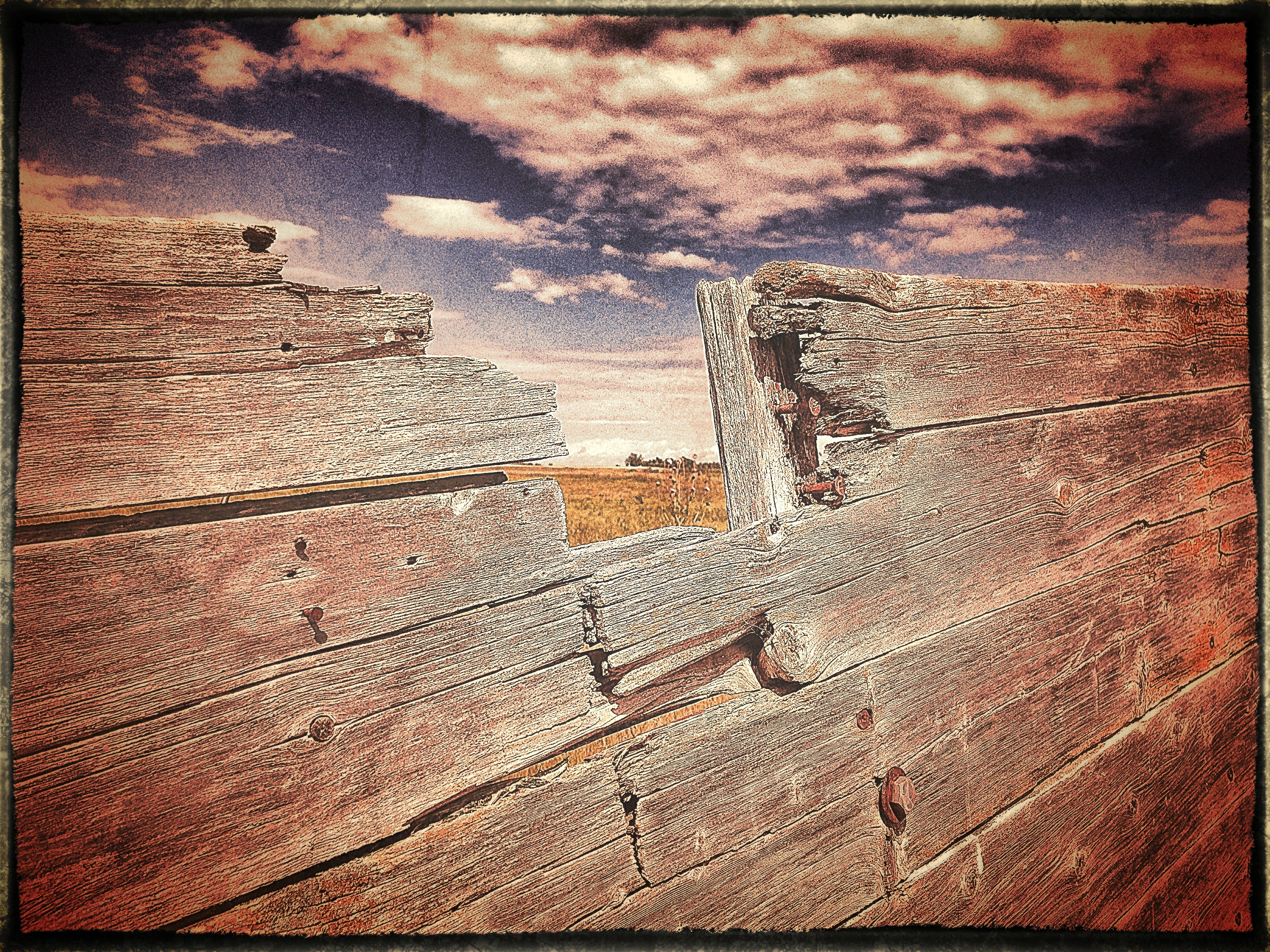
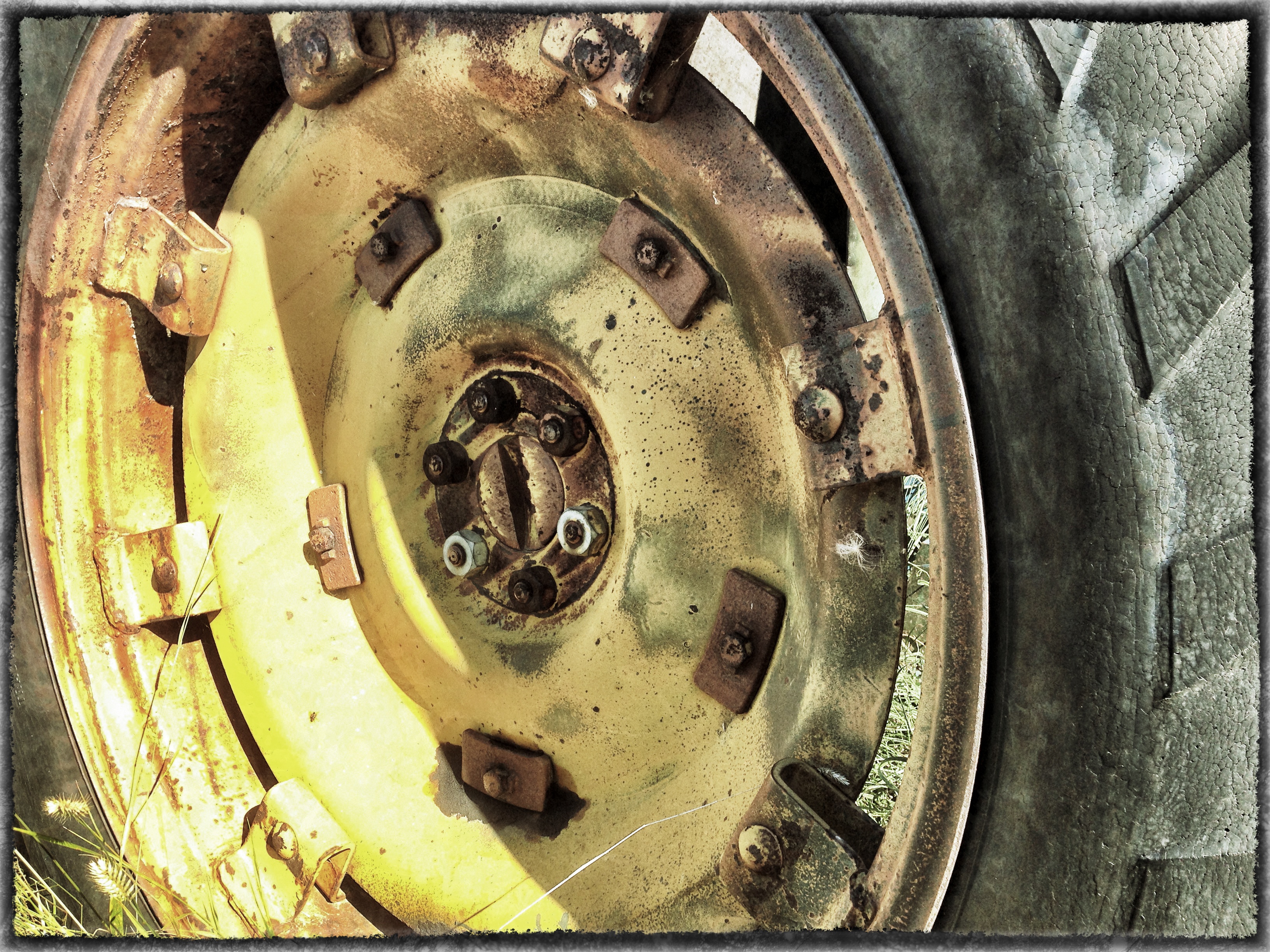
Years of Weather
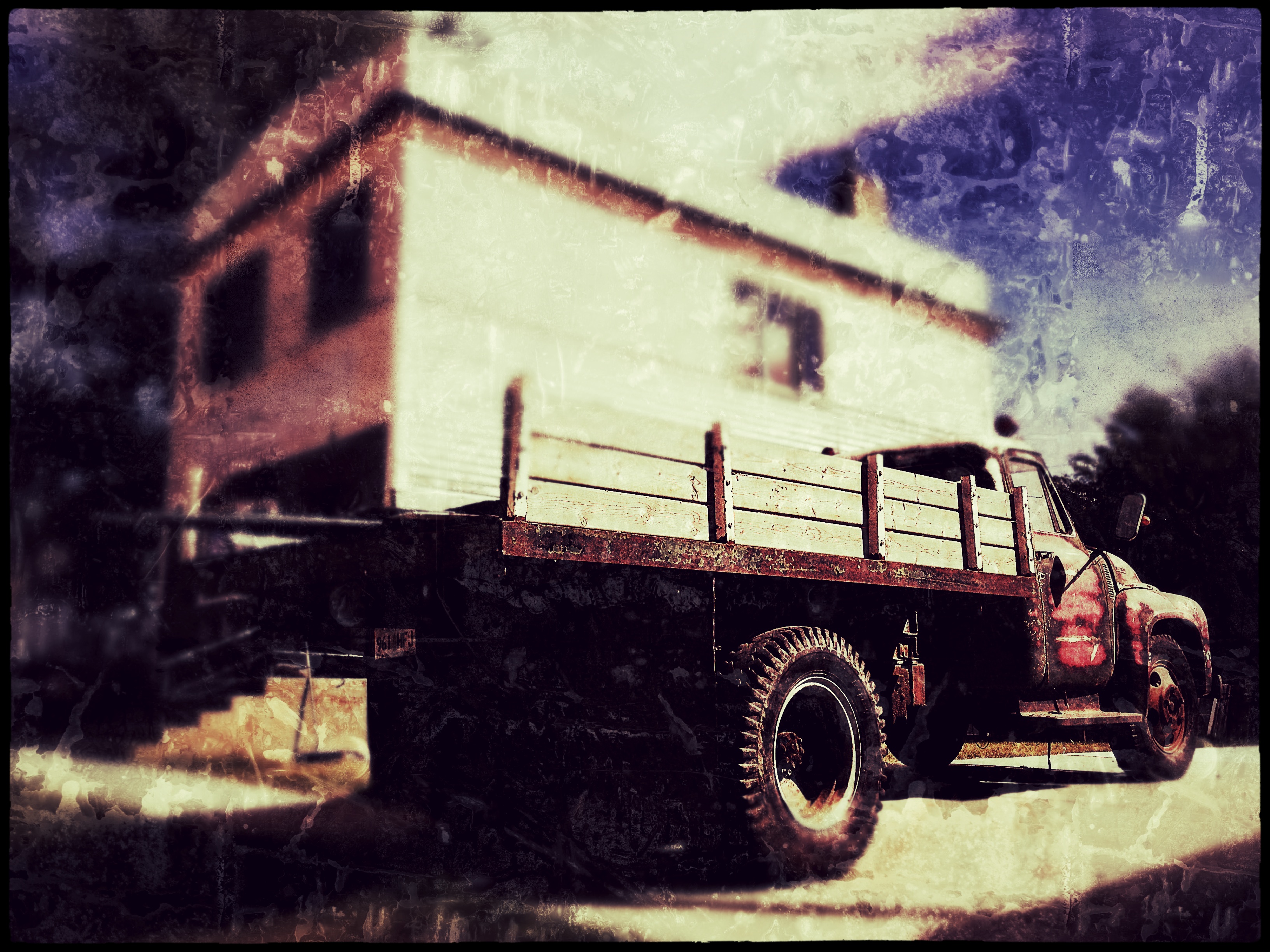
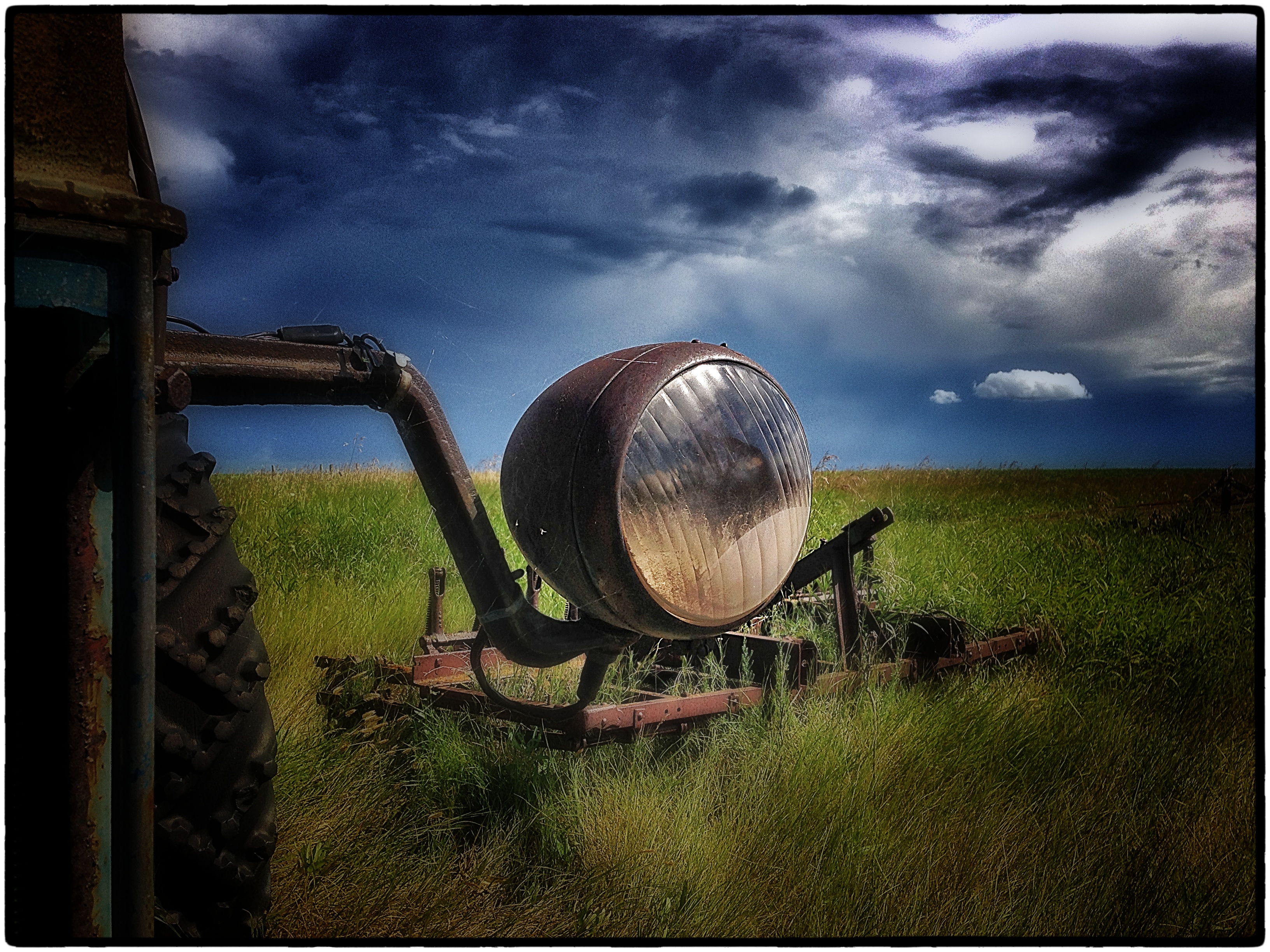
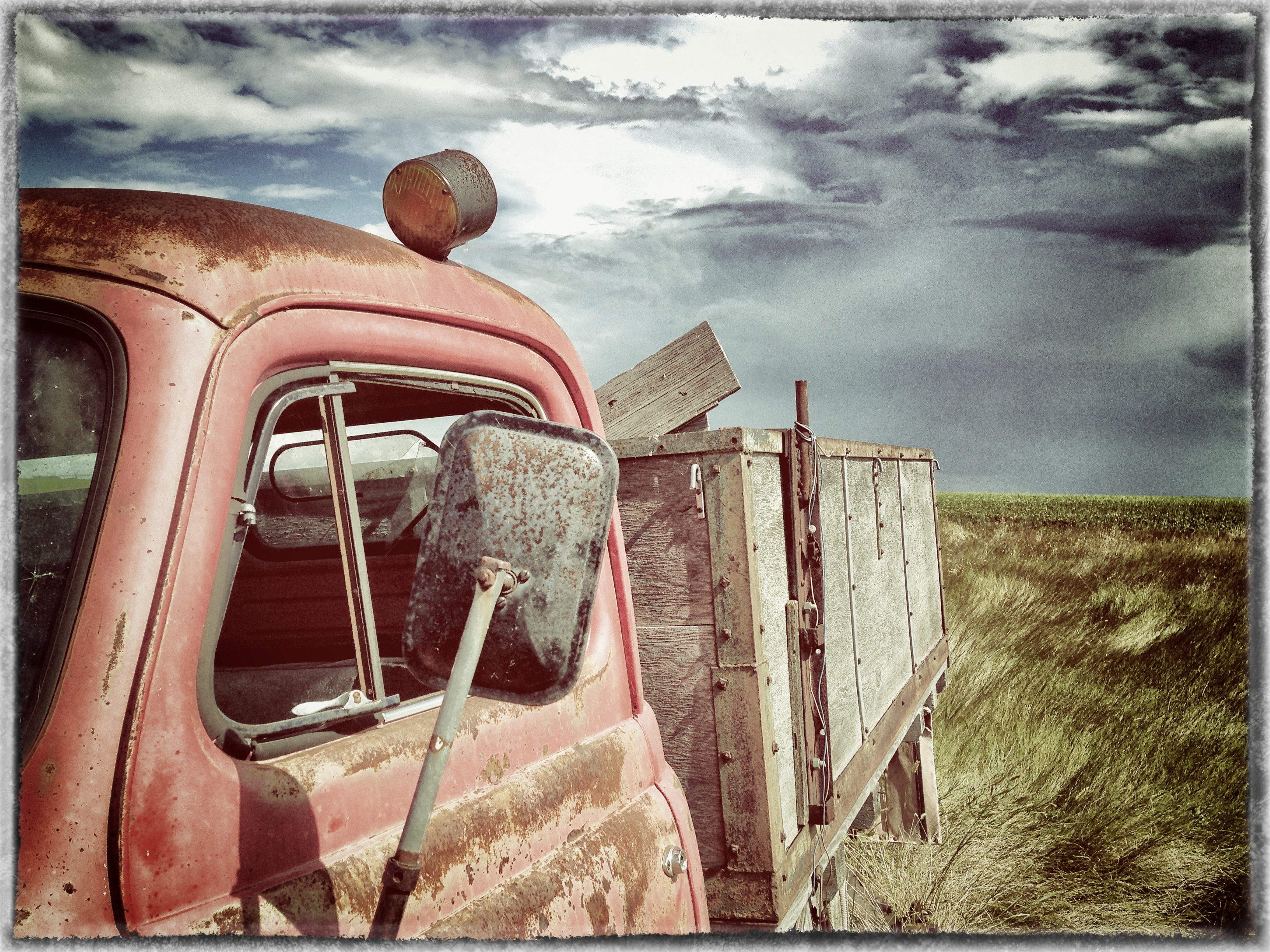
Old Truck...Still Working
Maple Bush No. 224-20111014-00521_Snapseed
Maple Bush No. 224-20111014-00515_Snapseed

Cliff Edge
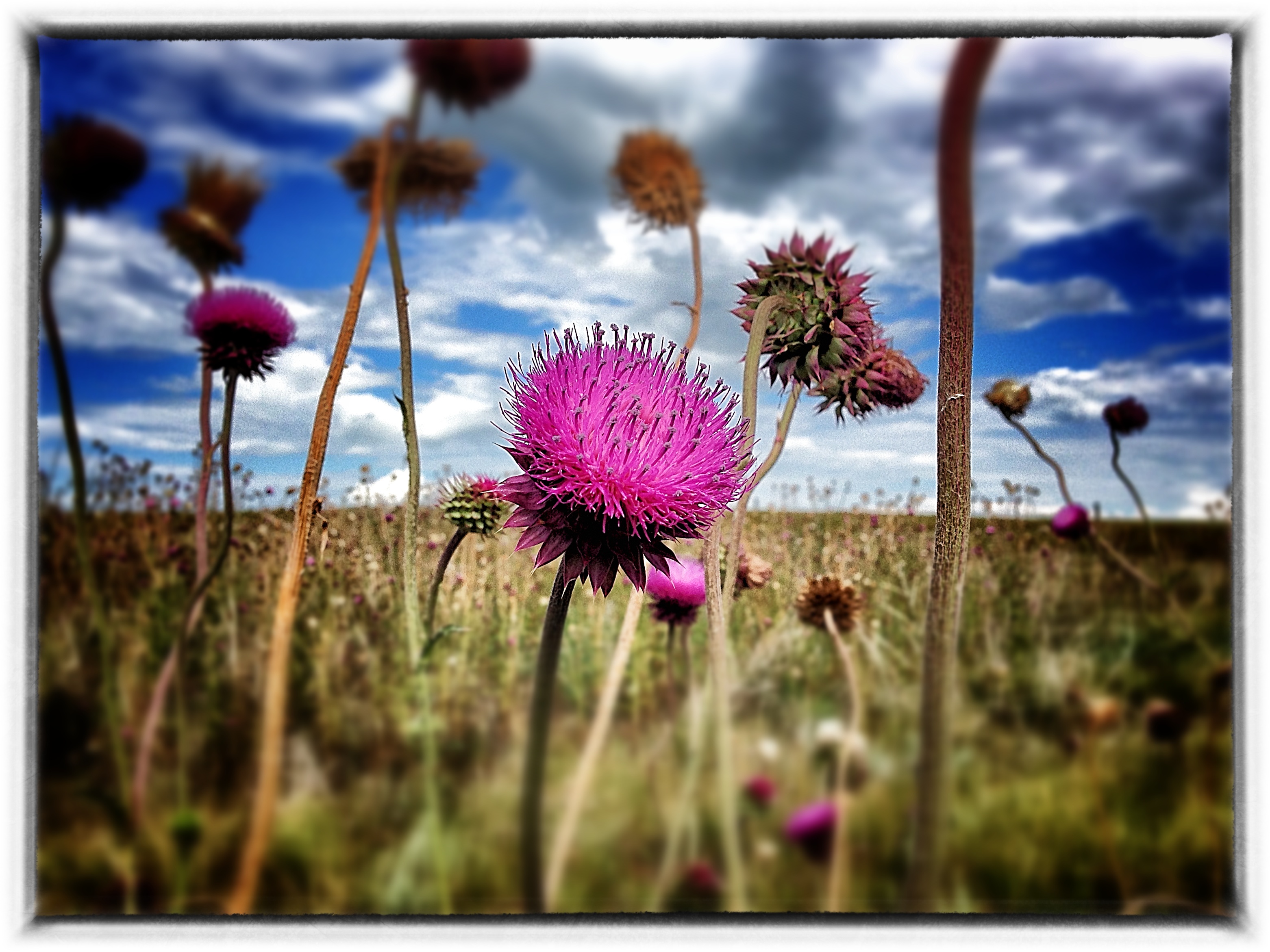
2013-08-09 09.37.44_Snapseed
2013-08-04 14.54.07_Snapseed
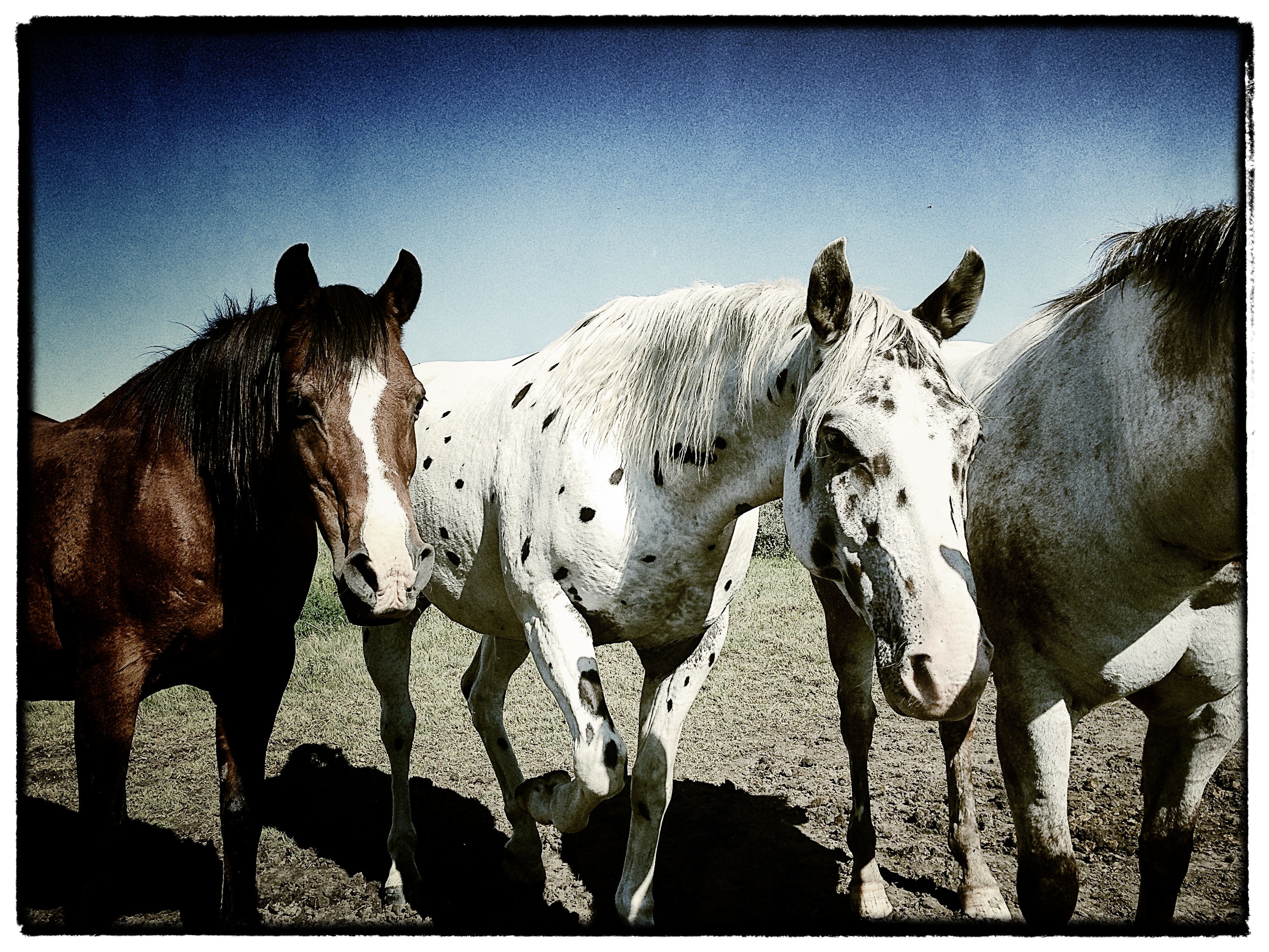
Three Amigos
Inclement Skies

Laid to Rest 2

Grilled 2

Dark and Moody
Topographic Map of Loreburn, SK S0H, Canada
Find elevation by address:

Places near Loreburn, SK S0H, Canada:
Loreburn No. 254
Minto St, Elbow, SK S0H 1J0, Canada
Elbow
Glenside Post Office
Glenside
419 Railway Ave
Glenside Cemetery
Kenaston
4th St, Kenaston, SK S0G 2N0, Canada
Lincoln St, Hanley, SK S0G 2E0, Canada
Central Butte
Bladworth
32 6th St, Bladworth, SK S0G 0J0, Canada
Enfield No. 194
Thunder Creek
13 Summerfeldt Dr, Dundurn, SK S0K 1K0, Canada
Thode
S0k 1k0
Eyebrow
Assiniboia St, Eyebrow, SK S0H 1L0, Canada
Recent Searches:
- Elevation of Pykes Down, Ivybridge PL21 0BY, UK
- Elevation of Jalan Senandin, Lutong, Miri, Sarawak, Malaysia
- Elevation of Bilohirs'k
- Elevation of 30 Oak Lawn Dr, Barkhamsted, CT, USA
- Elevation of Luther Road, Luther Rd, Auburn, CA, USA
- Elevation of Unnamed Road, Respublika Severnaya Osetiya — Alaniya, Russia
- Elevation of Verkhny Fiagdon, North Ossetia–Alania Republic, Russia
- Elevation of F. Viola Hiway, San Rafael, Bulacan, Philippines
- Elevation of Herbage Dr, Gulfport, MS, USA
- Elevation of Lilac Cir, Haldimand, ON N3W 2G9, Canada