Elevation of Loop Ln, Melrose, FL, USA
Location: United States > Florida > Putnam County > Melrose >
Longitude: -81.96437
Latitude: 29.7438491
Elevation: 35m / 115feet
Barometric Pressure: 101KPa
Elevation Map:
Satellite Map:
Related Photos:
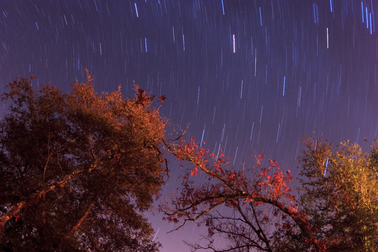
Star Trails - Gold Head Branch State Park

Lake View Hotel-Smith House Interlachen FL
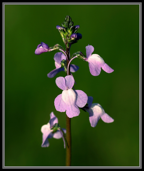
Linaria canadensis
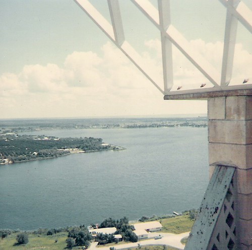
Lake Brooklyn from atop fire tower

House Wren (Troglodytes aedon)
View from the Cabin

Brown Thrasher (Toxostoma rufum)

Grandpa's toy room
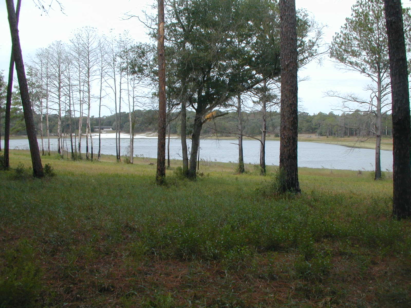
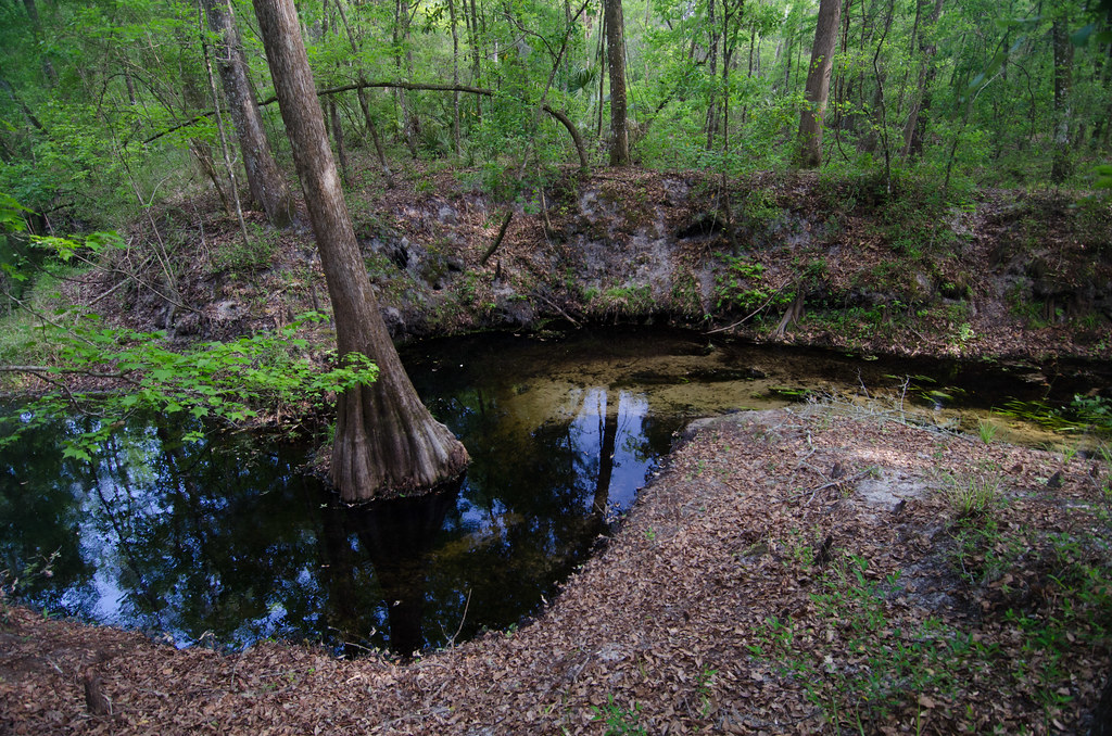
Gold Head Branch

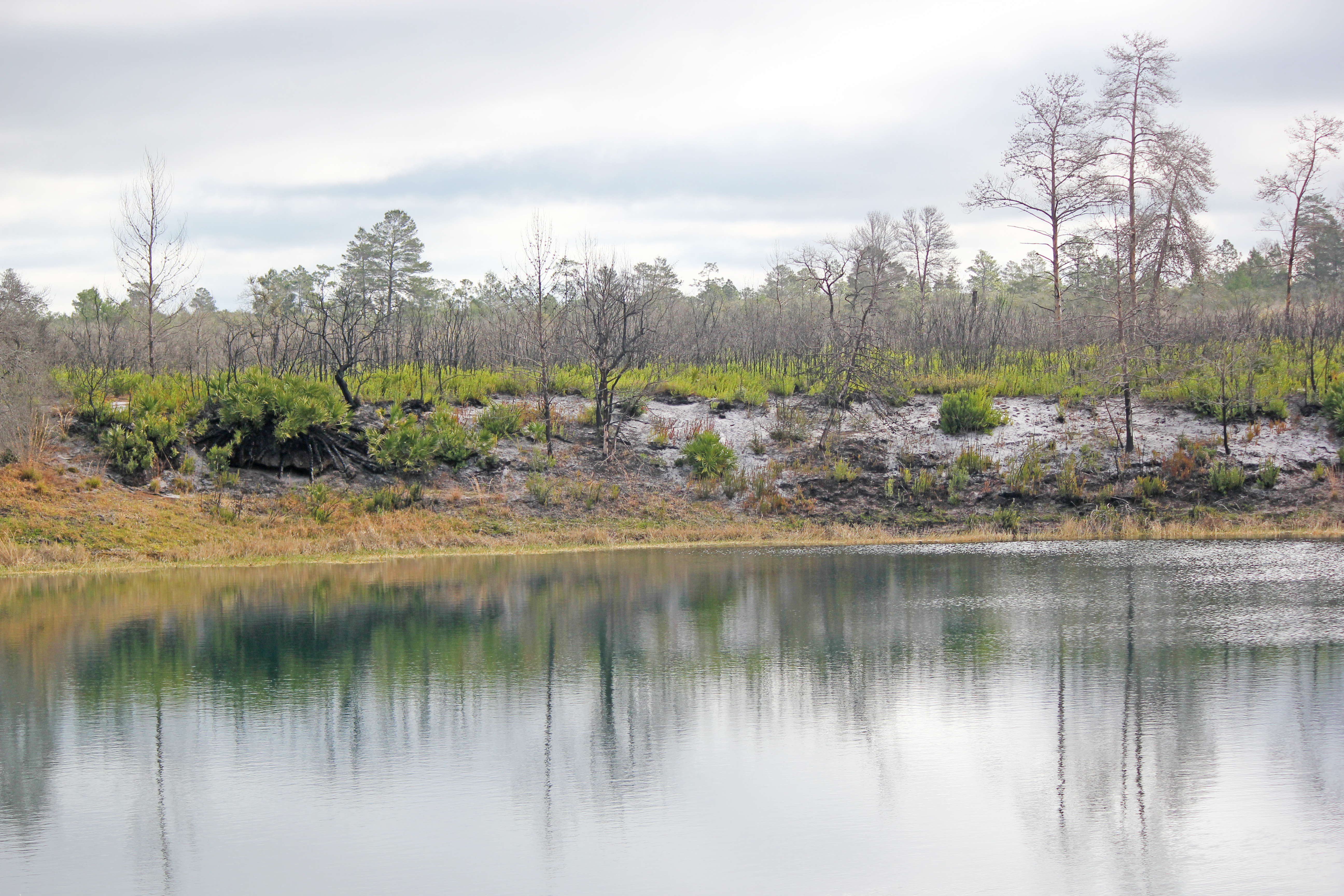
Little Lake Johnson, once part of Big Lake Johnson, Mike Roess Goldhead Branch State Park, Putnam County, Florida 1

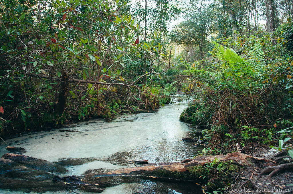
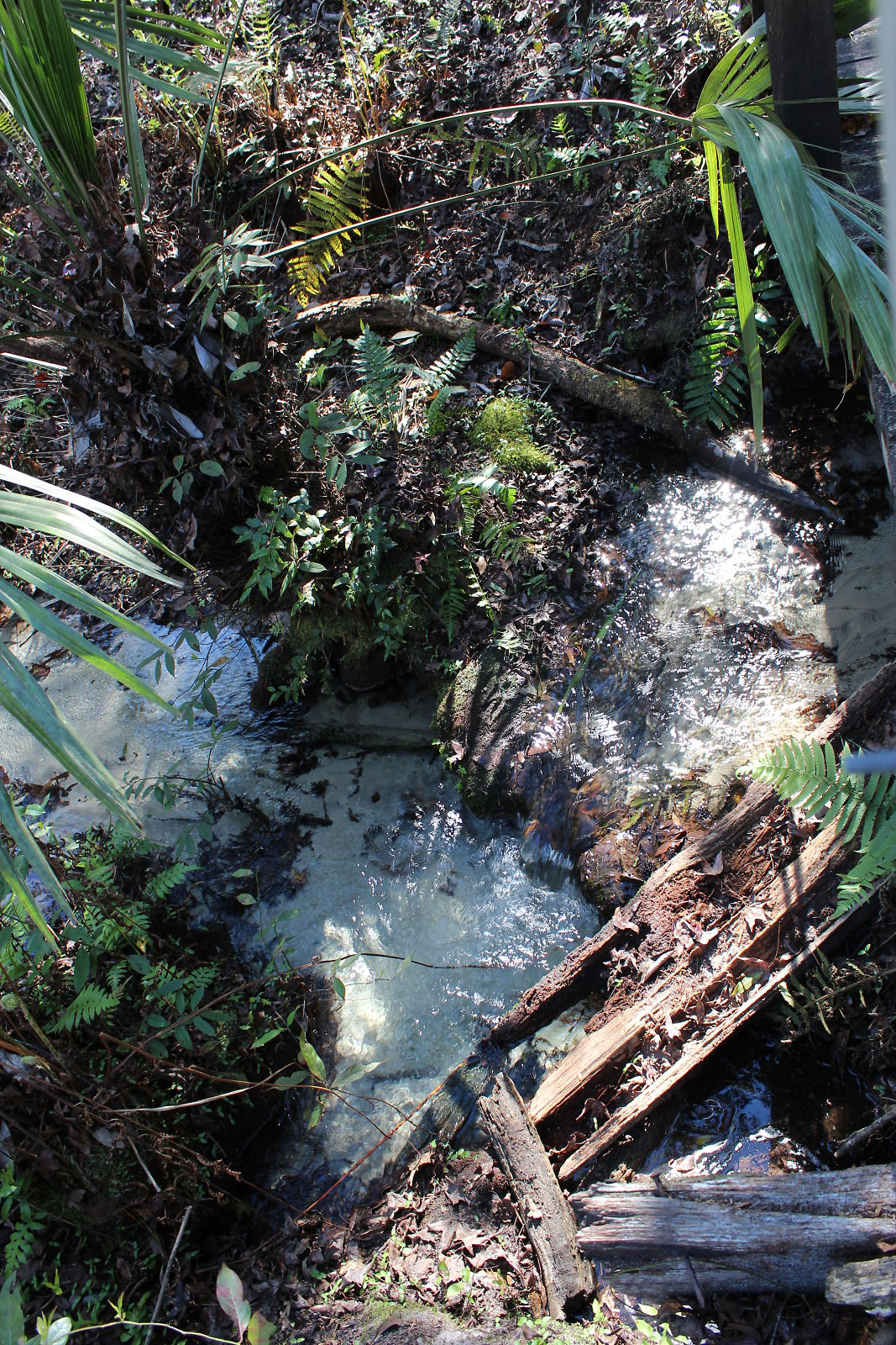
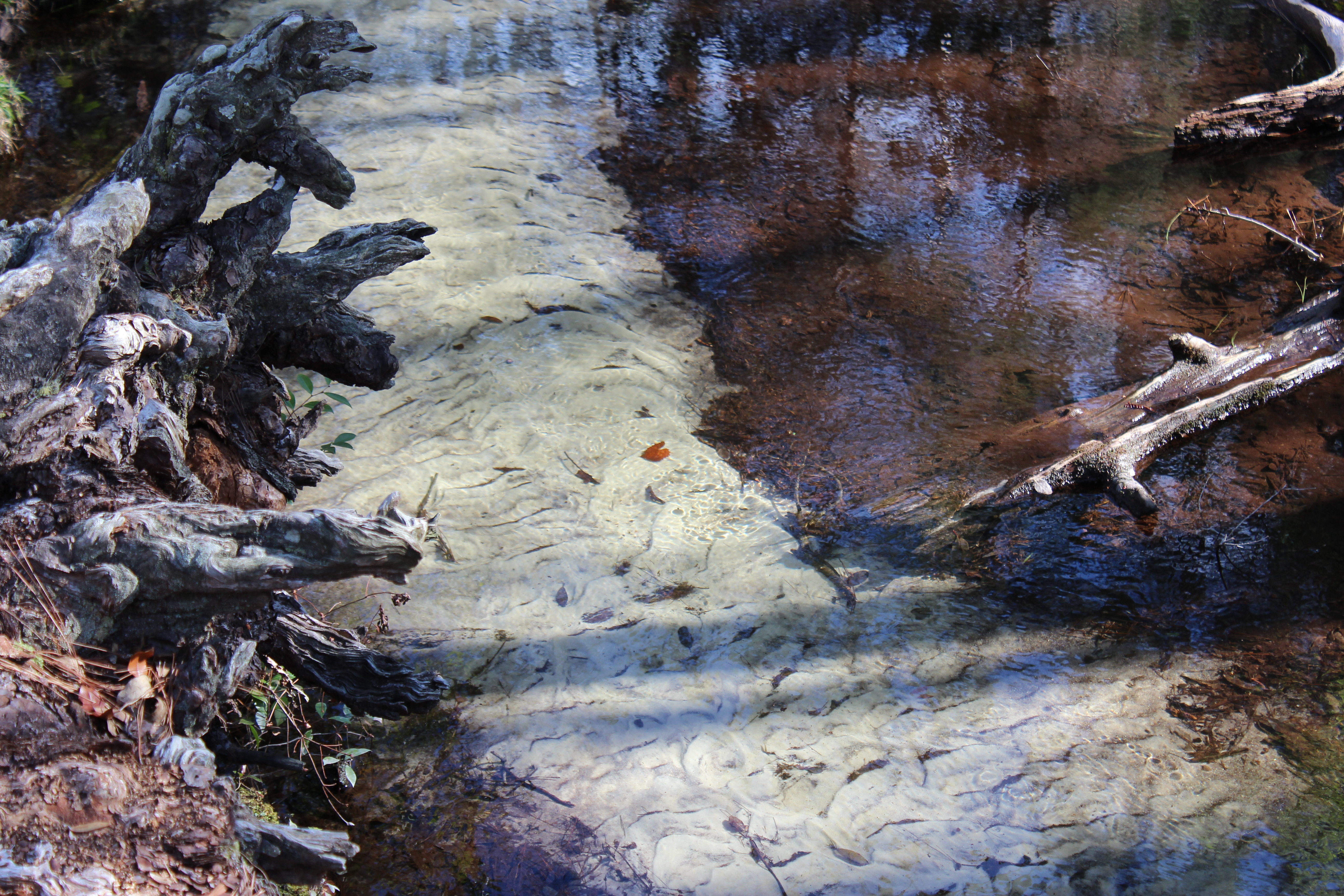
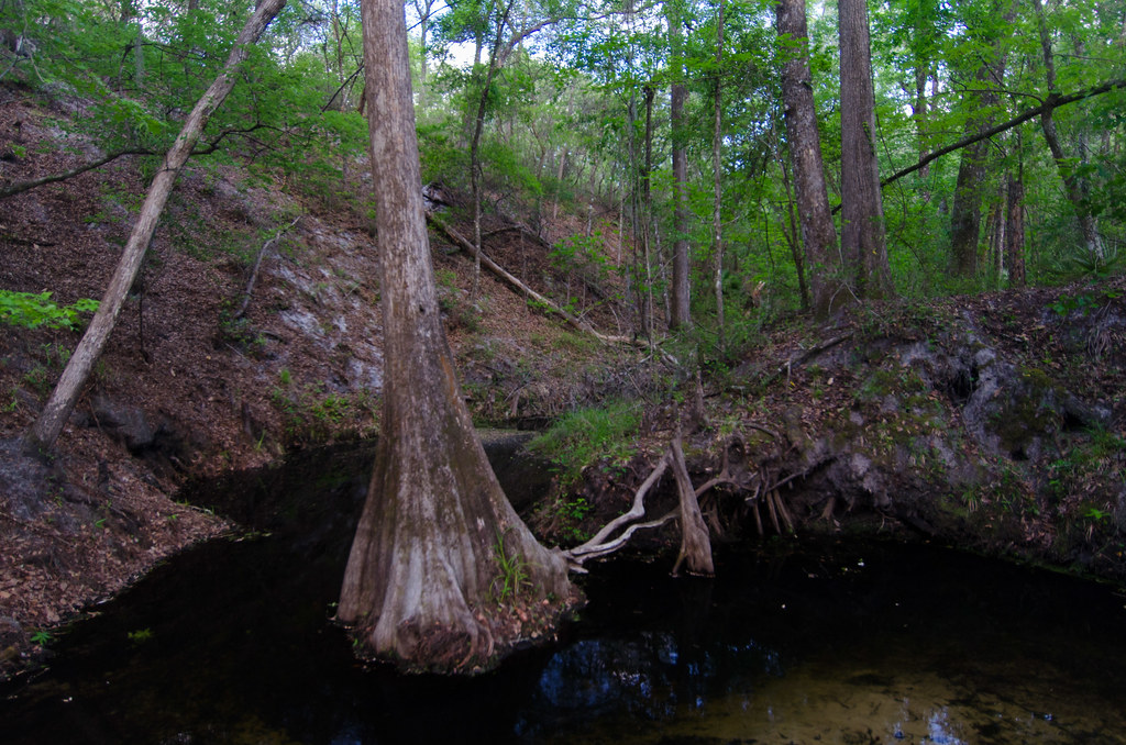
Etoniah Creek State Forest
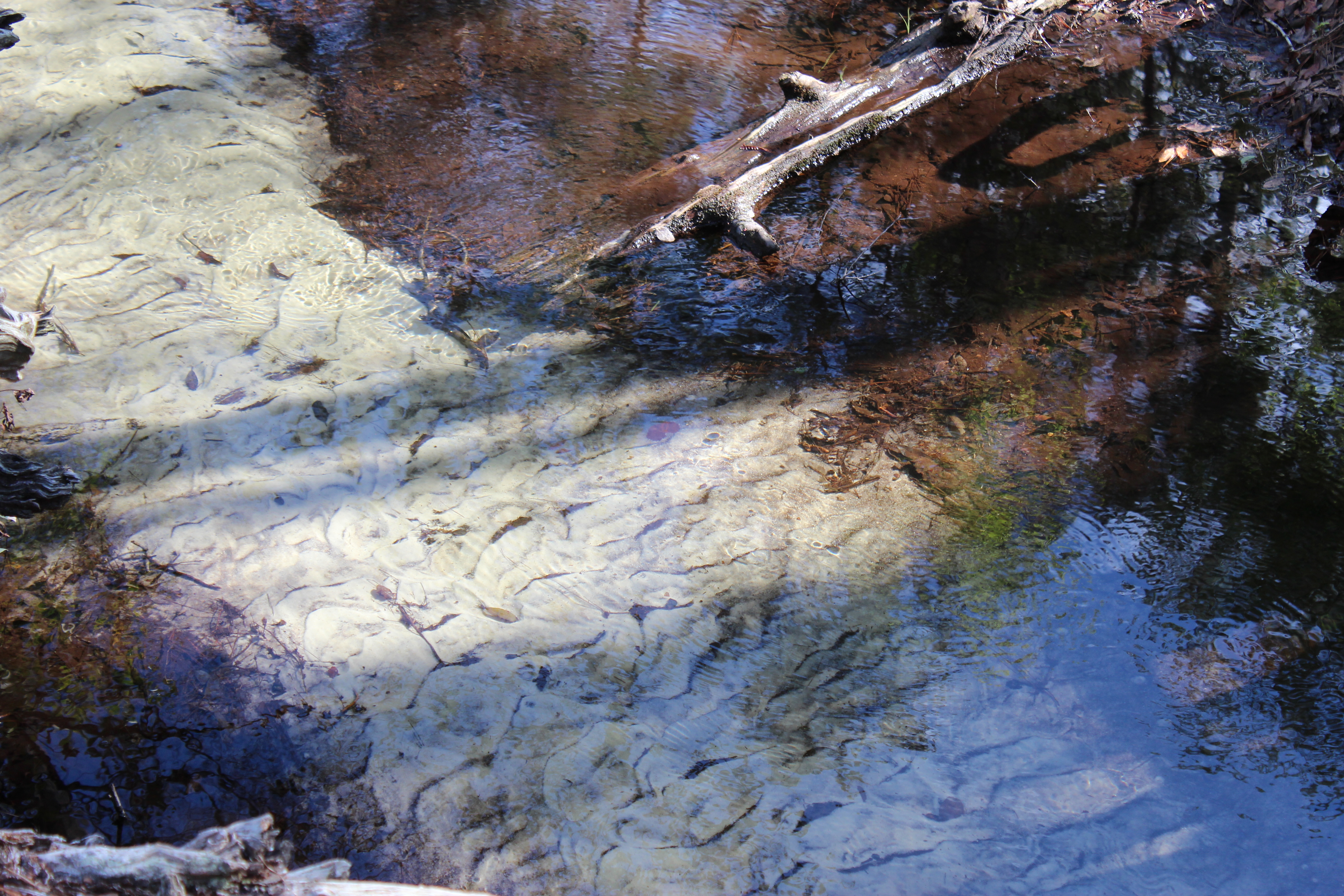
Devil's Washbasin

Florida paradise
IMG_2171.JPG
IMG_2222.JPG

Spanish moss in the oaks
Etoniah Creek State Forest

Etoniah Creek State Forest
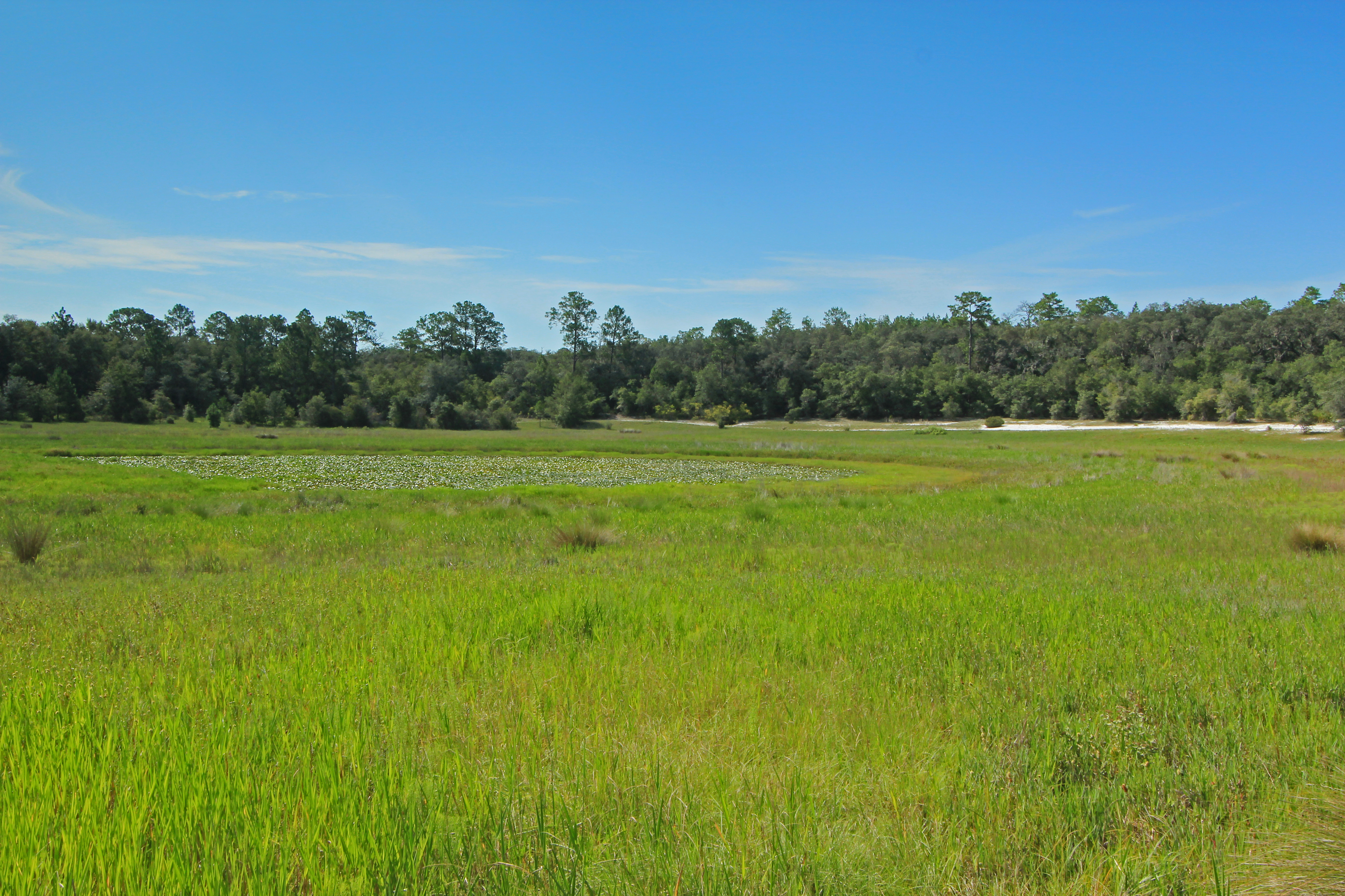
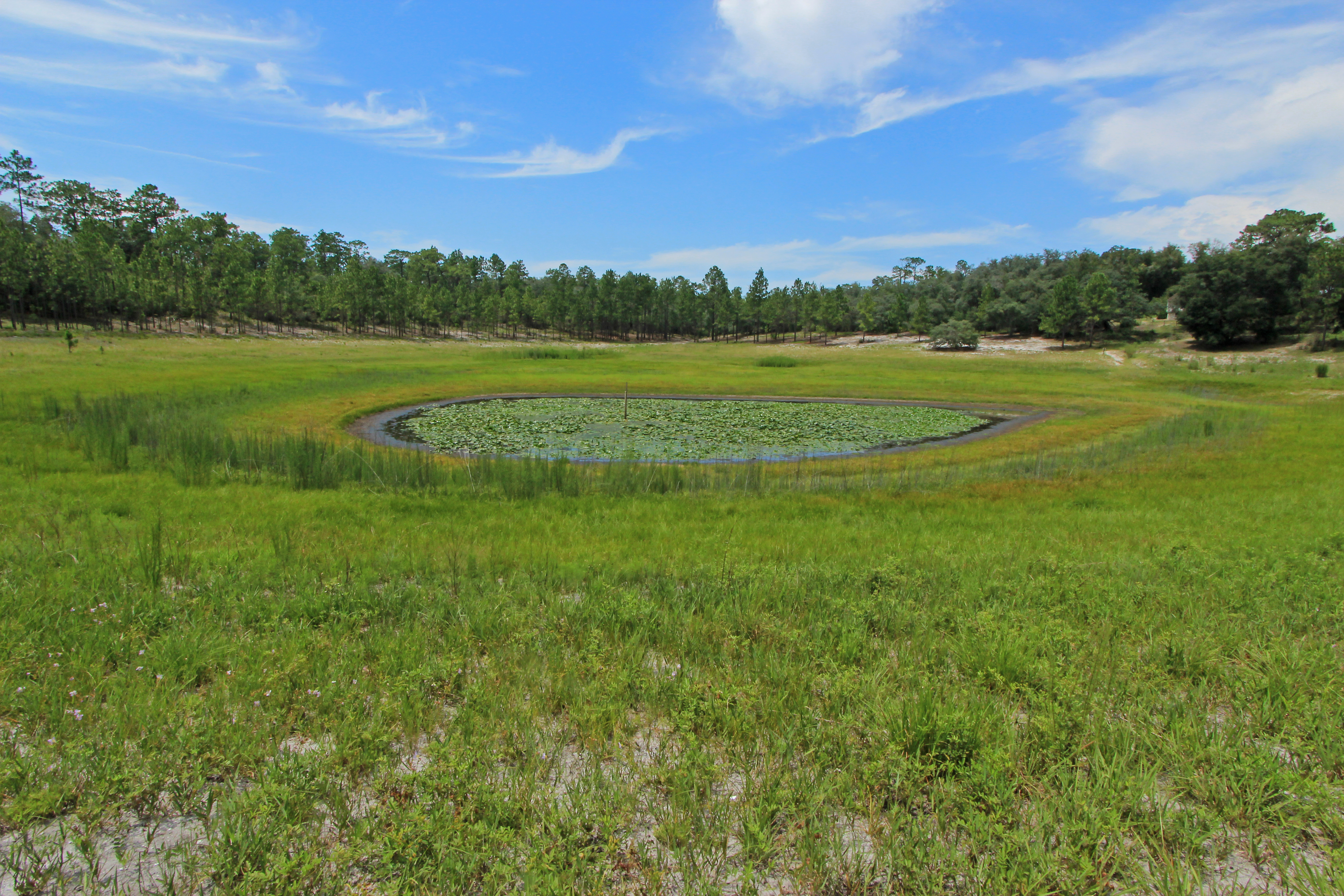
Depression Marsh, once part of Big Lake Johnson, Mike Roess Goldhead Branch State Park, Putnam County, Florida 1

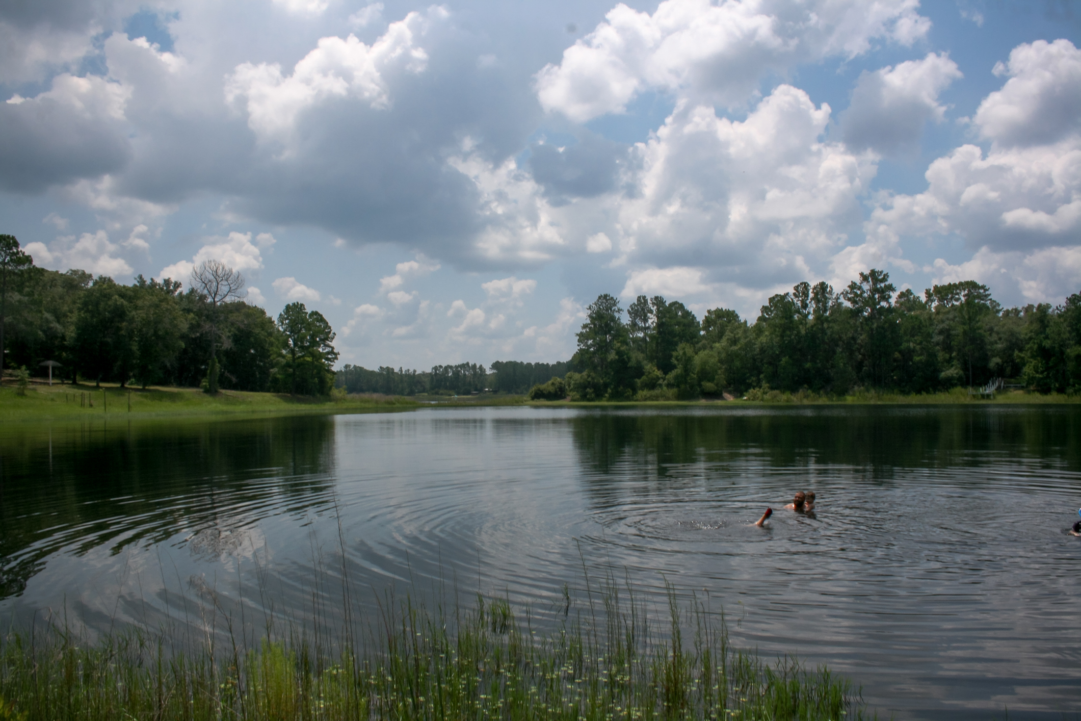
Melrose “swimming hole”
Etoniah Creek State Forest
Lake House 2013
Pebble Lake, Mike Roess Goldhead Branch State Park, Putnam County, Florida 2

Spanish moss in the oaks
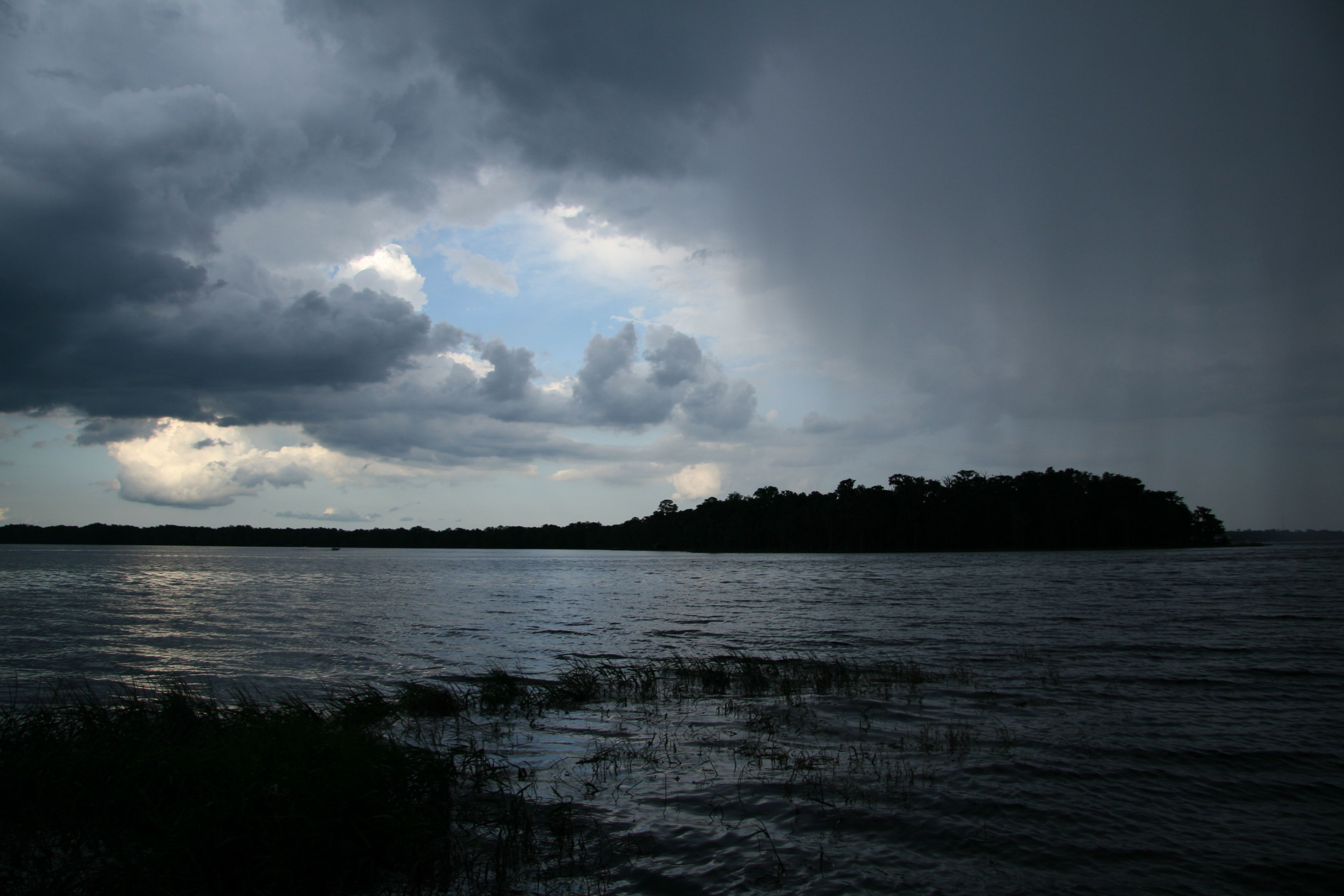
Rain On The Way (2 of 3)
Etoniah Creek State Forest
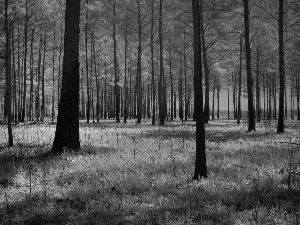
Pine Forest-McRae, Florida
For the Trees
IMG_2220.JPG
Topographic Map of Loop Ln, Melrose, FL, USA
Find elevation by address:

Places near Loop Ln, Melrose, FL, USA:
238 Putnam Loop Rd
276 Putnam Loop Rd
8343 Forest Hills Rd
942 Fl-26
Putnam Hall
1140 Bellamy Rd
1156 Bellamy Rd
Bellamy Road
120 Cedar St
Brush Hill Lane
Ranchette Road
107 Torque Ln
212 Kirby Ln
1422 Fl-100
6057 County Rd 219
5825 Sunset Crater Dr
County Rd, Melrose, FL, USA
5666 Silver Sands Cir
5130 Co Rd 214
5556 Jefferson St
Recent Searches:
- Elevation of Zimmer Trail, Pennsylvania, USA
- Elevation of 87 Kilmartin Ave, Bristol, CT, USA
- Elevation of Honghe National Nature Reserve, QP95+PJP, Tongjiang, Heilongjiang, Jiamusi, Heilongjiang, China
- Elevation of Hercules Dr, Colorado Springs, CO, USA
- Elevation of Szlak pieszy czarny, Poland
- Elevation of Griffing Blvd, Biscayne Park, FL, USA
- Elevation of Kreuzburger Weg 13, Düsseldorf, Germany
- Elevation of Gateway Blvd SE, Canton, OH, USA
- Elevation of East W.T. Harris Boulevard, E W.T. Harris Blvd, Charlotte, NC, USA
- Elevation of West Sugar Creek, Charlotte, NC, USA