Elevation of Loomis Ave, Fort Dodge, IA, USA
Location: United States > Iowa > Webster County > Fort Dodge >
Longitude: -94.194478
Latitude: 42.5184817
Elevation: 341m / 1119feet
Barometric Pressure: 97KPa
Elevation Map:
Satellite Map:
Related Photos:
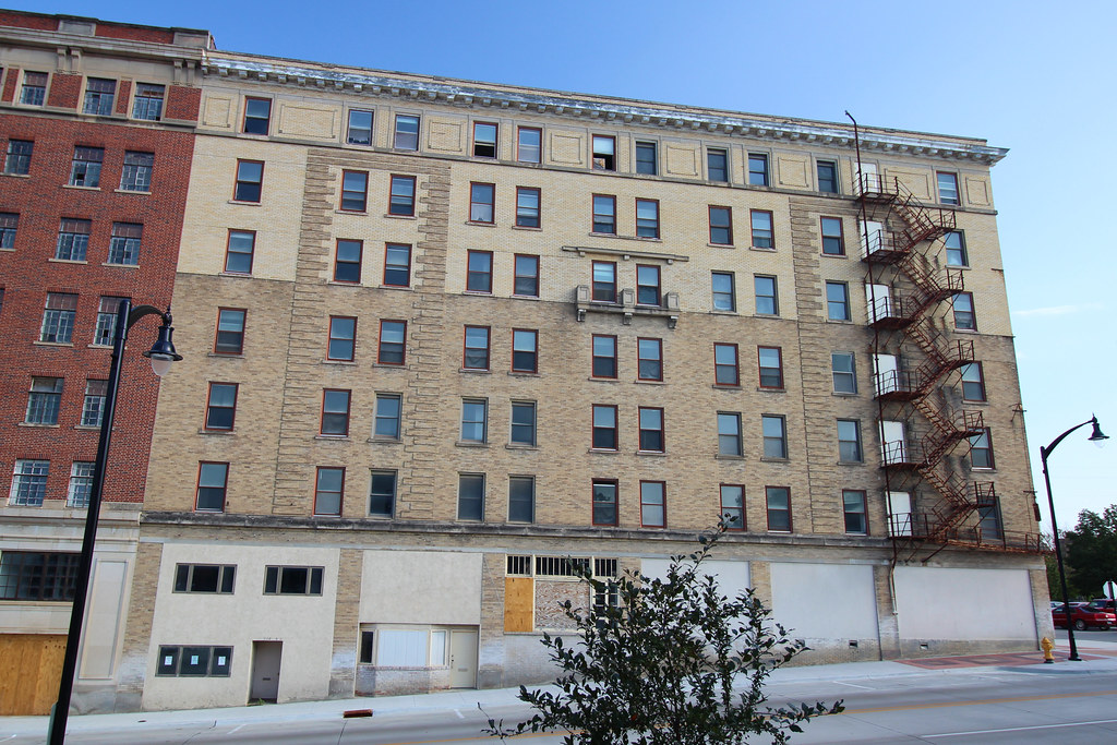
Wahkonsa Hotel (rear view) - Fort Dodge, IA
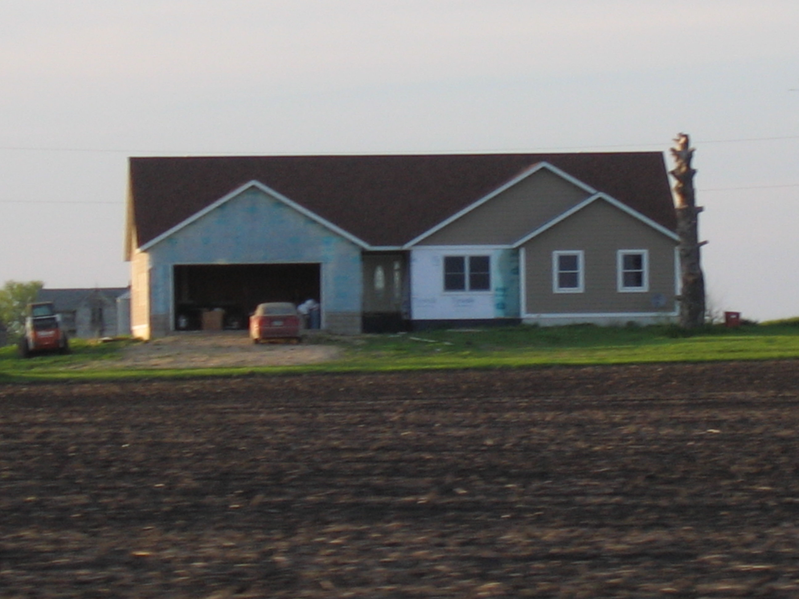
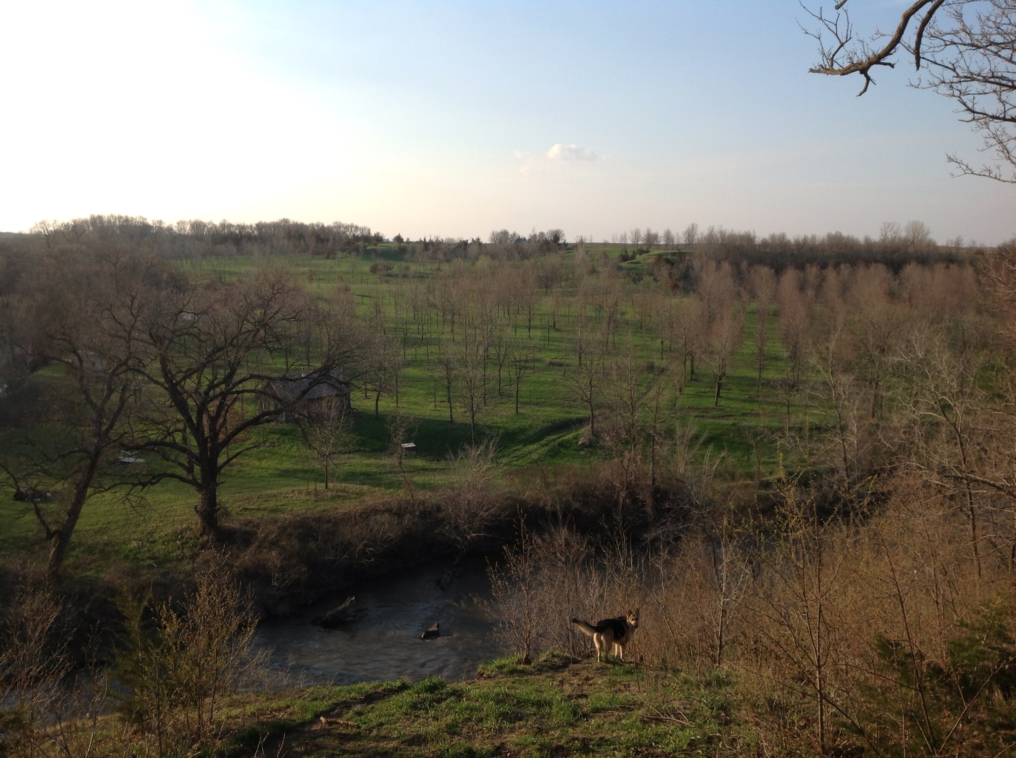
House Across Field

Wells Fargo Bank
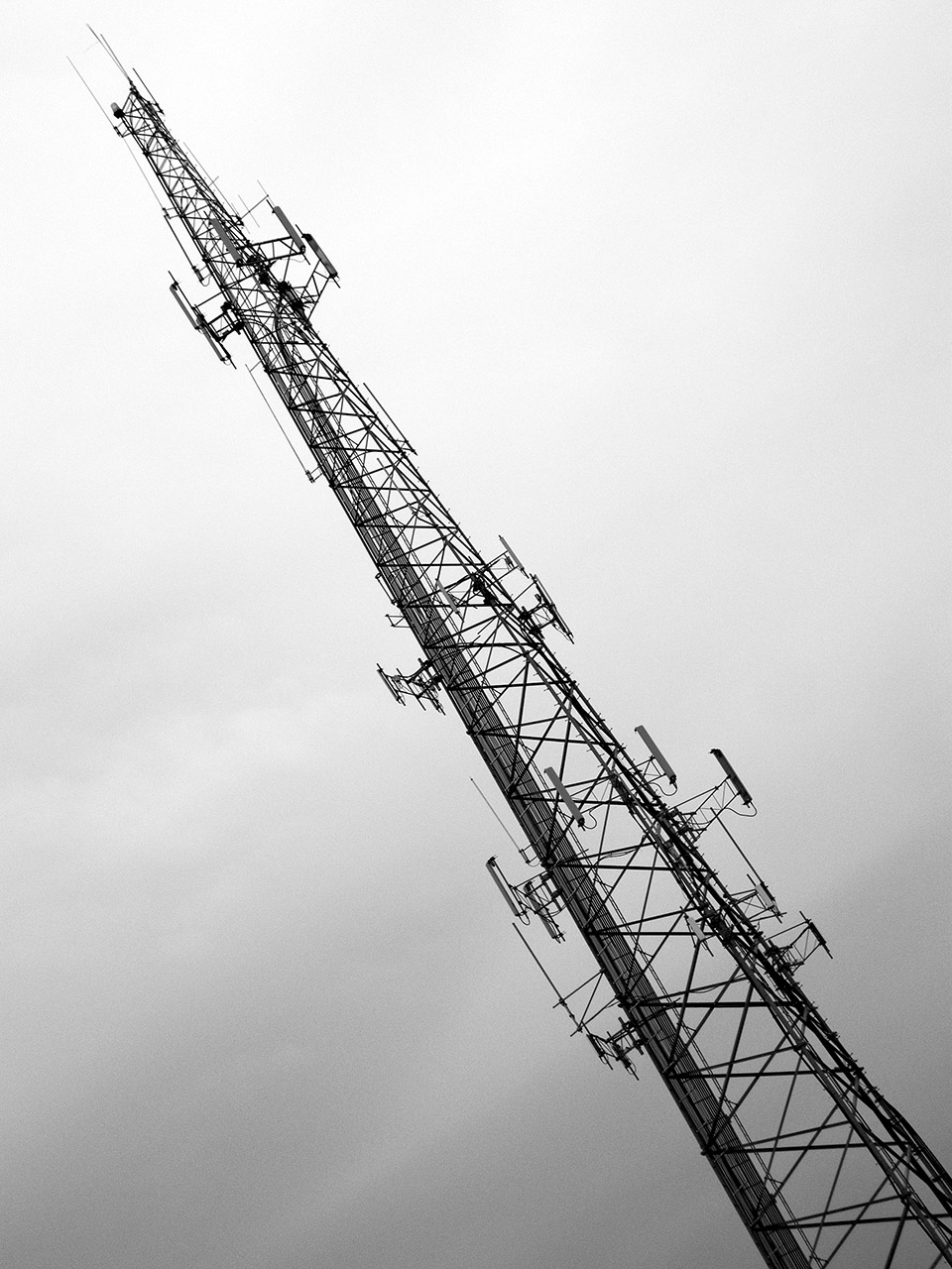
Connecting tower (bw)
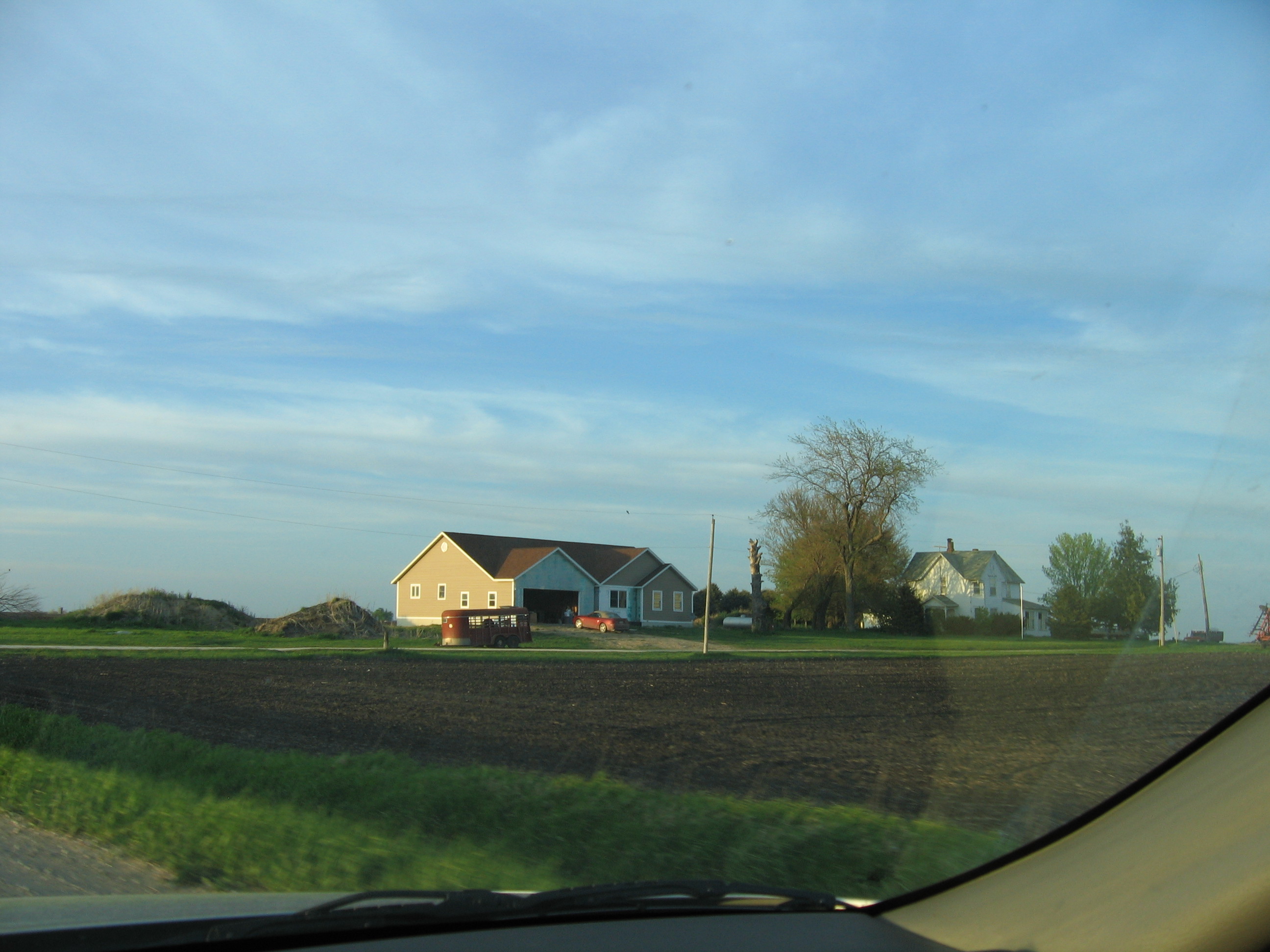
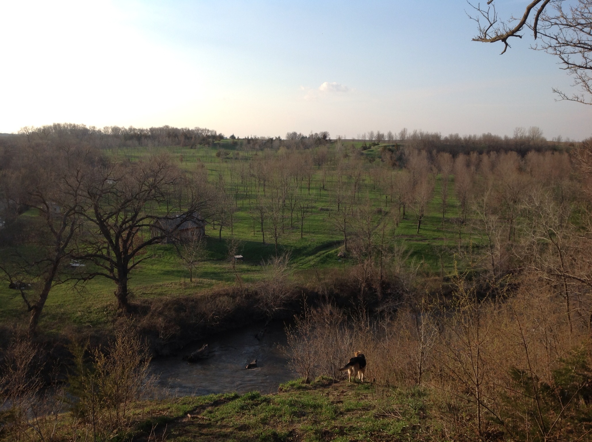
House Across Field 3
Day 147: Memorialized
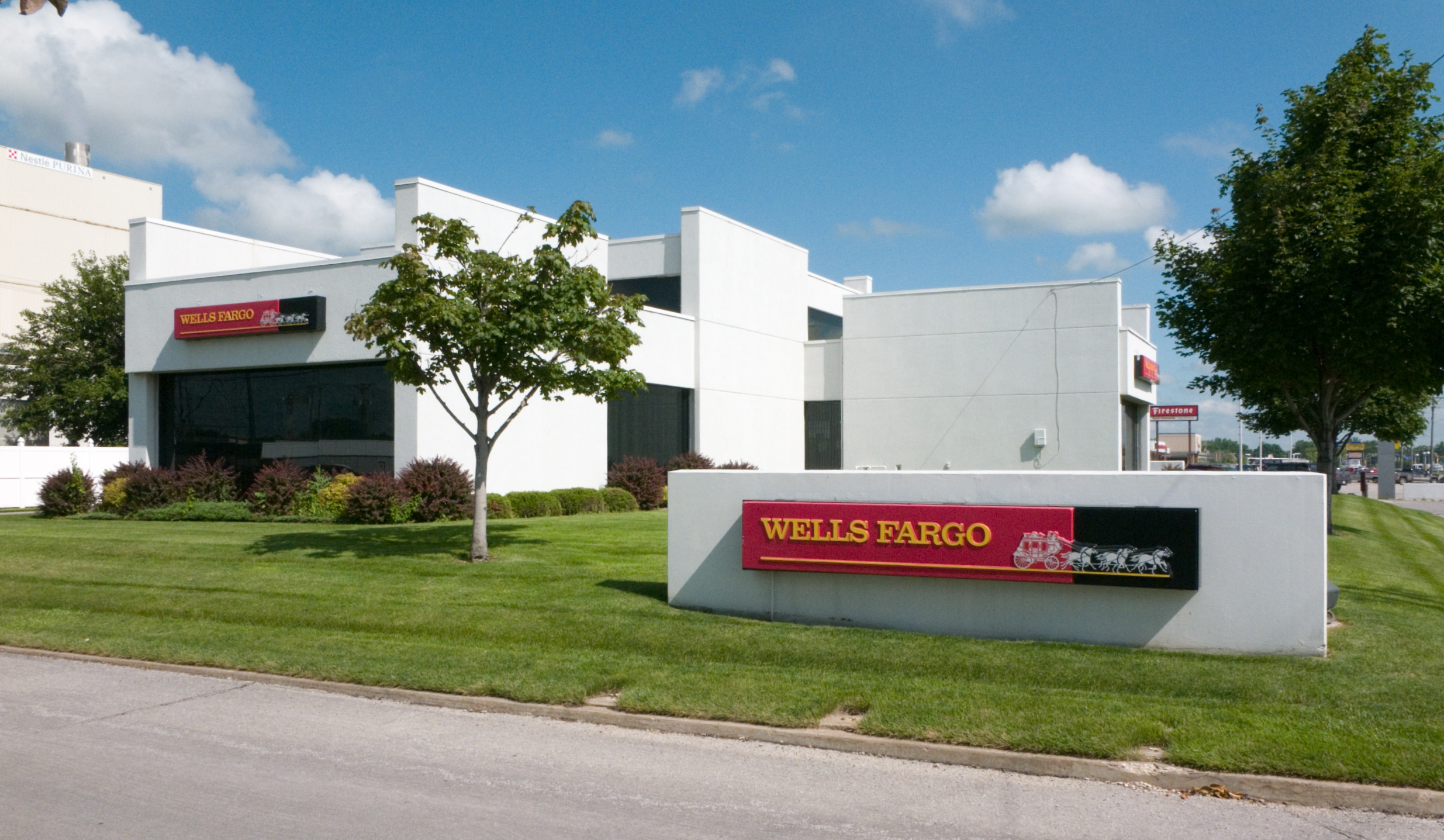
Wells Fargo Bank

My private ride to MSP.
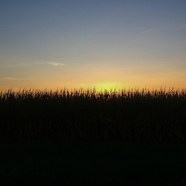
Iowa sunset over a cornfield #iowa #sunset #cornfield
RAGBRAI 2015
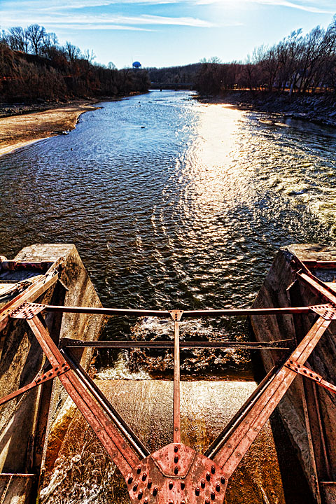
Day 1443: River Ups & Downs
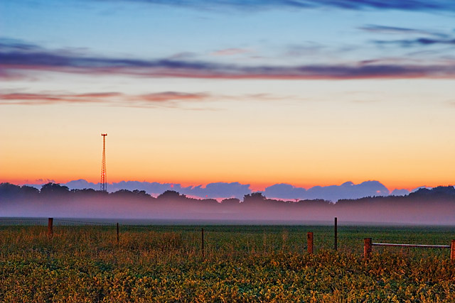
Day 161: Freak Fog

Day 203: In the Half Shell

Day 1425: My Water's All Gone
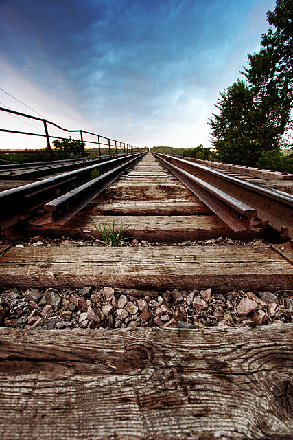
Day 210: Bridging the Tracks
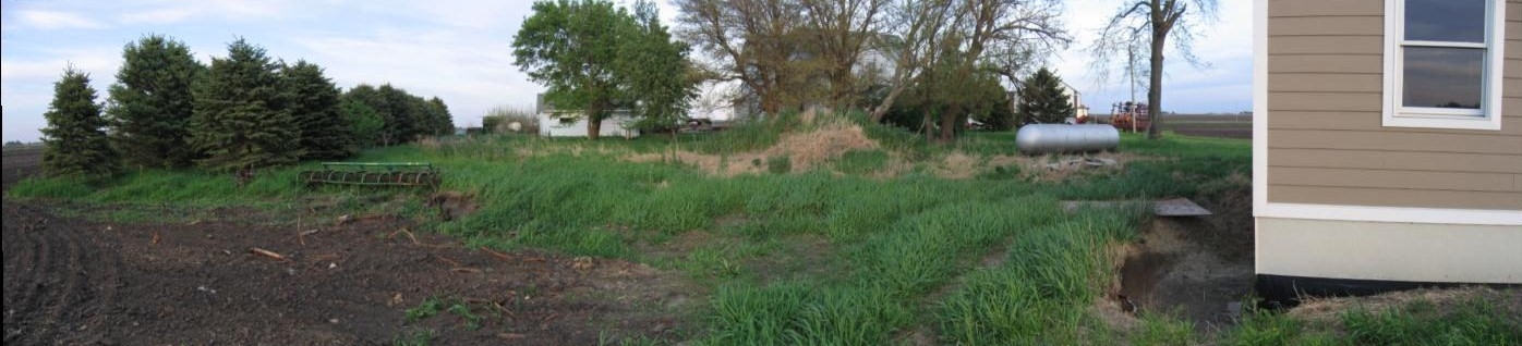
Pano Northside Short 1
Day 1246: Memorial Bones
Pan South Side Front
My Photo Stream-76
Pano Northside Short 2

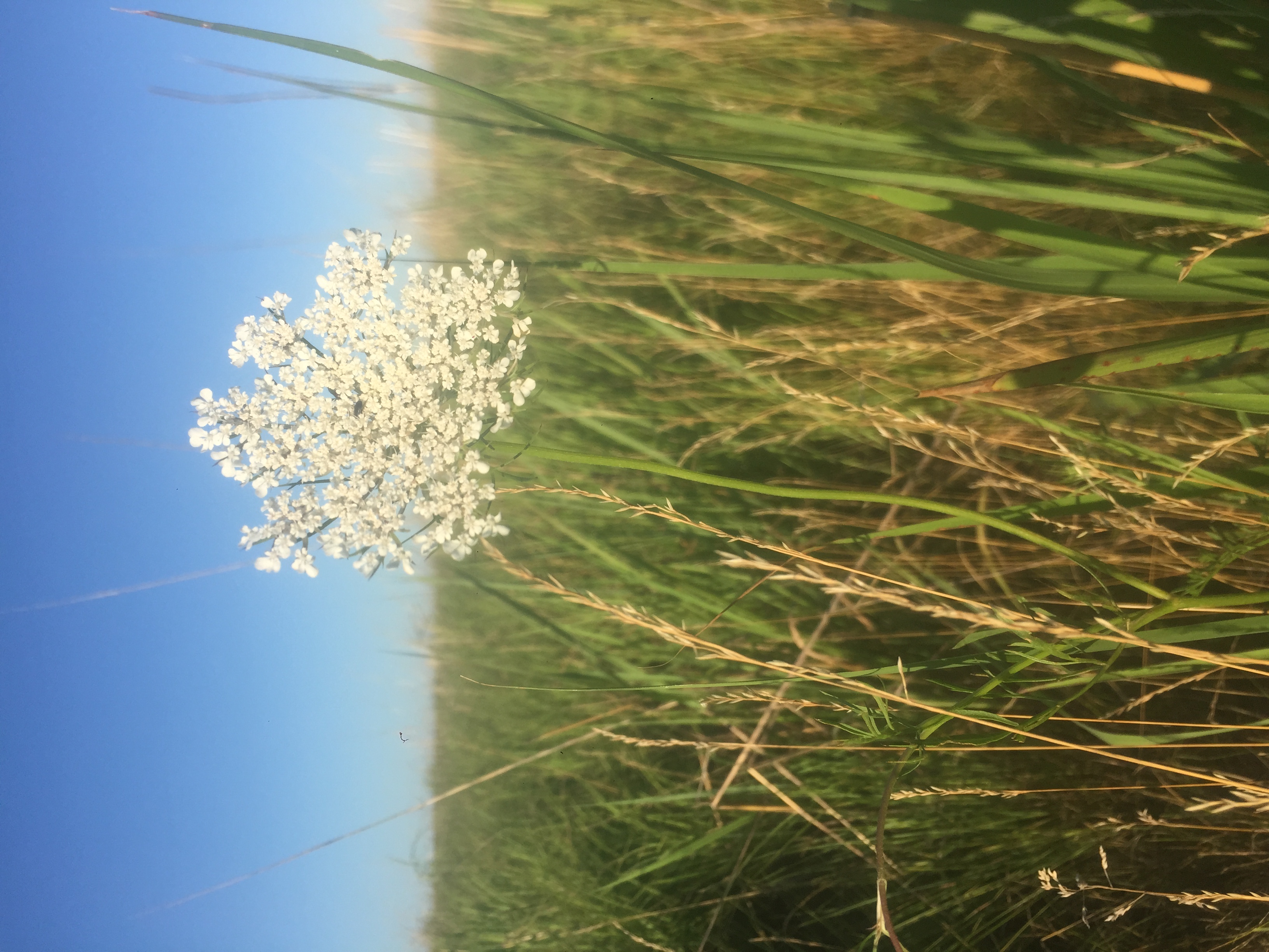
Knee high by the Fourth of July #corn #oceansofcorn 177/365 #project365 #365
My Photo Stream-75
My Photo Stream-74

Pan East Side
Topographic Map of Loomis Ave, Fort Dodge, IA, USA
Find elevation by address:

Places near Loomis Ave, Fort Dodge, IA, USA:
Dodger Stadium
Dodger Stadium
Fort Dodge
2374 Mill Rd
2374 Mill Rd
Riverside Trail, Fort Dodge, IA, USA
2340 Riverside Trail
th St, Otho, IA, USA
Coalville
Nelson Ave, Fort Dodge, IA, USA
Co Hwy D33, Otho, IA, USA
Otho
Elkhorn
Pleasant Valley
Nelson Avenue
Webster County
Otho
th St, Duncombe, IA, USA
th St, Duncombe, IA, USA
Main St, Duncombe, IA, USA
Recent Searches:
- Elevation of Pykes Down, Ivybridge PL21 0BY, UK
- Elevation of Jalan Senandin, Lutong, Miri, Sarawak, Malaysia
- Elevation of Bilohirs'k
- Elevation of 30 Oak Lawn Dr, Barkhamsted, CT, USA
- Elevation of Luther Road, Luther Rd, Auburn, CA, USA
- Elevation of Unnamed Road, Respublika Severnaya Osetiya — Alaniya, Russia
- Elevation of Verkhny Fiagdon, North Ossetia–Alania Republic, Russia
- Elevation of F. Viola Hiway, San Rafael, Bulacan, Philippines
- Elevation of Herbage Dr, Gulfport, MS, USA
- Elevation of Lilac Cir, Haldimand, ON N3W 2G9, Canada