Elevation of Looksan, West Bengal, India
Location: India > West Bengal > Jalpaiguri >
Longitude: 88.9760893
Latitude: 26.8799825
Elevation: 203m / 666feet
Barometric Pressure: 99KPa
Elevation Map:
Satellite Map:
Related Photos:
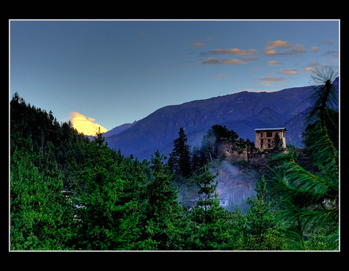
Mount Jomolhari - Paro

CSP_4160.JPG

Sukhanibasti, West Bengal

CSP_4161.JPG
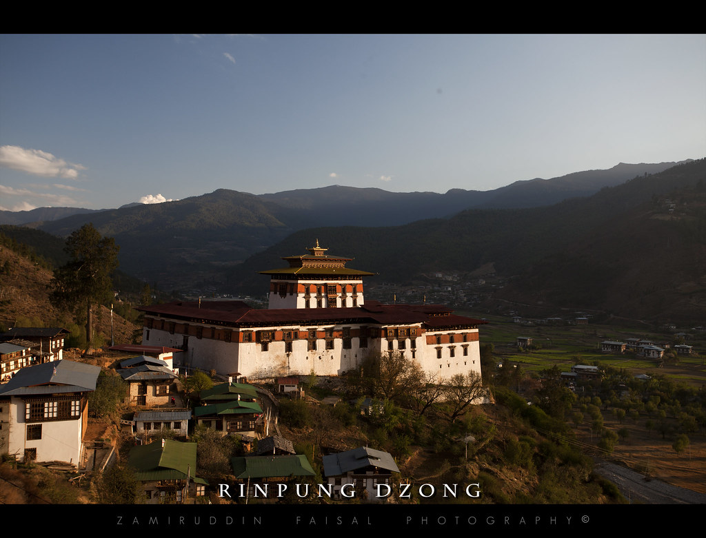
Rinpung Dzong
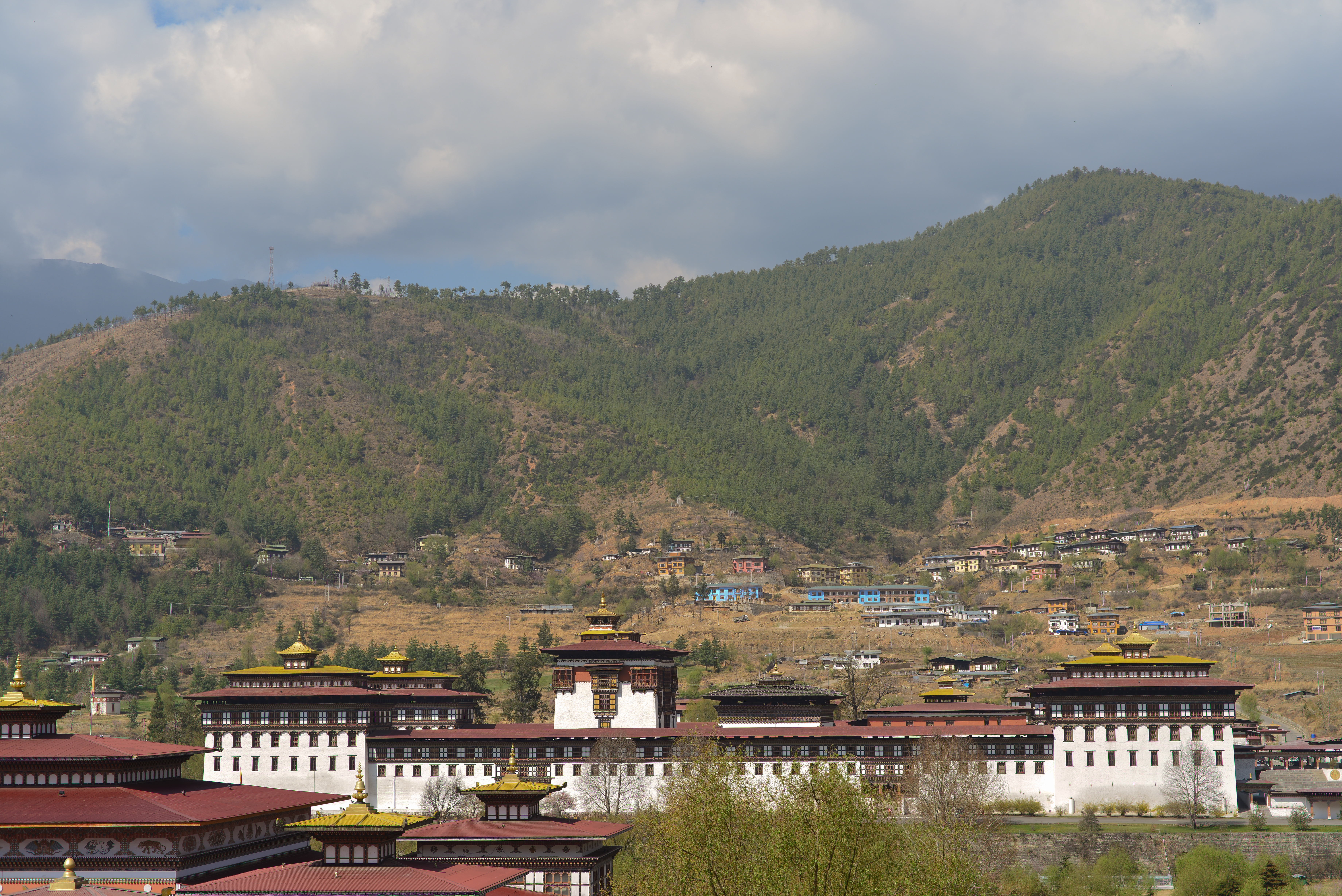
Tashichho Dzong 2013-03-27
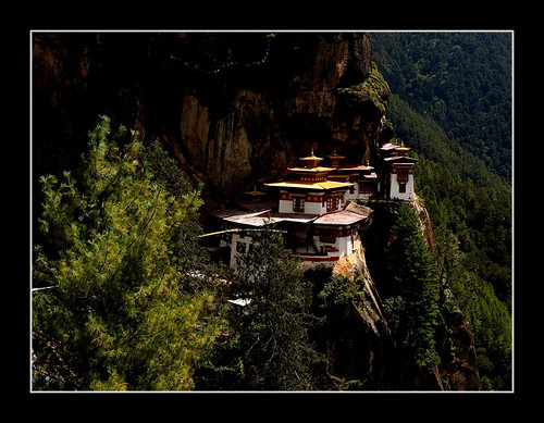
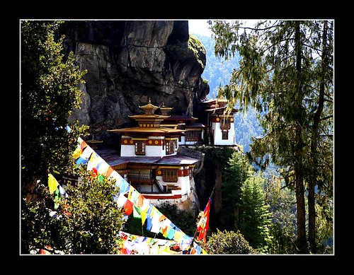
Taktsang Lakhang

Tibetan Monk
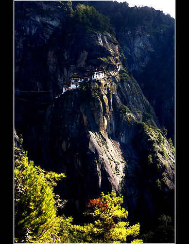
Taktsang Lakhang
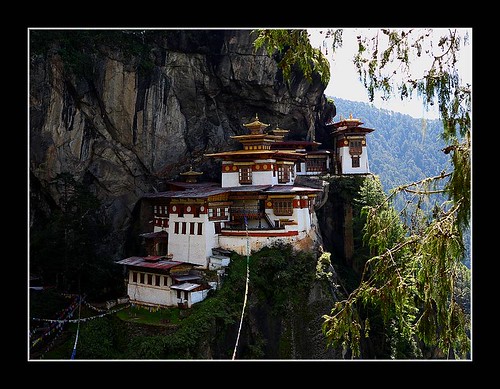
Taktsang Lakhang
Taktsang Lakhang
18. Lower Gatia.JPG
ספטמבר 9 - 17·56 - Rickshawrun4 195
Topographic Map of Looksan, West Bengal, India
Find elevation by address:

Places near Looksan, West Bengal, India:
Diana Tea Garden D
Lakhipara Tea Garden
Ambari Tea Garden
Gandrapara Tea Garden
New Dooars Division Tea Garden
Chamurchi Road
Palasbari Tea Garden D
Palashbari Tea Garden
Banarhat
Banarhat Tea Garden
Chuna Bhati Tea Garden D
Chamurchi Check Post
Moraghat Tea Garden
Kathalguri Tea Garden
Rheabari Tea Garden
Karbala
Karbala Tea Garden
Binaguri Tea Garden D
Chamurchi Hill
Telipara Tea Garden D
Recent Searches:
- Elevation of Shibuya Scramble Crossing, 21 Udagawacho, Shibuya City, Tokyo -, Japan
- Elevation of Jadagoniai, Kaunas District Municipality, Lithuania
- Elevation of Pagonija rock, Kranto 7-oji g. 8"N, Kaunas, Lithuania
- Elevation of Co Rd 87, Jamestown, CO, USA
- Elevation of Tenjo, Cundinamarca, Colombia
- Elevation of Côte-des-Neiges, Montreal, QC H4A 3J6, Canada
- Elevation of Bobcat Dr, Helena, MT, USA
- Elevation of Zu den Ihlowbergen, Althüttendorf, Germany
- Elevation of Badaber, Peshawar, Khyber Pakhtunkhwa, Pakistan
- Elevation of SE Heron Loop, Lincoln City, OR, USA