Elevation of Lonsdale, AR, USA
Location: United States > Arkansas > Garland County > Whittington Township >
Longitude: -92.808224
Latitude: 34.5445356
Elevation: 131m / 430feet
Barometric Pressure: 100KPa
Elevation Map:
Satellite Map:
Related Photos:
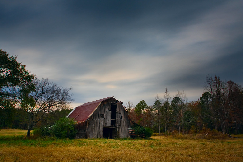
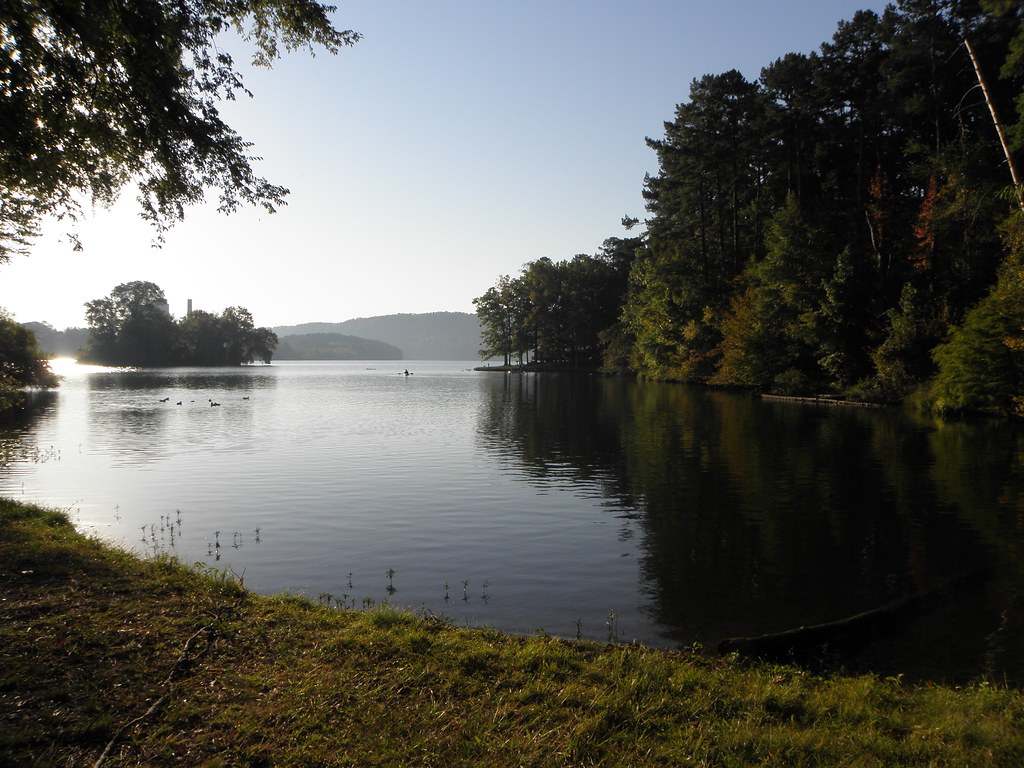
Barn Day
Hangin' at the GRB
Dock #1
Infinite Dock
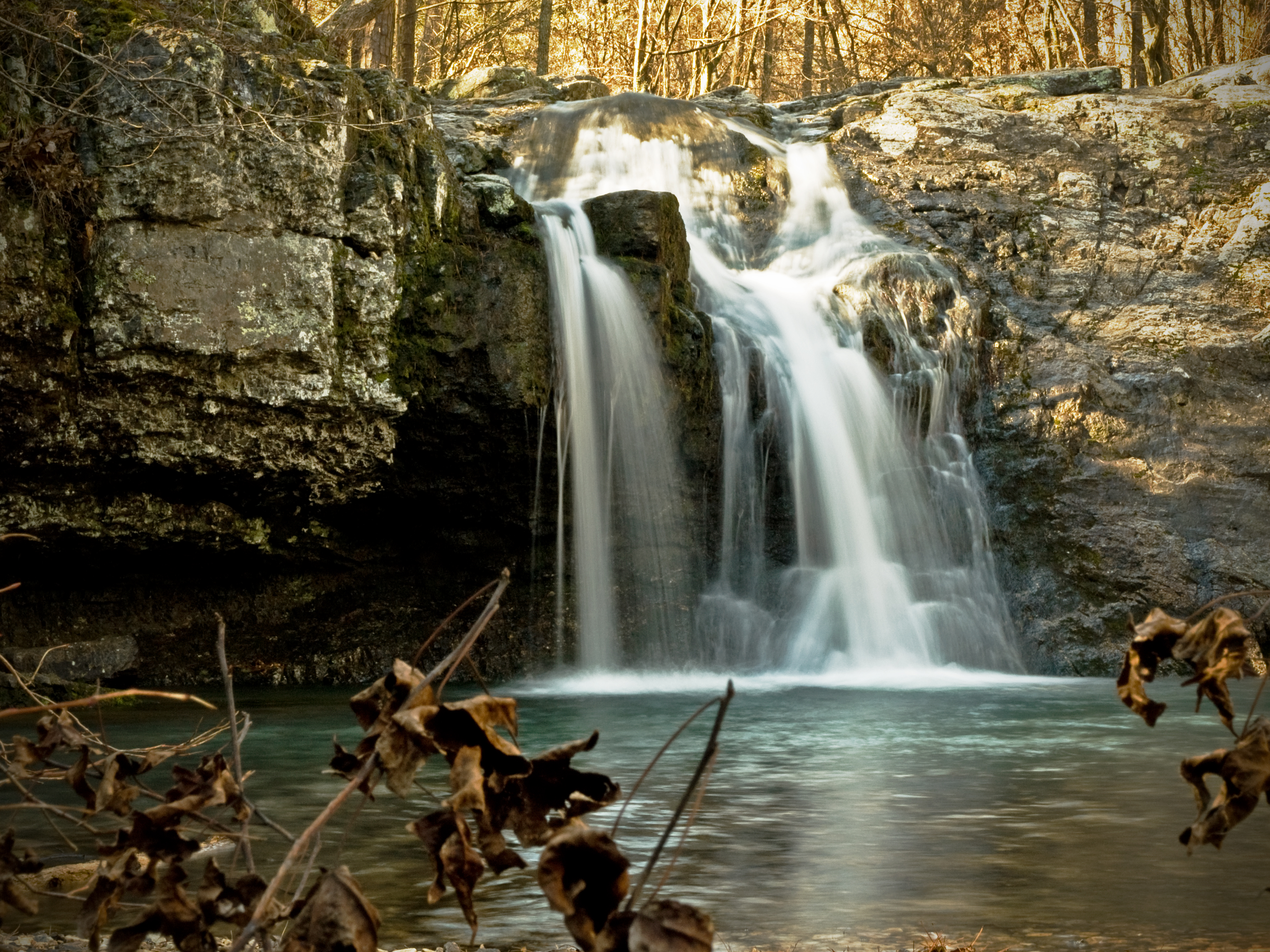
The Falls
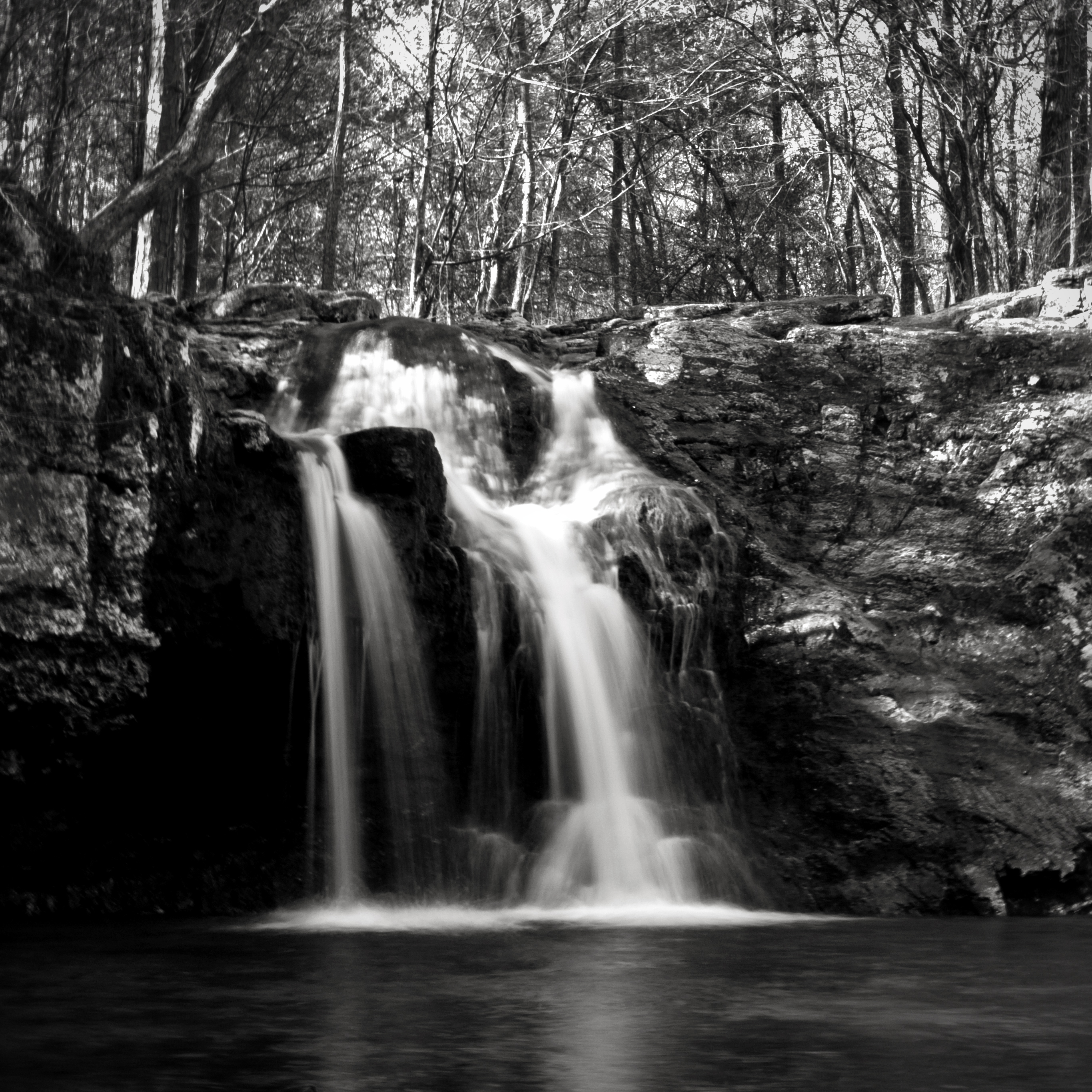
Falls In Gray
Ouachita Jeep 035

i'm looking through you
A barn I've shot a time or two before.

Saline County Barnage
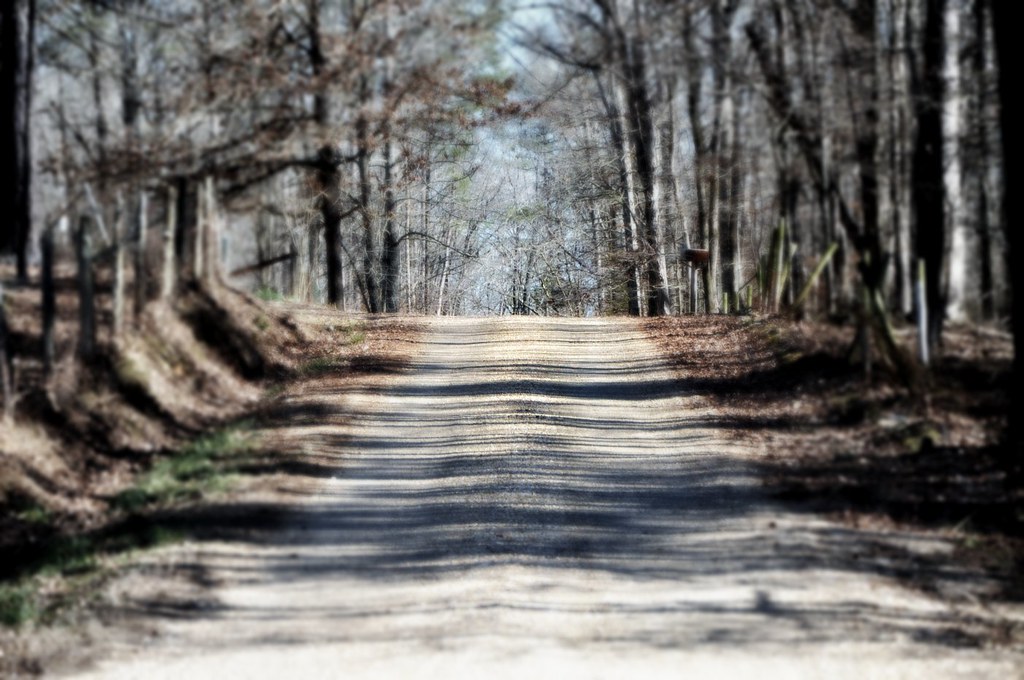
the road less travelled ...
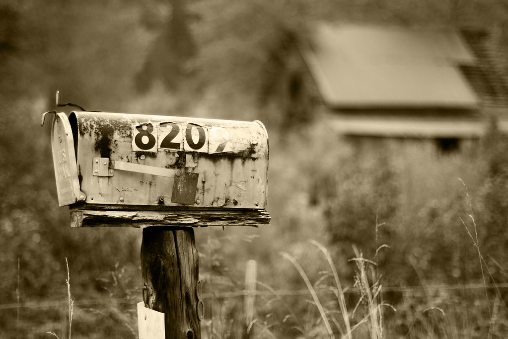
Country Livin'

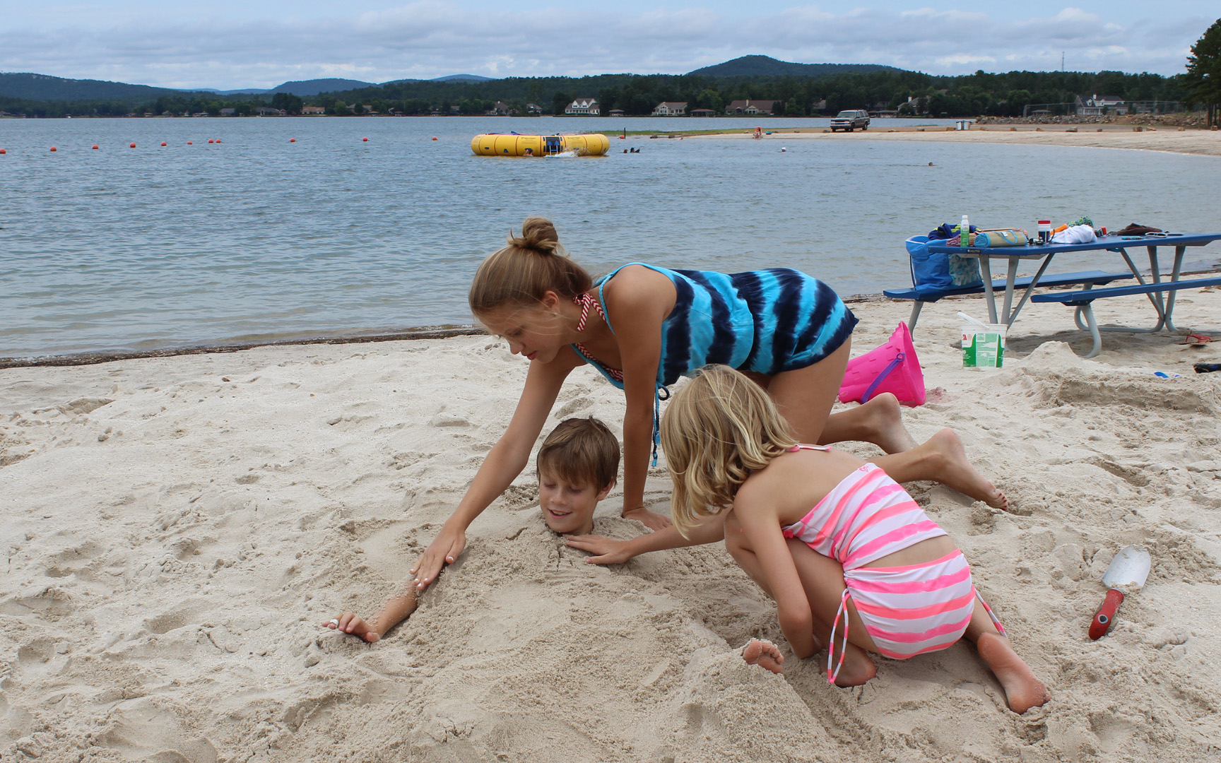
The kids woke up early on...

Falls Creek Falls

Knee Deep
our camp site

Red, White, Yellow
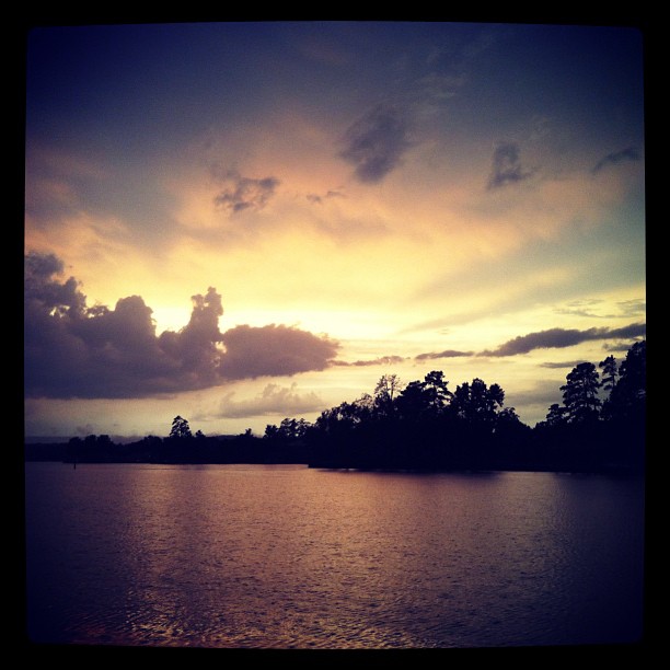
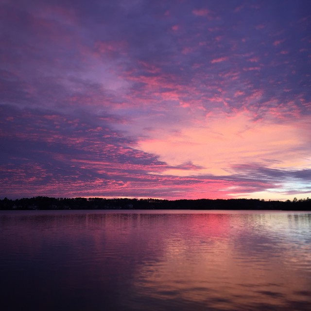
Arkansas Sunset

Lake Balboa Beach 02
Lake Catherine State Park
Christmas Time 2012
#HotSpringsVillage #BalboaLake #Arkansas #Sunset
Lake Balboa Beach 09

Seasonally wet/flat glade
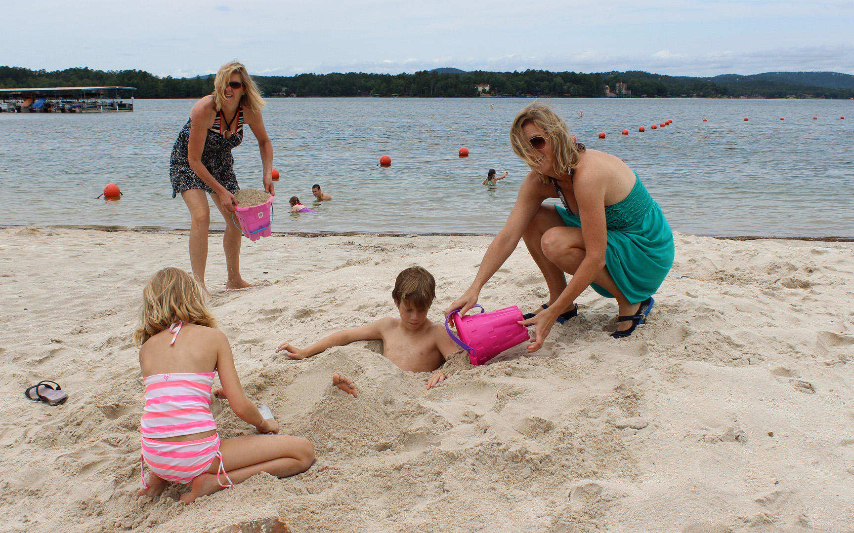
Lake Balboa Beach 08
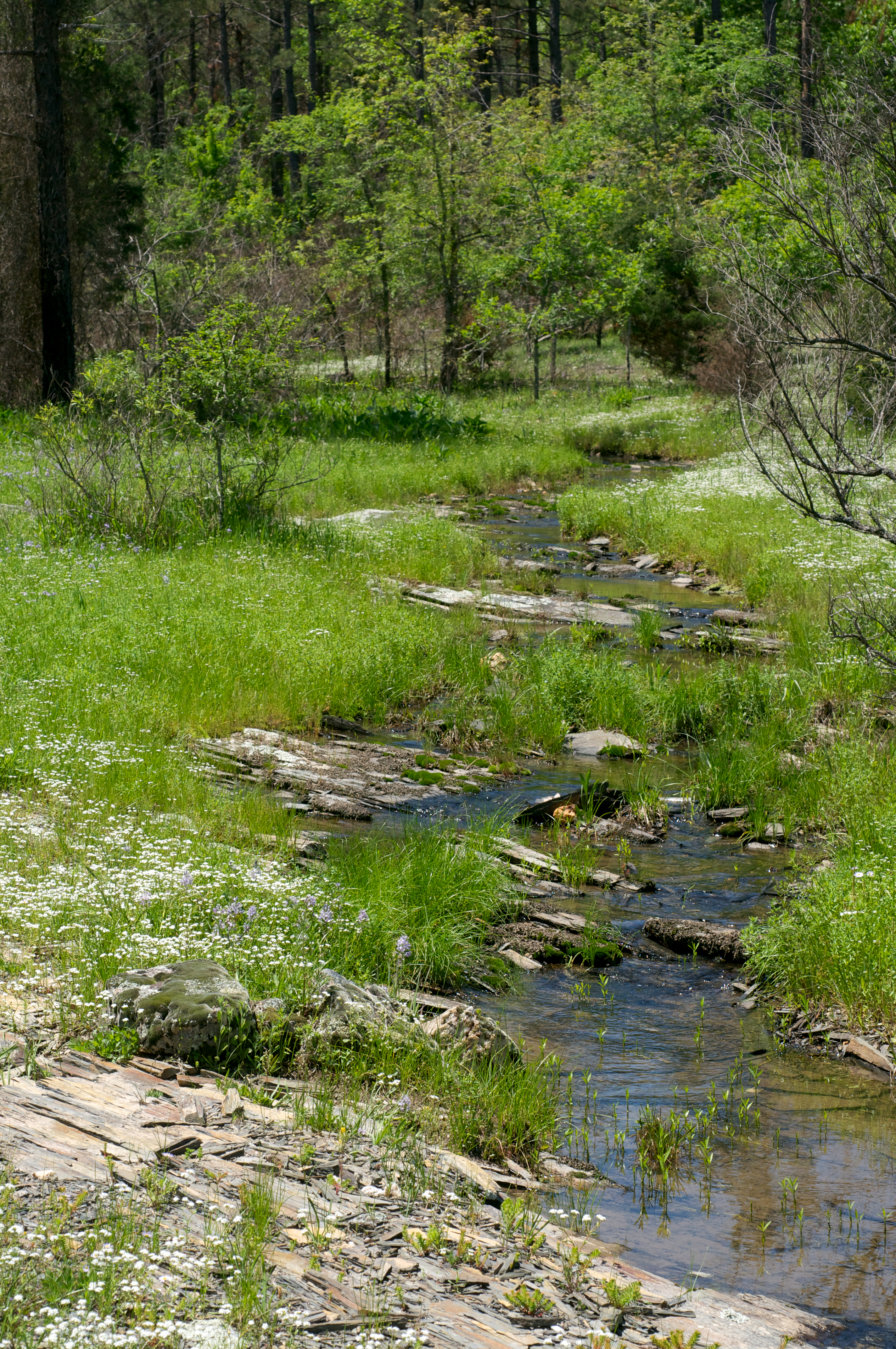
Seasonally wet/flat glade
Topographic Map of Lonsdale, AR, USA
Find elevation by address:

Places in Lonsdale, AR, USA:
Places near Lonsdale, AR, USA:
Cockrill St, Lonsdale, AR, USA
AR-5, Benton, AR, USA
7200 I-30
7200 I-30
7200 I-30
US-67, Malvern, AR, USA
AR-5, Benton, AR, USA
Newcomb Township
1800 Dusty Ridge
Haskell Township
Kennedy Haskell St, Benton, AR, USA
Haskell
1641 S Market St
Benton
Toodle Tots
8302 Main St
Bauxite Township
Shaw Township
8005 Hwy 190
Saline County
Recent Searches:
- Elevation of Leguwa, Nepal
- Elevation of County Rd, Enterprise, AL, USA
- Elevation of Kolchuginsky District, Vladimir Oblast, Russia
- Elevation of Shustino, Vladimir Oblast, Russia
- Elevation of Lampiasi St, Sarasota, FL, USA
- Elevation of Elwyn Dr, Roanoke Rapids, NC, USA
- Elevation of Congressional Dr, Stevensville, MD, USA
- Elevation of Bellview Rd, McLean, VA, USA
- Elevation of Stage Island Rd, Chatham, MA, USA
- Elevation of Shibuya Scramble Crossing, 21 Udagawacho, Shibuya City, Tokyo -, Japan