Elevation of Long St, Roseville, OH, USA
Location: United States > Ohio > Muskingum County > Newton Township >
Longitude: -82.061737
Latitude: 39.8182467
Elevation: 232m / 761feet
Barometric Pressure: 99KPa
Elevation Map:
Satellite Map:
Related Photos:
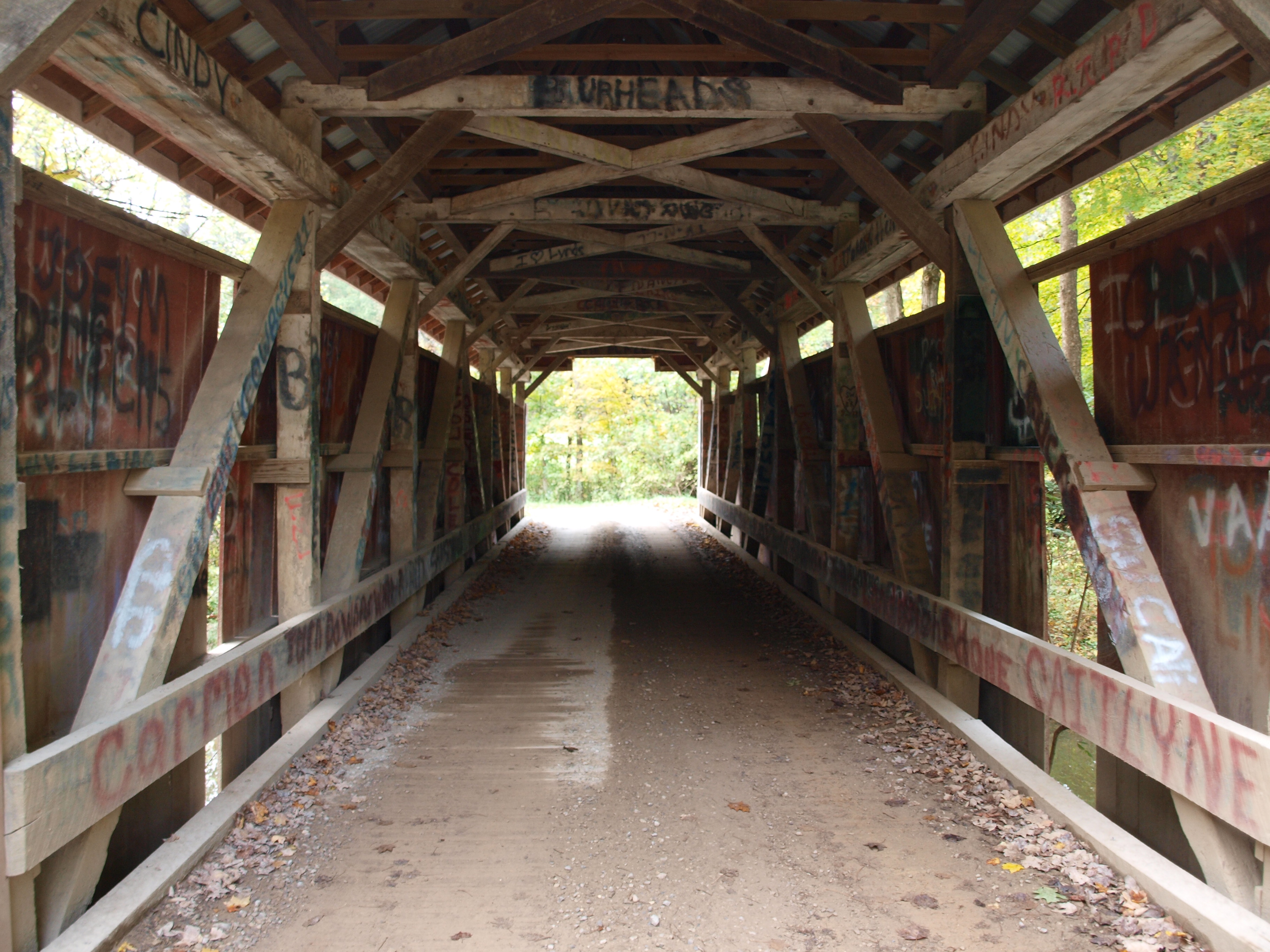
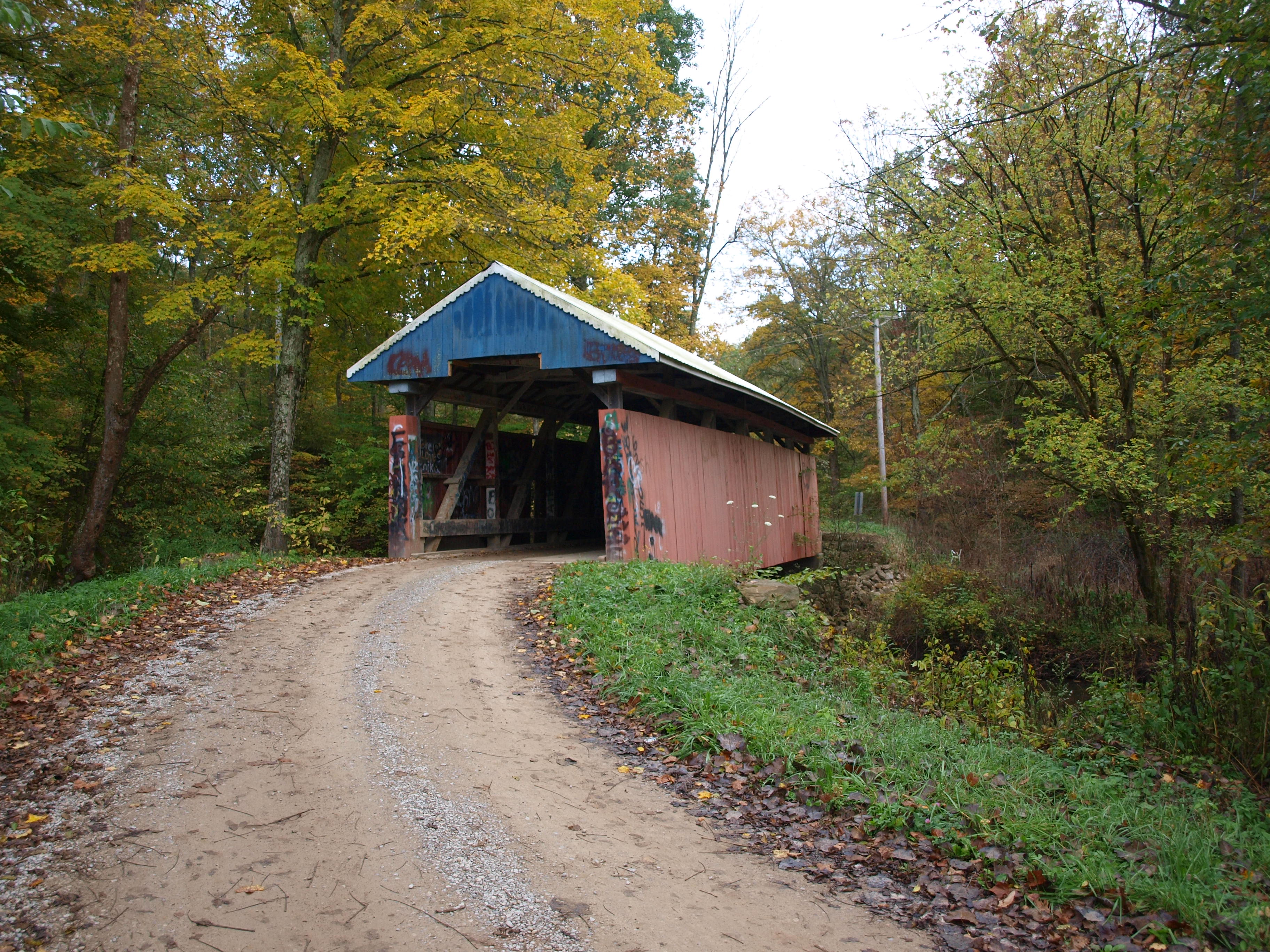
Jacks Hollow Covered Bridge, barrel view, Perry County, Ohio
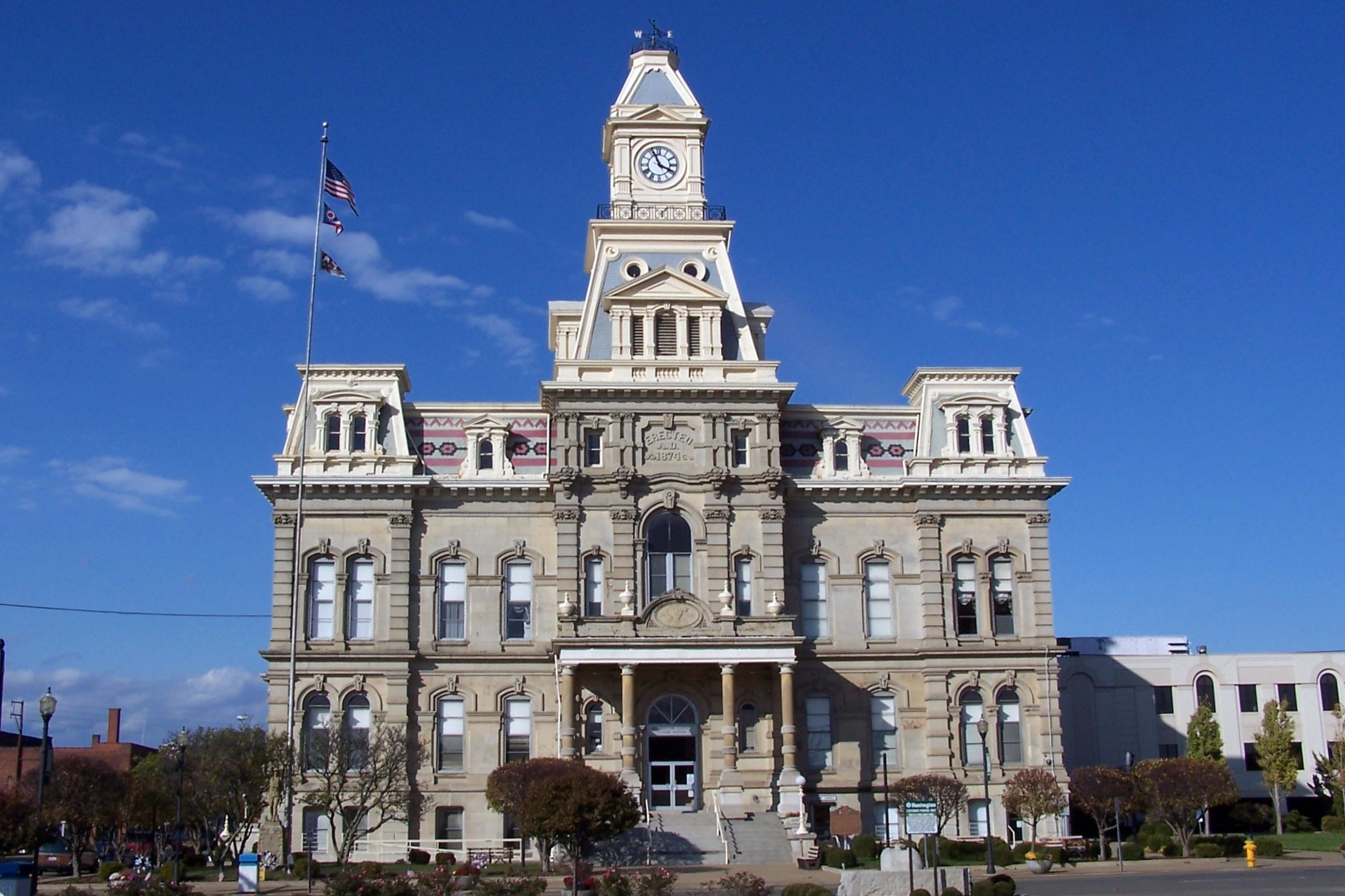
Muskingum County Courthouse, Front View
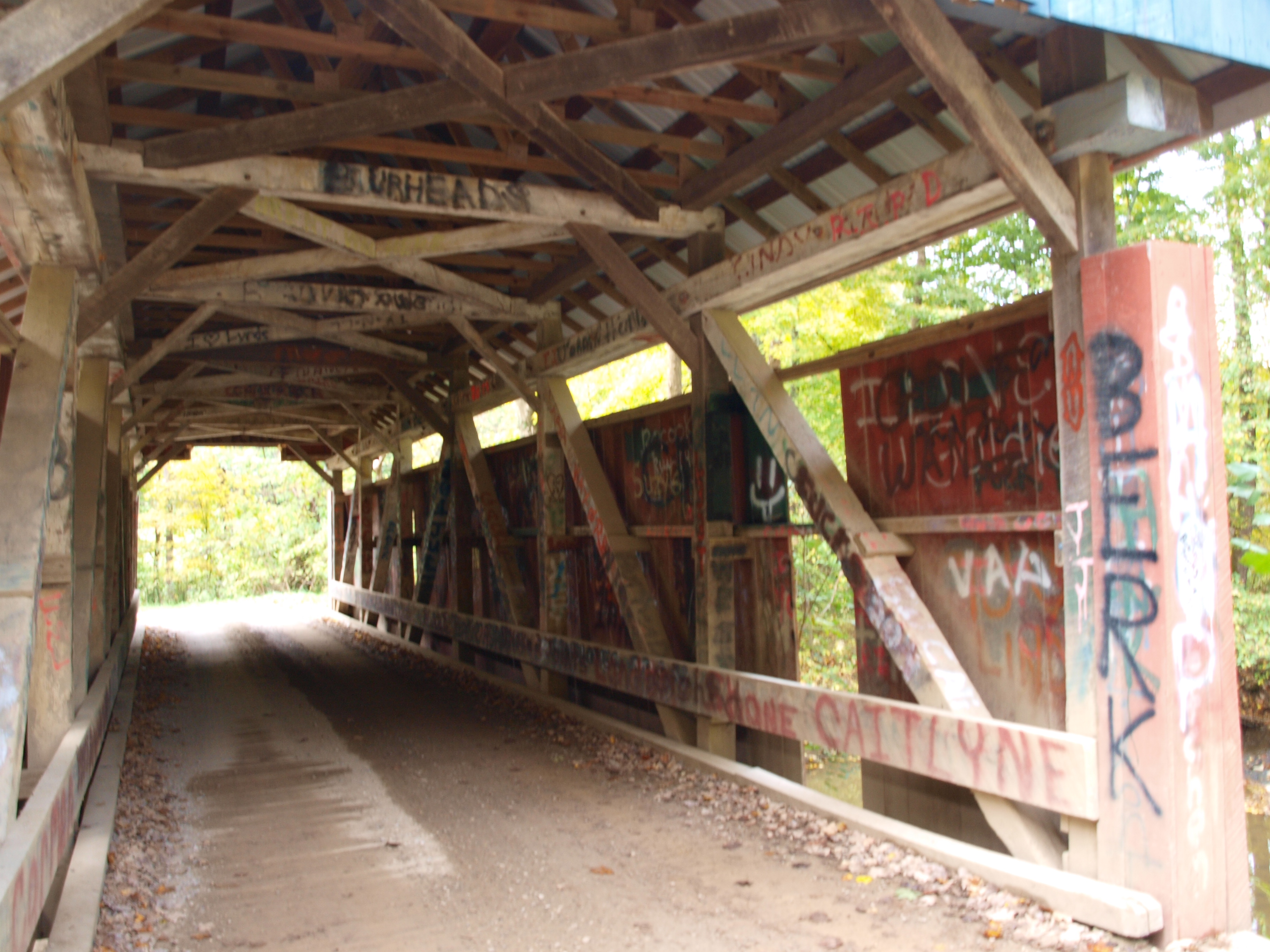
Jacks Hollow Covered Bridge, truss view, Perry County, Ohio
Jacks Hollow Covered Bridge, cross creek view, Perry County, Ohio
Jacks Hollow Covered Bridge, cross creek view, Perry County, Ohio (2)
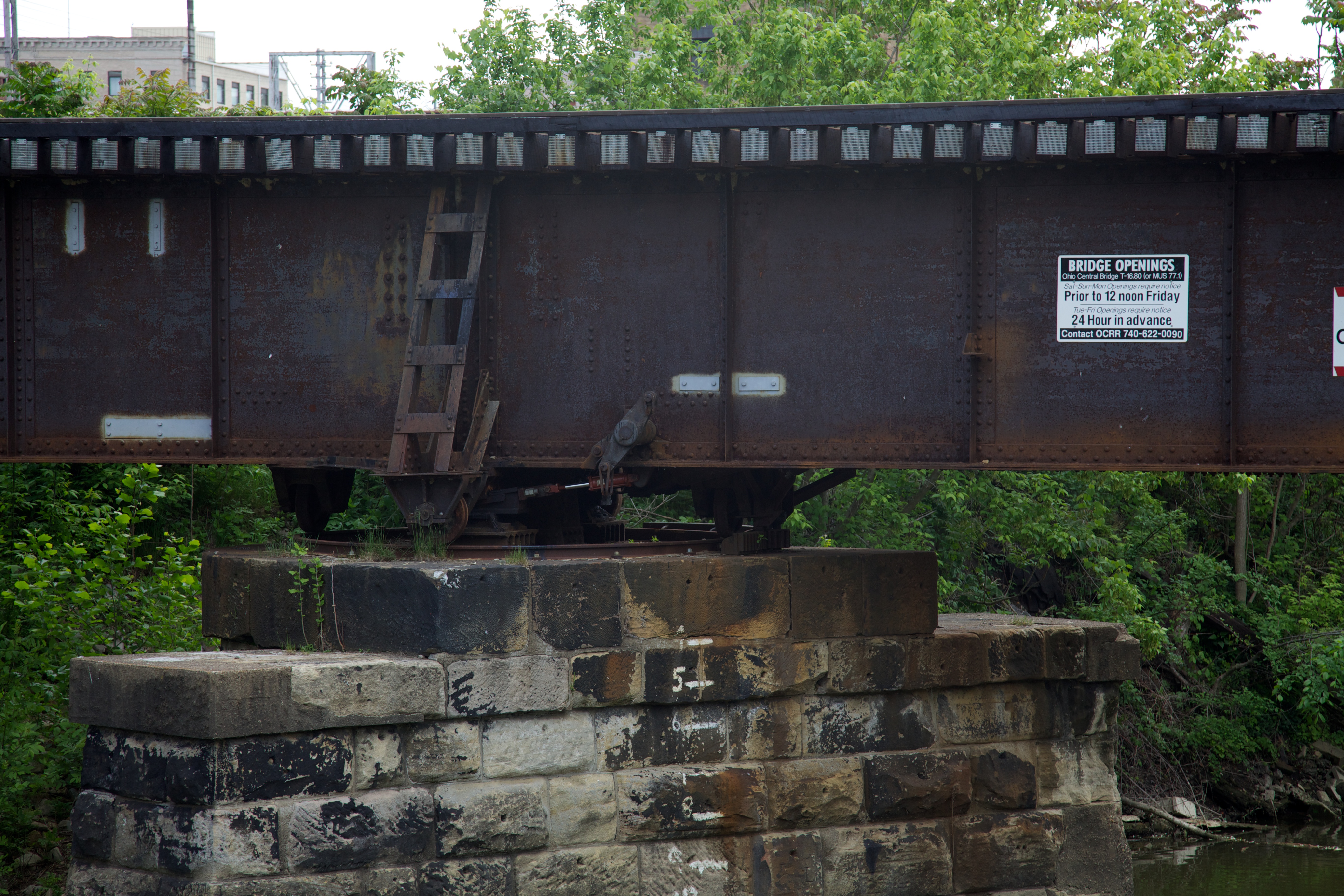
Bridge Openings
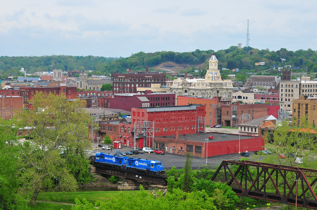
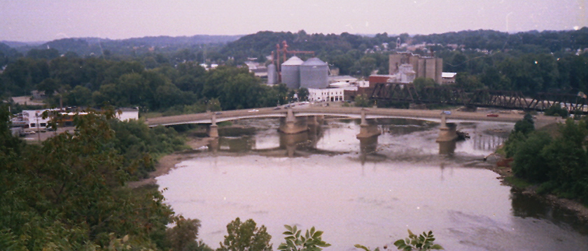
Zanesville Overview
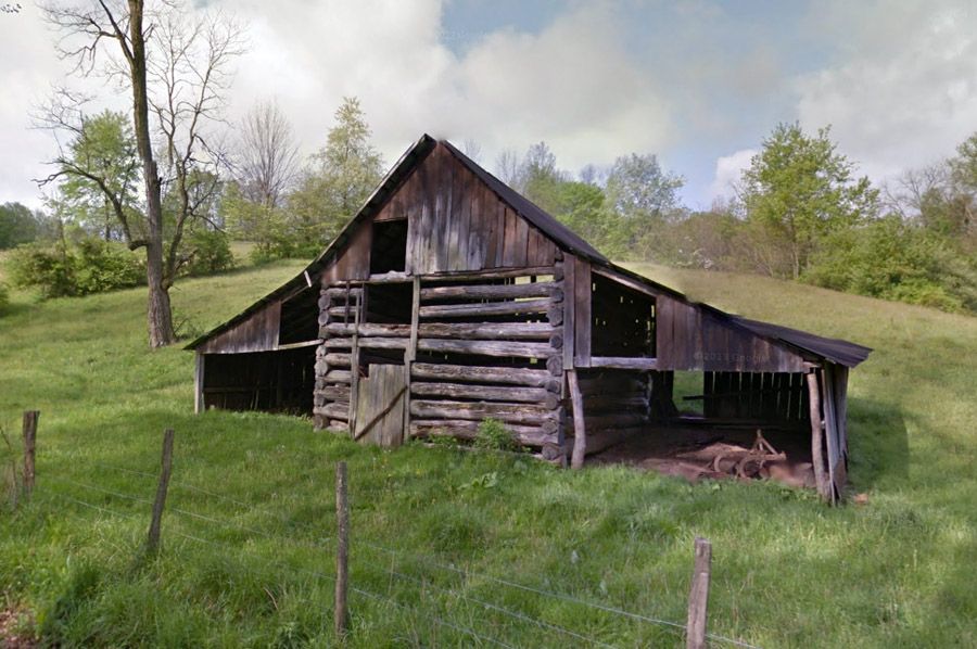
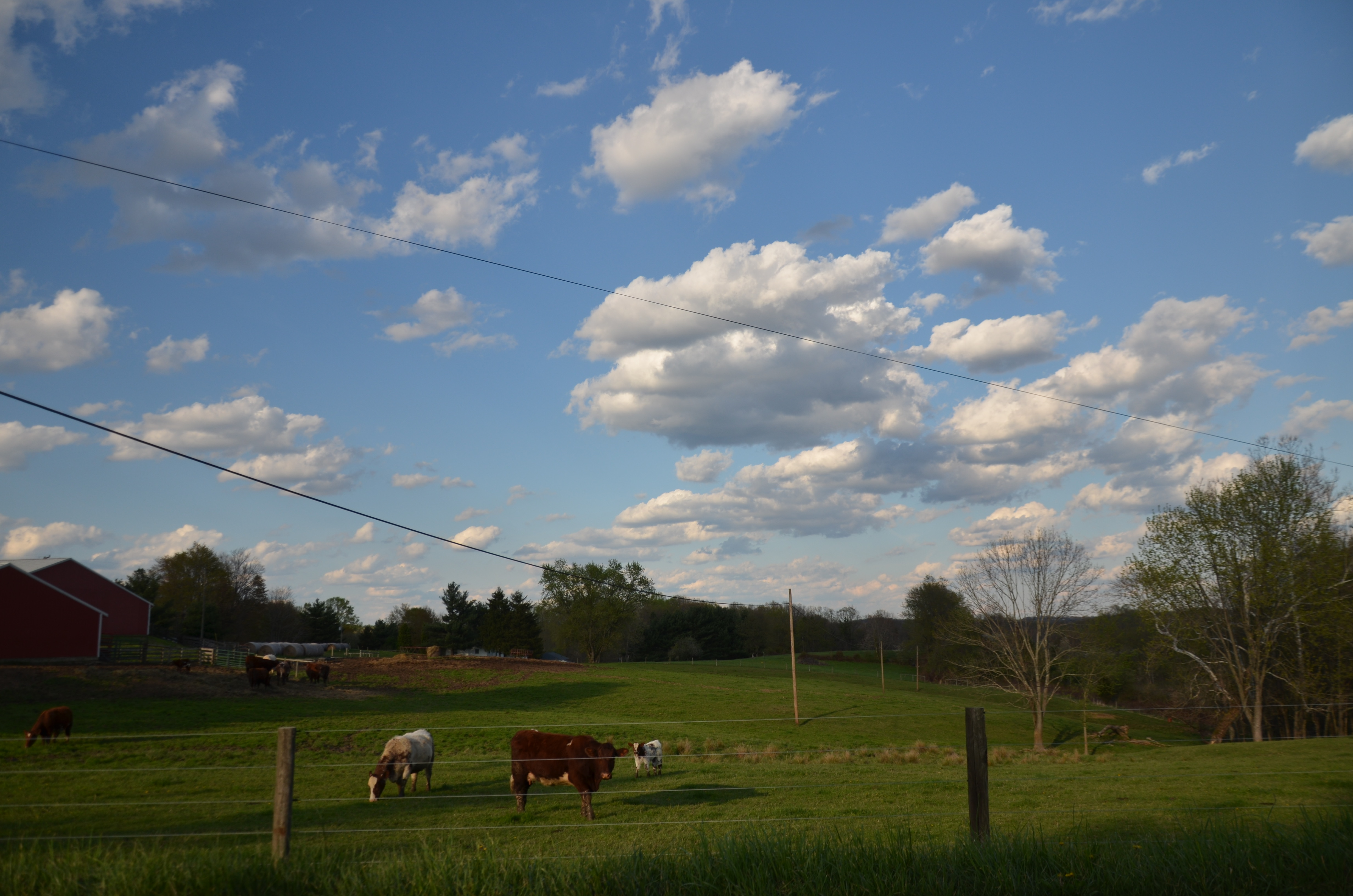
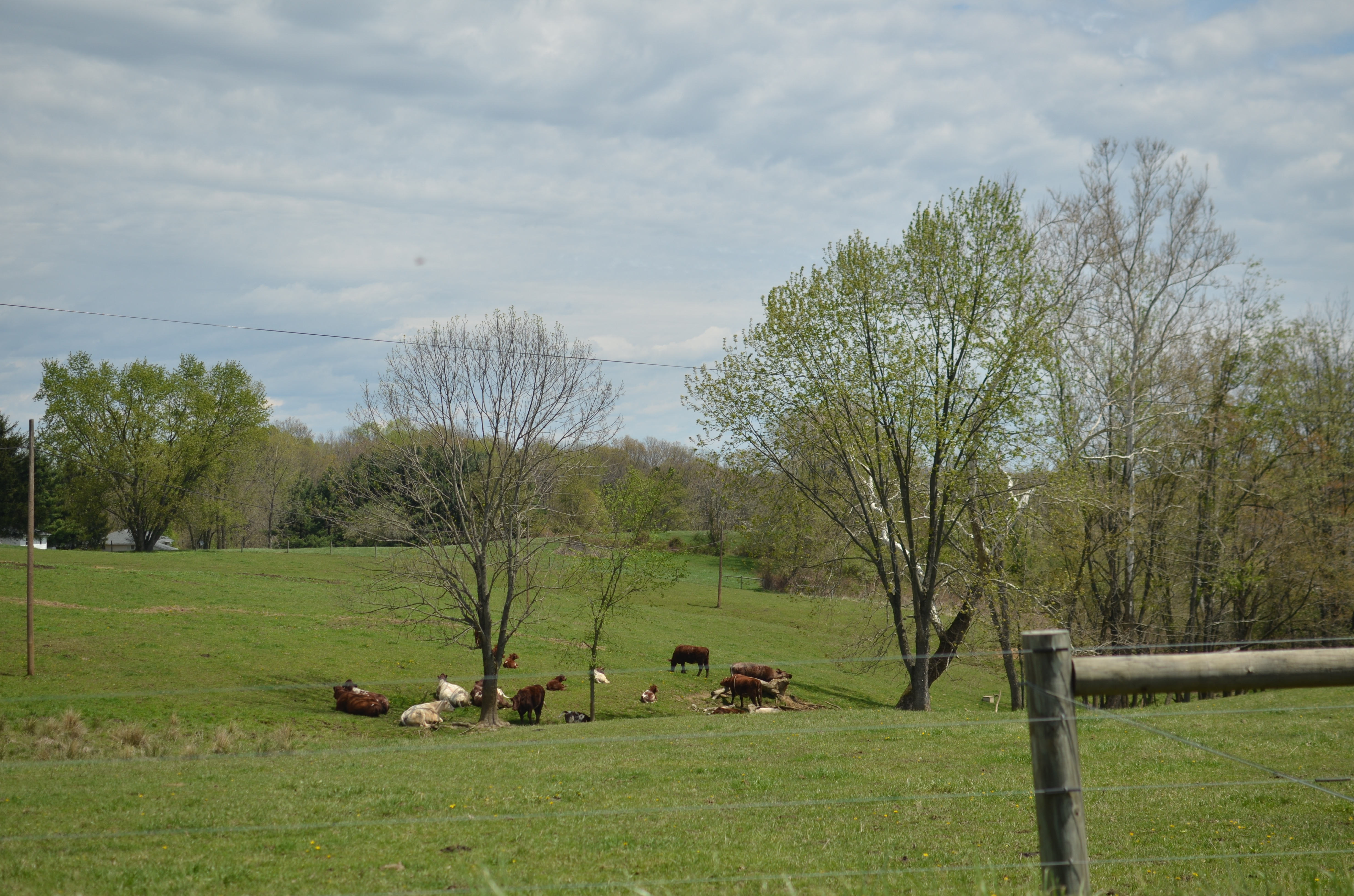
Log Barn - Clay Township, Muskingum County, OH
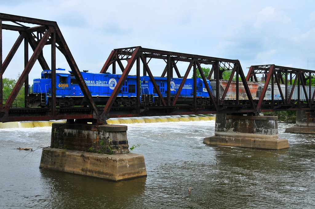
Conrail's Ghost
Old mill viewed from a train
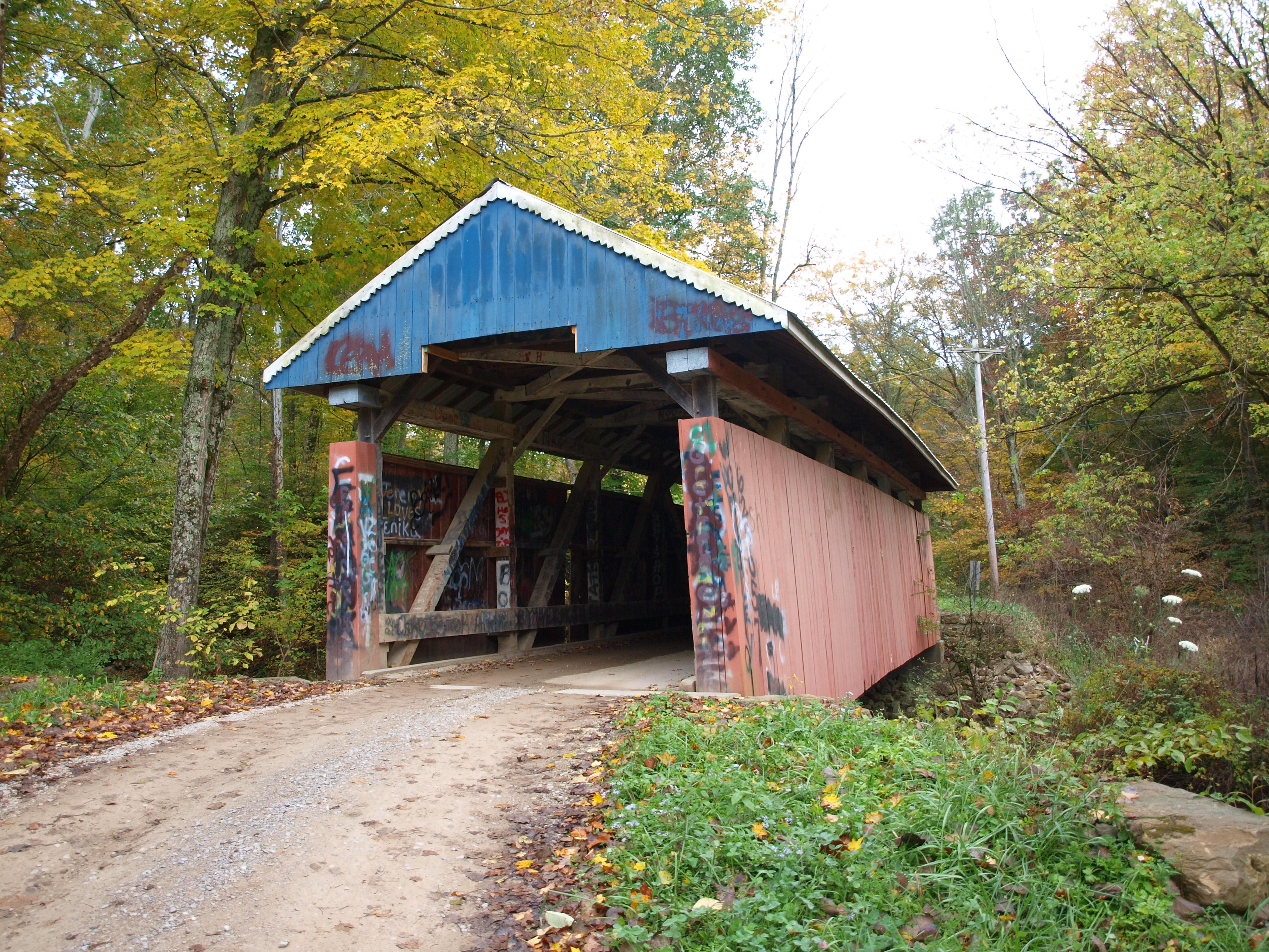
Jacks Hollow Covered Bridge, view from bridge, Perry County, Ohio
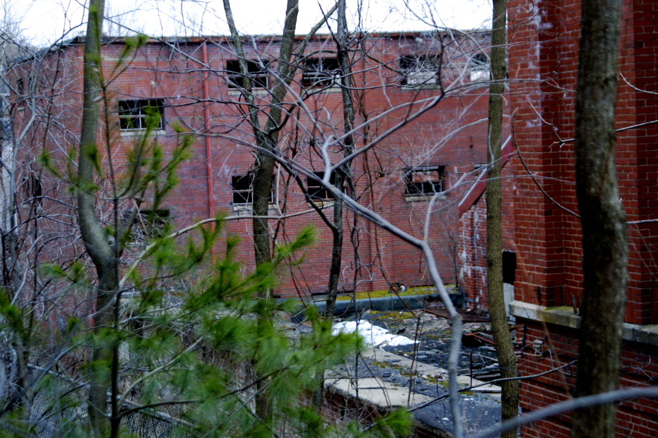
Building View 2
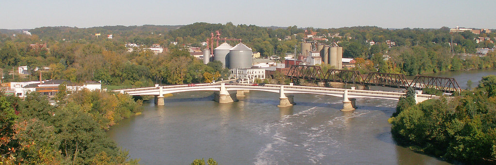
Y Bridge - Zanesville, Ohio
IMG_4158.JPG
Over the river comes the Super 7s
IMG_4143.JPG
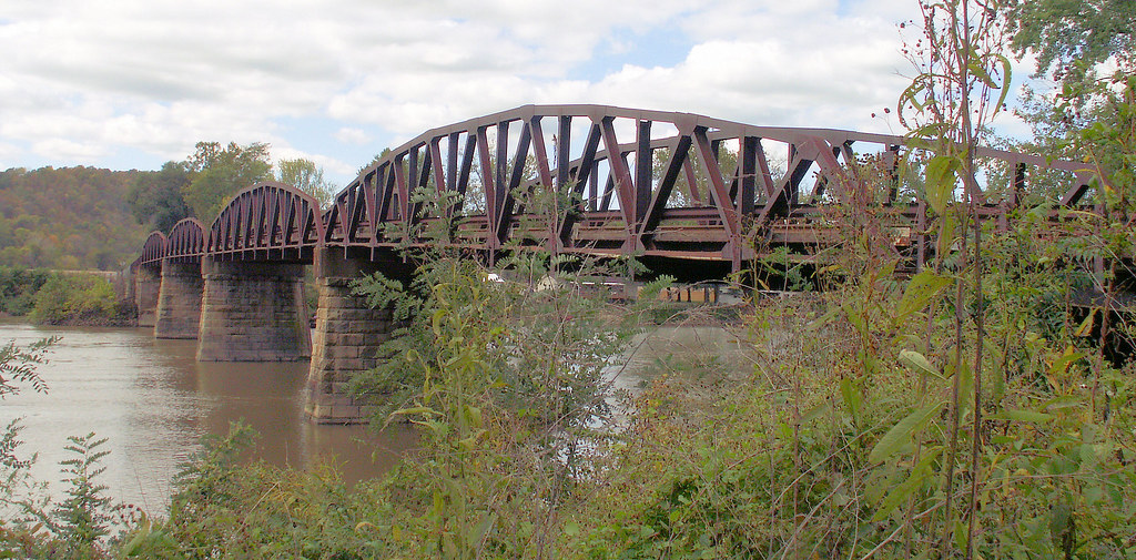
Gaysport Bridge
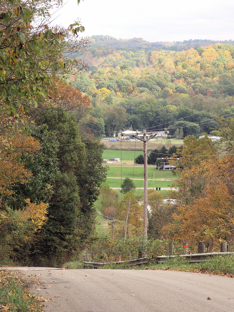
Muskingum River valley

View on the Muskingum near Zanesville, Ohio
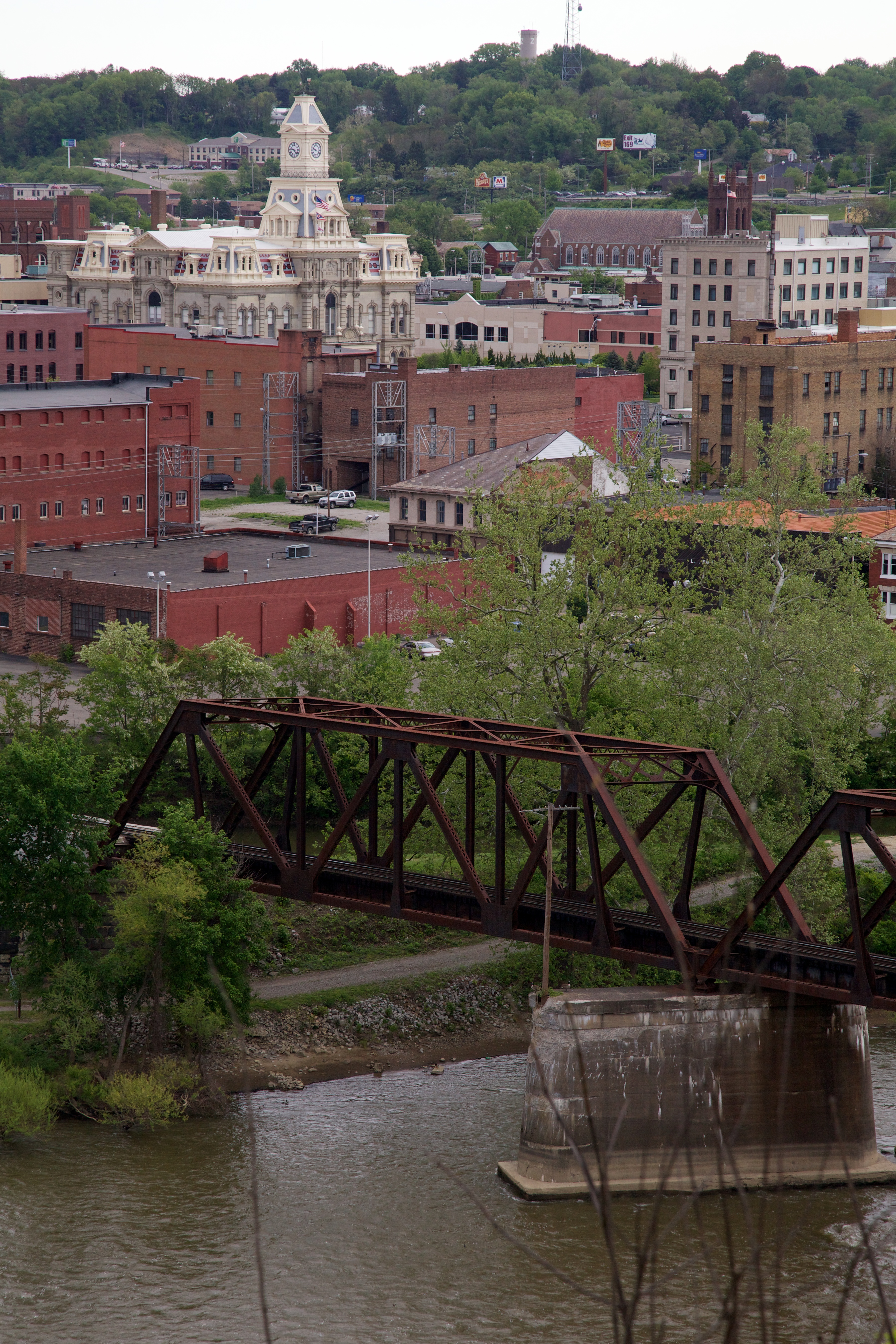
View of downtown Zanesville

View near Zanesville

_MG_0941.jpg

Goodmorning Zanesville
Projects 34.jpg
29CW1124.jpg

Amish Country, Ohio
Railroad Bridge, Zanesville, OH
Ohio ~ Zanesville

2012 mei Holiday Inn Zanesville uitzicht
Bridge at Zanesville, Ohio

Amish Country, Ohio
Zanesville OH 150

Zanesville OH 146
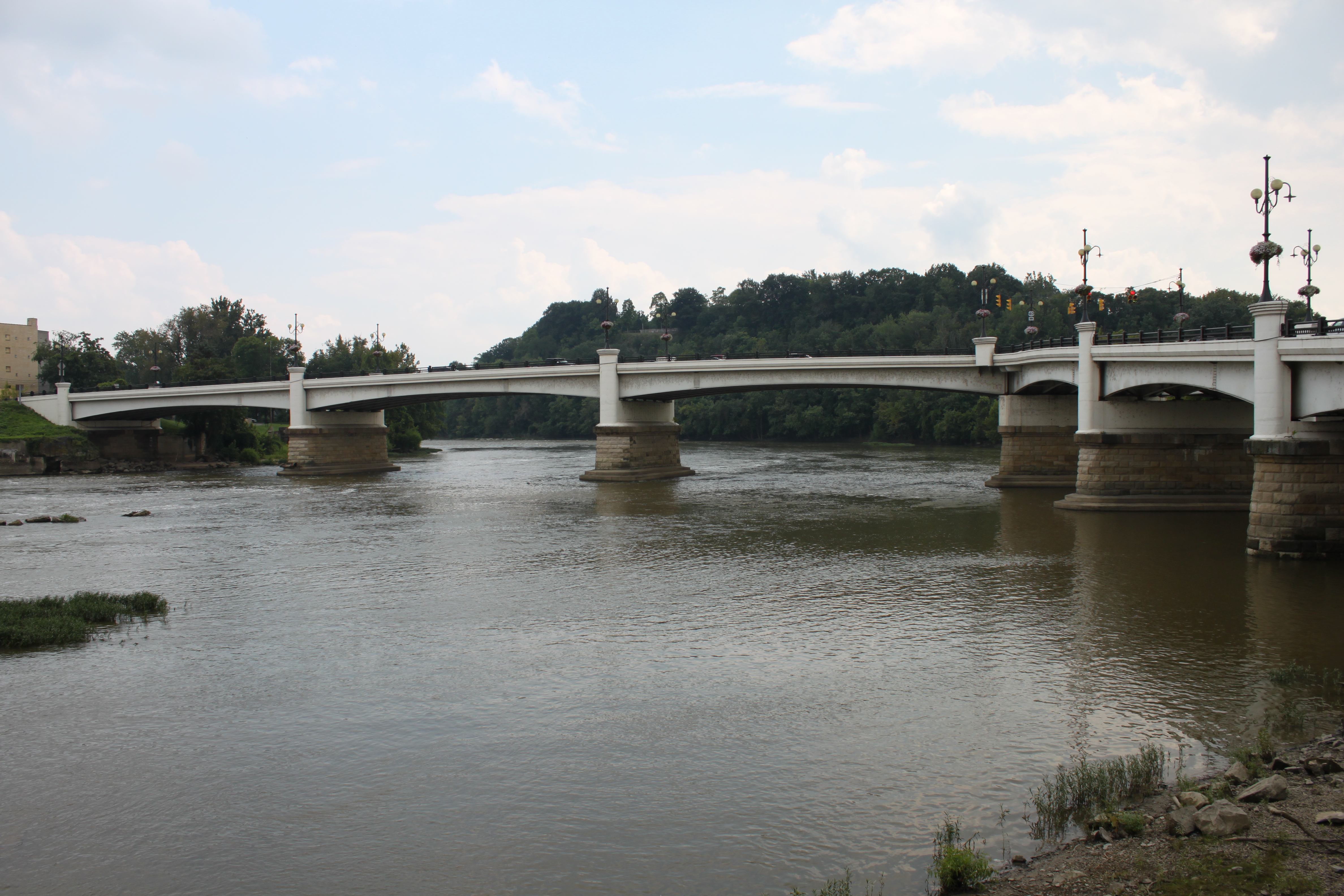
Y Bridge, Zanesville, OH

Trees Have Roots

some bold and vivid fall color
"Y" Bridge, Zanesville (Ohio), 23 August 1999

Clouds and sun
Zanesville OH 079
Topographic Map of Long St, Roseville, OH, USA
Find elevation by address:

Places near Long St, Roseville, OH, USA:
Roseville
Newton Township
3671 Leffler Rd
Back St, Roseville, OH, USA
Brush Creek Township
Tunnel Hill Rd, Crooksville, OH, USA
Tropic Rd, Crooksville, OH, USA
3175 Old River Rd
3176 Old River Rd
OH-93, Crooksville, OH, USA
Coopermill Rd, Zanesville, OH, USA
1308 Coopermill Rd
Tatmans Rd NE, Crooksville, OH, USA
Bearfield Township
Zanesville
12 US-40, Zanesville, OH, USA
800 Harvey St
Marjorie And Butch's School Of Dance Llc (studio 51)
North 3rd Street
1072 Harvey St
Recent Searches:
- Elevation of Fern Rd, Whitmore, CA, USA
- Elevation of 62 Abbey St, Marshfield, MA, USA
- Elevation of Fernwood, Bradenton, FL, USA
- Elevation of Felindre, Swansea SA5 7LU, UK
- Elevation of Leyte Industrial Development Estate, Isabel, Leyte, Philippines
- Elevation of W Granada St, Tampa, FL, USA
- Elevation of Pykes Down, Ivybridge PL21 0BY, UK
- Elevation of Jalan Senandin, Lutong, Miri, Sarawak, Malaysia
- Elevation of Bilohirs'k
- Elevation of 30 Oak Lawn Dr, Barkhamsted, CT, USA