Elevation of Long Ridge, New Mexico, USA
Location: United States > New Mexico > Otero County > Alamogordo >
Longitude: -105.86527
Latitude: 32.8222222
Elevation: 2411m / 7910feet
Barometric Pressure: 76KPa
Elevation Map:
Satellite Map:
Related Photos:

Desert life
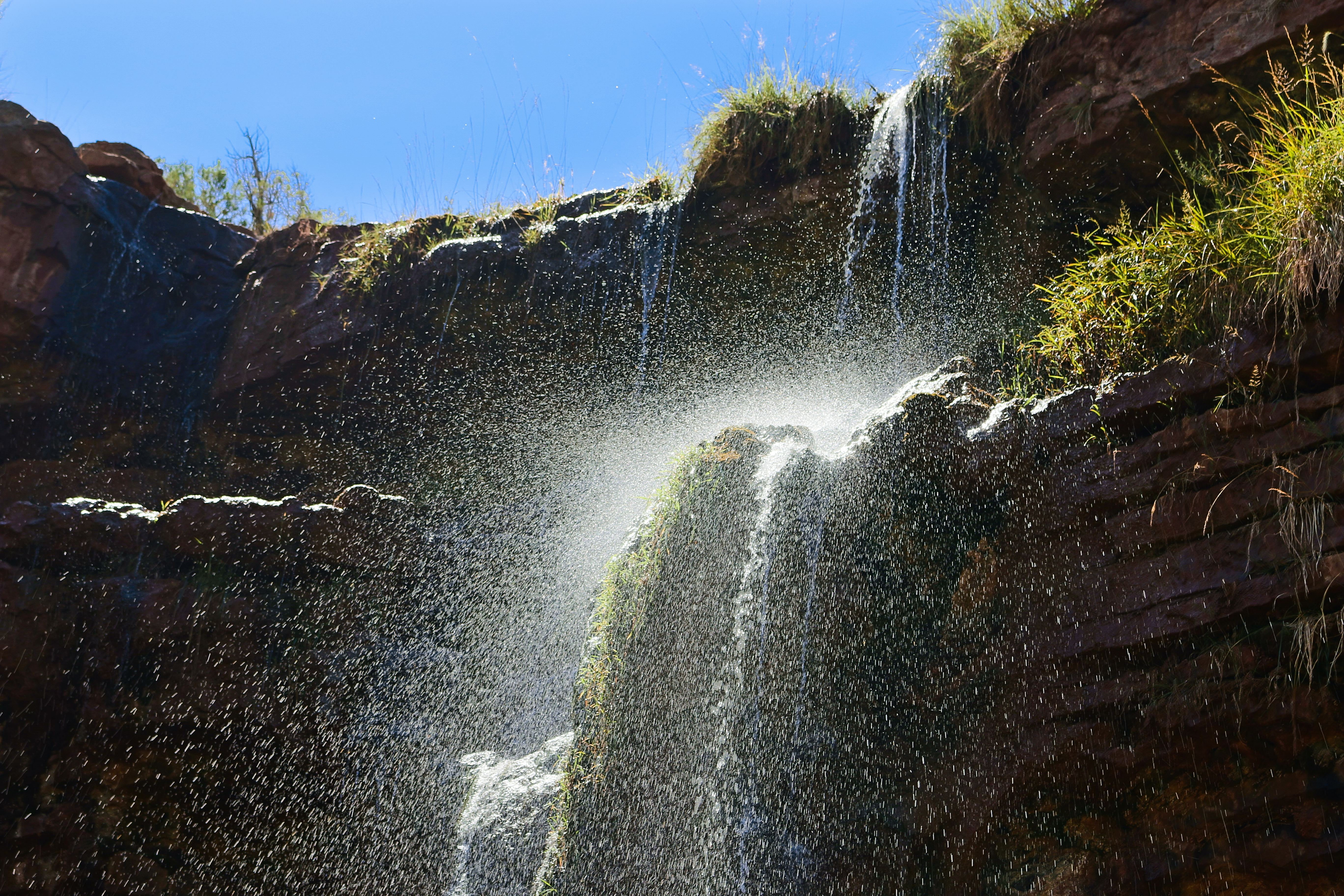
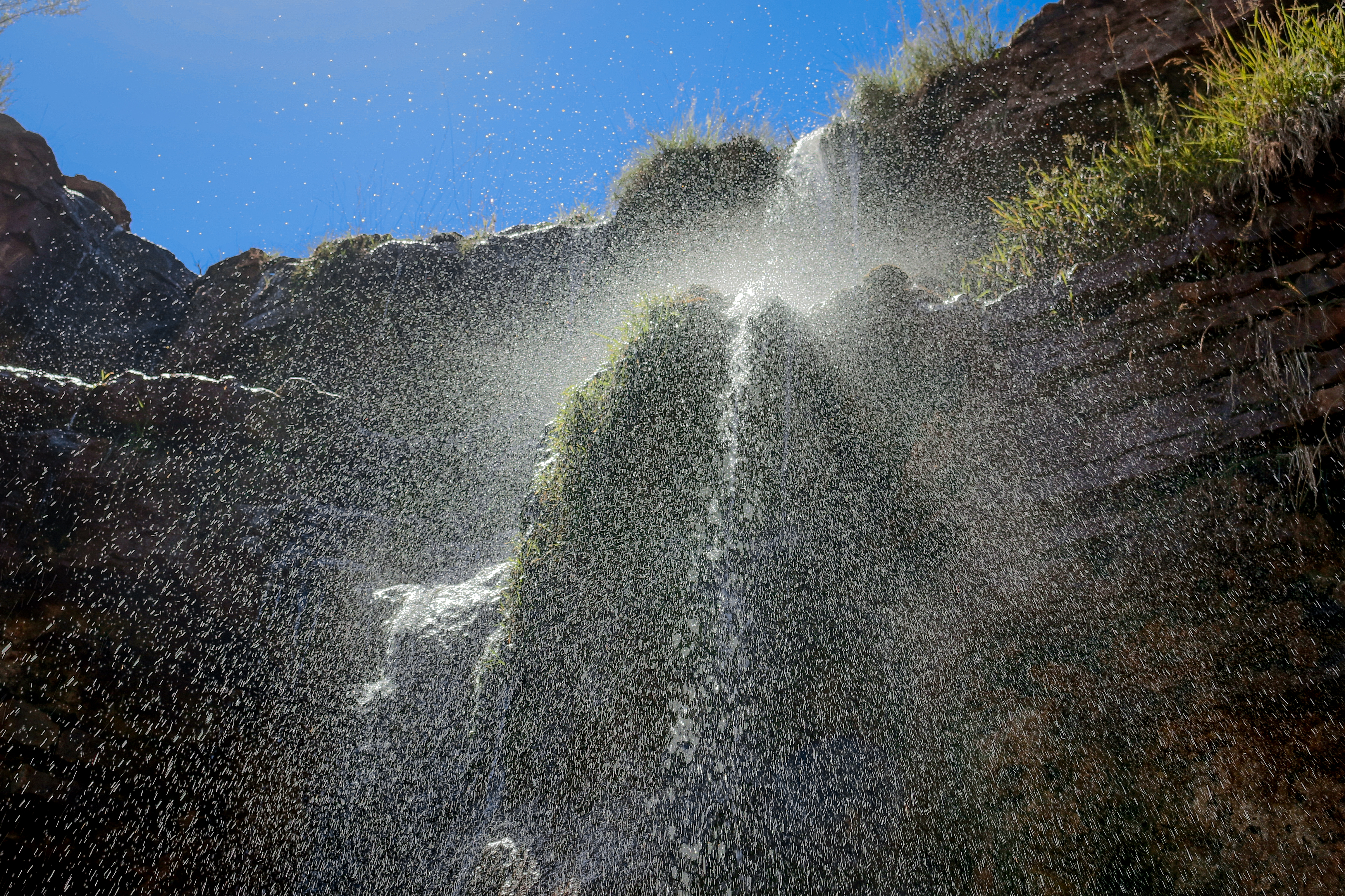
Bridal Veil Falls hike-0062
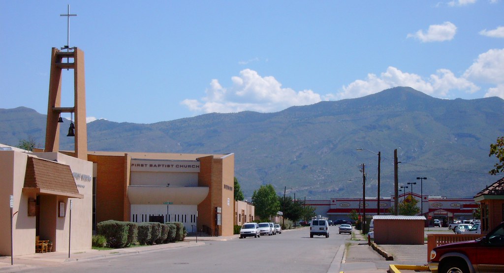
Sacramento Mountains (Alamogordo, New Mexico)

High Rolls - Farsightedness
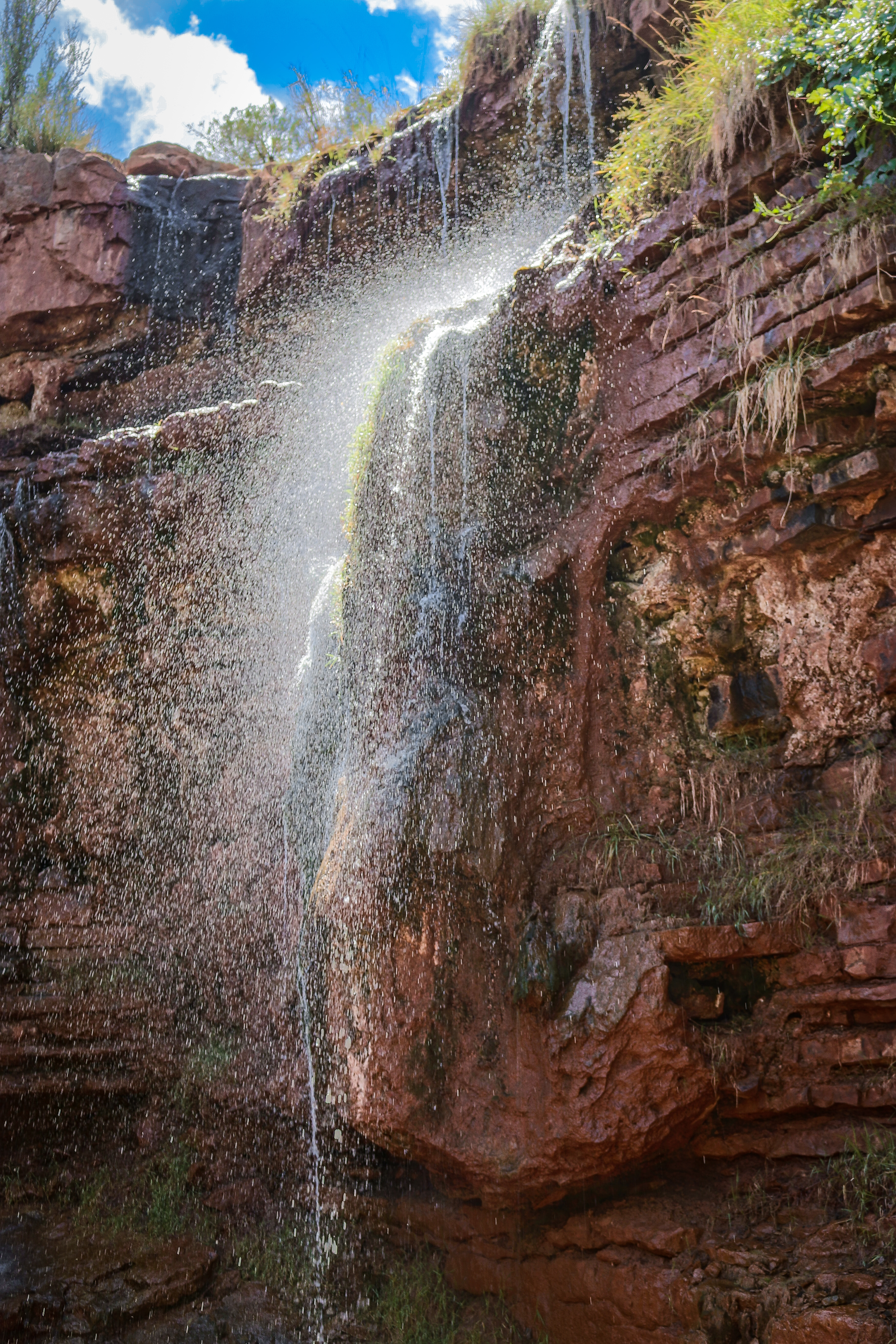
Bridal Veil Falls hike-0098
High Rolls Mountain View

Sacramento Mountains

Bridal Veil Falls hike-0114
Bridal Veil Falls hike-0095
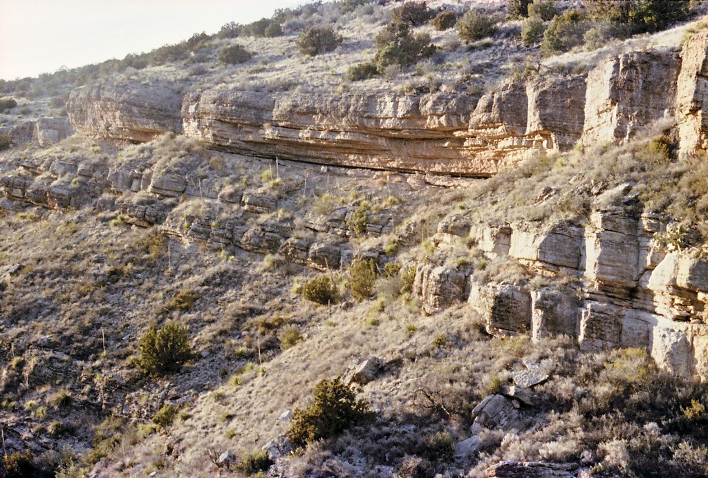
Rocky ledges
Tunnel vision
Sunspot Hwy View

Walking On Water
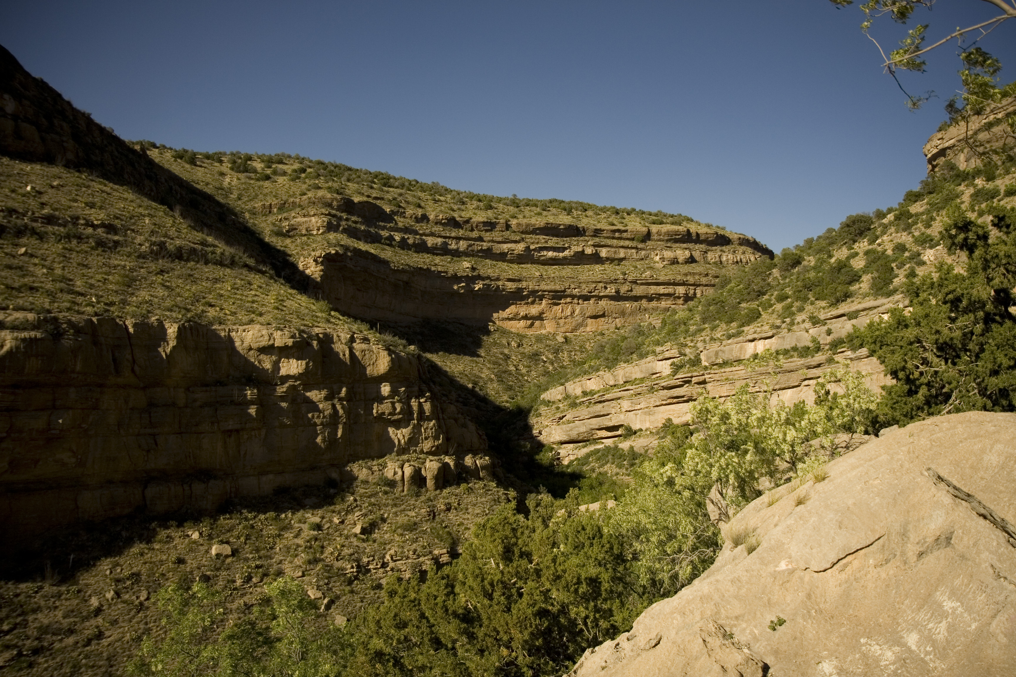
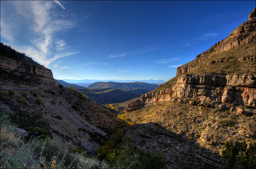
Fresnal Canyon
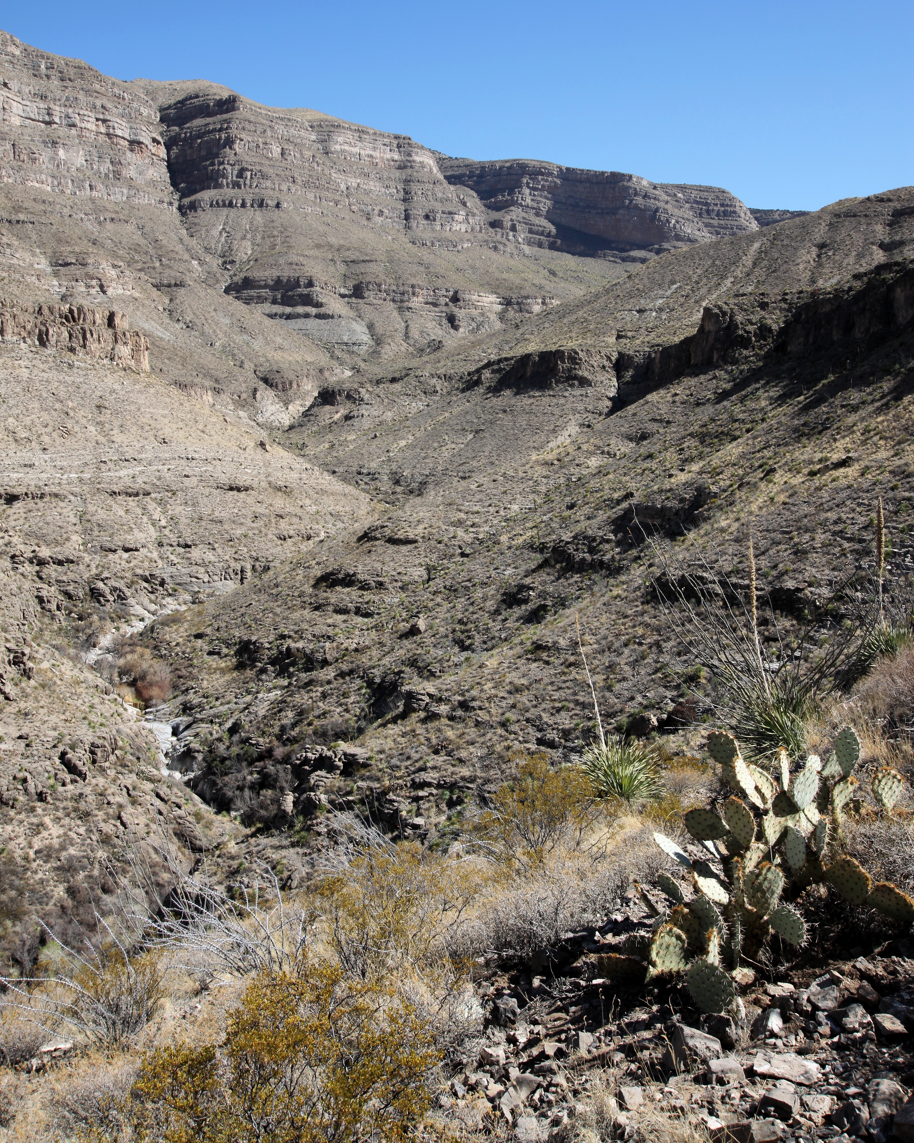
Dog Canyon

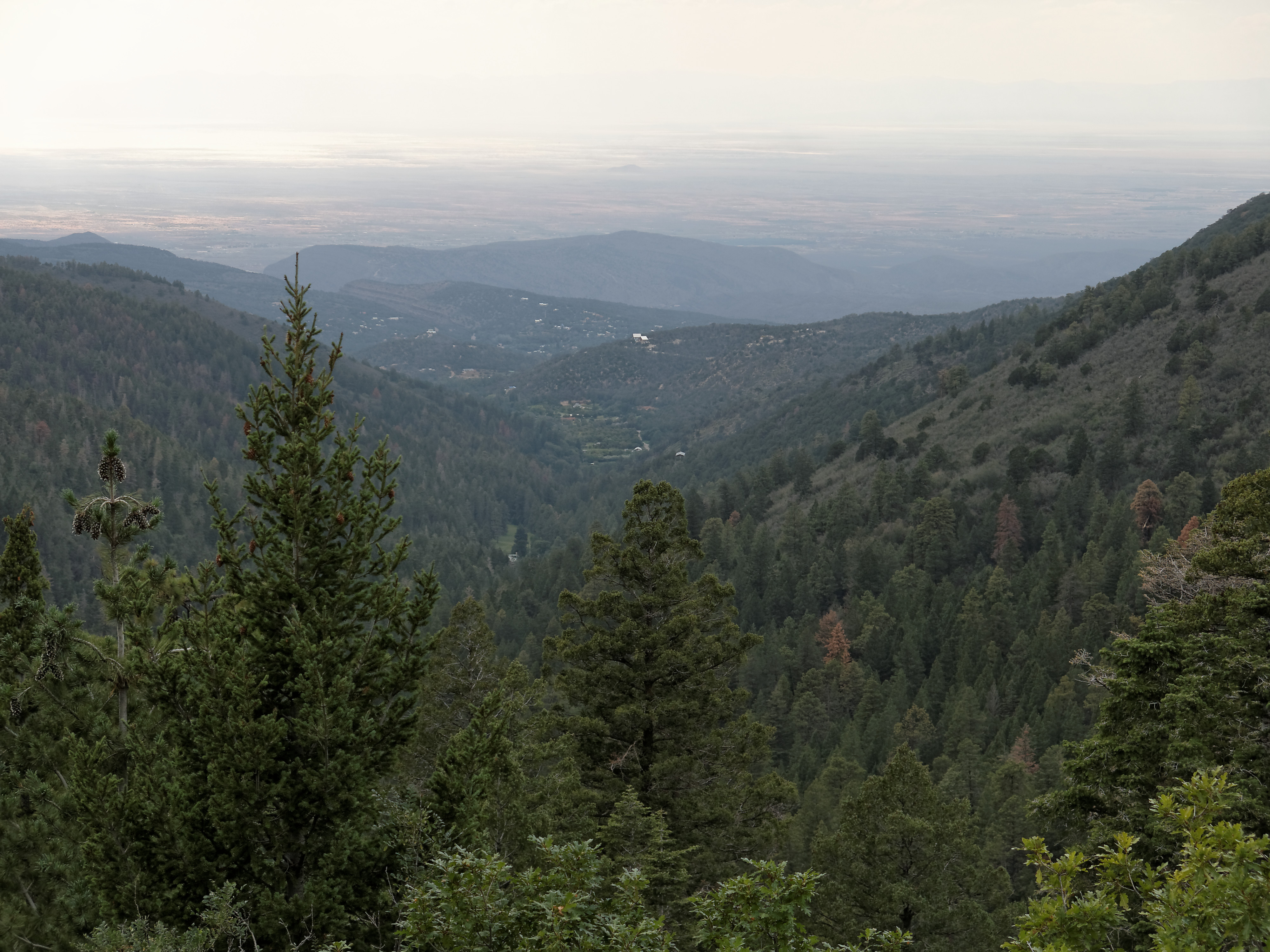
Mountain view
hillside canyon view
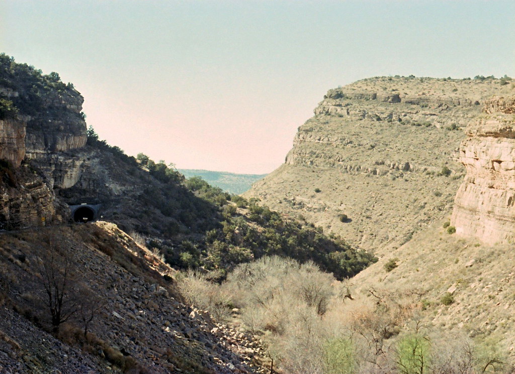
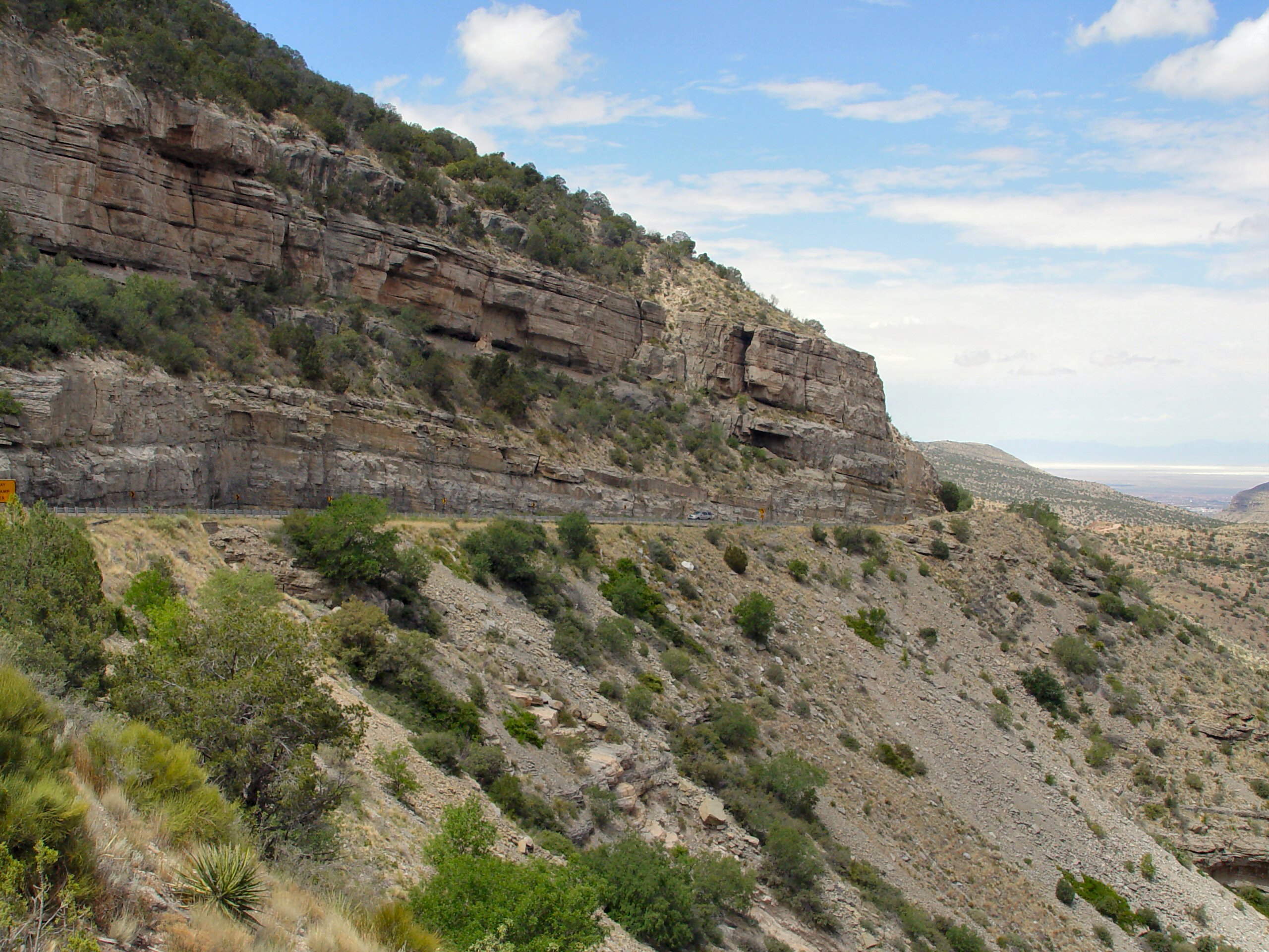
View of White Sands from the Hwy 82 tunnel, Lincoln National Forest, New Mexico 04
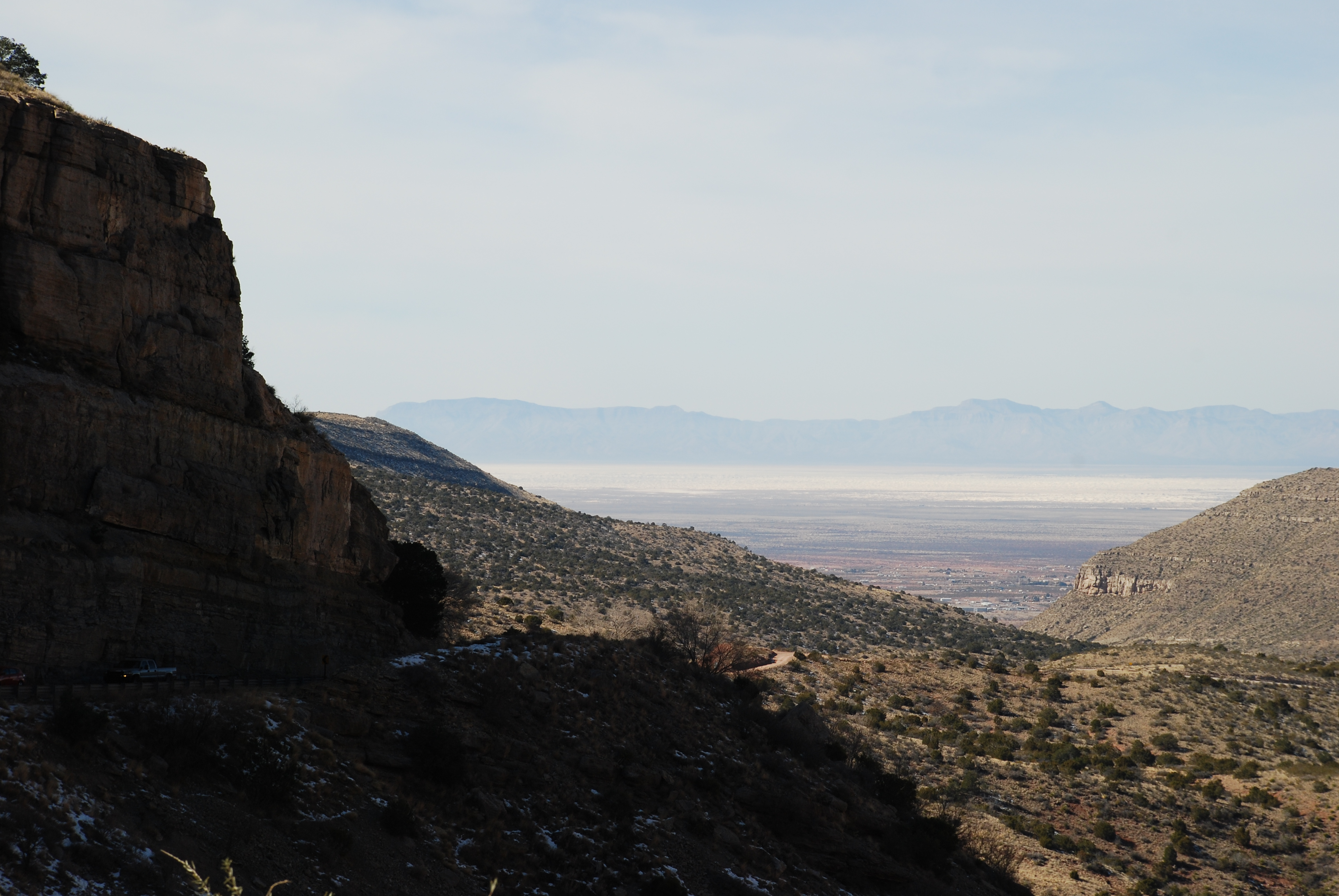
View of White Sands from the Hwy 82 tunnel, Lincoln National Forest, New Mexico
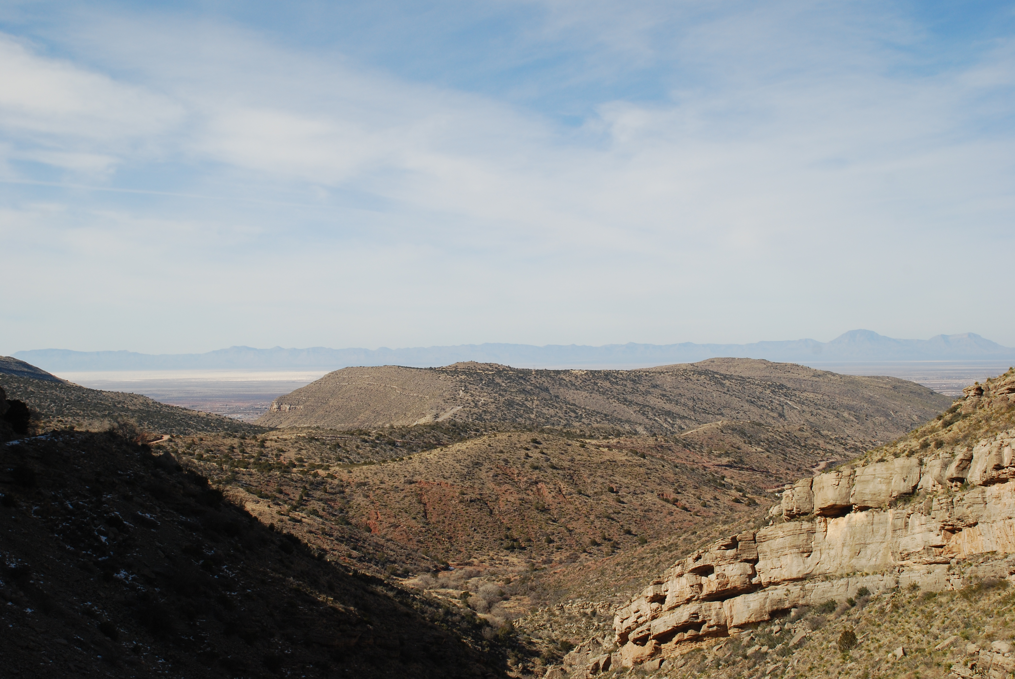
View of White Sands from the Hwy 82 tunnel, Lincoln National Forest, New Mexico 03
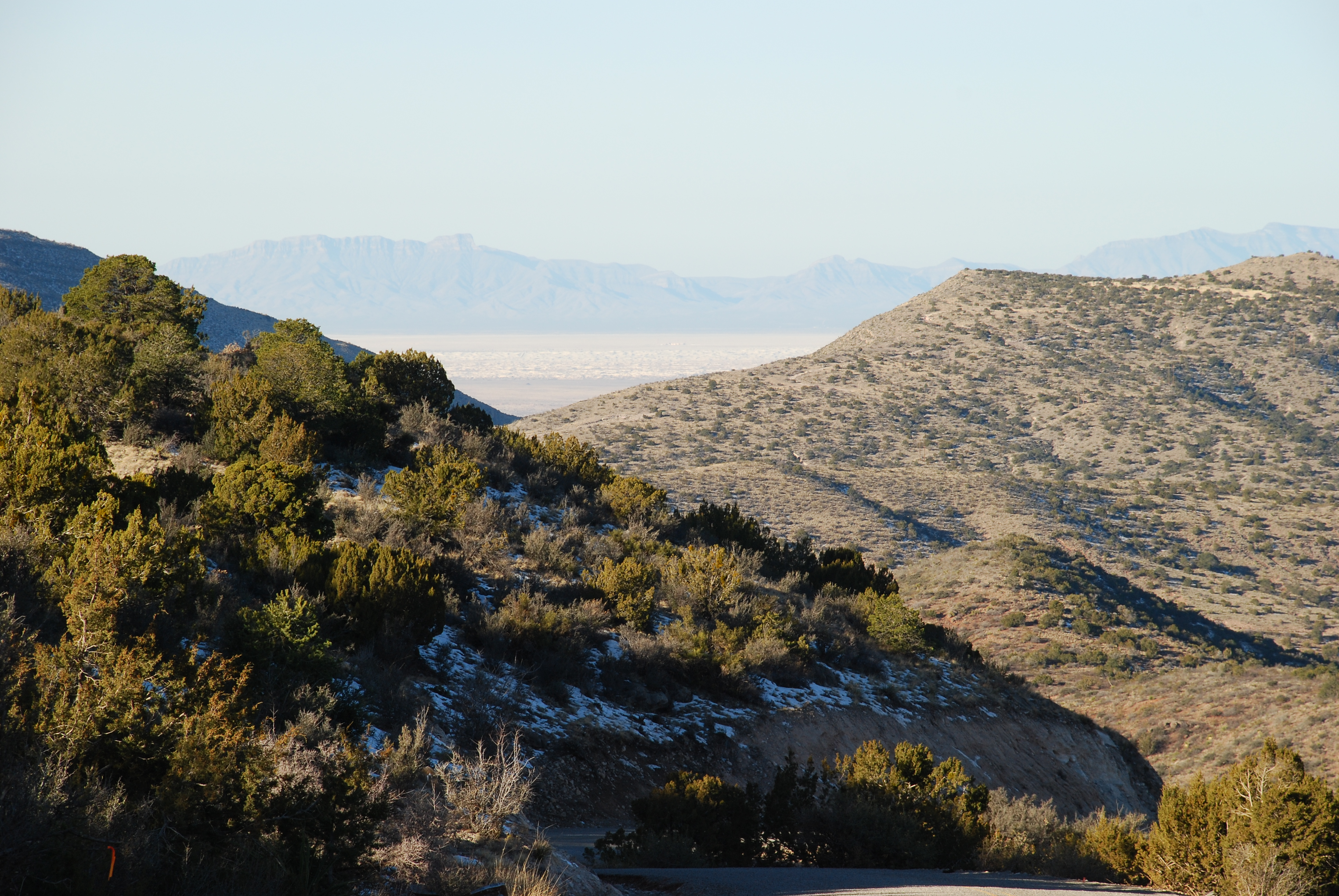
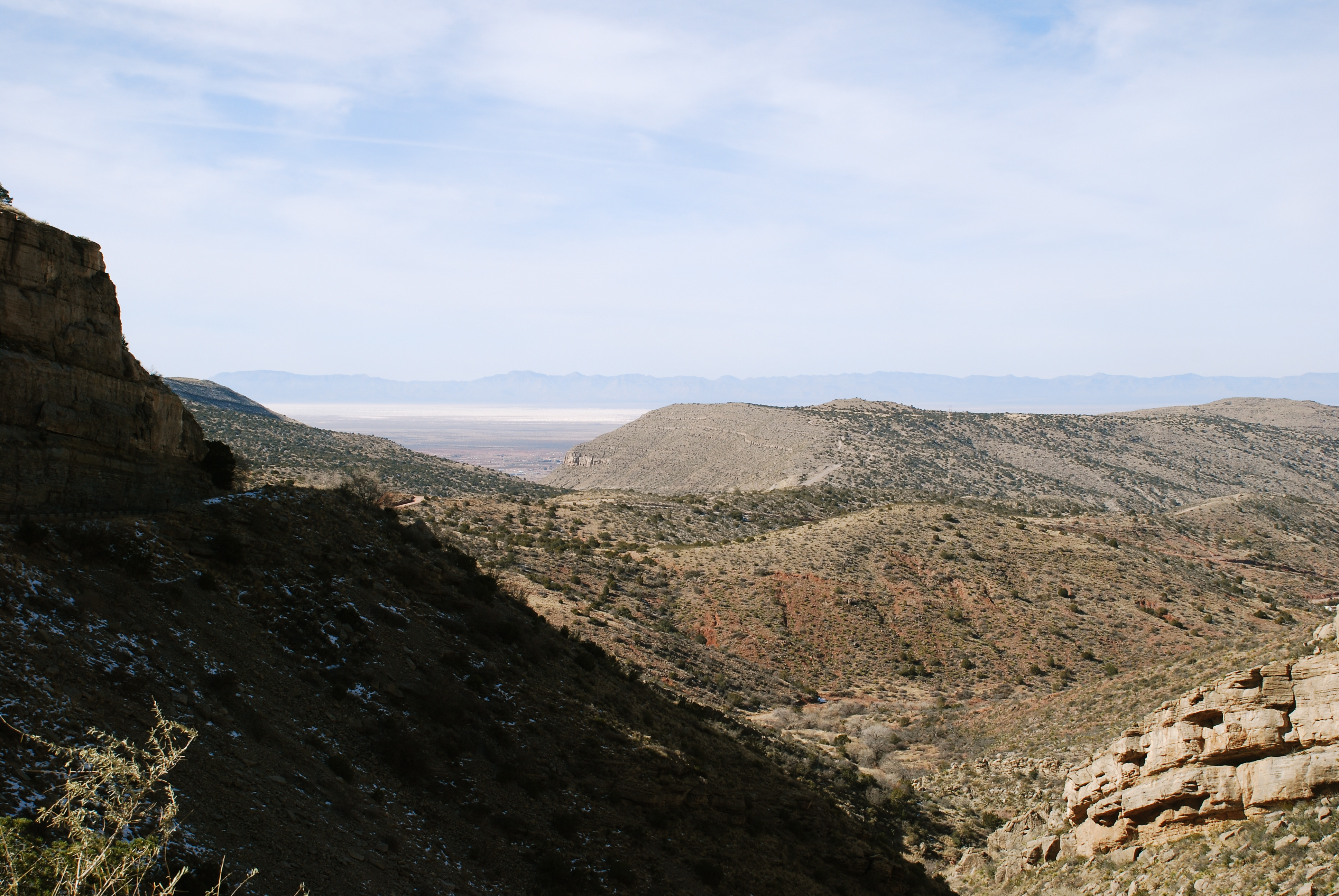
View of White Sands from Lincoln National Forest, High Rolls, New Mexico
Topographic Map of Long Ridge, New Mexico, USA
Find elevation by address:

Places near Long Ridge, New Mexico, USA:
West Side Road
Steamboat
Sunspot
Hershberger Peak
Cathey Peak
Ortega Peak
Oliver Lee Memorial State Park
Horse Ridge
408 Spruce Ave
900 Panorama Blvd
3013 Del Prado
1501 Granada
700 Venus Ave
1408 Park Ave
2001 E 10th St
1529 Granada
300 Plainview Dr
West Side Road
West Side Road
1502 Park Ave
Recent Searches:
- Elevation of Corso Fratelli Cairoli, 35, Macerata MC, Italy
- Elevation of Tallevast Rd, Sarasota, FL, USA
- Elevation of 4th St E, Sonoma, CA, USA
- Elevation of Black Hollow Rd, Pennsdale, PA, USA
- Elevation of Oakland Ave, Williamsport, PA, USA
- Elevation of Pedrógão Grande, Portugal
- Elevation of Klee Dr, Martinsburg, WV, USA
- Elevation of Via Roma, Pieranica CR, Italy
- Elevation of Tavkvetili Mountain, Georgia
- Elevation of Hartfords Bluff Cir, Mt Pleasant, SC, USA