Elevation of Long Prairie Ln, Scottsburg, OR, USA
Location: United States > Oregon > Douglas County > Scottsburg >
Longitude: -123.78673
Latitude: 43.6580609
Elevation: -10000m / -32808feet
Barometric Pressure: 295KPa
Elevation Map:
Satellite Map:
Related Photos:

Bull Elk with Bird on Back

Round the bend

Umpqua River - DSC03835

Richest carbon sinks in the world are being clearcut by the state of Oregon

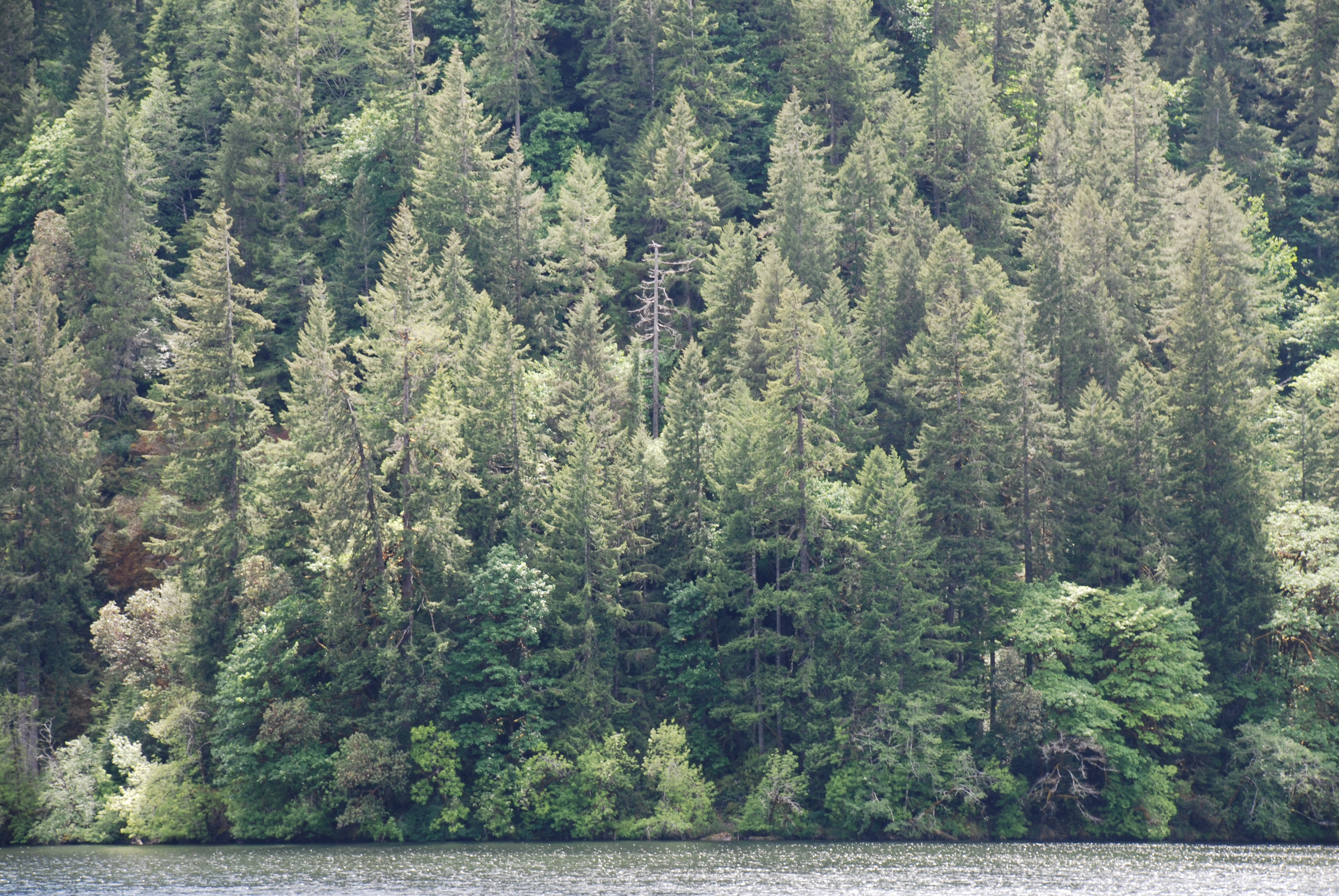
Umpqua River Bend

PIX-IMG_7302HDTV-Test-g

PIX-IMG_7268HDTV-Test-g

PIX-IMG_7284HDTV-Test-g

Smith River Falls, Oregon

Into the great wide open | Under them skies of blue

Loon Lake Waterfall
loon lake and spruce.jpg

Mill Creek

Canoeing on Mill Creek

beehive rock detail.jpg

Amber Tubing on Mill Creek

Rhododendron in the Elliott
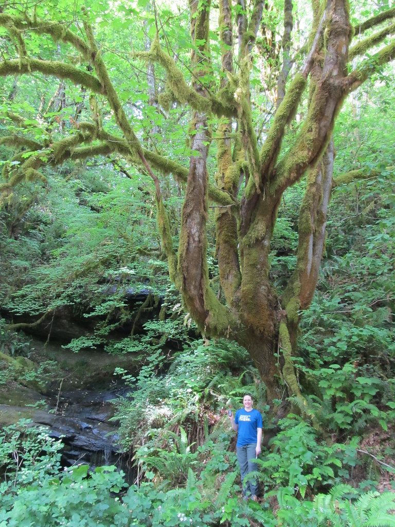
1 into 4 Maple Tree

This Happened a Lot ... the water wasn't very deep
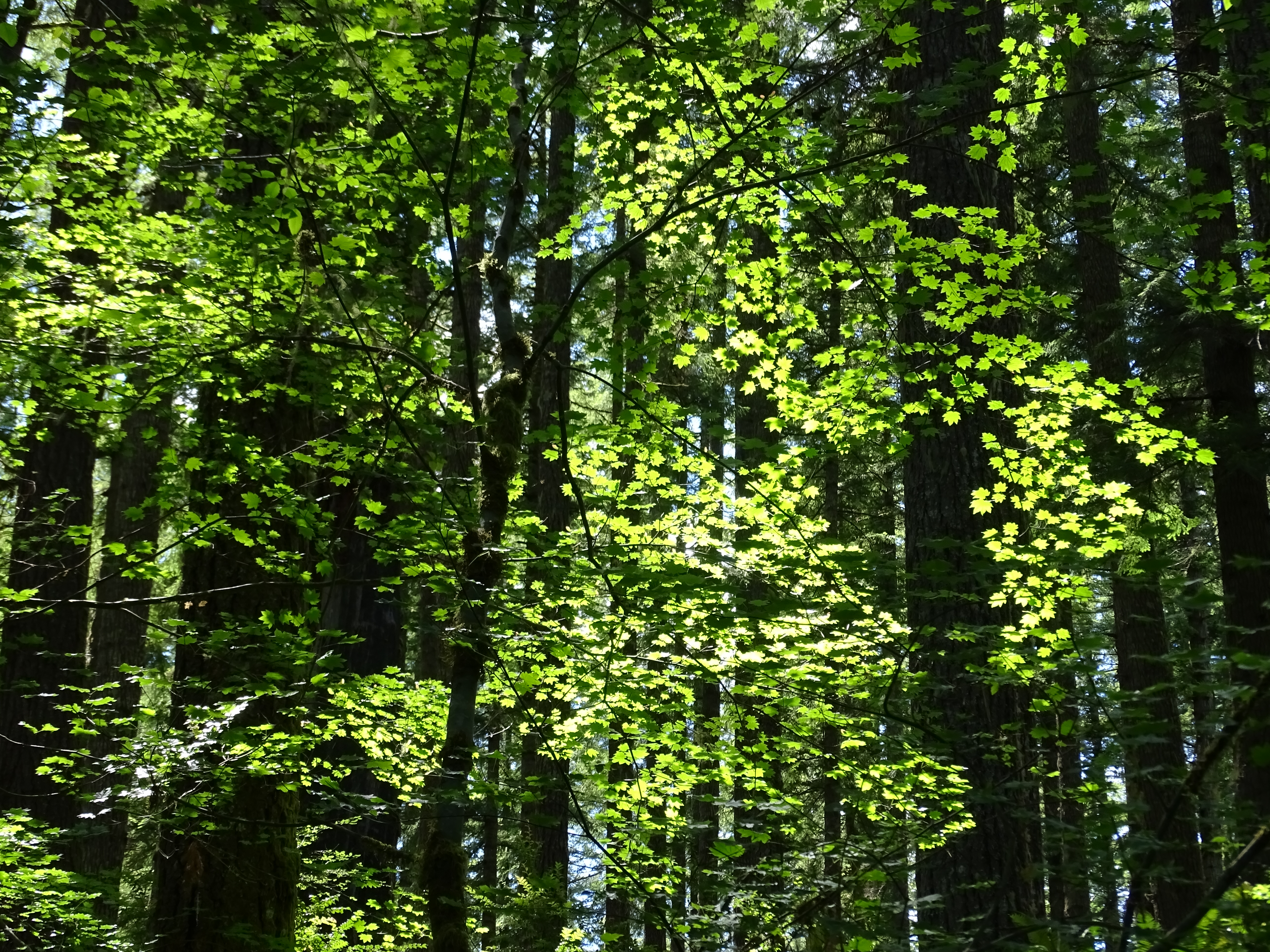
Vine Maple

Elliott State Forest

Elliott State Forest
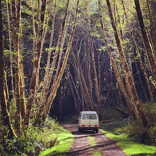
Rusty and I went exploring in the Coast Range.
Topographic Map of Long Prairie Ln, Scottsburg, OR, USA
Find elevation by address:

Places near Long Prairie Ln, Scottsburg, OR, USA:
498 Golden Dr
275 Burchard Dr
1718 Lutsinger Creek Rd
5812 Lutsinger Creek Rd
OR-38, Scottsburg, OR, USA
OR-38, Scottsburg, OR, USA
Scottsburg
Scottsburg
Scottsburg
Scottsburg
Scottsburg
Scottsburg
Scottsburg
Scottsburg
Scottsburg
Scottsburg
Scottsburg
Scottsburg
1850 Scottsburg Rd W
2110 Scottsburg Rd W
Recent Searches:
- Elevation of Warwick, RI, USA
- Elevation of Fern Rd, Whitmore, CA, USA
- Elevation of 62 Abbey St, Marshfield, MA, USA
- Elevation of Fernwood, Bradenton, FL, USA
- Elevation of Felindre, Swansea SA5 7LU, UK
- Elevation of Leyte Industrial Development Estate, Isabel, Leyte, Philippines
- Elevation of W Granada St, Tampa, FL, USA
- Elevation of Pykes Down, Ivybridge PL21 0BY, UK
- Elevation of Jalan Senandin, Lutong, Miri, Sarawak, Malaysia
- Elevation of Bilohirs'k