Elevation of Long Creek, IA, USA
Location: United States > Iowa > Decatur County >
Longitude: -93.845173
Latitude: 40.8745876
Elevation: 301m / 988feet
Barometric Pressure: 98KPa
Elevation Map:
Satellite Map:
Related Photos:

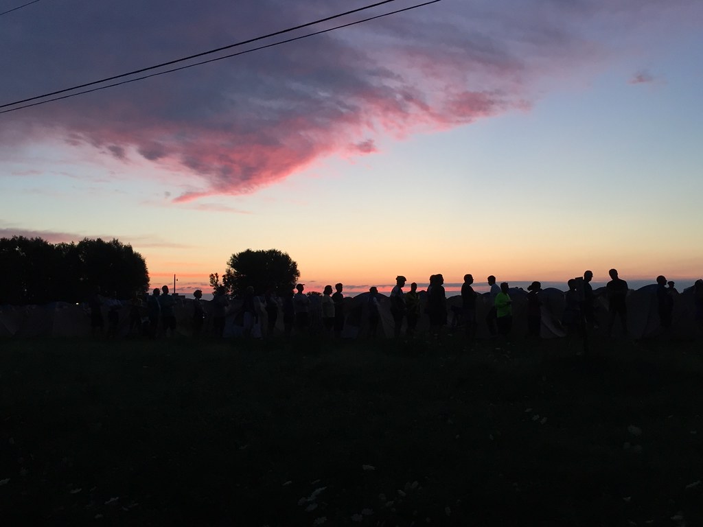
Clarke County Sunrise

Clarke County Sunrise

Clarke County Sunrise

Clarke County Sunrise
RAGBRAI 2016

RAGBRAI 2016

Besökare Samtidigt
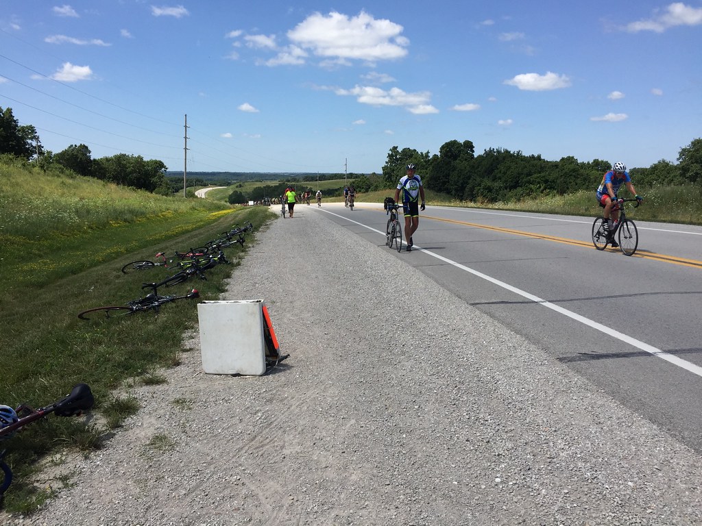
RAGBRAI 2016
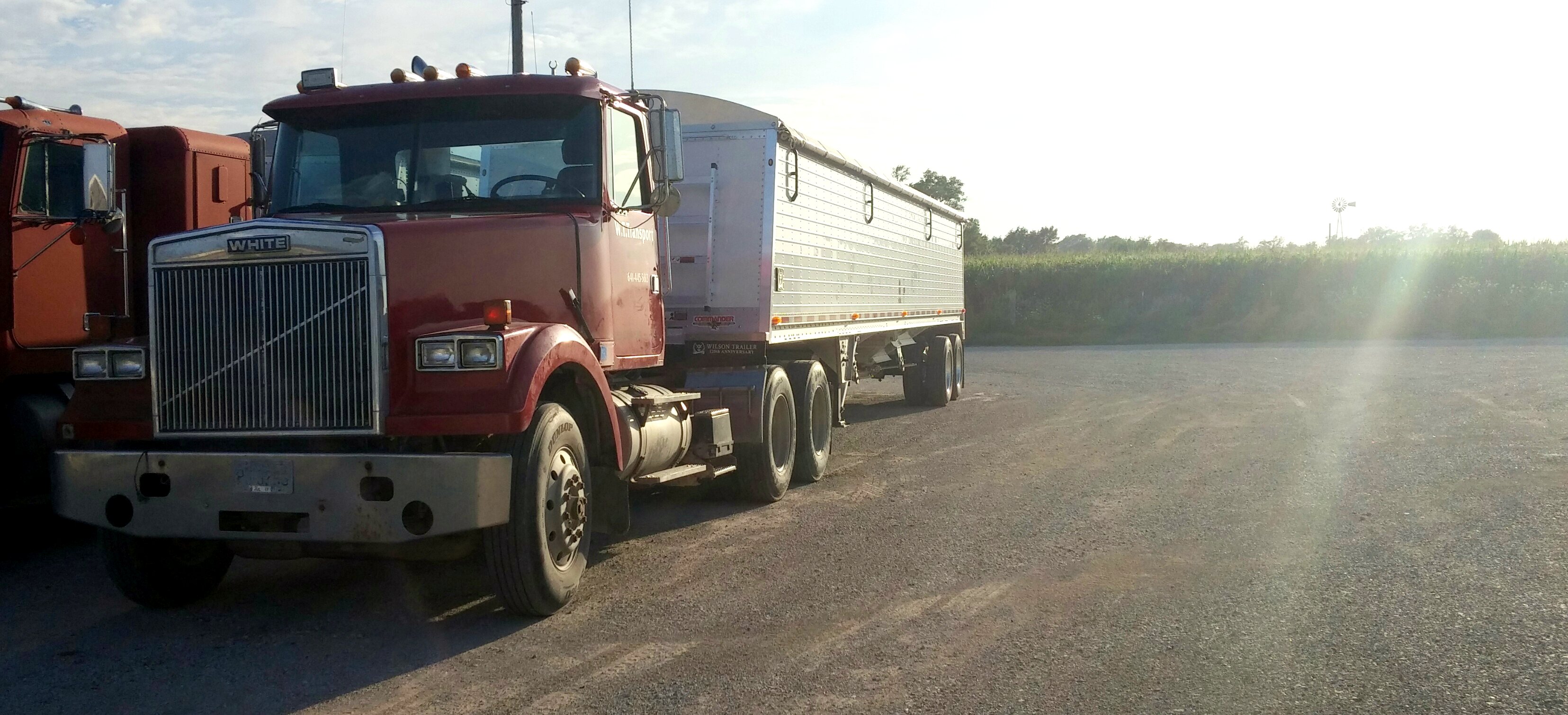
White Motor Company truck at sundown
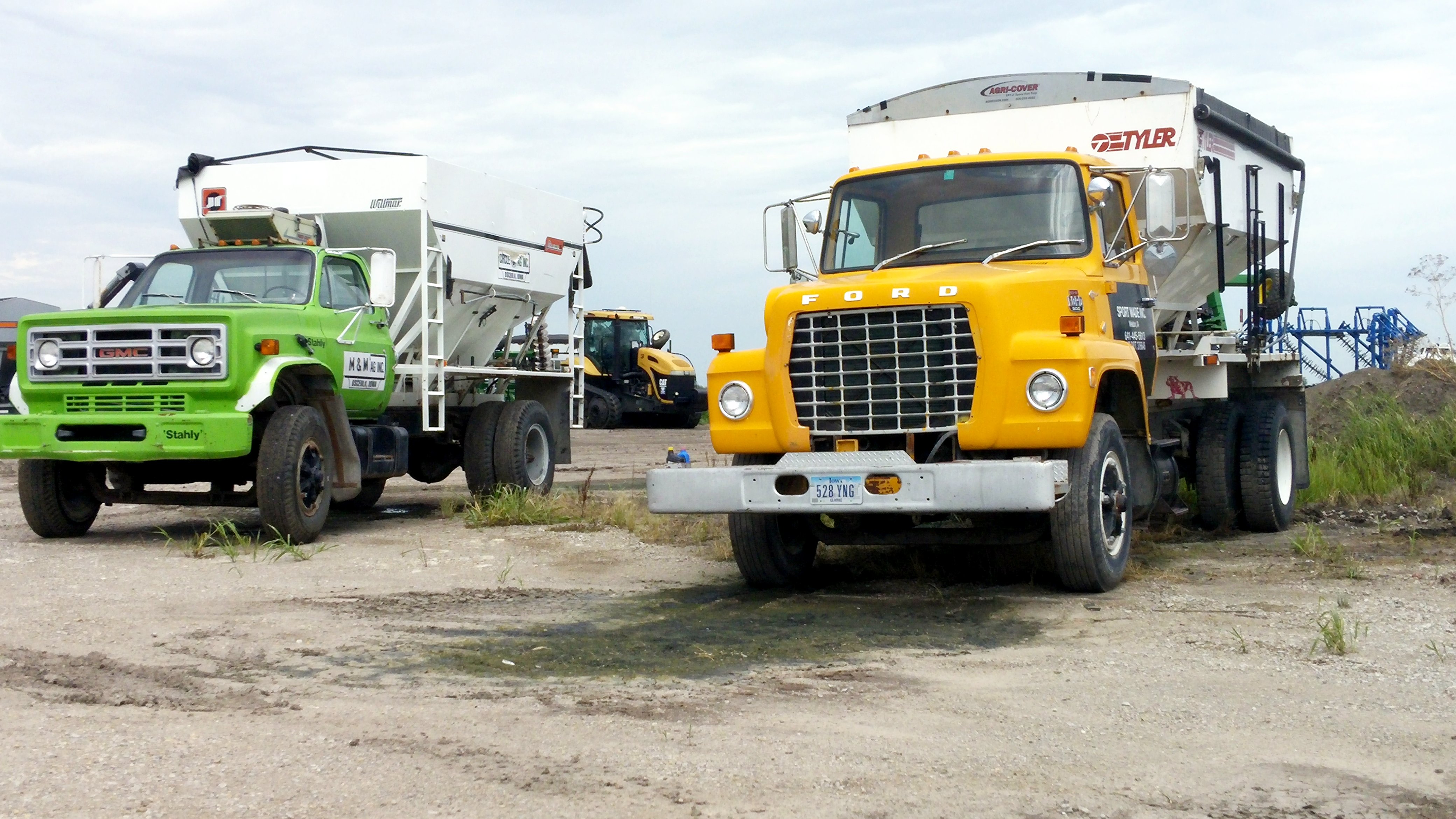
GMC and Ford Feed Truck

White Motor Company (red) truck
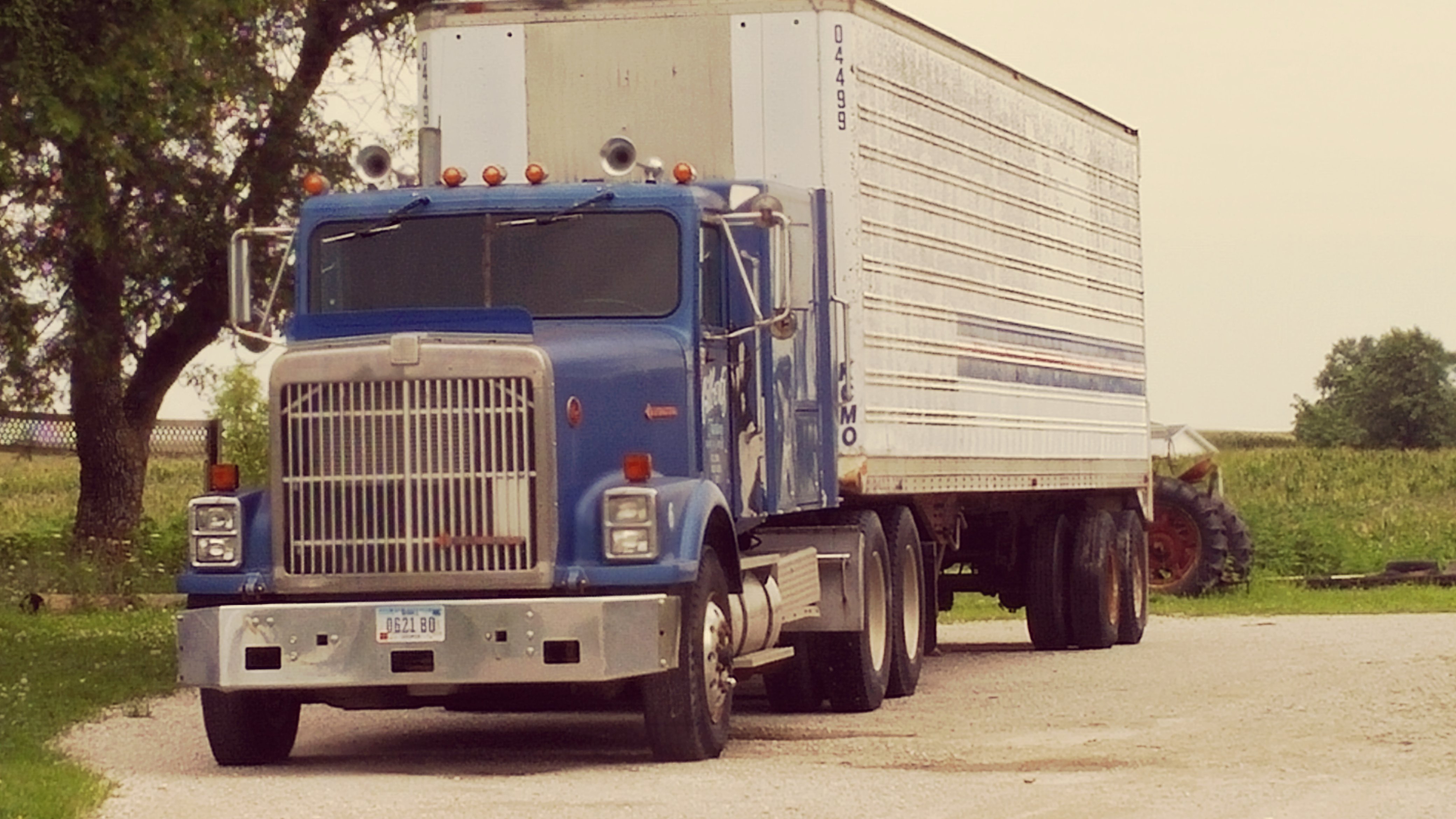
Blue International truck

The Mormon Trail Marker (Clarke County, Iowa)
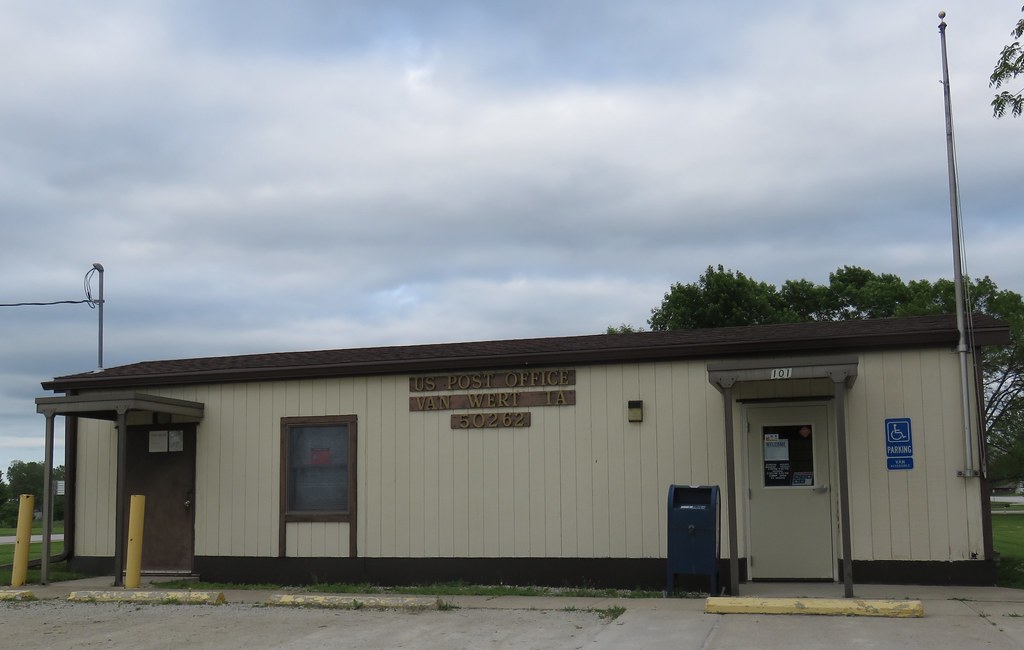
Post Office 50262 (Van Wert, Iowa)
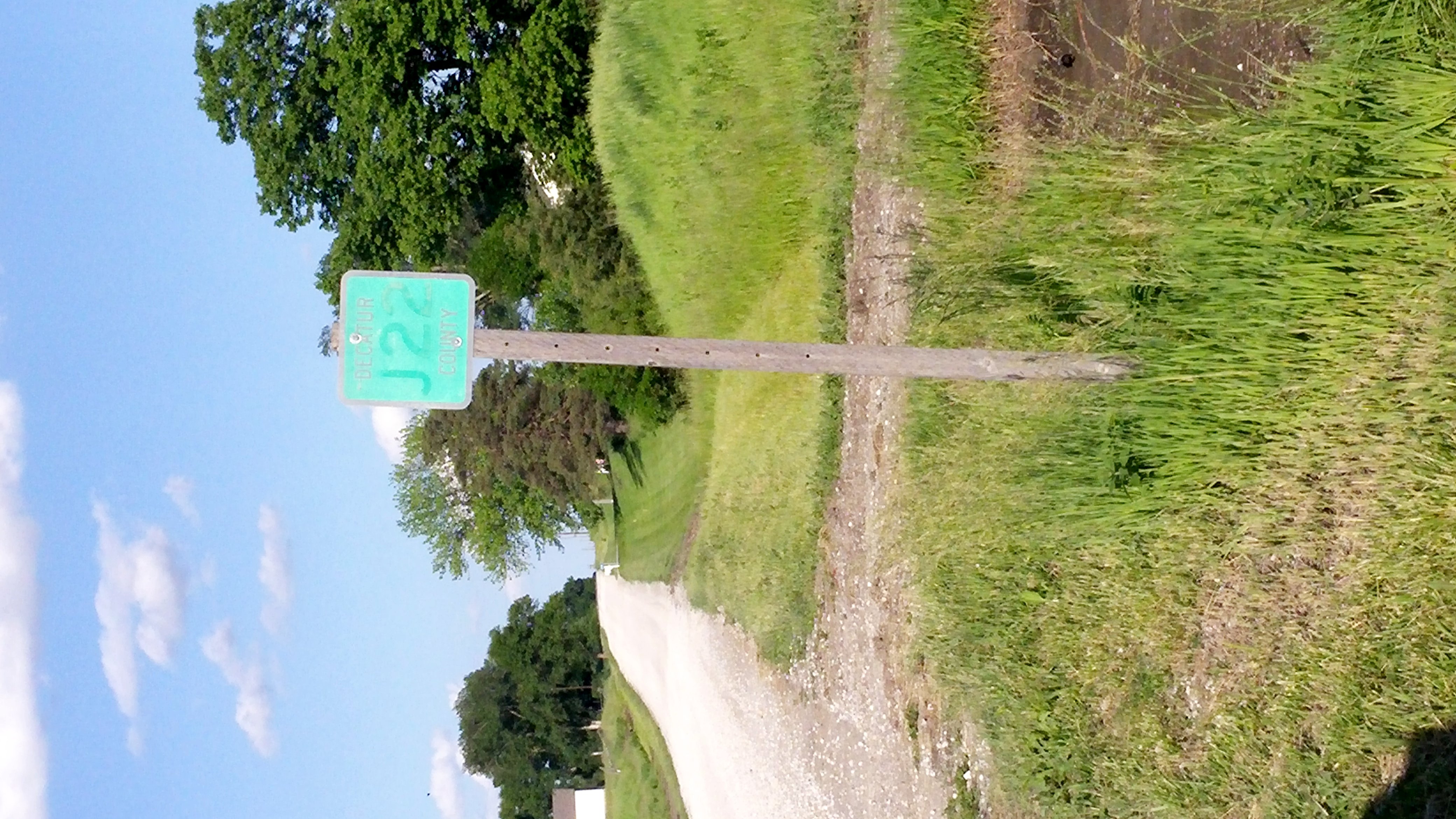
J22 Decatur County road

2009 Jeep Wrangler X and 2010 Chevrolet Tahoe SSV
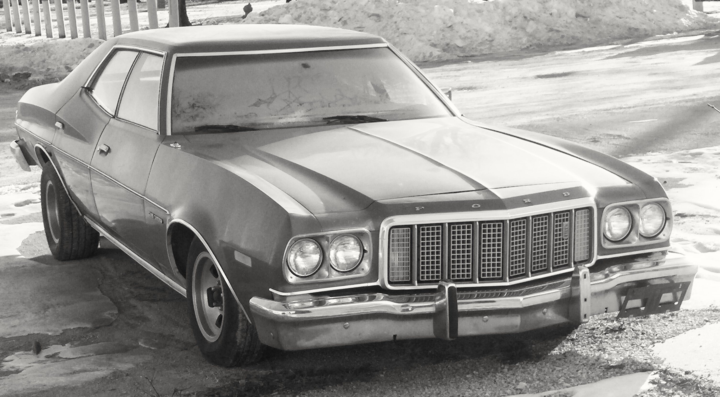
Ford Gran Torino

White Freightliner Truck

International Truck (2)
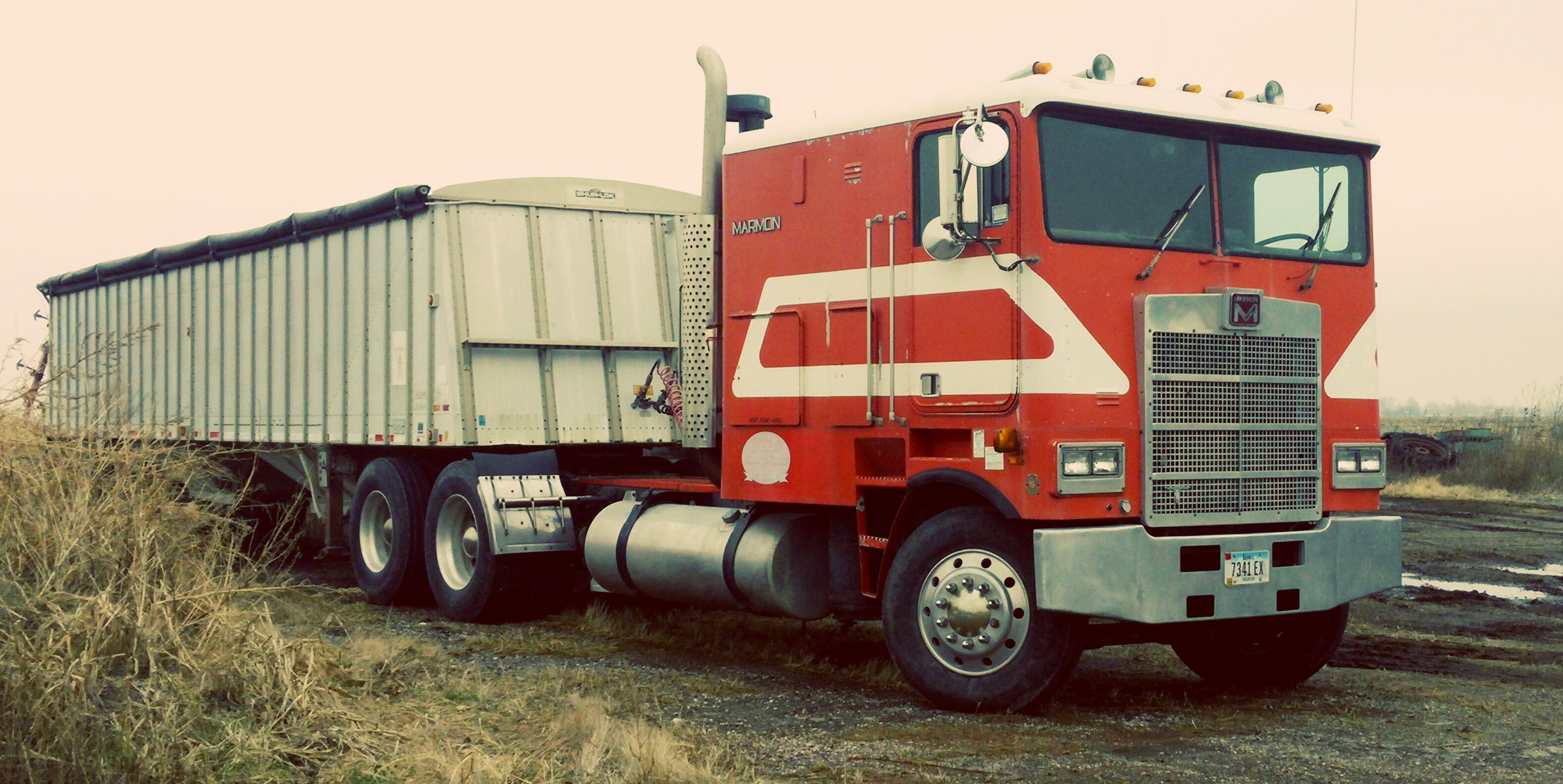
Marmon Truck
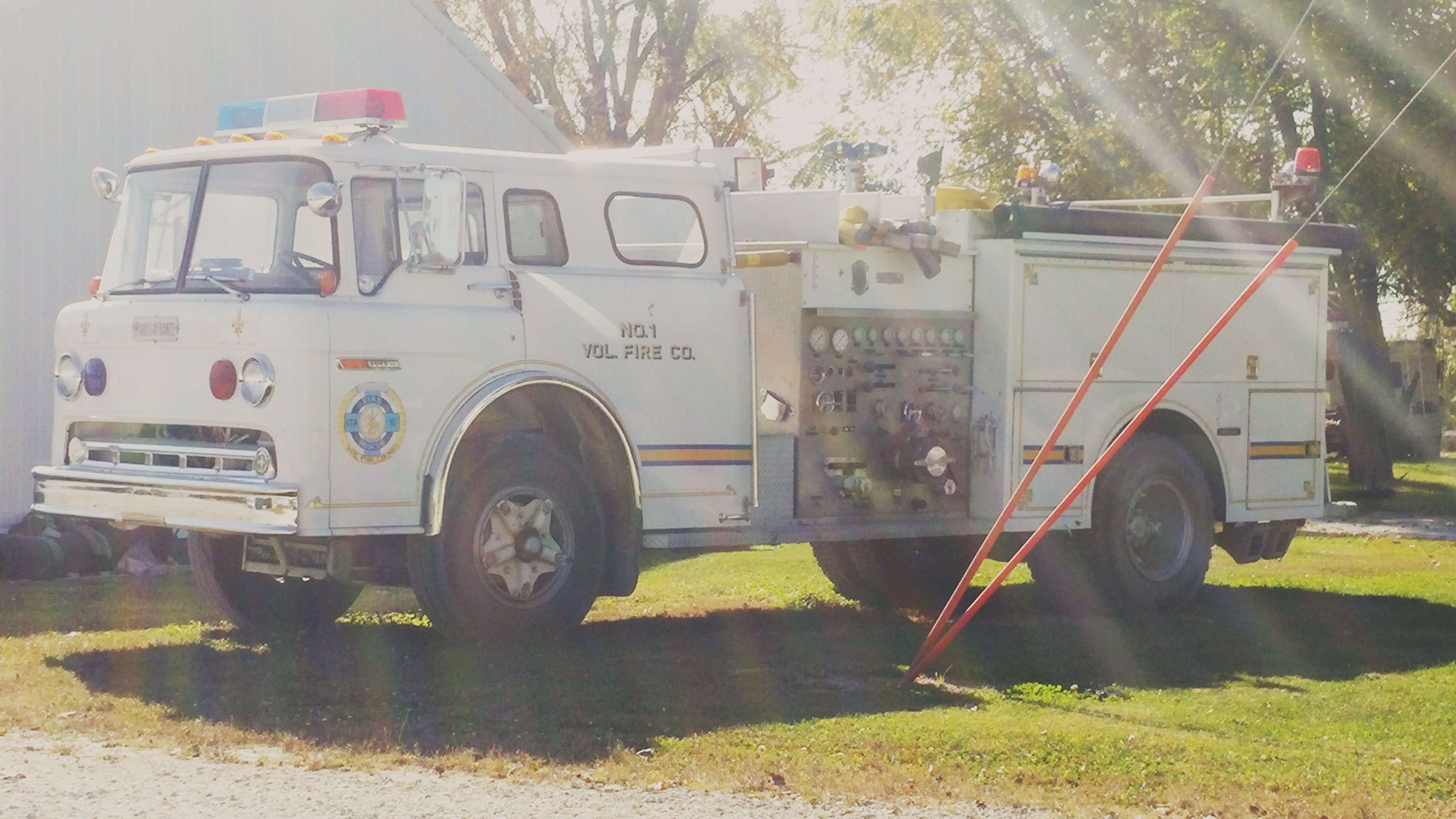
Van Wert Vol. Fire truck

Richard kessee

Interstate 35 Near Little River Lake and Leon, Iowa
Topographic Map of Long Creek, IA, USA
Find elevation by address:

Places in Long Creek, IA, USA:
Places near Long Creek, IA, USA:
E 1st St, Van Wert, IA, USA
Van Wert
Decatur County
Lacelle Rd, Osceola, IA, USA
Knox
Doyle St, Osceola, IA, USA
10611 240th Ave
205th Avenue
th Ave, Osceola, IA, USA
Clarke County
Osceola, IA, USA
Ward
1000 Jeffreys Dr
Osceola
S Main St, Osceola, IA, USA
1071 Harken Hills Dr
5th St, Murray, IA, USA
Murray
Troy
Osceola
Recent Searches:
- Elevation of Holloway Ave, San Francisco, CA, USA
- Elevation of Norfolk, NY, USA
- Elevation of - San Marcos Pass Rd, Santa Barbara, CA, USA
- Elevation of th Pl SE, Issaquah, WA, USA
- Elevation of 82- D Rd, Captain Cook, HI, USA
- Elevation of Harlow CM20 2PR, UK
- Elevation of Shenyang Agricultural University, Dong Ling Lu, Shen He Qu, Shen Yang Shi, Liao Ning Sheng, China
- Elevation of Alpha Dr, Melbourne, FL, USA
- Elevation of Hiroshima University, 1-chōme-3-2 Kagamiyama, Higashihiroshima, Hiroshima -, Japan
- Elevation of Bernina Dr, Lake Arrowhead, CA, USA