Elevation of Lone Butte, Montana, USA
Location: United States > Montana > Hungry Horse >
Longitude: -113.22701
Latitude: 47.7327188
Elevation: 2486m / 8156feet
Barometric Pressure: 75KPa
Elevation Map:
Satellite Map:
Related Photos:
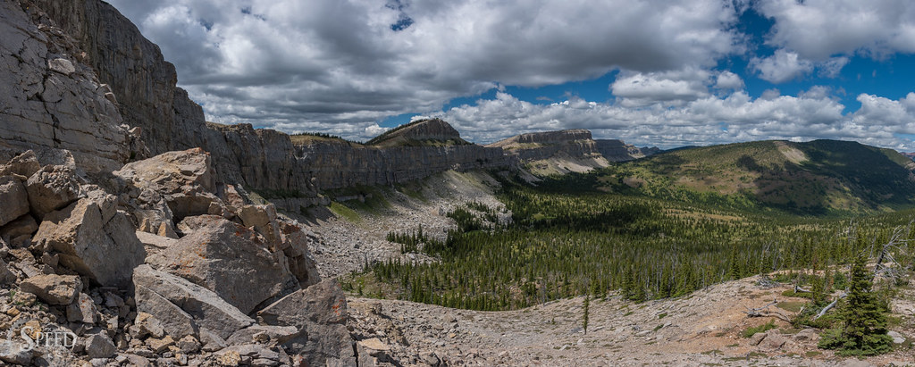
The Great Wall of Montana
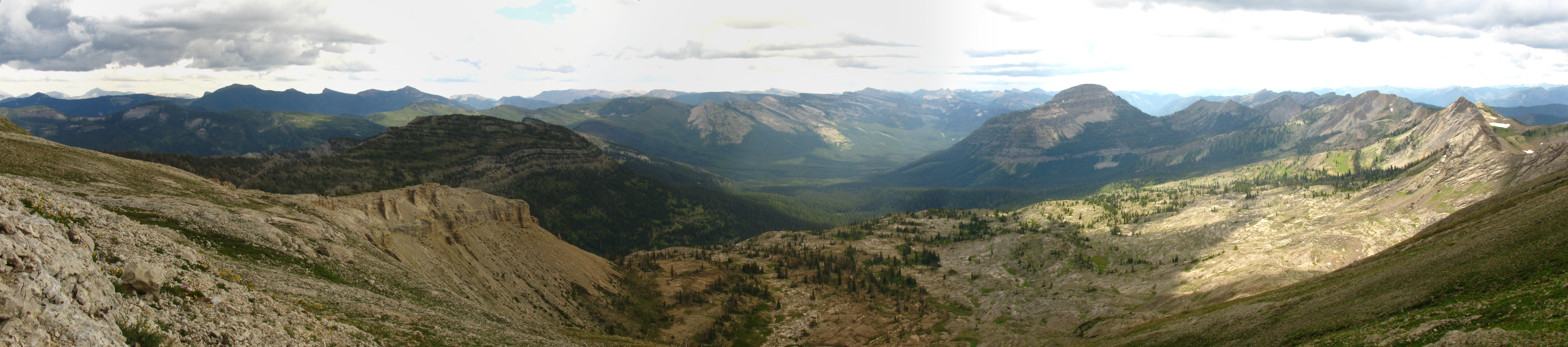
Silvertip south cirque panorama
In the shadow of Silvertip Mtn
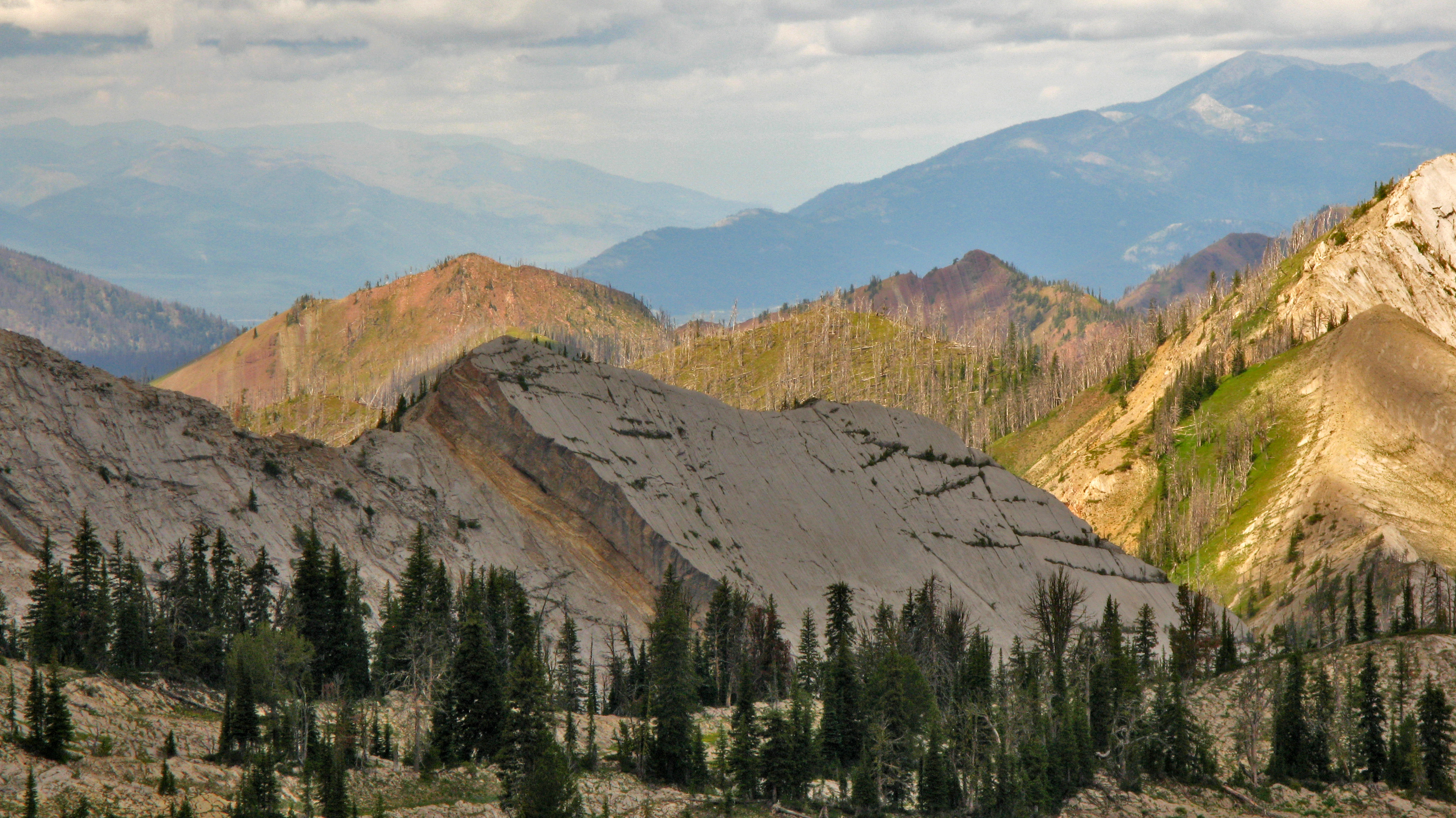
West view from Silvertip
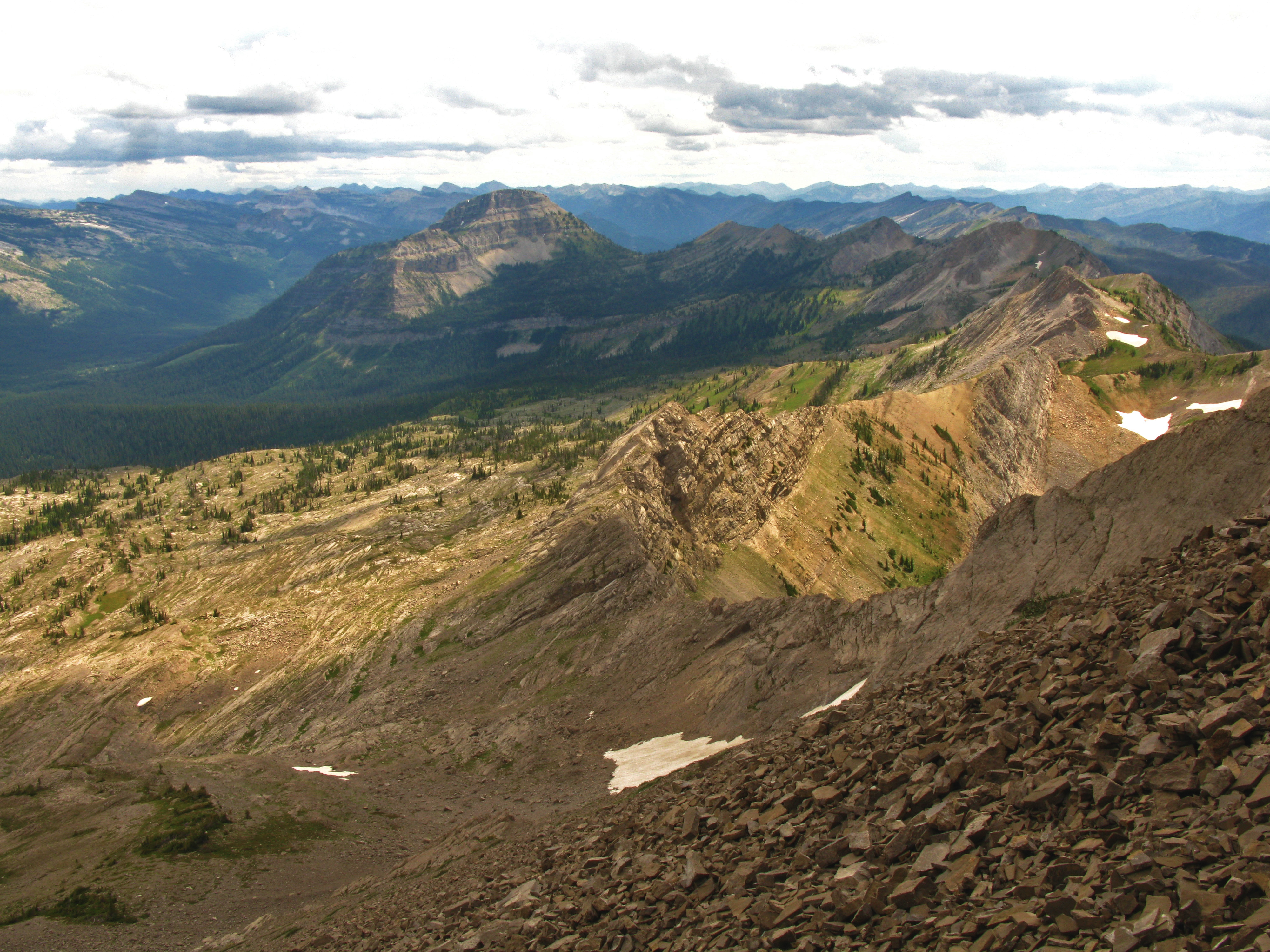
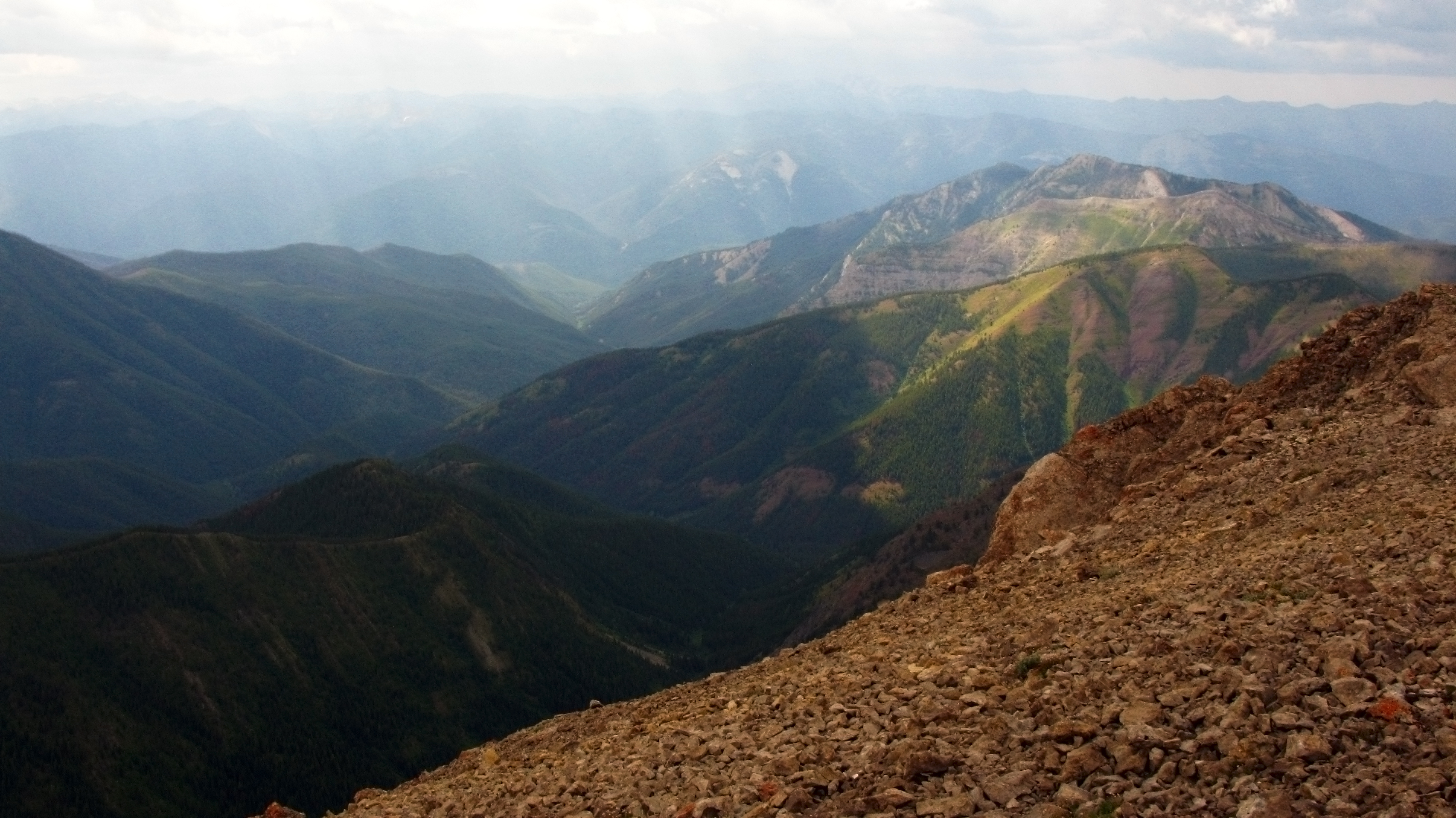
South view from Silvertip
Topographic Map of Lone Butte, Montana, USA
Find elevation by address:

Places near Lone Butte, Montana, USA:
Silvertip Mountain
Larch Hill
Turtlehead Mountain
Bungalow Mountain
Salt Mountain
Ampitheatre Mountain North
Minaret Peak
Cone Peak
Ampitheatre Mountain South
Moccasin Butte
Cliff Mountain
Sphinx Peak
Black Bear Mountain
Redhead Peak
Three Sisters North
Tillston Mountain
Red Butte
Shale Peak
Flathead Alps North
Brownstone Peak
Recent Searches:
- Elevation of Corso Fratelli Cairoli, 35, Macerata MC, Italy
- Elevation of Tallevast Rd, Sarasota, FL, USA
- Elevation of 4th St E, Sonoma, CA, USA
- Elevation of Black Hollow Rd, Pennsdale, PA, USA
- Elevation of Oakland Ave, Williamsport, PA, USA
- Elevation of Pedrógão Grande, Portugal
- Elevation of Klee Dr, Martinsburg, WV, USA
- Elevation of Via Roma, Pieranica CR, Italy
- Elevation of Tavkvetili Mountain, Georgia
- Elevation of Hartfords Bluff Cir, Mt Pleasant, SC, USA