Elevation of Lola Dr, Diamondhead, MS, USA
Location: United States > Mississippi > Hancock County > Diamondhead >
Longitude: -89.377159
Latitude: 30.3967196
Elevation: 6m / 20feet
Barometric Pressure: 101KPa
Elevation Map:
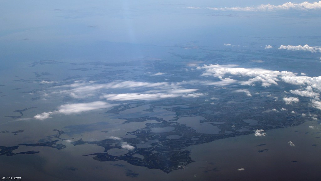
Satellite Map:
Related Photos:

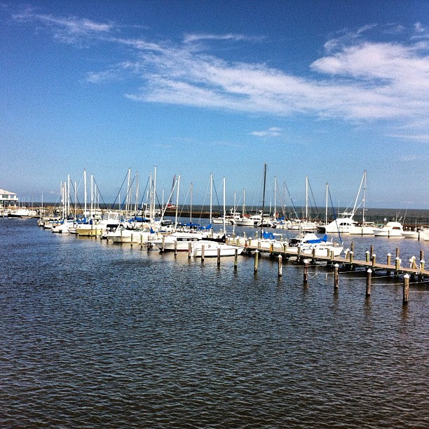
West Edge of development
Bob's Lakes

Bay St Louis
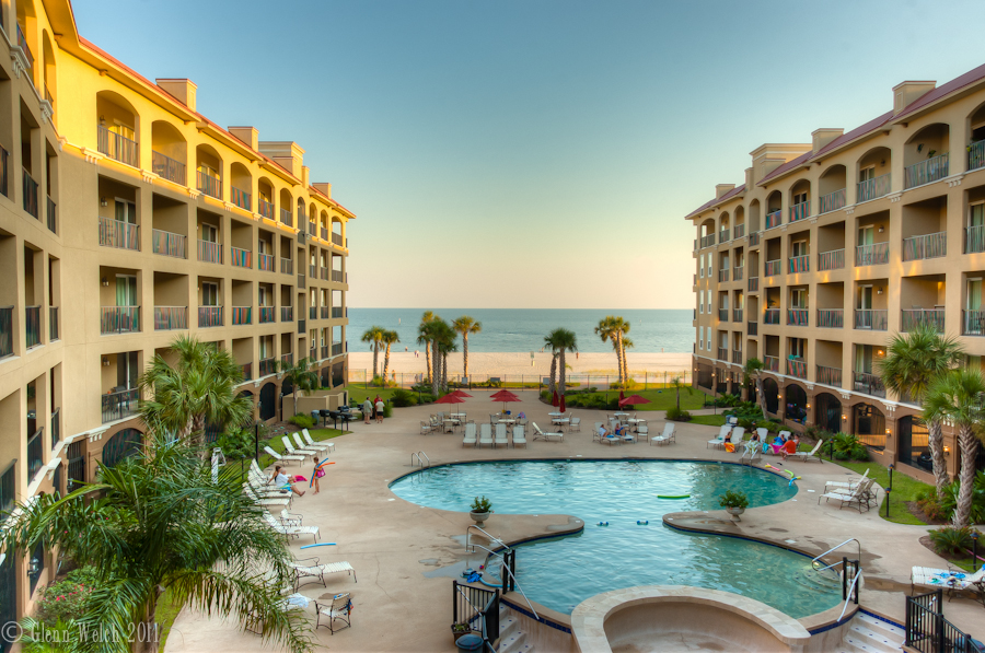
The view from the condo
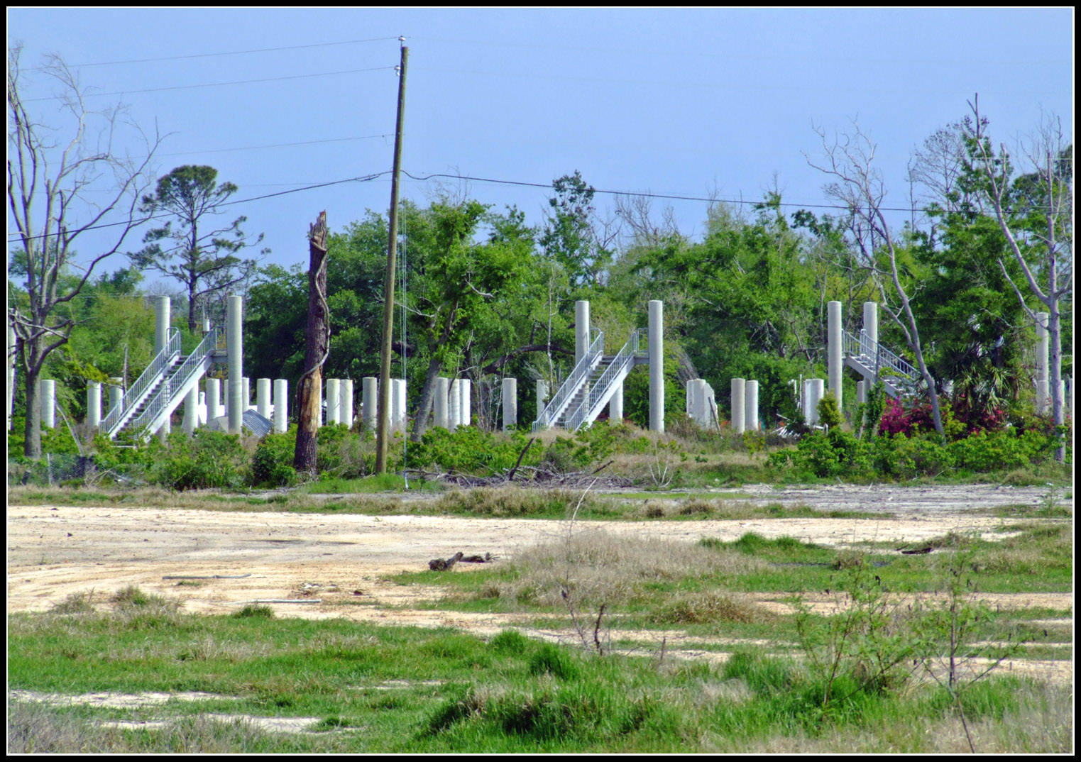
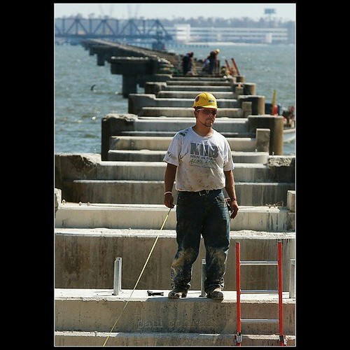
Rebuilding-27
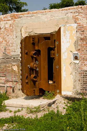
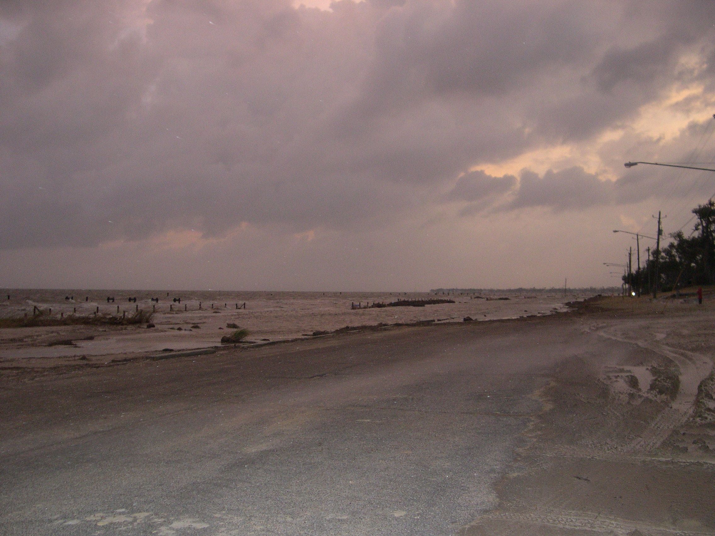
Vanished - Hurricane Katrina

Hancock County Courthouse Front View

Another view of the Doll House
#afterkatrina #photojournalism One month after #HurricaneKatrina hit the Gulf Coast, David Wages of Columbia, Miss., pauses from working on the CSX Railroad bridge over St. Louis Bay to view the damage to the surrounding area on Saturday morning October1,
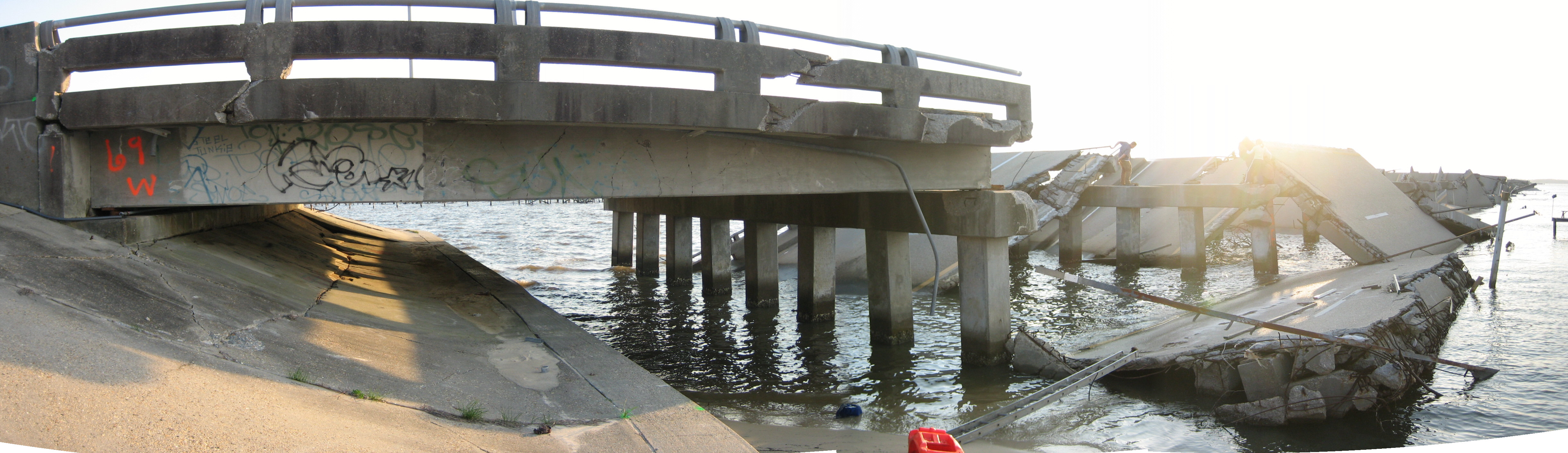
bridge side view

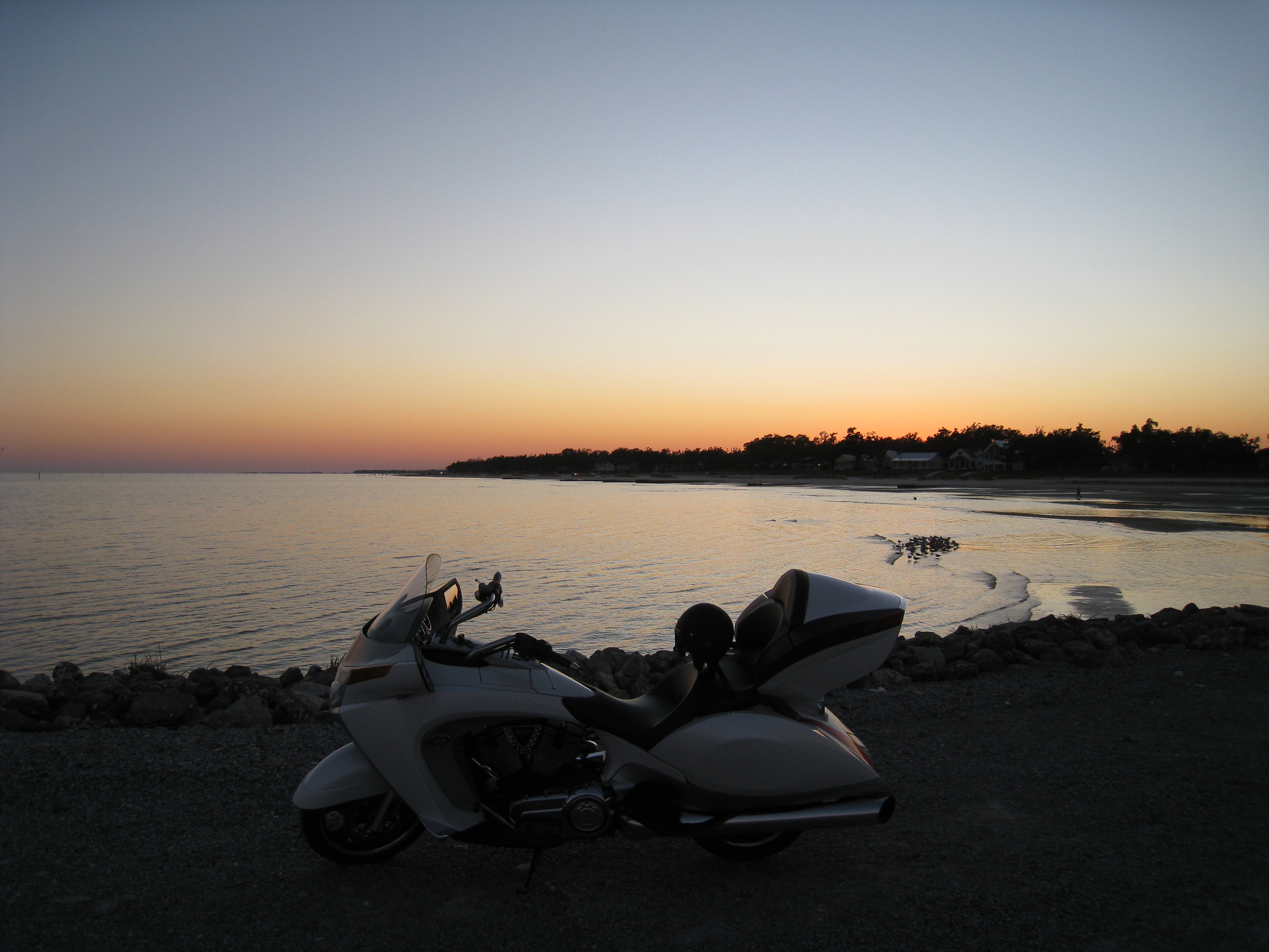
On the road!

Breath Bayou

From a Dream You Won't Remember
Bay St.Louise

sunset behind the Bay St. Louis Bridge

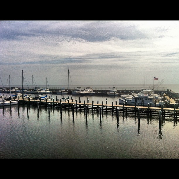
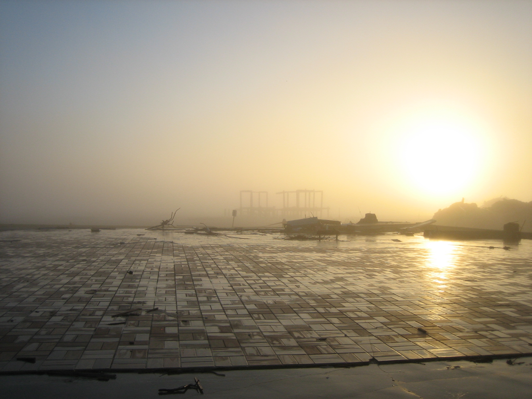
Pass Harbor Fog

Bay St.Louise
Oyster po-boys and margaritas overlooking the Gulf of Mexico. #notbadforatuesday
The Mississippi gulf
Hurricane Gustav rolling in at Waveland, MS
You come here often?
Makes me want a sandwich! ;)
Mississippi Gulf Coast
Mississippi Gulf Coast
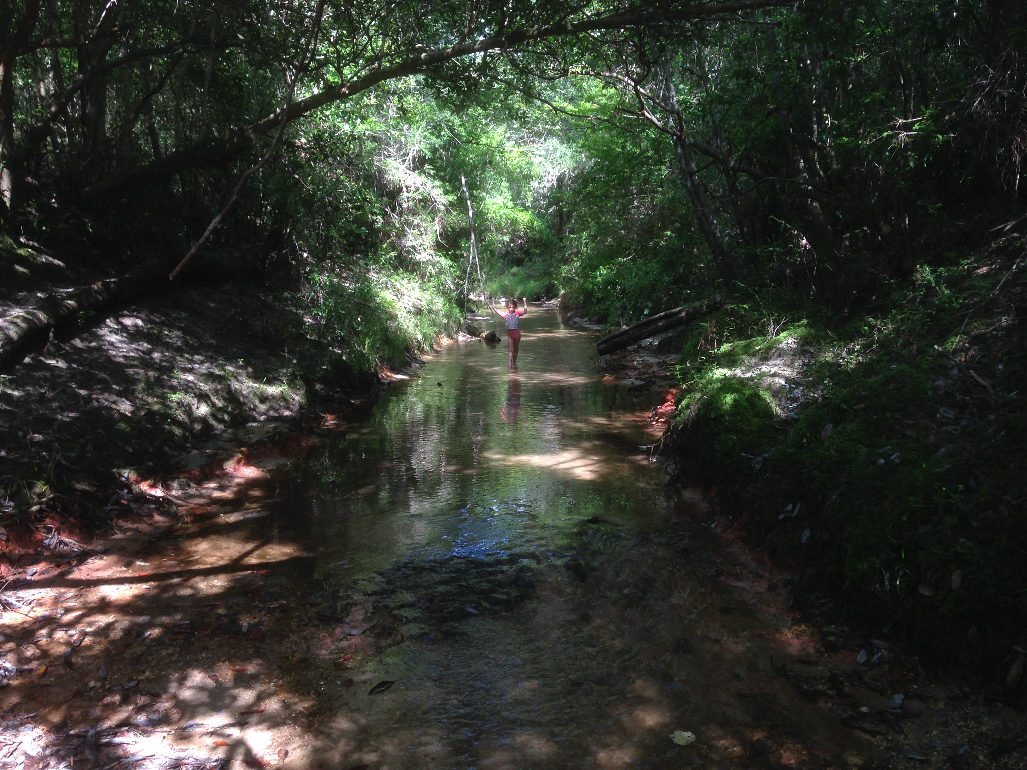
Creek Walk

Angle to Key West
nice tile work

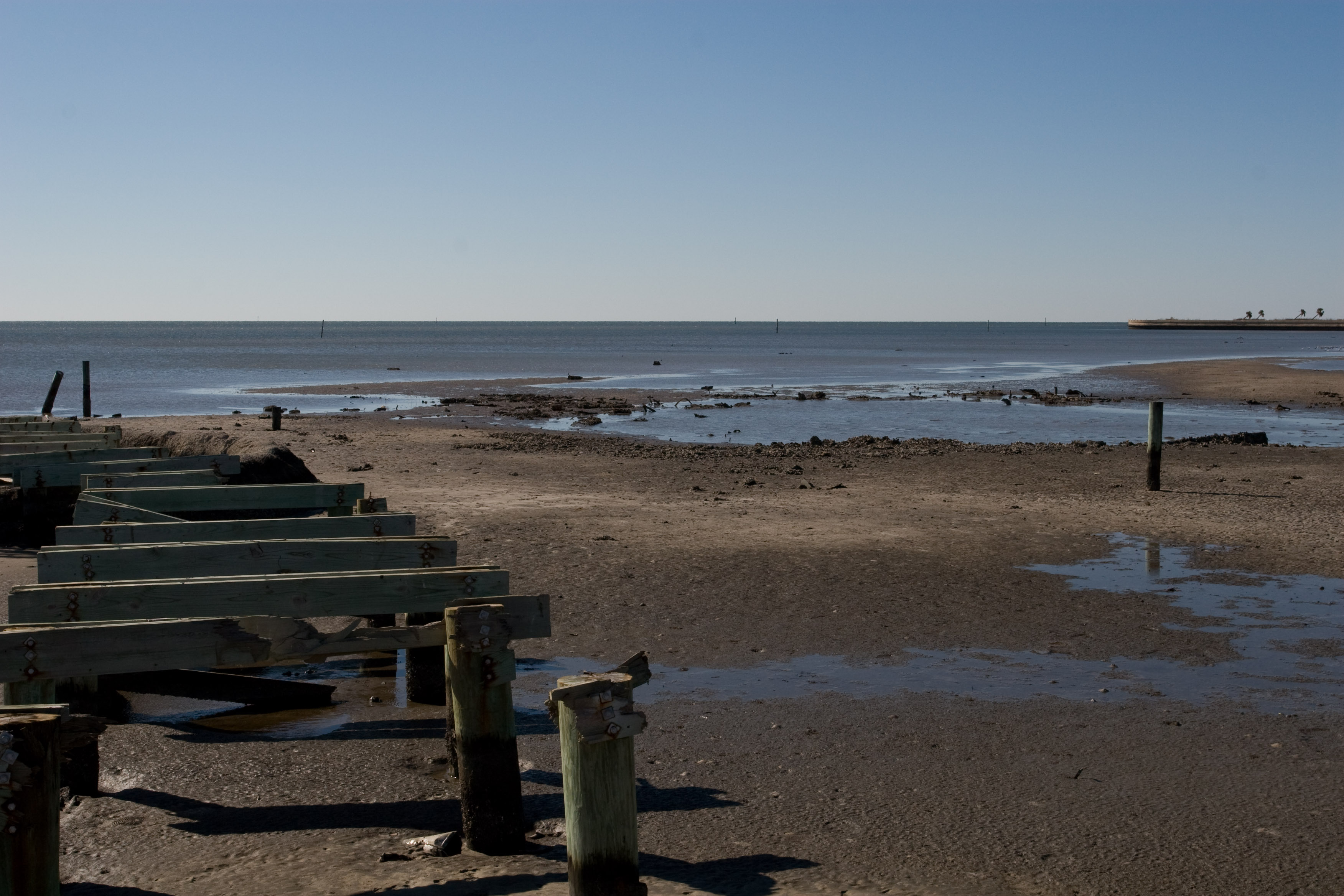
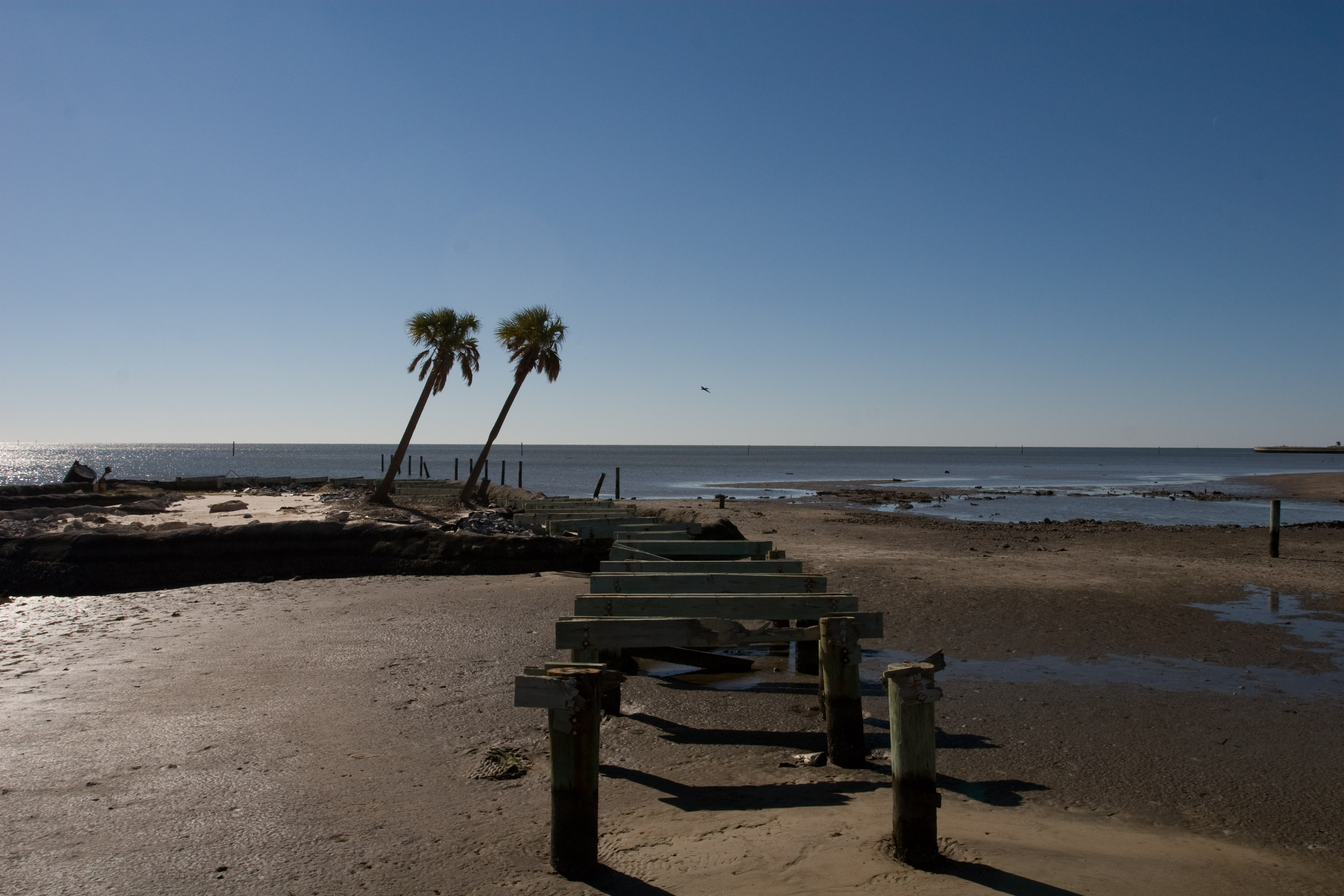
beach, constructed

chucks 373
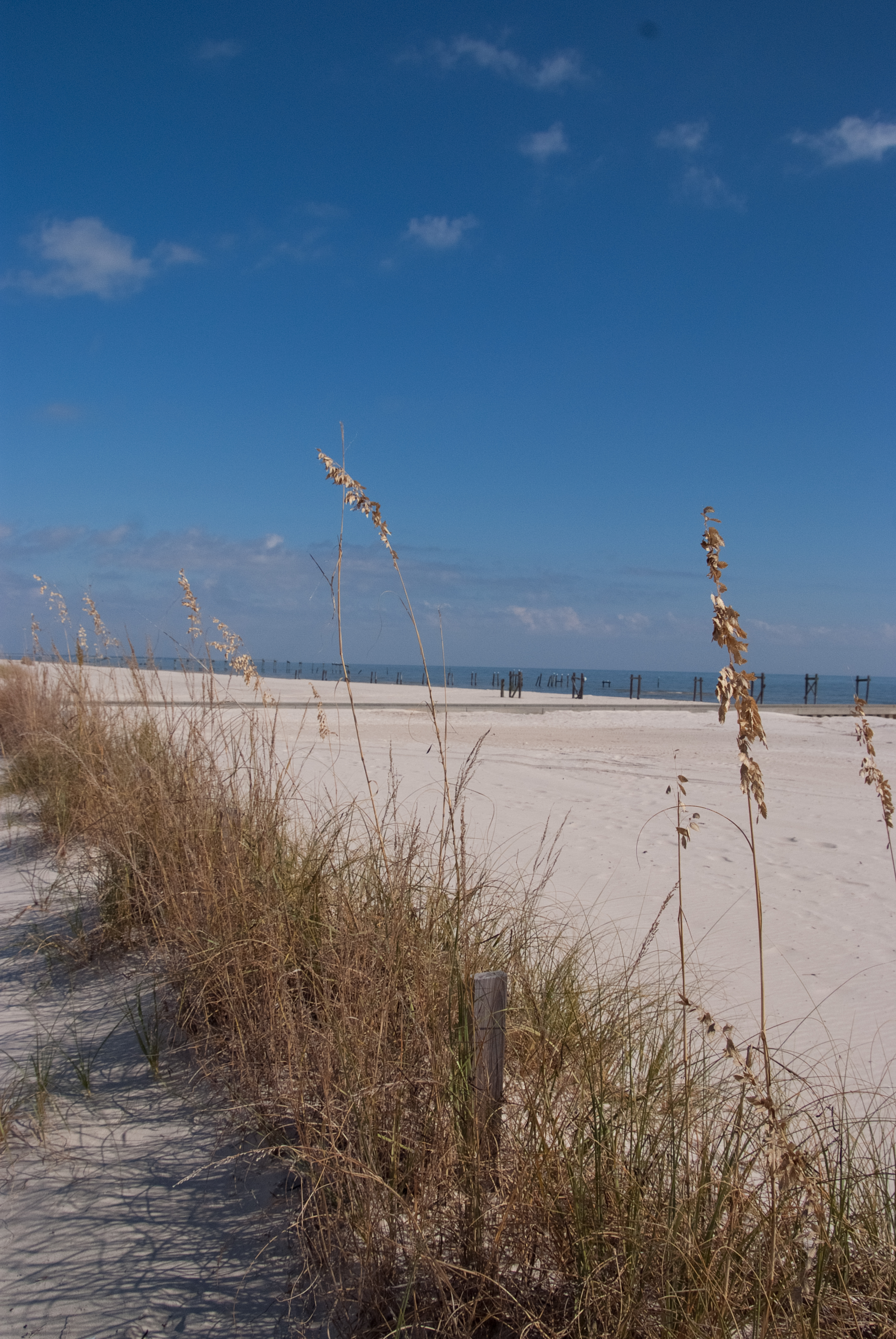
Beach Grass

Pass Christian Sunset
Topographic Map of Lola Dr, Diamondhead, MS, USA
Find elevation by address:

Places near Lola Dr, Diamondhead, MS, USA:
84144 Lola Dr
8471 Amoka Dr
8471 Amoka Dr
8471 Amoka Dr
8410 Makiki Pl
4441 Ieke Dr
84120 Lola Dr
8428 Amoka Pl
8318 Amoka Ct
Ieke Drive
Kaleki Way
8430 Kaleki Way
8467 Op La Way
8426 Kaleki Way
8316 Kaleki Pl
848 Kaleki Pl
9332 Mohonua Pl
8317 Analii St
8316 Analii St
8356 Makiki Dr
Recent Searches:
- Elevation of Congressional Dr, Stevensville, MD, USA
- Elevation of Bellview Rd, McLean, VA, USA
- Elevation of Stage Island Rd, Chatham, MA, USA
- Elevation of Shibuya Scramble Crossing, 21 Udagawacho, Shibuya City, Tokyo -, Japan
- Elevation of Jadagoniai, Kaunas District Municipality, Lithuania
- Elevation of Pagonija rock, Kranto 7-oji g. 8"N, Kaunas, Lithuania
- Elevation of Co Rd 87, Jamestown, CO, USA
- Elevation of Tenjo, Cundinamarca, Colombia
- Elevation of Côte-des-Neiges, Montreal, QC H4A 3J6, Canada
- Elevation of Bobcat Dr, Helena, MT, USA