Elevation of Lohardaga, Jharkhand, India
Location: India > Jharkhand >
Longitude: 84.6479124
Latitude: 23.4337504
Elevation: 658m / 2159feet
Barometric Pressure: 94KPa
Elevation Map:
Satellite Map:
Related Photos:
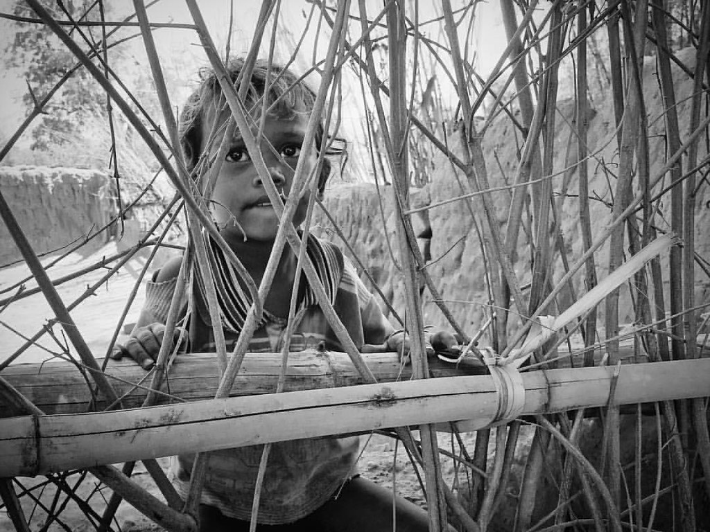
Innocence trapped #iphoneography #iphoneonly #instadaily #instagramers #vscocam #vsco #vscophile #vscoindia #portrait

Have you ever walked at least a mile to get drinking water? Have you ever been dependent on rains for drinking water? Masiatu is one of many such villages in Jharkhand, India. All it takes is ₹1.25 Lakhs or roughly US$2000 to make a bore well in the villa
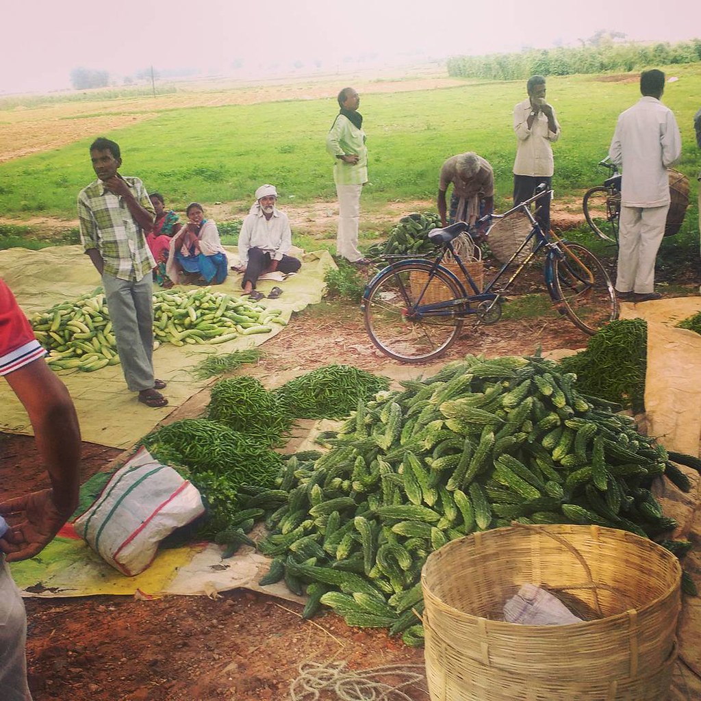
Village market #India #villages #village #market #farmers
Topographic Map of Lohardaga, Jharkhand, India
Find elevation by address:

Places in Lohardaga, Jharkhand, India:
Places near Lohardaga, Jharkhand, India:
Lohardaga
Kamle
Kairo
Kuru
Lukuia
Ranchi Road
Gumla
Sisai
Chanho
Latehar
Mccluskieganj
Bero
Gumla
Khalari
Balumath
Bhandra
Burmu
Nagri
Tandwa
Jharkhand
Recent Searches:
- Elevation of Lampiasi St, Sarasota, FL, USA
- Elevation of Elwyn Dr, Roanoke Rapids, NC, USA
- Elevation of Congressional Dr, Stevensville, MD, USA
- Elevation of Bellview Rd, McLean, VA, USA
- Elevation of Stage Island Rd, Chatham, MA, USA
- Elevation of Shibuya Scramble Crossing, 21 Udagawacho, Shibuya City, Tokyo -, Japan
- Elevation of Jadagoniai, Kaunas District Municipality, Lithuania
- Elevation of Pagonija rock, Kranto 7-oji g. 8"N, Kaunas, Lithuania
- Elevation of Co Rd 87, Jamestown, CO, USA
- Elevation of Tenjo, Cundinamarca, Colombia