Elevation of Logans Way, Blanco, TX, USA
Location: United States > Texas > Blanco County > Blanco >
Longitude: -98.382075
Latitude: 30.036302
Elevation: 421m / 1381feet
Barometric Pressure: 96KPa
Elevation Map:
Satellite Map:
Related Photos:

Over time
Goodnight Texas

Tower of the Americas at HemisFair '68 - San Antonio, Texas

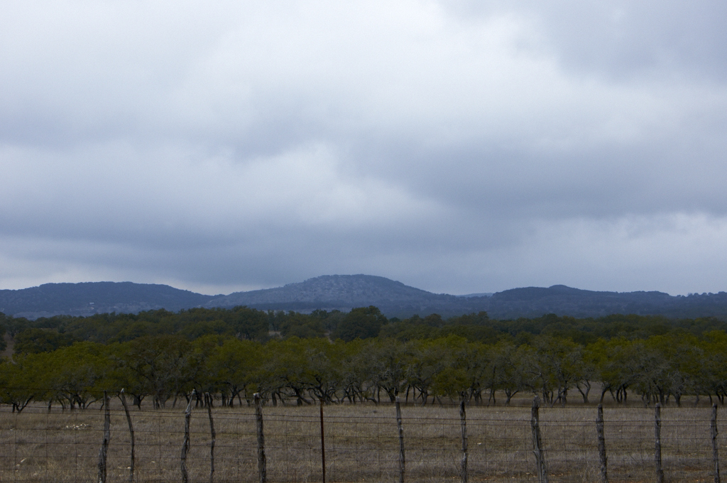
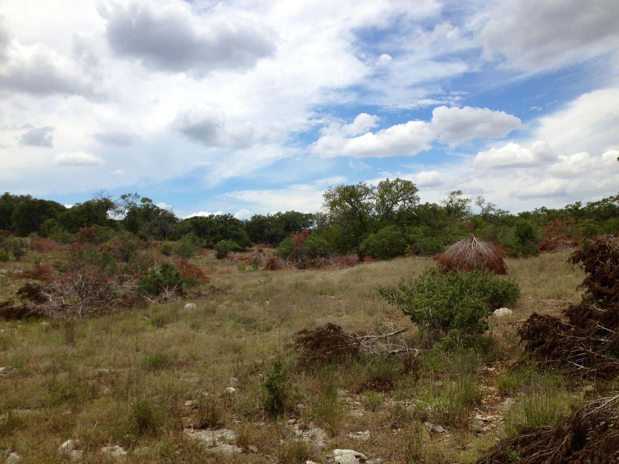
Texas Hill Country Vista

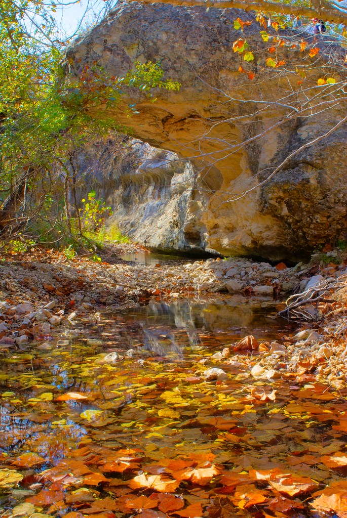
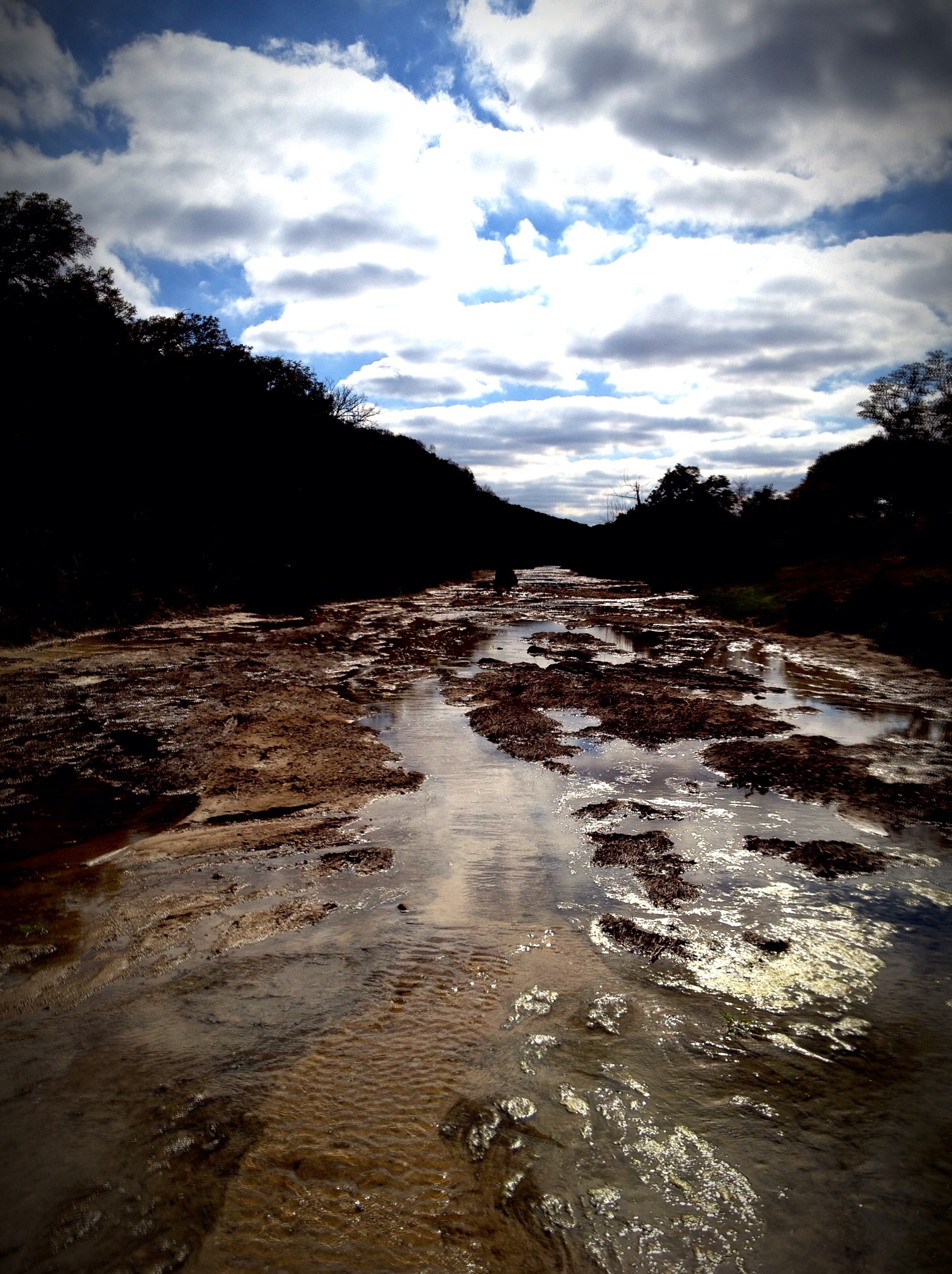
Up a Creek
Blanco River

Rust in Peace

Spring comes to the Texas Hill Country
I visited an alien planet.
Fischer Texas
Limestone Creek
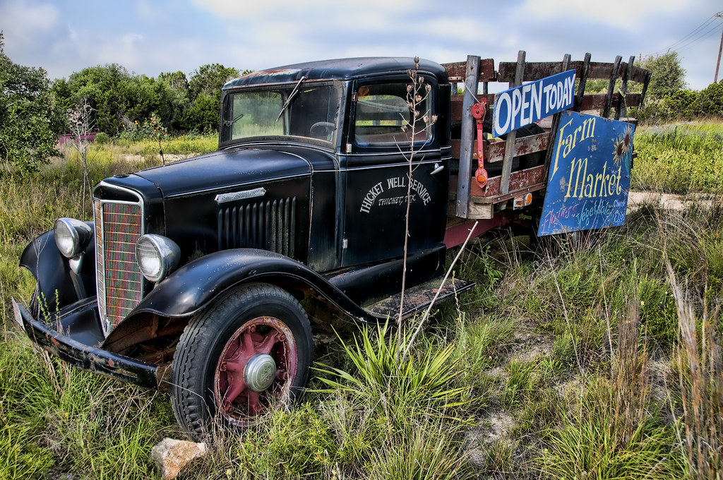
Forgotten Truck in Texas
Storm Clouds over the Hill Country
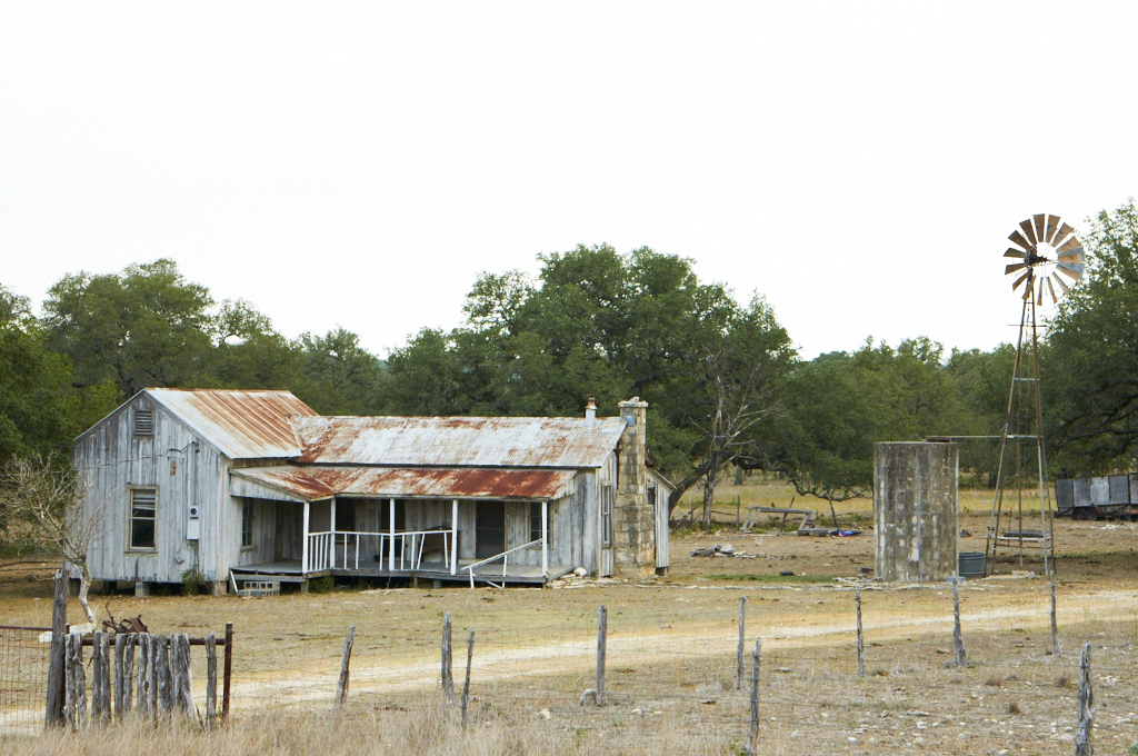
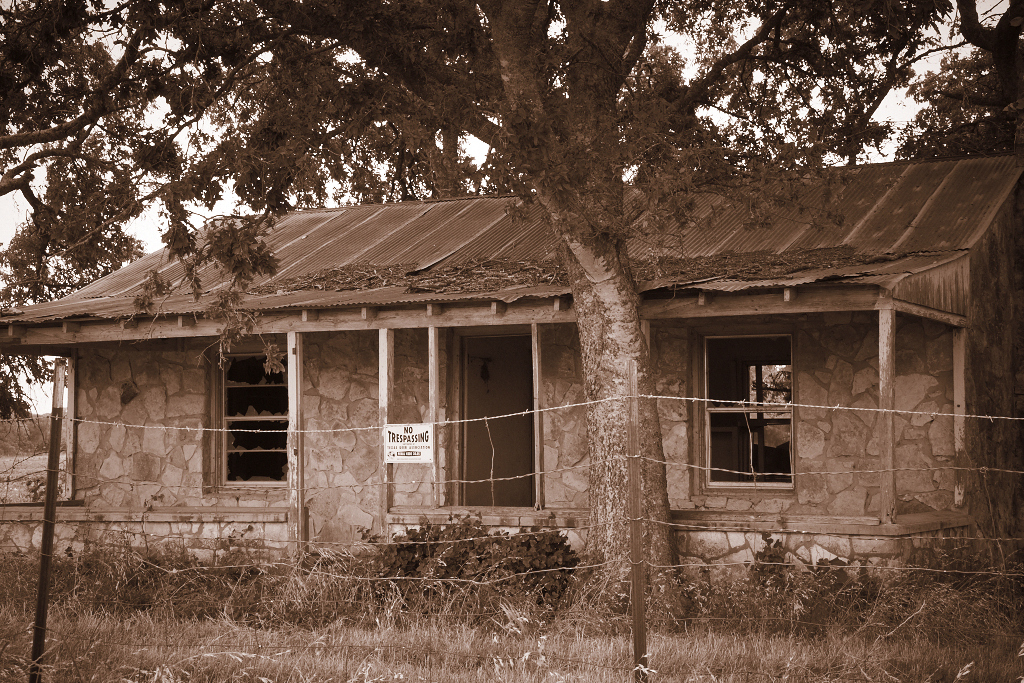
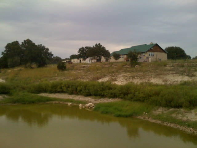
Hill Country Fixer Upper
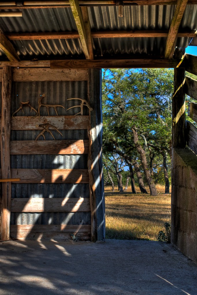
Sheds in a shed
Chirt.
Hi Ho Silver, and Away!
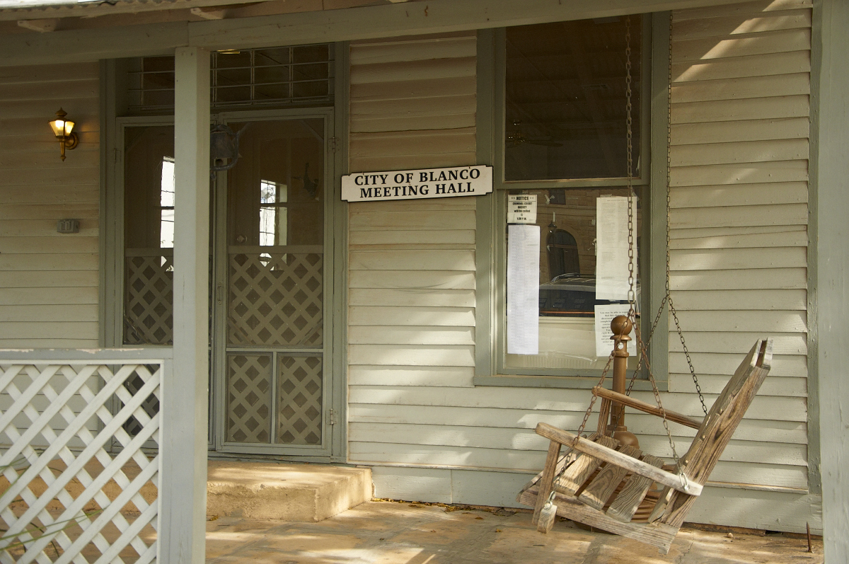
Meeting Hall
Don't Go There!
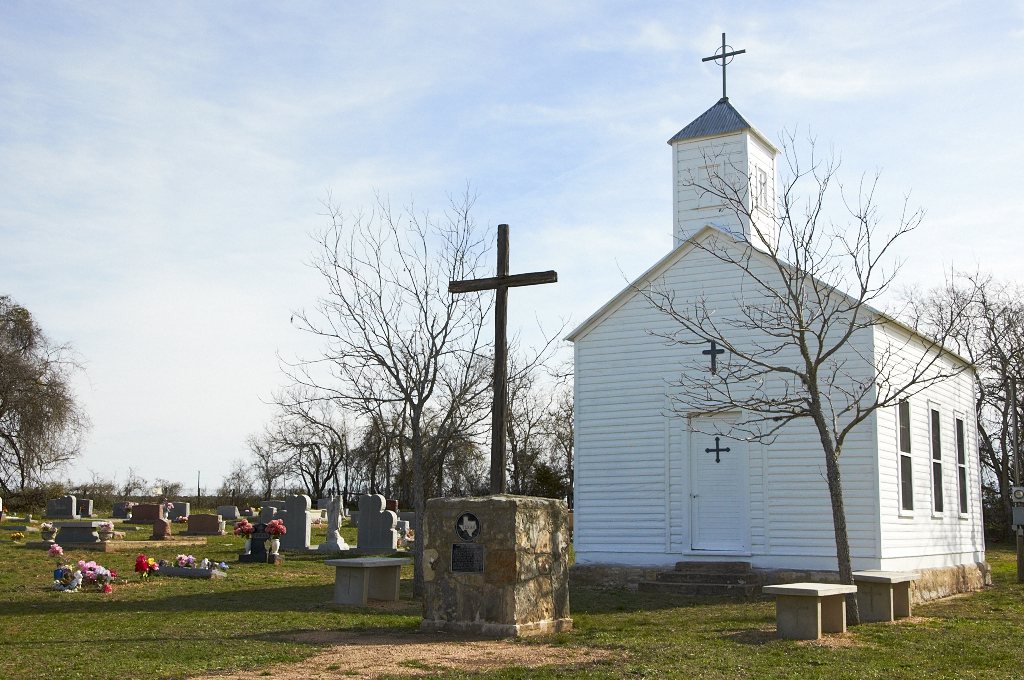
St. Mary's Chapel & Cemetery

View above
Rebecca Creek
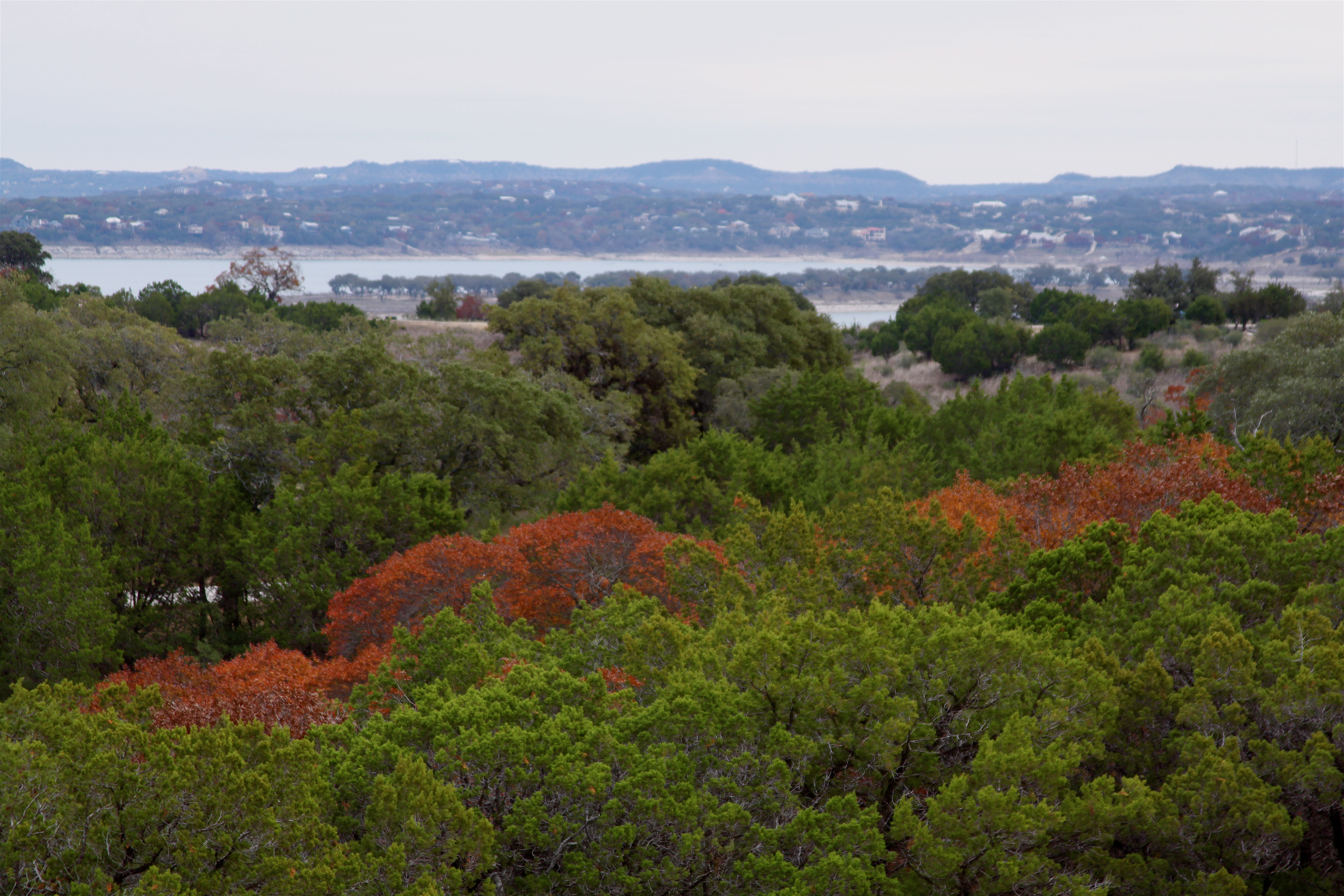
December view towards Canyon Lake TX

#goldenbirthday
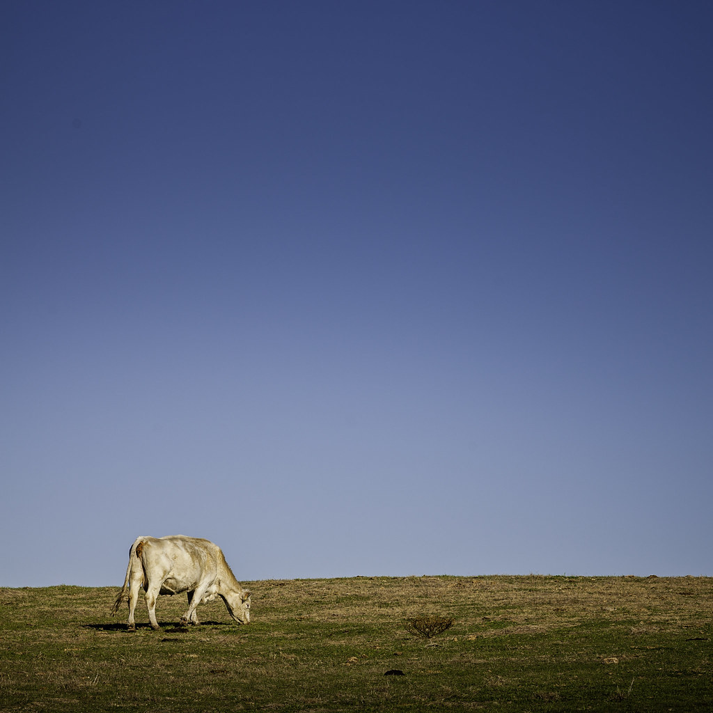
Grazing Cow

Better Than Bluebonnets For Lack Of People
Flugrath, Sep 15, 2008

Texas!
Crossing the Little Blanco river

Beginning of Narrows
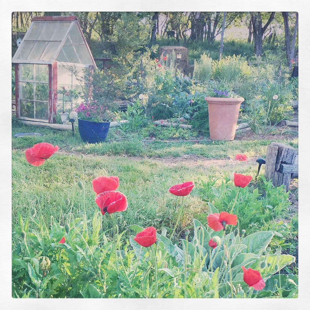
Spring Garden Wimberley Texas Hill Country PAA7P4
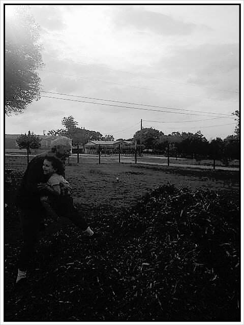
playing with grandpa

The Narrows

Catching the Sun

At the first bend in the Narrows

The road to Auntie Bill's
Rust III Family Ranch Blanco, TX Family has chainsawed 287 acres of cedar this past 12 months. Photo courtesy Lacey Moraign.

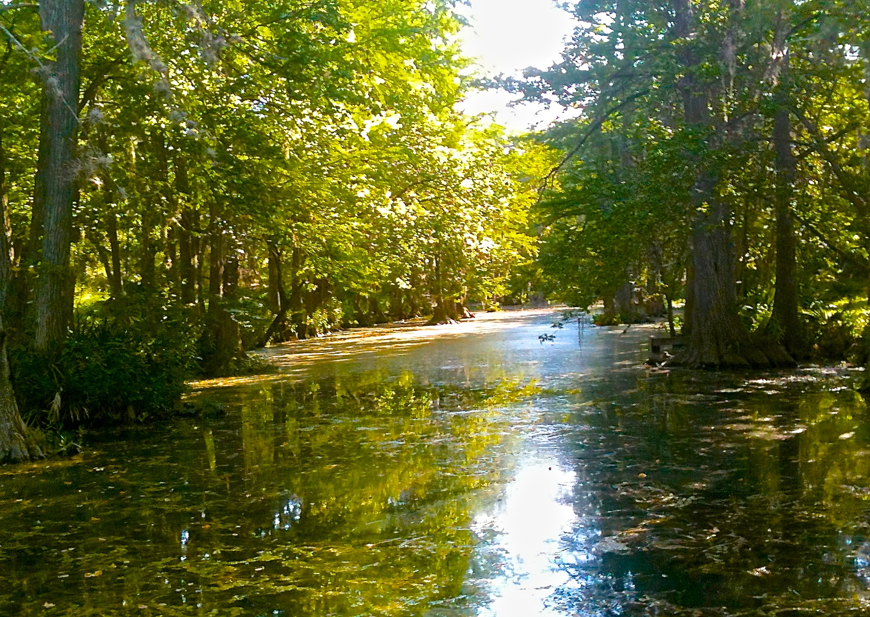
Blanco River through the Narrows
Topographic Map of Logans Way, Blanco, TX, USA
Find elevation by address:

Places near Logans Way, Blanco, TX, USA:
Otto Lange
Otto Lange
481 Rust Ranch Rd
Brasstown Drive
158 Stallion Estates
158 Stallion Estates
577 Canyon Rock
1049 Sleepy Hollow Ln
1049 Sleepy Hollow Ln
341 Bosque Ridge
Dodder Lane
2221 Cascada Pkwy
2057 Wegener Trail
5750 Tanglewood Trail
1604 Rimrock Cove
713 Wegener Trail
495 Cypress Springs Dr
765 Astral Point
657 Primrose Path
211 Rosewood Dr
Recent Searches:
- Elevation of Lagasgasan, X+CQH, Tiaong, Quezon, Philippines
- Elevation of Rojo Ct, Atascadero, CA, USA
- Elevation of Flagstaff Drive, Flagstaff Dr, North Carolina, USA
- Elevation of Avery Ln, Lakeland, FL, USA
- Elevation of Woolwine, VA, USA
- Elevation of Lumagwas Diversified Farmers Multi-Purpose Cooperative, Lumagwas, Adtuyon, RV32+MH7, Pangantucan, Bukidnon, Philippines
- Elevation of Homestead Ridge, New Braunfels, TX, USA
- Elevation of Orchard Road, Orchard Rd, Marlborough, NY, USA
- Elevation of 12 Hutchinson Woods Dr, Fletcher, NC, USA
- Elevation of Holloway Ave, San Francisco, CA, USA