Elevation of Logan Hill Rd, Chehalis, WA, USA
Location: United States > Washington > Lewis County > Chehalis >
Longitude: -122.83318
Latitude: 46.645511
Elevation: 175m / 574feet
Barometric Pressure: 99KPa
Elevation Map:
Satellite Map:
Related Photos:

a2001-15-04

Aerial view of I-5 in Chehalis

Aerial view of I-5 in Chehalis

Snow and rain

a2003-14-31

Governor Gregoire

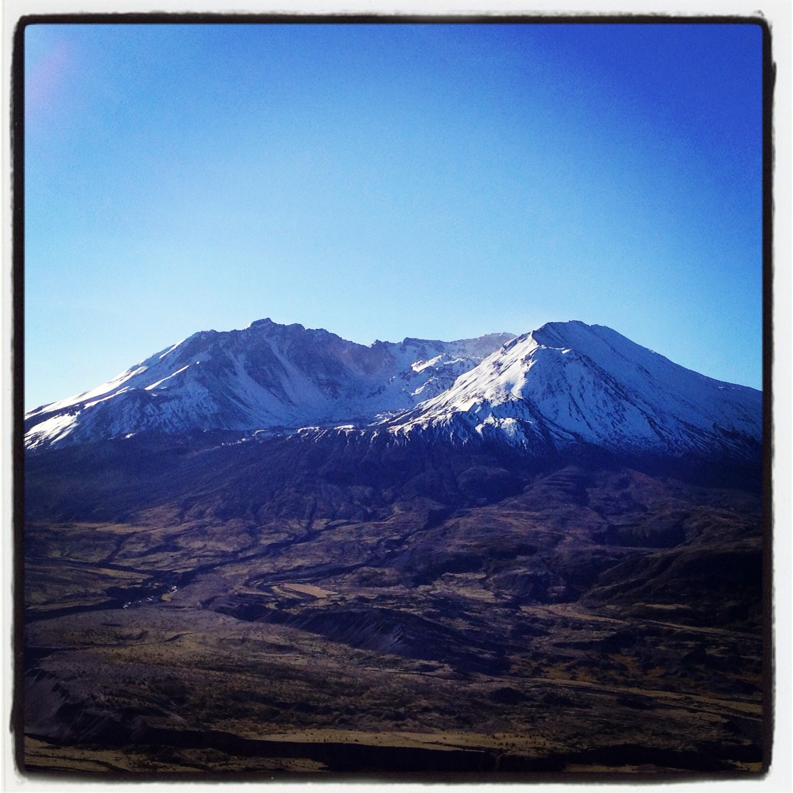
Mount Saint Helen's
Fly Ball.... er.... Rock....

The Mummy Lives!
DSCN1621.JPG
DSCN1625.JPG
DSCN1622.JPG
DSCN1624.JPG
On break, I just had to run out the back roller door to get this. #nofilter #nojoke
a2001-15-03
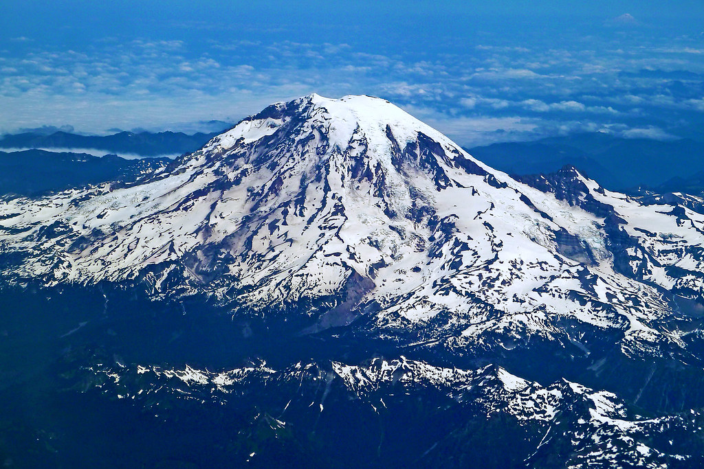
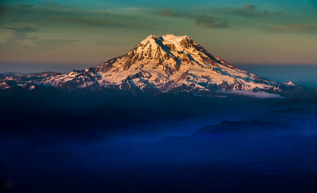
Mt Rainier
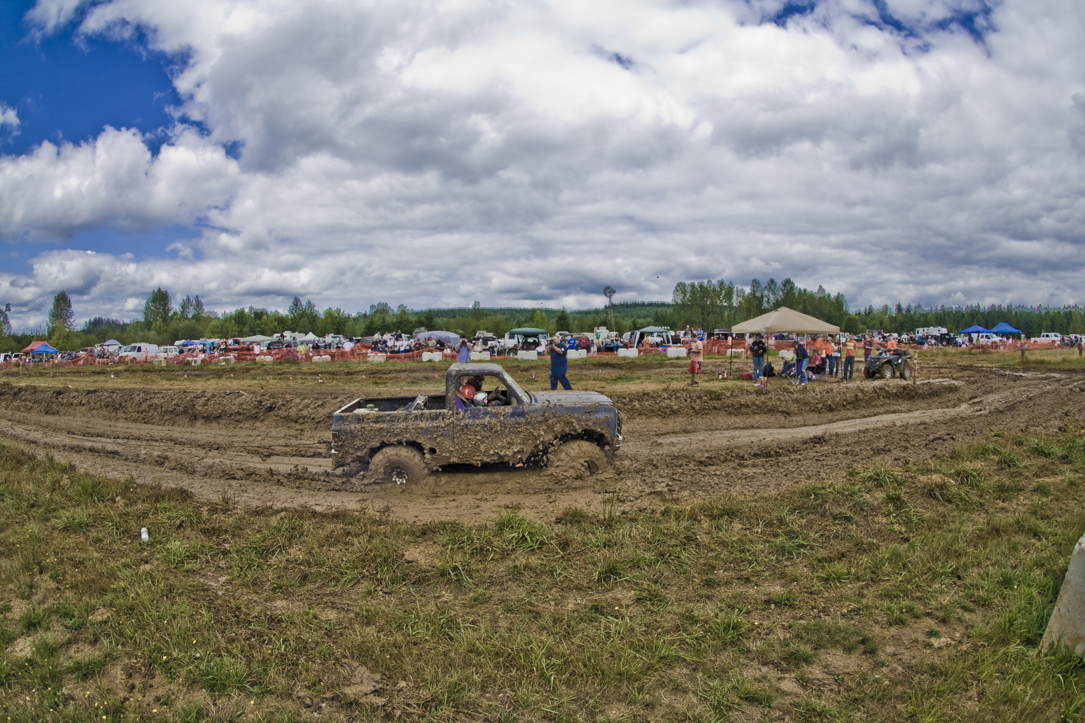
Mudd Bog 2
Coldwater Lake hike
Mt. Rainier: on approach to Seattle

Poplar Tree Plantation
Opened the back gate at work to see this.

Photo Jul 31, 12 05 25 PM
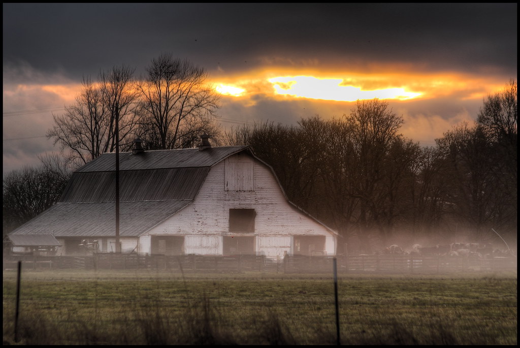
mist and barn
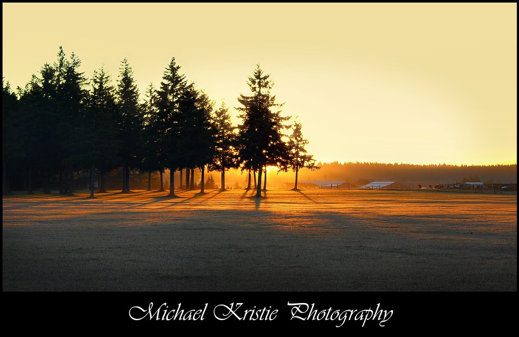
Sunrise Through Trees

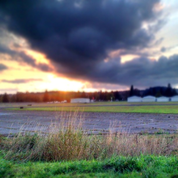
Lovely sunset yesterday.

a poplar place to be

Poplar Tree Plantation, Lewis County, Washington, 2015

Cedar Forest, Lewis and Clark State Park, Washington, 2015

Our Dog Halle

Seminary Hill II

Spring time's here.
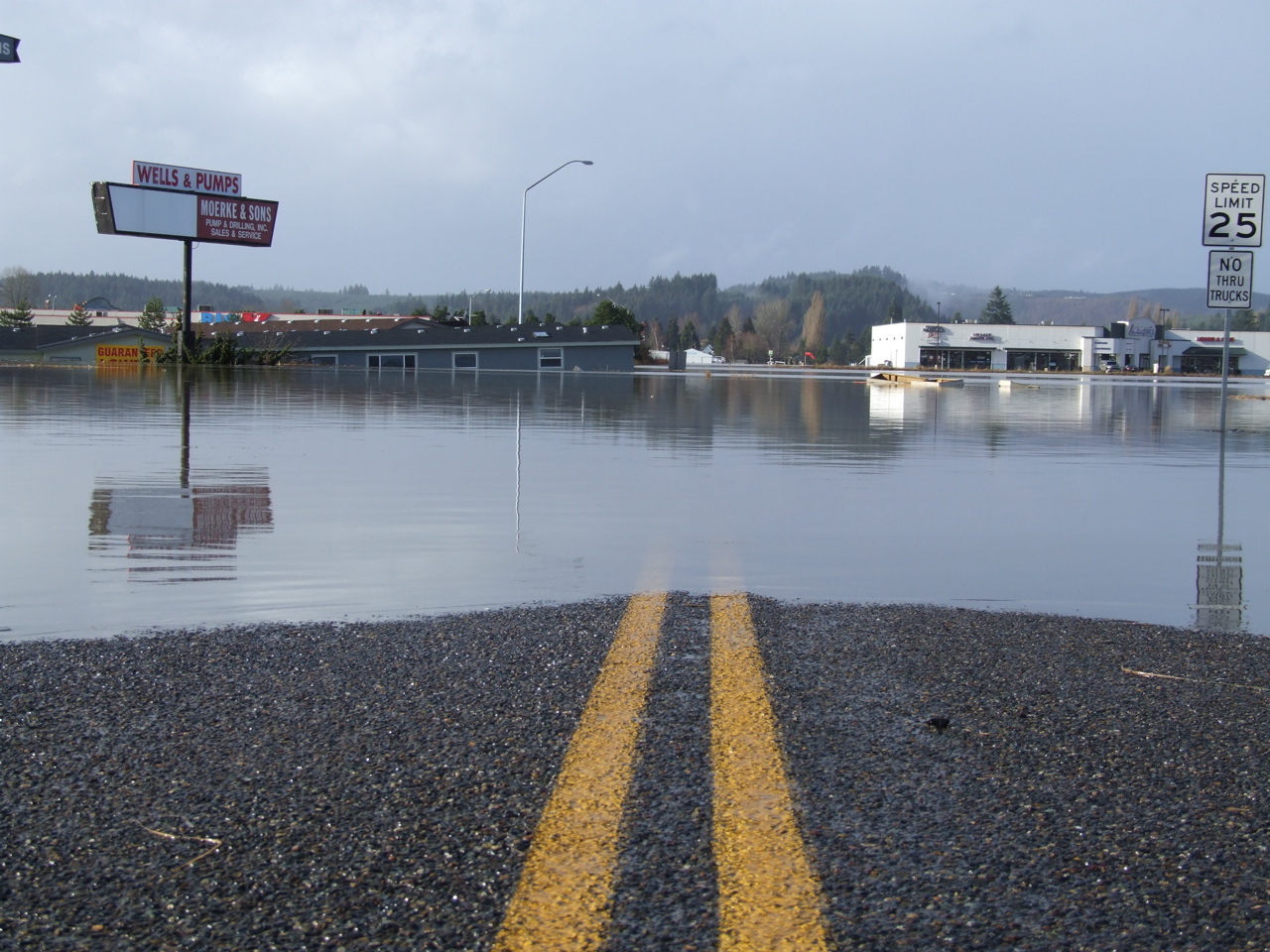
Road Closed
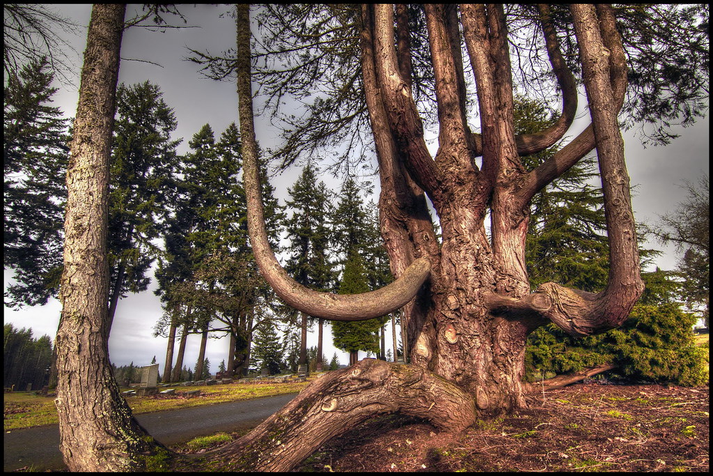
squid-tree
Topographic Map of Logan Hill Rd, Chehalis, WA, USA
Find elevation by address:

Places near Logan Hill Rd, Chehalis, WA, USA:
624 Tauscher Rd
223 N Fork Rd
531 Tauscher Rd
316 Yates Rd
337 Logan Hill Rd
251 Yates Rd
148 Taylor Rd S
319 Middle Fork Rd
106 Norton Ln
2235 Centralia Alpha Rd
2228 Centralia Alpha Rd
143 Pine Ridge Ln
2412 Centralia Alpha Rd
2910 Jackson Hwy
Little Hanaford Rd, Centralia, WA, USA
644 Centralia Alpha Rd
293 Chehalis Valley Dr
118 Tamaracks Dr
170 Tri Mountain Ln
186 Nyman Rd
Recent Searches:
- Elevation of Leyte Industrial Development Estate, Isabel, Leyte, Philippines
- Elevation of W Granada St, Tampa, FL, USA
- Elevation of Pykes Down, Ivybridge PL21 0BY, UK
- Elevation of Jalan Senandin, Lutong, Miri, Sarawak, Malaysia
- Elevation of Bilohirs'k
- Elevation of 30 Oak Lawn Dr, Barkhamsted, CT, USA
- Elevation of Luther Road, Luther Rd, Auburn, CA, USA
- Elevation of Unnamed Road, Respublika Severnaya Osetiya — Alaniya, Russia
- Elevation of Verkhny Fiagdon, North Ossetia–Alania Republic, Russia
- Elevation of F. Viola Hiway, San Rafael, Bulacan, Philippines