Elevation of Lodomillo, IA, USA
Location: United States > Iowa > Clayton County >
Longitude: -91.424142
Latitude: 42.6792336
Elevation: 356m / 1168feet
Barometric Pressure: 97KPa
Elevation Map:
Satellite Map:
Related Photos:
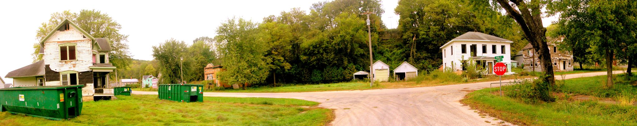
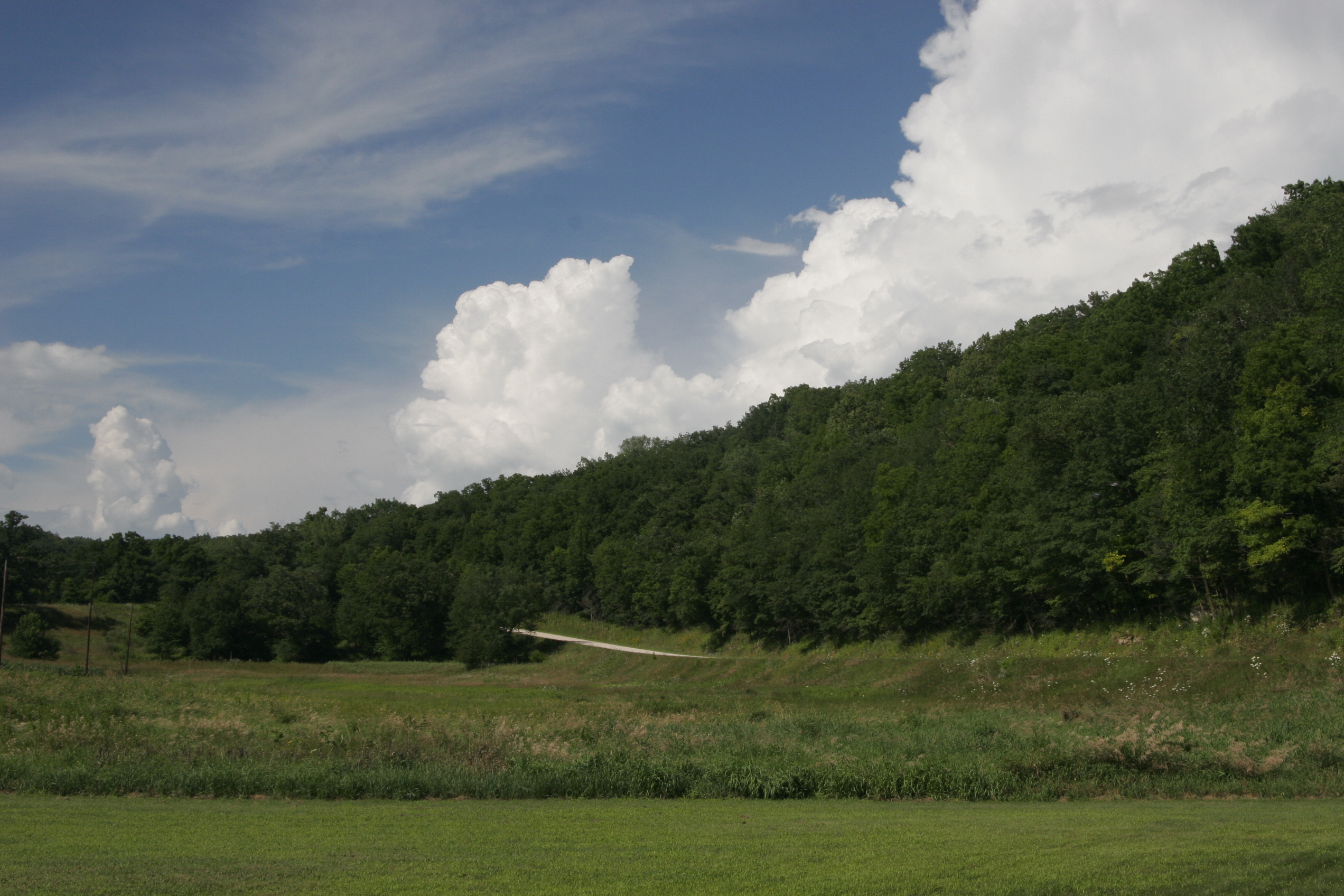
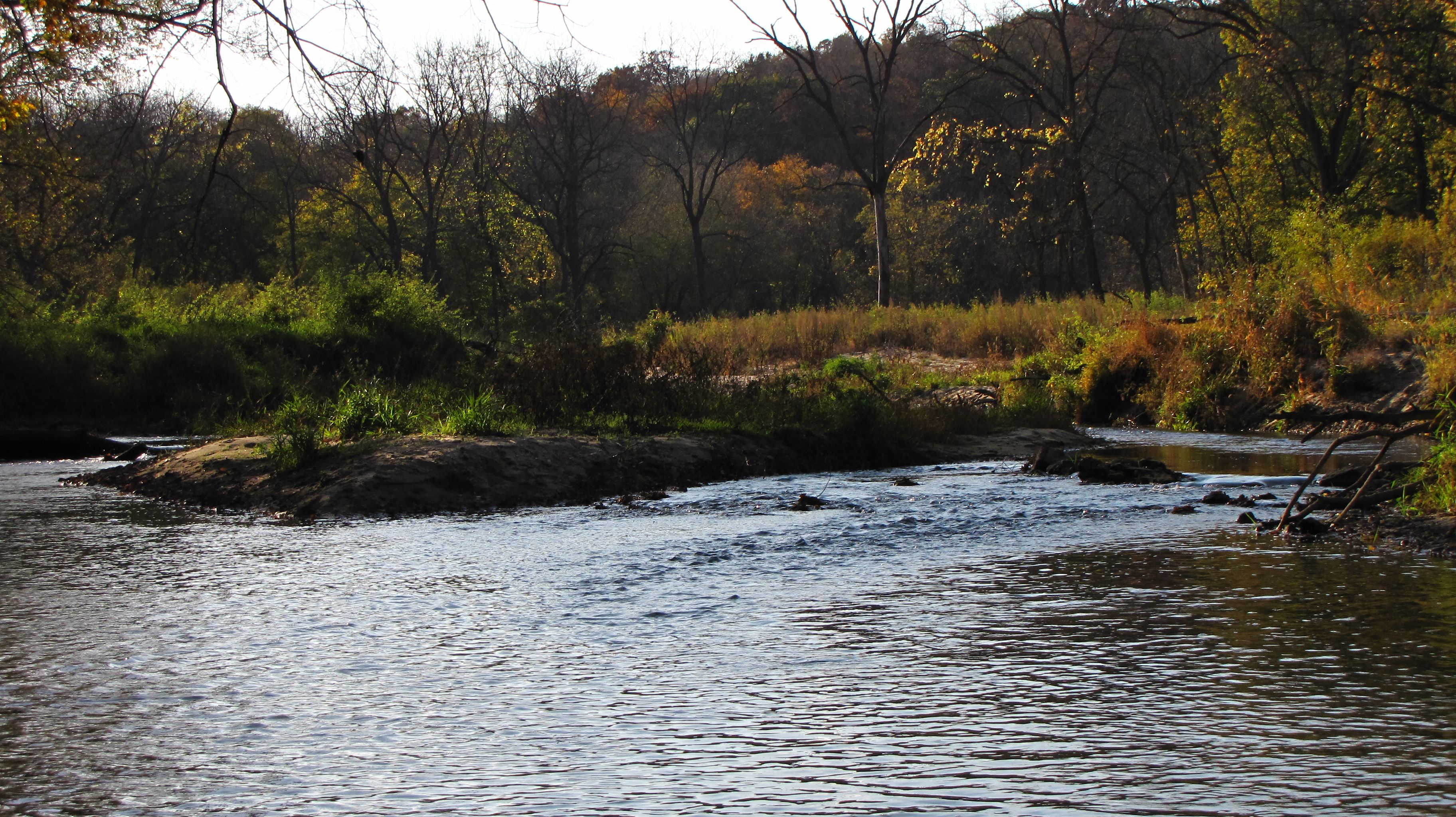
Elkport Panorama
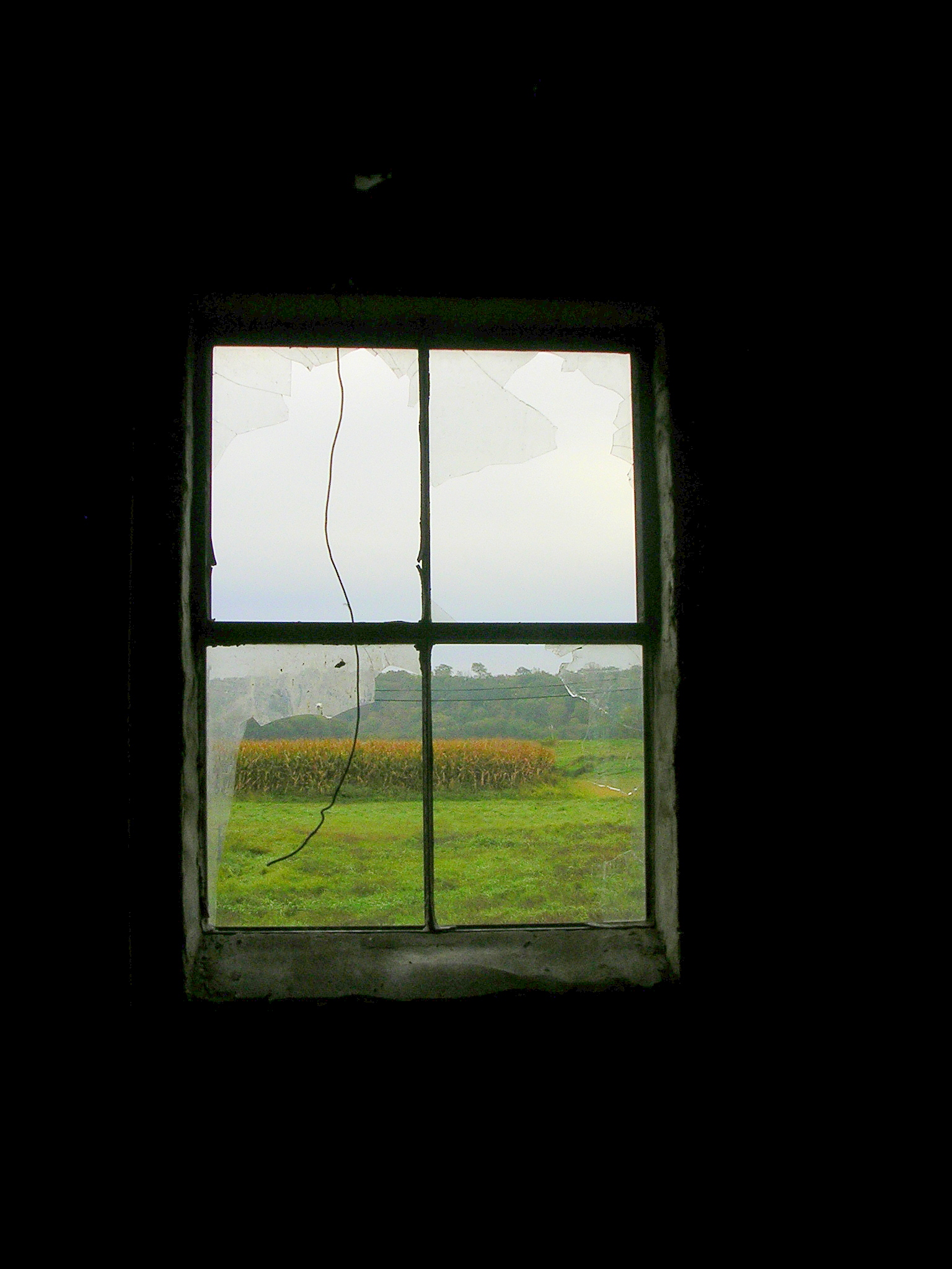
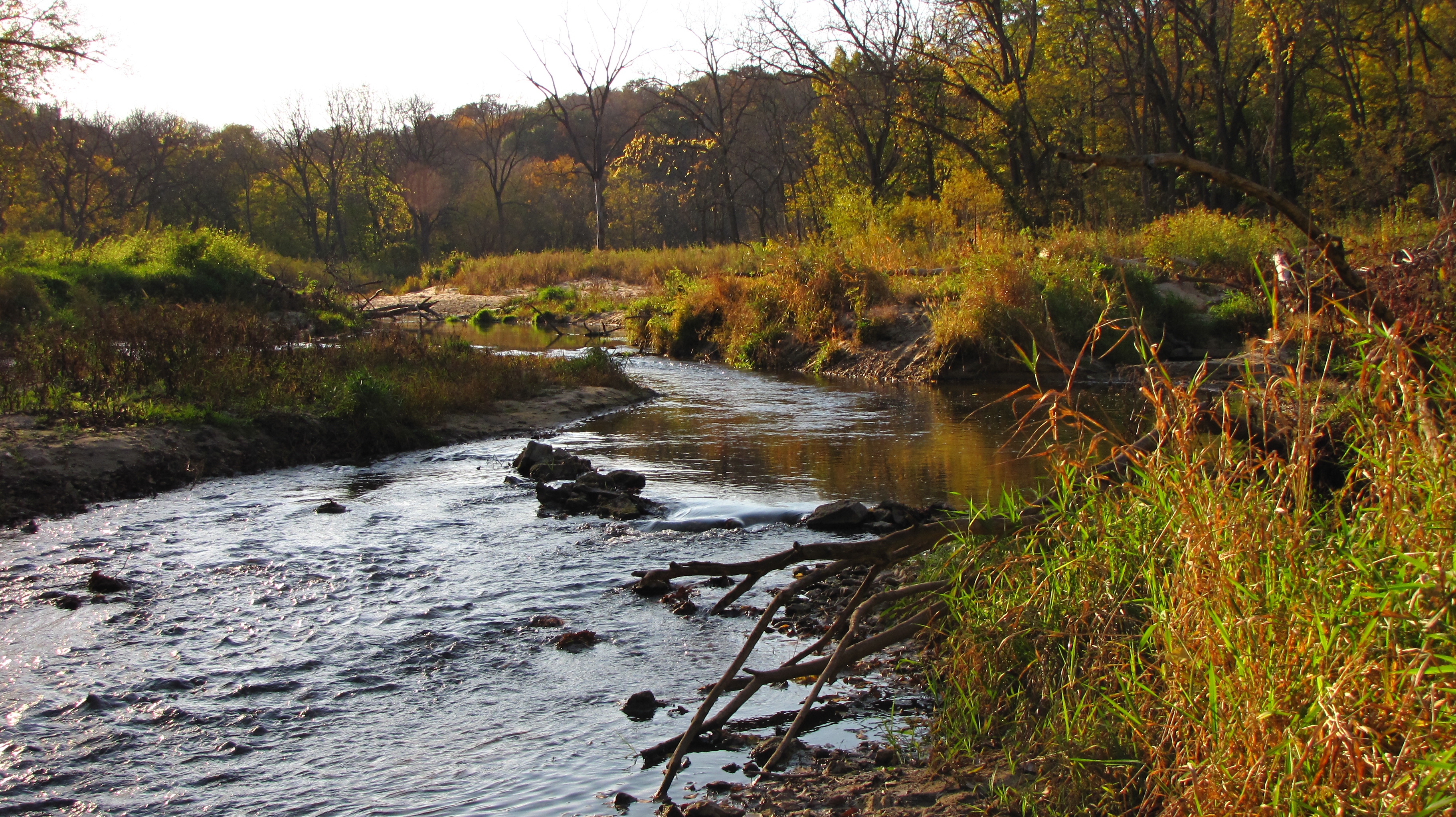
Last View from Elkport

Strawberry Point | 100/365

Amish Corn Harvest

Seen Better days

Corn Shocks
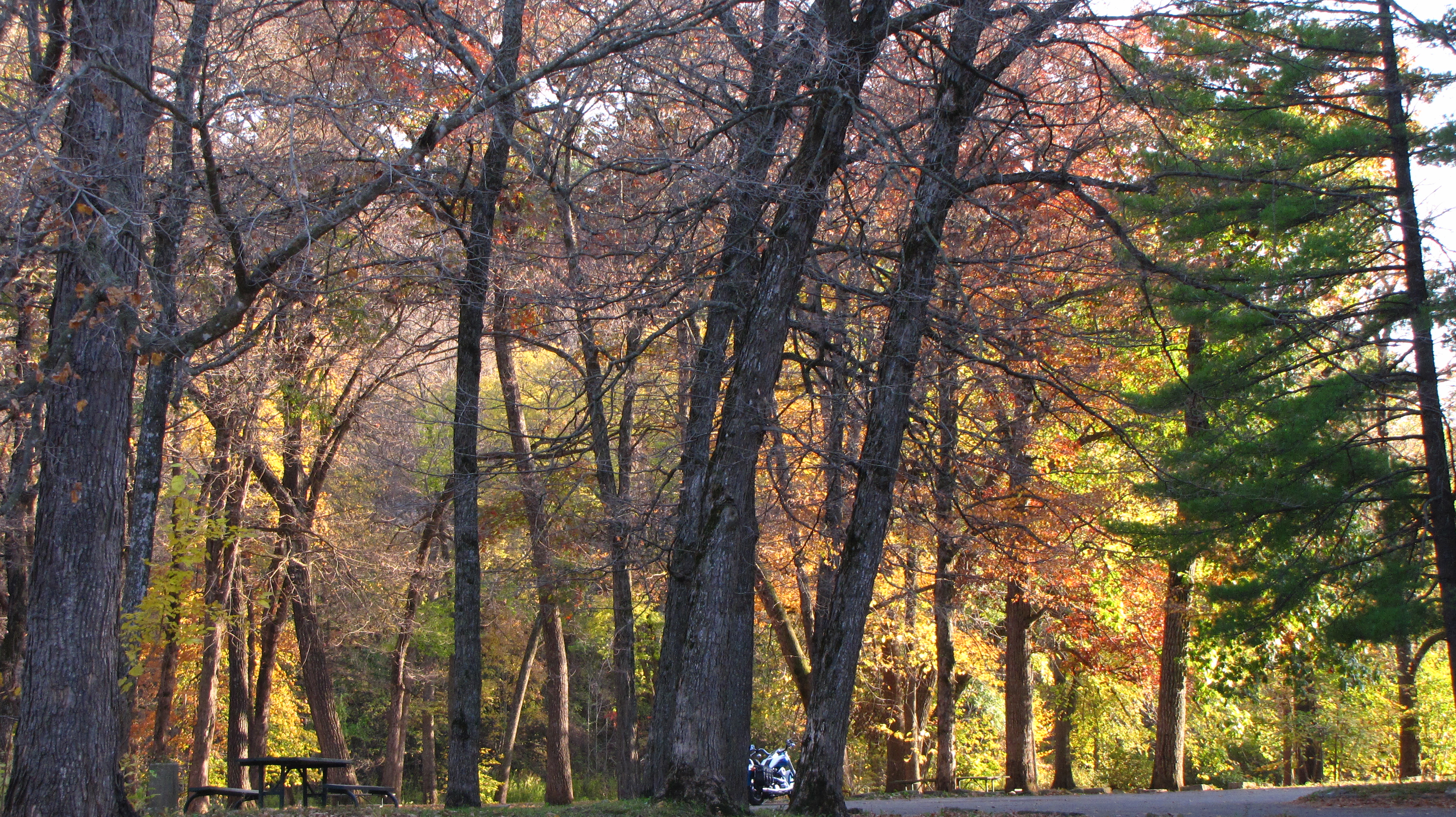
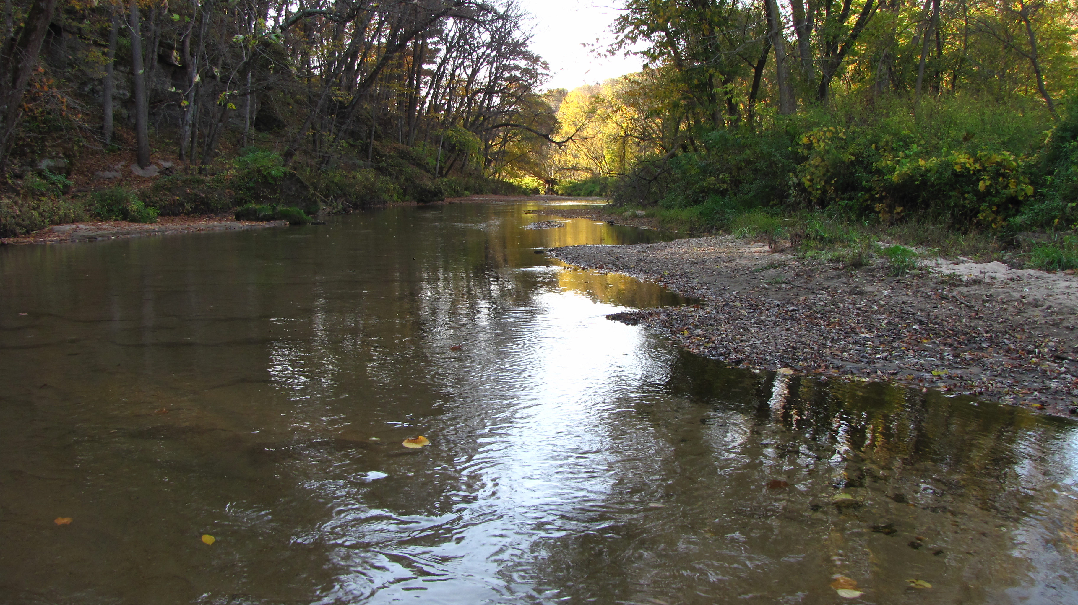
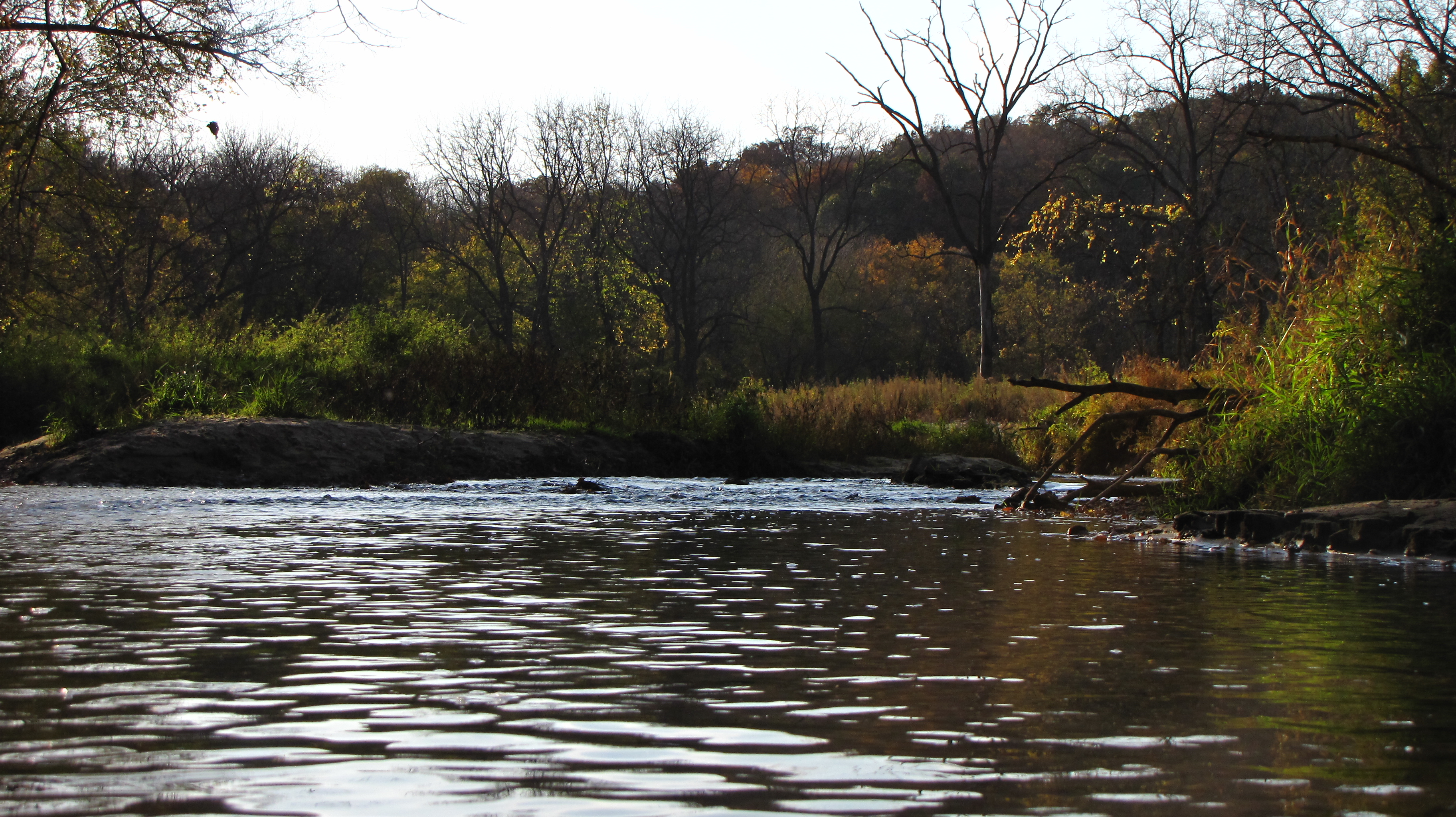
Backbone State Park in Iowa 2011-10-09 171042
Backbone State Park in Iowa 2011-10-09 164228
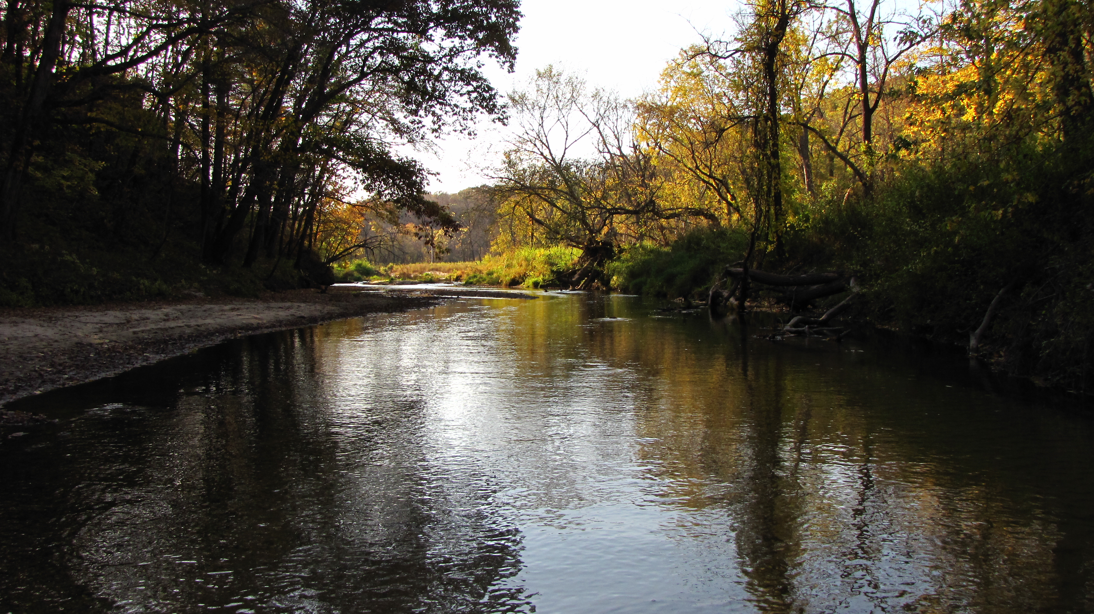
Backbone State Park in Iowa 2011-10-09 175050
Backbone State Park in Iowa 2011-10-09 174005
Backbone State Park in Iowa 2011-10-09 163153

Backbone State Park in Iowa 2011-10-09 164646
Backbone State Park in Iowa 2011-10-09 163919
July 23 2006 036
Backbone State Park in Iowa 2011-10-09 163033

Backbone State Park in Iowa 2011-10-09 165858

Backbone State Park in Iowa 2011-10-09 163217

T Bunting Farm

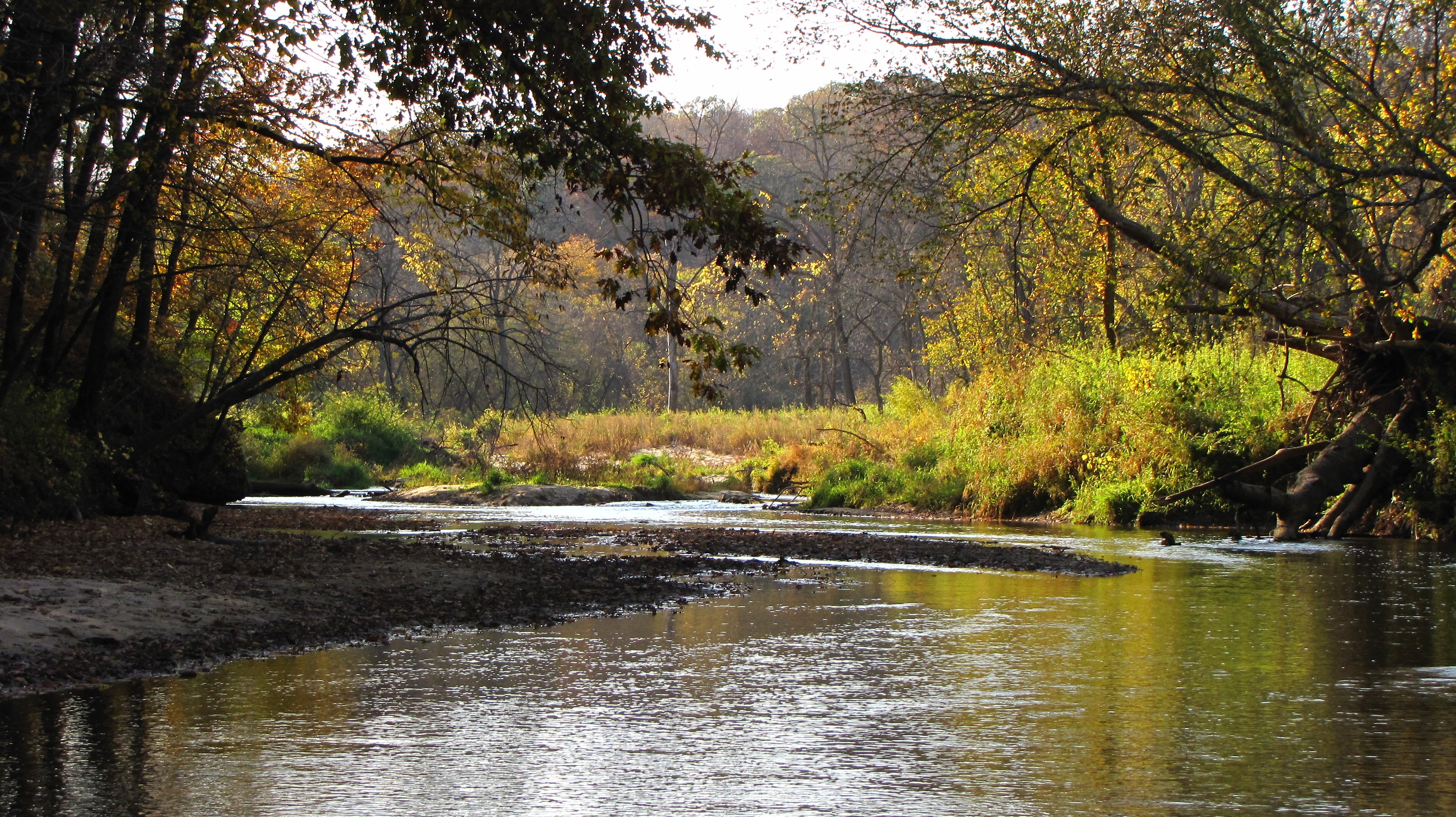
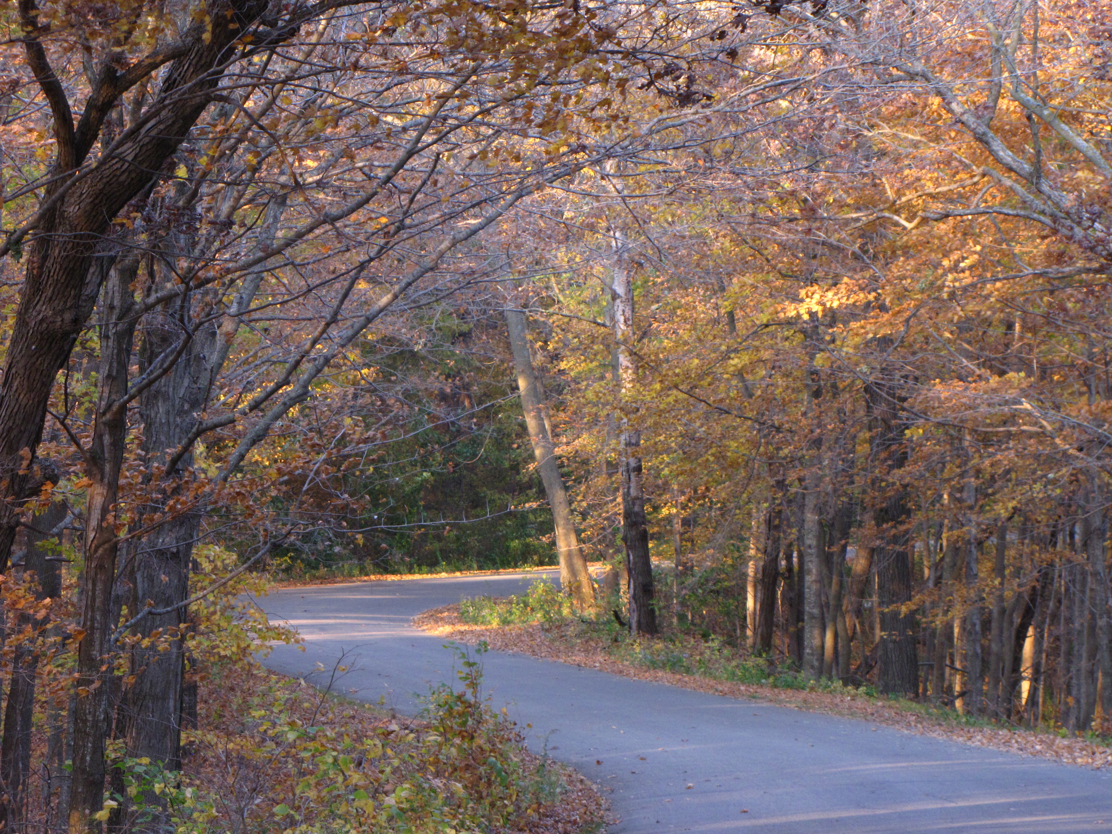
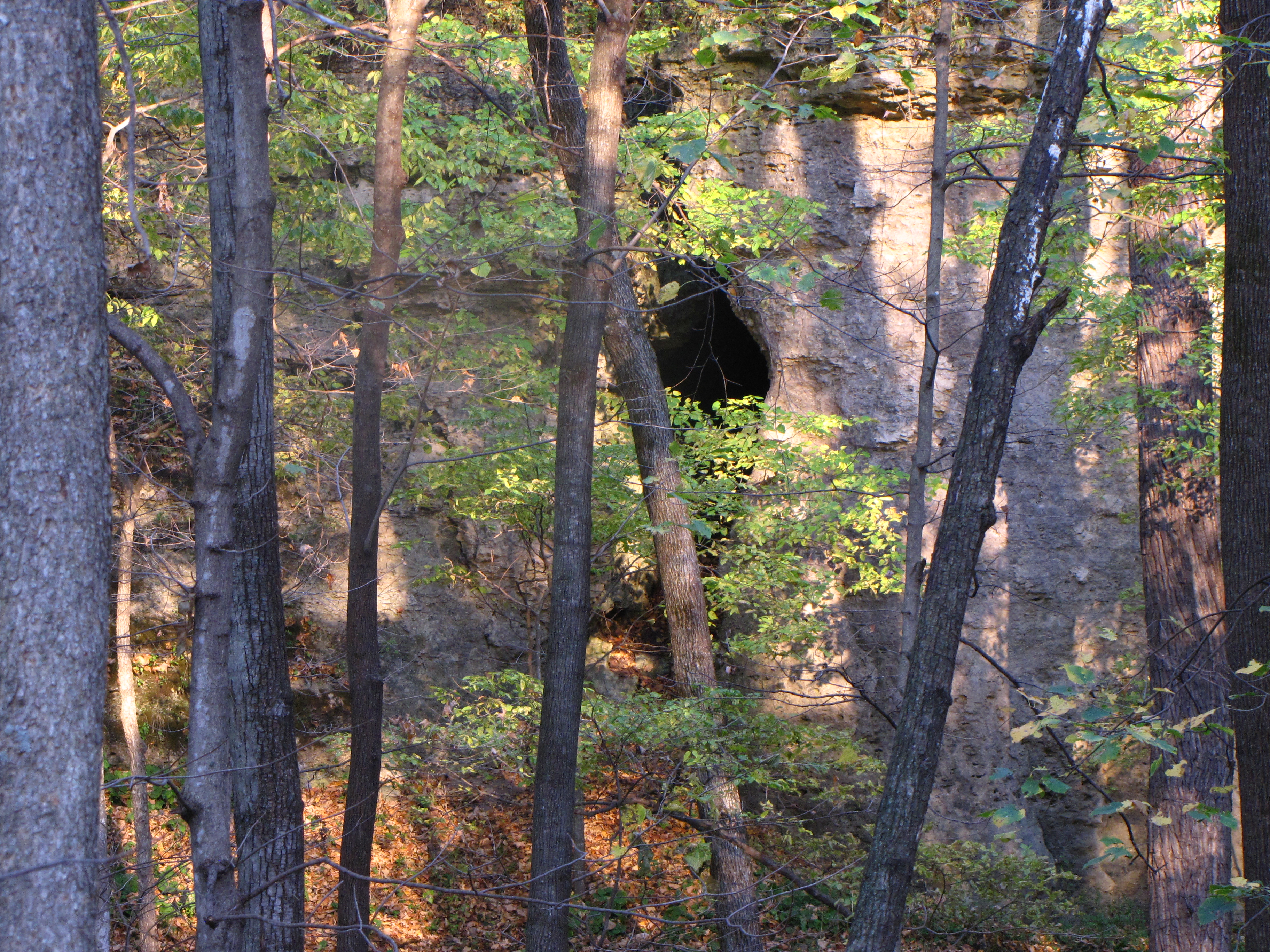
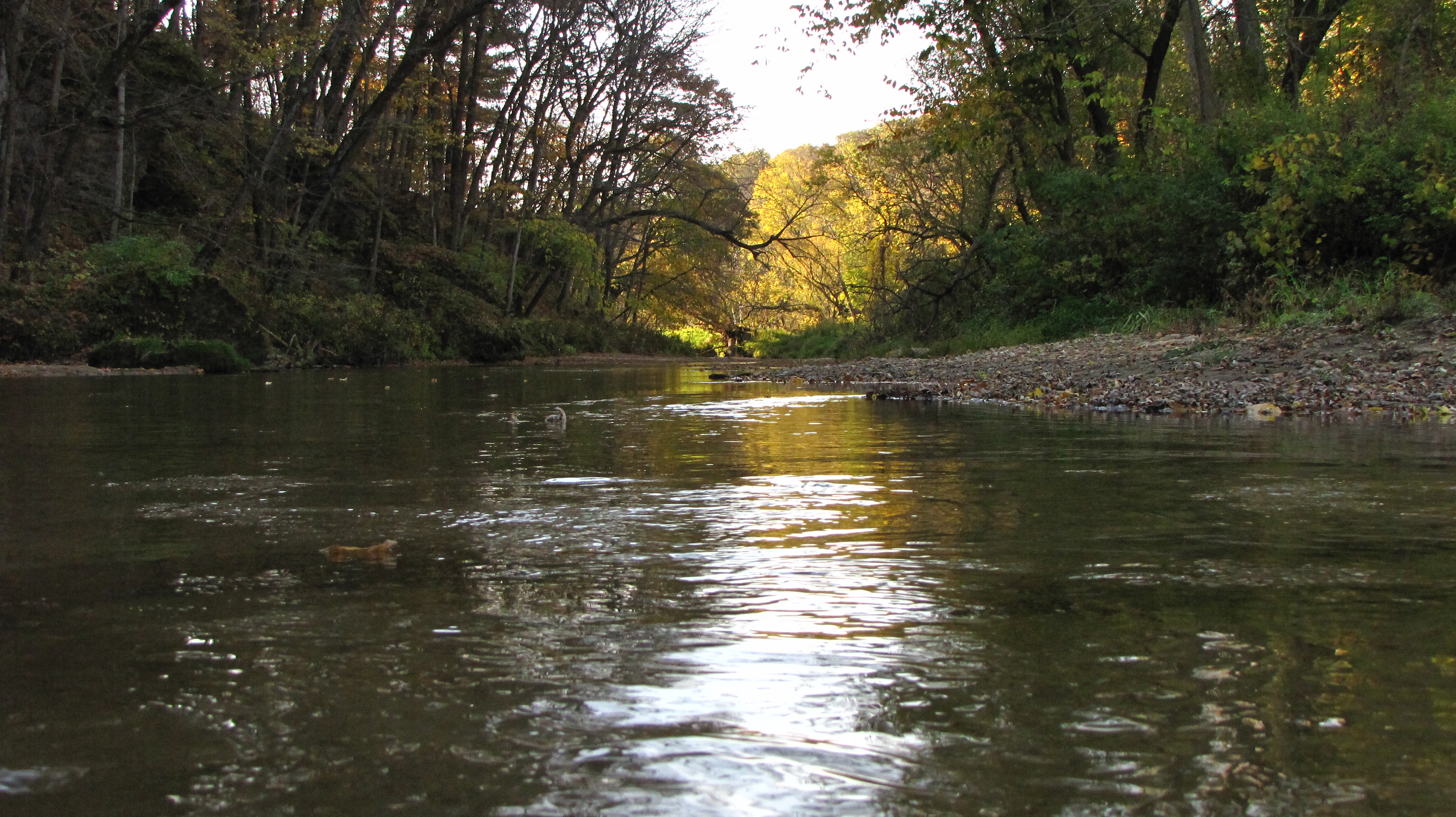
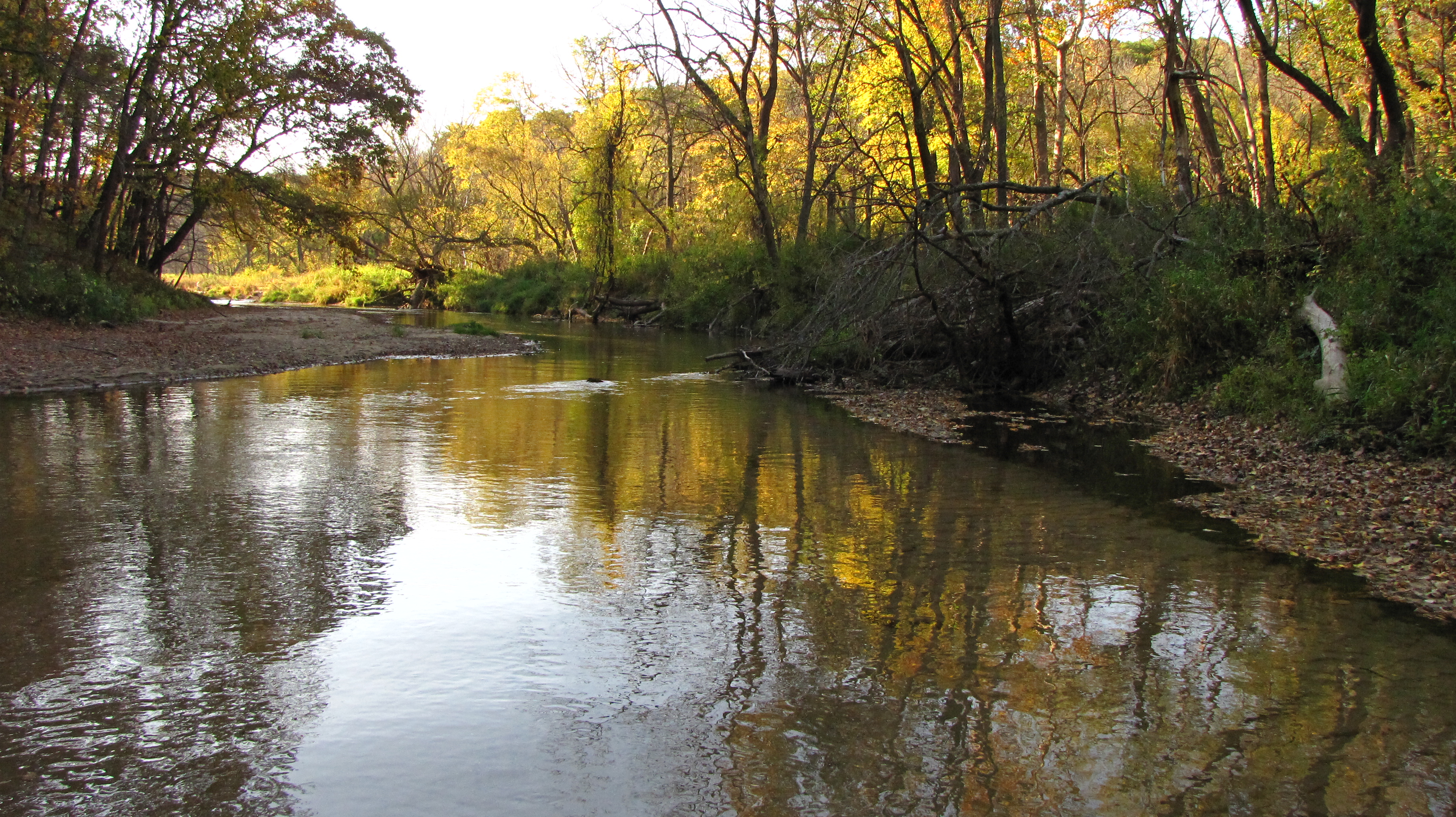
Backbone State Park
Backbone State Park in Iowa 2011-10-09 164259
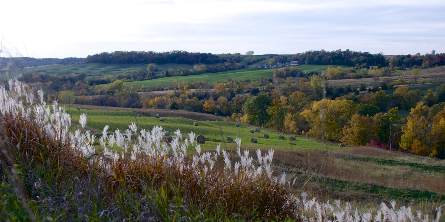
Iowa Hills & Trees Autumn
Backbone State Park in Iowa 2011-10-09 165217
Backbone State Park in Iowa 2011-10-09 165606
Backbone State Park in Iowa 2011-10-09 165403
Topographic Map of Lodomillo, IA, USA
Find elevation by address:

Places in Lodomillo, IA, USA:
Places near Lodomillo, IA, USA:
th Ave, Edgewood, IA, USA
Elkader St, Strawberry Point, IA, USA
Strawberry Point
Cass
th Ave, Manchester, IA, USA
1781 Ia-13
Delaware
807 N Main St
Boardman
Manchester
201 S 7th St
207 Bailey Dr
Delaware County
th St, Manchester, IA, USA
North St, Ryan, IA, USA
Ryan
Center St, Elgin, IA, USA
Elgin
Elgin
Elgin
Recent Searches:
- Elevation of Corso Fratelli Cairoli, 35, Macerata MC, Italy
- Elevation of Tallevast Rd, Sarasota, FL, USA
- Elevation of 4th St E, Sonoma, CA, USA
- Elevation of Black Hollow Rd, Pennsdale, PA, USA
- Elevation of Oakland Ave, Williamsport, PA, USA
- Elevation of Pedrógão Grande, Portugal
- Elevation of Klee Dr, Martinsburg, WV, USA
- Elevation of Via Roma, Pieranica CR, Italy
- Elevation of Tavkvetili Mountain, Georgia
- Elevation of Hartfords Bluff Cir, Mt Pleasant, SC, USA