Elevation of Lodgepole Rd, Peyton, CO, USA
Location: United States > Colorado > El Paso County > Peyton >
Longitude: -104.47894
Latitude: 39.091053
Elevation: 2175m / 7136feet
Barometric Pressure: 78KPa
Elevation Map:
Satellite Map:
Related Photos:
Pike's Peak, CO

HORSE SILHOUETTE!
Wetland View

Hazy View

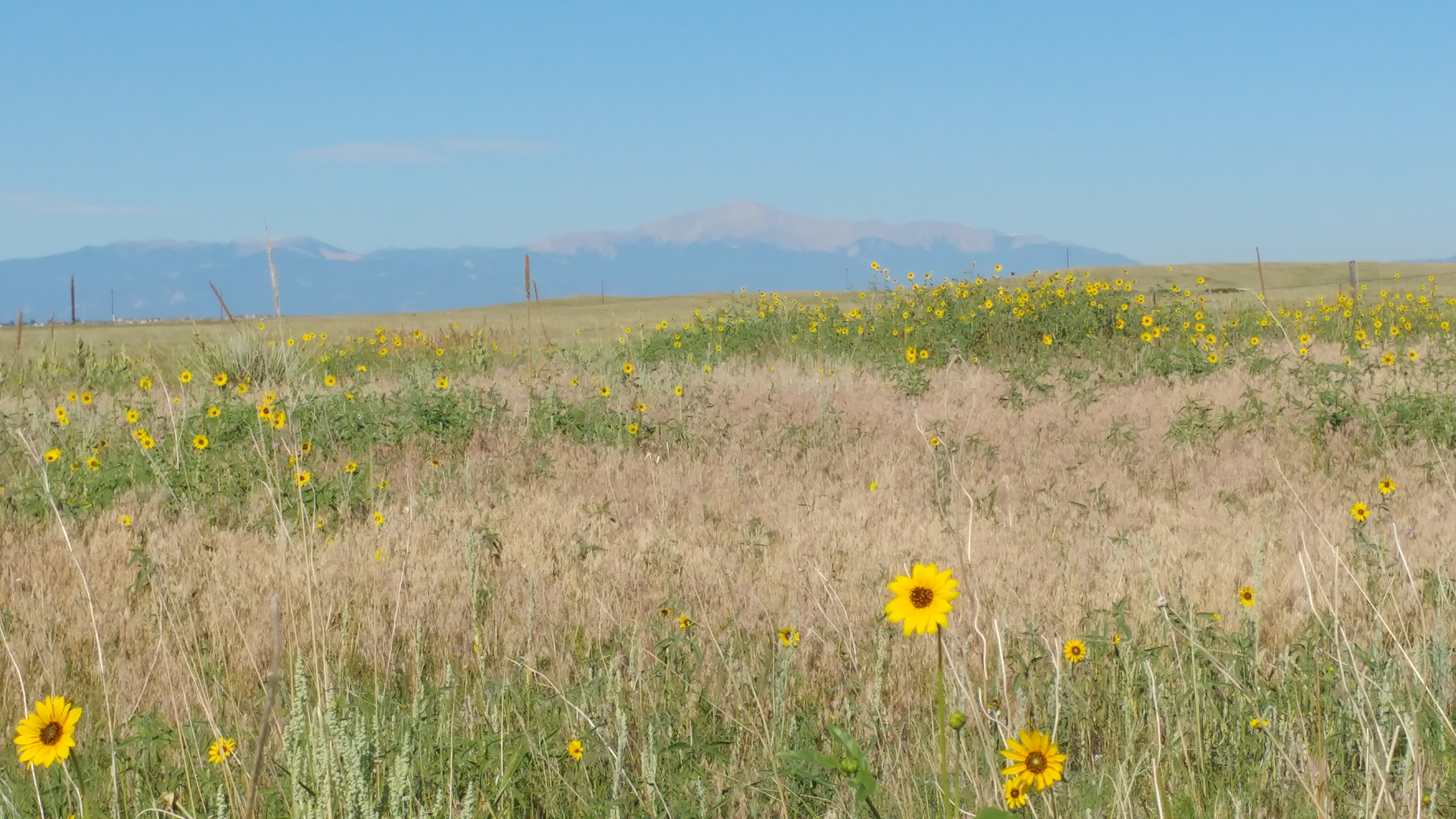
Sanctuary View of Pikes Peak

View from the Fire Tower

Wetland View

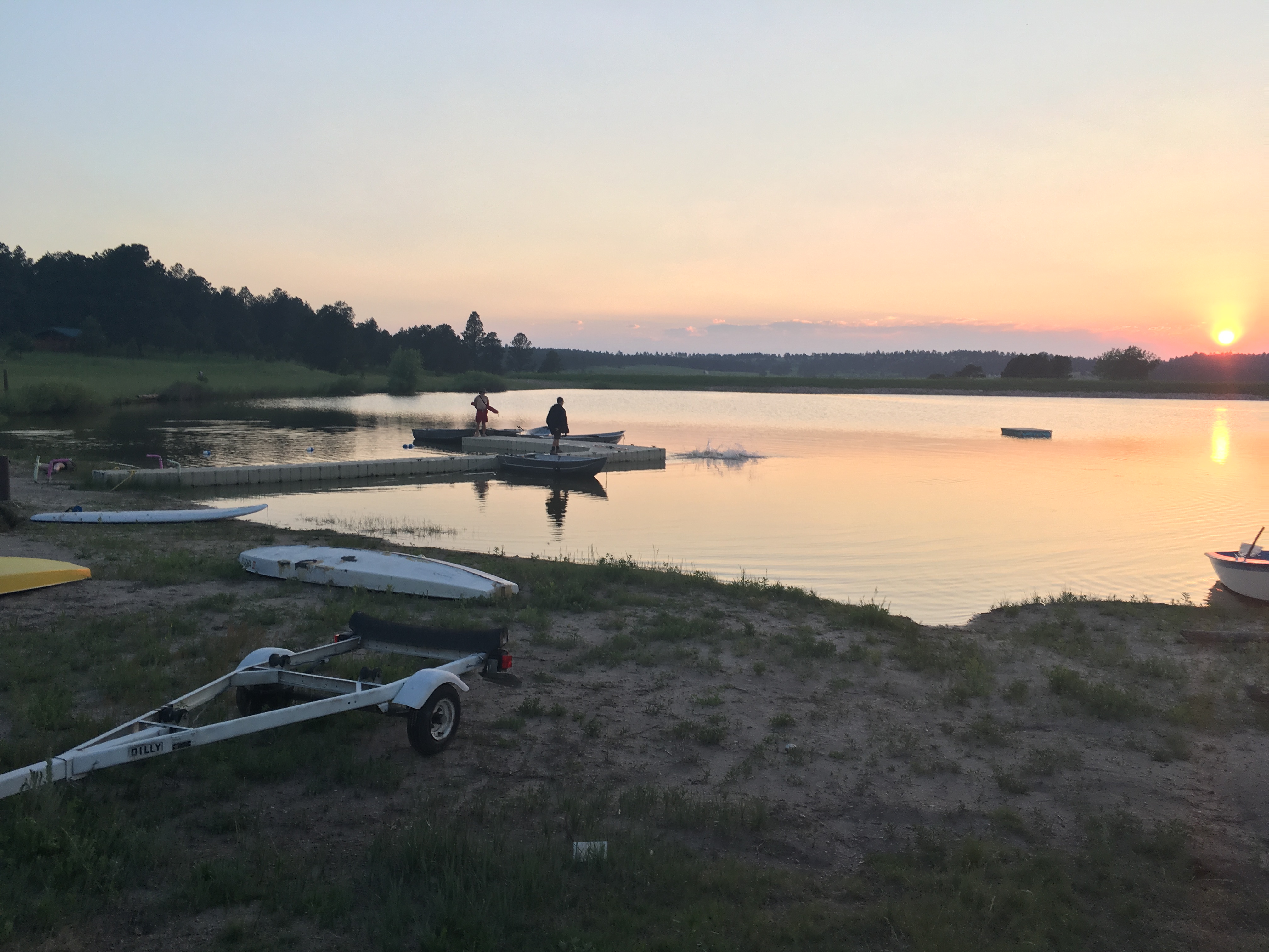
Pond View
_RWB0273-Edit-Edit.jpg

_RWB0624-Edit.jpg

_RWB0615-Edit.jpg
Evening Sky on the Plains: Falcon, Colorado (CO)

Snow, Pond, Elbert, Colorado at Sunrise
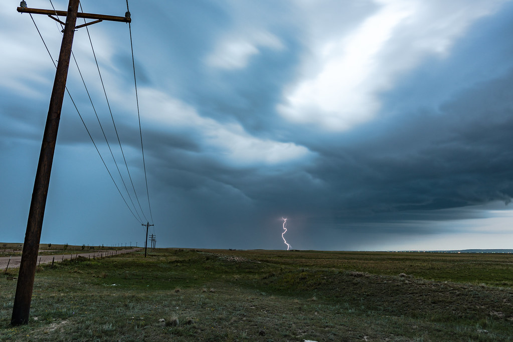
Eastonville Lightning 2
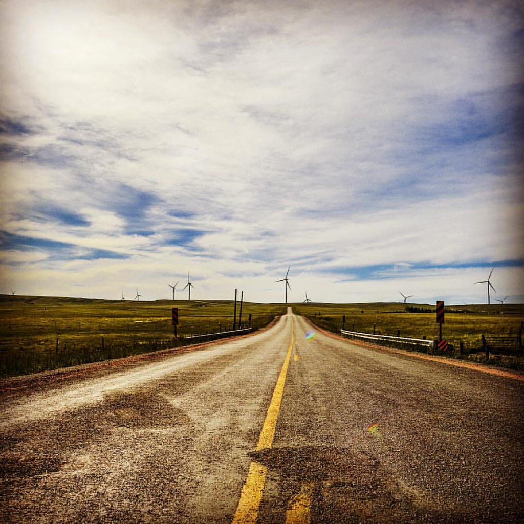
Road to nowhere
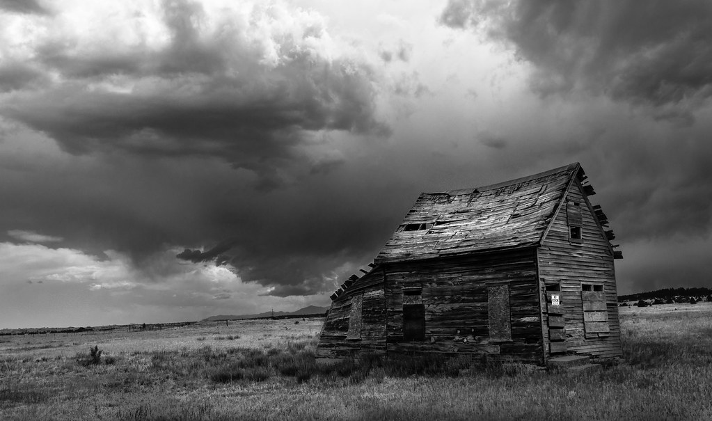
Abandoned (Explored)

Pikes Peak
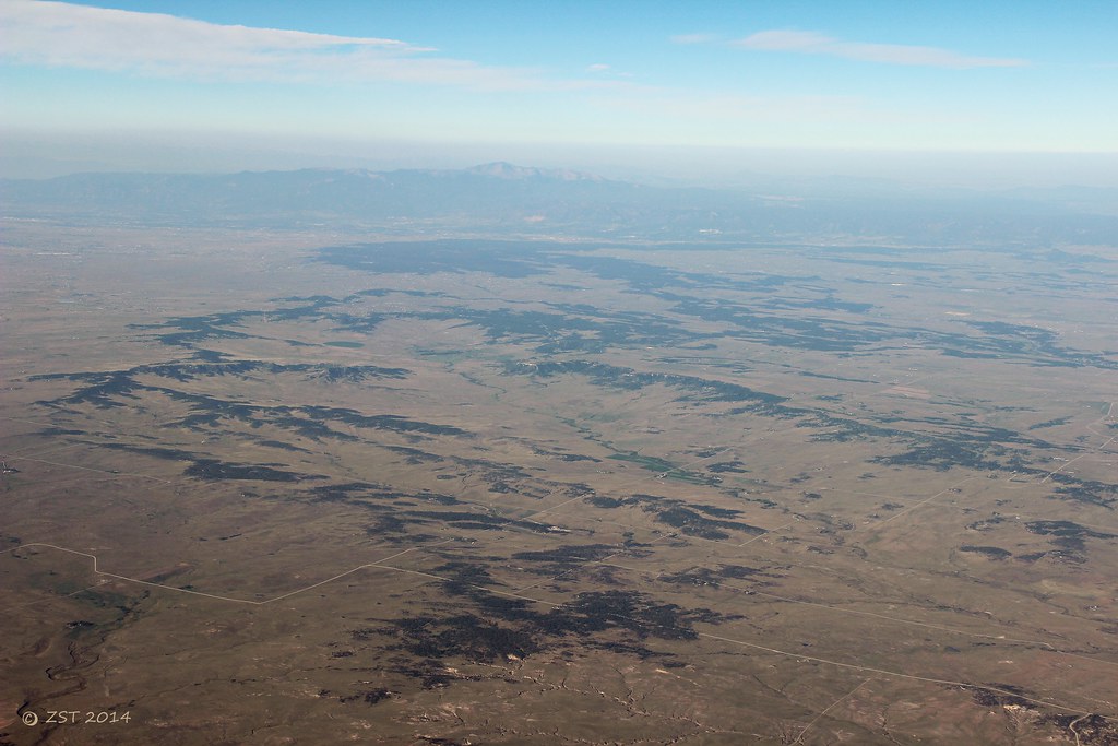
Black Forest & Rockies

Colorado Sunsets Spring 2012

Mule Deer
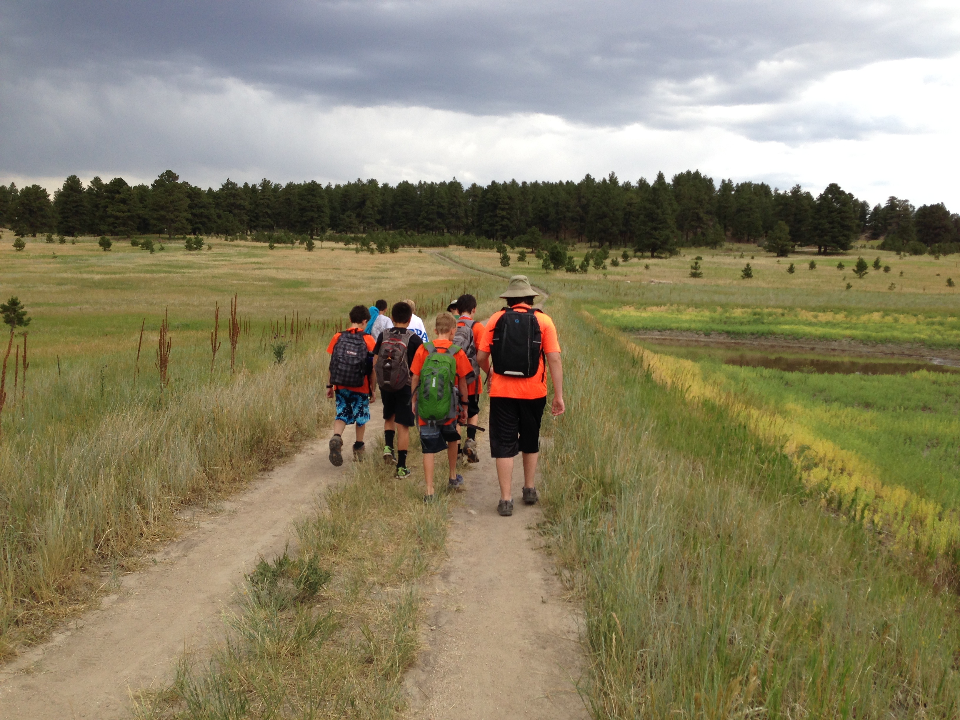
Heading back from Day 1 of the Rifle merit badge
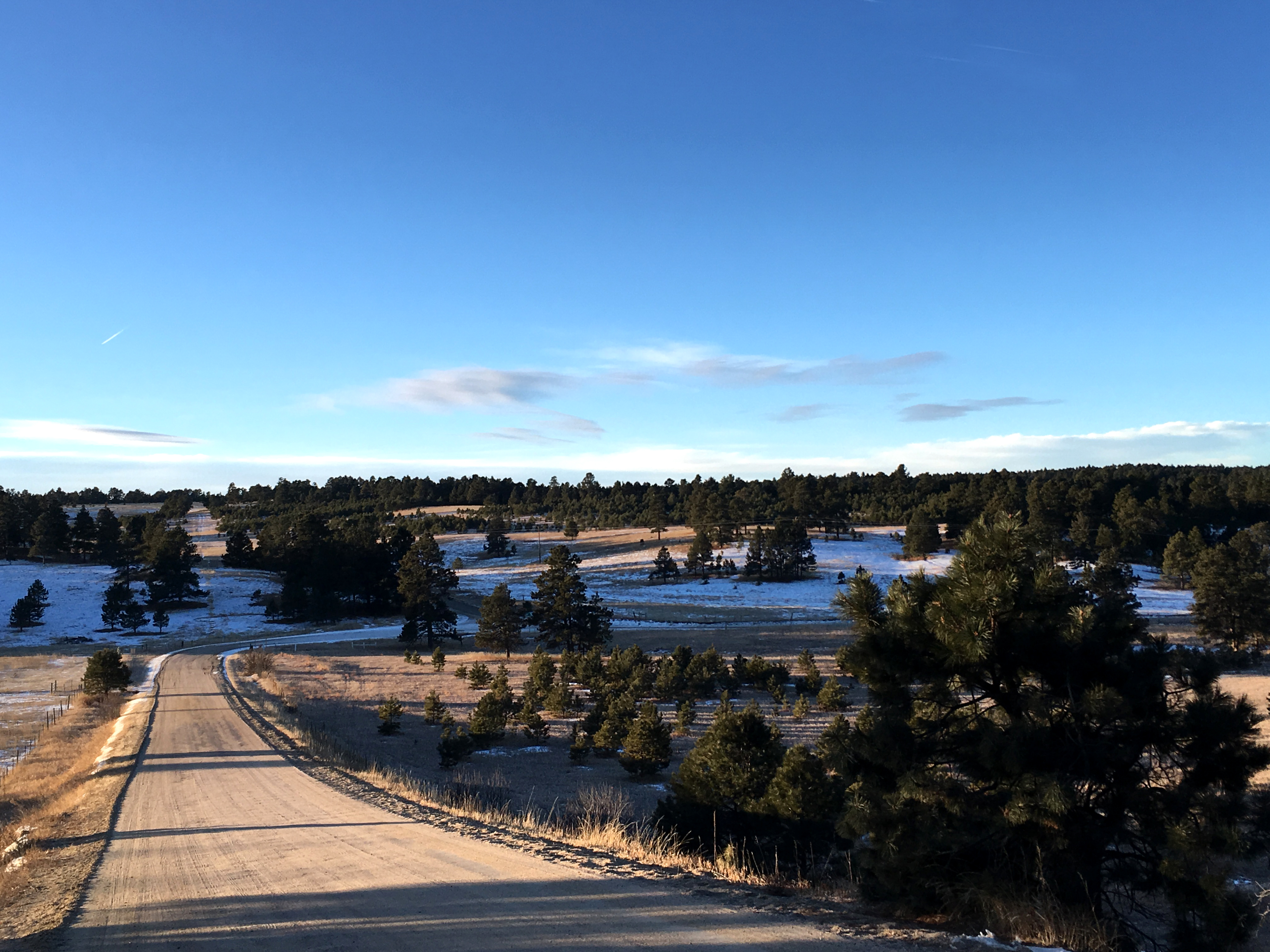
Establishing Shot - Elbert County CO - January 2017
Marvin Bobo - image (132)
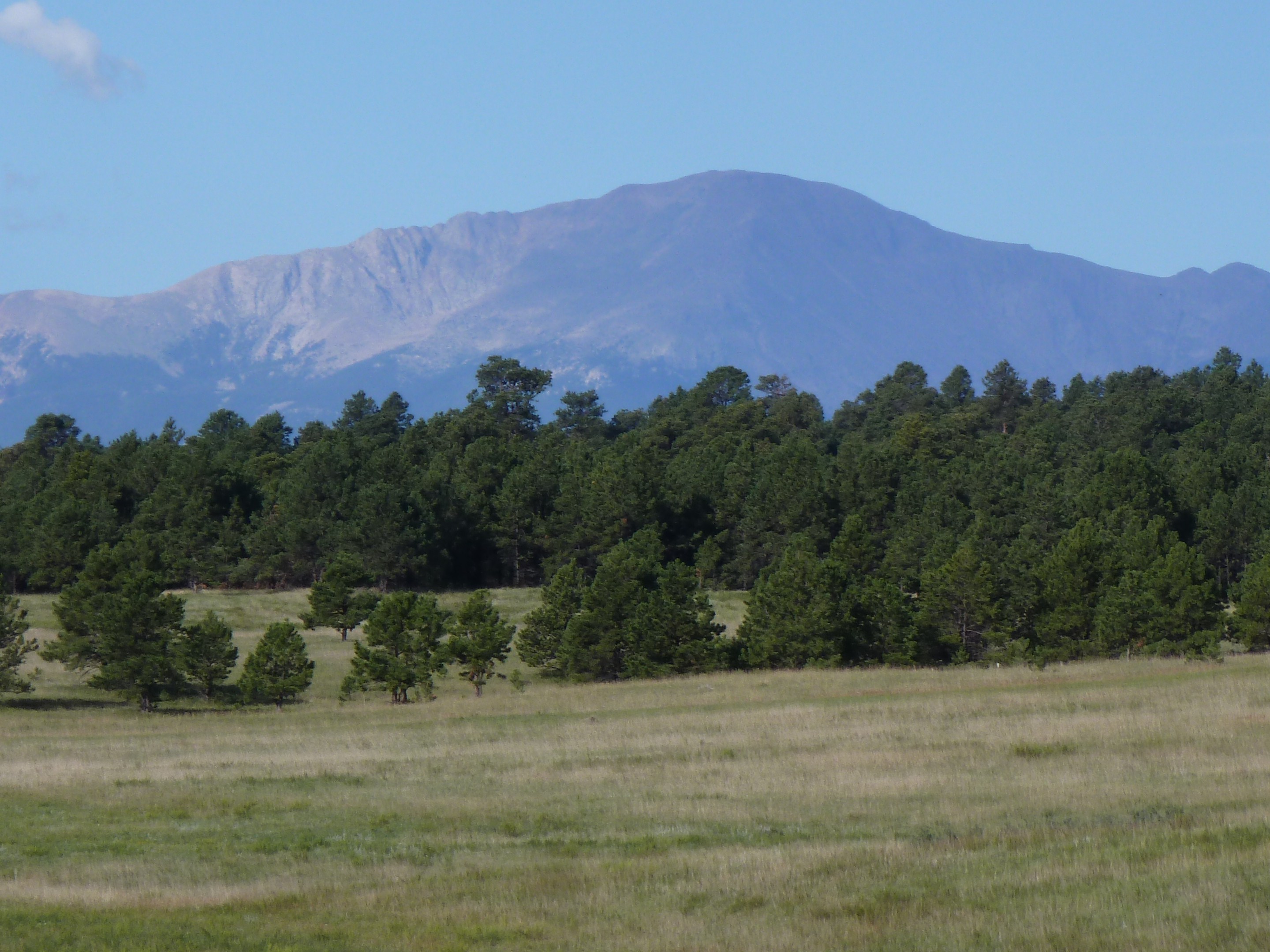
Pikes Peak
Pike's Peak, CO2
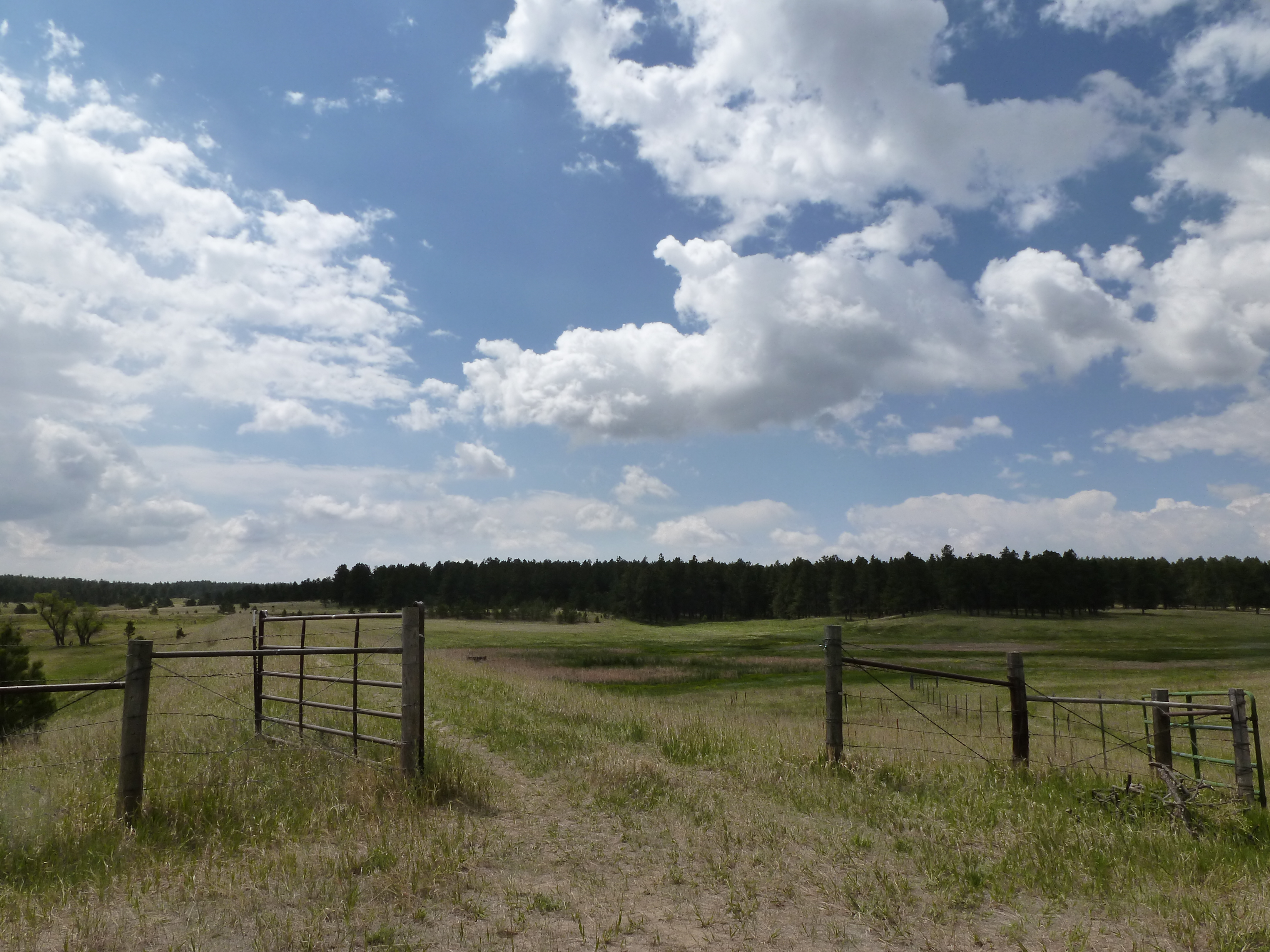
Through the gate

Another Small Wetland with Flowers

Sunset on the edge of Black Forest
Topographic Map of Lodgepole Rd, Peyton, CO, USA
Find elevation by address:

Places near Lodgepole Rd, Peyton, CO, USA:
18905 Ackerley Heights
19220 Pinon Park Rd
Connestoga Court
18840 Sweet Rd
17843 Pinon Park Rd
19960 Birdseye View
Sweet Road
19405 Birdseye View
19550 Horseshoe Ct
11535 Fulda Ln
Edgewood Drive
Homestead Ranch Park
18982 Edgewood Dr
16110 Reata Rd
Peyton
14630 Tiboria Loop
19530 Cheryl Grove
Log Rd & Murphy Rd
Log Rd & Murphy Rd
Eastonville
Recent Searches:
- Elevation of Kreuzburger Weg 13, Düsseldorf, Germany
- Elevation of Gateway Blvd SE, Canton, OH, USA
- Elevation of East W.T. Harris Boulevard, E W.T. Harris Blvd, Charlotte, NC, USA
- Elevation of West Sugar Creek, Charlotte, NC, USA
- Elevation of Wayland, NY, USA
- Elevation of Steadfast Ct, Daphne, AL, USA
- Elevation of Lagasgasan, X+CQH, Tiaong, Quezon, Philippines
- Elevation of Rojo Ct, Atascadero, CA, USA
- Elevation of Flagstaff Drive, Flagstaff Dr, North Carolina, USA
- Elevation of Avery Ln, Lakeland, FL, USA