Elevation of Locust Corner Rd, Cincinnati, OH, USA
Location: United States > Ohio > Clermont County > Pierce Township >
Longitude: -84.275771
Latitude: 39.024628
Elevation: 261m / 856feet
Barometric Pressure: 98KPa
Elevation Map:
Satellite Map:
Related Photos:

Downy woodpecker

TrackHead Studios - Hunger

TrackHead Studios - Bear Blowing Kisses
TrackHead Studios - New Flooring

TrackHead Studios - Oops! She did it.

AMERICAN COOT
Lichen Bench
Return to innocence ..view large

TrackHead Studios - Brown Smoke

TrackHead Studios - One Big Bowl
she said she knew the path like the back of her hand
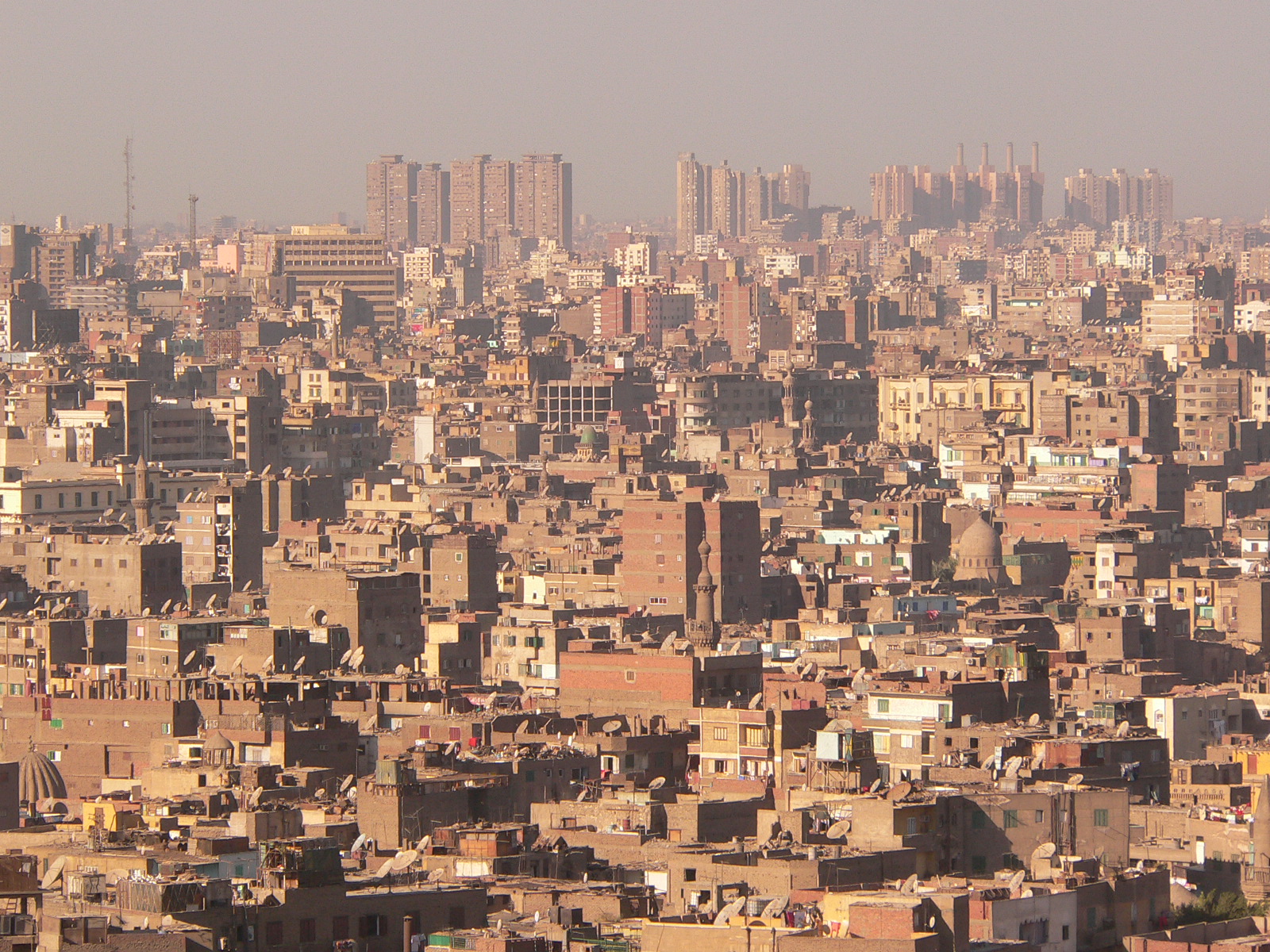
Cairo City View
General's House, empty at Ft. Thomas

Empty officer's housing in Ft Thomas, Kentucky

Who Knew: the Easter Bunny can weld?
TrackHead Studios - Philosophy 101
TrackHead Studios - Selfie

J trail (view large)

TrackHead Studios - Pink Health

GREEN HERON

Red-Necked Grebe

Fog Mirror
8-22-14, Ulrey Run. EXPLORE 11-16-2014
Sinai, The Begin Of The Day
Explored (10.05.2014)
Ridge trail
IMG_1937.JPG

TrackHead Studios - From The Ground Up

Northern Harrier

COMMON YELLOWTHROAT
IMG_5835.JPG

Morning Reflections

IMG_1834.JPG
Fishing by the River

Sunrise Over East Fork Lake.
Clouds and a Sunset

deck above stream by labyrinth
Gorgeous Mountaineous

COMMON YELLOWTHROAT

Meadowlark Takeoff (worm still in beak)

First official RAW photos.
Topographic Map of Locust Corner Rd, Cincinnati, OH, USA
Find elevation by address:

Places near Locust Corner Rd, Cincinnati, OH, USA:
3327 Aberdeen Ridge
3665 Highland Green
Pierce Township
1060 White Oak Rd
Audubon Rd, Amelia, OH, USA
3726 Loch Lamond Dr
8523 St Ives Pl
670 Hyacinth Rd
950 Hyacinth Rd
951 Hyacinth Rd
653 Hyacinth Rd
892 E Anson Dr
Ohio Pike
5 W Main St, Amelia, OH, USA
Amelia
8608 Sunmont Dr
Milaine Dr, Cincinnati, OH, USA
4017 Woods Mill Rd
8598 Beechmont Ave
Clough Pike, Batavia, OH, USA
Recent Searches:
- Elevation of Congressional Dr, Stevensville, MD, USA
- Elevation of Bellview Rd, McLean, VA, USA
- Elevation of Stage Island Rd, Chatham, MA, USA
- Elevation of Shibuya Scramble Crossing, 21 Udagawacho, Shibuya City, Tokyo -, Japan
- Elevation of Jadagoniai, Kaunas District Municipality, Lithuania
- Elevation of Pagonija rock, Kranto 7-oji g. 8"N, Kaunas, Lithuania
- Elevation of Co Rd 87, Jamestown, CO, USA
- Elevation of Tenjo, Cundinamarca, Colombia
- Elevation of Côte-des-Neiges, Montreal, QC H4A 3J6, Canada
- Elevation of Bobcat Dr, Helena, MT, USA