Elevation of Locke Township, IN, USA
Location: United States > Indiana > Elkhart County >
Longitude: -86.032562
Latitude: 41.473036
Elevation: 264m / 866feet
Barometric Pressure: 98KPa
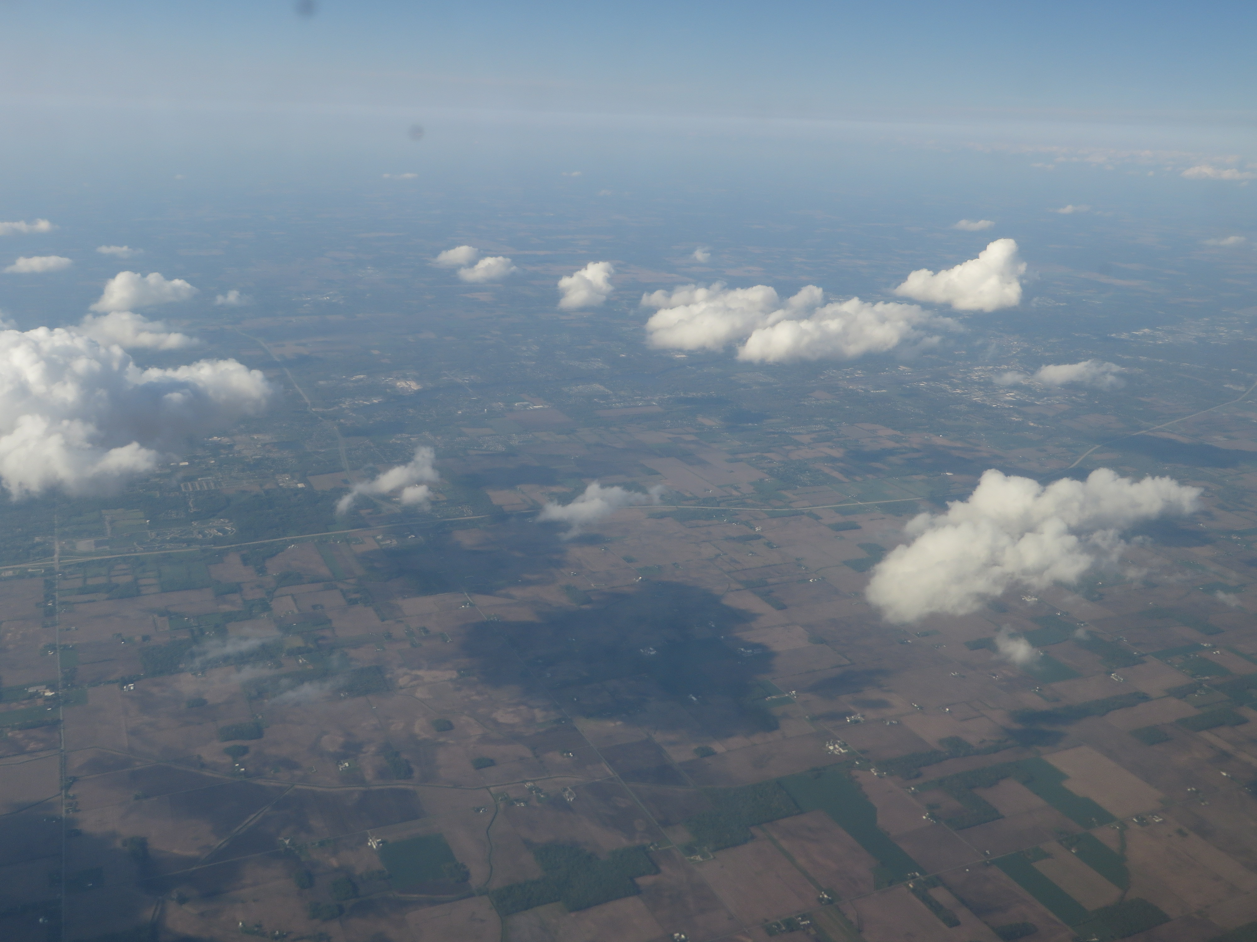
Elevation Map:
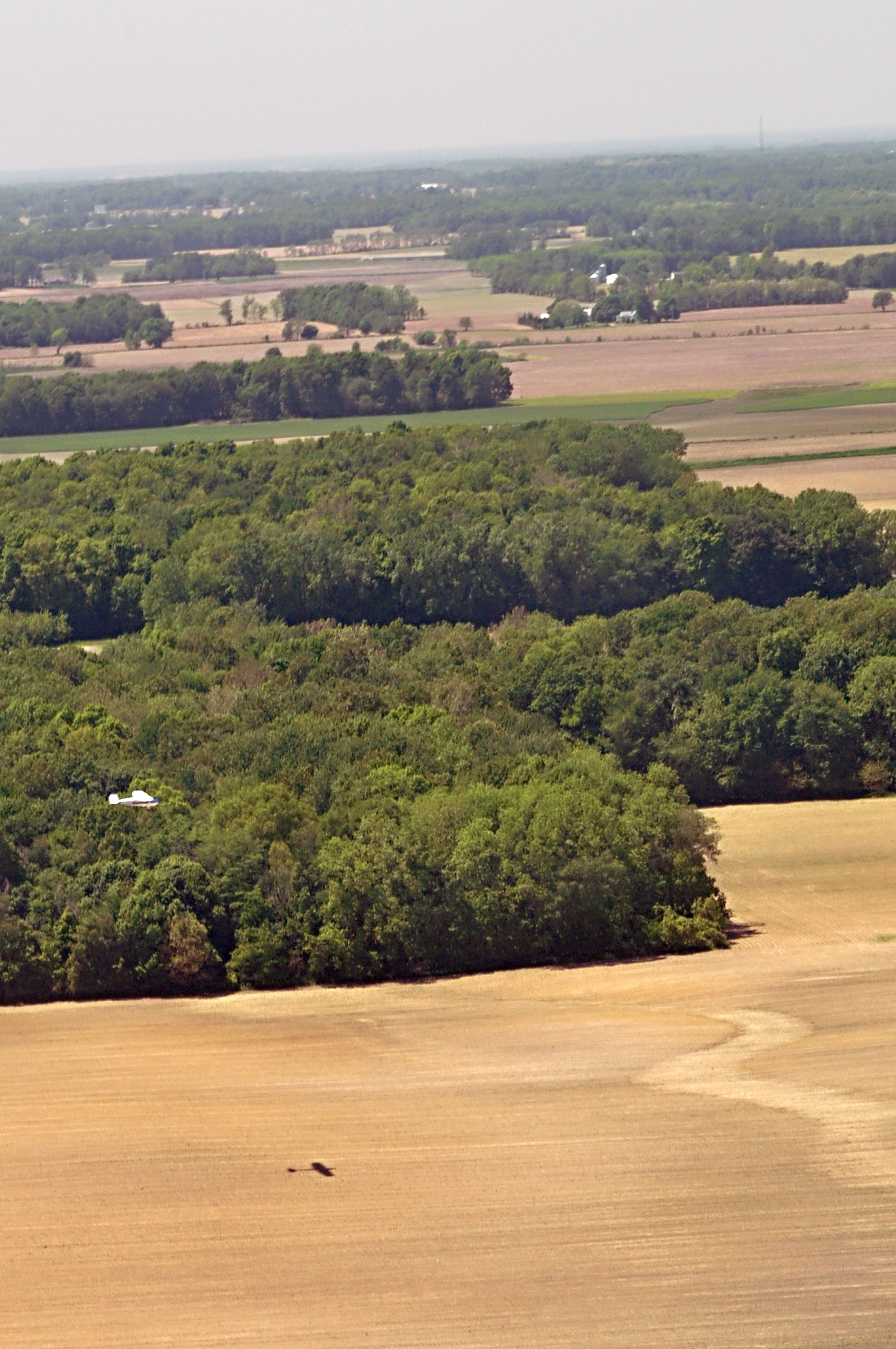
Satellite Map:
Related Photos:
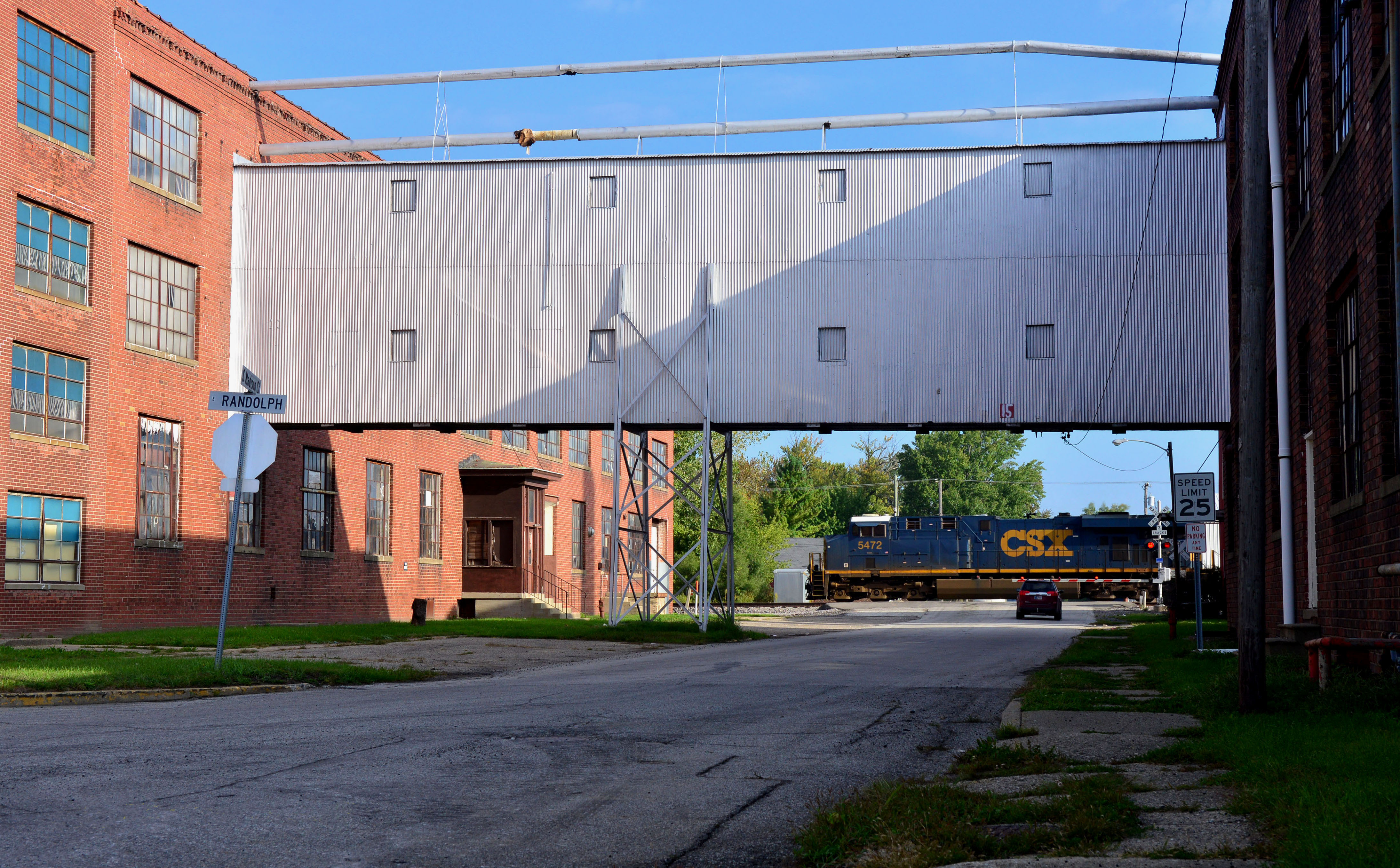
CSX 5472 - 9/17/2014
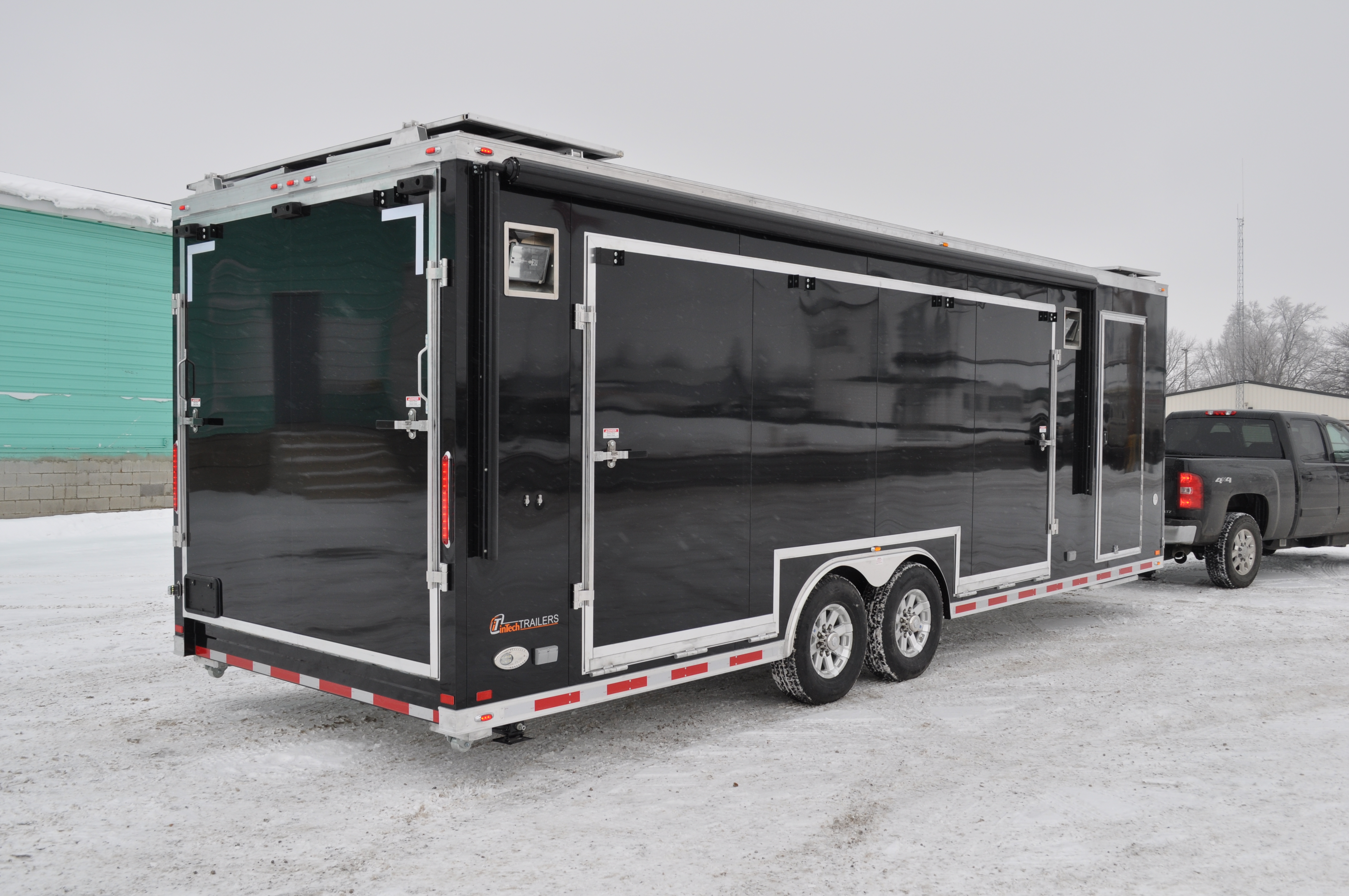
inTech Stage Trailer - Rear

Overall Rear View
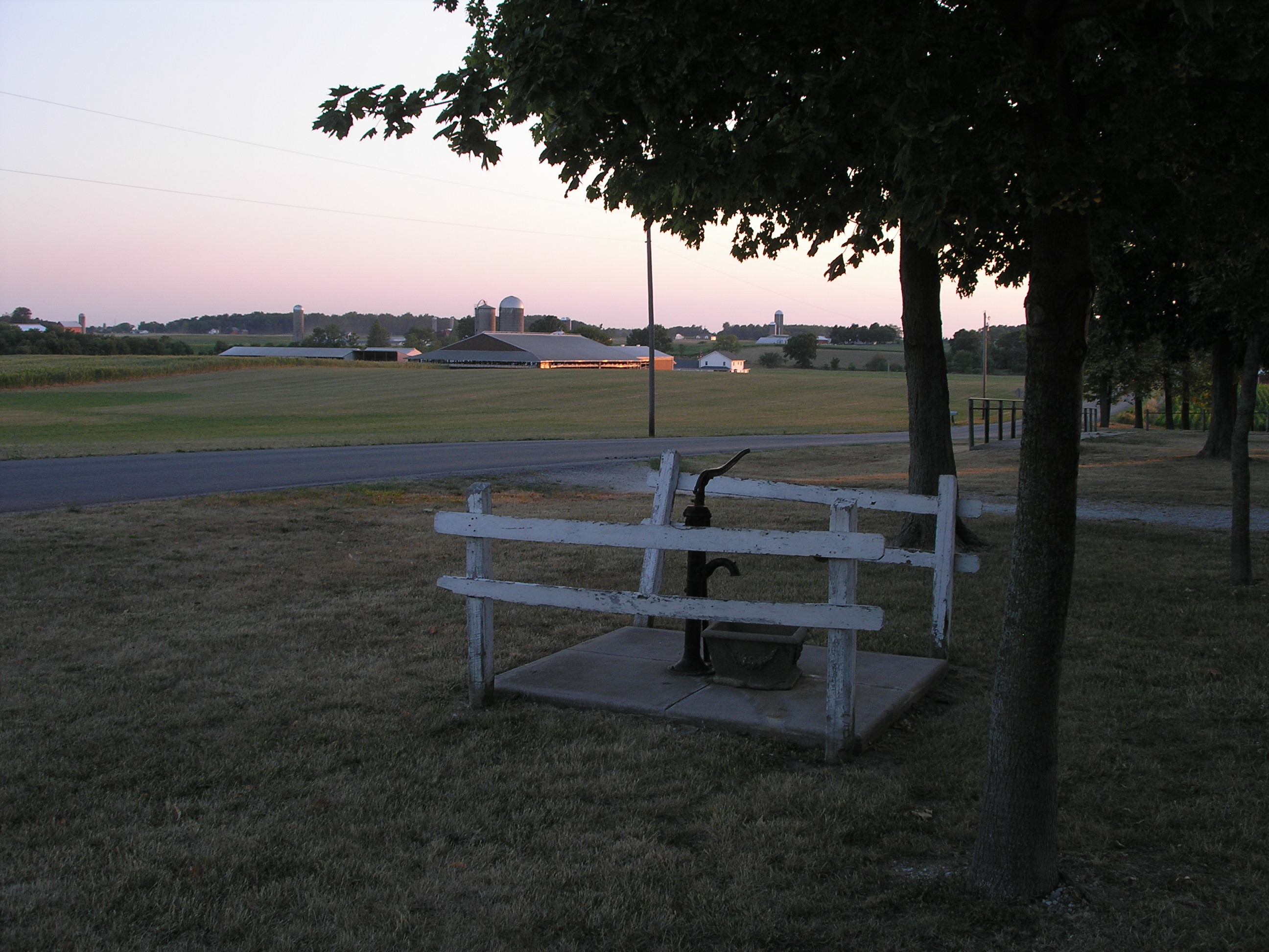
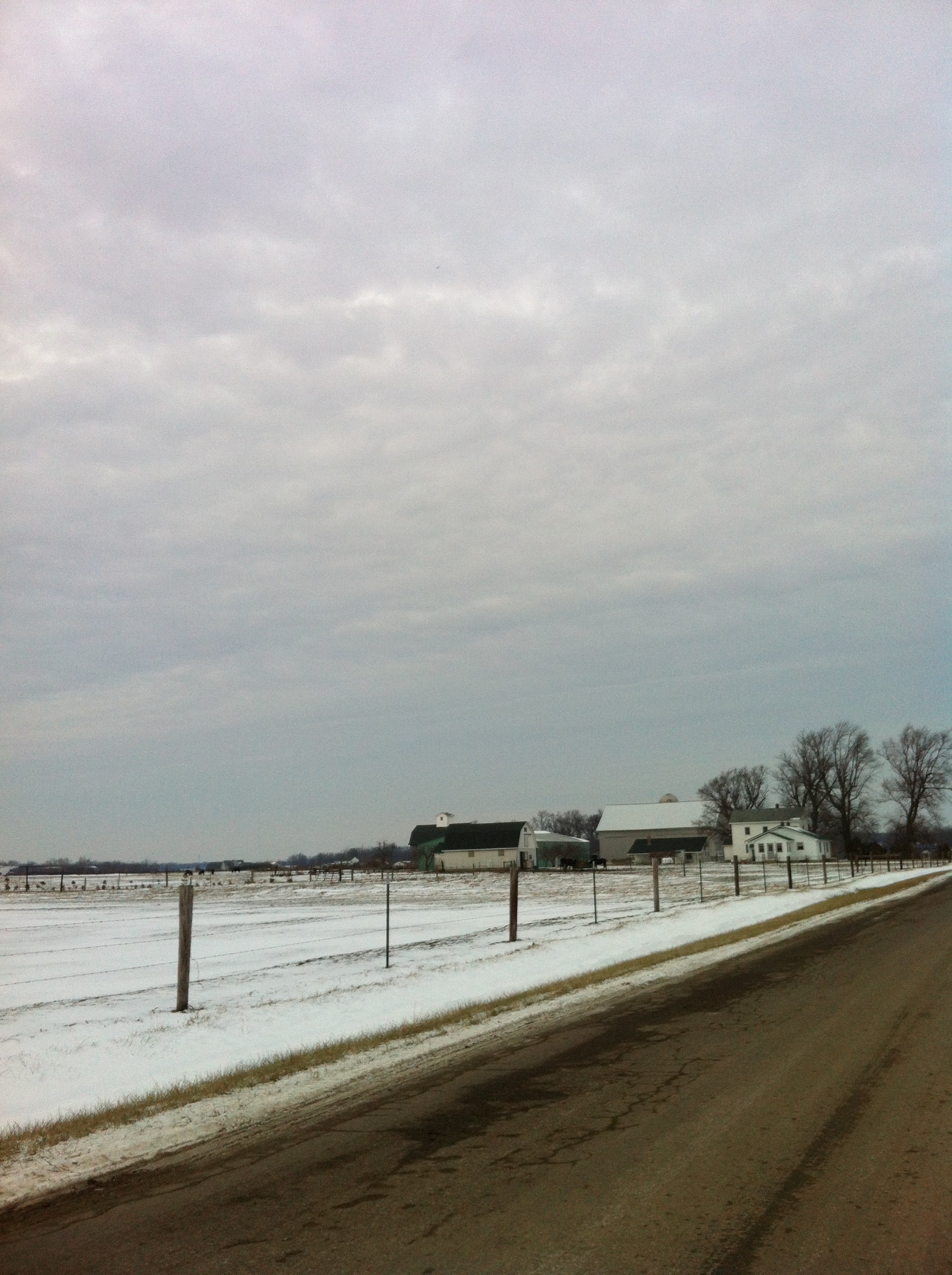
Pump With Farms

BNSF 6068 on CSX - 9/19/2015

Lovely rainbow

#indiana #nofilter
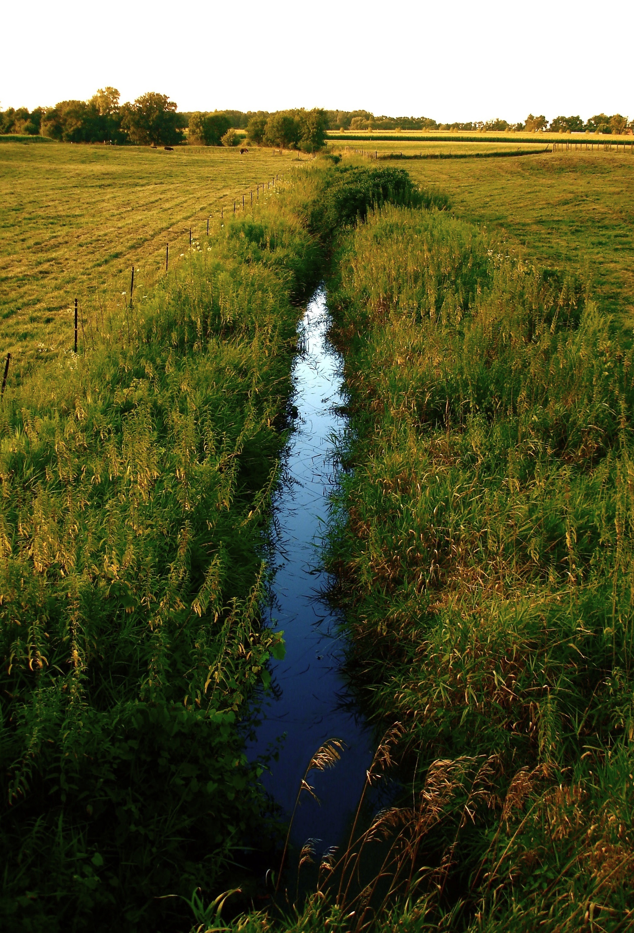
Blue Ditch, New Paris, IN

Napanee Sunset
Iphone pics 1056
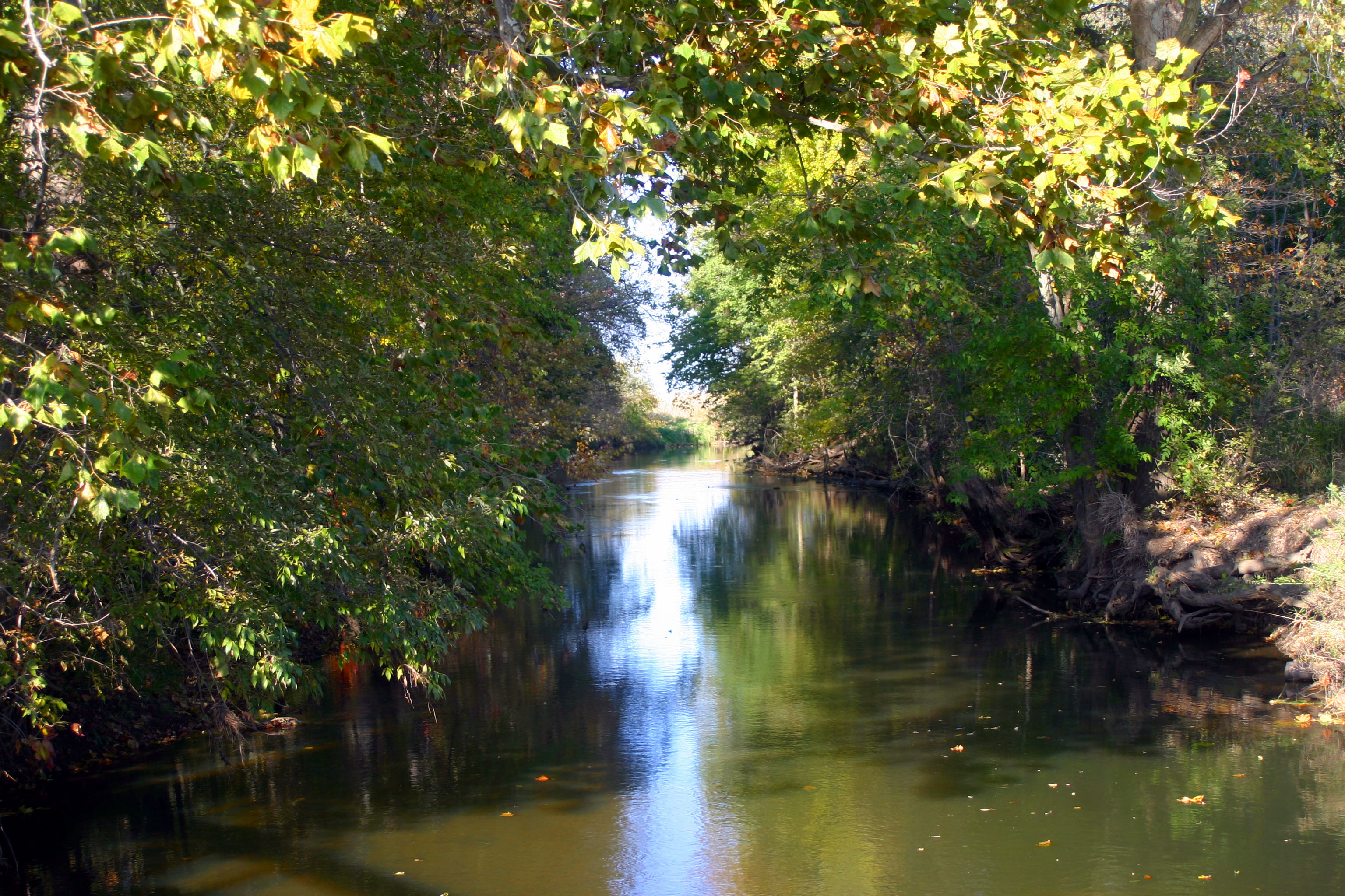
Little Creek

Napanee Cow

Grass Hopper

Team of Oxen

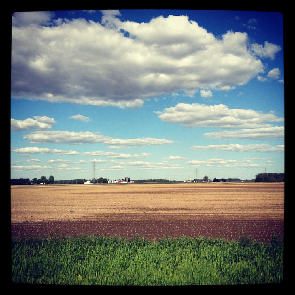
Sunset over harvested corn field

Swan Lake

Napanee Sunset
Indiana country side. #Indiana #field #clouds

Picture 125-2
Indiana countryside #country #indiana #landscape
Elkhart, Indiana
Go Around
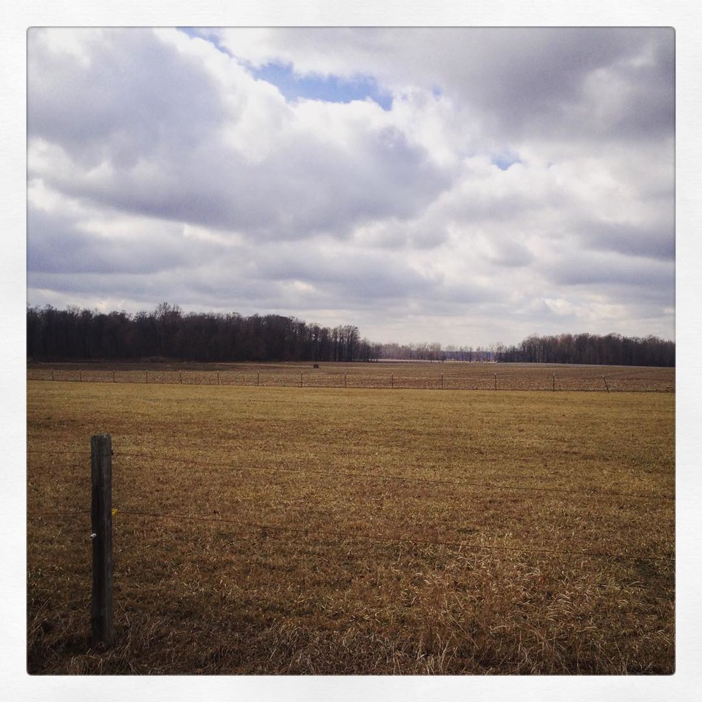
Country Side

New photo added to "Instagram"
Country Side
Topographic Map of Locke Township, IN, USA
Find elevation by address:

Places in Locke Township, IN, USA:
Places near Locke Township, IN, USA:
Co Rd 50, Nappanee, IN, USA
725 N Williams St
302 N Main St
Nappanee
156 S Main St
13420 N 750 W
Wakarusa
Olive Township
Madison Township
Co Rd 40, Goshen, IN, USA
Harrison Township
Bremen
71025 Co Rd 15
German Township
9118 N 625 W
W N, Milford, IN, USA
Wyatt
23206 In-119
Jefferson Township
22482 Co Rd 38
Recent Searches:
- Elevation of Elwyn Dr, Roanoke Rapids, NC, USA
- Elevation of Congressional Dr, Stevensville, MD, USA
- Elevation of Bellview Rd, McLean, VA, USA
- Elevation of Stage Island Rd, Chatham, MA, USA
- Elevation of Shibuya Scramble Crossing, 21 Udagawacho, Shibuya City, Tokyo -, Japan
- Elevation of Jadagoniai, Kaunas District Municipality, Lithuania
- Elevation of Pagonija rock, Kranto 7-oji g. 8"N, Kaunas, Lithuania
- Elevation of Co Rd 87, Jamestown, CO, USA
- Elevation of Tenjo, Cundinamarca, Colombia
- Elevation of Côte-des-Neiges, Montreal, QC H4A 3J6, Canada