Elevation of Lobo, TX, USA
Location: United States > Texas > Culberson County >
Longitude: -104.75298
Latitude: 30.8140279
Elevation: 1231m / 4039feet
Barometric Pressure: 87KPa
Elevation Map:
Satellite Map:
Related Photos:

Welcome to Lobo, Texas

The Deep End

Lobo Gas

Lobo Pool

7 Hank Williams Drive

#4 Elvis Presley Blvd, Lobo, Texas

U.S. Route 90 (5)

Lobo Building

West Texas

Ranch. U.S. 90, Nr. Van Horn, TX 79855

Lobo sign

Historical Site signage

Chispa Road

quonset hut

Lobo Building 2

Lobo TX

Follow it

a home

<=== JOHNNY | JUNE ===>
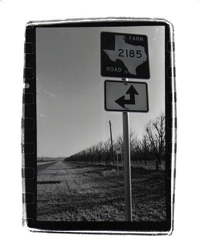
Farm Road 2185
Topographic Map of Lobo, TX, USA
Find elevation by address:

Places near Lobo, TX, USA:
Unnamed Road
Valentine
Jeff Davis County
209 Limpia Canyon Trail
Davis Mountains
301 Colleen Canyon Trail
203 Cochise Canyon Trail
Tejano Canyon Drive
Cross Trail
413 Squaw Valley Trail
High Lonesome Trail
426 Squaw Valley Trail
510 Squaw Valley Trail
510 Squaw Valley Trail
Presidio County
Shafter
Cibolo Creek Road
Blvrd Oscar Flores, Constitución, Ojinaga, Chih., Mexico
Constitución
517 Cassell St
Recent Searches:
- Elevation of Congressional Dr, Stevensville, MD, USA
- Elevation of Bellview Rd, McLean, VA, USA
- Elevation of Stage Island Rd, Chatham, MA, USA
- Elevation of Shibuya Scramble Crossing, 21 Udagawacho, Shibuya City, Tokyo -, Japan
- Elevation of Jadagoniai, Kaunas District Municipality, Lithuania
- Elevation of Pagonija rock, Kranto 7-oji g. 8"N, Kaunas, Lithuania
- Elevation of Co Rd 87, Jamestown, CO, USA
- Elevation of Tenjo, Cundinamarca, Colombia
- Elevation of Côte-des-Neiges, Montreal, QC H4A 3J6, Canada
- Elevation of Bobcat Dr, Helena, MT, USA