Elevation of Loblolly Bay Rd SW, LaBelle, FL, USA
Location: United States > Florida > Labelle >
Longitude: -81.498214
Latitude: 26.82806
Elevation: 14m / 46feet
Barometric Pressure: 101KPa
Elevation Map:
Satellite Map:
Related Photos:

Not my best side Dude!

An oak in all it's glory

Clouds and wildflowers

Another beautiful day

Morning in the greenbelt

Mallory Lykes Dimmitt

Mallory Lykes Dimmitt

CWard2012-07530.jpg
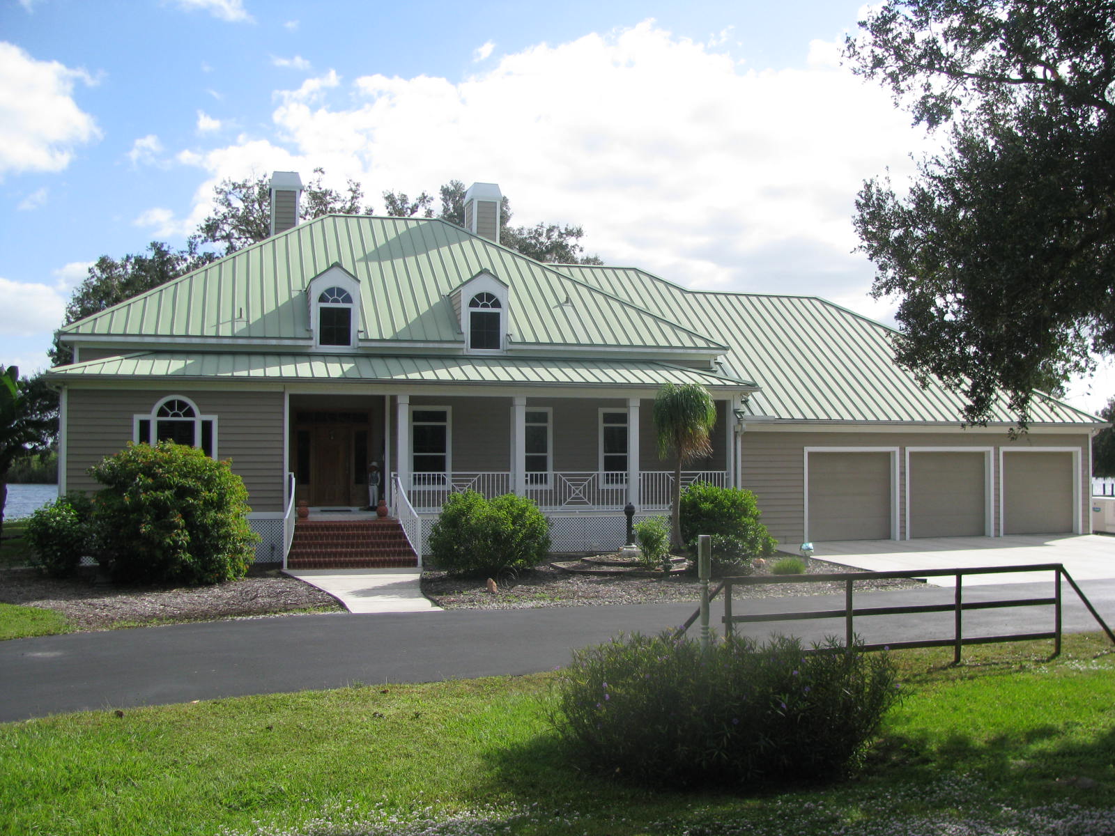
Florida,Alva, Riverfront Home
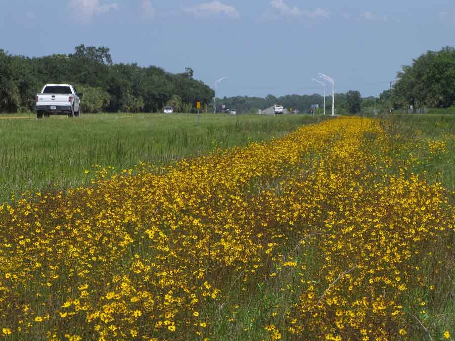
Coreopsis leavenworthii

Caloosahatchee River
Topographic Map of Loblolly Bay Rd SW, LaBelle, FL, USA
Find elevation by address:

Places near Loblolly Bay Rd SW, LaBelle, FL, USA:
1040 Shalimar Dr
4377 Loblolly Bay Rd Sw
1168 Red Rd
2414 Fernwood Ln
1191 Corner Oaks Rd
1191 Corner Oaks Rd
1306 Ash Rd Nw
Fort Denaud, FL, USA
Willow Lane
1254 Tuscarora Rd
1254 Tuscarora Rd
1364 Silver Way
3020 North River Rd
3020 North River Rd
3020 North River Rd
3020 North River Rd
3020 North River Rd
608 Elizabeth St
615 Kirby Thompson Rd
Magnolia Trce
Recent Searches:
- Elevation of Leguwa, Nepal
- Elevation of County Rd, Enterprise, AL, USA
- Elevation of Kolchuginsky District, Vladimir Oblast, Russia
- Elevation of Shustino, Vladimir Oblast, Russia
- Elevation of Lampiasi St, Sarasota, FL, USA
- Elevation of Elwyn Dr, Roanoke Rapids, NC, USA
- Elevation of Congressional Dr, Stevensville, MD, USA
- Elevation of Bellview Rd, McLean, VA, USA
- Elevation of Stage Island Rd, Chatham, MA, USA
- Elevation of Shibuya Scramble Crossing, 21 Udagawacho, Shibuya City, Tokyo -, Japan