Elevation of Lobachsville Rd, Oley, PA, USA
Location: United States > Pennsylvania > Berks County > Pike Township >
Longitude: -75.735313
Latitude: 40.409939
Elevation: 111m / 364feet
Barometric Pressure: 100KPa
Elevation Map:
Satellite Map:
Related Photos:

Lady's Eardrops

Marigold Petal Macro

Day Lilly bubble macro
Sleeping under the stars

Corn Flower

Gin and Bokeh with Lime

Morning Glow

Day Lilly Macro

Flooded Azalea

Source of enlightenment

Bullock's Oriole (trim)

Vivid Macrame Yarn

My View On The Way To Work

The hunt for red October

My View On The Way To Work
Bertolet Saw Mill - another view
Almost a full moon

The Orange and the Green
The view from the kidding stall

Fairview of Boyertown
Berks County, PA, from the Archives

Memories of Windows XP

Ice Coated Plant

Winter Garden

Last Rays of the Day #strava #stravaphotos #stravaproveit #sunset #tree #carouselapp

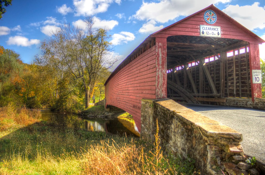
Griesemer's Mill Bridge over Manatawny Creek

IMG_9697.JPG
16E at Longswamp

wyo_kutztown-122.jpg
Griesemer's Mill Bridge over Manatawny Creek

Green Valley Abundance
#jaindl destruction begins #greed #noopenspace #lmt

Spring is on the Horizon #sunset #tree #wp #bpsphoto

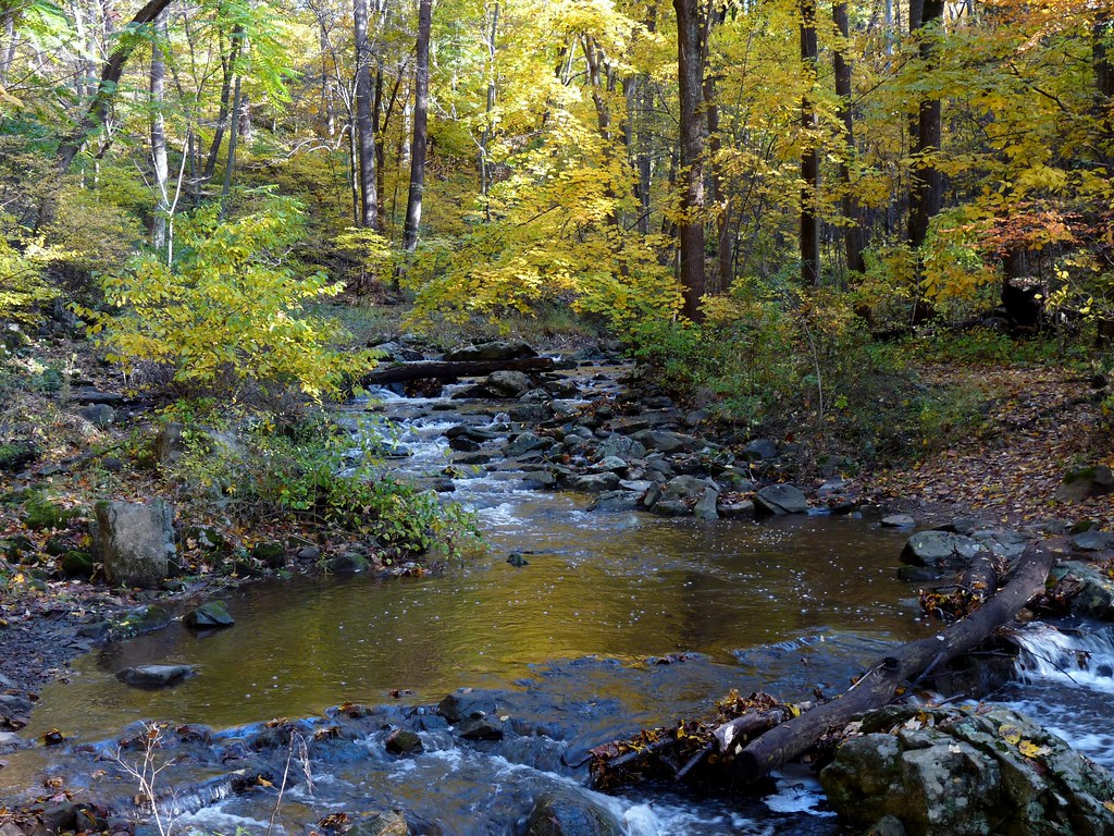
Ruth Zimmerman Natural Area (Autumn Visit) (3)
Antietam Creek

IMG_5505.JPG

#evening #ride #strava #imlp #ironmantraining
IMG_5498.JPG
IMG_5508.JPG
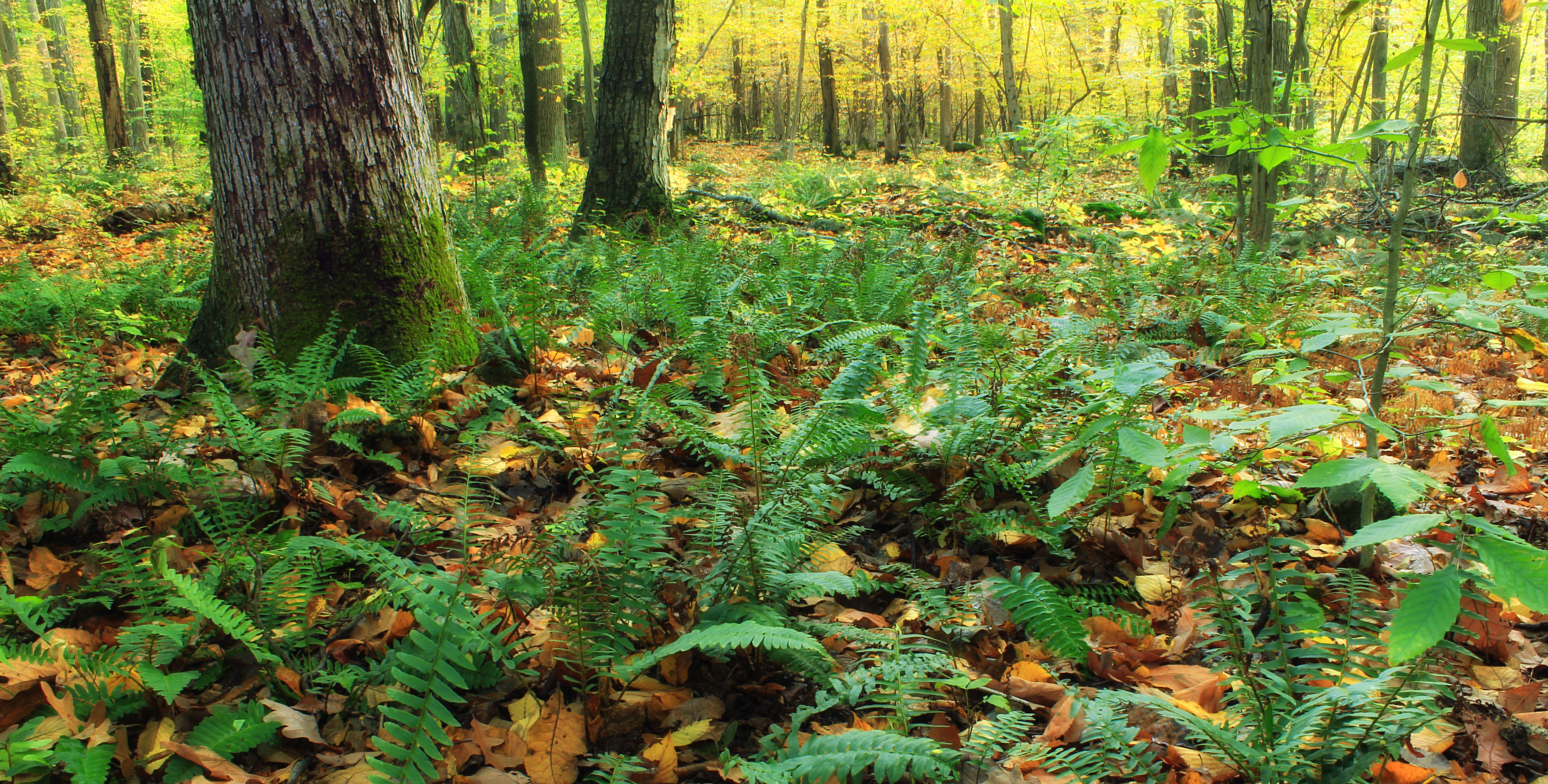
Ruth Zimmerman Natural Area (Autumn Visit) (4)

DSC02749.jpg
Griesemer's Mill Bridge over Manatawny Creek
Topographic Map of Lobachsville Rd, Oley, PA, USA
Find elevation by address:

Places near Lobachsville Rd, Oley, PA, USA:
136 Deysher Rd
31 Heiligs School Rd
Pike Township
14 Sheep Hill Rd
38 Highland Dr
80 Hartline Rd
17 Jefferson St
322 Water St
Merkel Road
Oley Township
3 Wards Way
3 Wards Way
Oley Turnpike Rd, Oley, PA, USA
Main St, Oley, PA, USA
Oley
67 Woodchoppertown Rd, Boyertown, PA, USA
12 Leffel Ln
56 Woodchoppertown Rd
Hill Church Road
Hill Church Road
Recent Searches:
- Elevation of Spaceport America, Co Rd A, Truth or Consequences, NM, USA
- Elevation of Warwick, RI, USA
- Elevation of Fern Rd, Whitmore, CA, USA
- Elevation of 62 Abbey St, Marshfield, MA, USA
- Elevation of Fernwood, Bradenton, FL, USA
- Elevation of Felindre, Swansea SA5 7LU, UK
- Elevation of Leyte Industrial Development Estate, Isabel, Leyte, Philippines
- Elevation of W Granada St, Tampa, FL, USA
- Elevation of Pykes Down, Ivybridge PL21 0BY, UK
- Elevation of Jalan Senandin, Lutong, Miri, Sarawak, Malaysia