Elevation map of Llamuqa, Peru
Location: Peru > Arequipa > La Unión Province >
Longitude: -72.837031
Latitude: -15.089122
Elevation: 4395m / 14419feet
Barometric Pressure: 59KPa
Elevation Map:
Satellite Map:
Related Photos:

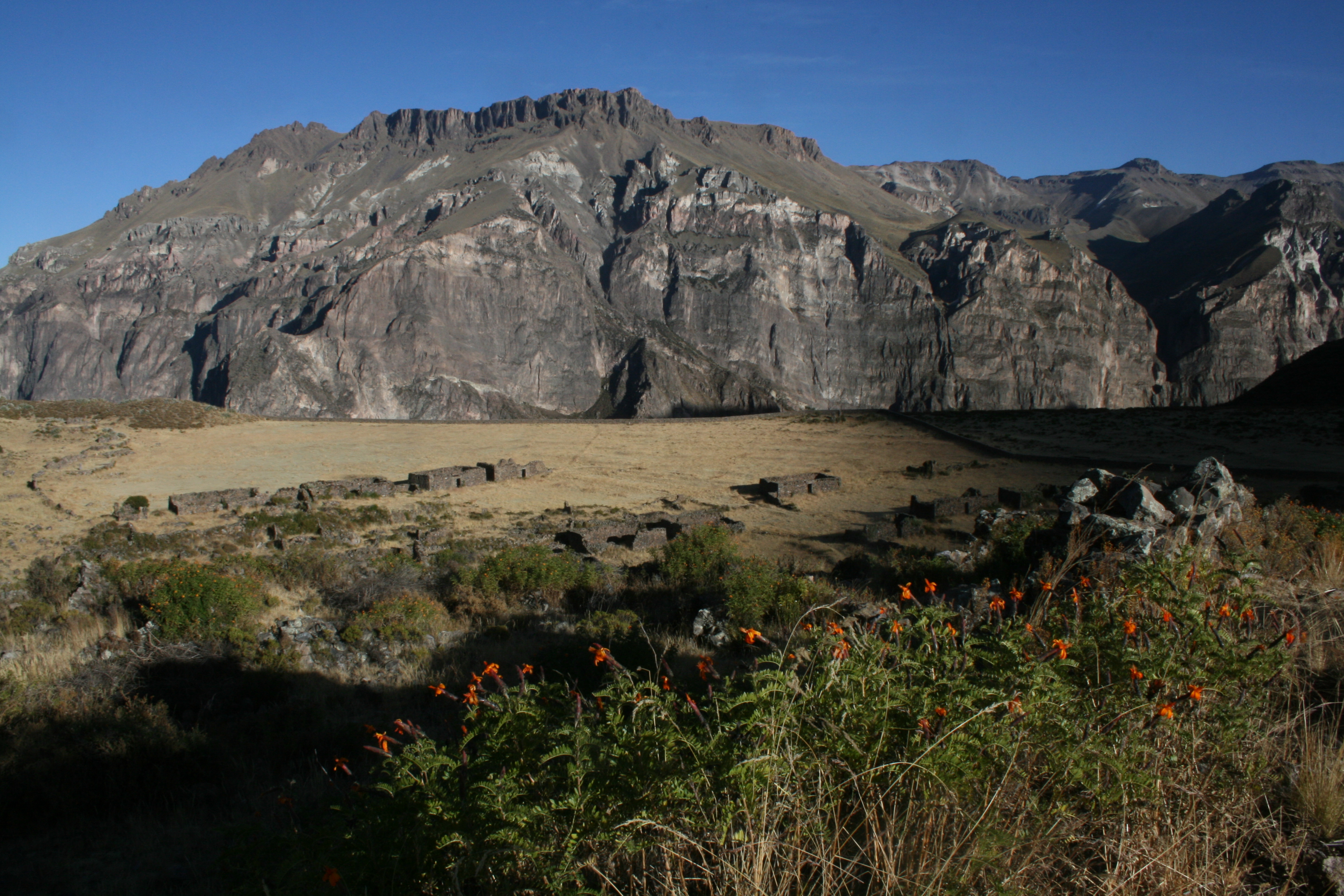
2014-11-08 12.42.38

2014-11-08 12.20.01

2014-11-06 06.45.14

2014-11-08 12.38.38

2014-11-06 06.48.29

2014-11-08 17.15.52

2014-11-08 12.09.40
Misterios antiguos

2014-11-08 12.36.20

2014-11-06 06.45.17

2014-11-08 12.21.13

2014-11-06 06.02.15

2014-11-08 12.42.09

2014-11-08 12.19.55

2014-11-08 12.40.26

2014-11-08 12.24.59

2014-11-08 13.03.07
Topographic Map of Llamuqa, Peru
Find elevation by address:

Places near Llamuqa, Peru:
La Unión Province
Janq'u Q'awa
Qullpa K'uchu
Waylla T'arphuna
Ch'ila
Q'illa Q'illa
Chumbivilcas Province
Constancia Mine
Recent Searches:
- Elevation of Corso Fratelli Cairoli, 35, Macerata MC, Italy
- Elevation of Tallevast Rd, Sarasota, FL, USA
- Elevation of 4th St E, Sonoma, CA, USA
- Elevation of Black Hollow Rd, Pennsdale, PA, USA
- Elevation of Oakland Ave, Williamsport, PA, USA
- Elevation of Pedrógão Grande, Portugal
- Elevation of Klee Dr, Martinsburg, WV, USA
- Elevation of Via Roma, Pieranica CR, Italy
- Elevation of Tavkvetili Mountain, Georgia
- Elevation of Hartfords Bluff Cir, Mt Pleasant, SC, USA