Elevation map of Liwale, Tanzania
Location: Tanzania > Lindi Region >
Longitude: 37.6386622
Latitude: -9.9071825
Elevation: 837m / 2746feet
Barometric Pressure: 92KPa
Elevation Map:
Satellite Map:
Related Photos:
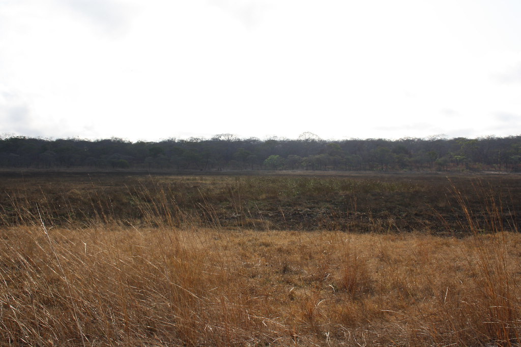
Majuni Pond, 14 August
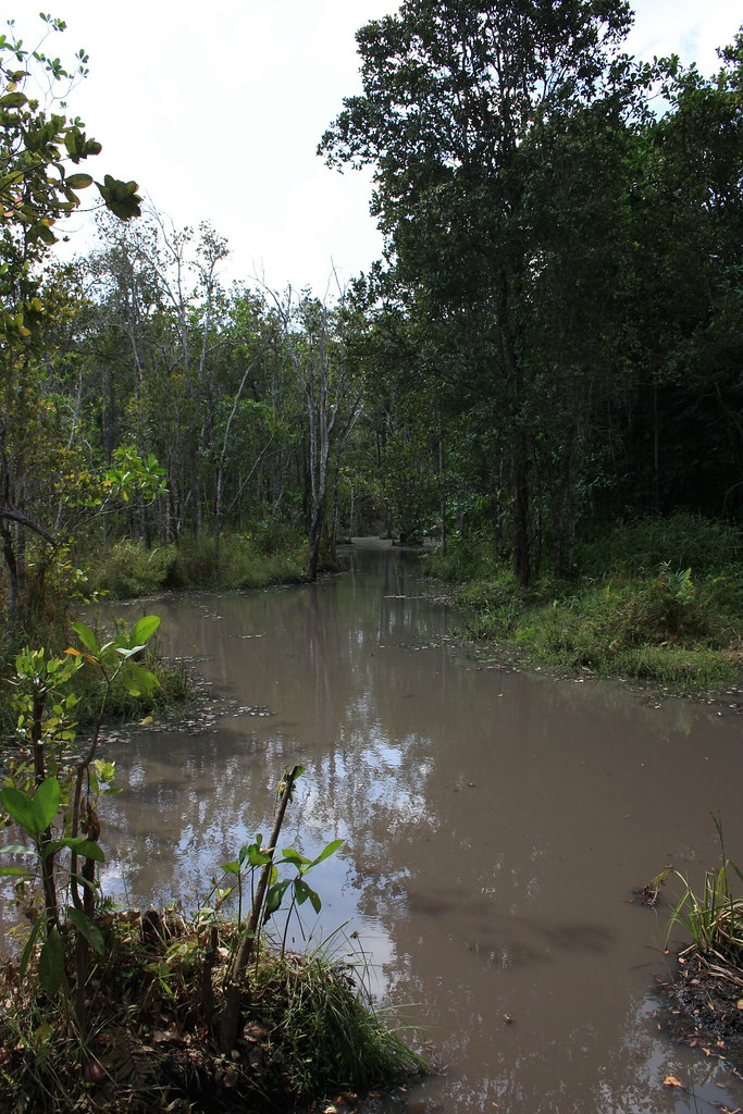
Nakawale River
Topographic Map of Liwale, Tanzania
Find elevation by address:

Places in Liwale, Tanzania:
Places near Liwale, Tanzania:
Recent Searches:
- Elevation of Tenjo, Cundinamarca, Colombia
- Elevation of Côte-des-Neiges, Montreal, QC H4A 3J6, Canada
- Elevation of Bobcat Dr, Helena, MT, USA
- Elevation of Zu den Ihlowbergen, Althüttendorf, Germany
- Elevation of Badaber, Peshawar, Khyber Pakhtunkhwa, Pakistan
- Elevation of SE Heron Loop, Lincoln City, OR, USA
- Elevation of Slanický ostrov, 01 Námestovo, Slovakia
- Elevation of Spaceport America, Co Rd A, Truth or Consequences, NM, USA
- Elevation of Warwick, RI, USA
- Elevation of Fern Rd, Whitmore, CA, USA