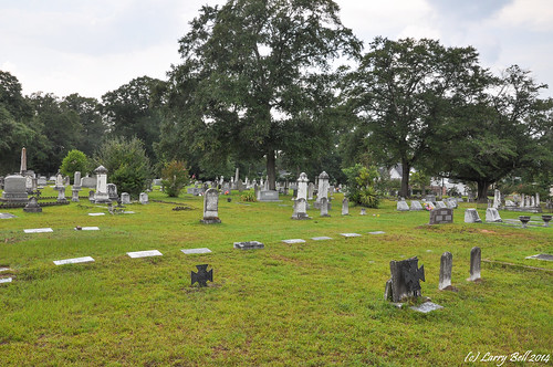
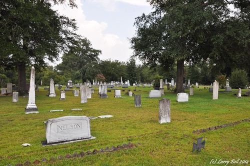
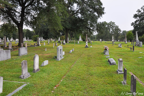
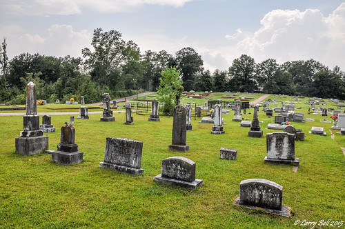
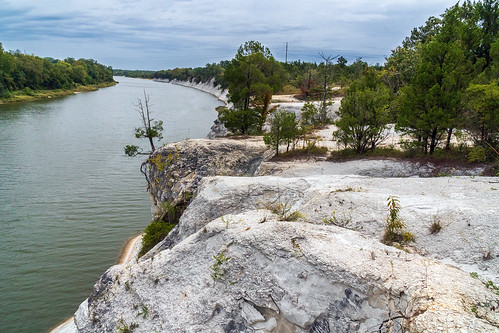
Elevation of Livingston City Hall, Church St, Main St, Livingston, AL, USA
Location: United States > Alabama > Sumter County > Livingston >
Longitude: -88.185153
Latitude: 32.5808818
Elevation: 41m / 135feet
Barometric Pressure: 101KPa
Related Photos:
Topographic Map of Livingston City Hall, Church St, Main St, Livingston, AL, USA
Find elevation by address:

Places near Livingston City Hall, Church St, Main St, Livingston, AL, USA:
201 Church St
Livingston
202 Daryle St
Sumter County
Co Rd 22, Livingston, AL, USA
Lilita Rd, Livingston, AL, USA
Walnut St, Bellamy, AL, USA
Emerald Ln, Boligee, AL, USA
Bellamy
York
AL-28, Livingston, AL, USA
Co Rd 20, Emelle, AL, USA
Emelle
450 Benn Kidd Rd
Co Rd 27, Cuba, AL, USA
Co Rd 72, Boligee, AL, USA
Boligee
30 Quarter Ln, York, AL, USA
Ward
Cuba
Recent Searches:
- Elevation of Elwyn Dr, Roanoke Rapids, NC, USA
- Elevation of Congressional Dr, Stevensville, MD, USA
- Elevation of Bellview Rd, McLean, VA, USA
- Elevation of Stage Island Rd, Chatham, MA, USA
- Elevation of Shibuya Scramble Crossing, 21 Udagawacho, Shibuya City, Tokyo -, Japan
- Elevation of Jadagoniai, Kaunas District Municipality, Lithuania
- Elevation of Pagonija rock, Kranto 7-oji g. 8"N, Kaunas, Lithuania
- Elevation of Co Rd 87, Jamestown, CO, USA
- Elevation of Tenjo, Cundinamarca, Colombia
- Elevation of Côte-des-Neiges, Montreal, QC H4A 3J6, Canada


