Elevation of Live Oak Way, Belmont, CA, USA
Location: United States > California > San Mateo County > Belmont >
Longitude: -122.30125
Latitude: 37.5084169
Elevation: 66m / 217feet
Barometric Pressure: 101KPa
Elevation Map:
Satellite Map:
Related Photos:

It Pays to be a 'Morning Person'
Road C, view back towards intersection with road D.
View east down Road F just east of intersection with trail 15.

Egret Strut
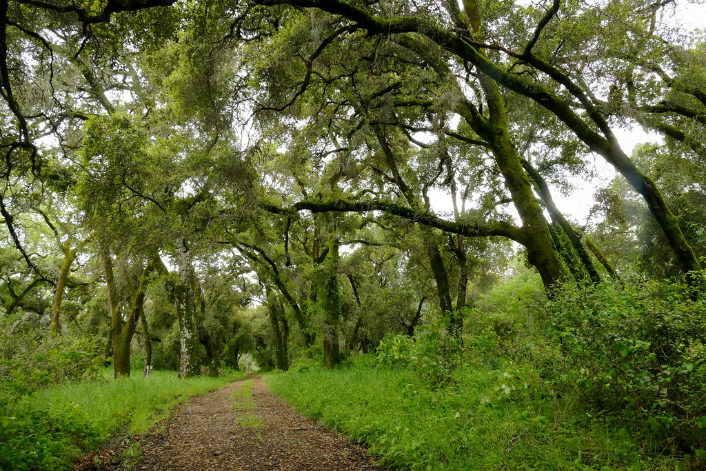
Road C

Life is Beautiful

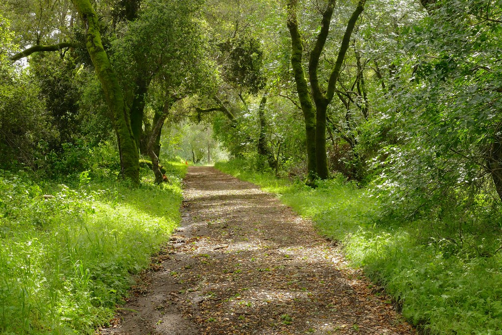
If Trees Could Talk

Power Meets Power
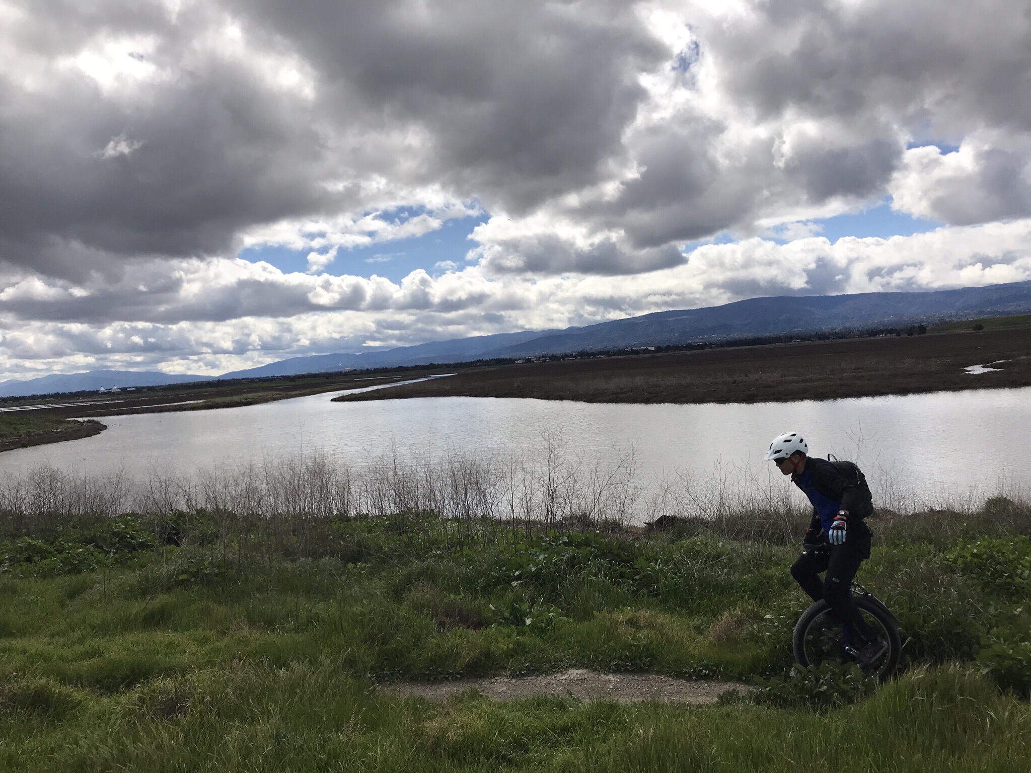
Off pavement unicycle ride

California Coastal Fog (explored)

Closing Time
Having an epiphany at the Epiphany

folds of oblivion

Sun Burn

I smell the first rain

Cloud's Rest

Early Morning Storm Surge

The Feather Trees of Planet Skeggs

Church Tomorrow

Fall Colors

Message in a bottle
Lasthenia sp., GOLDFIELDS

Almost home

Sunrise over Mount Diablo and San Francisco Bay - Millbrae California

san andreas

DSC00963.JPG

Blues and Yellows

my favorite lone tree | cañada rd

Trees and Rays

I wonder
Redondo Bluffs

Upside down

Every Dog Has It's Day

#280 #road #bluesky #california

Skyline Boulevard

#Batanes, #Philippines #Stonehouse ver. 2.0.

Worth the 90-min, 45-degree climb uphill.

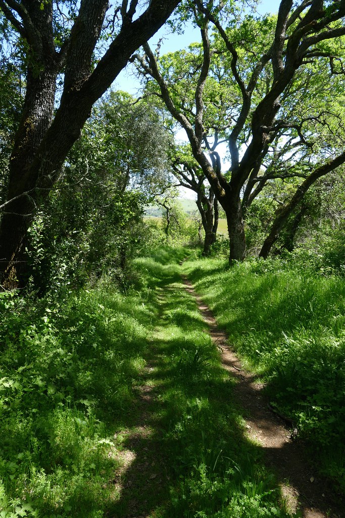
Take a Stroll
IMG_20170311_123526-PANO
Topographic Map of Live Oak Way, Belmont, CA, USA
Find elevation by address:

Places near Live Oak Way, Belmont, CA, USA:
2400 Carlmont Dr
1200 Continentals Way
Crystal Springs Cross Country Course
2528 Buena Vista Ave
2424 Lincoln Ave
2716 Newlands Ave
Dekoven Avenue
2720 Newlands Ave
2506 Dekoven Ave
2722 Barclay Way
2120 Forest Ave
2533 Lincoln Ave
2600 Lincoln Ave
3215 Upper Lock Ave
Upper Lock Avenue
2741 Comstock Cir
340 42nd Ave
Sugarloaf
13 Meadow Park Cir
3011 St James Rd
Recent Searches:
- Elevation of Hercules Dr, Colorado Springs, CO, USA
- Elevation of Szlak pieszy czarny, Poland
- Elevation of Griffing Blvd, Biscayne Park, FL, USA
- Elevation of Kreuzburger Weg 13, Düsseldorf, Germany
- Elevation of Gateway Blvd SE, Canton, OH, USA
- Elevation of East W.T. Harris Boulevard, E W.T. Harris Blvd, Charlotte, NC, USA
- Elevation of West Sugar Creek, Charlotte, NC, USA
- Elevation of Wayland, NY, USA
- Elevation of Steadfast Ct, Daphne, AL, USA
- Elevation of Lagasgasan, X+CQH, Tiaong, Quezon, Philippines