Elevation of Live Oak Dr, Little River, SC, USA
Location: United States > South Carolina > Horry County > Little River >
Longitude: -78.59497
Latitude: 33.878476
Elevation: 11m / 36feet
Barometric Pressure: 101KPa
Elevation Map:
Satellite Map:
Related Photos:

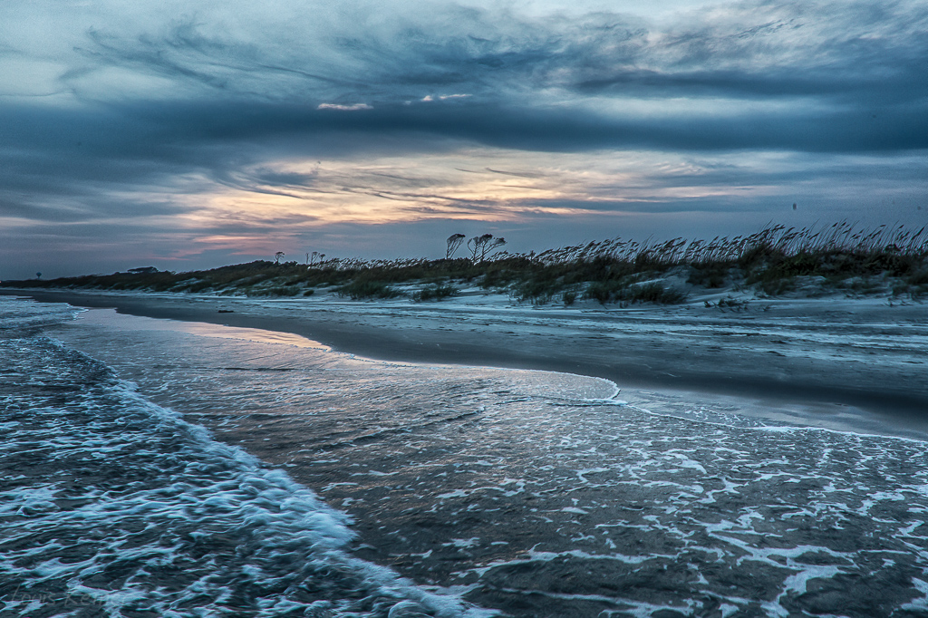
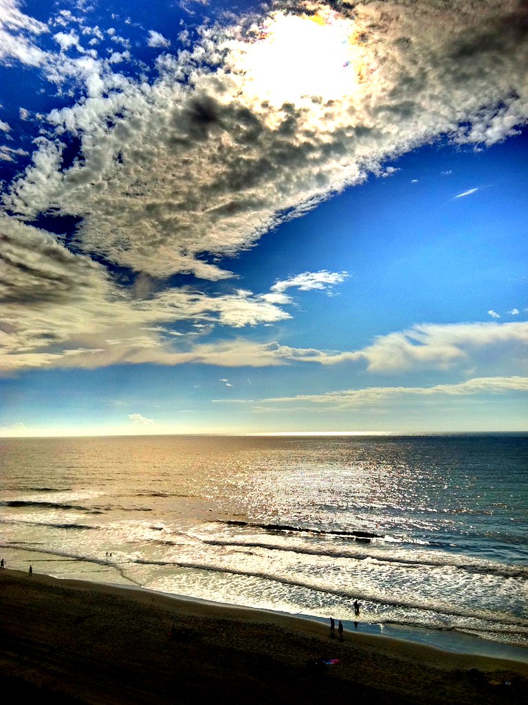
A wave crashes along the NC/SC boundary
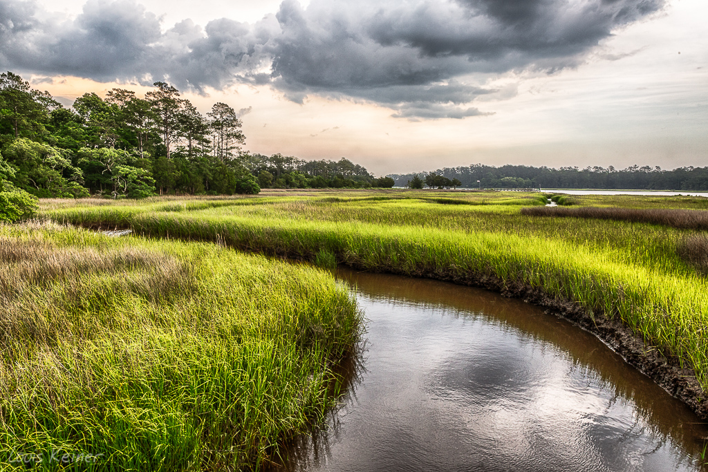
Day 901 - Sunset Over The Marsh
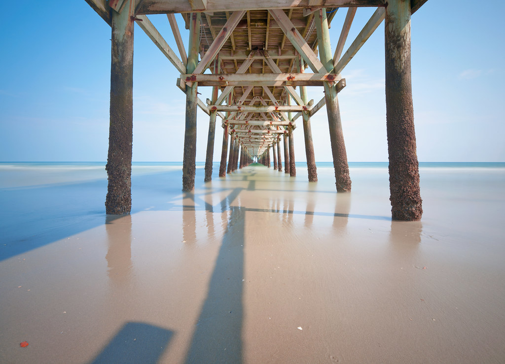
Morning at the Pier

Give Me Silver, Blue and Gold
LK_20170408_0170_HDR-sm

Cherry Grove Fishing Pier

Just before sunrise at the beach ????????

Beach gallery-1
Life on Mars #oceanislebeach #lowtide #2012 #photooftheday #bestoftheday #igersnc #northcarolina

Under the Pier
LK_20140605_0035_HDR-sm
Cherry Grove Pier
LK_20140727_0101_HDR-sm
Coquina Harbor

"Super" moon on May 5, 2012

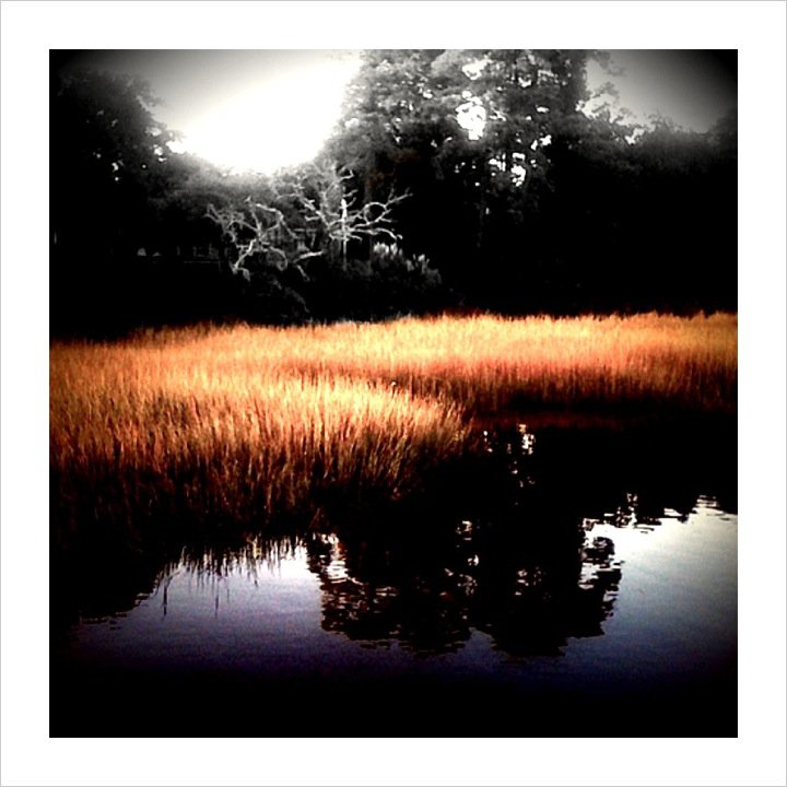
...And The Sun That Lights The Day
Looking North @NMB
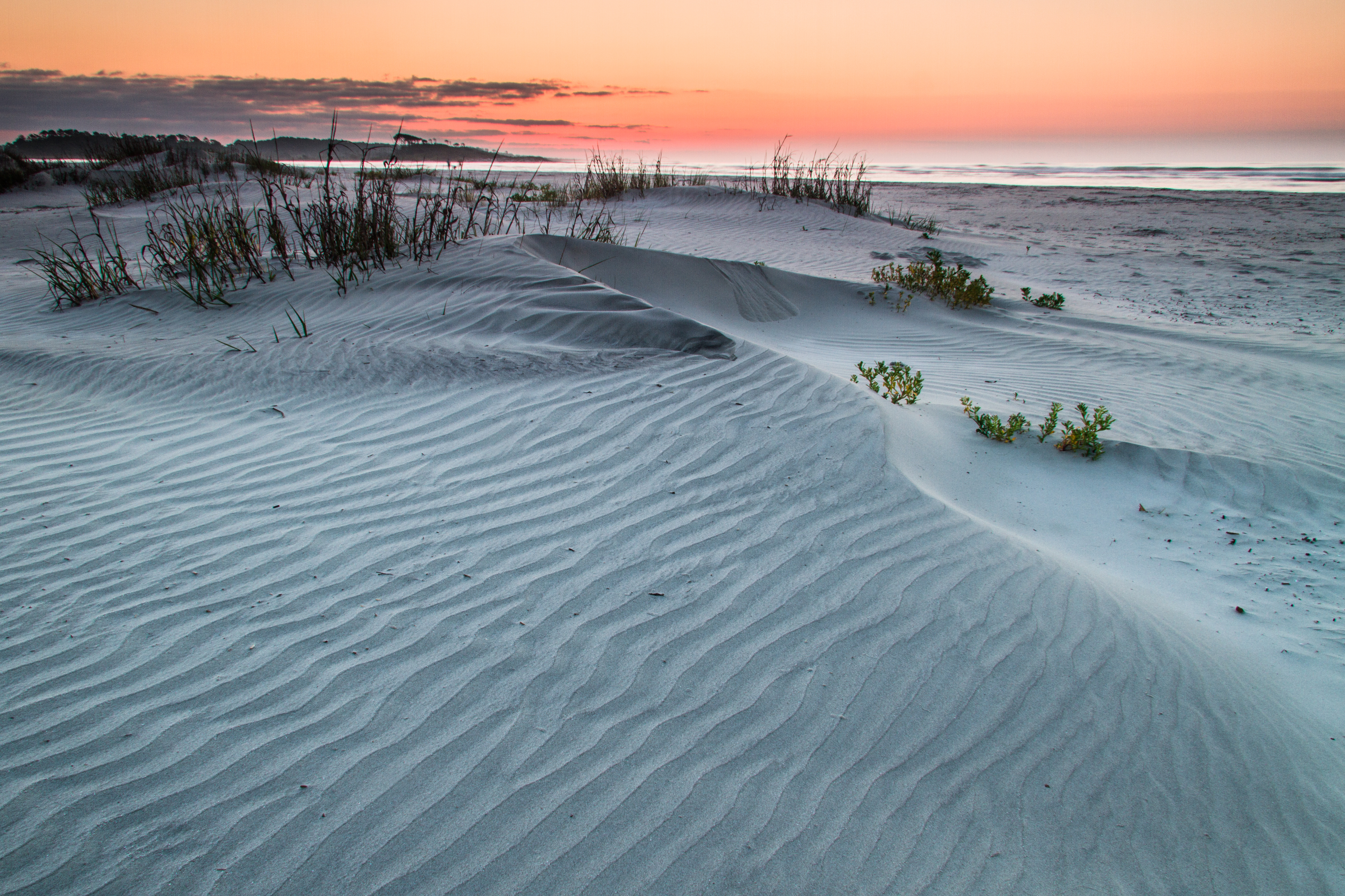
ripples-1
Beachcombing 265/365

LK_20140605_0040_HDR-sm

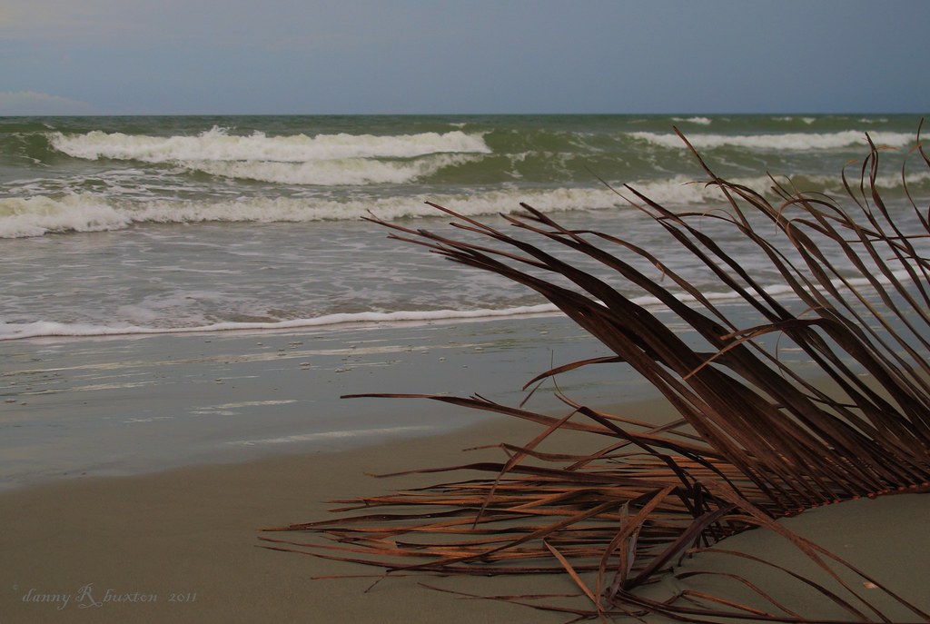
Ocean Isle Beach, North Carolina, June 2011
Topographic Map of Live Oak Dr, Little River, SC, USA
Find elevation by address:

Places near Live Oak Dr, Little River, SC, USA:
4405 Live Oak Dr
2130 Brunswick Cir
2125 Lafayette Cir
2120 Brunswick Cir
2112 Georgetown Cir
2138 Georgetown Cir
2112 Brunswick Cir
2132 Lexington Cir
2284 Vereen Cir
2131 Lexington Cir
2134 Lexington Cir
2207 Franklin Cir
2276 Vereen Cir
2198 Plantation Cir
2242 Vereen Cir
2264 Big Landing Dr
2240 Big Landing Dr
Scotch Broom Drive
2248 Big Landing Dr
150 Scotch Broom Dr
Recent Searches:
- Elevation of Gateway Blvd SE, Canton, OH, USA
- Elevation of East W.T. Harris Boulevard, E W.T. Harris Blvd, Charlotte, NC, USA
- Elevation of West Sugar Creek, Charlotte, NC, USA
- Elevation of Wayland, NY, USA
- Elevation of Steadfast Ct, Daphne, AL, USA
- Elevation of Lagasgasan, X+CQH, Tiaong, Quezon, Philippines
- Elevation of Rojo Ct, Atascadero, CA, USA
- Elevation of Flagstaff Drive, Flagstaff Dr, North Carolina, USA
- Elevation of Avery Ln, Lakeland, FL, USA
- Elevation of Woolwine, VA, USA