Elevation of Little Narrows Rd, Little Narrows, NS B0E 1T0, Canada
Location: Canada > Nova Scotia > Victoria County > Victoria, Subd. B > Little Narrows >
Longitude: -60.916126
Latitude: 46.016883
Elevation: 16m / 52feet
Barometric Pressure: 101KPa
Elevation Map:
Satellite Map:
Related Photos:
Baddeck ,Nova Scotia #2
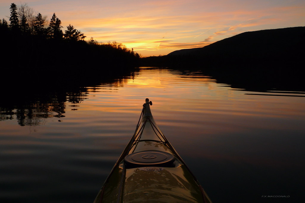
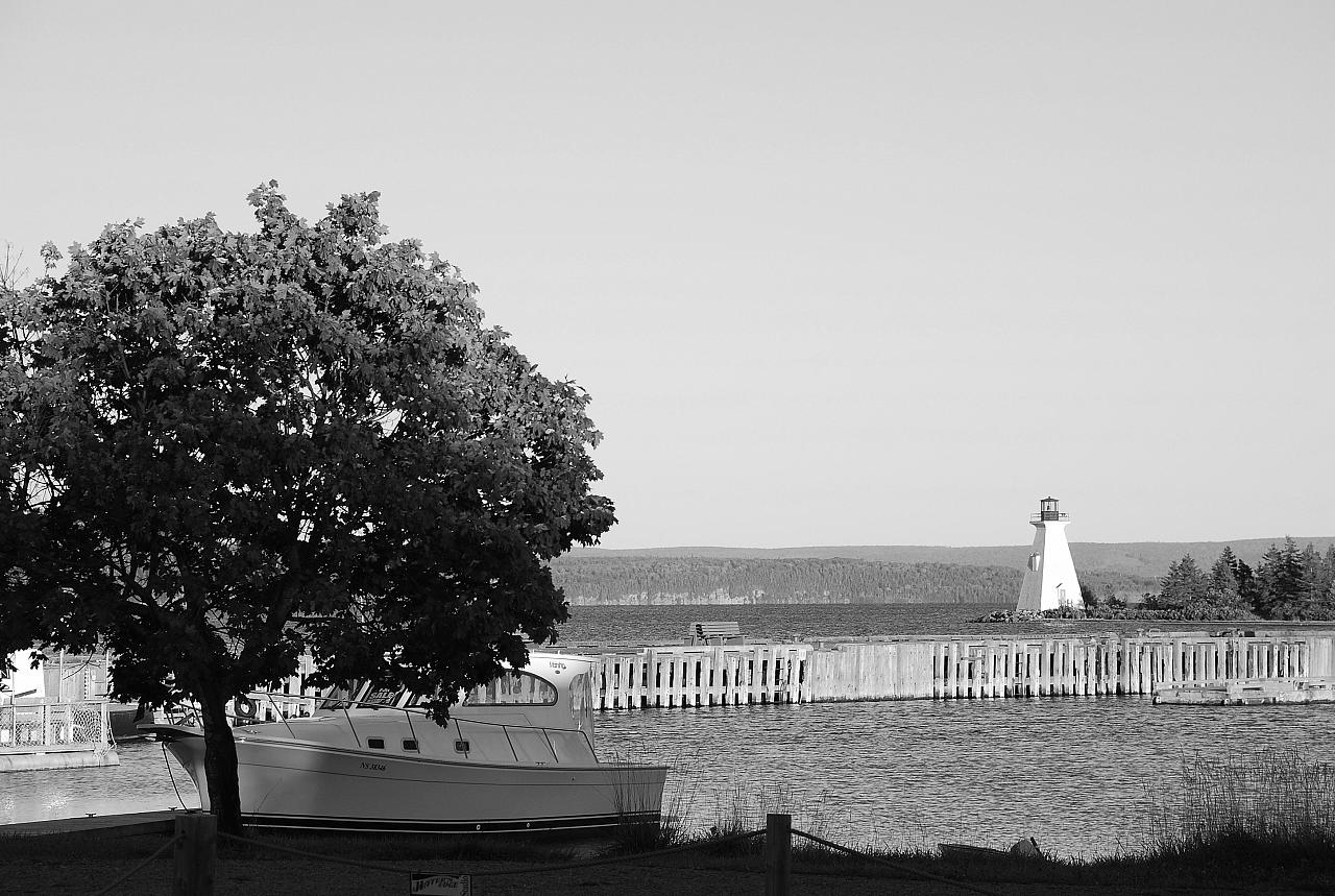
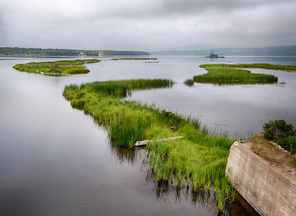
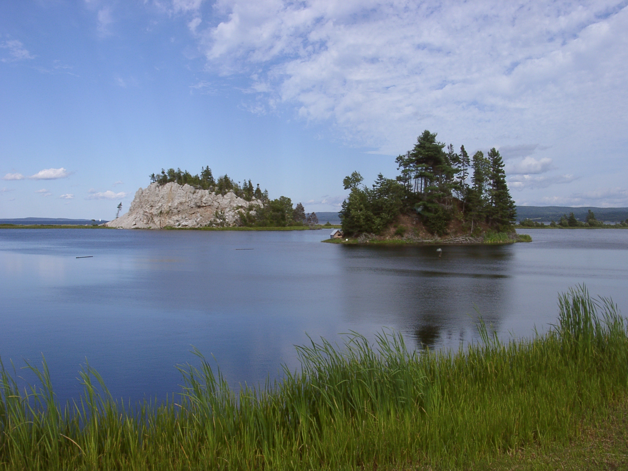
Little Narrows , Cape Breton, N.S. kayak trip # 9
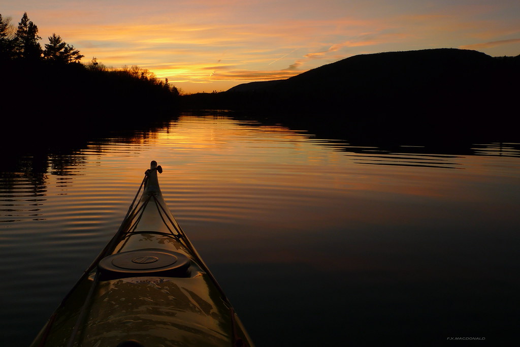
Little Narrows , Cape Breton, N.S. kayak trip # 10
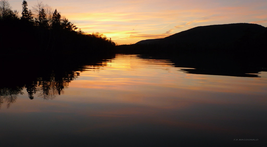
Little Narrows , Cape Breton, N.S. kayak trip # 8

The view from Bell View Suites B&B
Romantic?
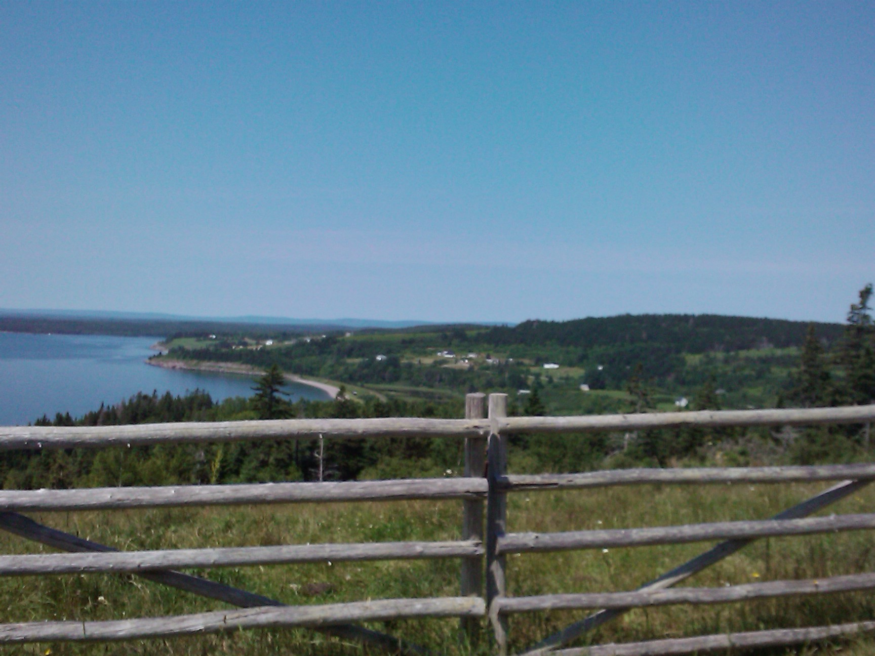
Not a bad view for cattle
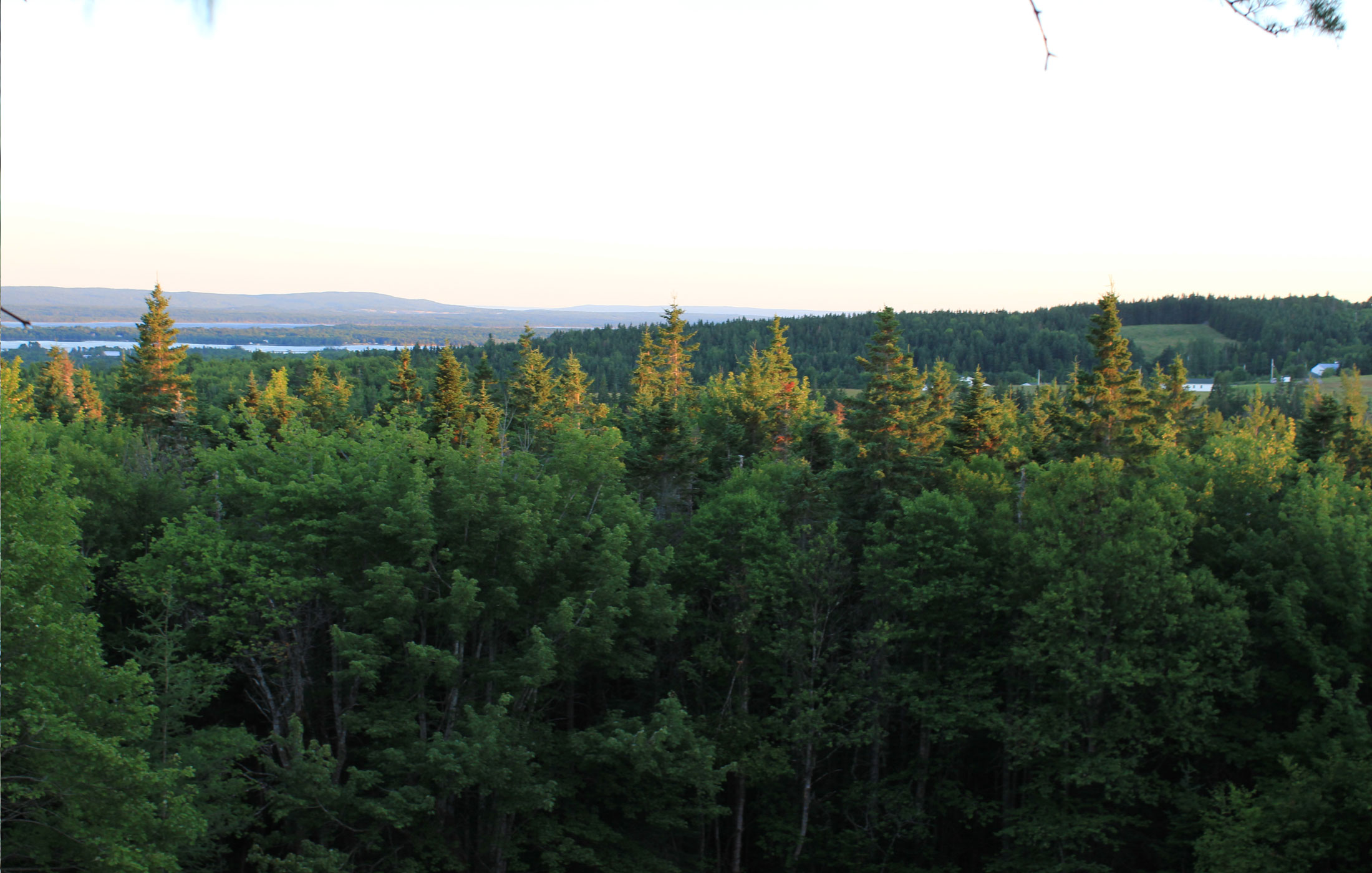
tree-canopy-view
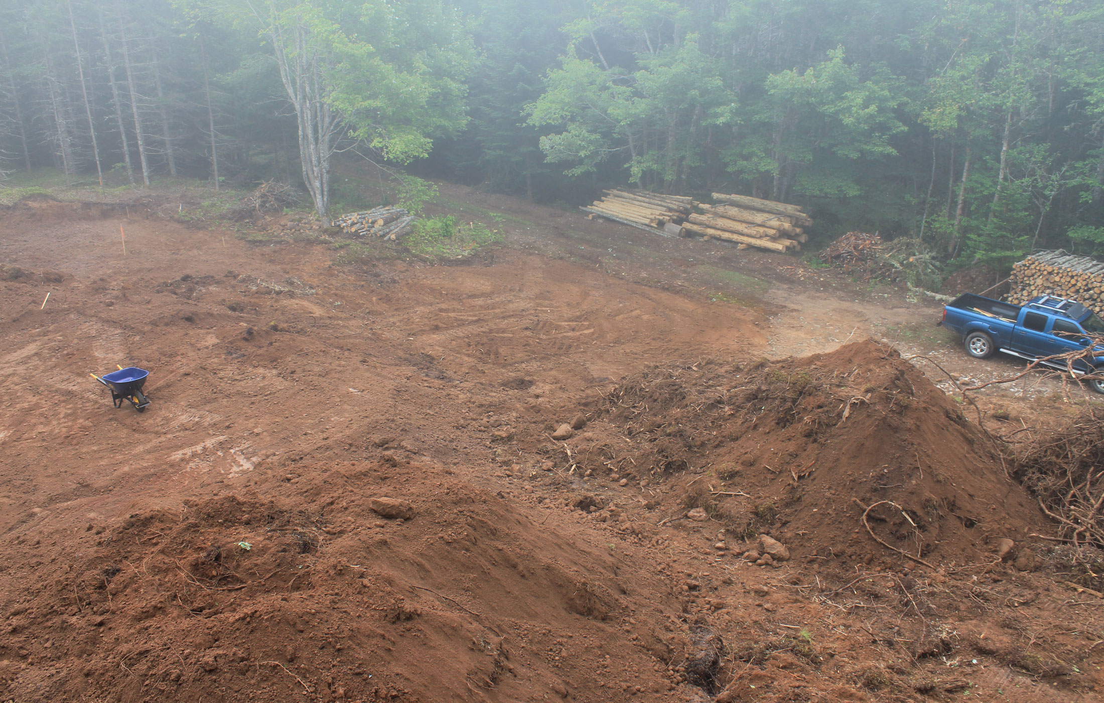
view from atop the root pile
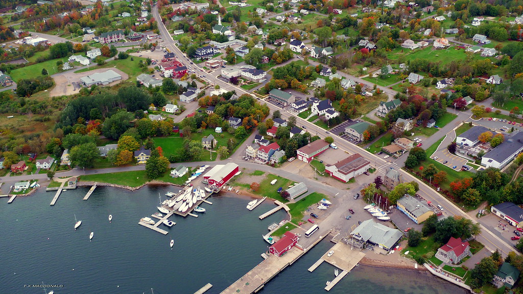
ariel-view
6th Hole, The Lakes at Ben Eoin
Lewis Mountain Stream

Winding Road - HDR
Gairloch Mountain Falls
Baddeck River, Nova Scotia

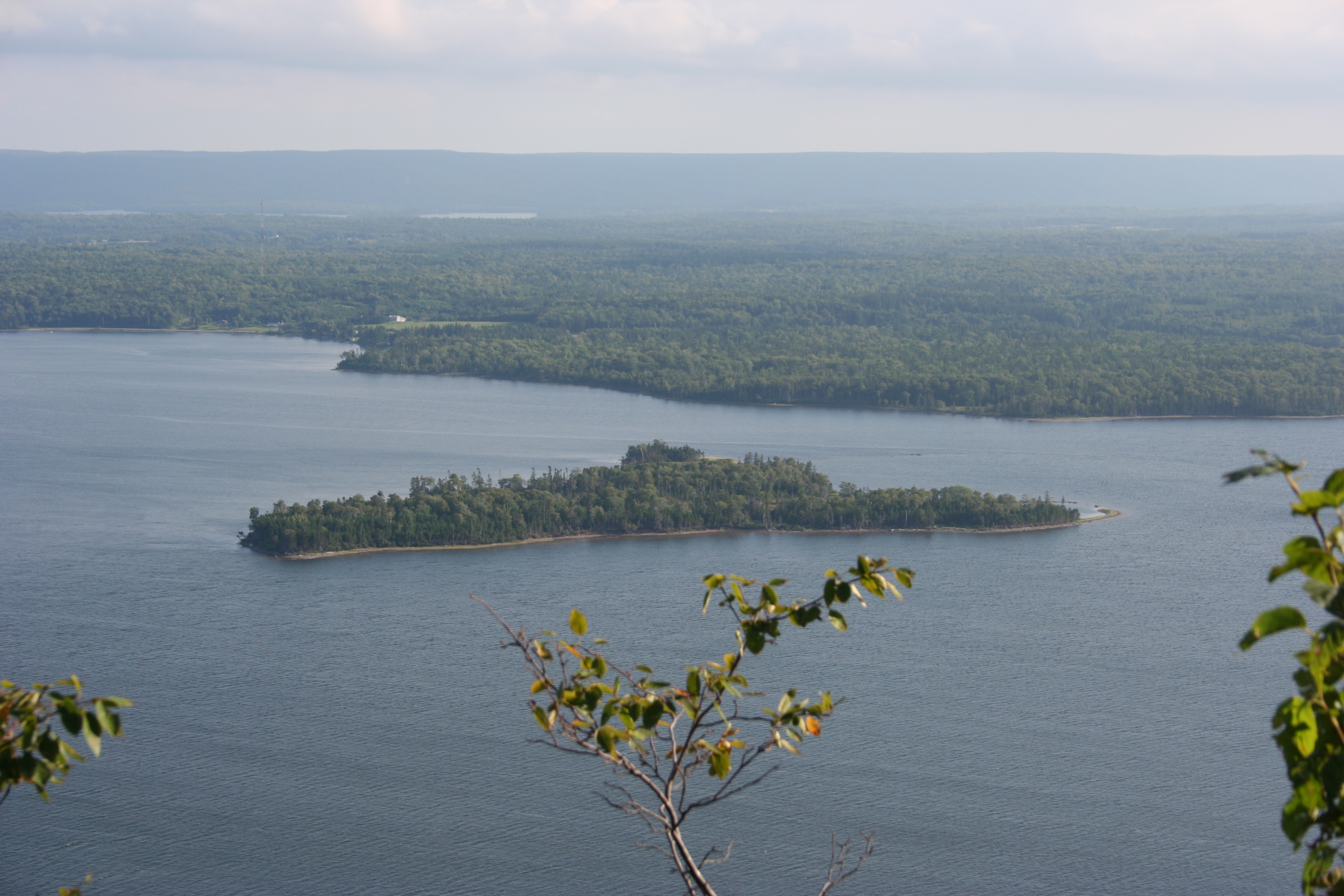
Pano at Grand Narrows
Come to life ~

macintyres sunset barn

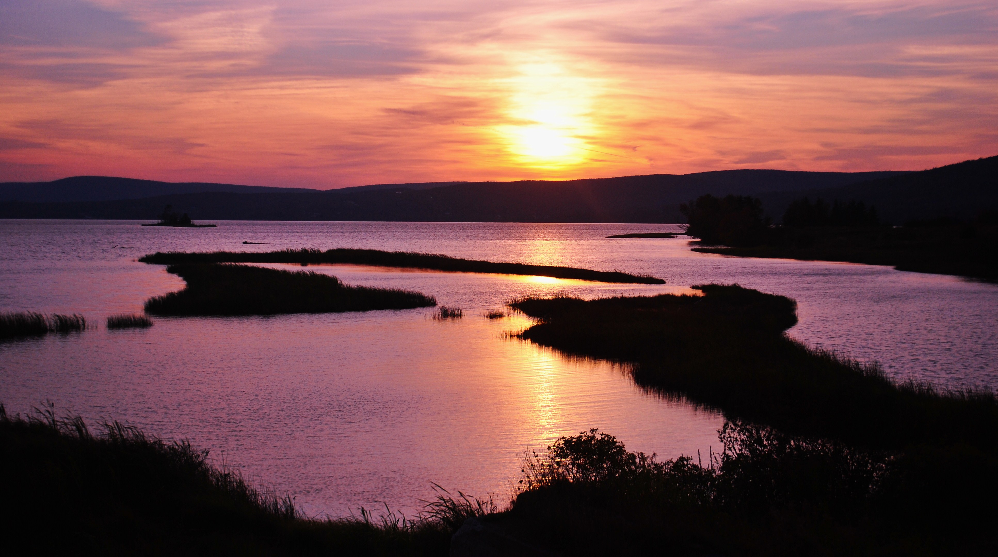
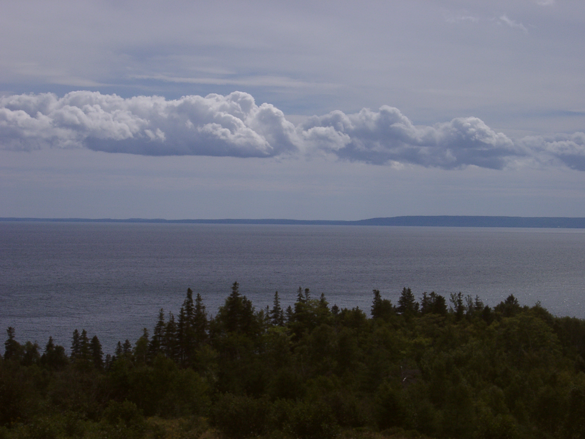
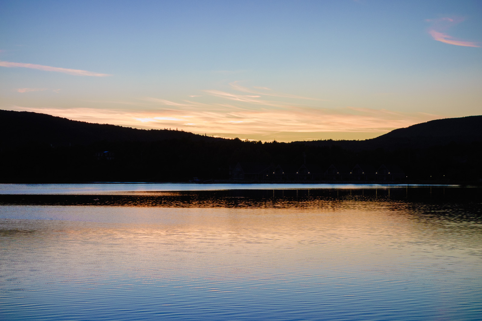
Bras d'Or Lake

Sunset in Whycocomagh
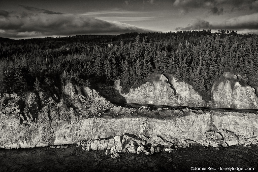
Train tracks, cliff, Bras d'Or

Bras d'Or Lake

Highland Village, Cape Breton
this-will-be-our-drive

Highland Village, Cape Breton
Plaster Cove
Jamesville West
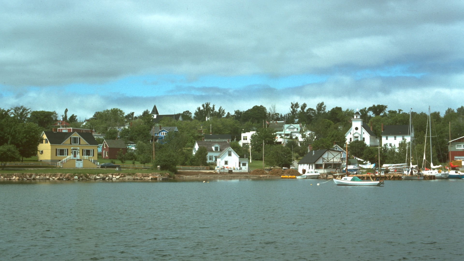
Baddeck, Nova Scotia
Sheep Island
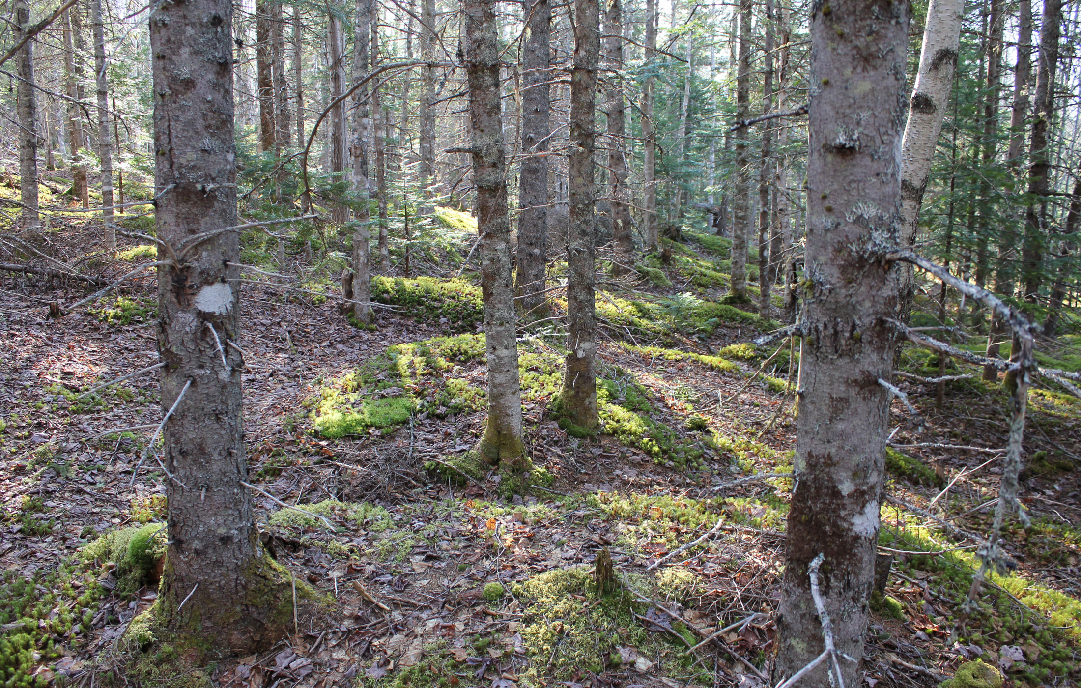
our-forest
130906-184815.jpg

Buckwheat Corner
Topographic Map of Little Narrows Rd, Little Narrows, NS B0E 1T0, Canada
Find elevation by address:

Places near Little Narrows Rd, Little Narrows, NS B0E 1T0, Canada:
St Columba Rd, Little Narrows, NS B0E 1T0, Canada
Bucklaw
Highland Hill
Little Narrows
12 Barra Glen Rd, Highland Hill, NS B2C 1G2, Canada
Barra Glen Rd, Barra Glen, NS B2C 1E2, Canada
Barra Glen
Rear Estmere Rd, Little Narrows, NS B0E 1T0, Canada
1330 Barra Glen Rd
Big Harbour Island Rd, River Denys, NS B0E 2Y0, Canada
Allans Point Road
Salt Mountain Trail
Orangedale Iona Rd, Orangedale, NS B0E 2K0, Canada
NS-, Whycocomagh, NS B0E 3M0, Canada
Nova Scotia 395
Nova Scotia 395
Whycocomagh
Orangedale
B0e 3m0
NS-, Whycocomagh, NS B0E 3M0, Canada
Recent Searches:
- Elevation of Congressional Dr, Stevensville, MD, USA
- Elevation of Bellview Rd, McLean, VA, USA
- Elevation of Stage Island Rd, Chatham, MA, USA
- Elevation of Shibuya Scramble Crossing, 21 Udagawacho, Shibuya City, Tokyo -, Japan
- Elevation of Jadagoniai, Kaunas District Municipality, Lithuania
- Elevation of Pagonija rock, Kranto 7-oji g. 8"N, Kaunas, Lithuania
- Elevation of Co Rd 87, Jamestown, CO, USA
- Elevation of Tenjo, Cundinamarca, Colombia
- Elevation of Côte-des-Neiges, Montreal, QC H4A 3J6, Canada
- Elevation of Bobcat Dr, Helena, MT, USA