Elevation of Lisenser Spitze, Austria
Location: Austria > Tyrol > Innsbruck-land District > Gemeinde Sankt Sigmund Im Sellrain > Sankt Sigmund Im Sellrain >
Longitude: 11.1
Latitude: 47.083333
Elevation: 2730m / 8957feet
Barometric Pressure: 73KPa
Elevation Map:
Satellite Map:
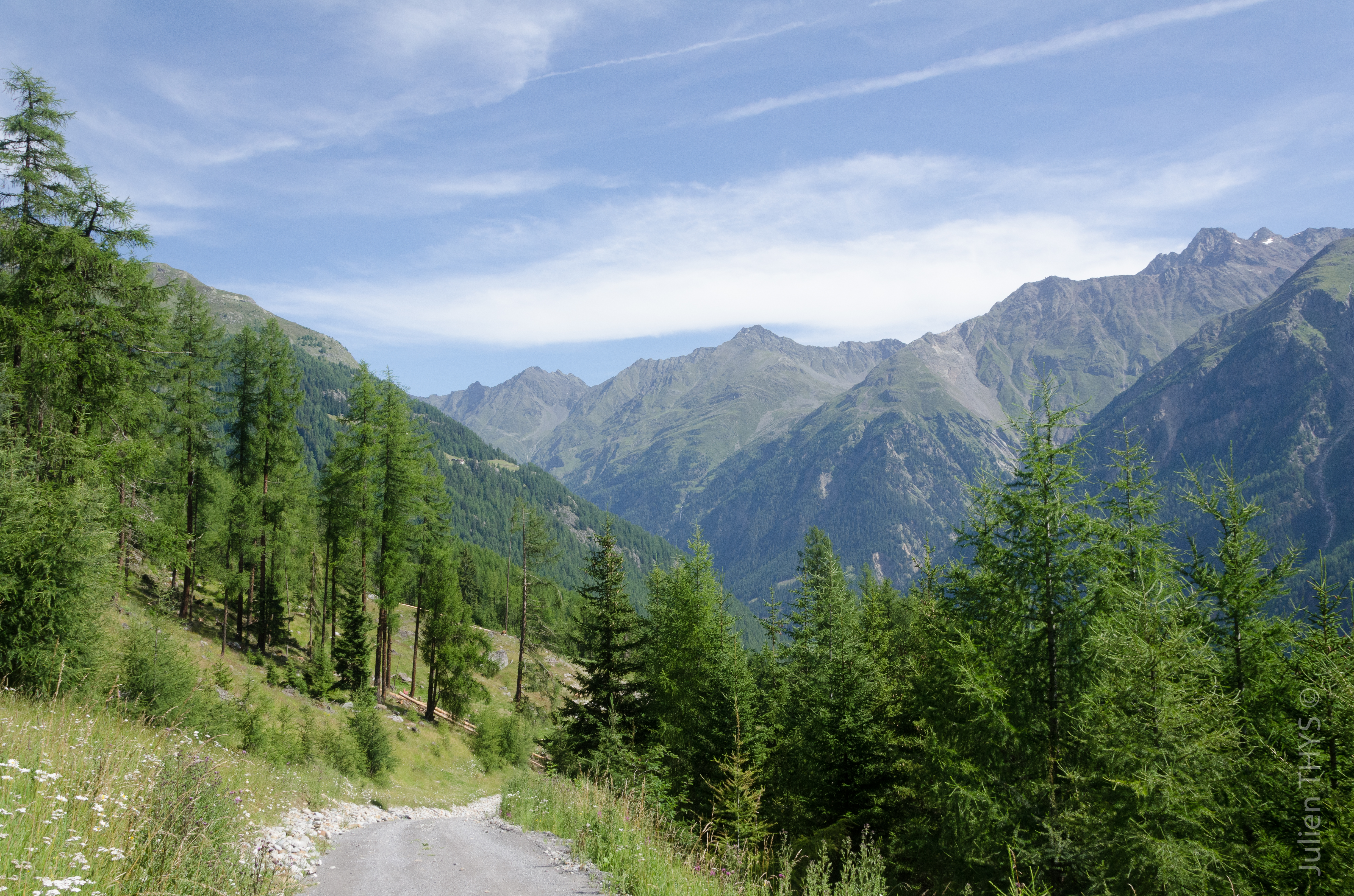
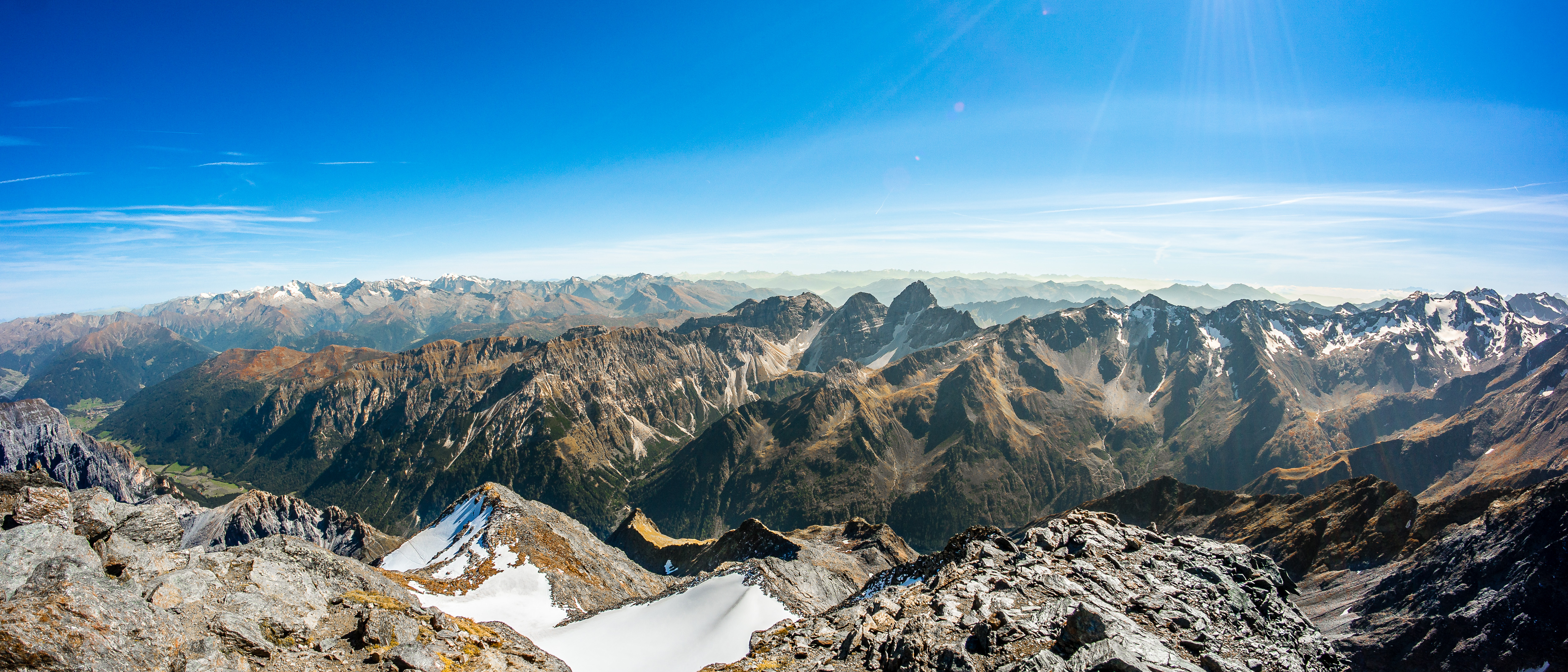
Related Photos:
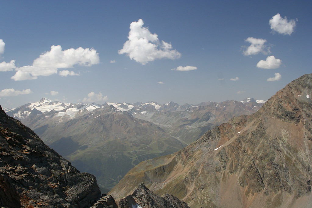
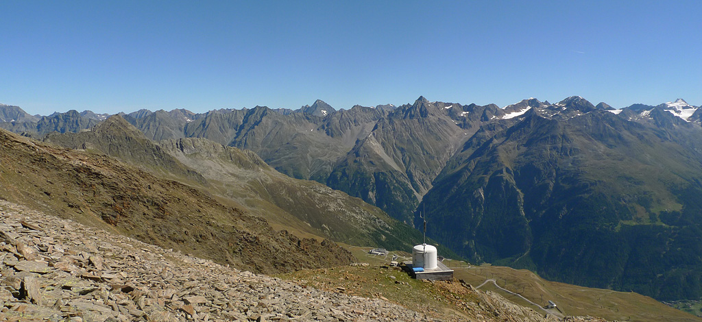
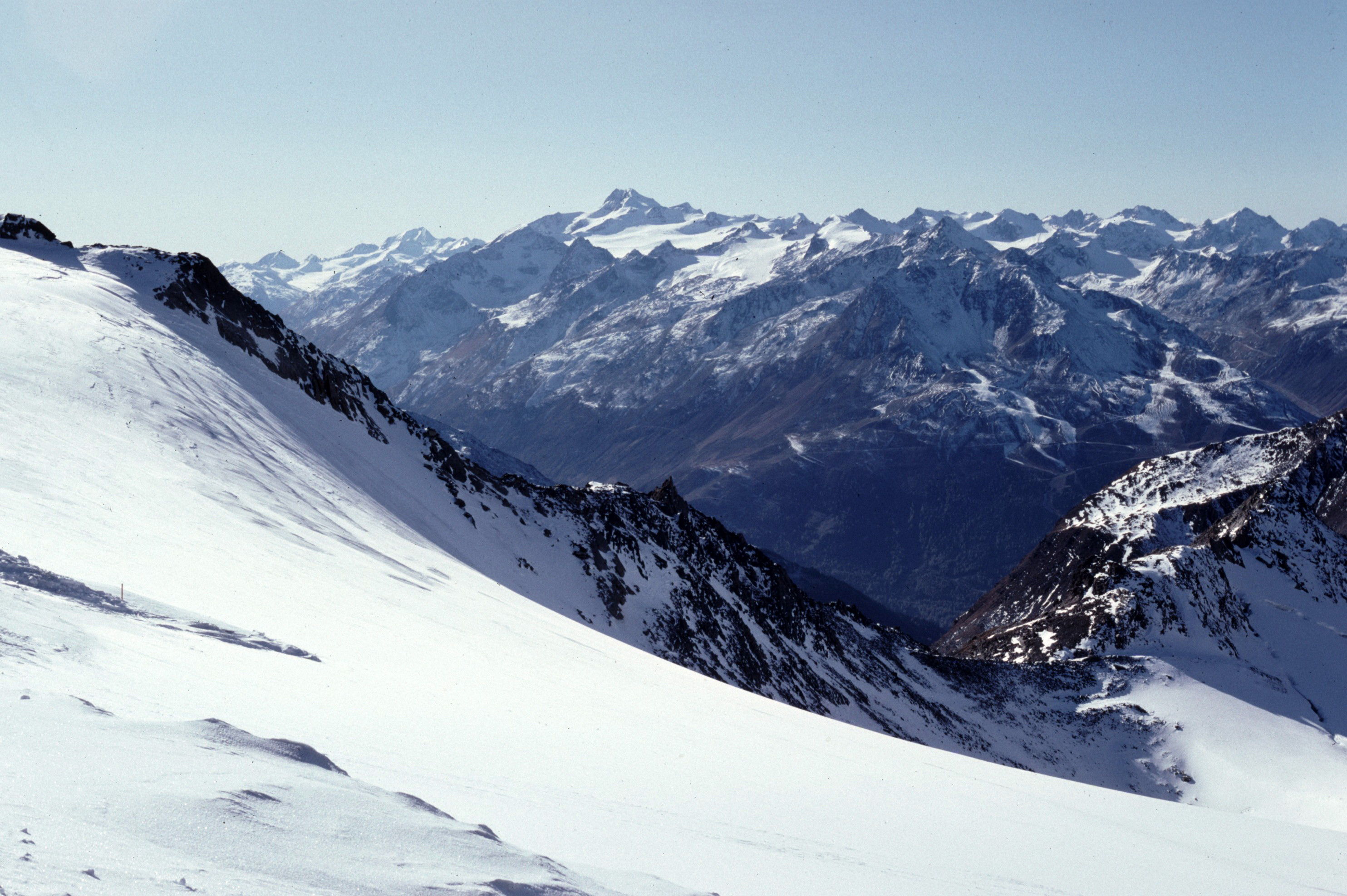
Above 3000
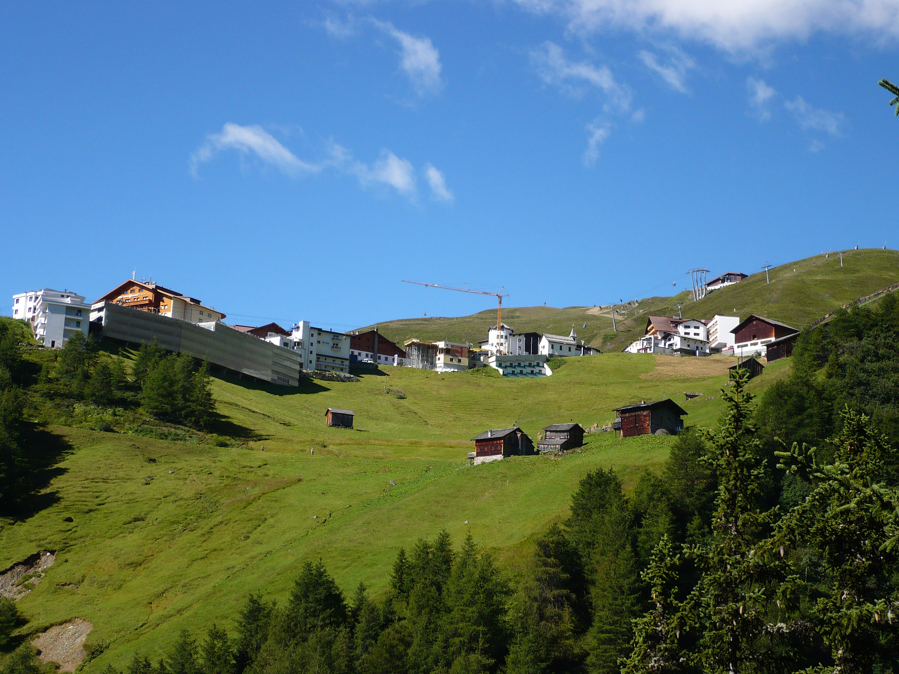
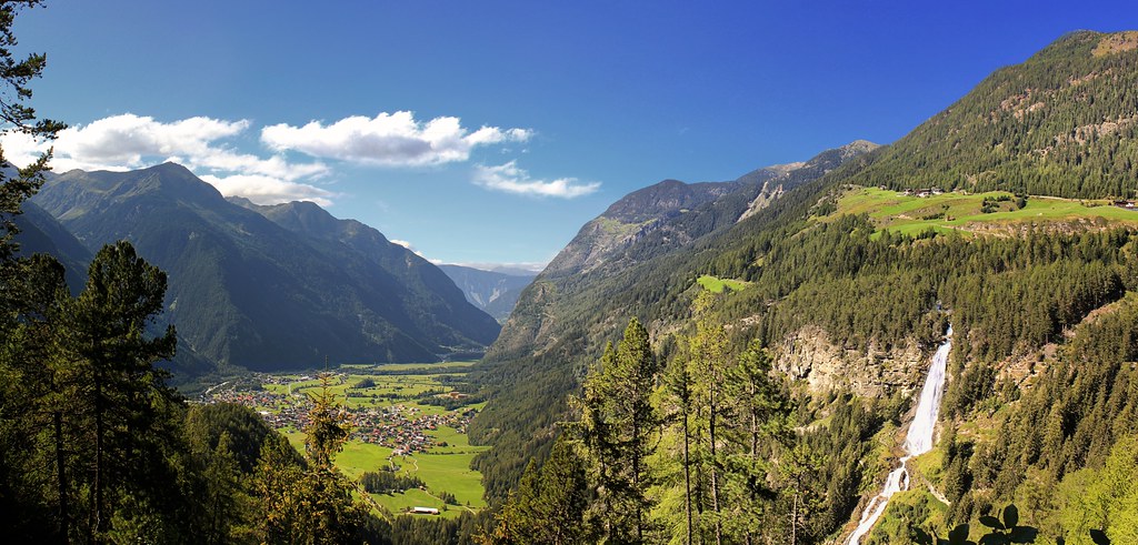
Hochsölden
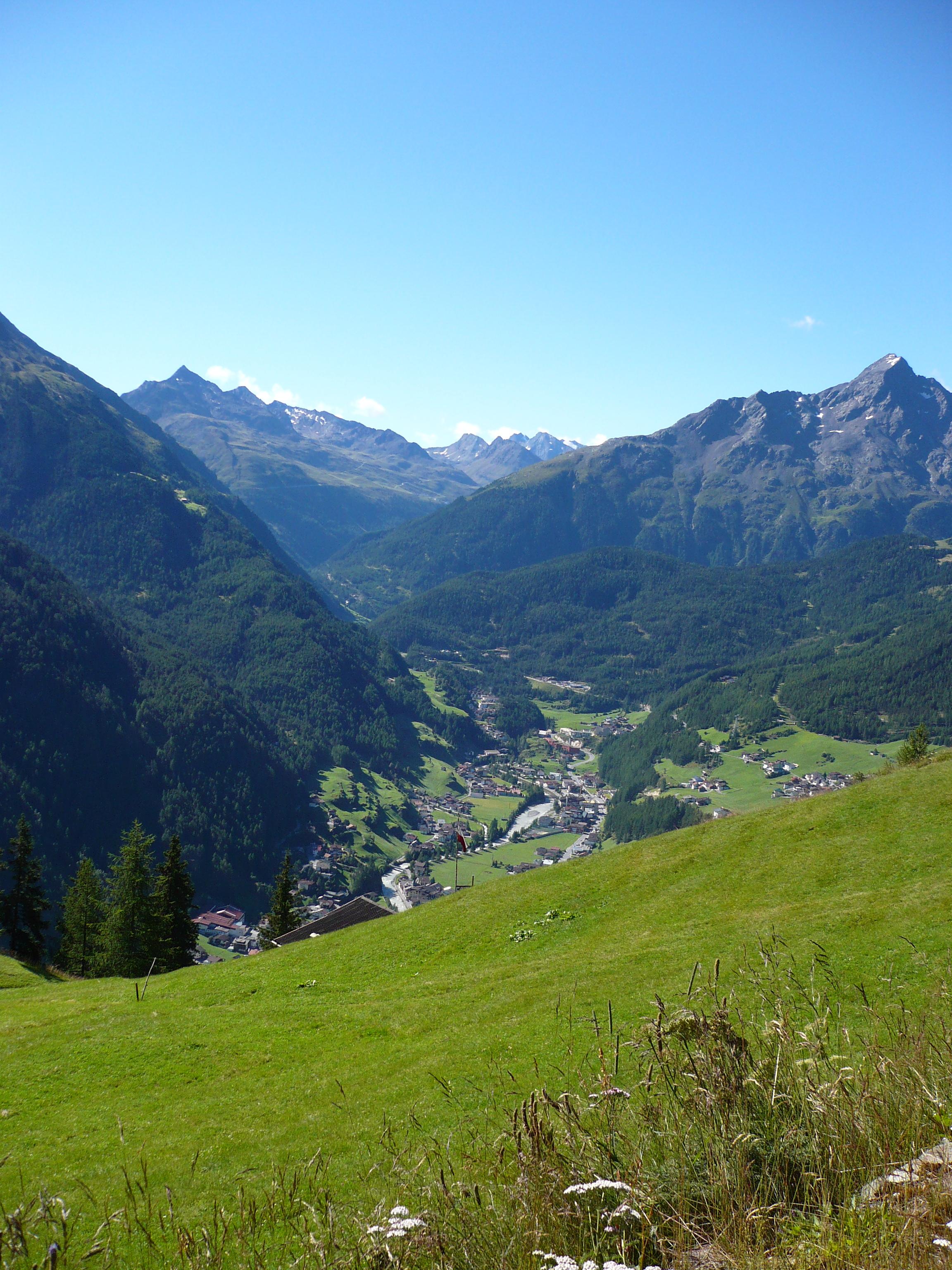
Blick auf Sölden
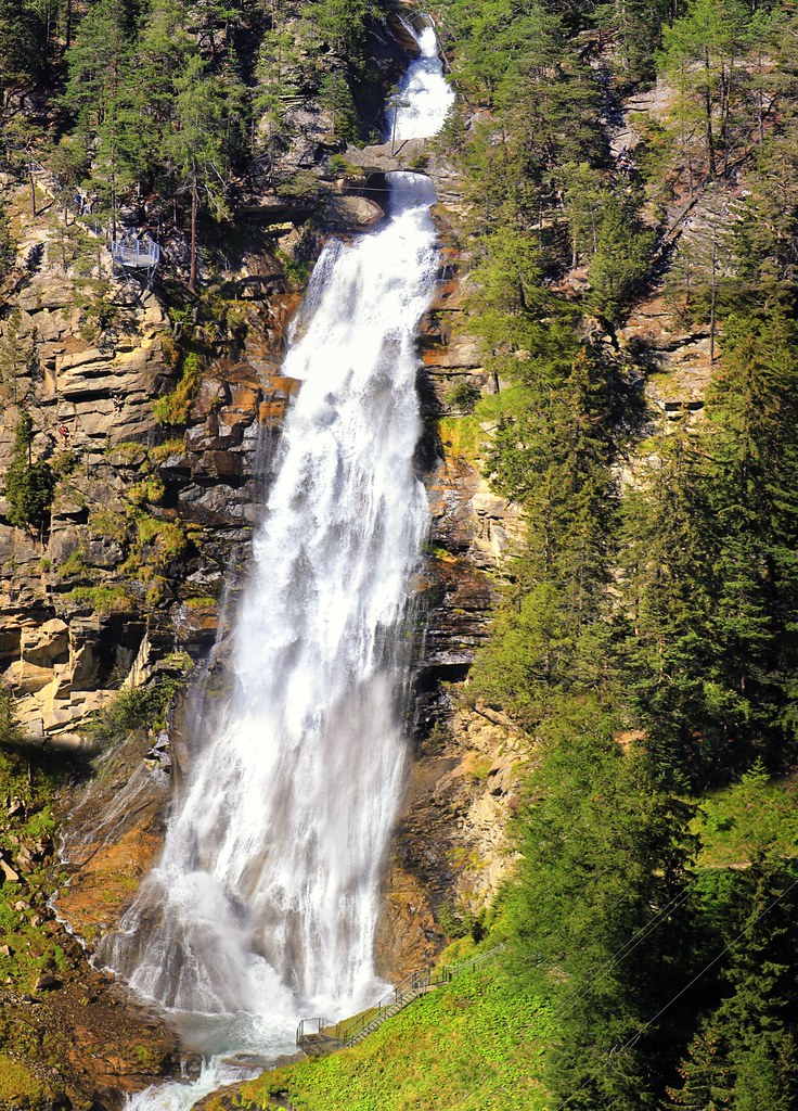
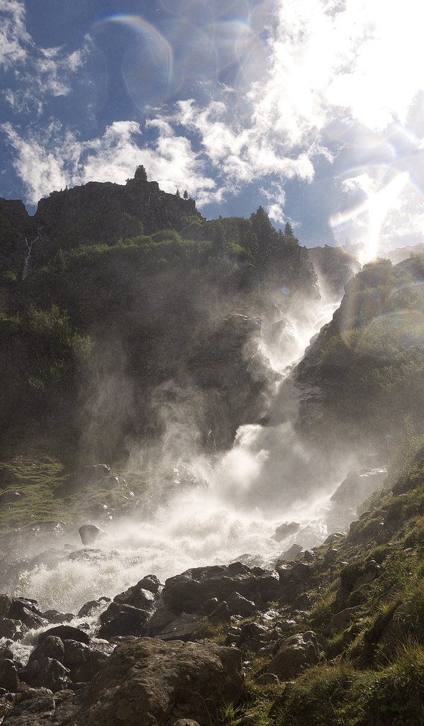
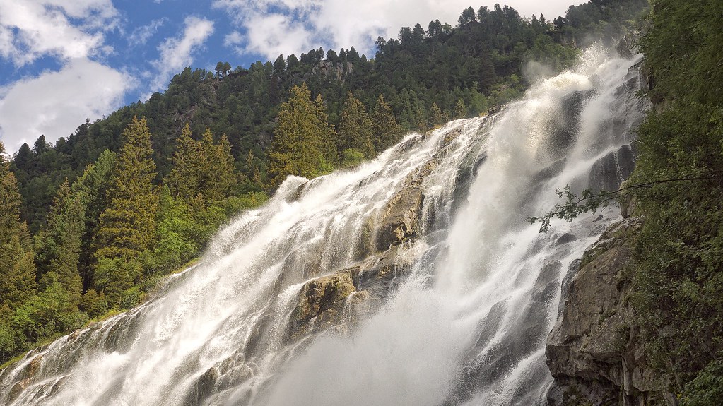
The breathtaking vertical drop of the Stuibenfall
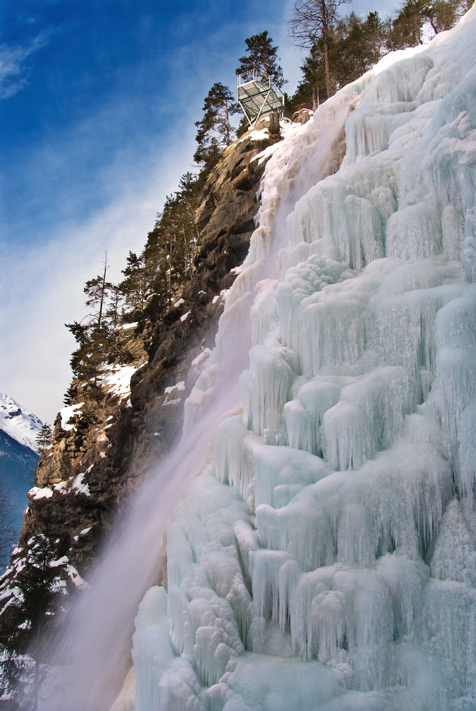
frozen in time and space
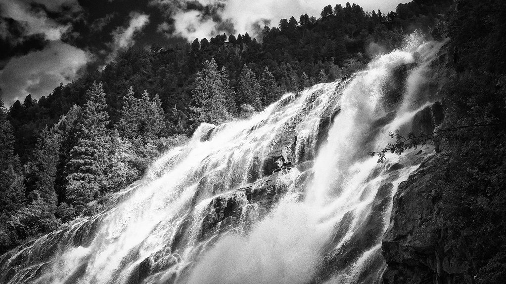
Stuibenfall Tirol's biggest waterfall rushing down 159 meters
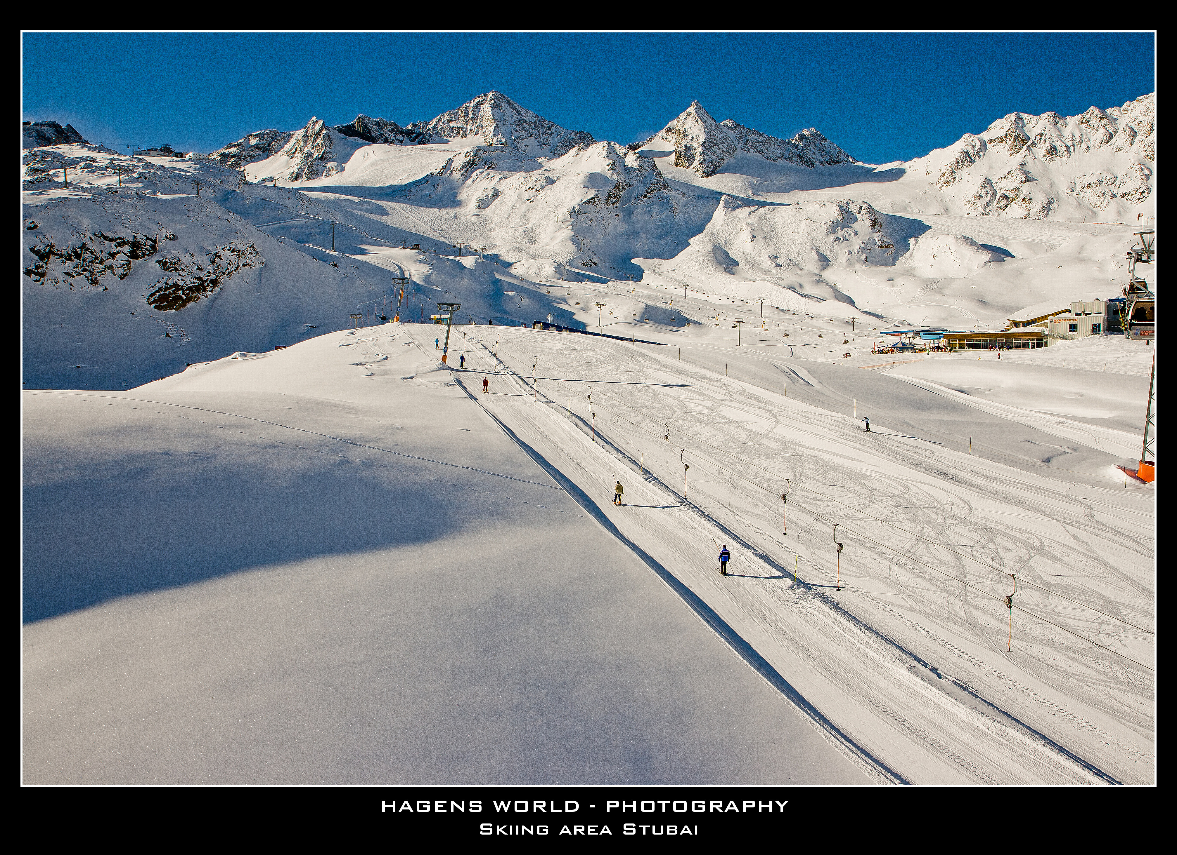
Skiing area Stubai
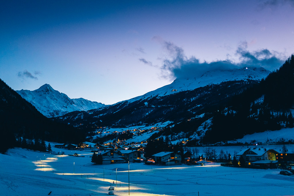
Sölden - From Dusk till Dawn
Waterfall 14
beautiful view
Waterfall 16
On the Top
Waterfall 116
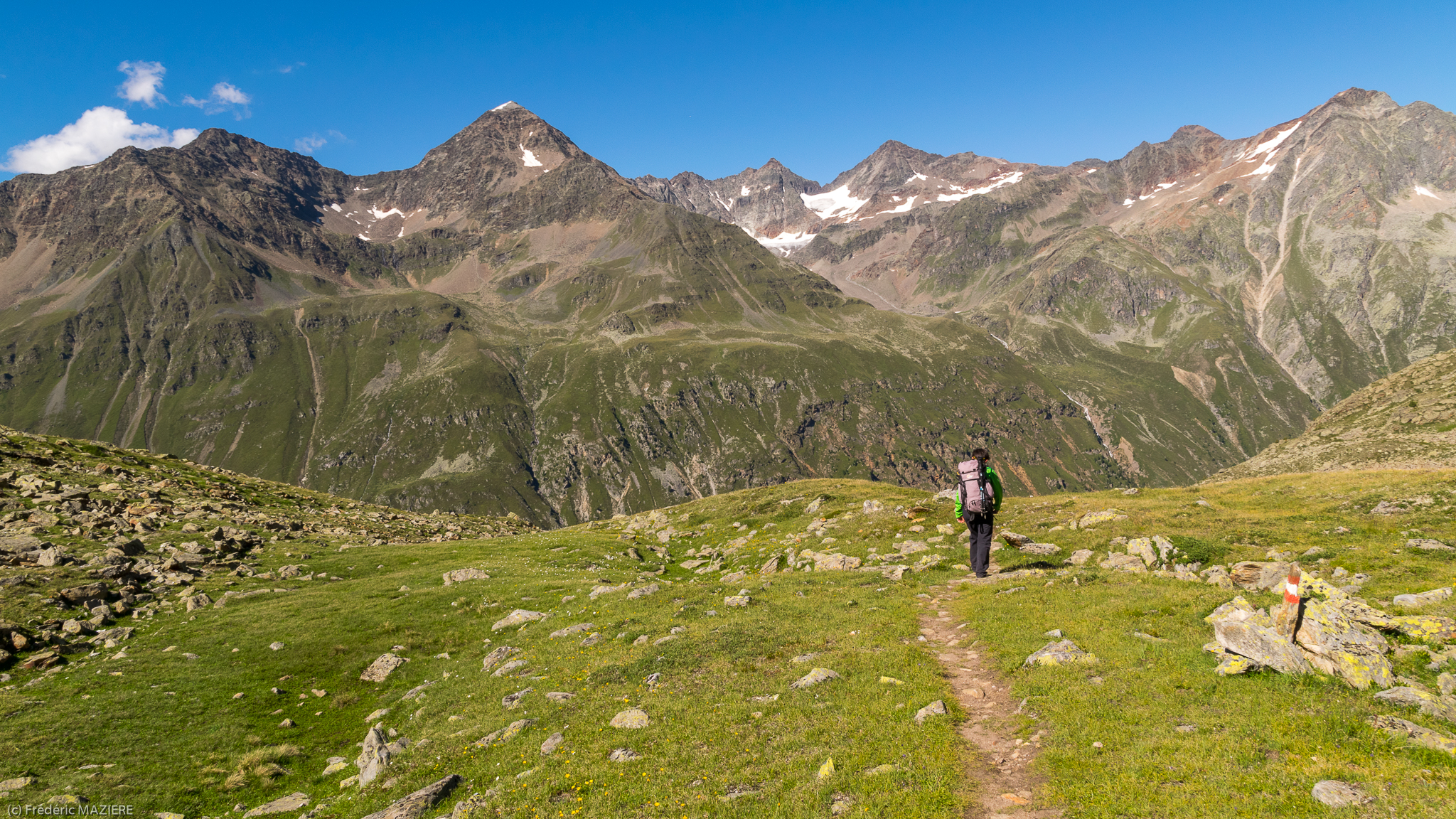
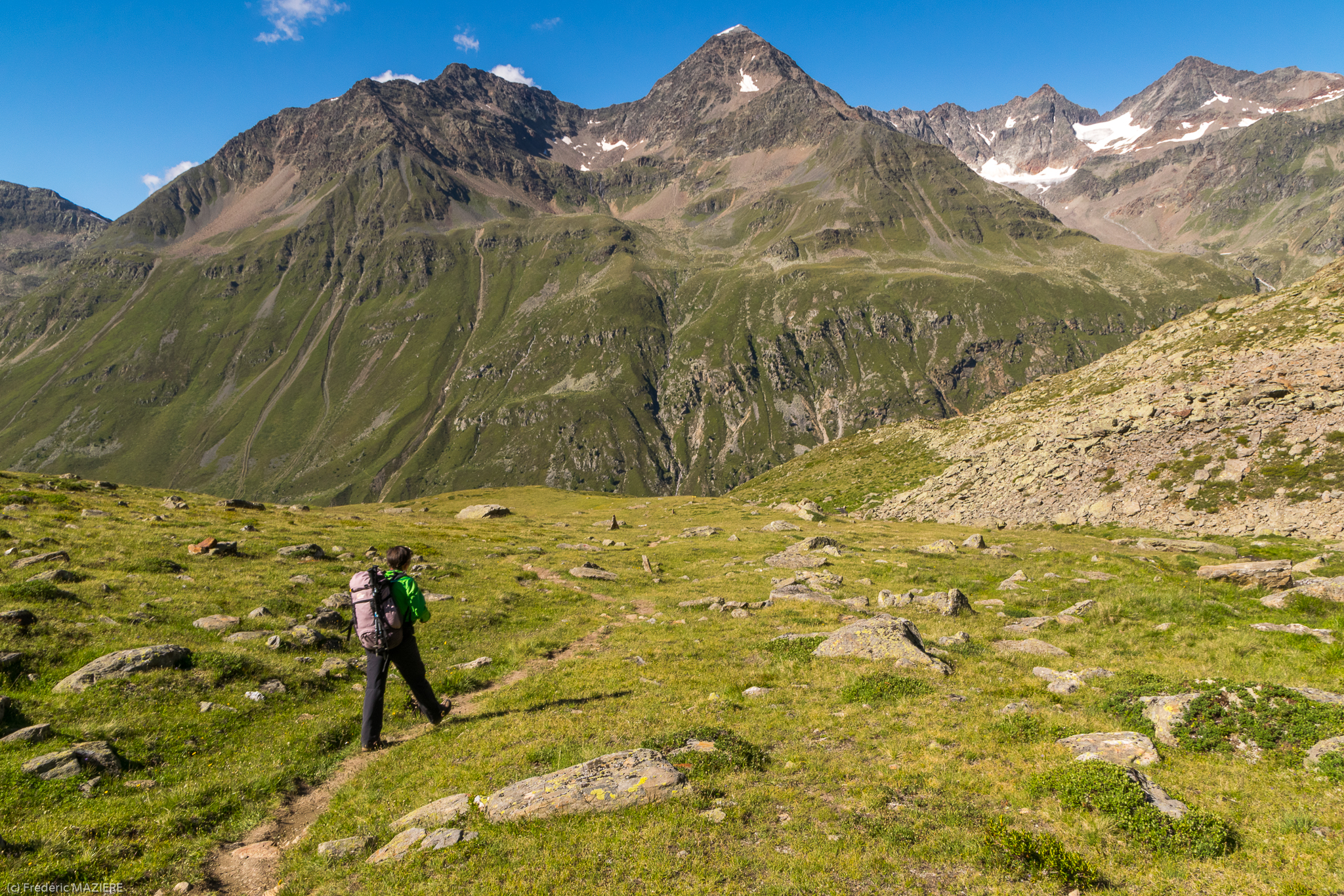
View from Rotkogel - obergurgl hols walk 11
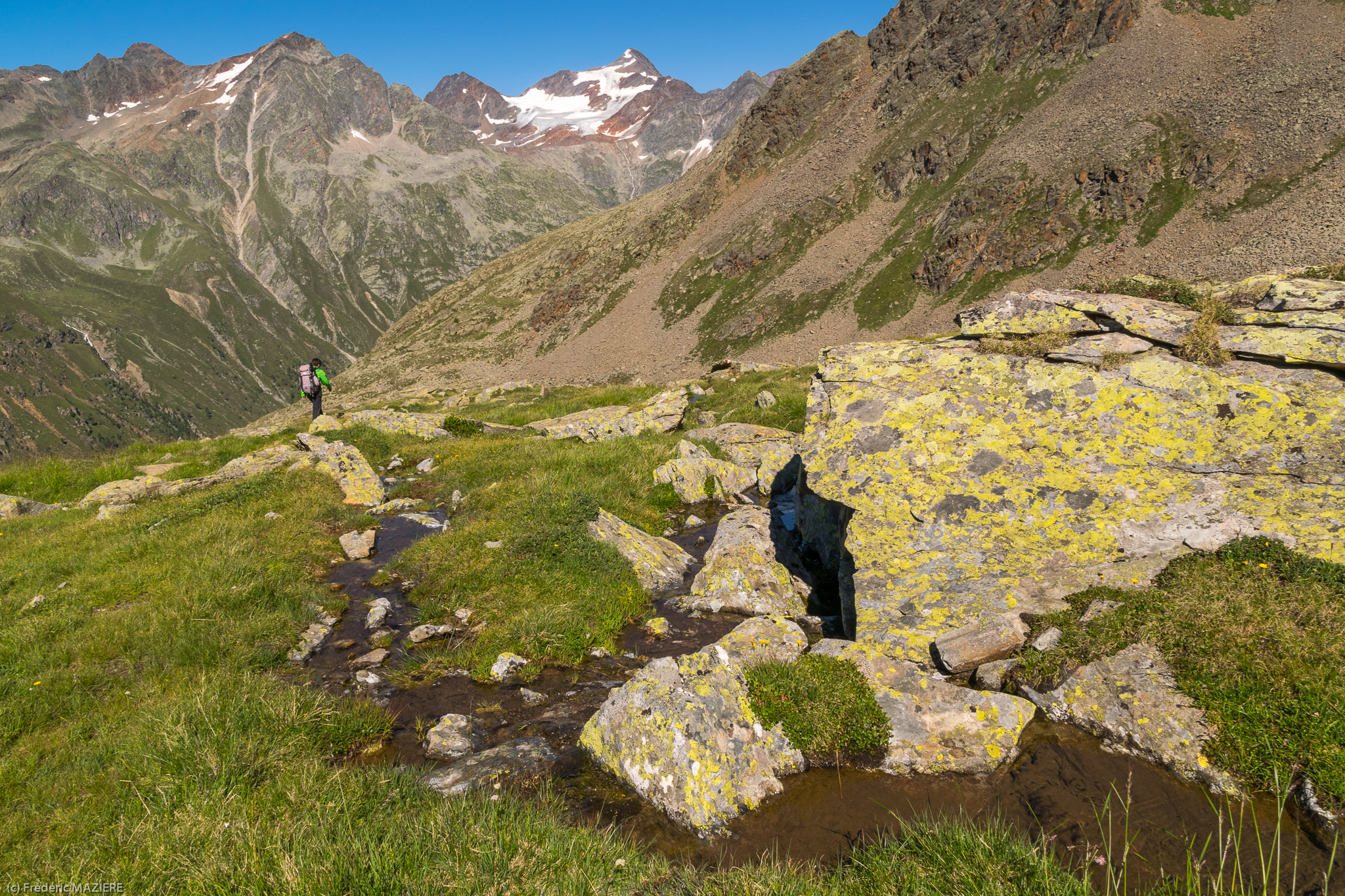
De Rotkogel à Brunnenkogelhaus Fields bus stop
De Rotkogel à Brunnenkogelhaus Fields bus stop
Austria - 1991 (60-37)
De Rotkogel à Brunnenkogelhaus Fields bus stop
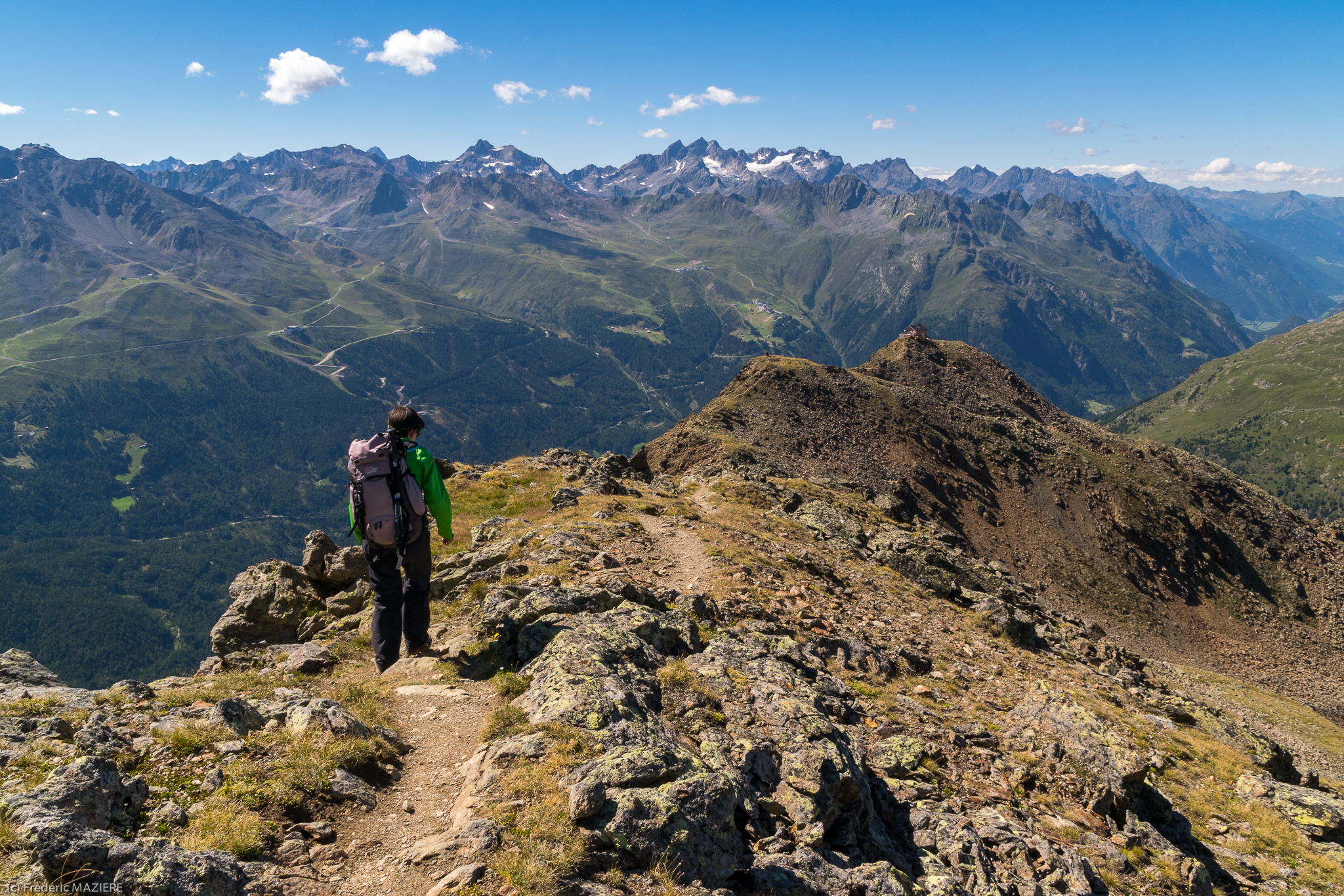
De Rötespitze à Rotkogel

Ridge climbing
De Rotkogel à Brunnenkogelhaus Fields bus stop
Topographic Map of Lisenser Spitze, Austria
Find elevation by address:

Places near Lisenser Spitze, Austria:
Gasthof Winnebach
Winnebachseehütte - Fam. Riml
Gries
Stubai Glacier
Gries 3, Gries, Austria
Gries 55
Gemeinde Sankt Sigmund Im Sellrain
Sankt Sigmund Im Sellrain
Gries Im Sellrain
Schrofenweg 4
Gemeinde Längenfeld
Huben
Oberlängenfeld 140
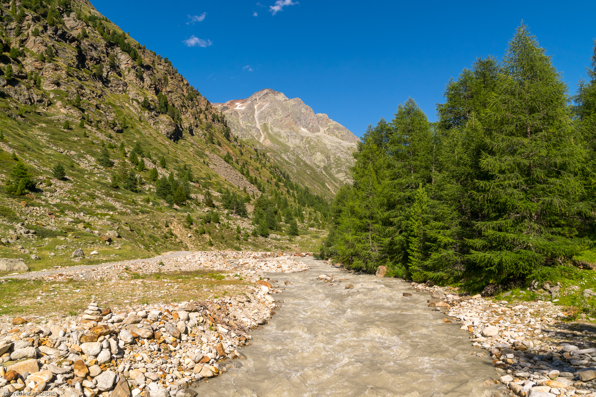
Bsuchalm, Neustift im Stubaital, Austria
Soelden
Gemeinde Sölden
Kühtai
Kühtai Abzw Drei-seen-bahn
Astlehn 92, Huben, Austria
Feuerstein
Recent Searches:
- Elevation of Corso Fratelli Cairoli, 35, Macerata MC, Italy
- Elevation of Tallevast Rd, Sarasota, FL, USA
- Elevation of 4th St E, Sonoma, CA, USA
- Elevation of Black Hollow Rd, Pennsdale, PA, USA
- Elevation of Oakland Ave, Williamsport, PA, USA
- Elevation of Pedrógão Grande, Portugal
- Elevation of Klee Dr, Martinsburg, WV, USA
- Elevation of Via Roma, Pieranica CR, Italy
- Elevation of Tavkvetili Mountain, Georgia
- Elevation of Hartfords Bluff Cir, Mt Pleasant, SC, USA