Elevation of Lindseyville, KY, USA

Location: United States > Kentucky > Edmonson County >

Longitude: -86.294419

Latitude: 37.2358813

Elevation: 209m / 686feet

Barometric Pressure: 99KPa

Elevation Map:

elevation map of Lindseyville, KY, USA

Satellite Map:

Satellite map of Lindseyville, KY, USA

Related Photos:

appalachianmountains appalachianplateaus azimuth62 camranger capturenx2edited​ capturewithcamranger cedarsinktrail centralcumberlandplateau cloudy cumberlandplateau day3 hillsideoftrees internationalbiospherereserve landscape lookingne mammothcavenationalpark mostlycloudy mountains mountainsindistance mountainsoffindistance nature nikond800e outside overcast project365 rollinghillsides travel trees triptogatewaymammothcuyahoganationalparks worldheritagesite ​colorefexpro kentucky unitedstates
Kentucky Hillsides Endowed with a Forest of Greens and Yellows (Mammoth Cave National Park)
moon nikon
Moon of 19th June 2013
appalachianmountains appalachianplateaus azimuth141 capturenx2edited​ cedarsinktrail centralcumberlandplateau cloudy cumberlandplateau day3 hikingtrail internationalbiospherereserve landscape lookingse mammothcavenationalpark mostlycloudy nature naturetrail nikond800e outside overcast project365 talltrees talltreesallaround trail travel trees triptogatewaymammothcuyahoganationalparks worldheritagesite ​colorefexpro kentucky unitedstates
I Am Undertaking a Path That Leads Me Onward... (Mammoth Cave National Park)
appalachianmountains appalachianplateaus aurorahdr aurorahdrpro​ azimuth21 blueskies bluesskieswithclouds capturenx2edited​ centralcumberlandplateau cumberlandplateau day3 internationalbiospherereserve landscape lookingne lookingup lookingupatsky lookingupatskythroughtrees lookingupatskythrutrees lookinguptosky mammothcavenationalpark nature nikond800e outside partlycloudy project365 singleimagehdr sunny talltrees talltreesallaround travel trees triptogatewaymammothcuyahoganationalparks turnholebendnaturetrail worldheritagesite ​colorefexpro ​hdr kentucky unitedstates
A Portrait Orientation of Trees Above and Around Me (Mammoth Cave National Park)
appalachianmountains appalachianplateaus azimuth31 capturenx2edited​ cedarsinktrail centralcumberlandplateau cumberlandplateau day3 landscape lookingne mammothcavenationalpark nature nikond800e outside project365 talltrees talltreesallaround travel trees triptotriptogatewaymammothcuyahoganationalparks worldheritagesite internationalbiospherereserve ​colorefexpro kentucky unitedstates
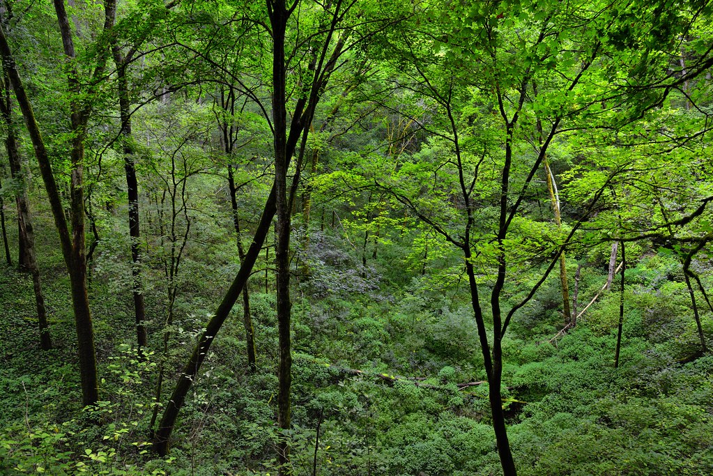
Somewhere Amongst the Green Foliage of a Forest of Trees (Mammoth Cave National Park)
appalachianmountains appalachianplateaus azimuth44 camranger capturenx2edited​ capturewithcamranger centralcumberlandplateau cumberlandplateau day3 greenriver internationalbiospherereserve landscape lookingne mammothcavenationalpark nature nikond800e outside project365 river travel trees triptotriptogatewaymammothcuyahoganationalparks turnholebendnaturetrail worldheritagesite ​colorefexpro kentucky unitedstates
To Summon Forth and Soak in a View of the Green River Amongst the Forest of Green (Mammoth Cave National Park)
appalachianmountains appalachianplateaus azimuth31 capturenx2edited​ cedarsinktrail centralcumberlandplateau cumberlandplateau day3 internationalbiospherereserve landscape limestonecliffs lookingne mammothcavenationalpark nature nikond800e outside project365 talltrees talltreesallaround travel trees triptotriptogatewaymammothcuyahoganationalparks worldheritagesite ​colorefexpro kentucky unitedstates
Limestone Cliffs and Forest Along the Cedar Sink Trail (Mammoth Cave National Park)
alongroadside appalachianmountains appalachianplateaus azimuth147 blueskies bluesskieswithclouds capturenx2edited​ centralcumberlandplateau cows cowsgrazing cumberlandplateau day3 daydreaming daydreeam farm farmland hillsideoftrees landscape lookingse nature nikond800e outside partlycloudy portfolio project365 roadsidepulloff rollinghillsides sunny travel trees triptotriptogatewaymammothcuyahoganationalparks ​colorefexpro morgantown kentucky unitedstates
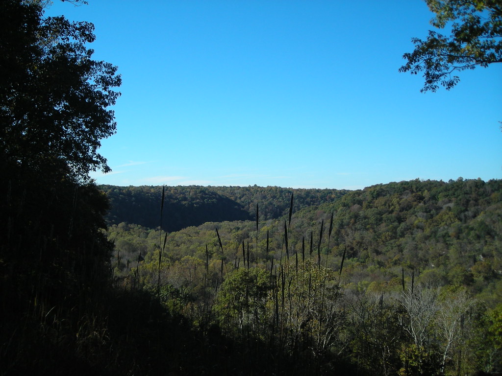
The Sweetness of a Countryside View Under Skies of Blue
road old house home church rural farm kentucky ky country shack tobacco rundown hme annetta mcgrew graysoncounty anetta leitchfield mcgrewchurchroad
Side view of the house
nolinlake water
2019.02.16_19.07.23_88
trees lake water nolinlakekentucky
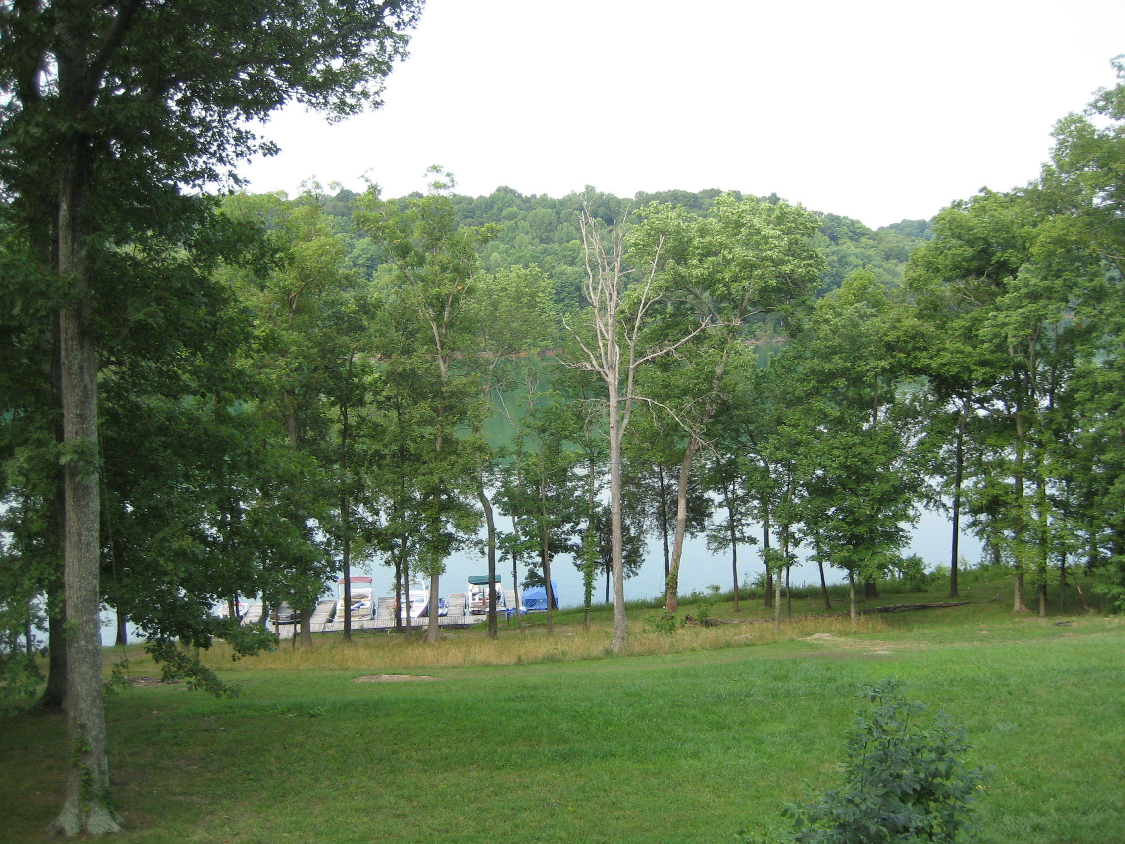
Nolin Lake in Kentucky
water rock nolinlakekentucky
View out of the cove at the dam on Nolin Lake
water rock nolinlakekentucky
View out of the cove by the dam on Nolin Lake
trees water boat nolinlakekentucky
Dock at Rental House - Nolin Lake
trees lake water nolinlakekentucky
View of Nolin Lake
rock nolinlakekentucky
View of the Rocks behing the rental house at Nolin lake
trees lake water nolinlakekentucky
View of Nolin Lake
trees nolinlakekentucky
View of the garage
park nationalpark hiking kentucky trail mammothcave cave
View from Mammoth Dome Sink Trail
trees lake water nolinlakekentucky
View of Nolin Lake
trees water nolinlakekentucky
View from rental house
appalachianmountains appalachianplateaus aurorahdr aurorahdrpro​ azimuth18 blueskies bluesskieswithclouds camranger canvas capturenx2edited​ capturewithcamranger centralcumberlandplateau cumberlandplateau day3 freeversepoetry greenriver hillsideoftrees landscape lookingnne mammothcavenationalpark mountains mountainsindistance mountainsoffindistance nature nikond800e outside partlycloudy poemsused poetryandprose portfolio project365 river rollinghillsides singleimagehdr sunny talltrees talltreesallaround travel trees triptotriptogatewaymammothcuyahoganationalparks turnholebend turnholebendnaturetrail worldheritagesite internationalbiospherereserve ​colorefexpro ​hdr kentucky unitedstates
Had I Not Found Content Amongst the Trees (Mammoth Cave National Park)
kentucky mammothcave
Rural Kentucky Near Mammoth Cave National Park
kentucky mammothcave
Rural Kentucky Near Mammoth Cave National Park
usa geotagged unitedstates hiking kentucky ollie mammothcavenationalpark brownsville mcnp canon7d sigma18250mmf3563dcmacrooshsm geo:lat=3721435150 geo:lon=8622522775
Mammoth Cave National Park - January 4, 2014
Nolin Lake
appalachianmountains appalachianplateaus azimuth253 capturenx2edited​ centralcumberlandplateau cumberlandplateau day3 internationalbiospherereserve landscape limestonecliffs lookingsw mammothcavenationalpark nature nikond800e outside project365 sinkholearea talltrees talltreesallaround travel trees triptogatewaymammothcuyahoganationalparks turnholebendnaturetrail worldheritagesite ​colorefexpro kentucky unitedstates
Limestone Cliffs Along a Sinkhole Area While Walking the Turnhole Bend Nature Trail
appalachianmountains appalachianplateaus azimuth31 capturenx2edited​ cedarsinktrail centralcumberlandplateau cumberlandplateau day3 internationalbiospherereserve landscape lookingne mammothcavenationalpark nature nikond800e outside project365 talltrees talltreesallaround travel trees triptogatewaymammothcuyahoganationalparks worldheritagesite ​colorefexpro kentucky unitedstates
A Forest Growing in Cedar Sink (Mammoth Cave National Park)
appalachianmountains appalachianplateaus azimuth149 blueskies bluesskieswithclouds capturenx2edited​ centralcumberlandplateau cumberlandplateau day3 internationalbiospherereserve landscape lookingse lookingup lookingupatsky lookingupatskythroughtrees lookingupatskythrutrees lookinguptosky mammothcavenationalpark nature nikond800e outside partlycloudy portfolio project365 sunny talltrees talltreesallaround travel trees triptotriptogatewaymammothcuyahoganationalparks turnholebendnaturetrail turnholebendnaturetrailhead worldheritagesite ​colorefexpro kentucky unitedstates
In the Forest I Have Stood Under the Kentucky Skies (Mammoth Cave National Park)
alongroadside appalachianmountains appalachianplateaus asphaltroad azimuth67 blueskies bluesskieswithclouds capturenx2edited​ car cardriving centerstripes centralcumberlandplateau countryroad cumberlandplateau day3 fenceline fenceposts grassyarea grassyfield grassymarsh grassymeadow highway highwaysigns horse horsegrazing landscape lookingene meadows morgantownrd nature nikond800e outside partlycloudy poles portfolio project365 road roadsidepulloff standinginmiddleofroad standinginroad sunny travel trees triptogatewaymammothcuyahoganationalparks utilitycables utilitypoles ​colorefexpro brownsville kentucky unitedstates
Small Town Roads of Kentucky
appalachianmountains appalachianplateaus aurorahdr aurorahdrpro​ azimuth248 blueskies bluesskieswithclouds canvas capturenx2edited​ centralcumberlandplateau cumberlandplateau day3 freeversepoetry landscape lookingsw lookingup lookingupatsky lookingupatskythroughtrees lookingupatskythrutrees lookinguptosky mammothcavenationalpark nature nikond800e outside partlycloudy poemsused poetryandprose portfolio project365 singleimagehdr sunny talltrees talltreesallaround travel trees triptotriptogatewaymammothcuyahoganationalparks turnholebendnaturetrail worldheritagesite internationalbiospherereserve ​colorefexpro ​hdr kentucky unitedstates
Forest in Mammoth Cave National Park
Kentucky Backroads
usa geotagged arthur unitedstates hiking kentucky ollie hdr mammothcavenationalpark brownsville mcnp canon7d sigma18250mmf3563dcmacrooshsm geo:lat=3721497209 geo:lon=8621235700
Winter Color at Mammoth Cave National Park
usa geotagged unitedstates hiking kentucky ollie woodside mammothcavenationalpark brownsville mcnp canon7d sigma18250mmf3563dcmacrooshsm geo:lat=3722626500 geo:lon=8622543560
Mammoth Cave National Park - January 4, 2014
Sunfish, Kentucky, No. 1