Elevation map of Lincoln County, NE, USA
Location: United States > Nebraska >
Longitude: -100.80000
Latitude: 40.9338037
Elevation: 932m / 3058feet
Barometric Pressure: 91KPa
Elevation Map:
Satellite Map:
Related Photos:
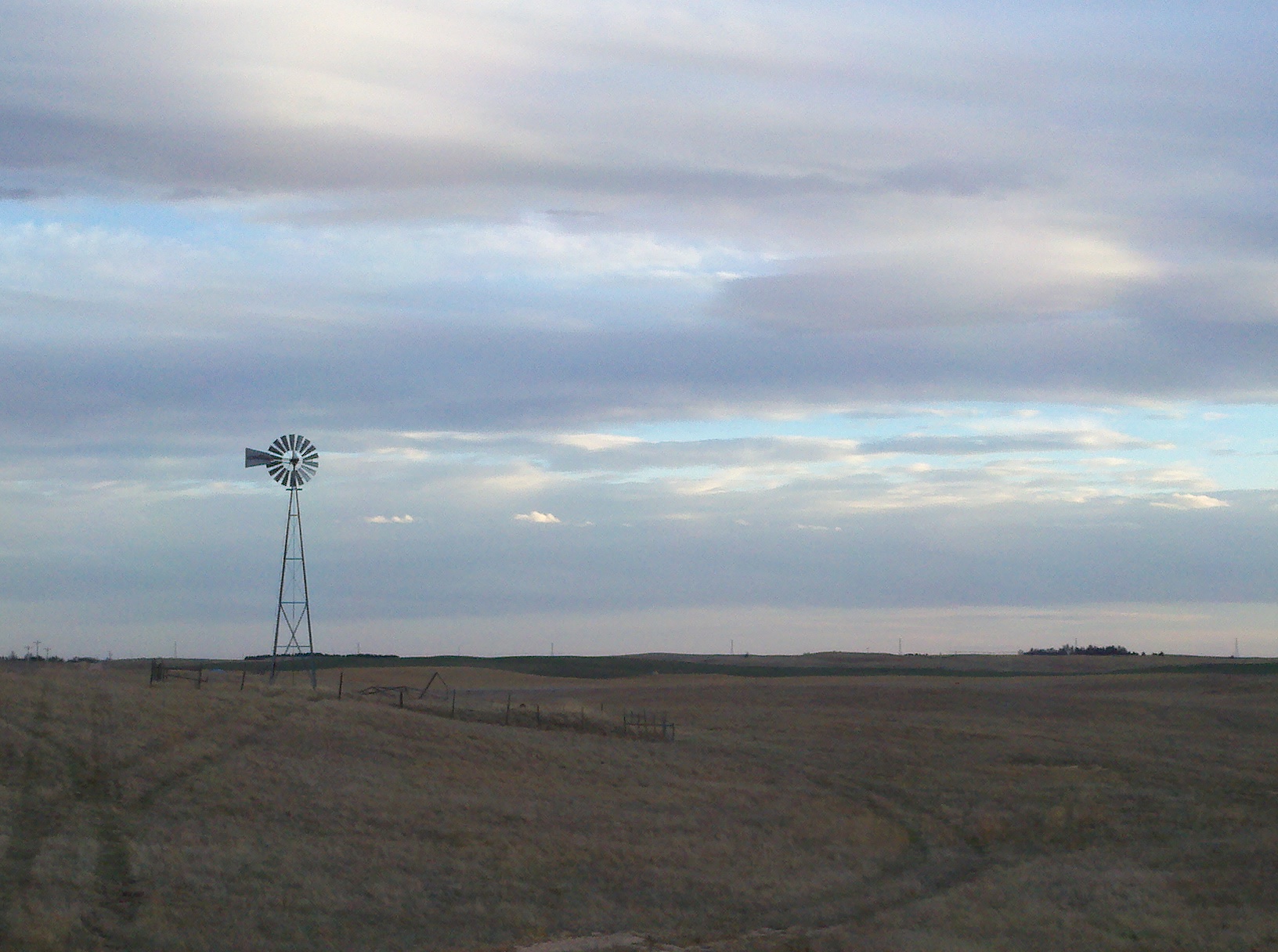
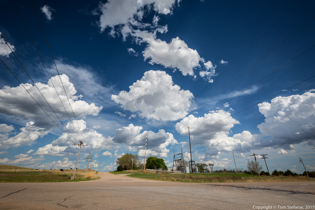
Prairie View
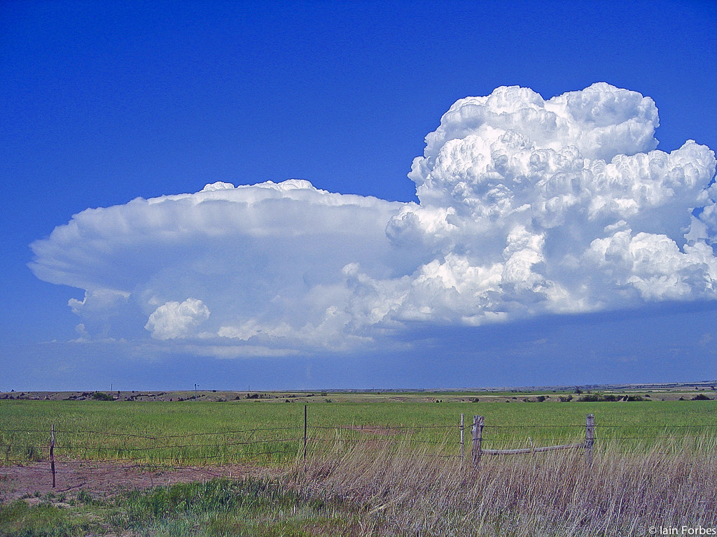
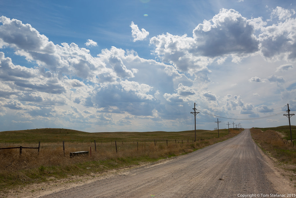
Nebraska Anvil
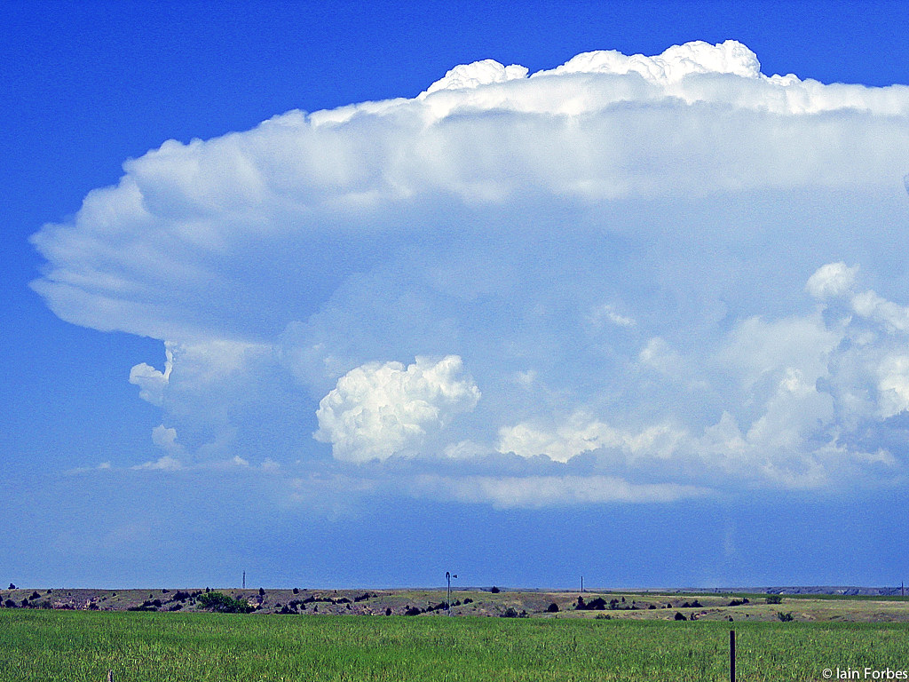
Anvil cloud in Nebraska

love: dumpster style
20150502-_E1A0222.jpg
20150502-_E1A0215.jpg
20150502-_E1A0211.jpg

2003 Hummer H2
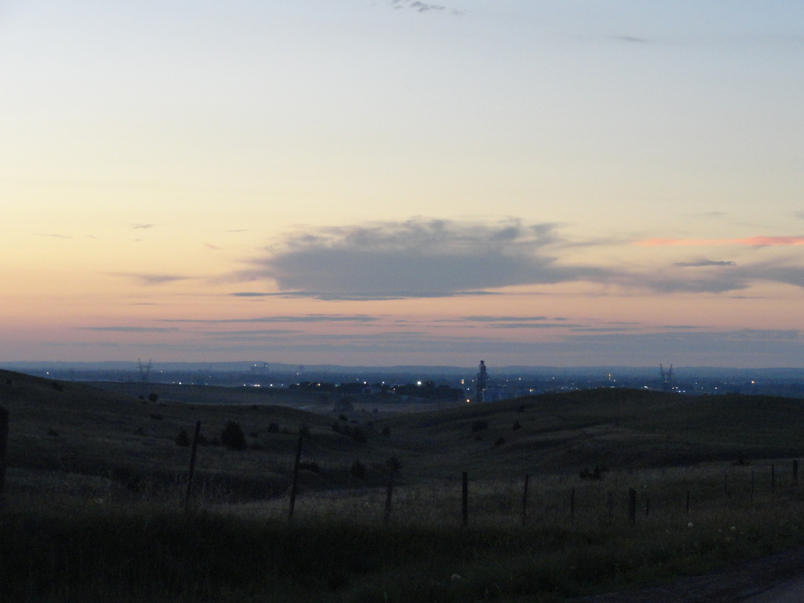
Sunset over North Platte
Topographic Map of Lincoln County, NE, USA
Find elevation by address:

Places in Lincoln County, NE, USA:
Places near Lincoln County, NE, USA:
3225 Old Barn Rd
302 W Eugene Ave
North Platte Visitor Center
Osgood
2620 Birchwood Rd
811 East E Street
North Platte
North Platte
Hershey
North Game Trail Road
Hershey
North Platte, Ne
Lincoln Hwy, Hershey, NE, USA
Brady
Stapleton
Tryon
Logan County
Cozad
Delight
Callaway
Recent Searches:
- Elevation of Corso Fratelli Cairoli, 35, Macerata MC, Italy
- Elevation of Tallevast Rd, Sarasota, FL, USA
- Elevation of 4th St E, Sonoma, CA, USA
- Elevation of Black Hollow Rd, Pennsdale, PA, USA
- Elevation of Oakland Ave, Williamsport, PA, USA
- Elevation of Pedrógão Grande, Portugal
- Elevation of Klee Dr, Martinsburg, WV, USA
- Elevation of Via Roma, Pieranica CR, Italy
- Elevation of Tavkvetili Mountain, Georgia
- Elevation of Hartfords Bluff Cir, Mt Pleasant, SC, USA