Elevation of Limestone Peak, East Kootenay G, BC V0A, Canada

Location: Canada > British Columbia > East Kootenay > East Kootenay G >

Longitude: -116.29833

Latitude: 51.1833333

Elevation: 2872m / 9423feet

Barometric Pressure: 71KPa

Elevation Map:

elevation map of Limestone Peak, East Kootenay G, BC V0A, Canada

Satellite Map:

Satellite map of Limestone Peak, East Kootenay G, BC V0A, Canada

Related Photos:

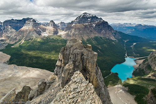
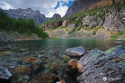
lake mountains color colour beautiful wonderful landscape high scenery paradise view superb outdoor altitude scenic scene alpine valley vista daytime geology elevation majestic viewpoint idyllic height breathtaking pristine geological enchanting glaciallake magnificence morrainelake grandness traveldestination banffpark photoshelter visipix
Moraine Lake and Surroundings - Unconventional View
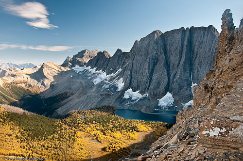
ca autumn lake canada fall nature rockies high bc bright hiking britishcolumbia bluesky glacier alpine northamerica rockymountains geology wilderness larch tarn rockwall steep rockformations rockwalls freshwater kootenaypark treesforests skyandatmosphere
Floe Lake From Foster Peak Slopes
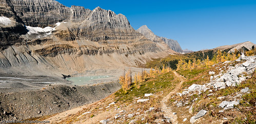
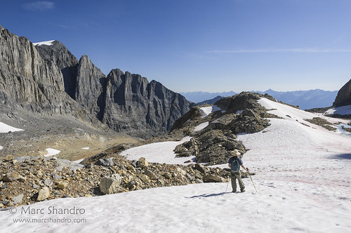
autumn panorama lake canada mountains fall nature rockies highresolution bright path britishcolumbia bluesky trail alpine backpacking northamerica rockymountains geology larch tarn rockwall kootenay rockformations rockwalls freshwater kootenaypark
Tumbling Pass - Rockwall Trail
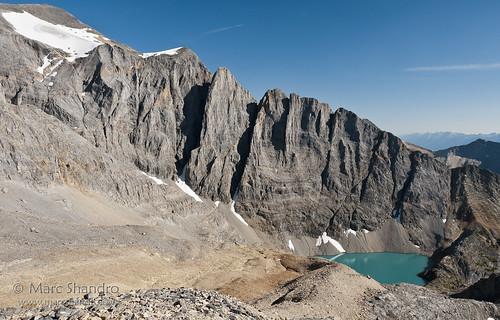
summer lake nature landscape bc view bright outdoor britishcolumbia scenic bluesky alpine remote geology wilderness barren rockformations rockwalls freshwater glacial canadianrockies rugget
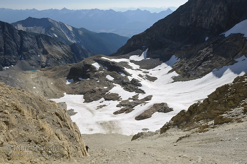
High Lake Behind The Rockwall
canada canadianrockies northamerica alpine altitude barren elevation environments expanse high landscape mountainous nature outdoor rugged scenic scrambling summer view britishcolumbia
Exploring Near Mt. Gray and High Lake
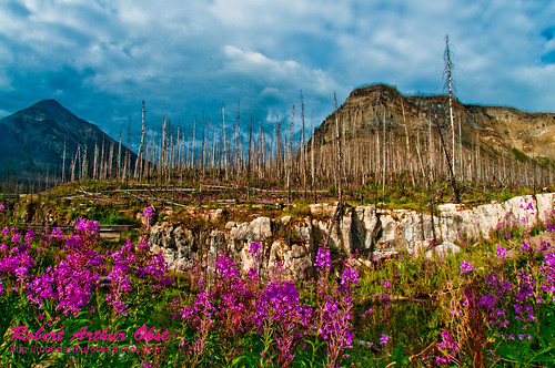
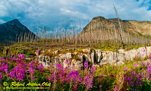
usa canada mountains hot west bc hiking britishcolumbia springs radium radiumhotsprings fireweed marblecanyon epilobiumangustifolium greatwillowherb kootenaynationalpark adventuretravel tokummcreek nationalparksandmonuments obstphotos “newcameraflowercontest” obstbestphotos destinationswildscenichikingtrails natureenchantingflowersforestsfoliage obstphotosbest2010 fireweedtrailhikersviewoffireweedalsoknownasgreatwillowherborepilobiumangustifoliumgrowingneartokummcreekandmarblecanyonwithinkootenaynationalpark landscapesinspirational destinationswildscenic fireweedtrail newcameraflowersphoto28feb2011contest3057neffflimcanbcrhskootenaynpfireweedmarblecanyonbcs perennialherbaceousplantinwillowherbfamilyonagraceae nativeflowerthroughoutthetemperatenorthernhemisphere
Fireweed Trail hiker's view of Fireweed also known as Great Willow-herb or Epilobium angustifolium growing near Tokumm Creek and Marble Canyon within Kootenay National Park (Canada BC Radium Hot Springs)
canada mountains nature landscape stereoscopic bc view bright outdoor britishcolumbia scenic sunny bluesky alpine remote wilderness elevation barren rugged glacial canadianrockies
Exploration Above High Lake
sky mountain canada reflection water beauty grass rock horizontal clouds landscape outdoors day underwater nopeople glacier alberta banff rockymountains transcanadahighway lakelouise idyllic lakeagnes icefields bowriver mountrundle freshness jaspernationalpark banffnationalpark castlemountain lakeminnewanka morainelake mountainrange icefieldsparkway canadianrockies valleyofthetenpeaks herbertlake beautyinnature colourimage johnstoncanyons
Lake Agnes Rugged Terrain
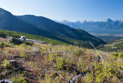
canada view britishcolumbia northamerica rv canadianrockies outdoorrecreation truckcamper spillimacheen
Logging Road Camp
canada britishcolumbia northamerica canadianrockies spillimacheen
Dainard Lake
obstphotos adventuretravelusawestcanadakootenaynationalpark landscapesinspirationalmountains destinationswildscenicnationalparksandmonuments destinationswildscenichikingtrails canadakootenaynationalparkradiumhotspringsbritishcolumbiamarblecanyontokummcreek hikingthefireweedtrailinmarblecanyonalongtokummcreeknearradiumhotspringsbritishcolumbia epilobiumangustifoliumorfireweedorgreatwillowherbaperennialherbaceousplantinwillowherbfamilyonagraceaenativethroughoutthetemperatenorthernhemisphere natureenchantingflowersforestsfoliage photocontesttnc12 photocontesttnc12fireweedtrailhikersviewoffireweedgrowingneartokummcreekandmarblecanyonwithinkootenaynationalparkcanadabcradiumhotsprings obstbest neffflim3057ato2010canbcrhskootenaynpflowersmarblecanyonb
PhotoContest-TNC12_3057.W_NEFFF.LIM.ATO2010-CAN.BC.RHS.KootenayNPFlowers.MarbleCanyon-B
2014-07-14 12.18.46_edited-1
Alpine view
park summer mountain lake mountains temple nationalpark little 10 july rocky neil glacier mount route hut louise national valley ten summit banff rockymountains peaks lakelouise fay moraine bowlen banffnationalpark morainelake colgan 2014 mounttemple perren valleyofthe10peaks mountlittle mountfay neilcolganhut mountbowlen neilcolgan summer2014 july2014 perrenroute
Mount Fay summit view
2014-07-14 12.23.16_edited-1
2014-07-14 12.07.46_edited-1
Alpine view
park autumn summer mountain lake canada mountains fall ice rockies nationalpark rocks shadows sam hiking helmet lakes pass peak eiffel hike september glacier louise alberta valley glaciers mountaineering banff hiker rockymountains shorts larch larches moraine valleys morainelake valleyofthetenpeaks tenpeaks wenkchemna gaiters eiffellake wenkchemnapass wenkchemnapeak
View from Wenkchemna Peak