Elevation of Ligron, France
Location: France > Pays De La Loire > Sarthe >
Longitude: 0.010352
Latitude: 47.772066
Elevation: 96m / 315feet
Barometric Pressure: 100KPa
Elevation Map:
Satellite Map:
Related Photos:

View on La Flèche city hall

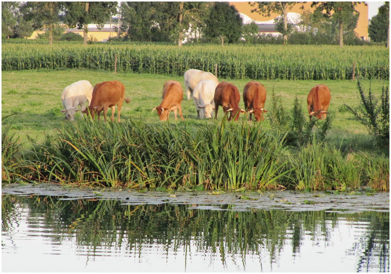
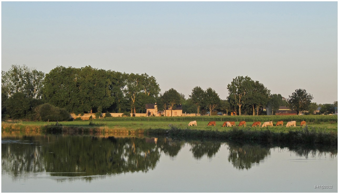
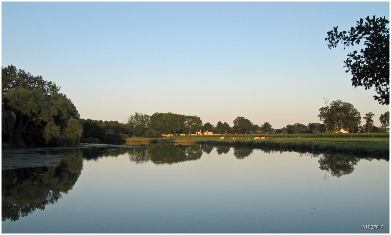
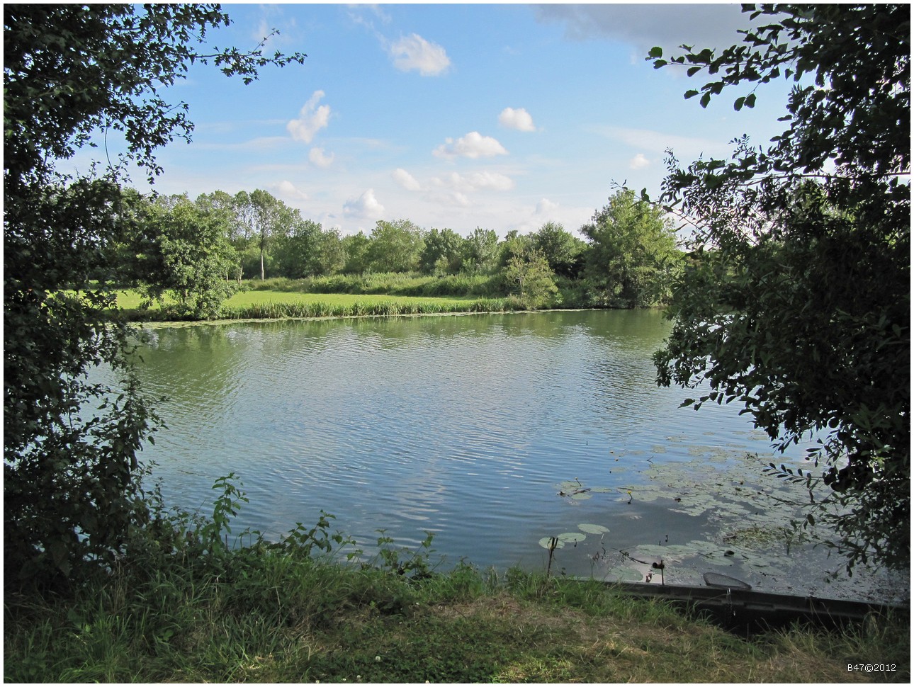
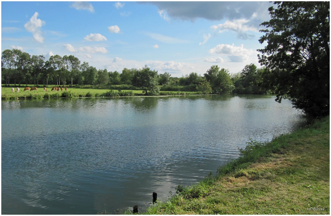
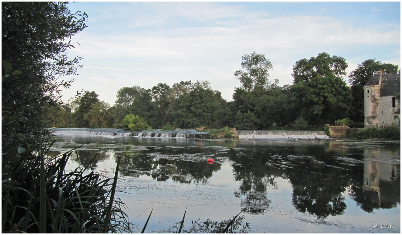
View on the Loir in La Flèche
Arthezé 26.12.2014 001
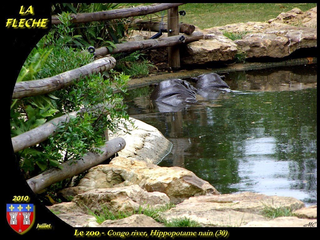
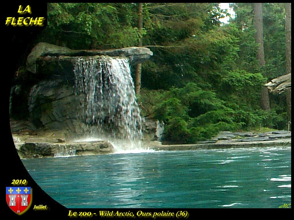
Zoo de La Flèche 26.12.2014 184

Arthezé 25.12.2014 IMG_6910

Viñedo
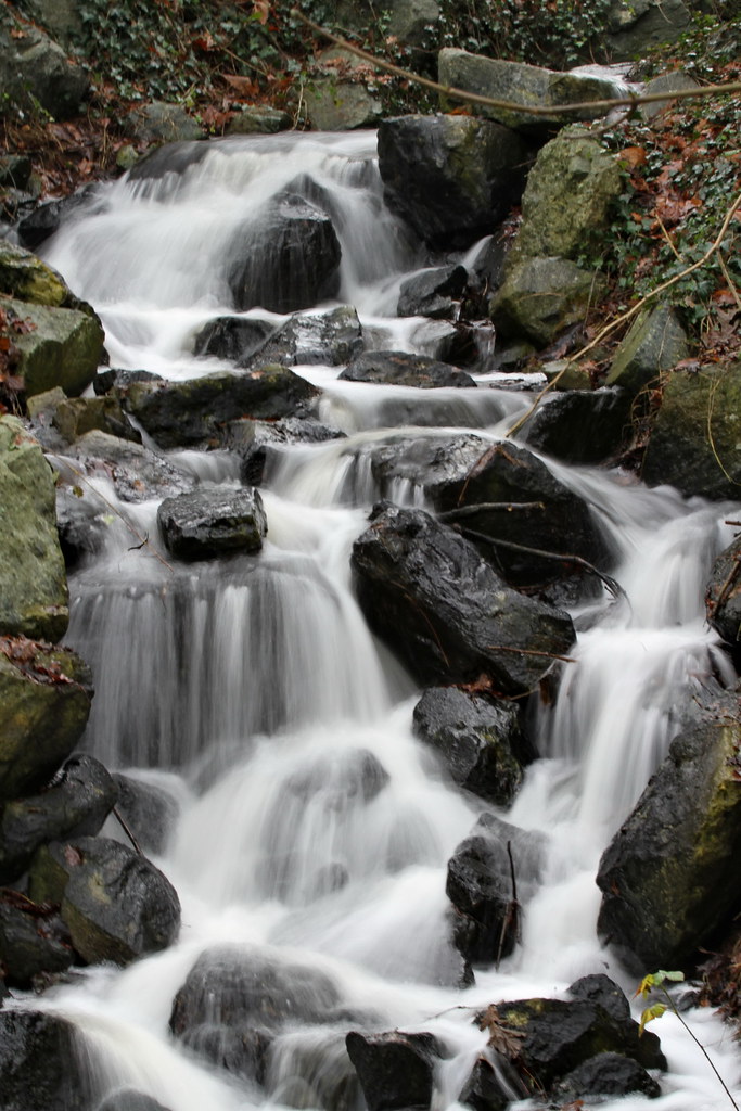
Le Loire - Lunge Pringe - Frankrijk

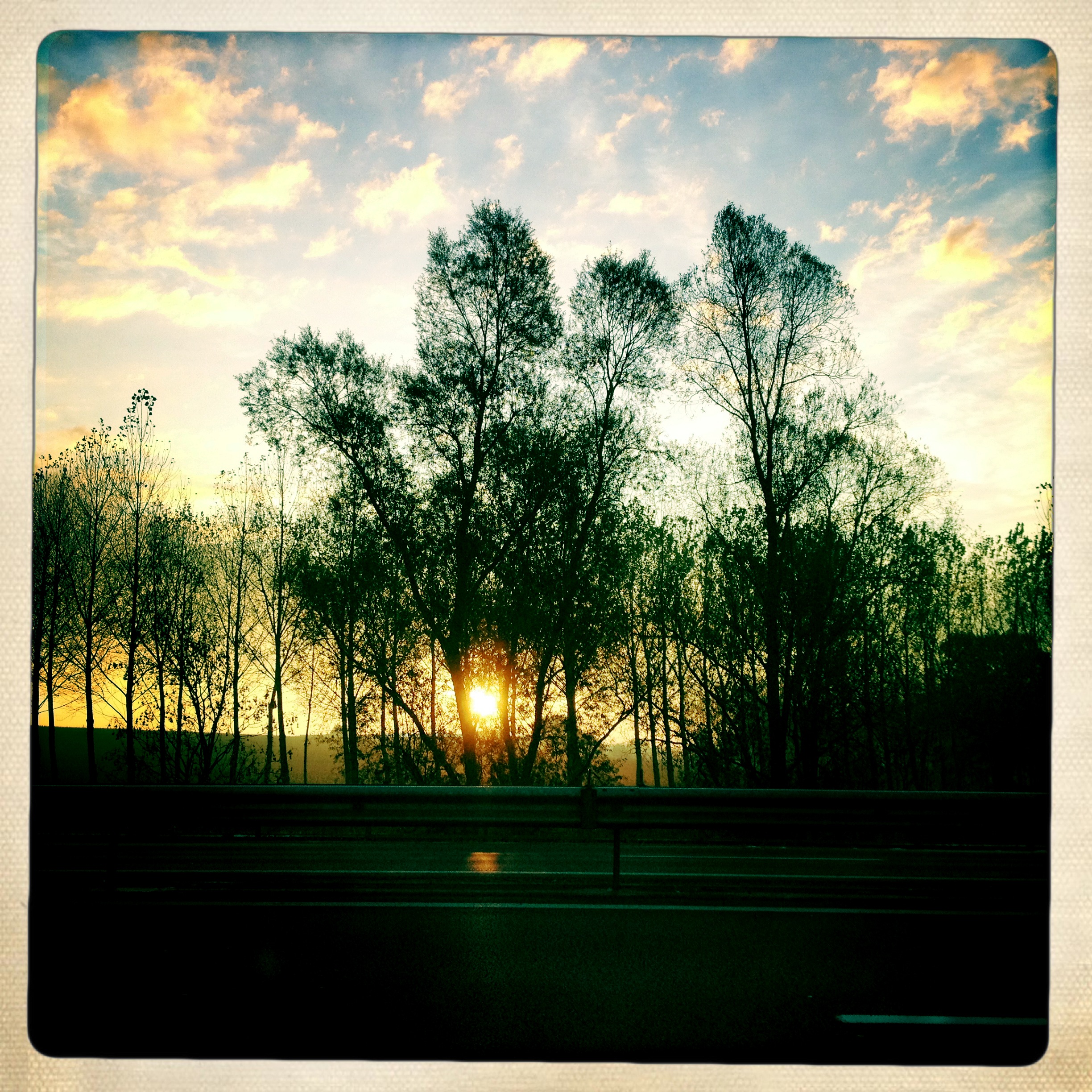
Une simple route
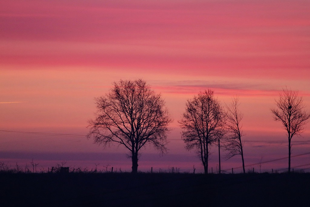
Lunge Pringe - Frankrijk
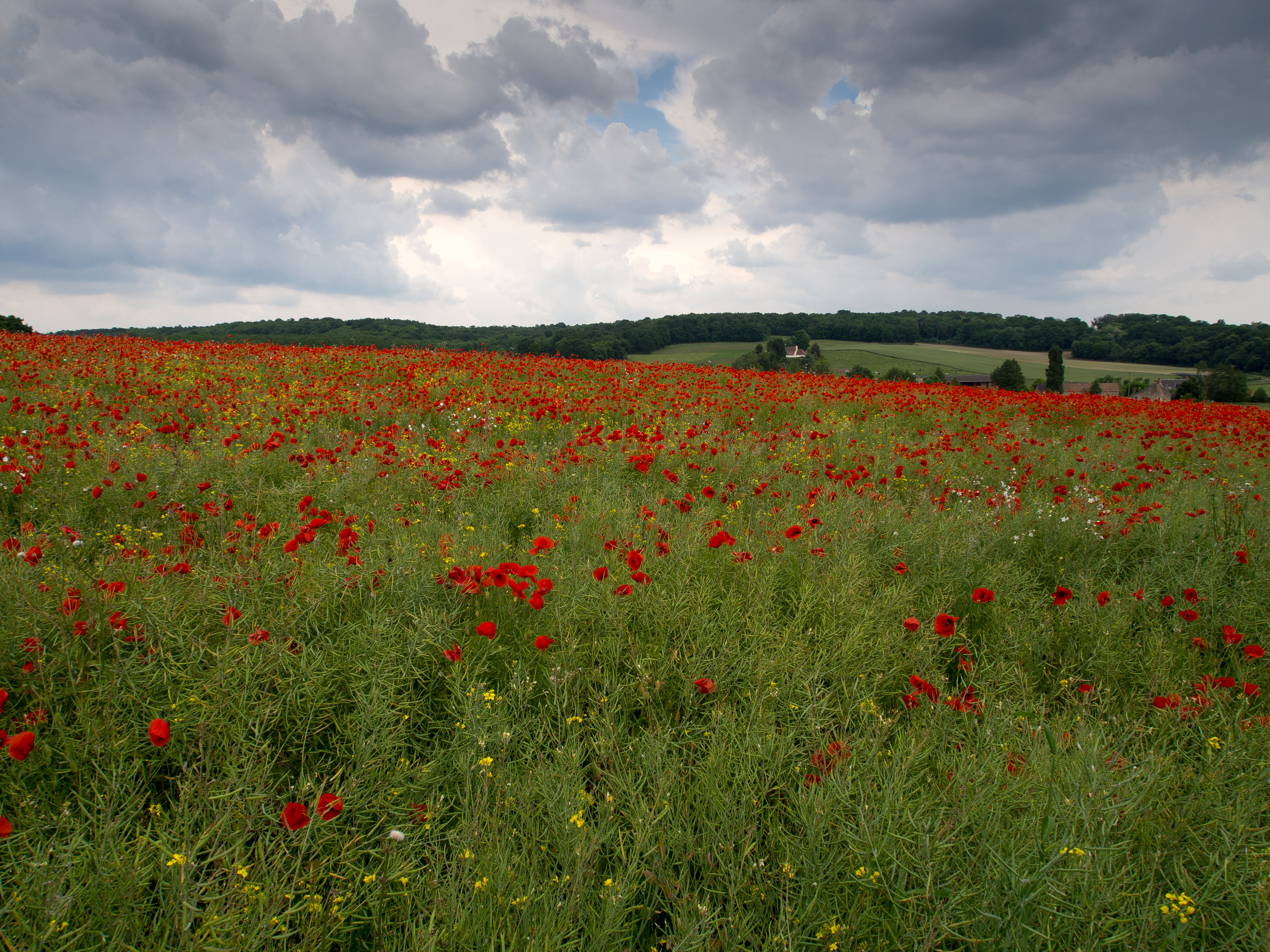
Champ de coquelicots
Lunge Pringe - Frankrijk
Mansigné 005

Painted Lady
Le Loire - Lunge Pringe - Frankrijk
Camping La Chabotiere - Lunge-Pringe - Frankrijk
La Flèche-2010_07-A414
Mansigné 010
Mansigné 007
Say hello to the Sun
Camping La Chabotiere - Lunge-Pringe - Frankrijk
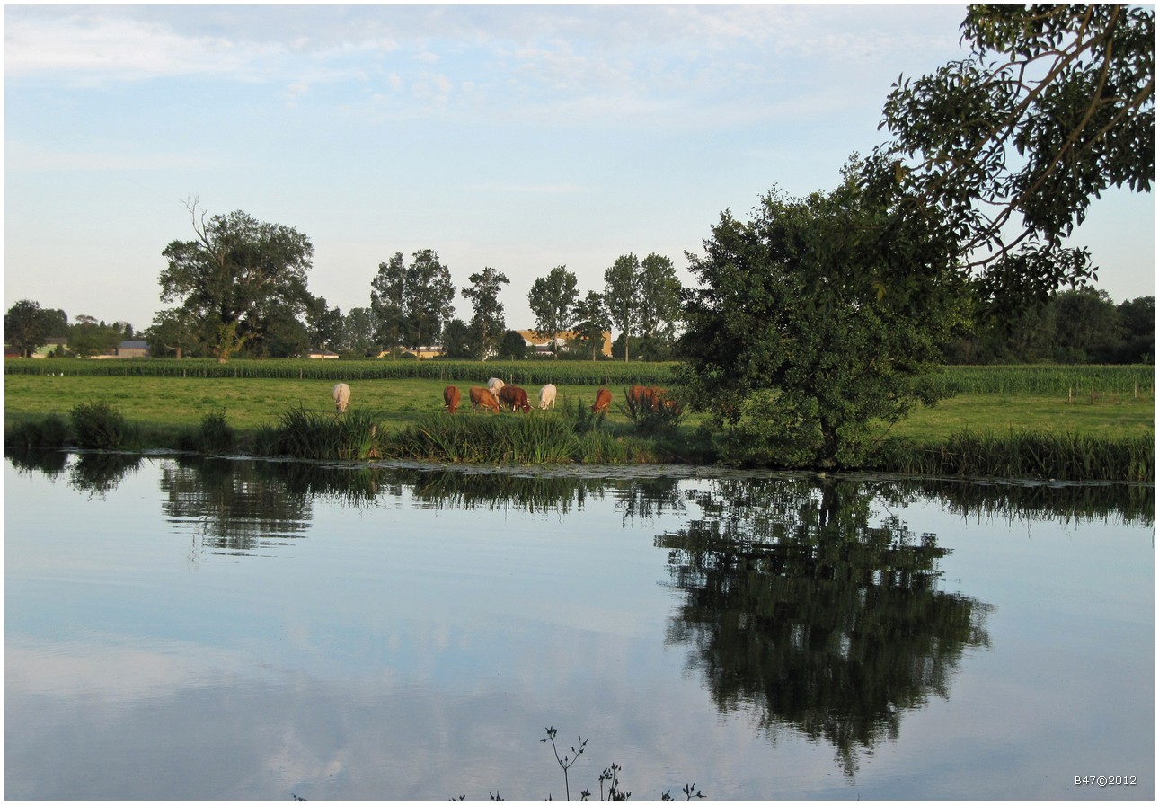
Le Loire - Lunge Pringe - Frankrijk
La Flèche-2010_07-A476
Le Loire - Lunge Pringe - Frankrijk
Topographic Map of Ligron, France
Find elevation by address:

Places in Ligron, France:
Places near Ligron, France:
5 Rue François Tricard, Ligron, France
1 Les Suhardières, Marigné-Laillé, France
Château-la-vallière
1 Rue du Chemin Vert, Château-la-Vallière, France
Montabon
8 Rue des Caves, Montabon, France
Allonnes
1 Pl. de l'Eglise, Clère-les-Pins, France
Cléré-les-pins
Varennes-sur-loire
12 Rue du Bas Chavigny, Varennes-sur-Loire, France
Turquant
4 Rue des Martyrs, Turquant, France
La Chapelle-sur-loire
2 Rue André Obey, Montsoreau, France
Montsoreau
Saint-patrice
12 Rue des Rochereaux, La Chapelle-sur-Loire, France
15 Route de la Loire, Saint-Patrice, France
5 Route des Etangs, Cinq-Mars-la-Pile, France
Recent Searches:
- Elevation of Royal Ontario Museum, Queens Park, Toronto, ON M5S 2C6, Canada
- Elevation of Groblershoop, South Africa
- Elevation of Power Generation Enterprises | Industrial Diesel Generators, Oak Ave, Canyon Country, CA, USA
- Elevation of Chesaw Rd, Oroville, WA, USA
- Elevation of N, Mt Pleasant, UT, USA
- Elevation of 6 Rue Jules Ferry, Beausoleil, France
- Elevation of Sattva Horizon, 4JC6+G9P, Vinayak Nagar, Kattigenahalli, Bengaluru, Karnataka, India
- Elevation of Great Brook Sports, Gold Star Hwy, Groton, CT, USA
- Elevation of 10 Mountain Laurels Dr, Nashua, NH, USA
- Elevation of 16 Gilboa Ln, Nashua, NH, USA