Elevation of Lighthouse Ln, Green Pond, SC, USA
Location: United States > South Carolina > Green Pond >
Longitude: -80.469894
Latitude: 32.559471
Elevation: 4m / 13feet
Barometric Pressure: 101KPa
Elevation Map:
Satellite Map:
Related Photos:
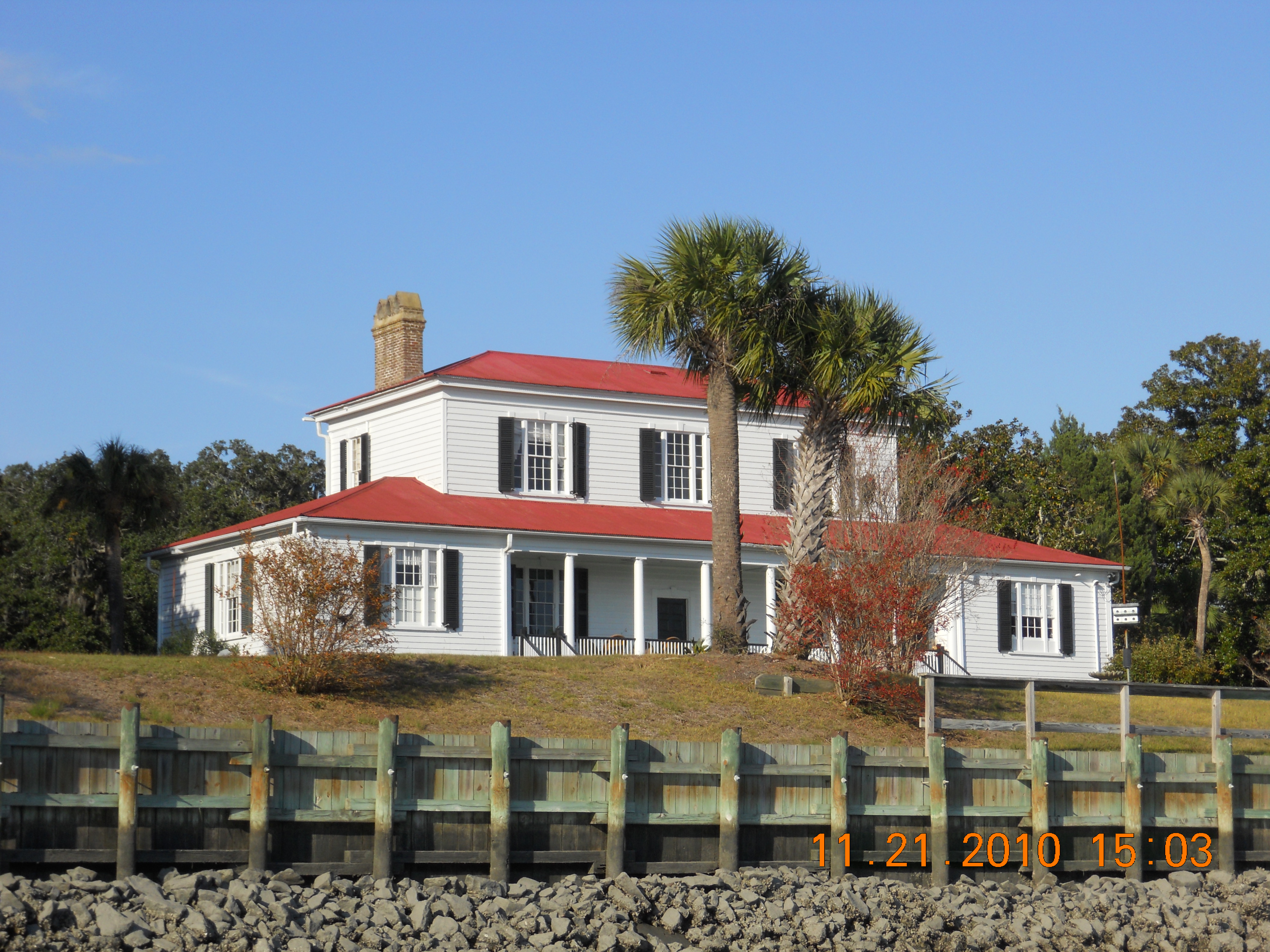
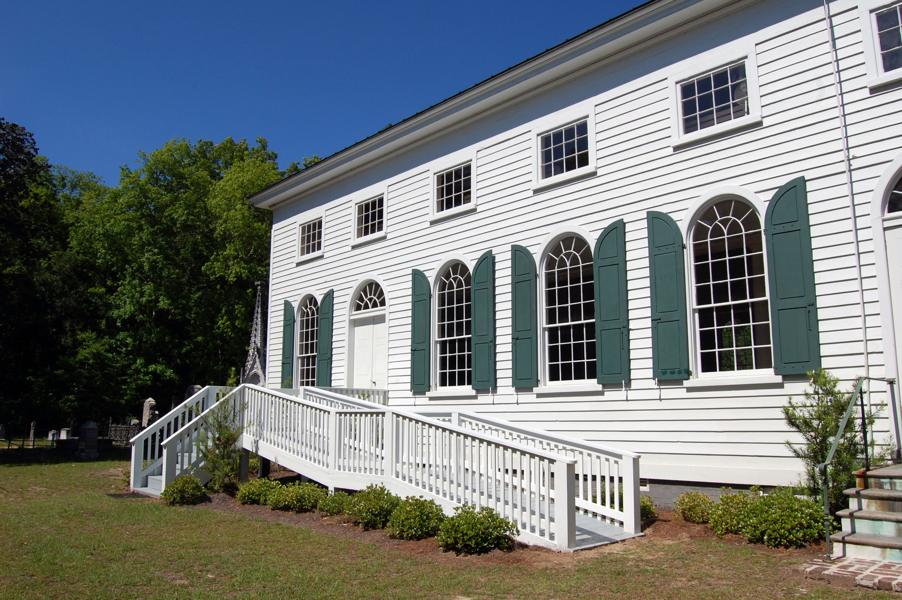
Holland-Low Home
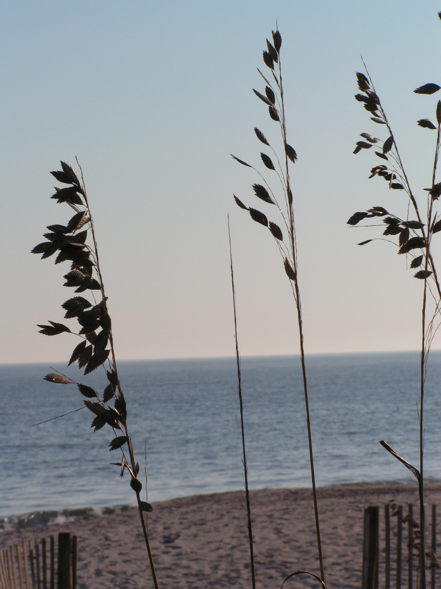
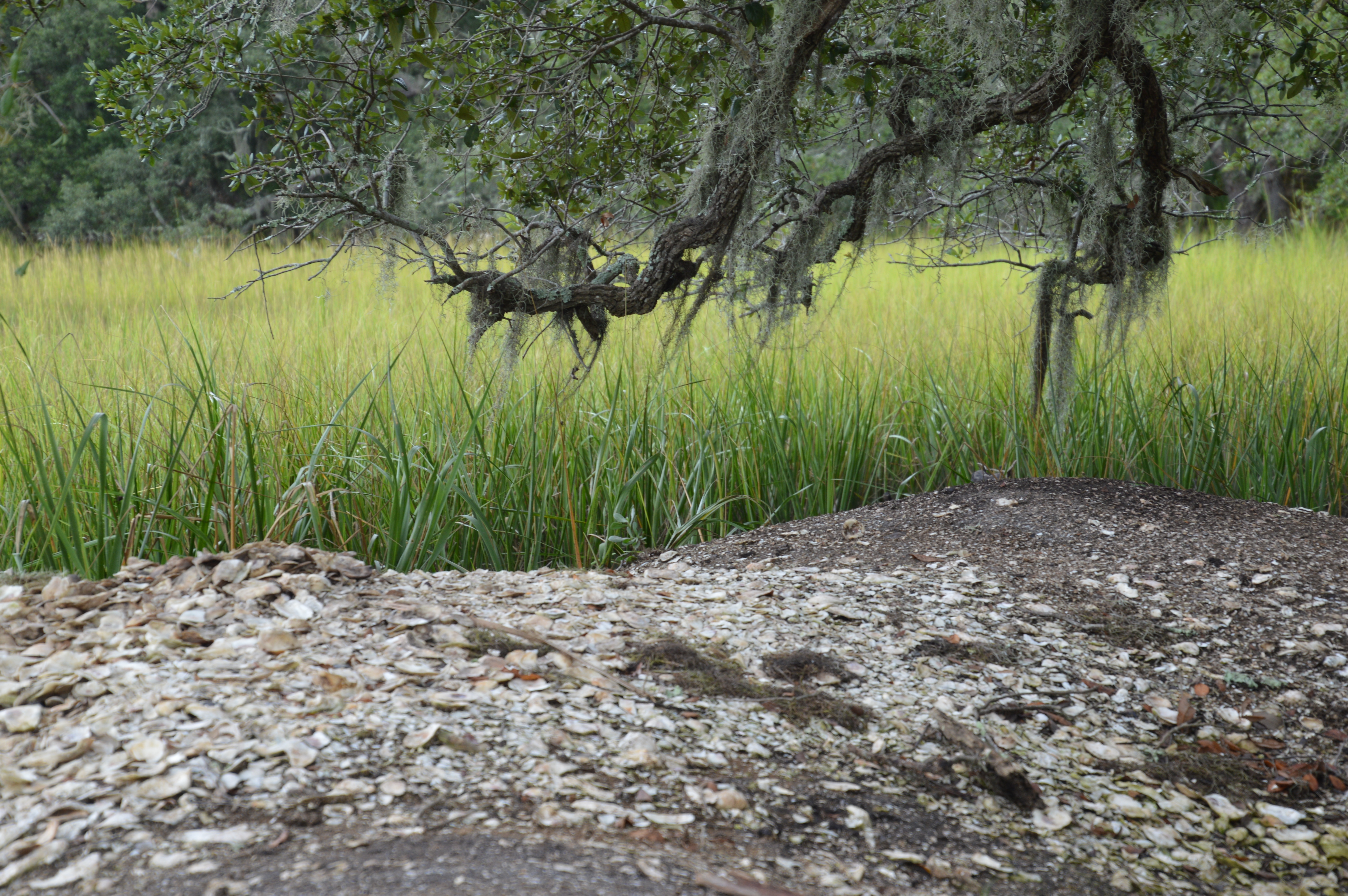
weed's eye view
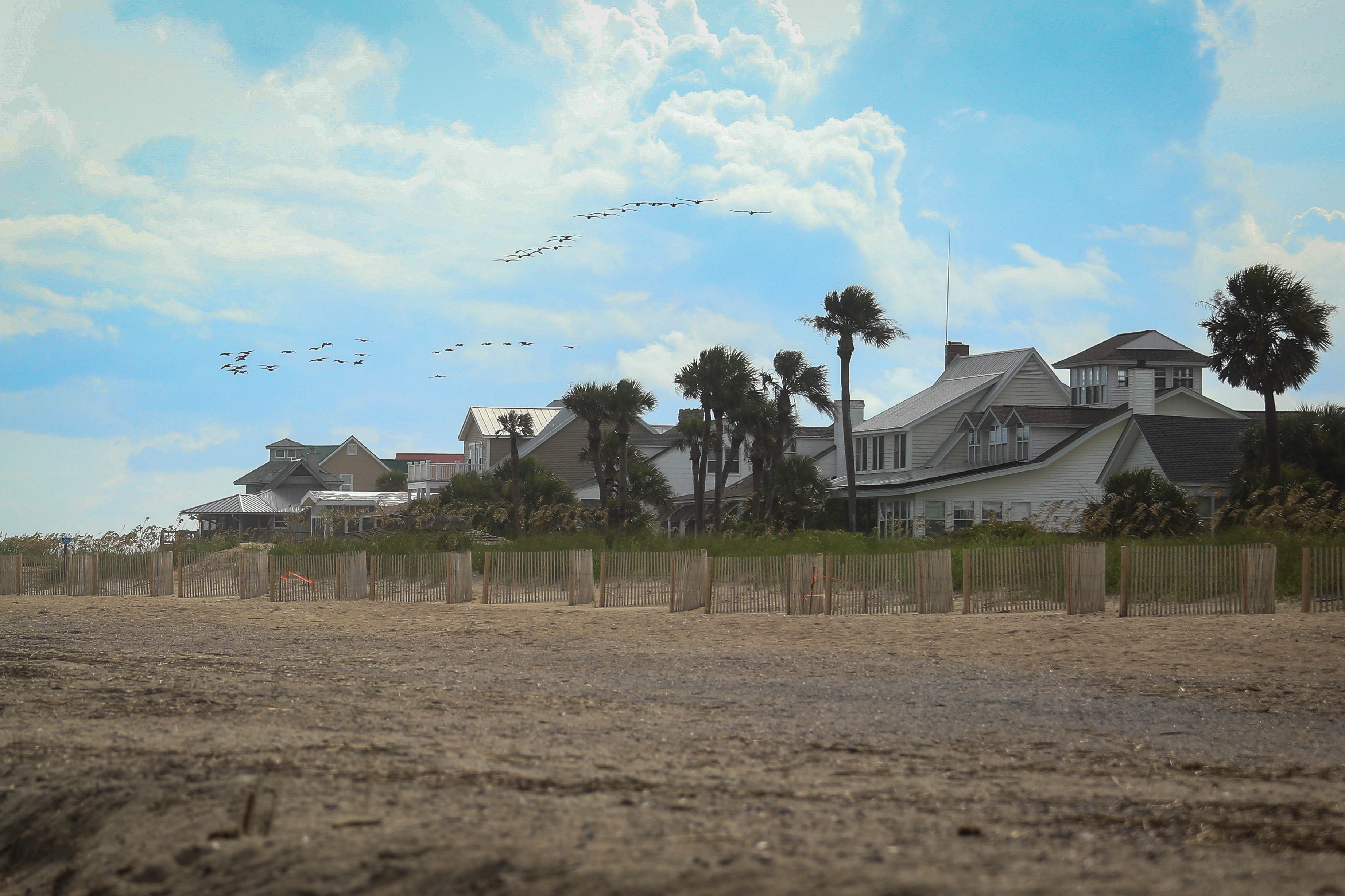
Beach view - Edisto Beach, S.C.
Middleton Plantation (view from Store Creek, Edisto Island, SC)
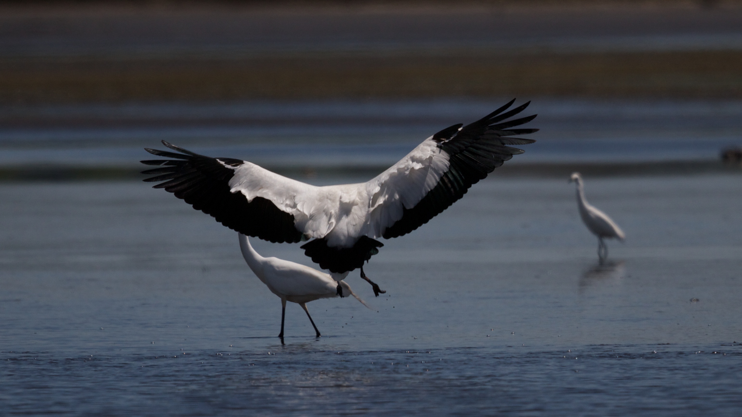
Wood Stork Landing - Side View
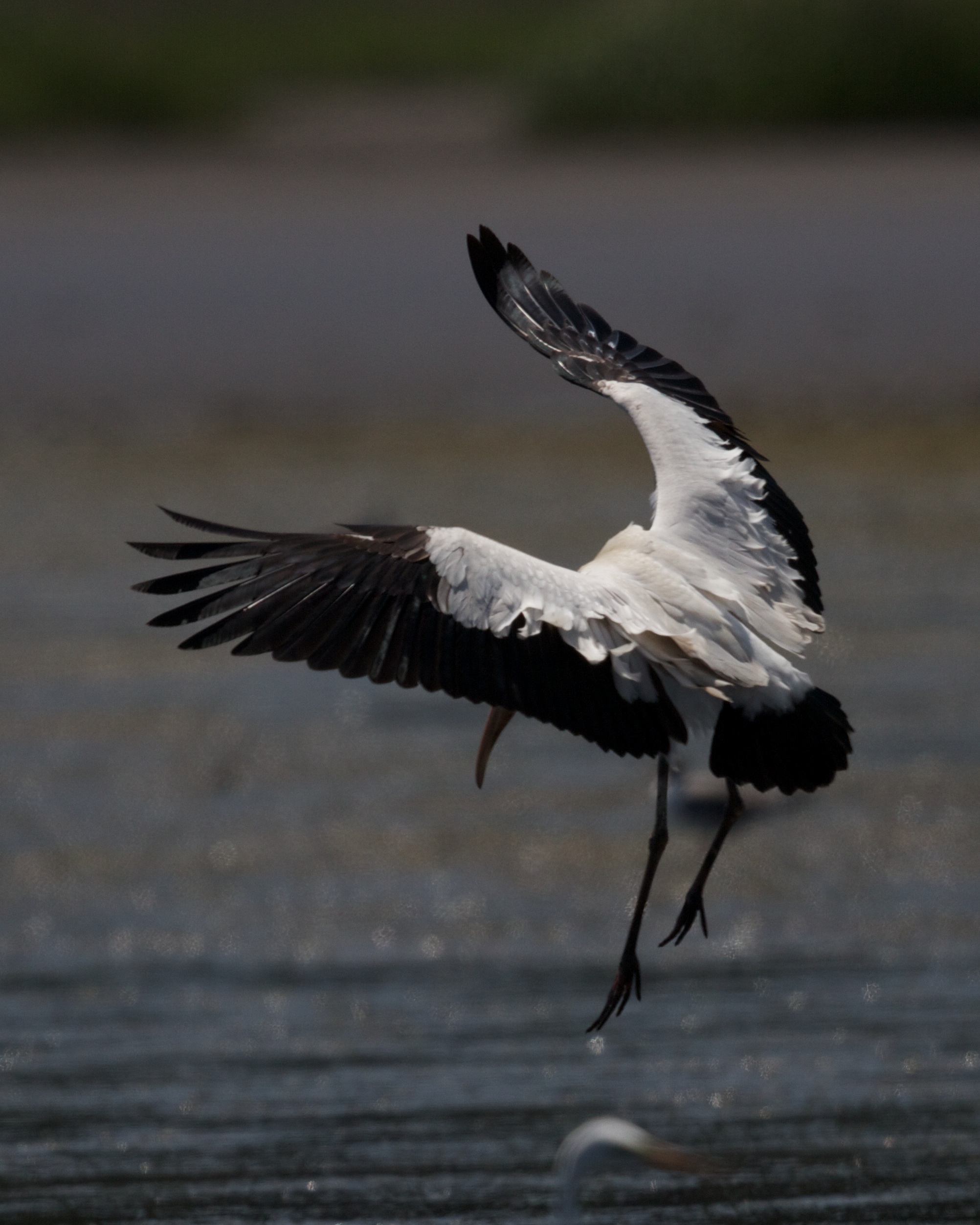
Wood Stork Landing - Wings outstretched
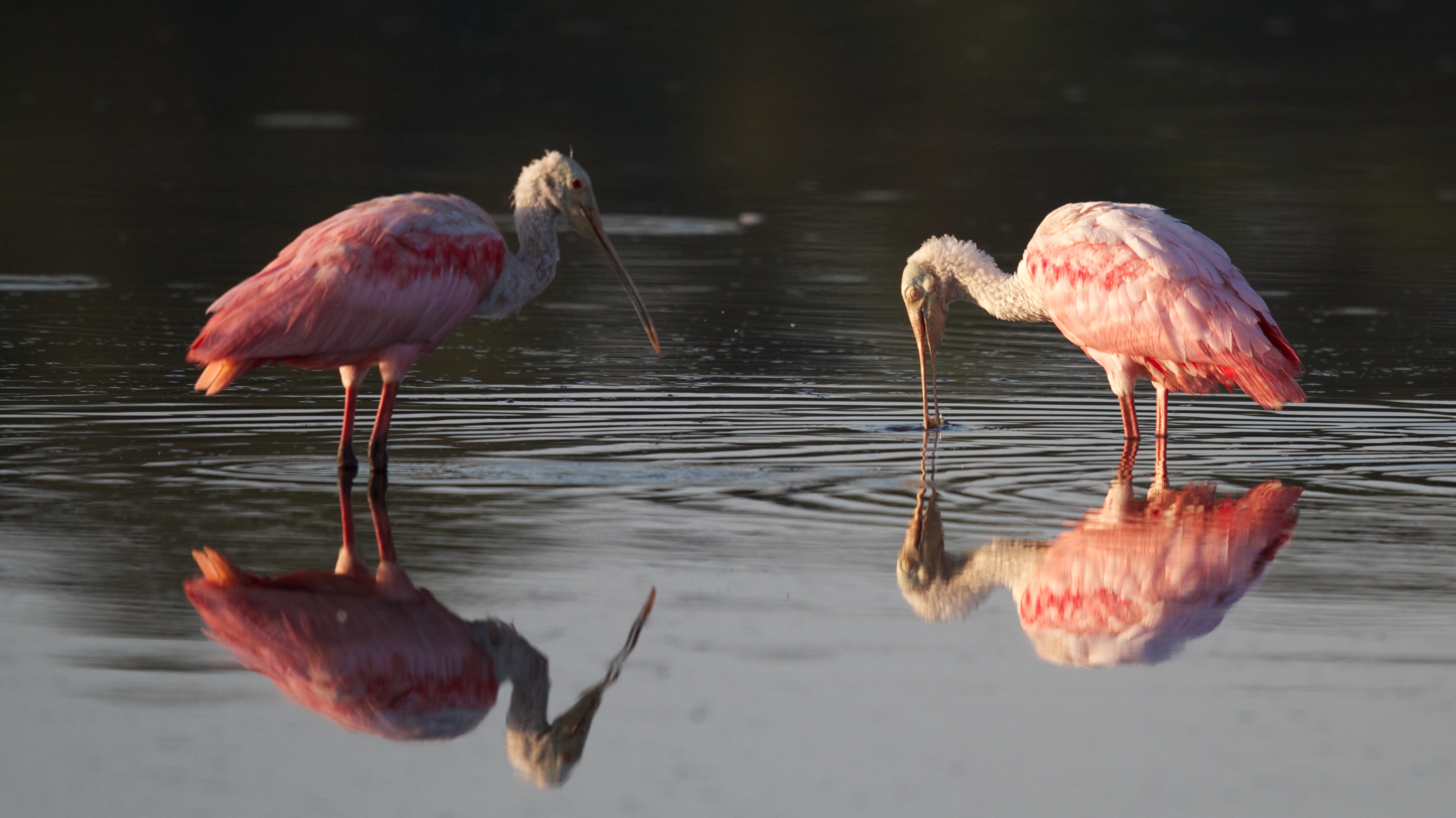
Roseate Spoonbills feeding
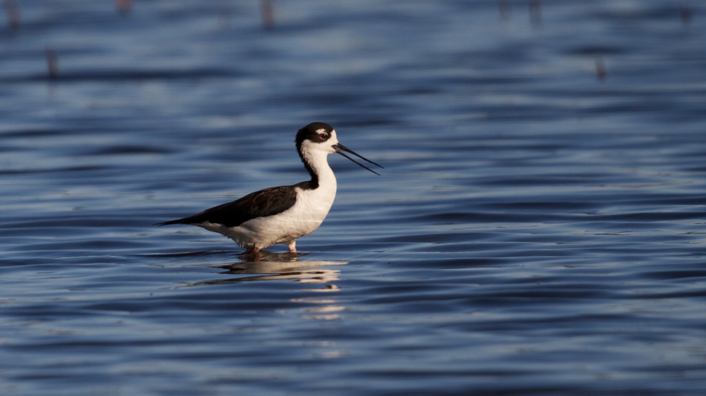
Wading Black-necked Stilt

Greater Yellowlegs
Edisto Island
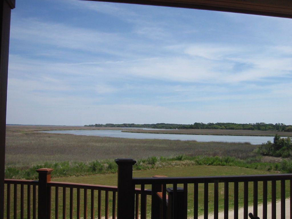
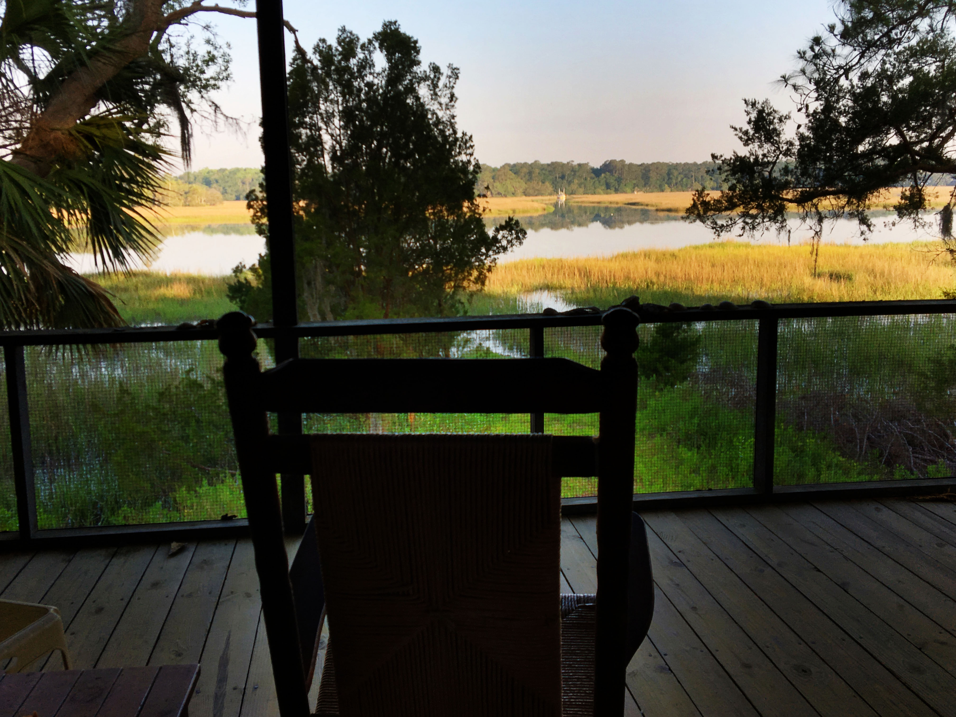
I could get used to seeing this view every morning.
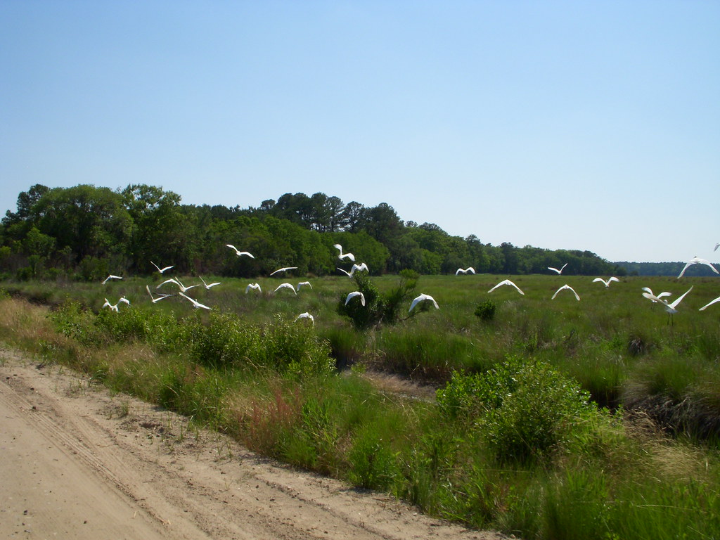
White Birds
porch view shrimpboat
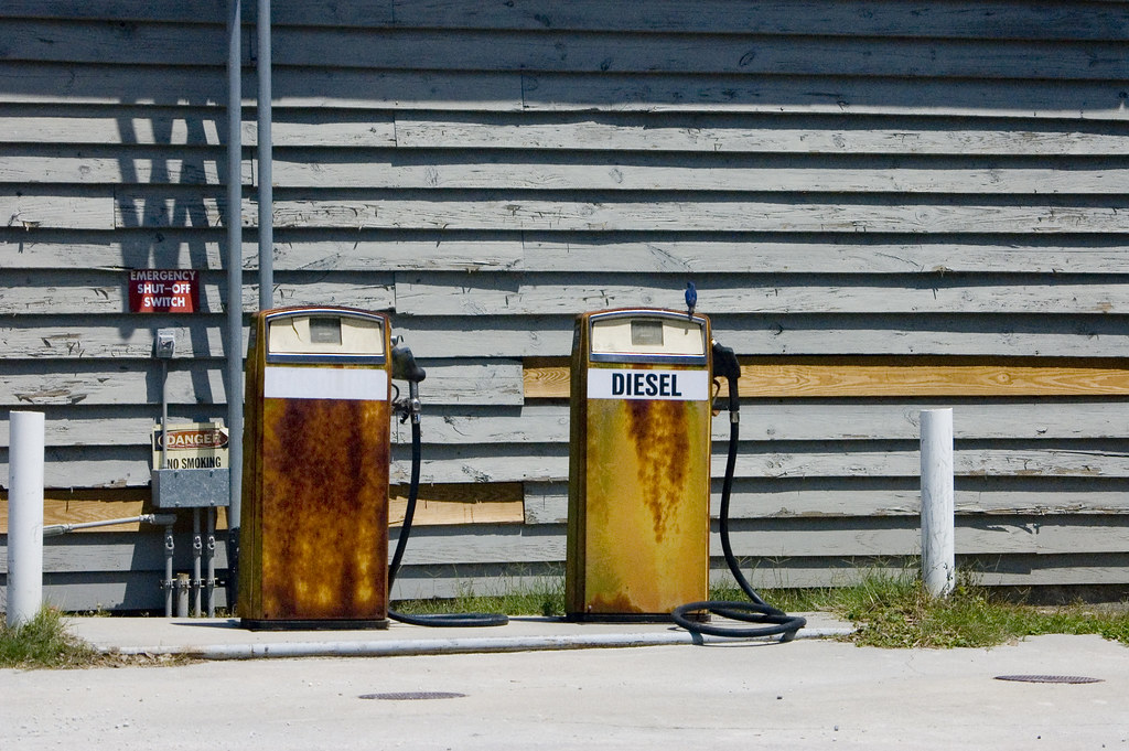
Bluebird and Diesel
Spanish Mount Point
At Spanish Mount Point

Spanish Mount Point
Charleston coast
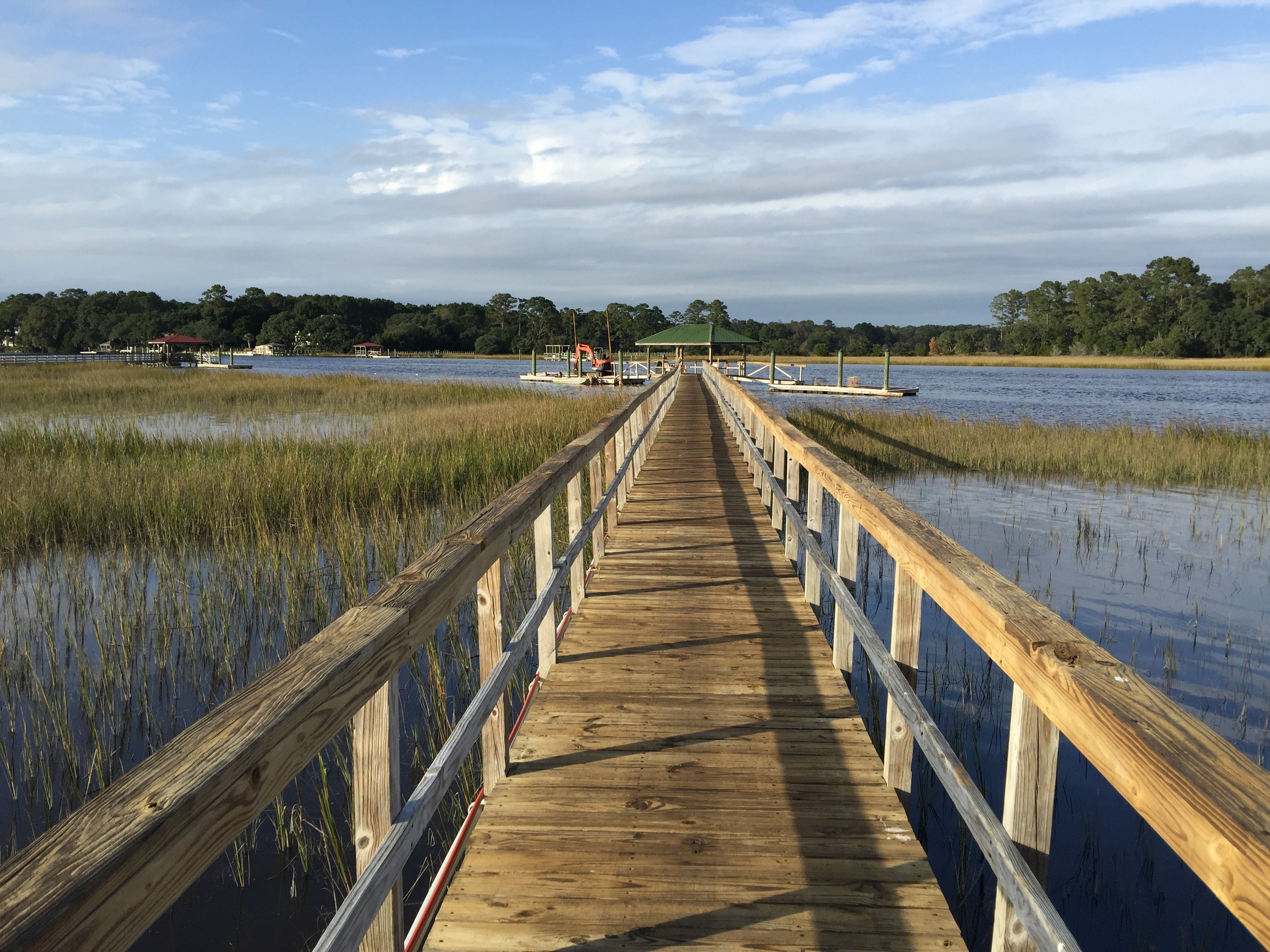
Edisto Island
43 Bennetts Point RD Green Pond SC 6871
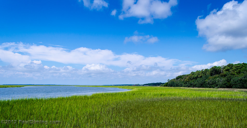
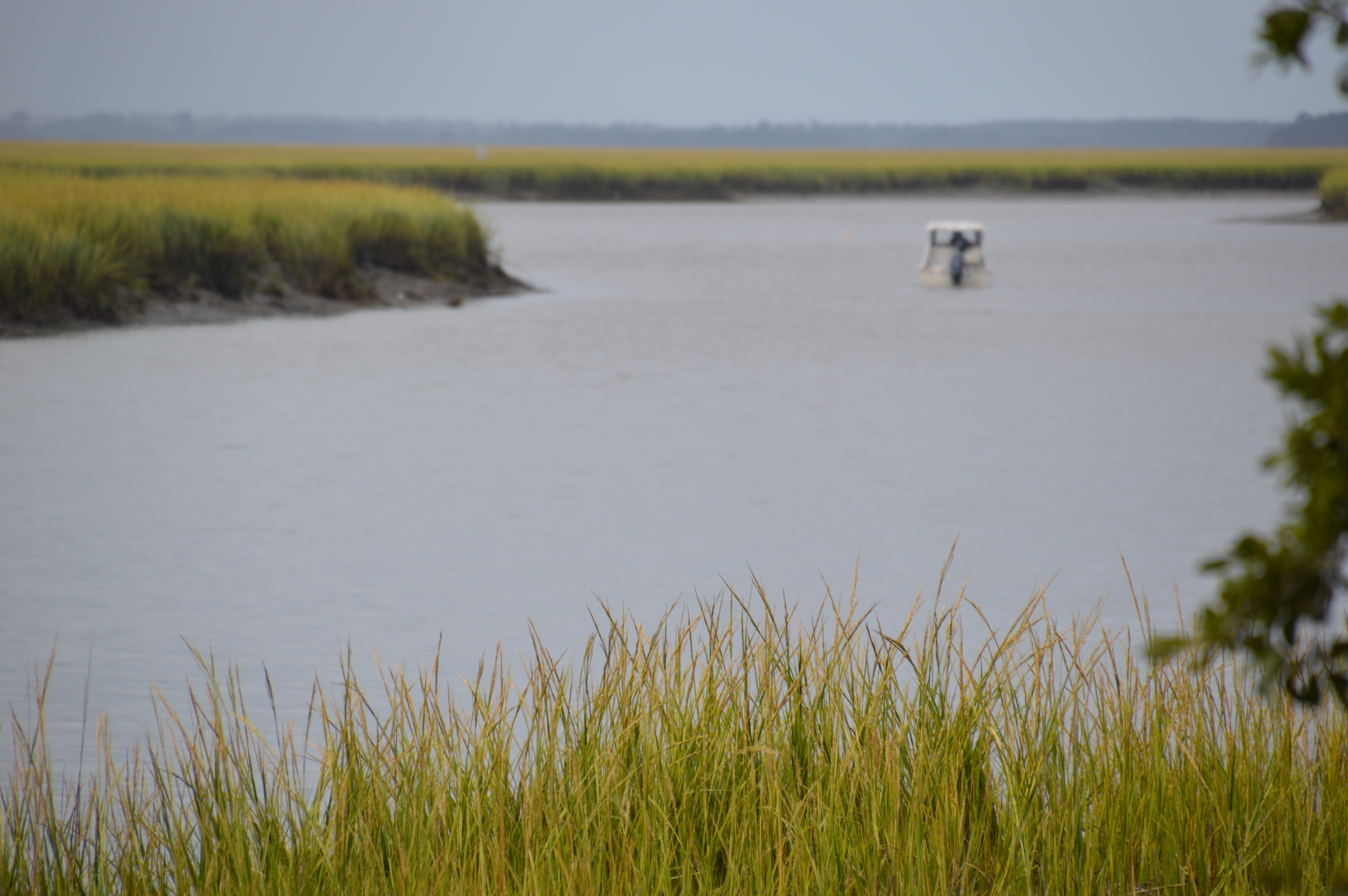
ACE Basin Estuary - Wadmalaw River, Edisto Island State Park, Edisto Island, SC
At Spanish Mount Point
E.F. Hollings National Wildlife Refuge - Colleton Co, S.C.
deceptive calm
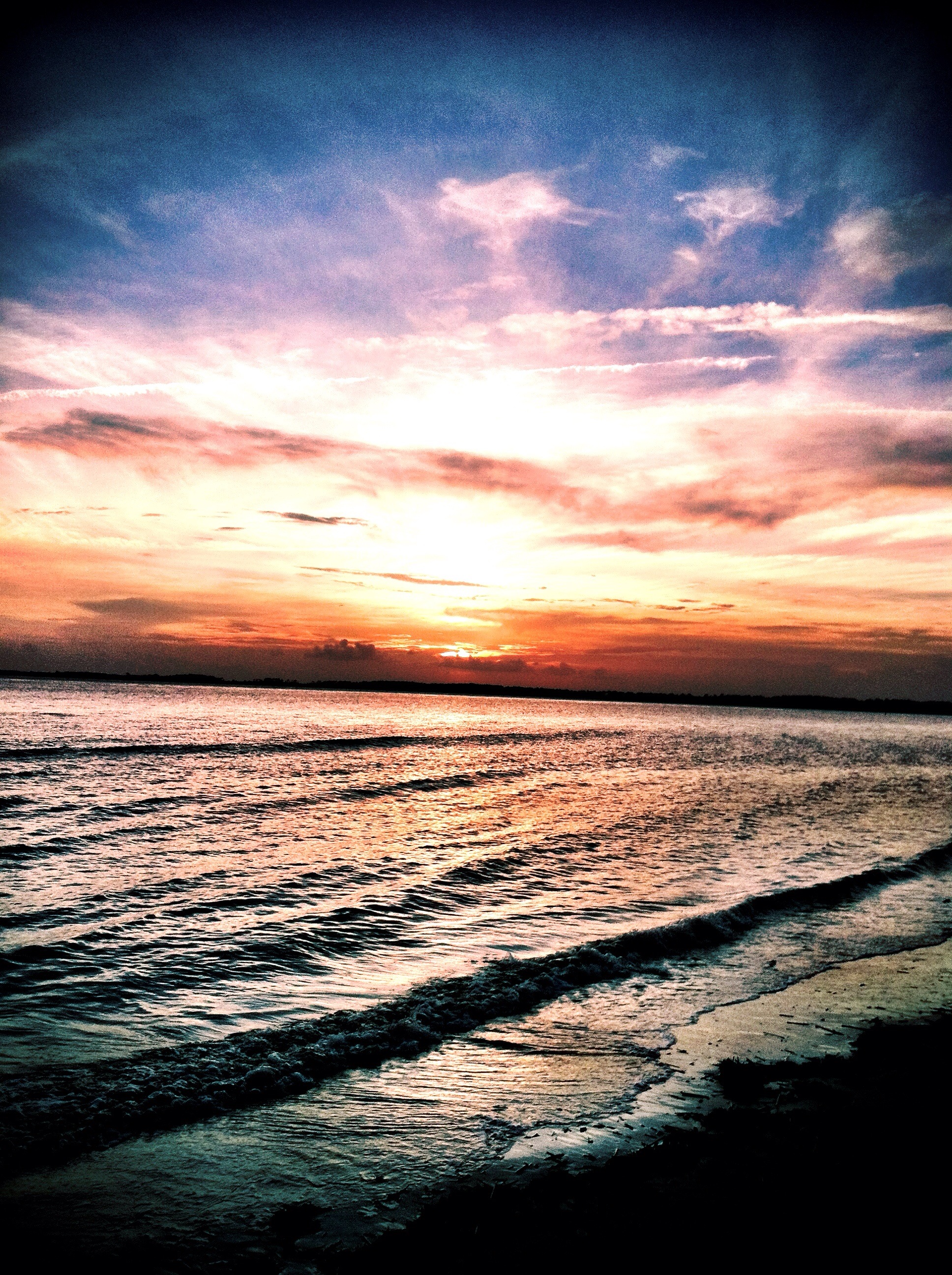
Sunset off Edisto Island, SC
03 Bennetts Point RD Green Pond SC 6830
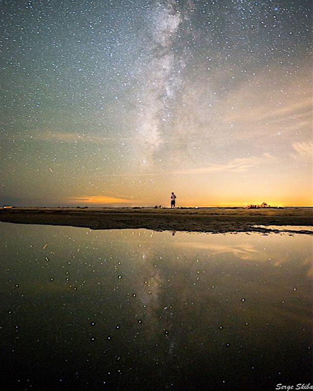
Getting away from the traffic, the crowds, social media, and the daily grind and in to a place of solitude is the best way to energize the soul. Taken on the edge of #southcarolina #milkyway #discoversc #theoutbound #theglobewanderer #ocean #edisto
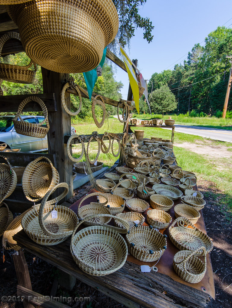
Sweetgrass Baskets, Edisto Island, SC
36 Bennetts Point RD Green Pond SC 6864
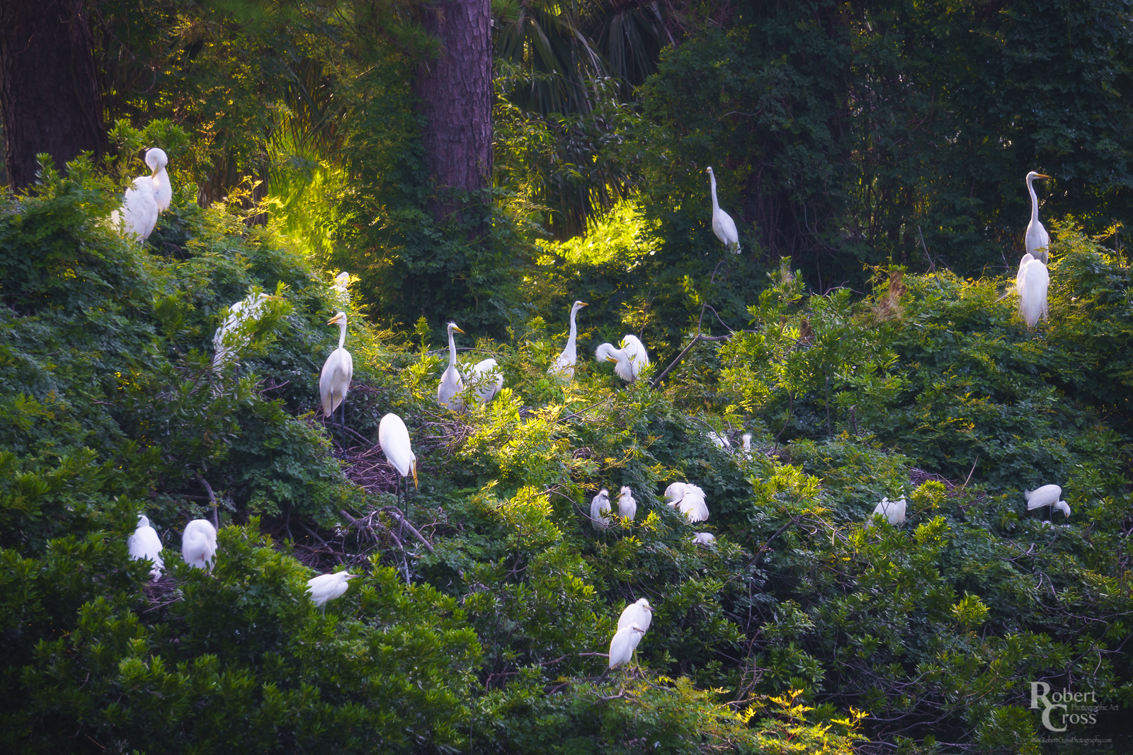
The Dataw Rookery

Edisto Island, SC
Live Oaks
Live Oak tunnel - Ernest F. Hollings Nat'l Wildlife Refuge, S.C.
Edisto Sunset
Edisto Panorama
Topographic Map of Lighthouse Ln, Green Pond, SC, USA
Find elevation by address:

Places near Lighthouse Ln, Green Pond, SC, USA:
52 Marshside Ln
15136 Bennetts Point Rd
157 Leisure Ln
15487 Bennetts Point Rd
4 Bennetts Point Rd, Green Pond, SC, USA
Raccoon Island Rd, Edisto Island, SC, USA
2145 Bailey Island Ln
8610 Raccoon Island Rd
Raccoon Island Rd, Edisto Island, SC, USA
Crooked Creek Road
8248 Crooked Creek Ln
8715 Middleton Point Ln
2548 Sc-174
2544 Sc-174
Parkers Ferry Rd, Hollywood, SC, USA
8897 Palmetto Rd
8953 Sandy Creek Rd
Carol Ann Dr, Edisto Island, SC, USA
1499 Marsh Bluff Ct
Marsh Bluff Court
Recent Searches:
- Elevation of N WI-55, Freedom, WI, USA
- Elevation map of Hadiya, Ethiopia
- Elevation of Hosaina, Ethiopia
- Elevation of Verde Terrace, North Port, FL, USA
- Elevation of US-, Leesburg, FL, USA
- Elevation of Summit Dr, Kerrville, TX, USA
- Elevation of Hanson Rd, Cedaredge, CO, USA
- Elevation of Maxine St NE, Albuquerque, NM, USA
- Elevation of Blattner Rd, Philo, CA, USA
- Elevation of Polzela, Slovenia