Elevation of Lielvārde Municipality, Latvia
Location: Latvia >
Longitude: 24.9711618
Latitude: 56.7392976
Elevation: 80m / 262feet
Barometric Pressure: 100KPa
Elevation Map:
Satellite Map:
Related Photos:
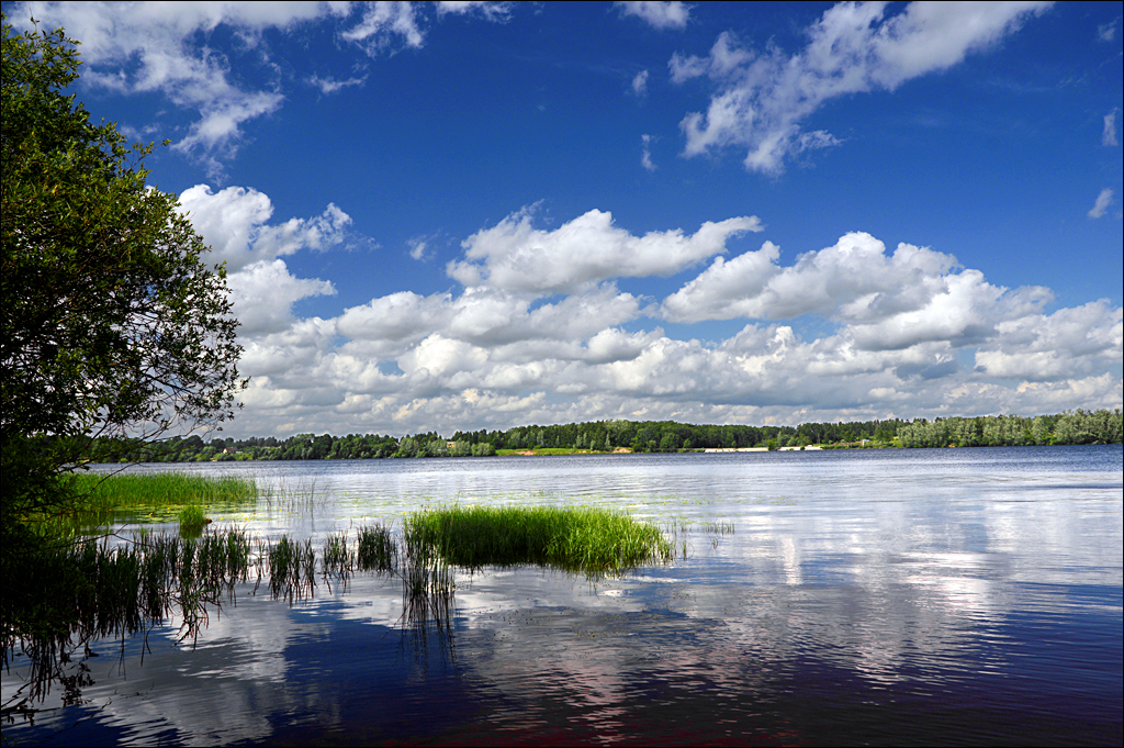
View of the Daugava from Linde's Park

view out window
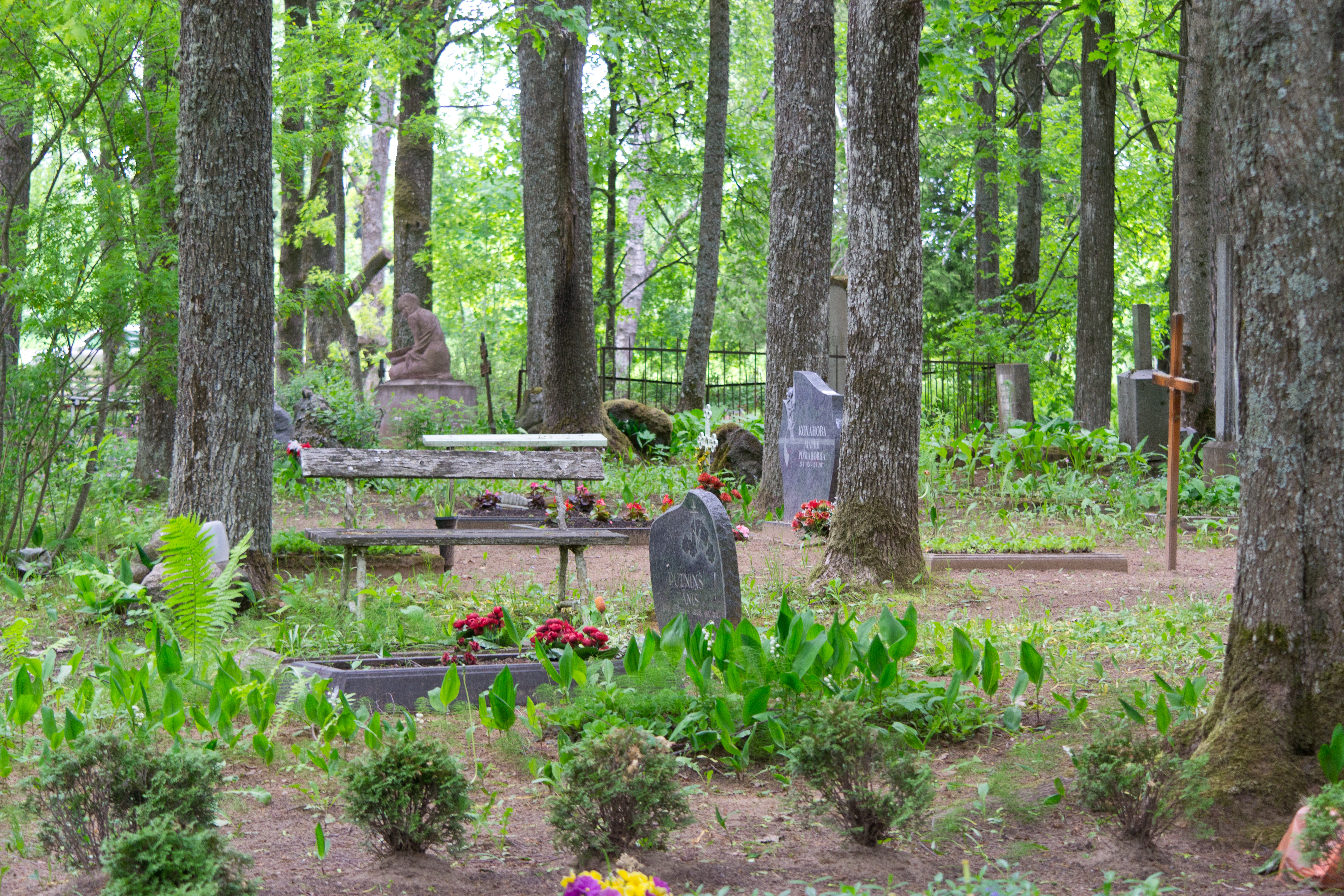
view of cemetery
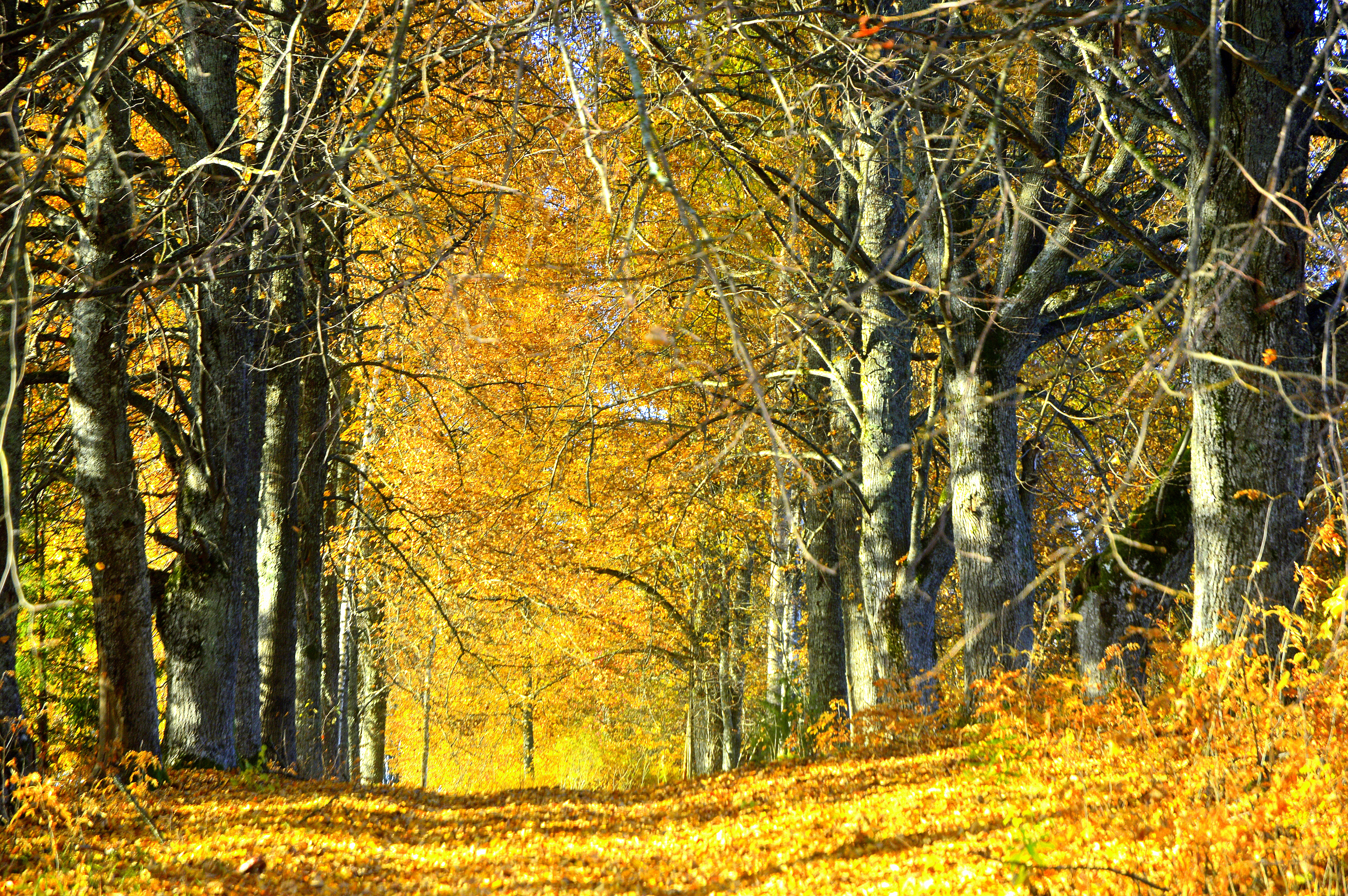
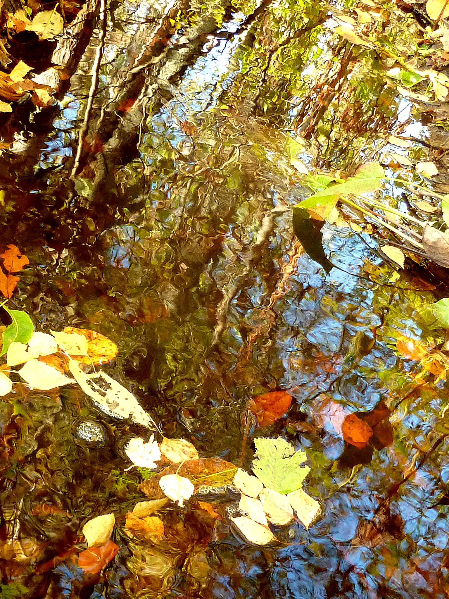
Golden leaves

Morning fog

Skriveri winter landscape #Flickr12Days

The Queen's Alley :)

A breeze
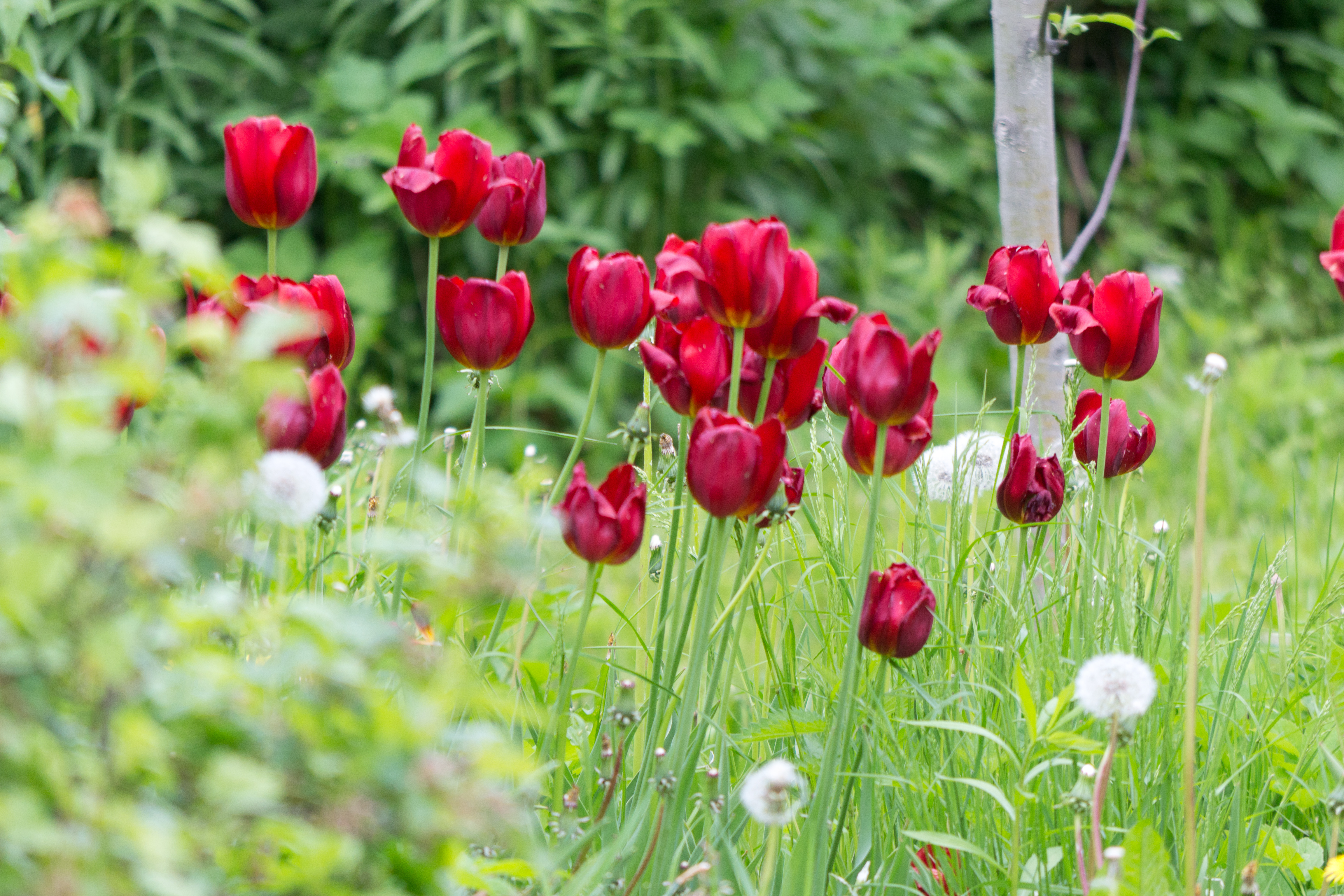
tulips in Zinas garden
Linde's Park
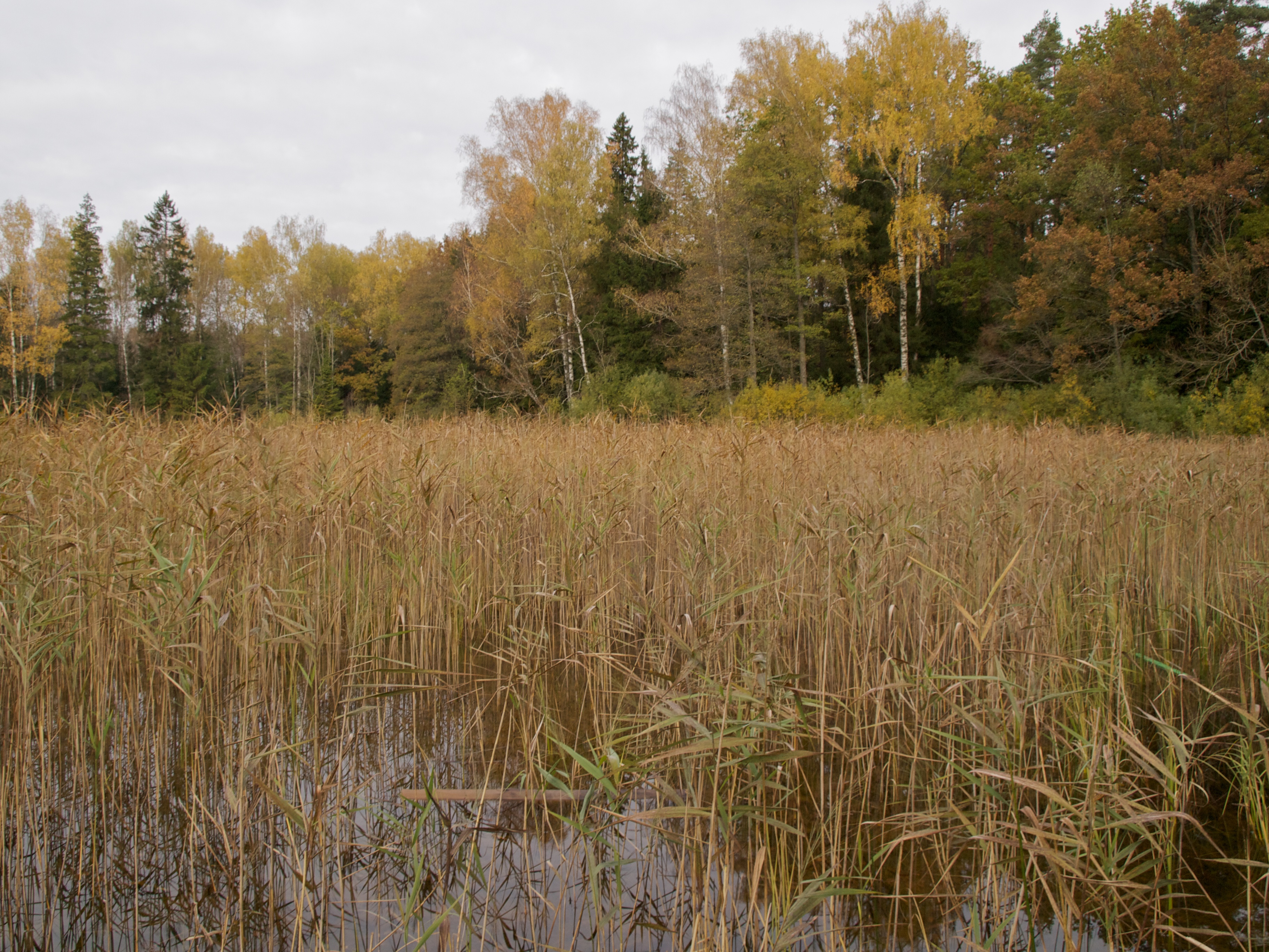
Colorful autumn....
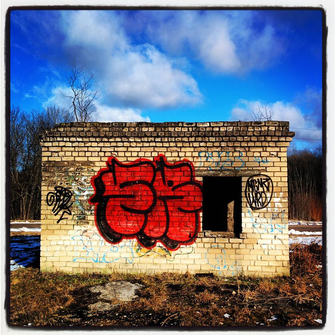
small house
Different Colours

Let me just wait here.
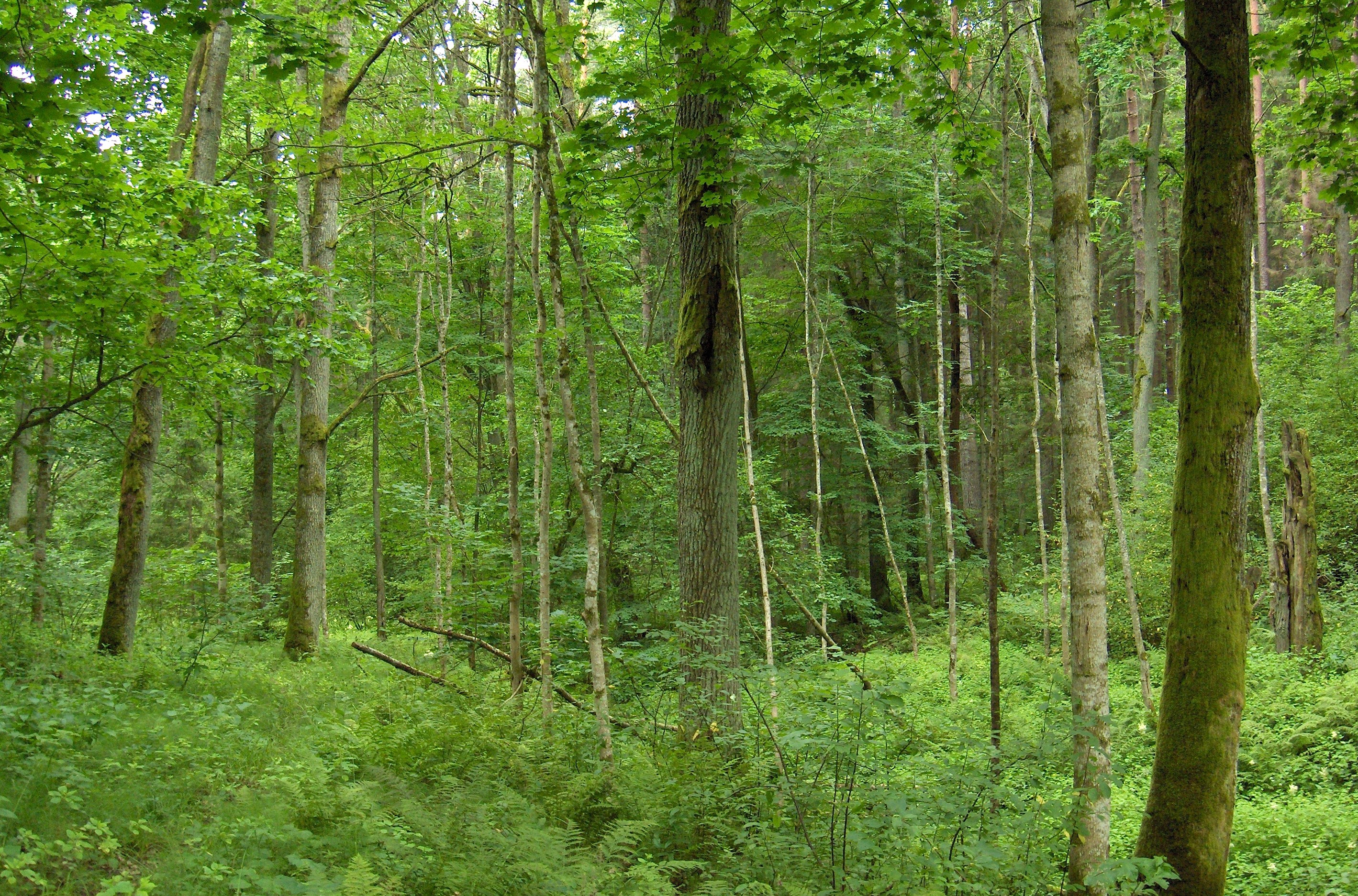
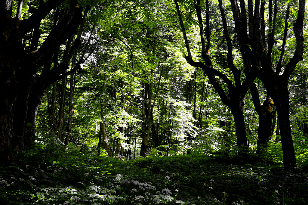
Latvian forest
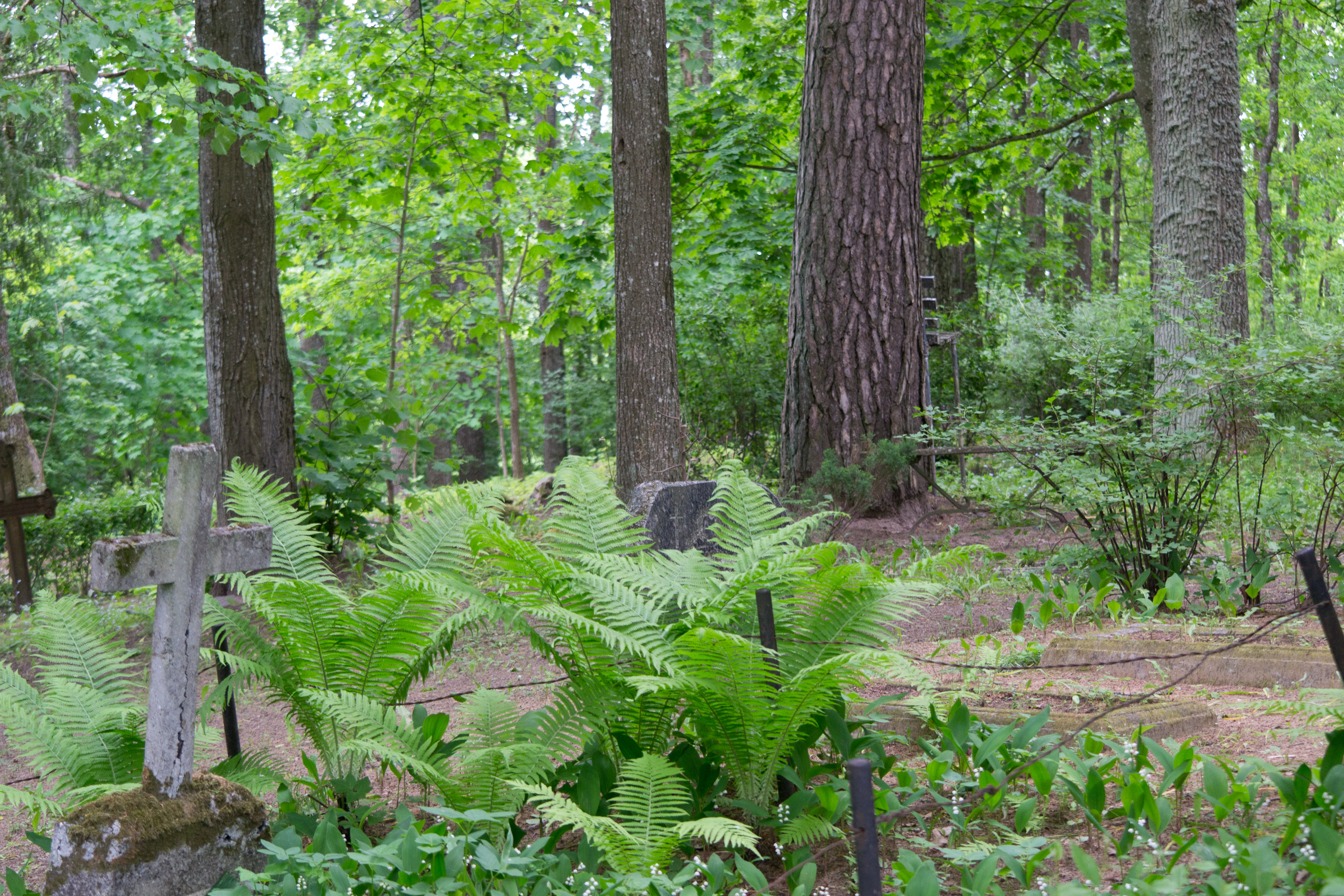
cemetery in the woods
trees by the cemetery

Frozen & Quiet
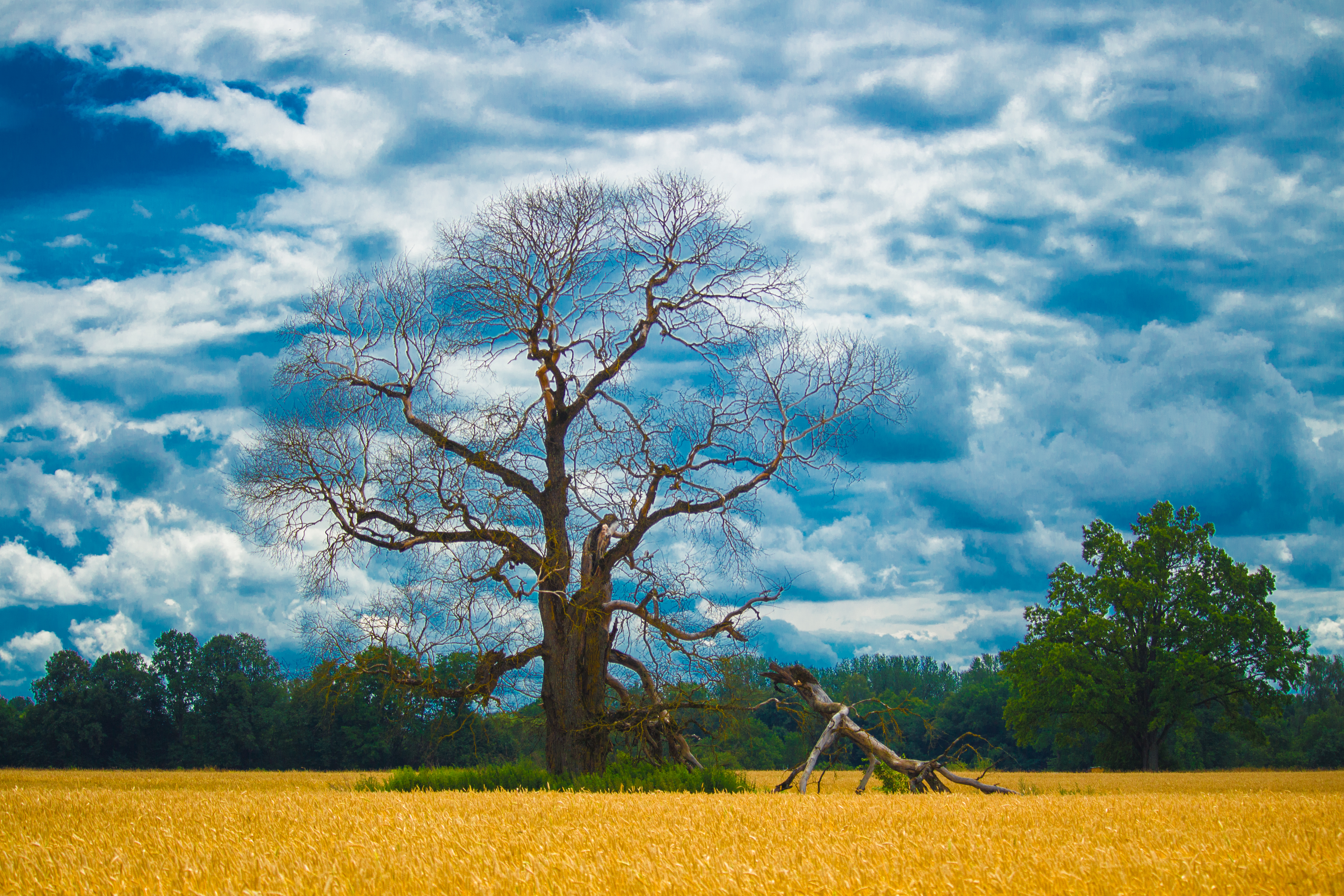
Old Tree
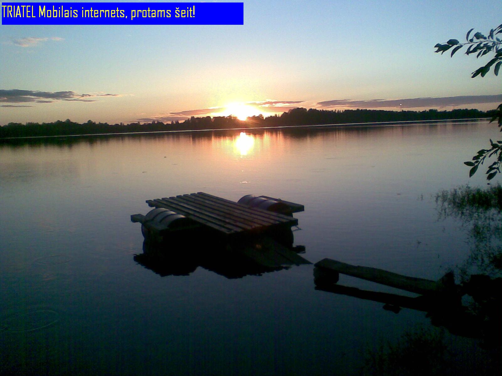
Pie saulrieta!
Topographic Map of Lielvārde Municipality, Latvia
Find elevation by address:

Places in Lielvārde Municipality, Latvia:
Places near Lielvārde Municipality, Latvia:
Jumpravas Pagasts
Jumprava
Neatkarības iela 12, Jumprava, Jumpravas pagasts, LV-, Latvia
Saulkrastu Iela
Oškalna Iela
Papardes
Aizkraukle
Ošu iela 9, Allaži, Allažu pagasts, LV-, Latvia
Ogres Pilsēta
Ogre
Latvia
Krasta iela 64, Ropaži, Ropažu novads, LV-, Latvia
Salantas iela 3, Inčukalns, Inčukalna pagasts, LV-, Latvia
Ozolu iela 1, Tumšupe, Ropažu novads, LV-, Latvia
Krasta iela 60, Gauja, Inčukalna pagasts, LV-, Latvia
Ozolparka iela 7, Daugmales pagasts, LV-, Latvia
Ieriķi
Daugmales Pagasts
Salaspils Pilsēta
Muižnieku iela 7, Mucenieki, Ropažu novads, LV-, Latvia
Recent Searches:
- Elevation of Unnamed Road, Respublika Severnaya Osetiya — Alaniya, Russia
- Elevation of Verkhny Fiagdon, North Ossetia–Alania Republic, Russia
- Elevation of F. Viola Hiway, San Rafael, Bulacan, Philippines
- Elevation of Herbage Dr, Gulfport, MS, USA
- Elevation of Lilac Cir, Haldimand, ON N3W 2G9, Canada
- Elevation of Harrod Branch Road, Harrod Branch Rd, Kentucky, USA
- Elevation of Wyndham Grand Barbados Sam Lords Castle All Inclusive Resort, End of Belair Road, Long Bay, Bridgetown Barbados
- Elevation of Iga Trl, Maggie Valley, NC, USA
- Elevation of N Co Rd 31D, Loveland, CO, USA
- Elevation of Lindever Ln, Palmetto, FL, USA